|
|
|
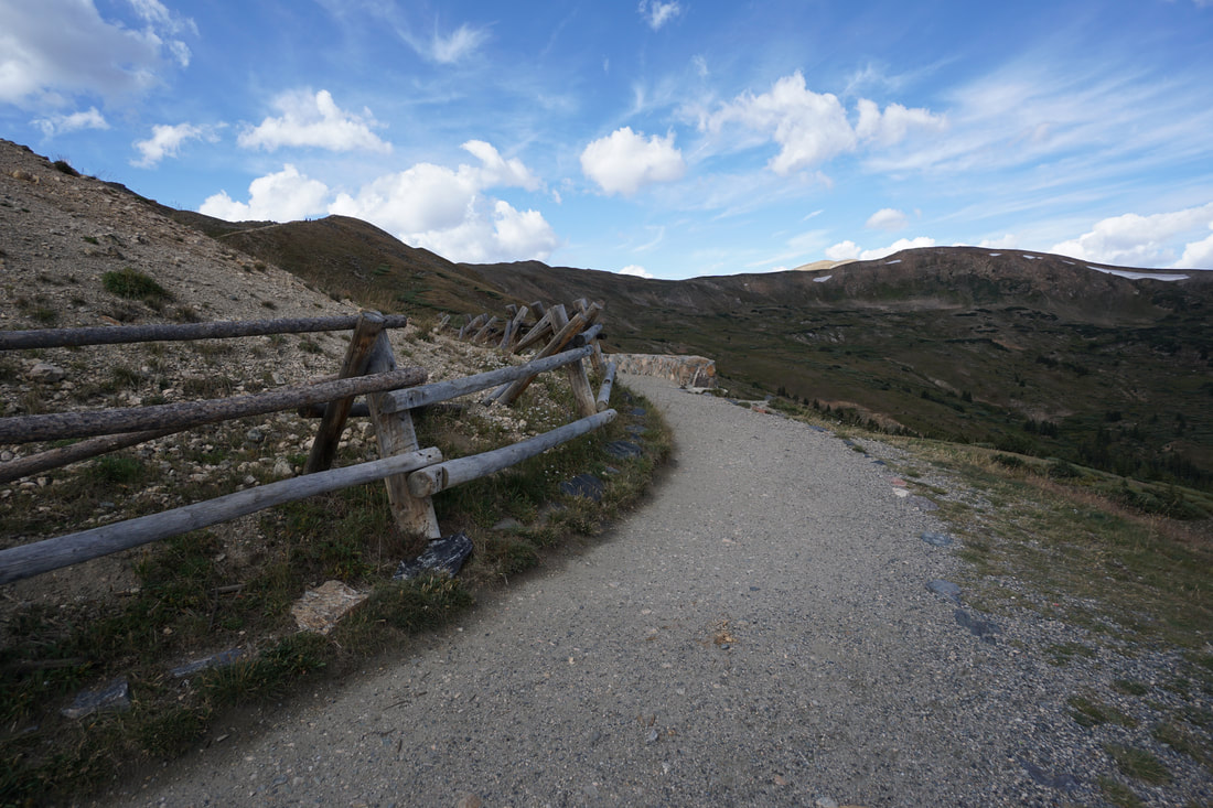
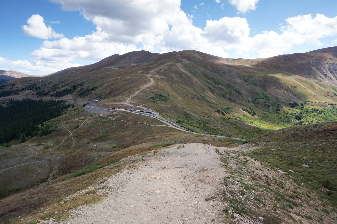
DIRECTIONS: From I-70, east of the Eisenhower Tunnel, take the exit for Loveland Pass (US 6) and head up the windy paved road to the top of the Pass at 11,990 ft. Park at the pass if you can. On busy summer weekends you may have to park at the pull-offs to the south of the pass and hike up to the trailhead. The trail starts on the western side of the pass behind the Loveland Pass sign.
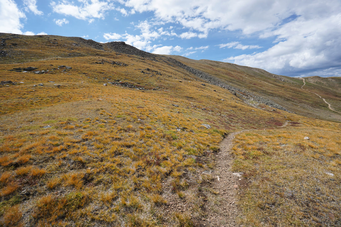
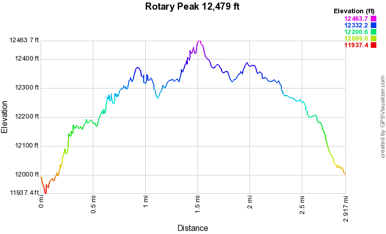
Rotary Peak, officially designated as point 12,479, is an easily overlooked bump on the ridge towering over Loveland Basin. However, with a wonderfully constructed trail leading from Loveland Pass, Rotary Peak is a great way to explore the high country when you have limited time for hiking.
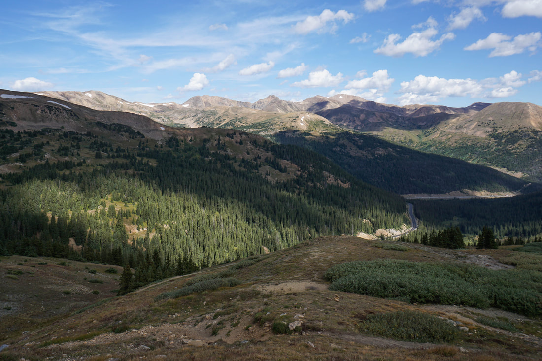
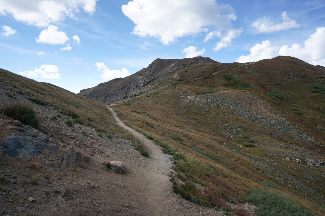
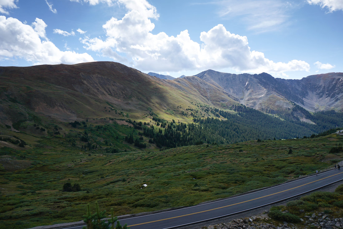
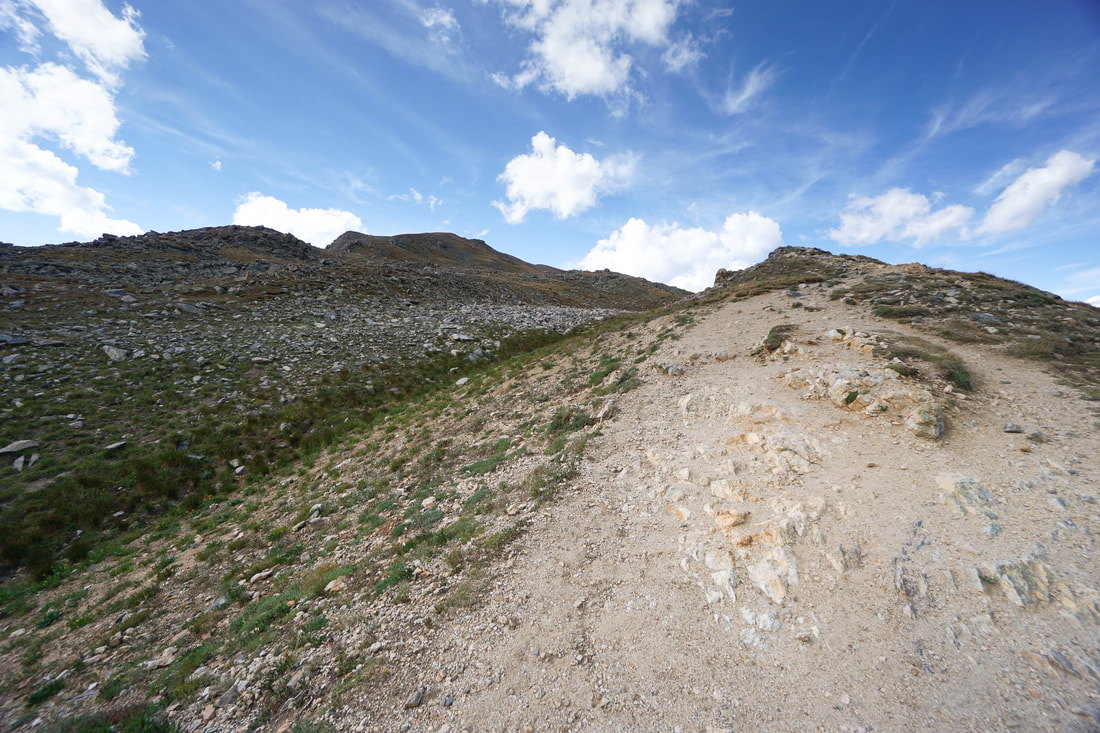
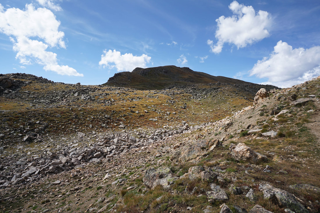
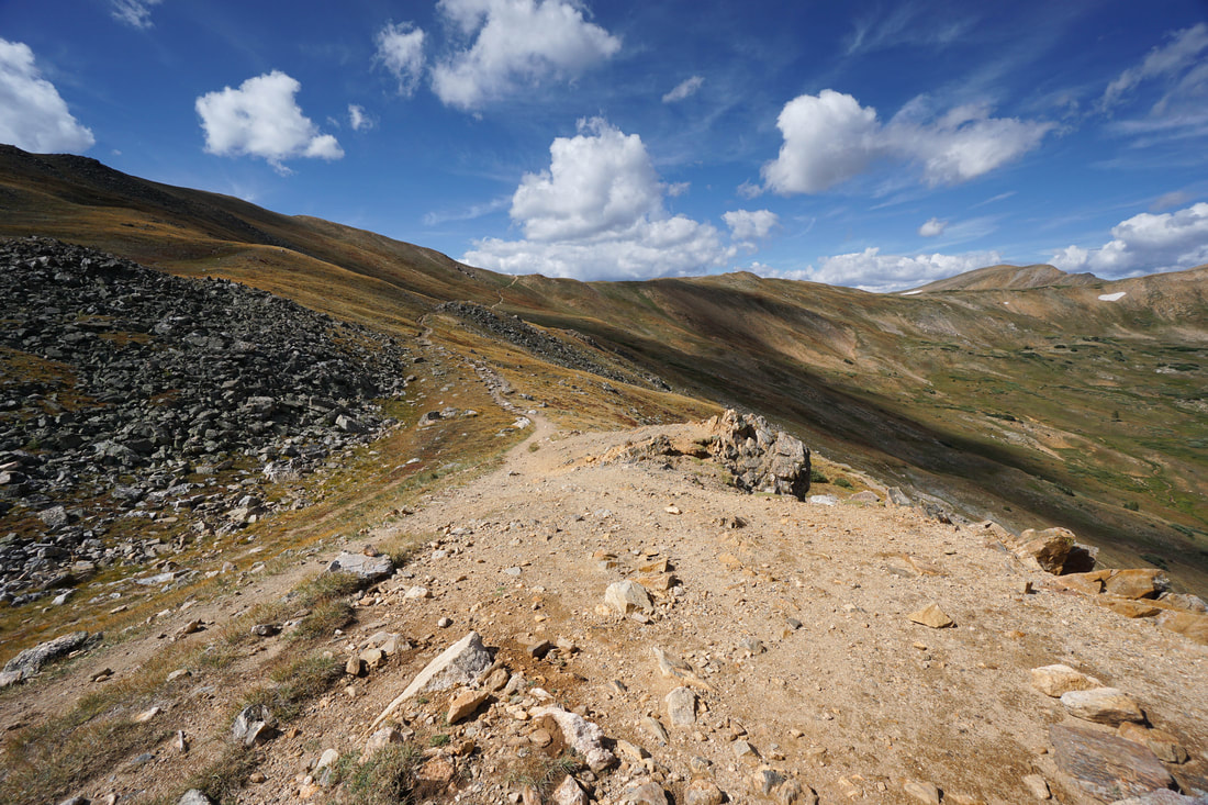
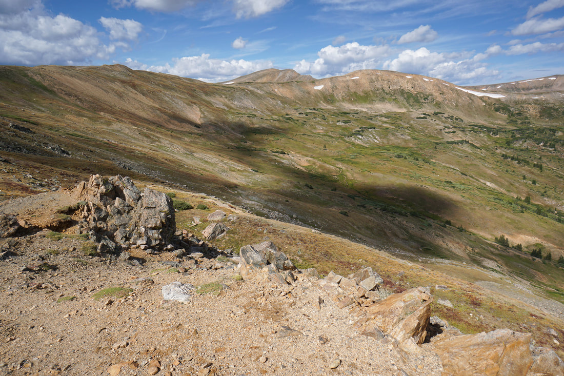
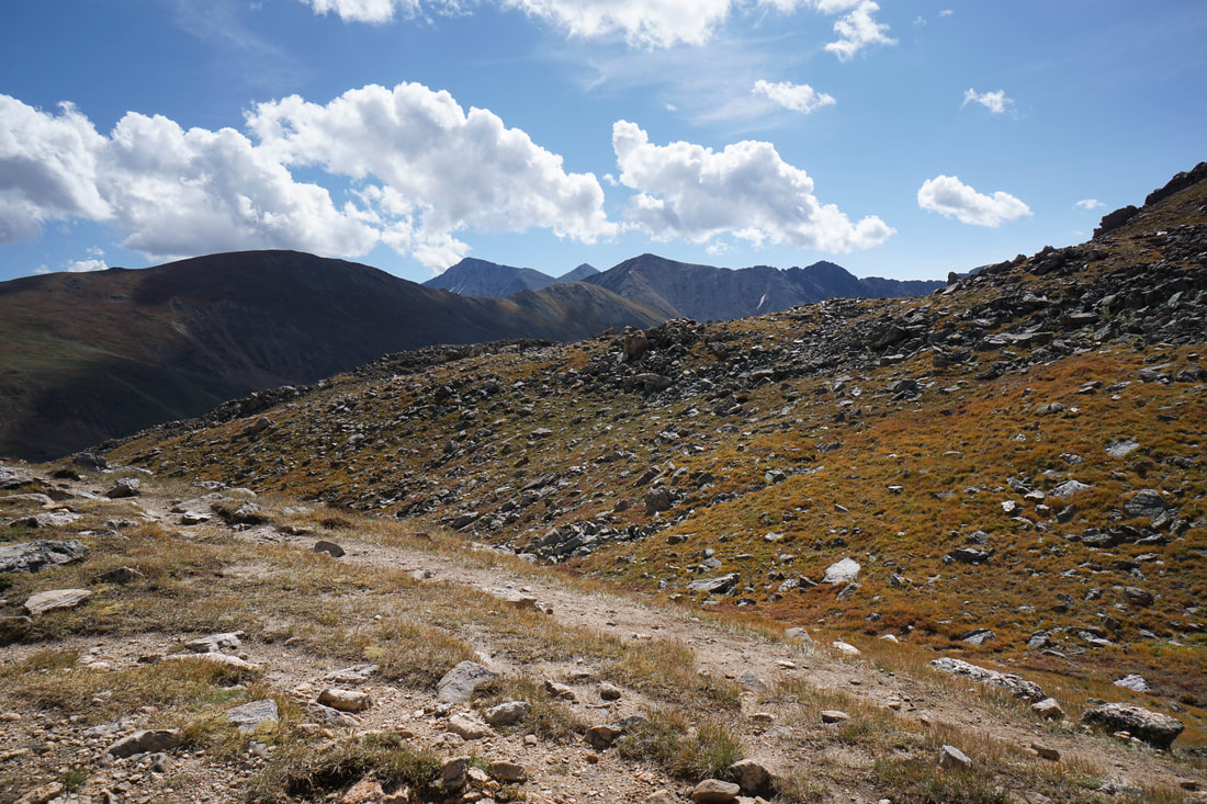
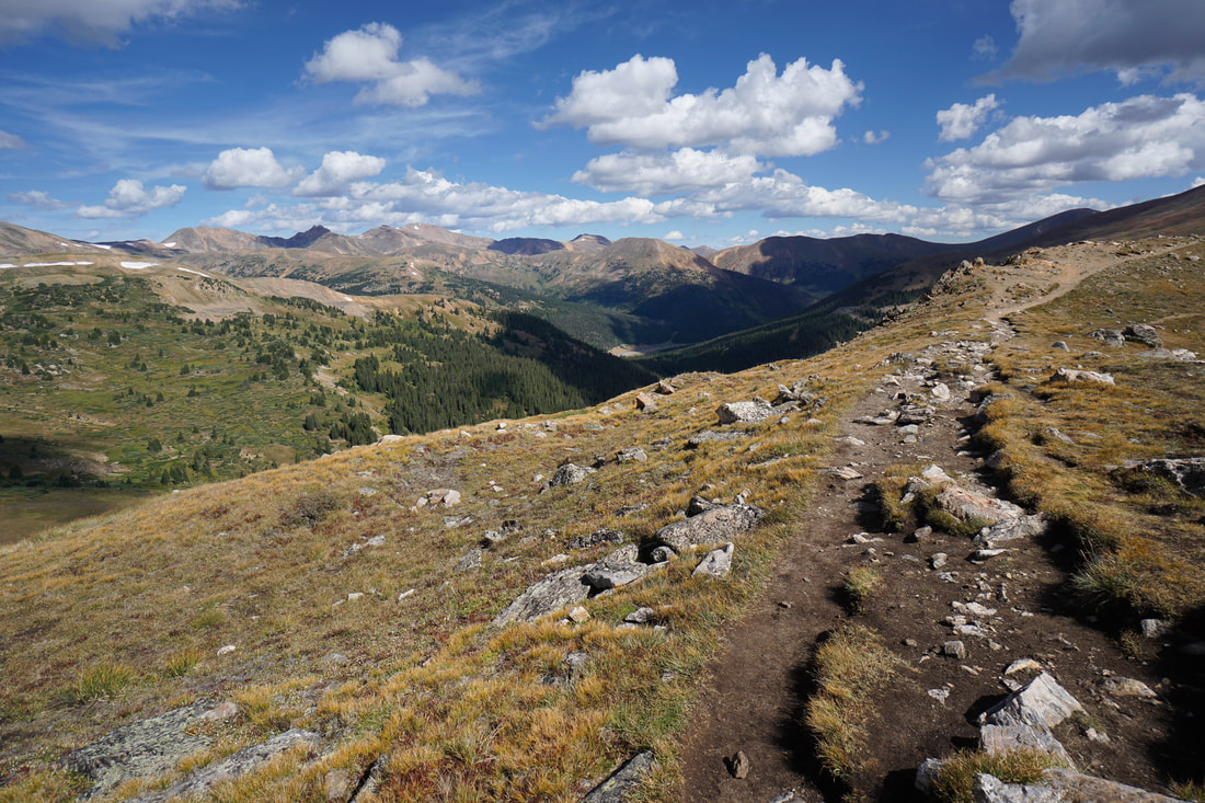
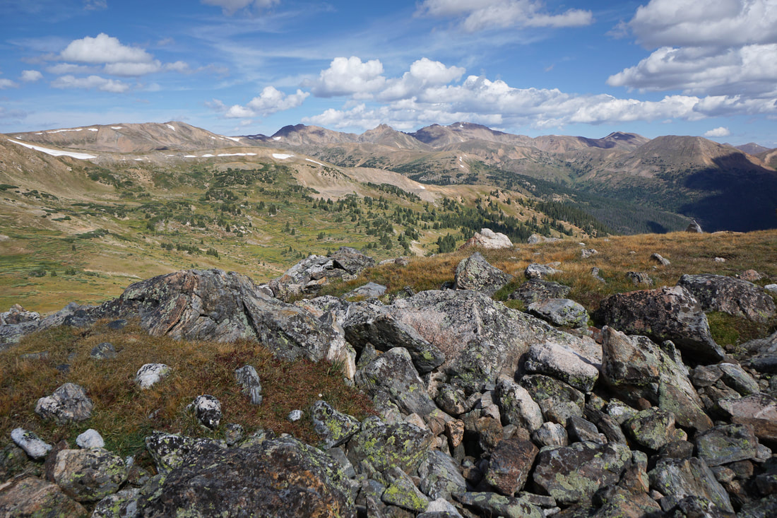
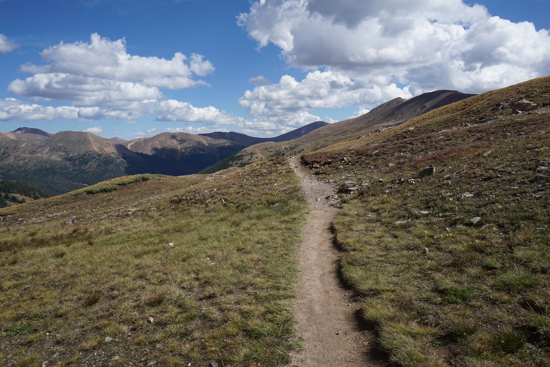
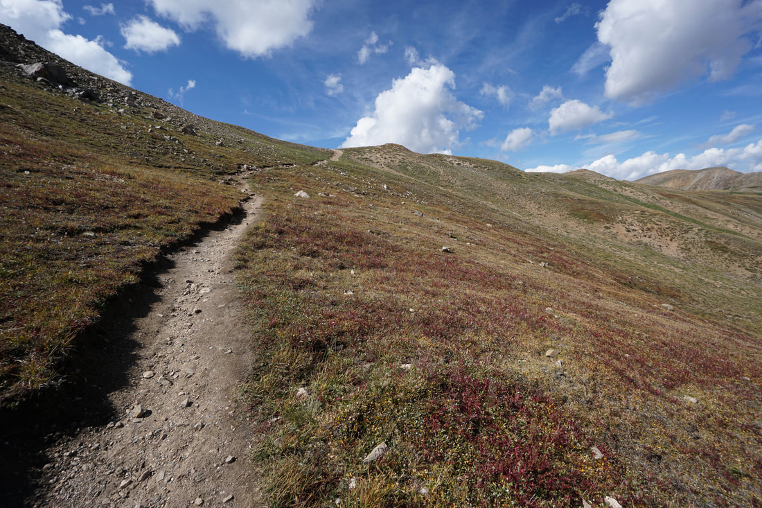
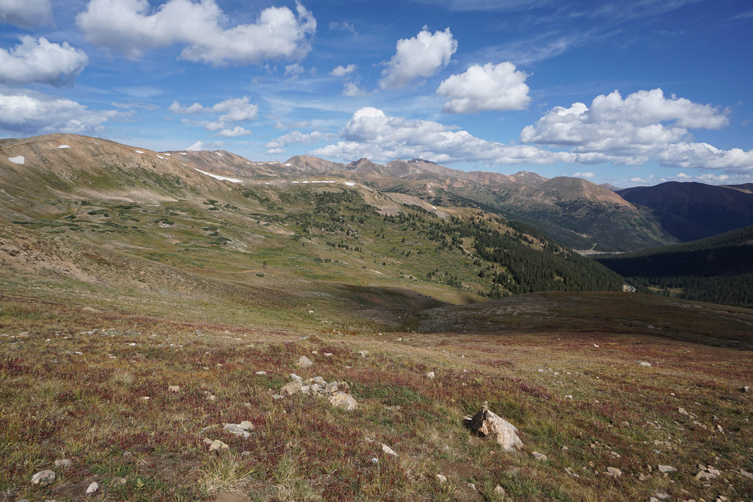
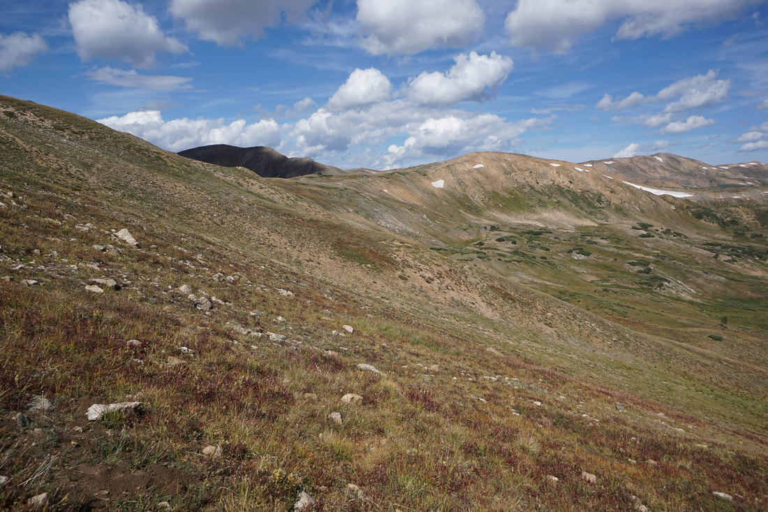
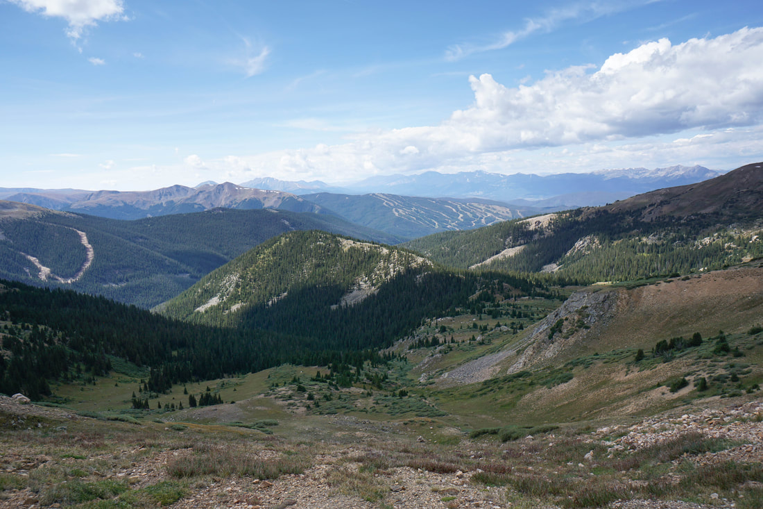
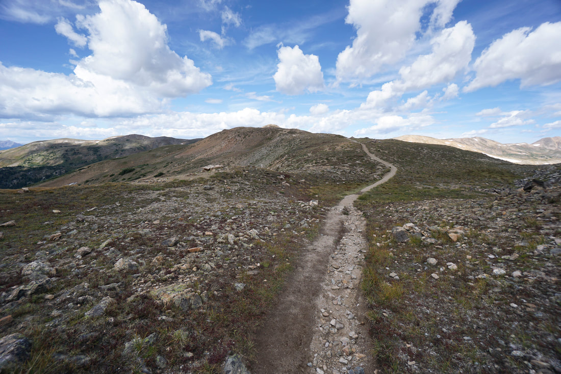
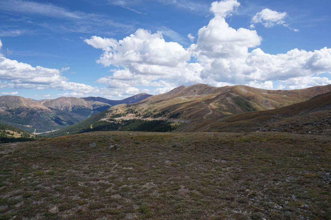
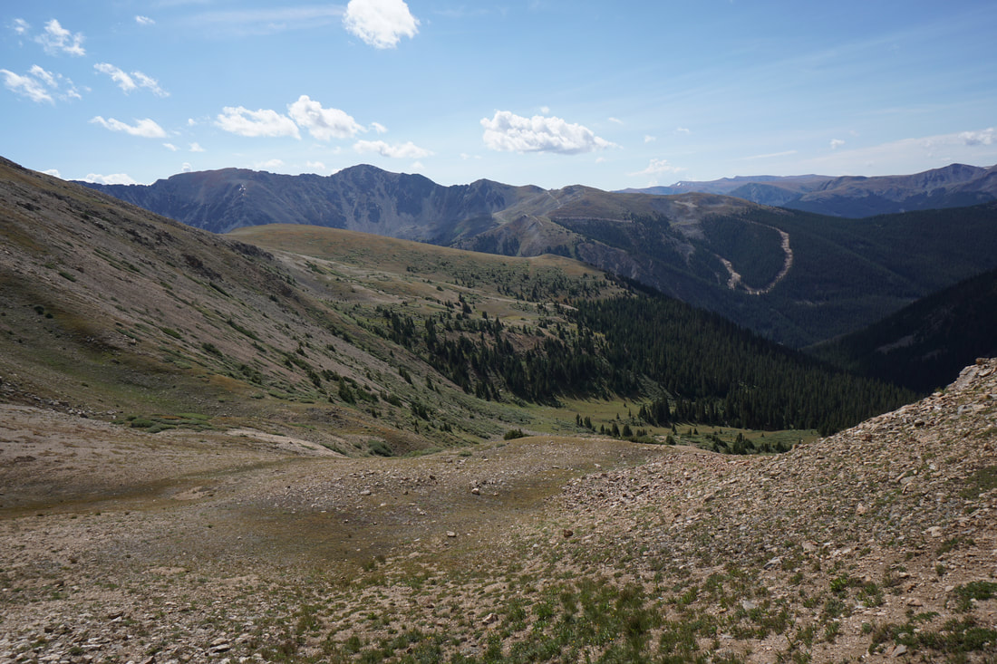
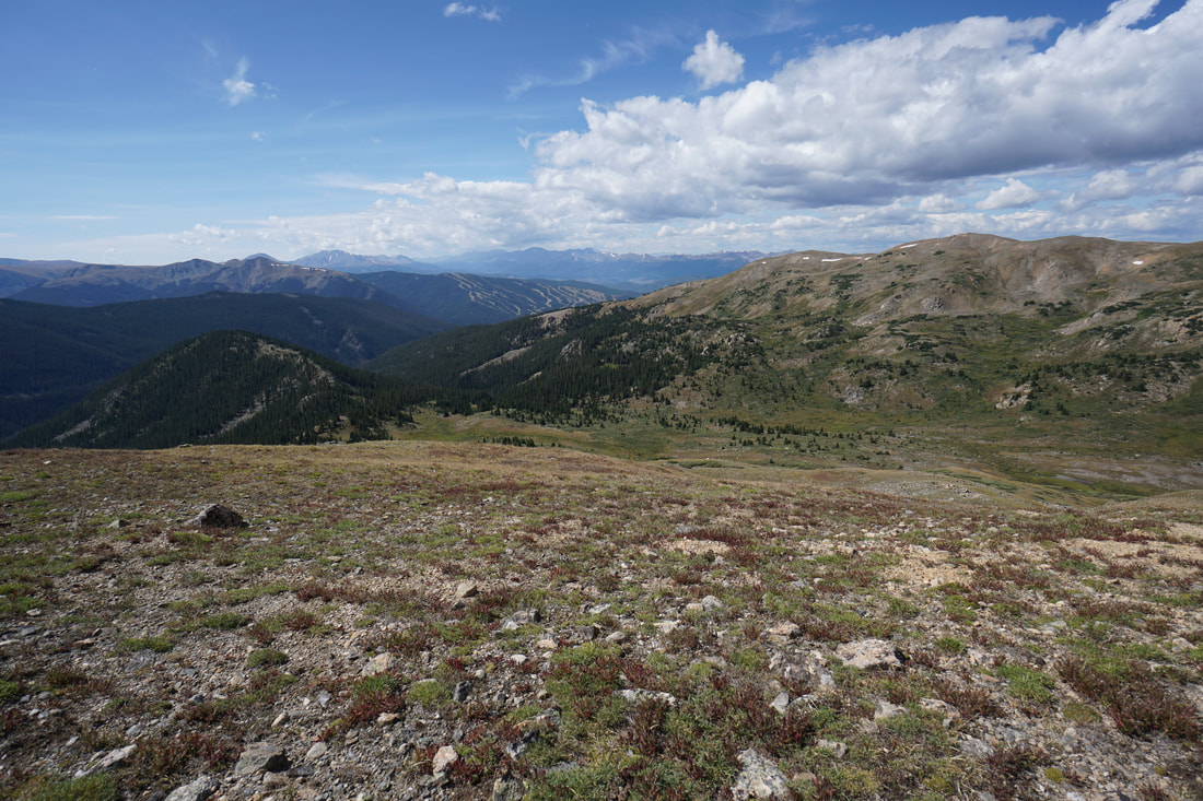
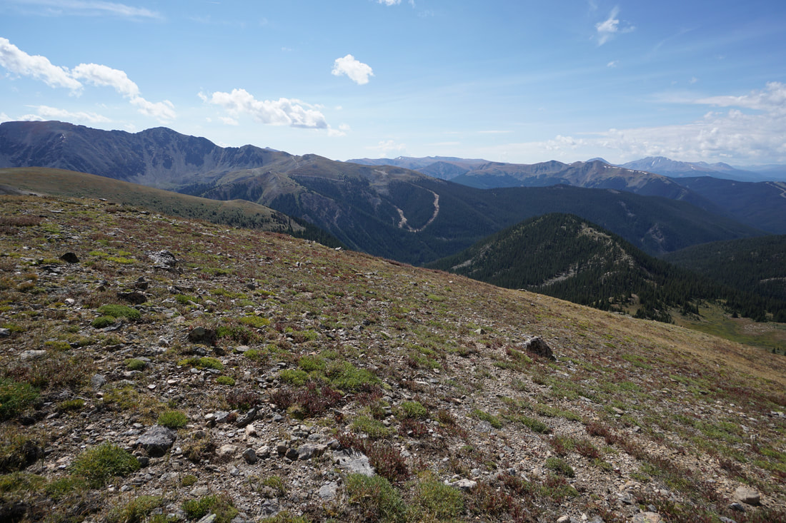
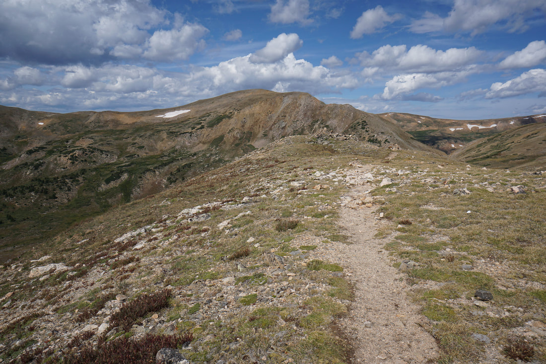
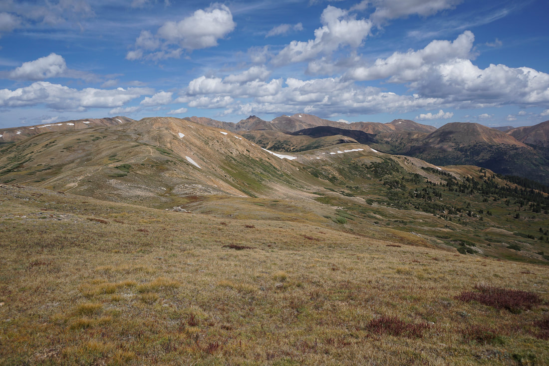
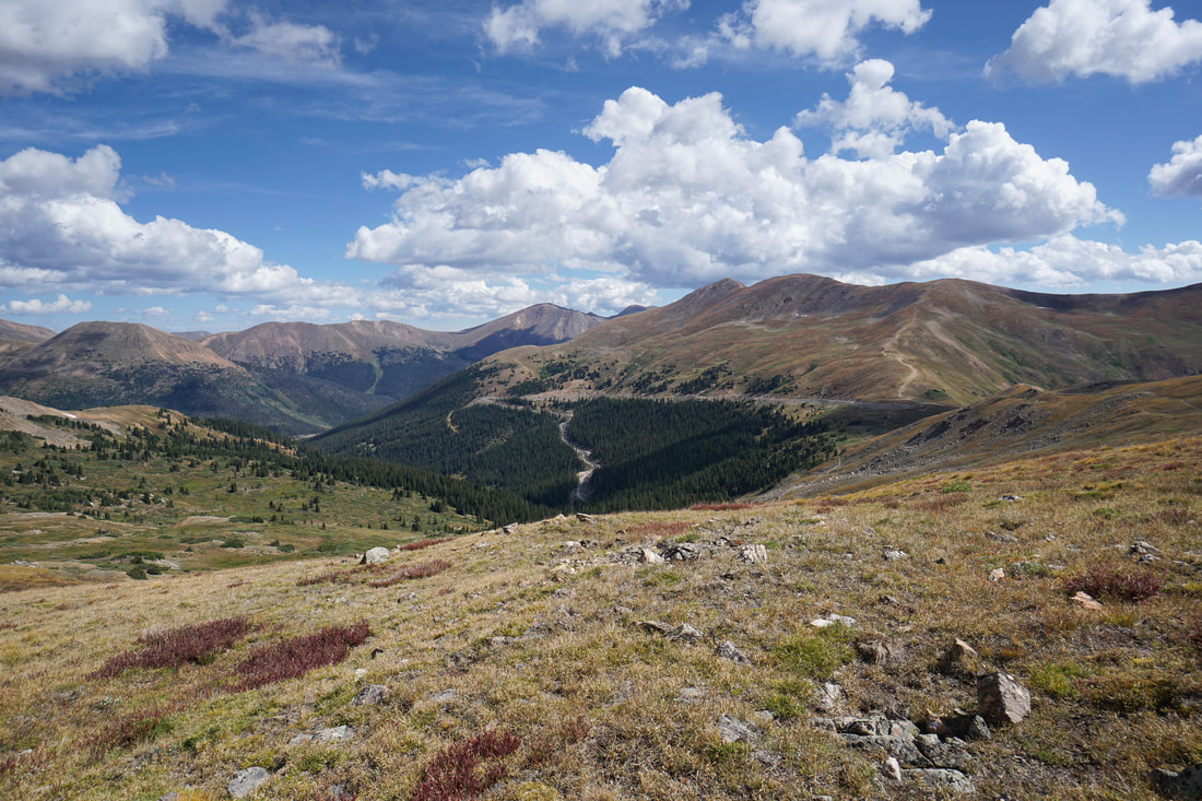
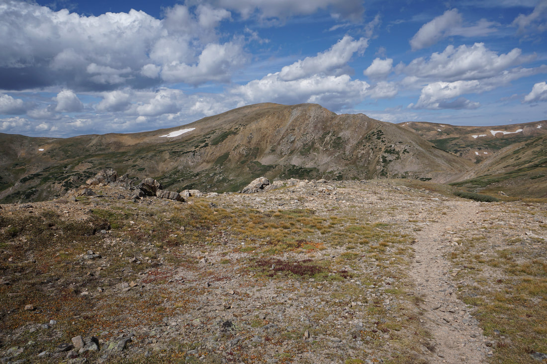
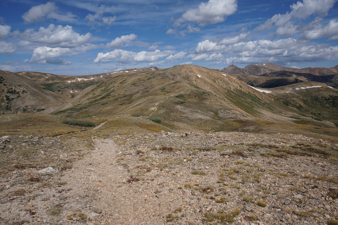
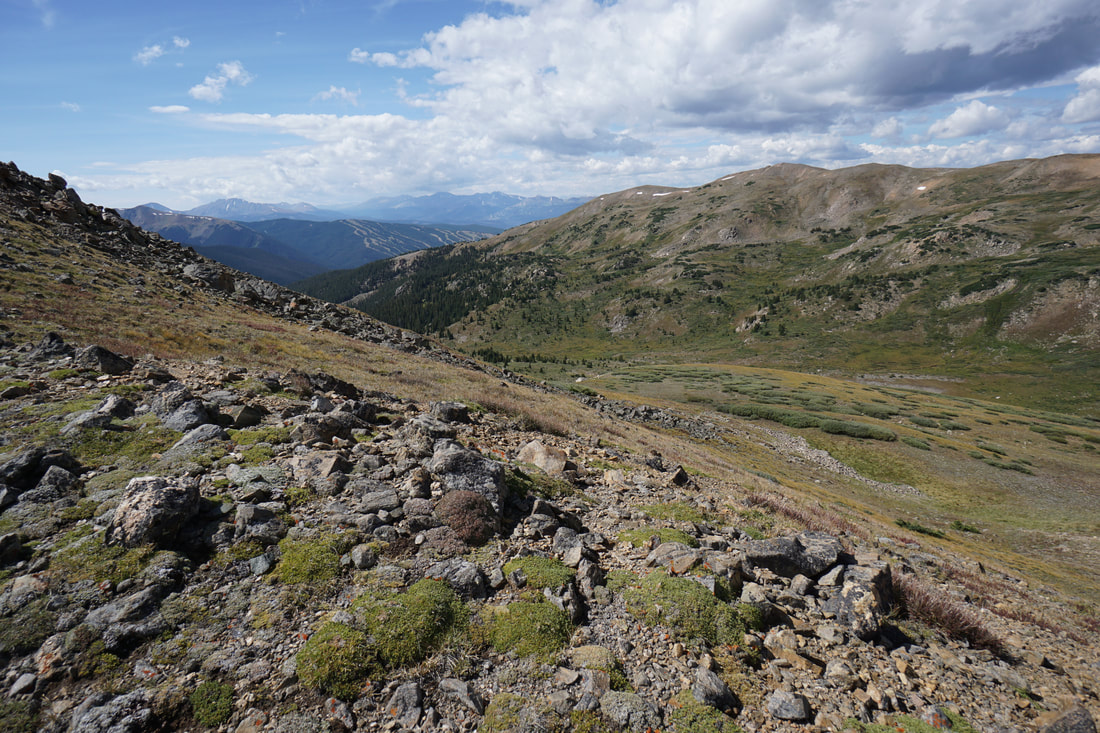
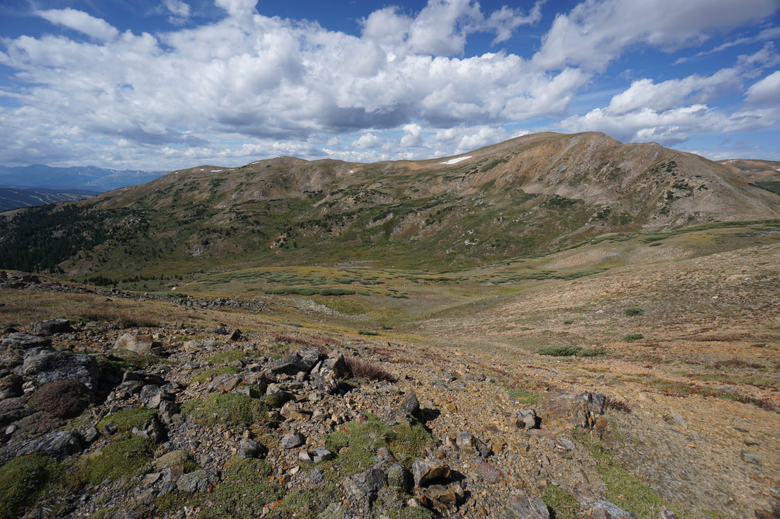
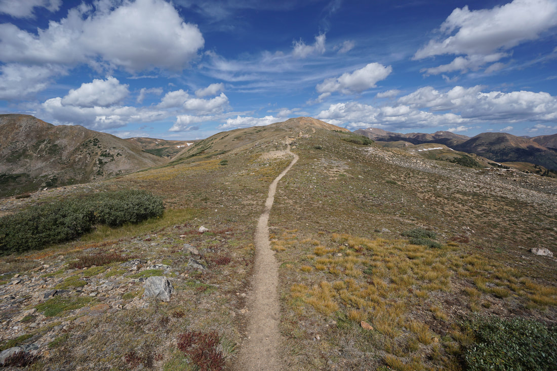
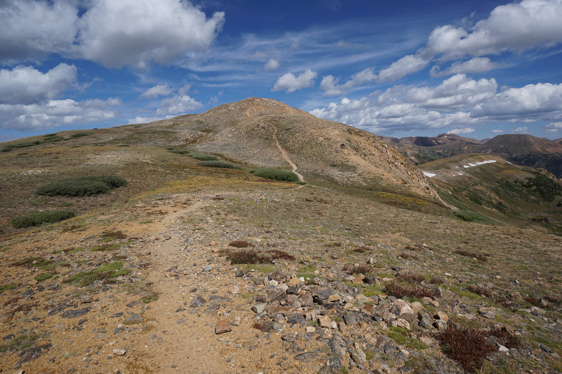
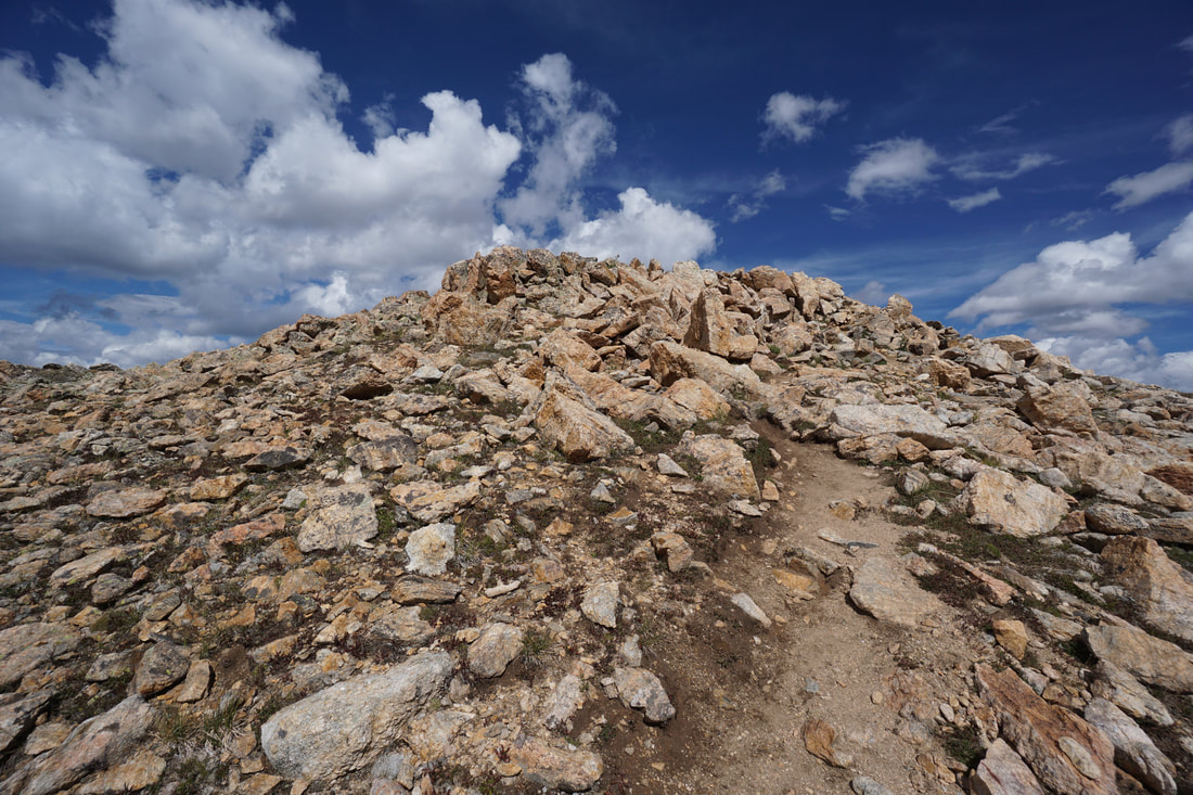
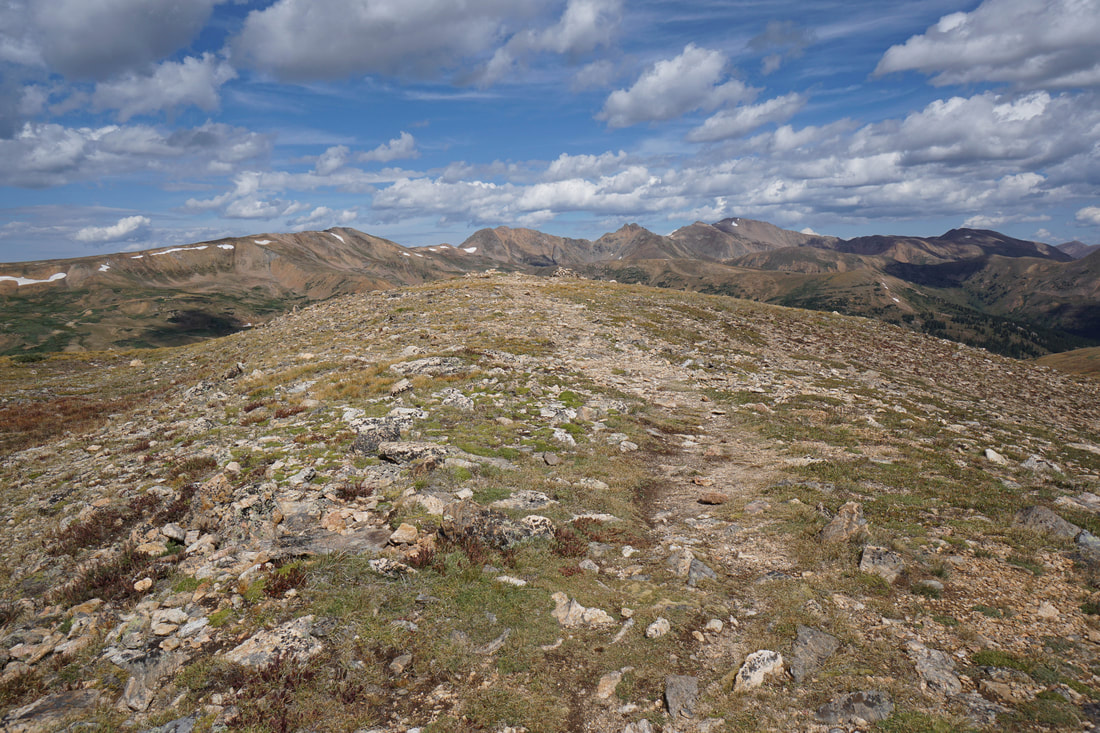
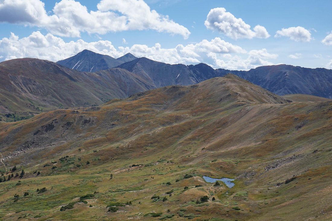
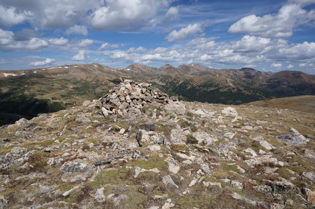
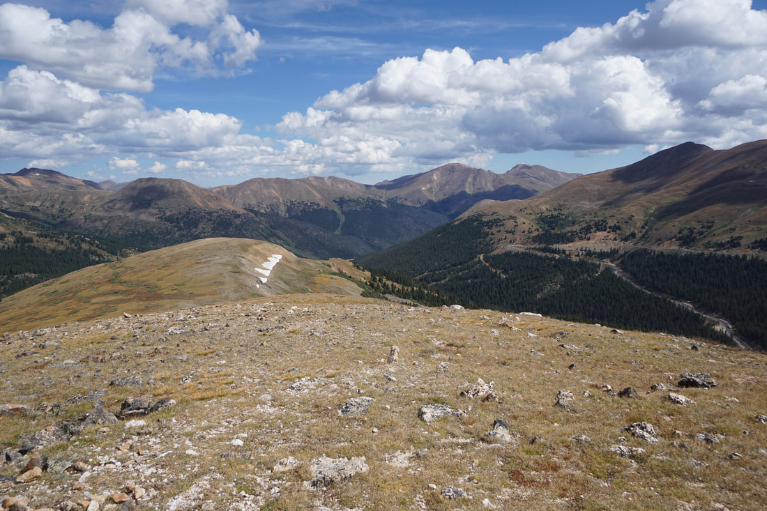
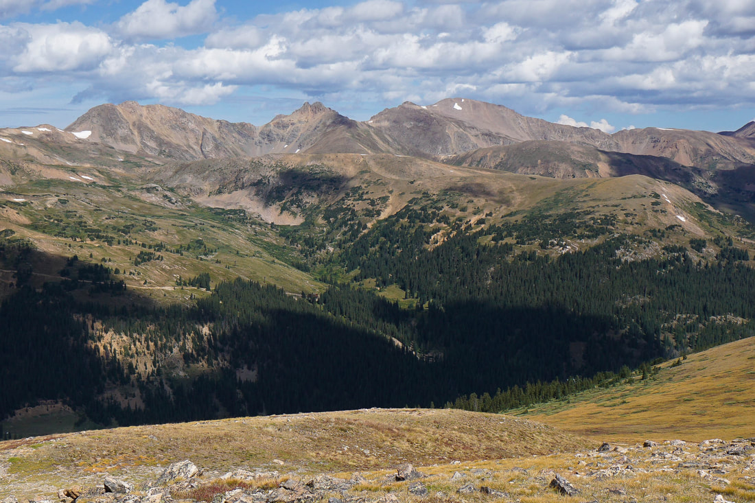
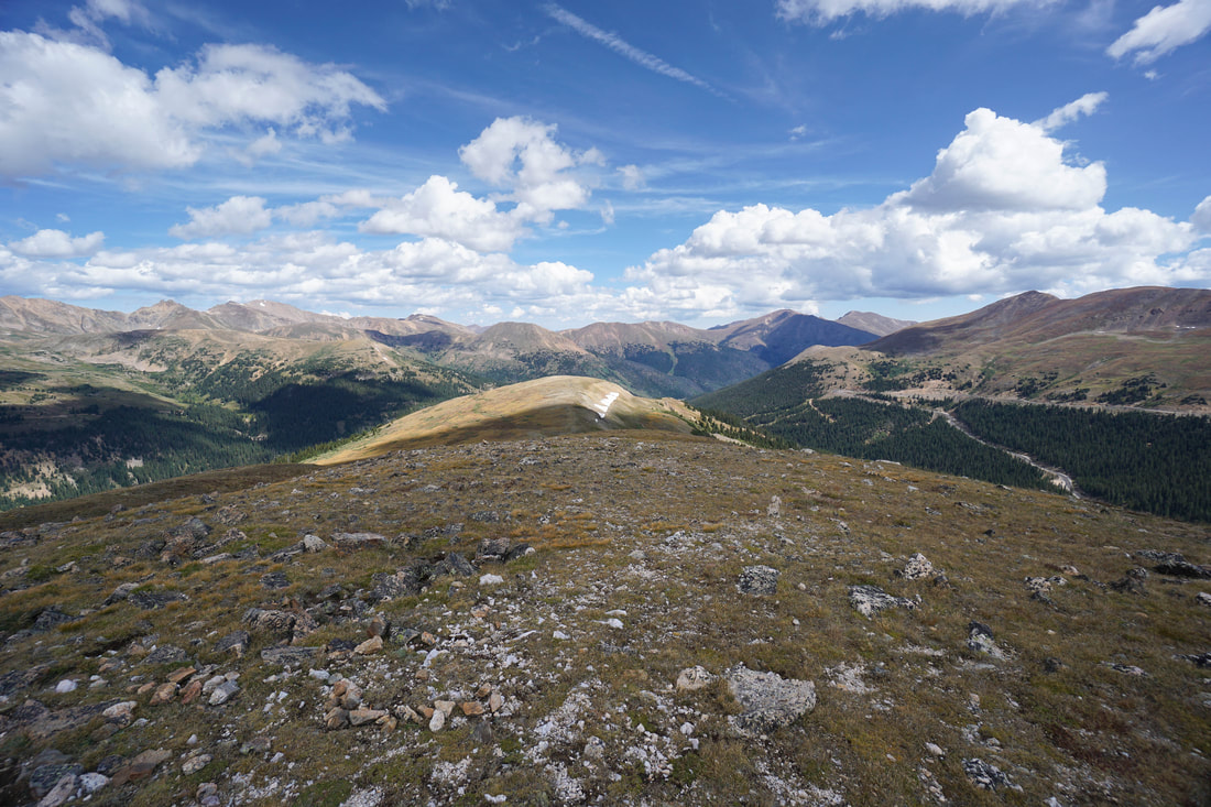
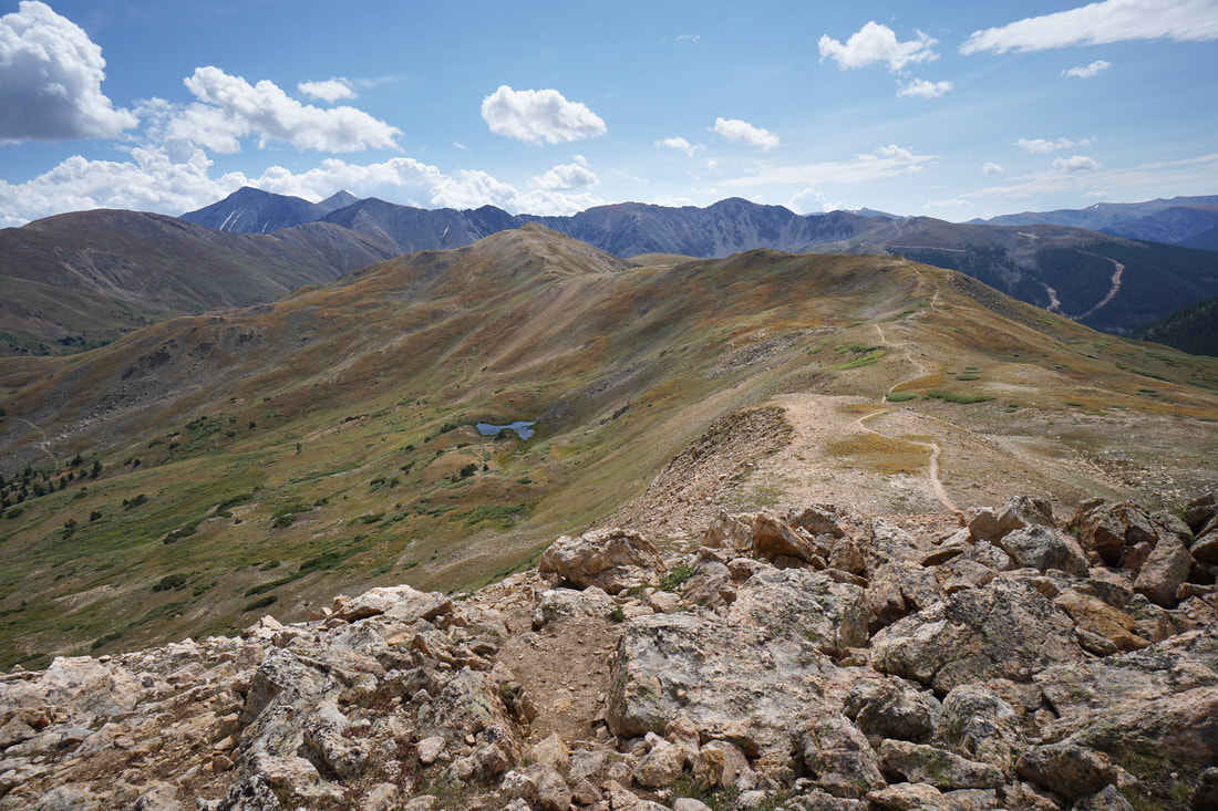
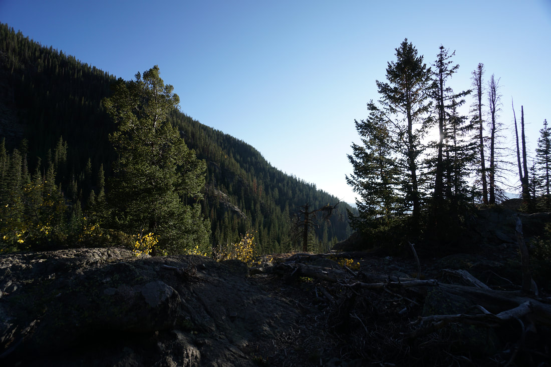
The trail starts from Loveland Pass at 11,990 ft and heads west cutting across the north slope of the basin. Immediately the views across the I-70 valley are impressive, with Hagar Mountain, the Citadel, and Pettingell Peak taking center stage. The trail gains elevation steadily but never too steeply and at the .4 mile mark you'll come to a trail junction, continue straight. After another 3/10ths of a mile you arrive at the pass with a large cairn and expansive views to the west. This is a good spot to stop and take a look at the weather, which comes in quickly at 12,000 + feet of elevation. Continue following the trail as it turns north and follows the ridge. At this point, you've already gained most of your elevation and the trail rambles pleasantly along with incredible views in every direction. As you near Rotary Peak the views just get better and better. To the east, across Loveland Pass you are treated to phenomenal views of the 13ers and 14ers along the Continental Divide including Mount Sniktau; Cupid Peak; Grizzly Peak; Grays Peak; and Torreys Peak. You can also get a good look at Lenawee Mountain above the Arapaho Basin Ski Area. Distant views include the Tenmile, Gore, and Sawatch Mountain Ranges. Before too long, the obvious route up to Rotary Peak will come into view, simply follow the trail to the top of the rounded summit, when the trail ends at a large wind shelter, you've arrived at Rotary Peak. Again, the 360 degree views are amazing and this is the perfect spot to relax and take it all in. When you are satisfied (if ever...) head back along the ridge to Loveland Pass. If you have time and energy you can also summit the unnamed peak just to the west of Loveland Pass on your way back. There are numerous routes to the top, all of them relatively easy. Rotary Peak is a wonderful, relatively easy peak to bag from Loveland Pass. The hiking is far easier than the peaks to the east of the pass but don't forget that the entirety of the hike is above 12,000 feet. Make sure that you are well hydrated and that the weather is stable. If so, this should be a great half day excursion along the Front Range's alpine wonderland...enjoy! |
|