|
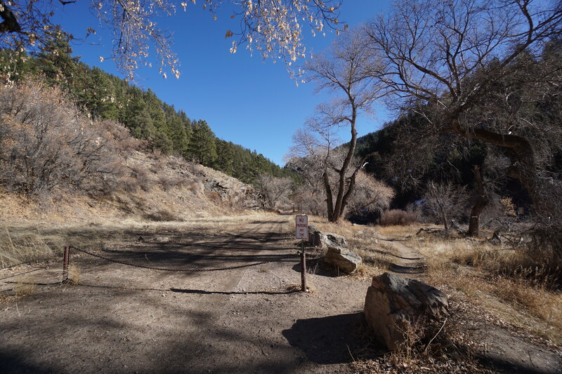
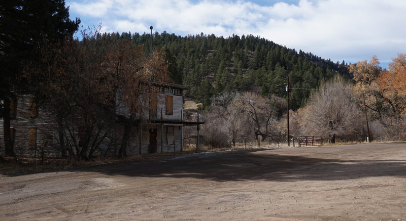
Directions: From Denver, take Hwy 285 South past Conifer/Aspen Park and turn right at the signs for Reynolds Park/Foxton Road. The offramp will curve around and at the stop sign turn left onto Foxton Road heading south. Pass through Reynolds Park and when you reach the South Platte River, turn left (east). Follow County Road 97 - Platte River Road (good dirt road) for about 5 miles to the North Fork Trailhead on the left, across from the historic abandoned South Platte Hotel. The trailhead for Platte Canyon is just to the right (east) of the North Fork Trailhead.
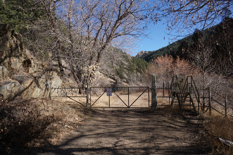
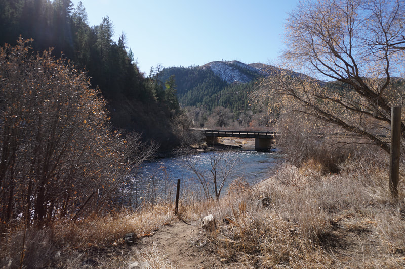
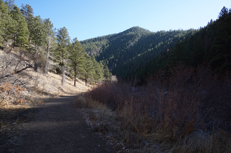
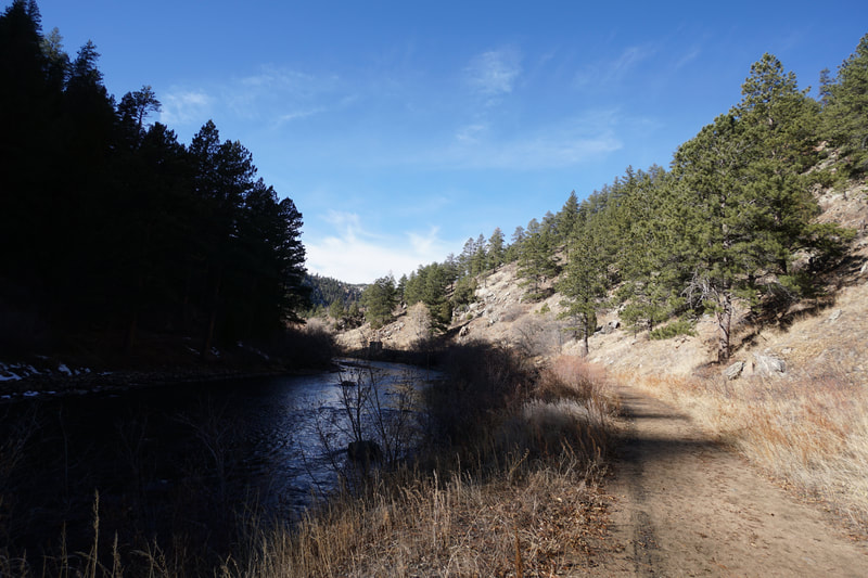
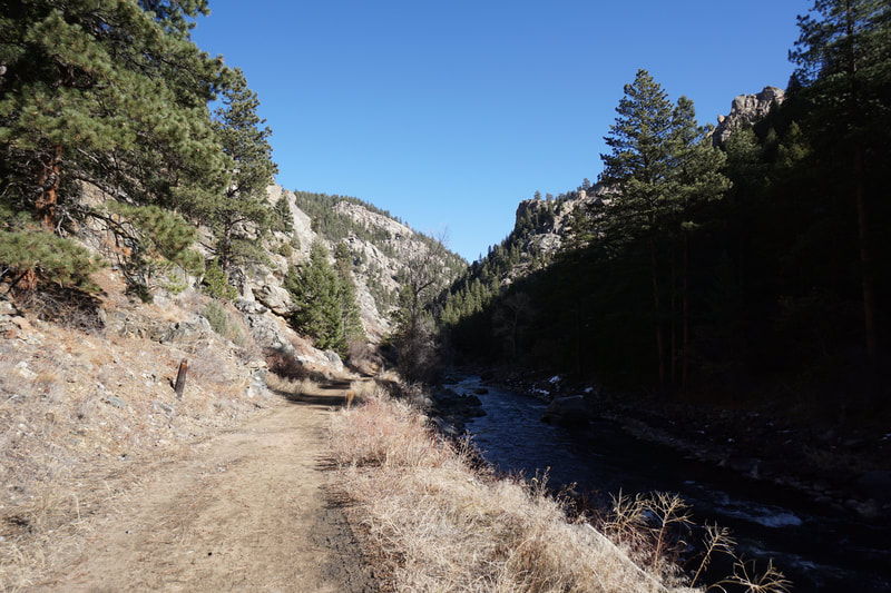
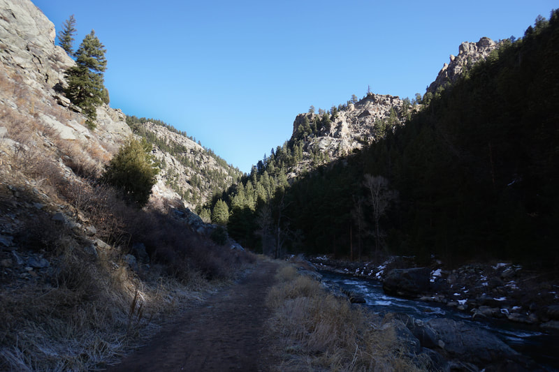
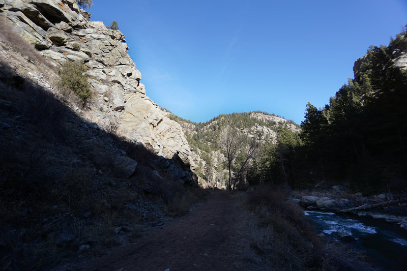
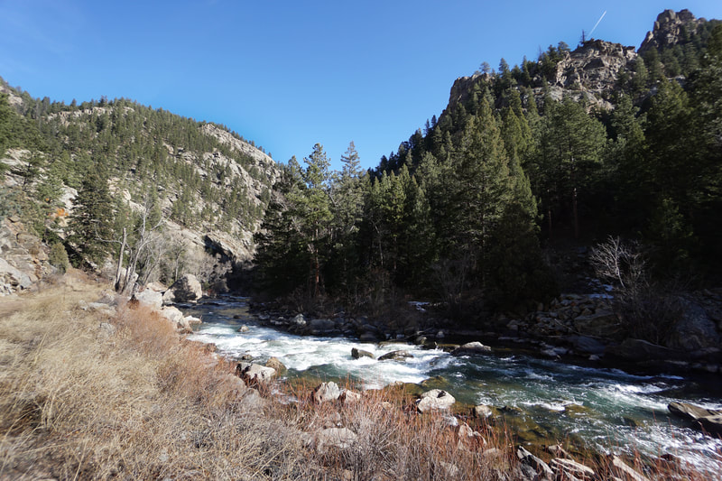
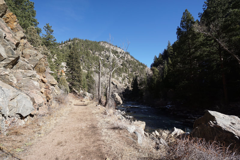
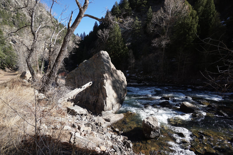
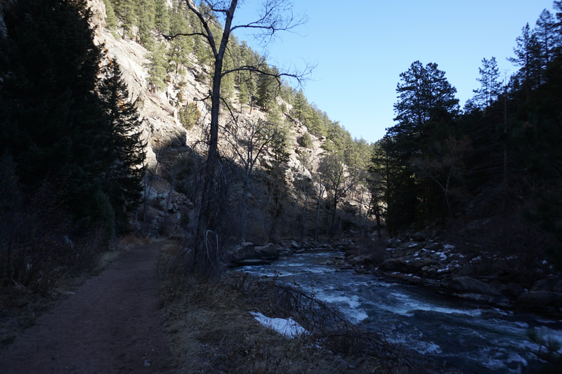
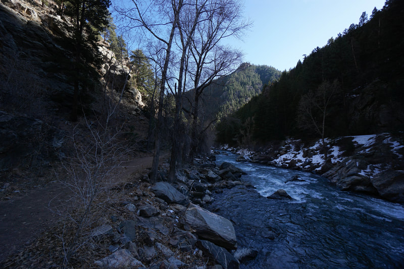
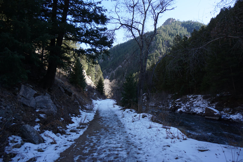
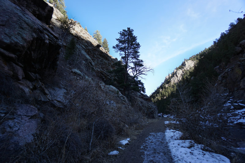
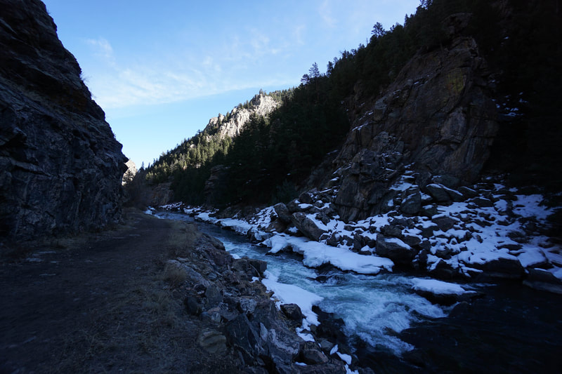
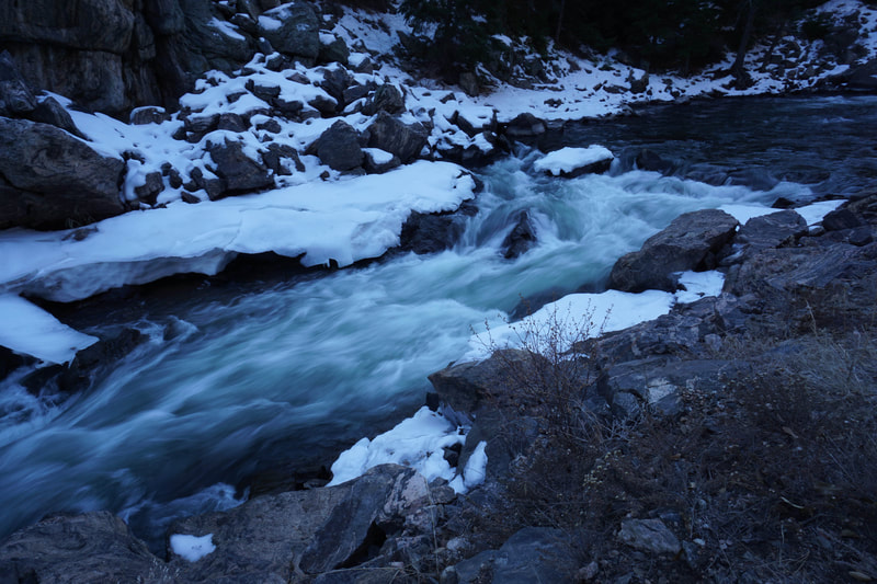
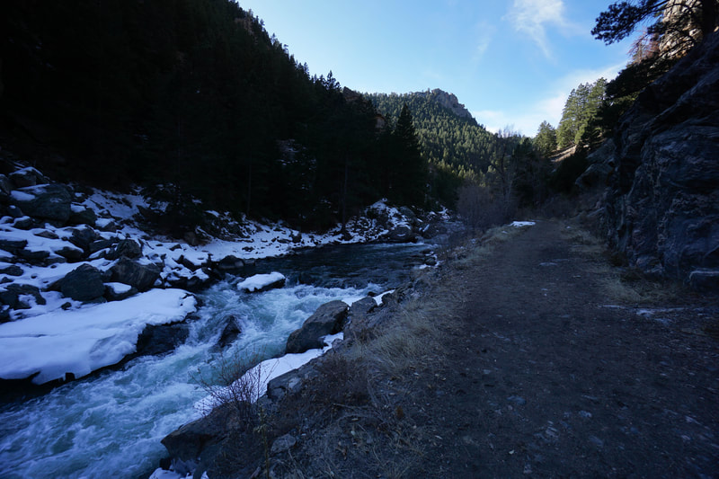
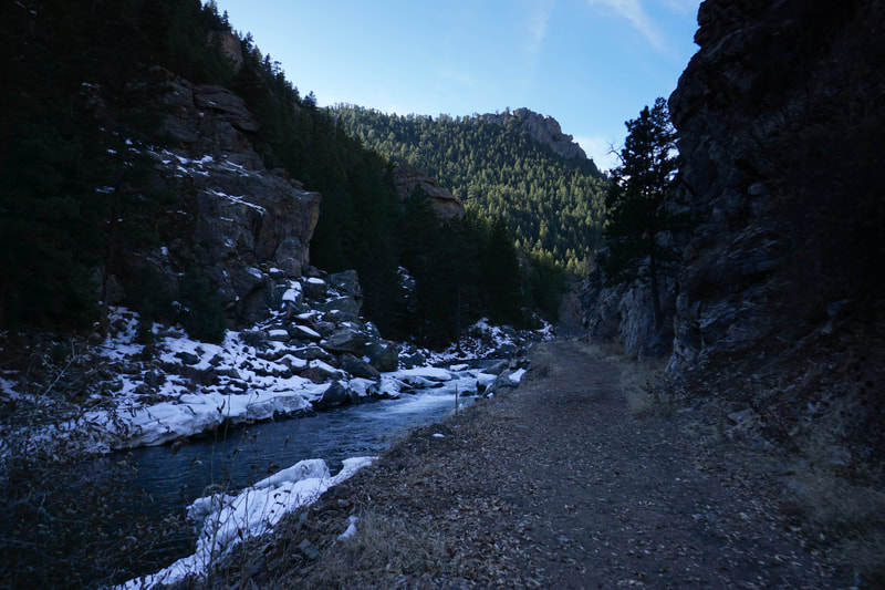
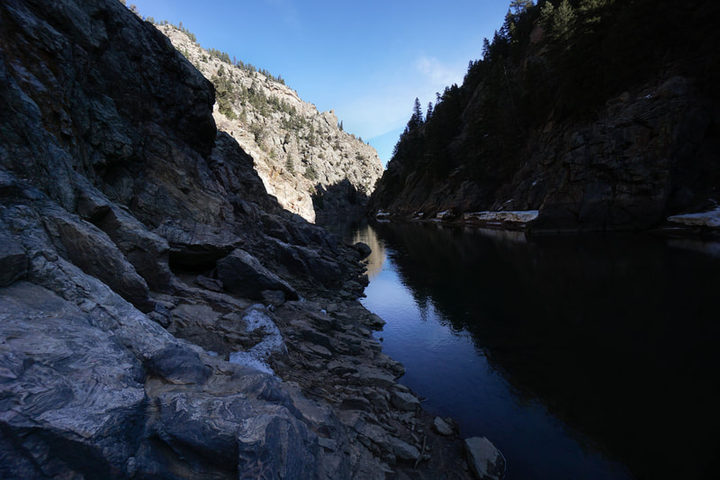
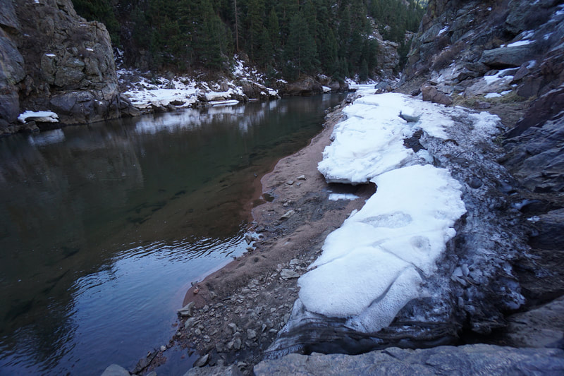
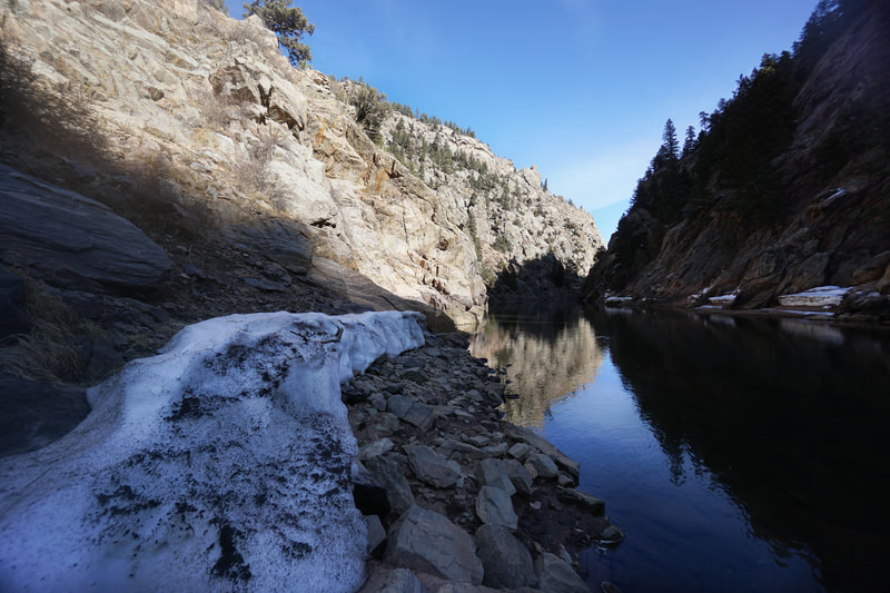
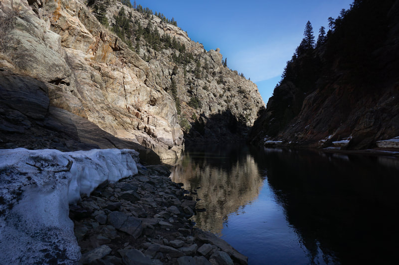
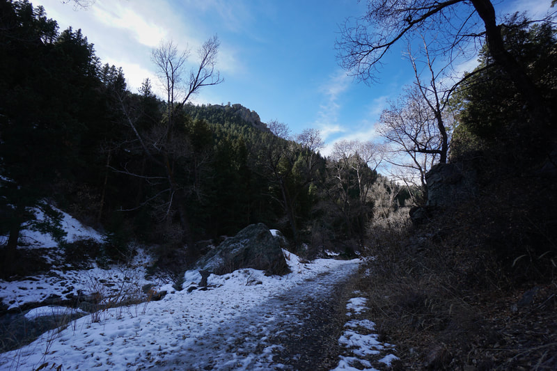
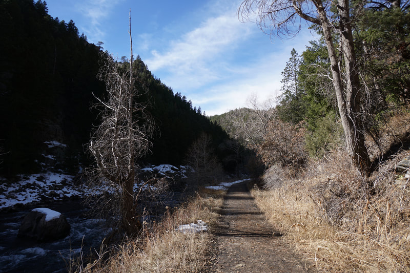
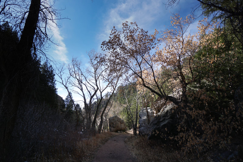
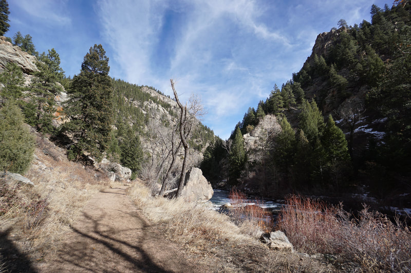
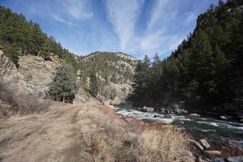
This trail runs through Platte Canyon from 97 to a spot along the canyon west of Strontia Springs Reservoir and Waterton Canyon. The trail has no apparent name but is well maintained as it is used by Denver Water to access a gauging station along the river. The trail is mostly flat and winds along the shores of the South Platte. Along the way there are plenty of river access spots, used mostly for fishing.
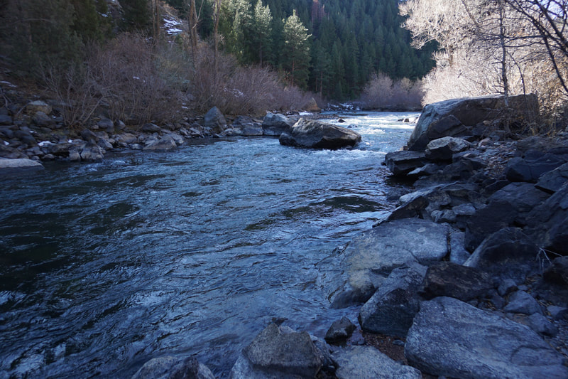
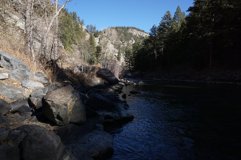
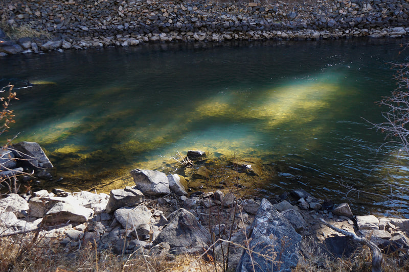
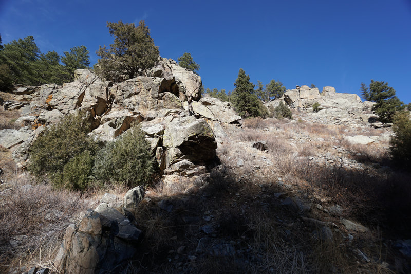
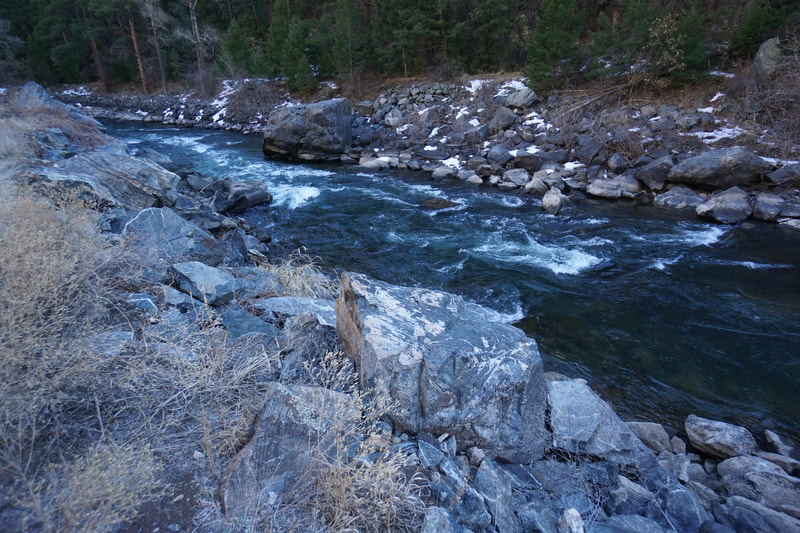
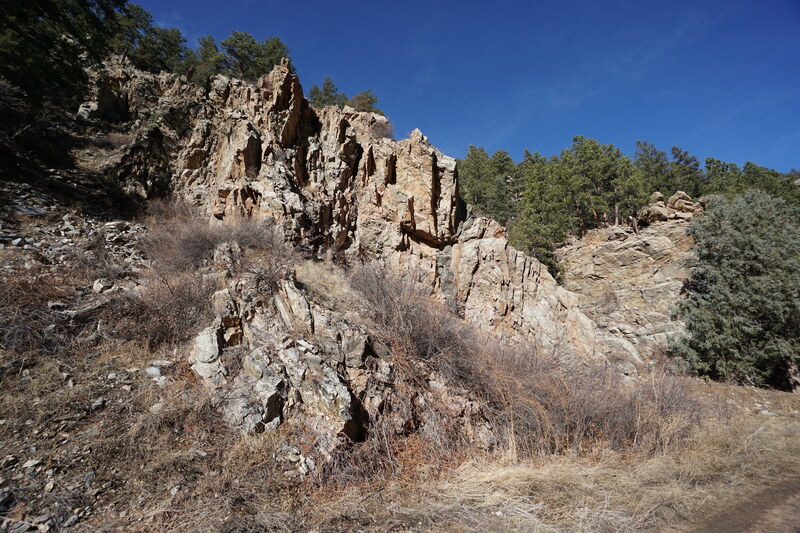
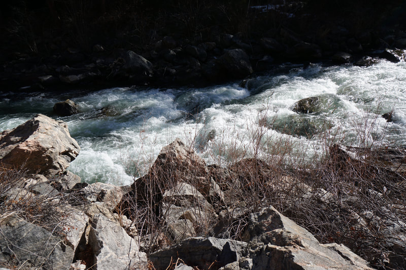
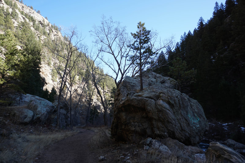
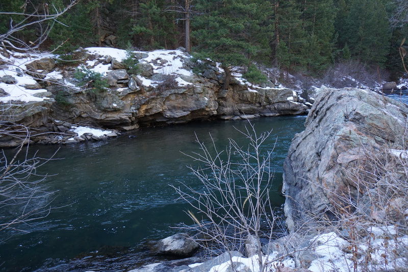
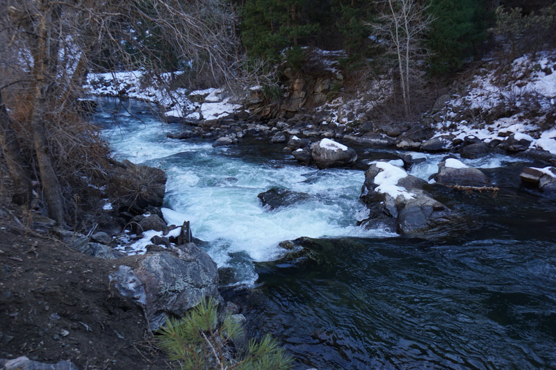
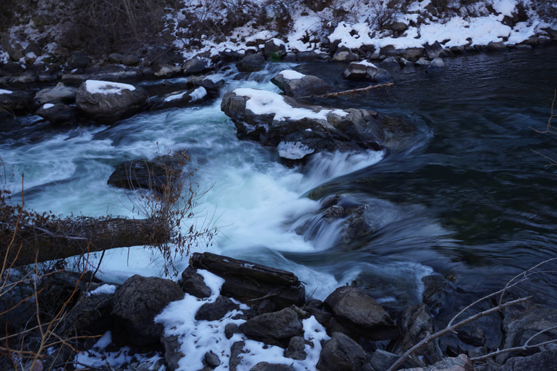
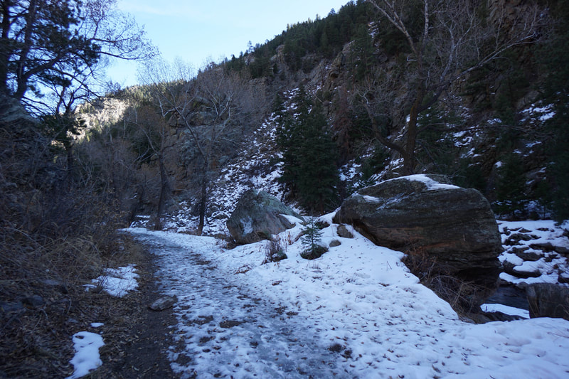
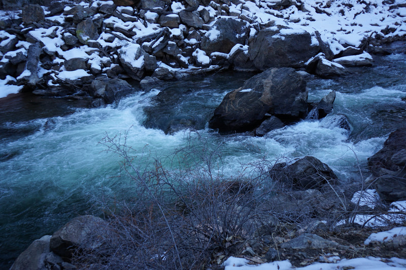
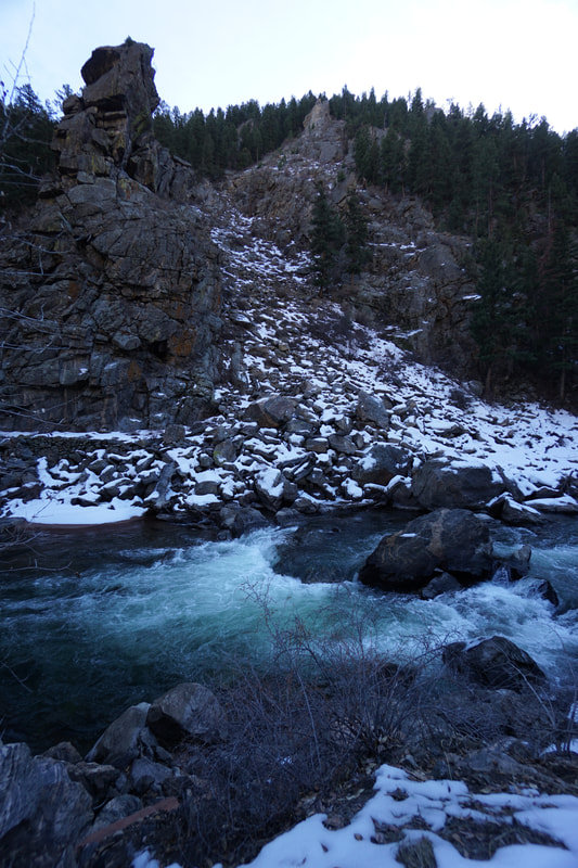
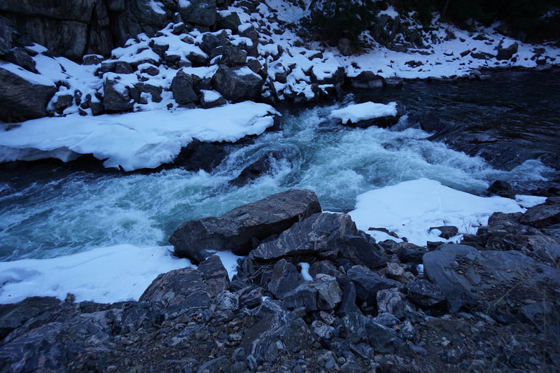
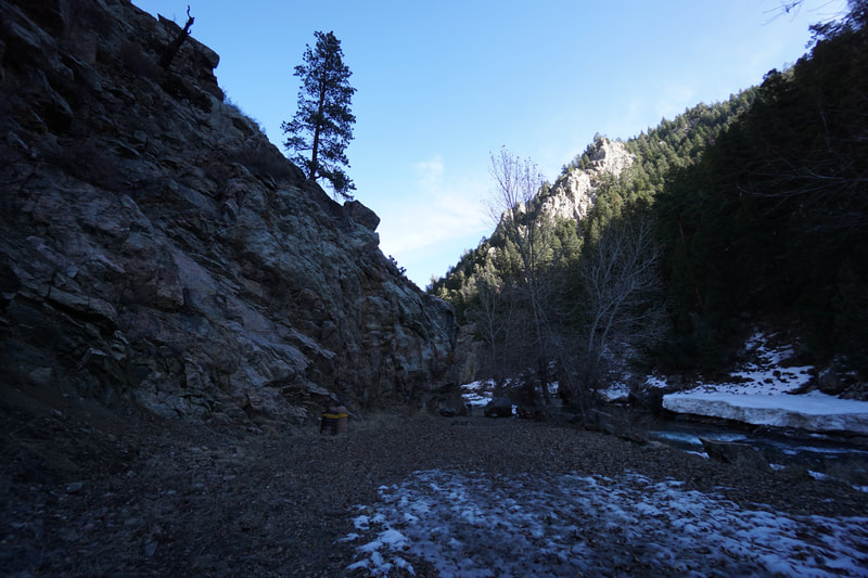
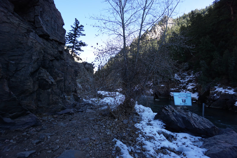
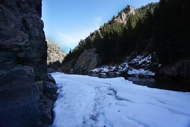
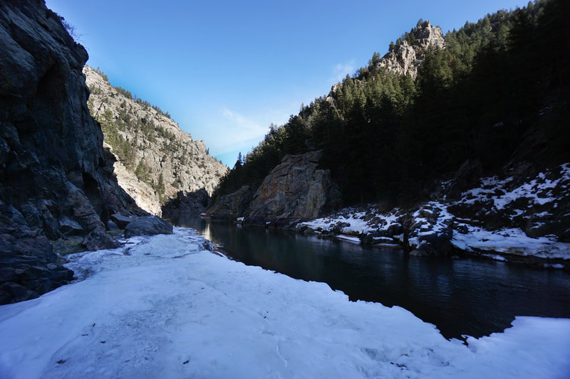
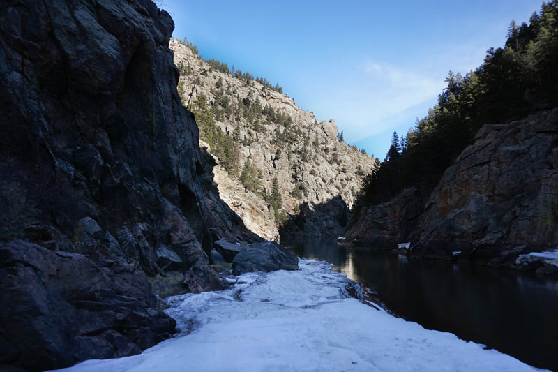
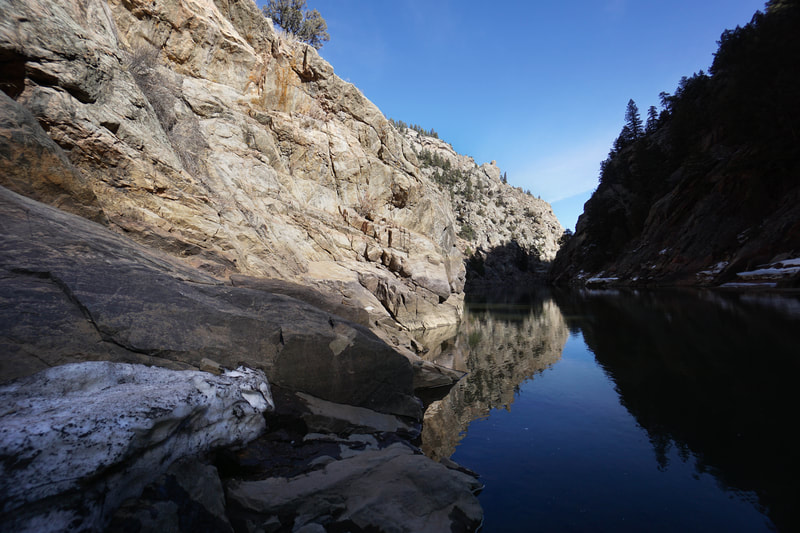
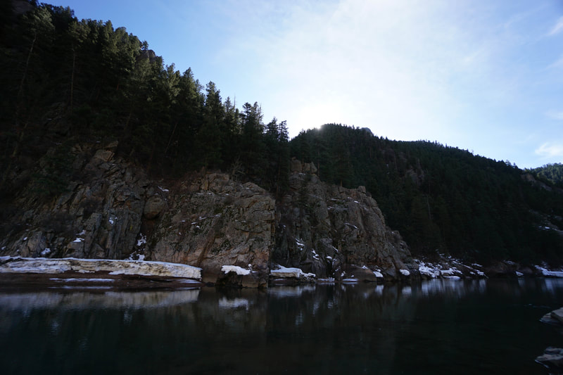
The canyon itself is extremely scenic. The steep canyon walls are topped by rocky peaks, spires, and rock formations. Cottonwood Trees line the river (should be beautiful in the fall) as do massive boulders. The river switches between serene pools and roaring cascades. At just about 1.5 miles you'll come to a sign warning rafters that they are getting close to Strontia Springs Reservoir. The trail ends here but you can continue along a faint trail and some boulder hopping for a few minutes more. The trail soon ends completely as the canyon walls become impenetrable. Platte Canyon is part of the South Platte River Corridor which is a wonderful spot to explore. The hike is perfect in the winter and shoulder seasons as it gets less precipitation than surrounding areas. The canyon does tend to hold onto snow and ice so bring some microspikes in the winter. Other trails in the vicinity worth exploring are the Colorado Trail; The North Fork Trail leading to Reynolds Park; and the Cathedral Spires, a popular climbing area. |
- HOME
- ABOUT
-
HIKES BY REGION
-
NATIONAL PARK HIKES
- BENT'S OLD FORT NATIONAL HISTORIC SITE
- BLACK CANYON OF THE GUNNISON NATIONAL PARK
- COLORADO NATIONAL MONUMENT
- CURECANTI NATIONAL RECREATION AREA
- DINOSAUR NATIONAL MONUMENT
- FLORISSANT FOSSIL BEDS NATIONAL MONUMENT
- MESA VERDE NATIONAL PARK
- ROCKY MOUNTAIN NATIONAL PARK
- GREAT SAND DUNES NATIONAL PARK
- HOVENWEEP NATIONAL MONUMENT
- SAND CREEK MASSACRE NATIONAL HISTORIC SITE
- YUCCA HOUSE NATIONAL MONUMENT
- HIKES BY CATEGORY
- NEWS
- WEBCAMS
- $UPPORT GHC
- INTERACTIVE MAP
Platte Canyon
Pike National Forest
Date Hiked: November 17, 2019
Distance: 3 mi (RT)
Elevation Gain: 250 ft
Elevation Min/Max: 5,930 to 6,111 ft
Trailhead Lat/Long: 39º 24' 30" N; 105º 10' 16" W
Managing Agency: Pike National Forest/Denver Water
Fee: None

