|
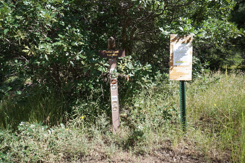
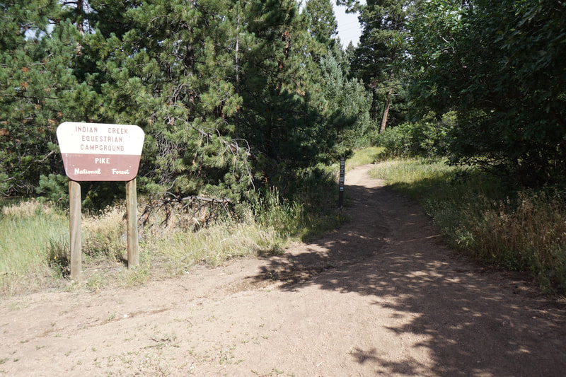
Directions: From Sedalia, follow Jarre Canyon Road (67) west. After the enter Pike National Forest, drive past the turnoff for Rampart Range Road, continuing on 67 for a few minutes more. The large Indian Creek Campground will be on your right. The trailhead is located across from the restrooms at the gate for the campground.
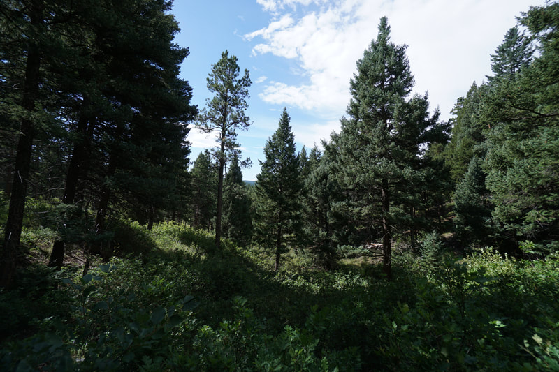
Peak 8,055 is the high point of the Ringtail Trail, a 7+ mile (one way) trail connecting the Indian Creek Trail in Pike National Forest to the Swallowtail Trail in Douglas County's Nelson Ranch Open Space. The Peak itself is densely forested and has, unfortunately, no views. However, the hike up along the Indian Creek Trail and the westernmost portion of the Ring Tail Trail, is peaceful and enjoyable all year round.
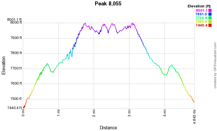
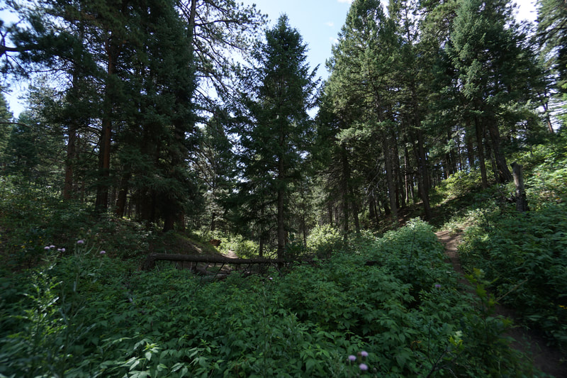
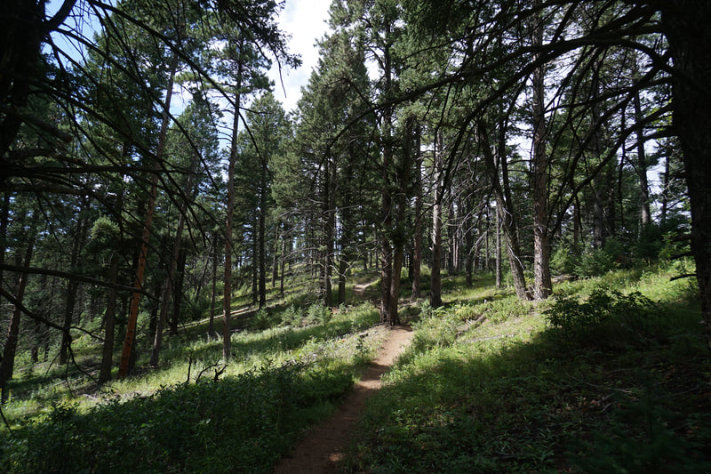
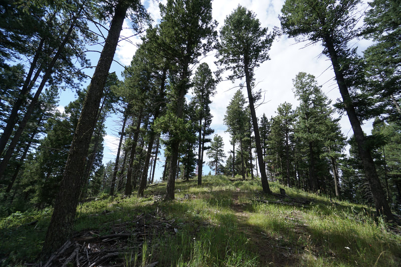
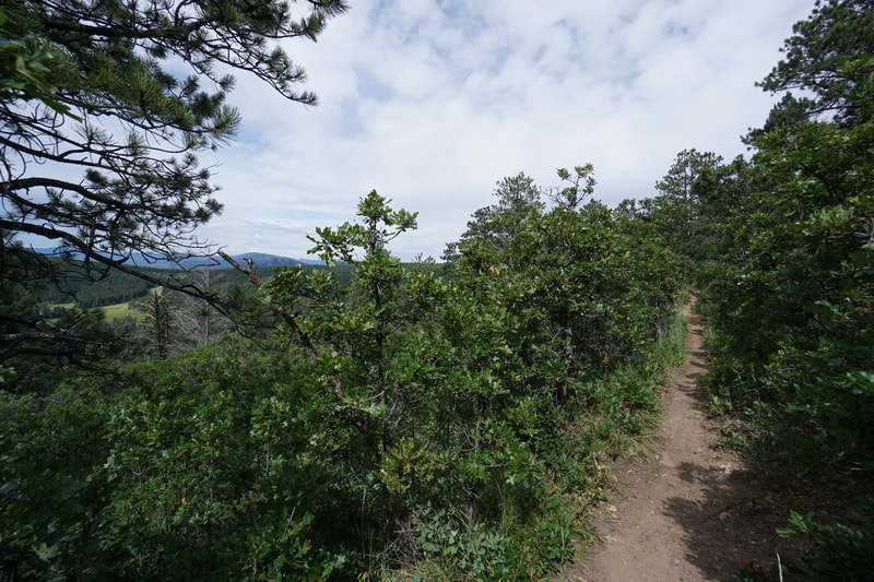
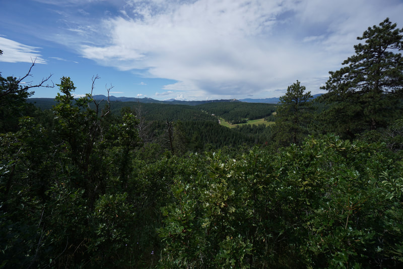
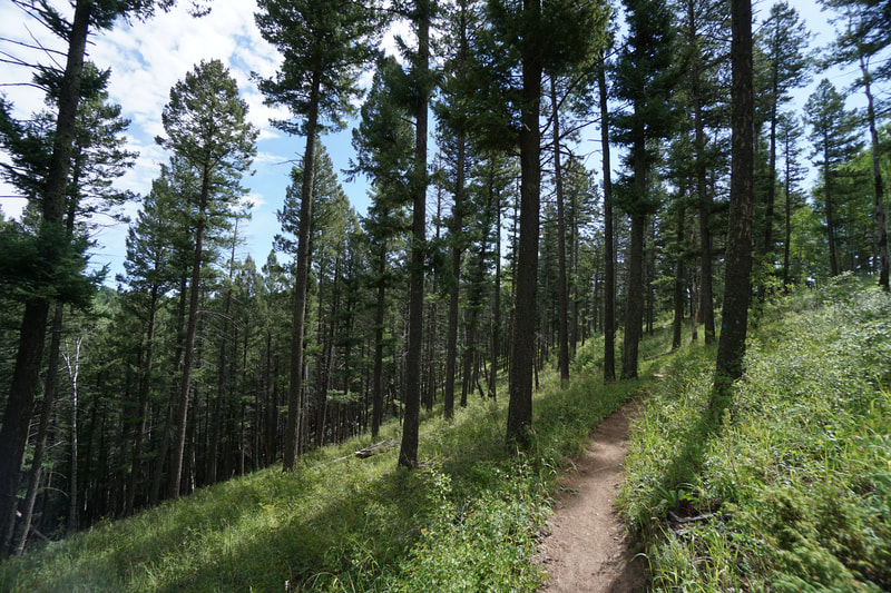
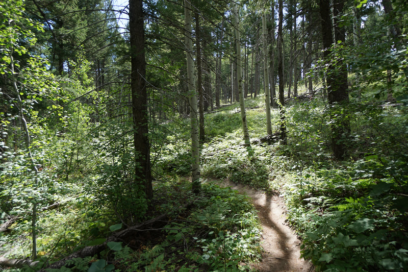
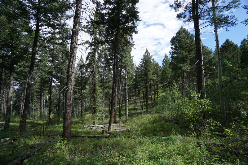
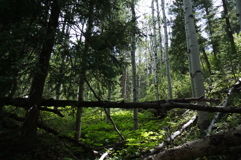
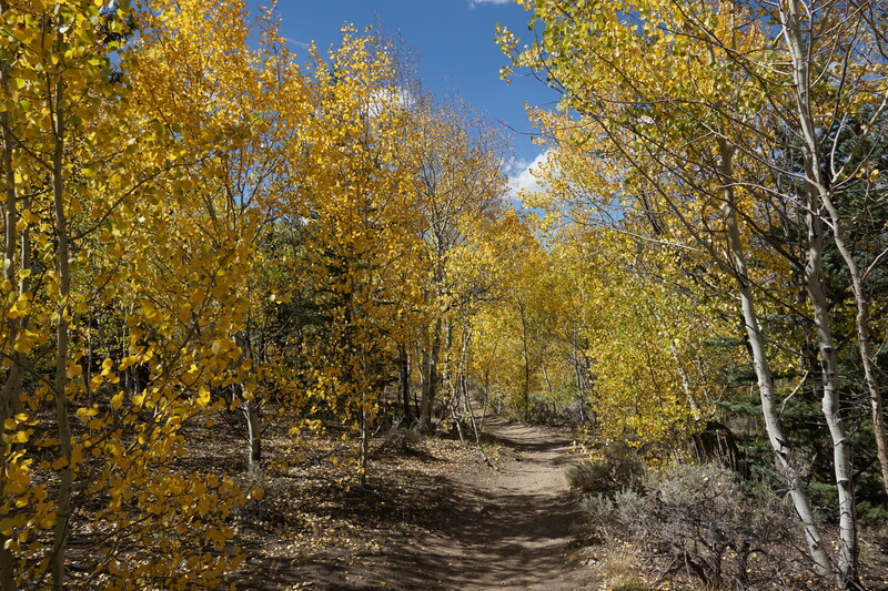
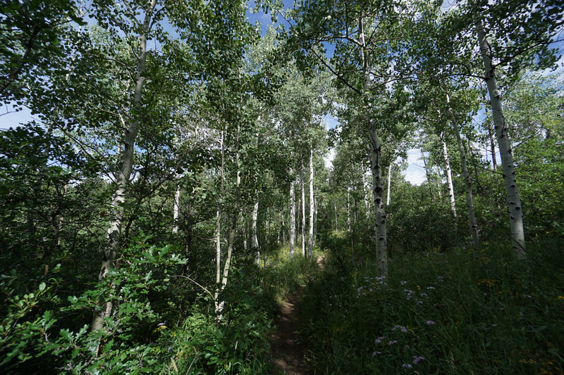
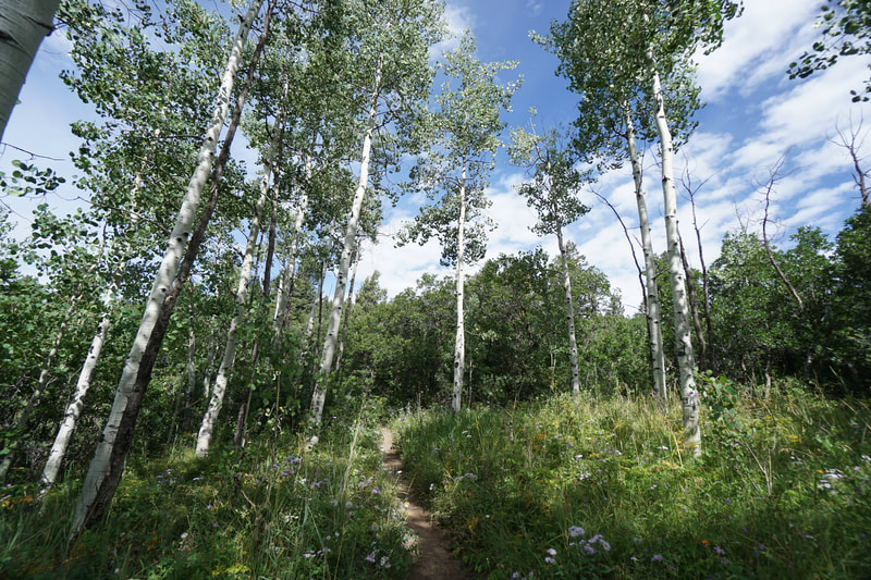
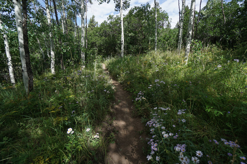
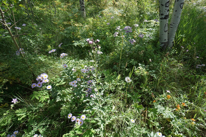
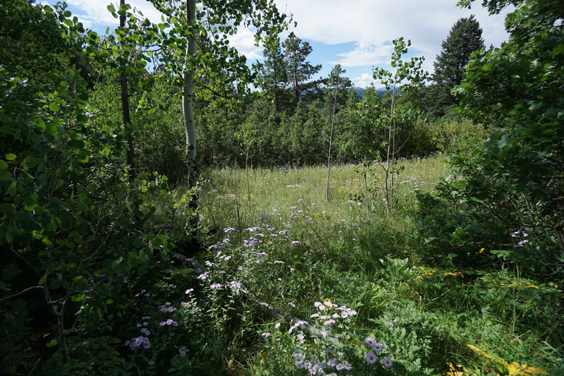
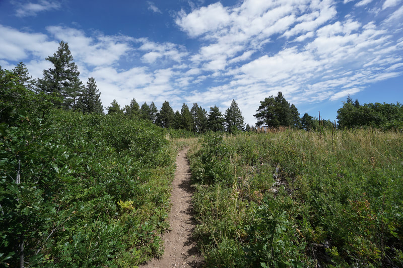
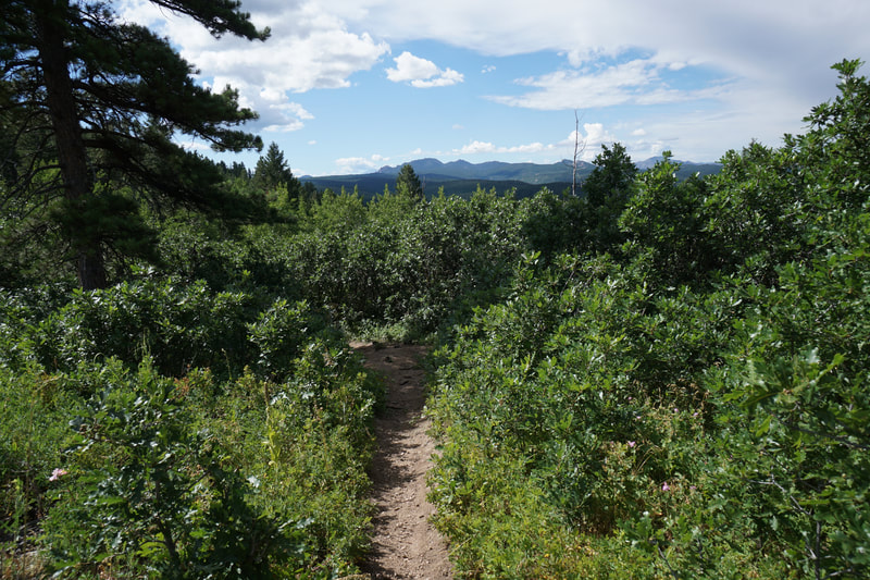
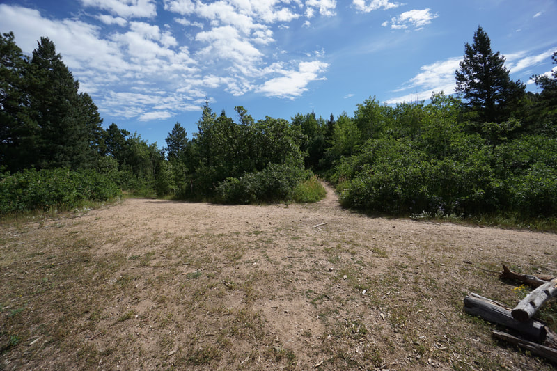
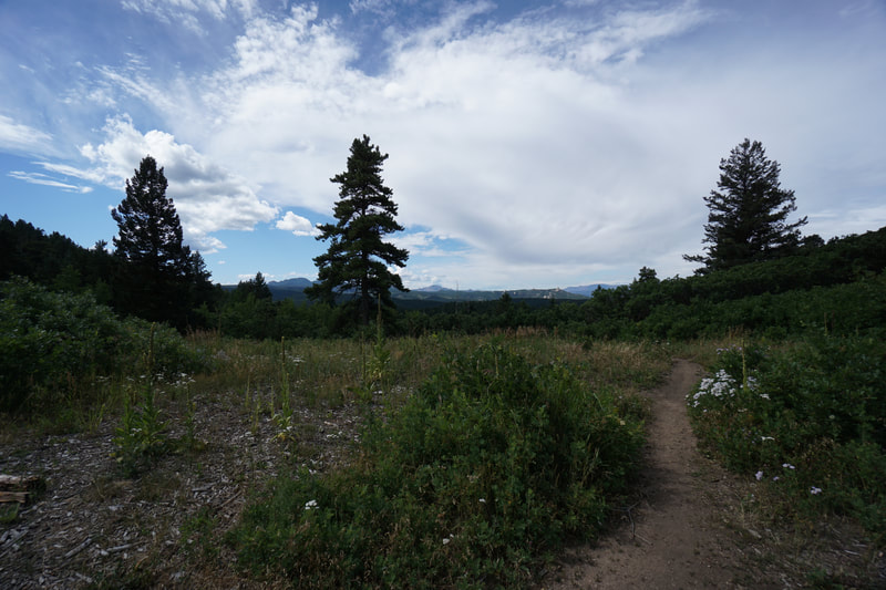
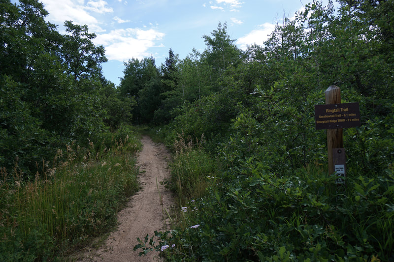
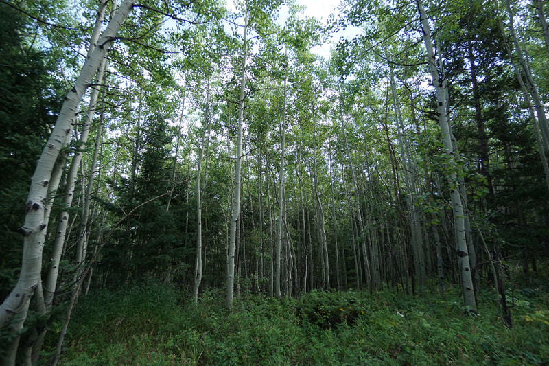
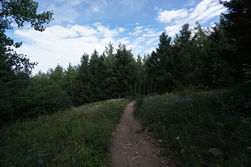
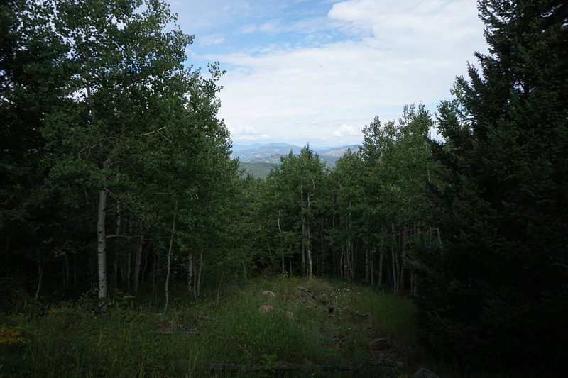
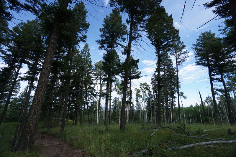
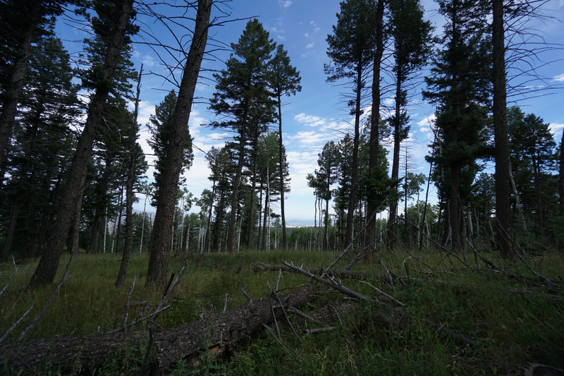
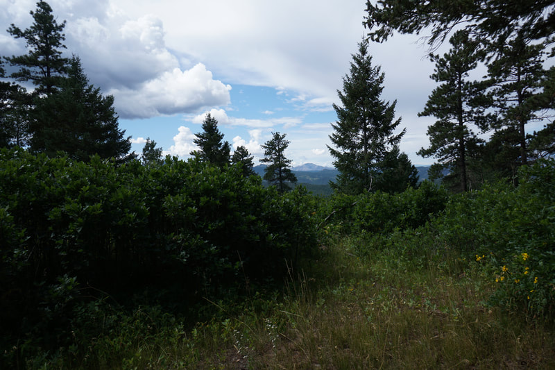
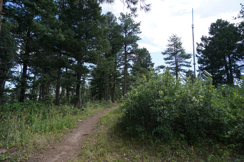
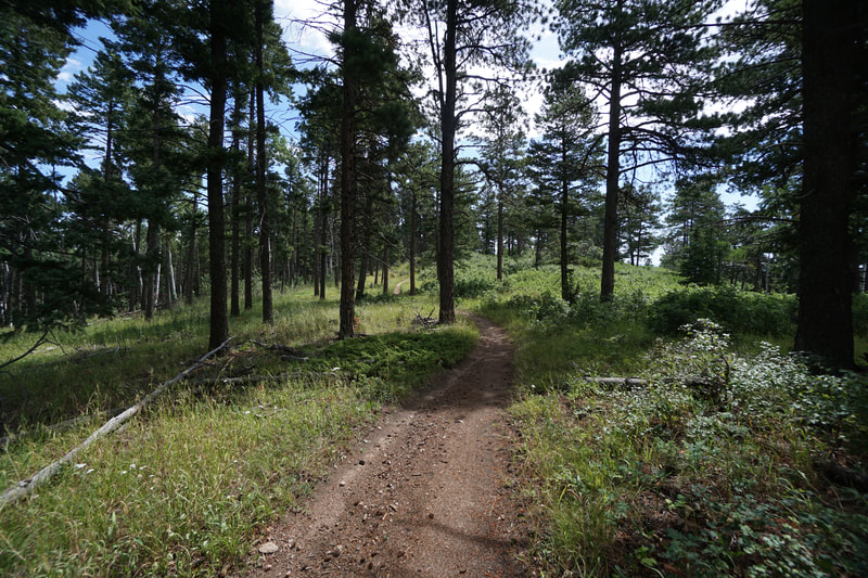
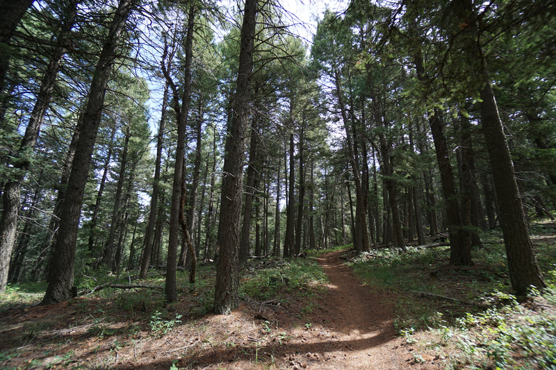
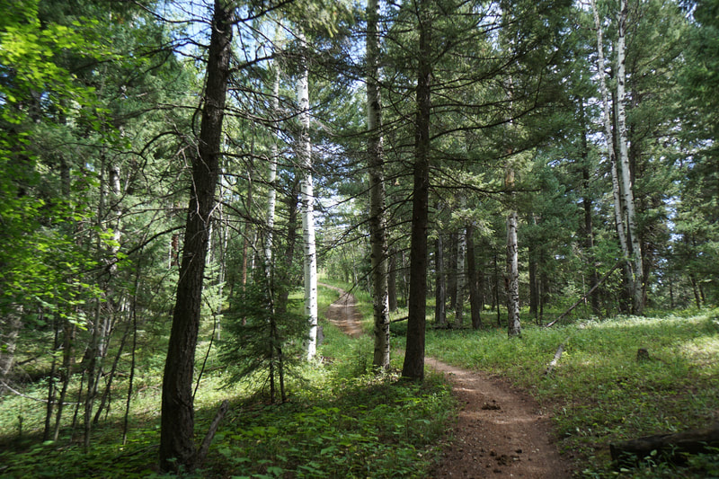
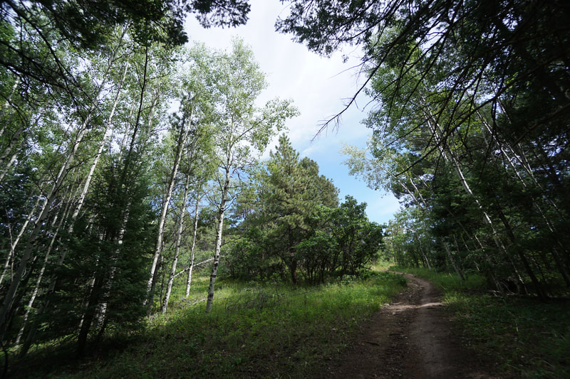
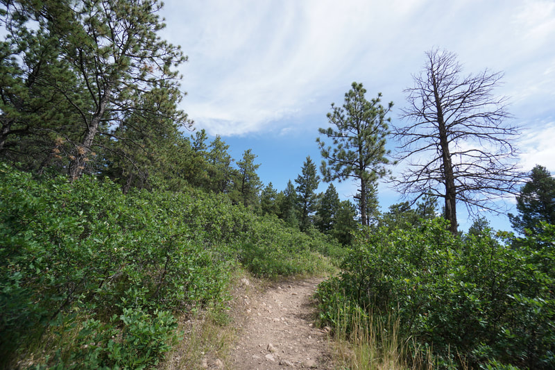
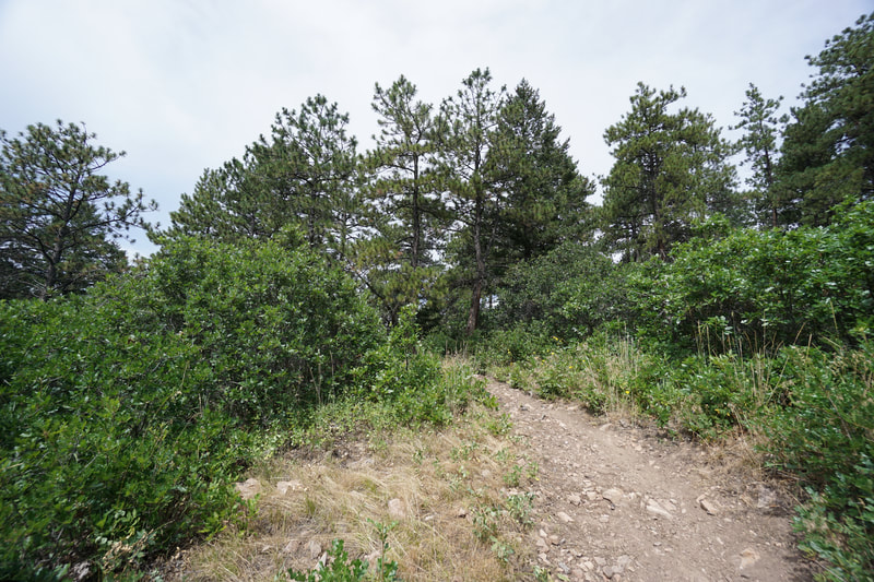
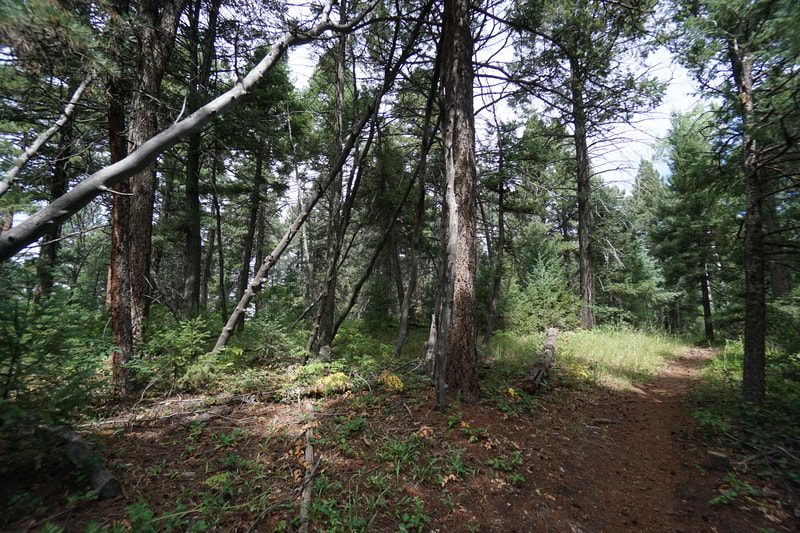
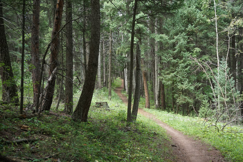
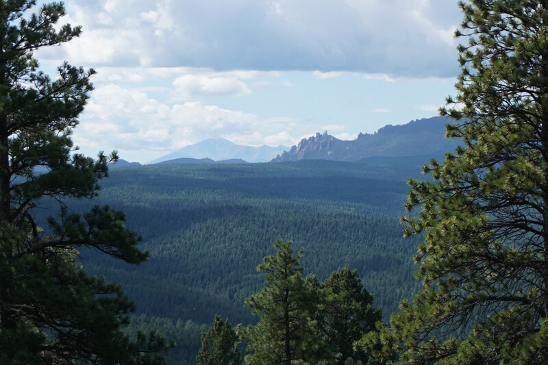
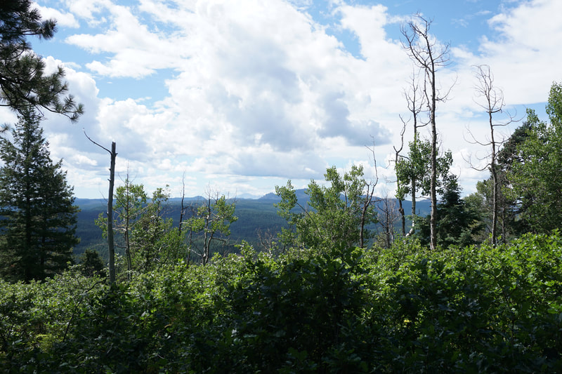
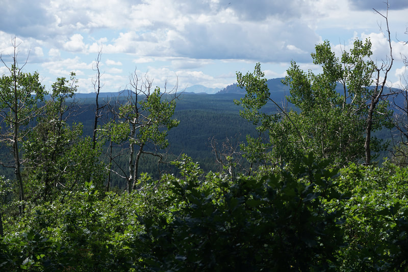
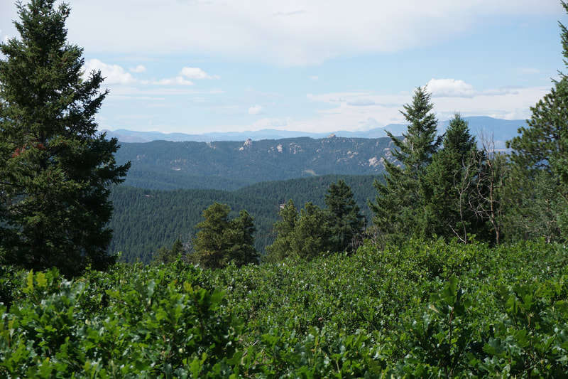
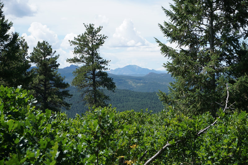
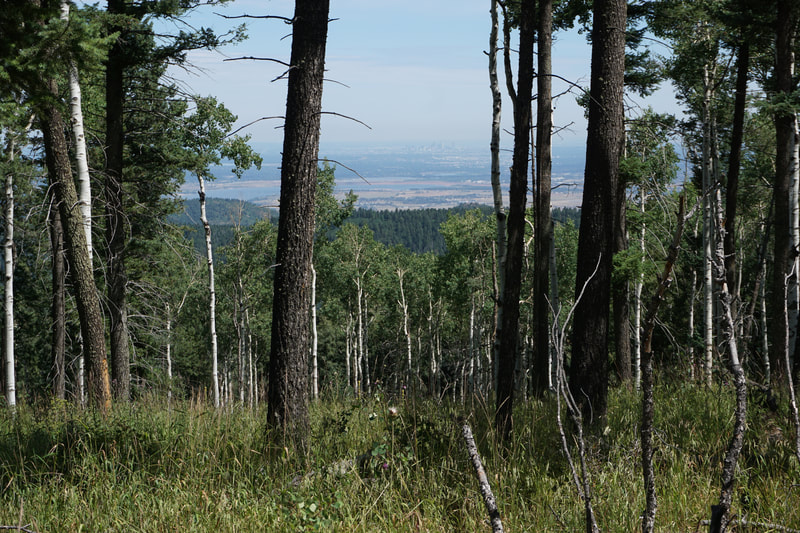
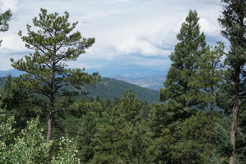
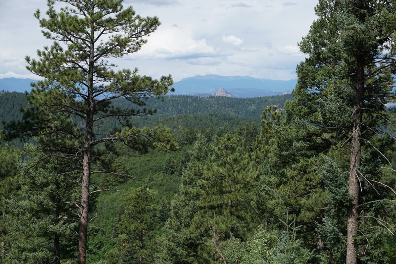
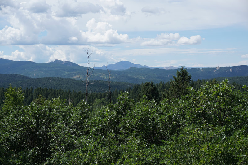
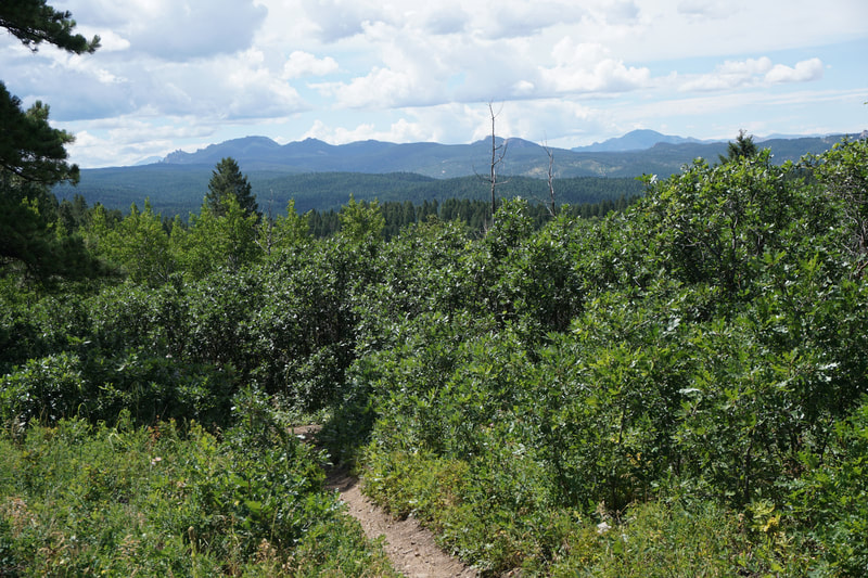
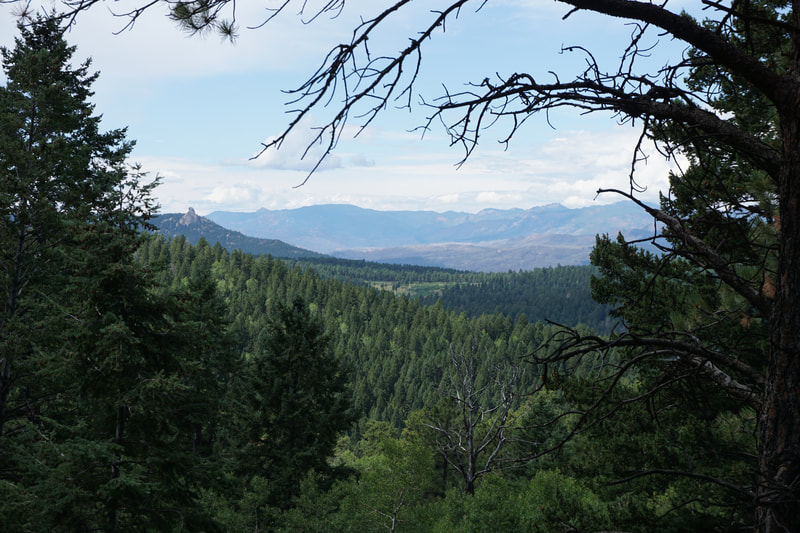
From the Indian Creek Campground Trailhead (next to the restrooms, not the fee payment kiosk) the trail weaves through pine and aspen forest until it gains a ridge. At this point the vegetation becomes lush and the views to the west open up. On a clear day, the views of the Rampart Range, the South Platte River Valley, and the Tarryall Mountains of the Lost Creek Wilderness in the distance are phenomenal. You'll get nice views of iconic Southern Front Range rock formations and peaks such as Devil's Head; the Noodle Heads; Long Scraggy Peak; Raleigh Peak; Bison Peak; and even Rosalie Peak and Mt. Evans to the North. After you've hiked an enjoyable 1.5 miles, you'll reach a four way intersection. Be sure to stay straight and look for the trail sign for the Ringtail Trail. Turning right at this junction and heading downhill will eventually return you to the Campground parking area. Heading up the Ringtail Trail, you'll pass through more aspen forest (should be beautiful in the fall) until you reach the first summit of this hike, look for the antenna. This summit actually has better views than Peak 8,055 and be sure to look for the nice view of Devil's Head with Pikes Peak peaking out behind it. Head downhill slightly through pine forest and skirt to the left of a small hill before starting the grueling climb to Peak 8,055 (I'm being sarcastic of course...). Climb slightly to the summit of Peak 8,055 and you'll know you are there when you start to descend again. This forested, uneventful, and anticlimactic peak marks the turnaround point for this hike. The Ringtail trail continues for many miles down to Nelson Ranch so you can hike as far as you want but after the summit, it's all down hill. Return to the trail head the same way you came, or turn at the junction to make a semi-loop. This hike is all about the journey rather than the destination. It's not the most stunning hike in the Southern Front Range but it is scenic and quiet and should be spectacular in the fall. This area is well worth your time to explore and the relatively low elevation makes this hike doable in any season. |
- HOME
- ABOUT
-
HIKES BY REGION
-
NATIONAL PARK HIKES
- BENT'S OLD FORT NATIONAL HISTORIC SITE
- BLACK CANYON OF THE GUNNISON NATIONAL PARK
- COLORADO NATIONAL MONUMENT
- CURECANTI NATIONAL RECREATION AREA
- DINOSAUR NATIONAL MONUMENT
- FLORISSANT FOSSIL BEDS NATIONAL MONUMENT
- MESA VERDE NATIONAL PARK
- ROCKY MOUNTAIN NATIONAL PARK
- GREAT SAND DUNES NATIONAL PARK
- HOVENWEEP NATIONAL MONUMENT
- SAND CREEK MASSACRE NATIONAL HISTORIC SITE
- YUCCA HOUSE NATIONAL MONUMENT
- HIKES BY CATEGORY
- NEWS
- WEBCAMS
- $UPPORT GHC
- INTERACTIVE MAP
Indian Creek & Ringtail Trails to Peak 8,055
Pike National Forest
Date Hiked: August 11, 2019
Distance: 4.8 mi (RT)
Elevation Gain: 900 ft
Elevation Min/Max: 7,440 to 8,055ft
Trailhead Lat/Long: 39º 22' 45" N; 105º 06' 03" W
Managing Agency: U.S. Forest Service
Fee: Yes, $7 parking fee

