GO HIKE COLORADO
Get in Touch:
  • HOME
  • ABOUT
  • HIKES BY REGION
    • DENVER AREA >
      • Denver Mountain Parks
      • Jefferson County Open Space
      • Lakewood Parks
      • Denver Area Greenways
    • BOULDER AREA
    • DOUGLAS COUNTY
    • FORT COLLINS AREA
    • COLORADO SPRINGS AREA
    • FRONT RANGE
    • TENMILE & MOSQUITO RANGES
    • GORE RANGE
    • SANGRE DE CRISTO MOUNTAINS
    • PARK RANGE
    • SAWATCH RANGE
    • ELK MOUNTAINS
    • SAN JUAN MOUNTAINS
    • THE FLAT TOPS
    • GRAND MESA
    • COLORADO PLATEAU
    • EASTERN PLAINS
  • NATIONAL PARK HIKES
    • BENT'S OLD FORT NATIONAL HISTORIC SITE
    • BLACK CANYON OF THE GUNNISON NATIONAL PARK
    • COLORADO NATIONAL MONUMENT
    • CURECANTI NATIONAL RECREATION AREA
    • DINOSAUR NATIONAL MONUMENT
    • FLORISSANT FOSSIL BEDS NATIONAL MONUMENT
    • MESA VERDE NATIONAL PARK
    • ROCKY MOUNTAIN NATIONAL PARK
    • GREAT SAND DUNES NATIONAL PARK
    • HOVENWEEP NATIONAL MONUMENT
    • SAND CREEK MASSACRE NATIONAL HISTORIC SITE
    • YUCCA HOUSE NATIONAL MONUMENT
  • HIKES BY CATEGORY
    • HIKES TO ALPINE LAKES
    • HIKES TO PEAKS & PASSES
    • HIKES THROUGH CANYONS
    • HIKES WITH FALL COLORS
    • HIKES ALONG THE I-70 CORRIDOR
    • HIKES ON PAVED TRAILS
    • HIKES FOR KIDS
    • HIKES TO WATERFALLS
    • HIKES ALONG RIVERS
    • HIKES WITH ROCK FORMATIONS
    • HIKES WITH WILDFLOWERS
    • WINTER HIKES
  • NEWS
  • WEBCAMS
  • $UPPORT GHC
  • INTERACTIVE MAP

Bear Creek Cutoff > Eastern Ridge
​O'Fallon Park

Date Hiked: August 19, 2016

Distance: 4 mi (RT)
Elevation Gain: 800 ft
Elevation Min/Max: 6,704 to 7,300 ft
Trailhead Lat/Long: 39º 39' 16" N; 105º 17' 17" W
Managing Agency: Denver Mountain Parks
​Fee: None

O'Fallon Park Map
Picture

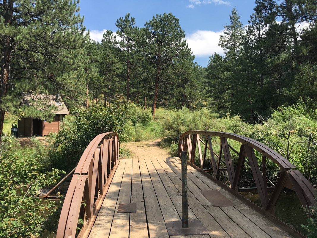
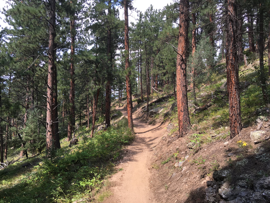
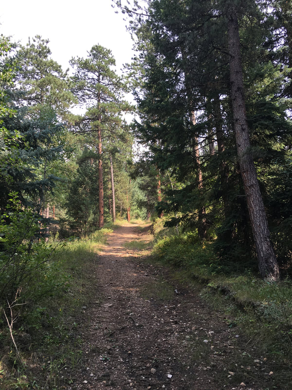
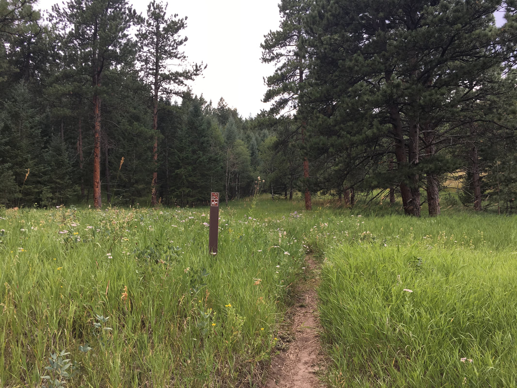
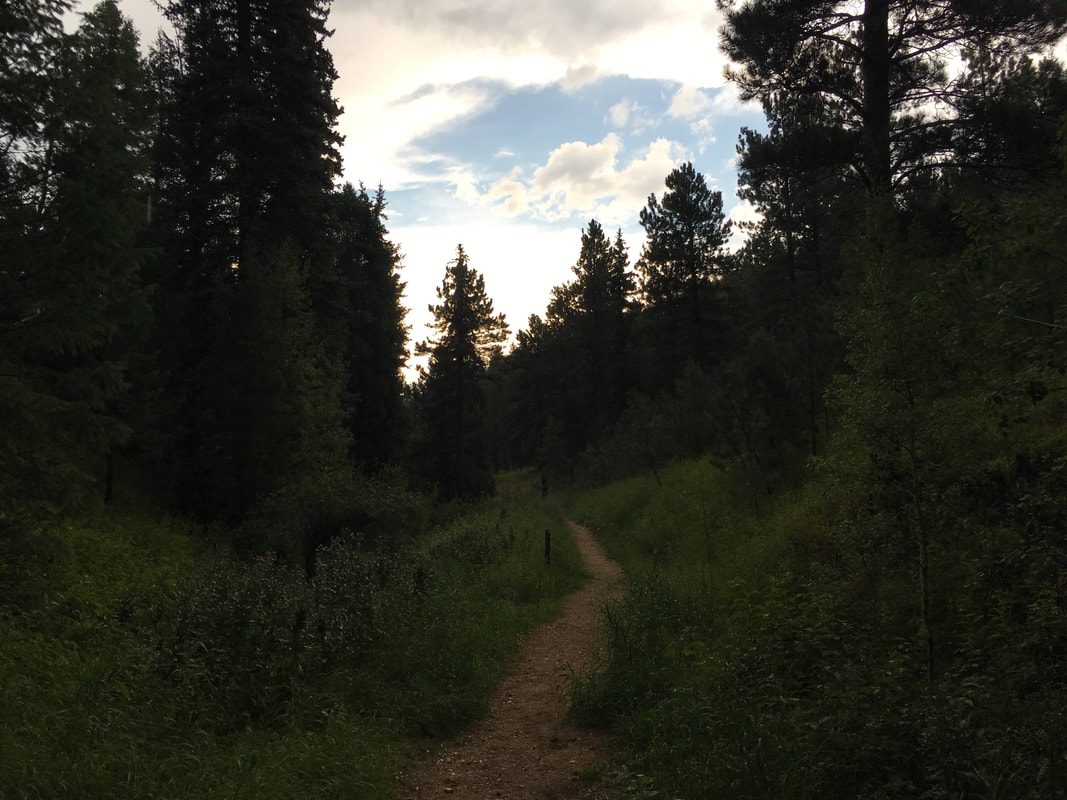
Directions:  From Morrison, continue west on Route 74 (Bear Creek Rd) through the town of Idledale and past Lair of the Bear Park.  Turn left (south) into the 1st parking are for O'Fallon Park.  At the south end of the parking lot is a gate.  The hike starts here.

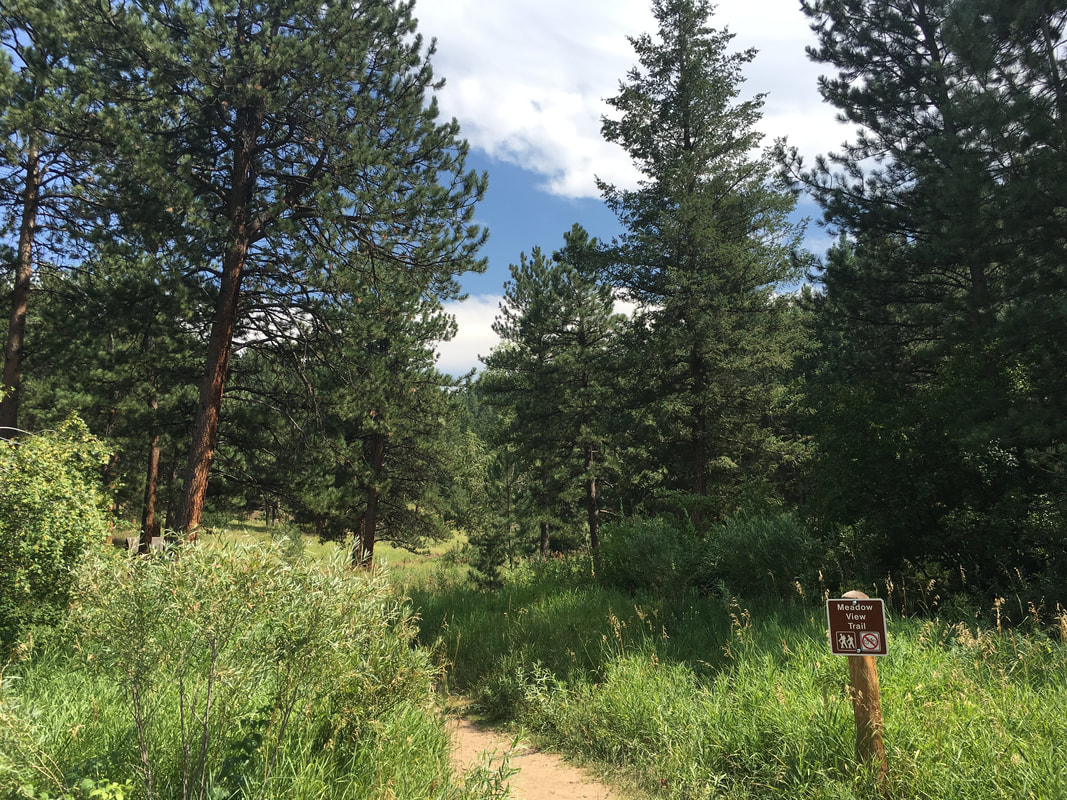
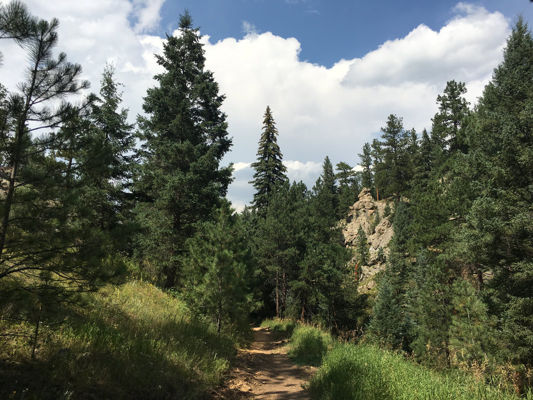
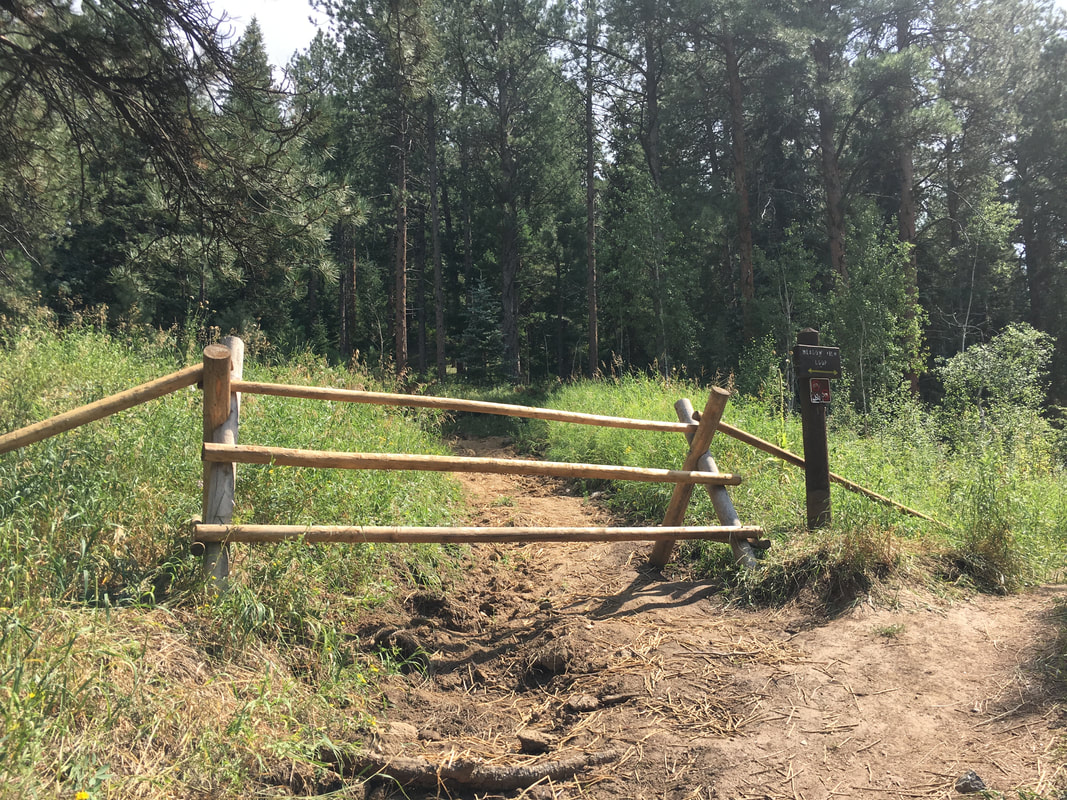
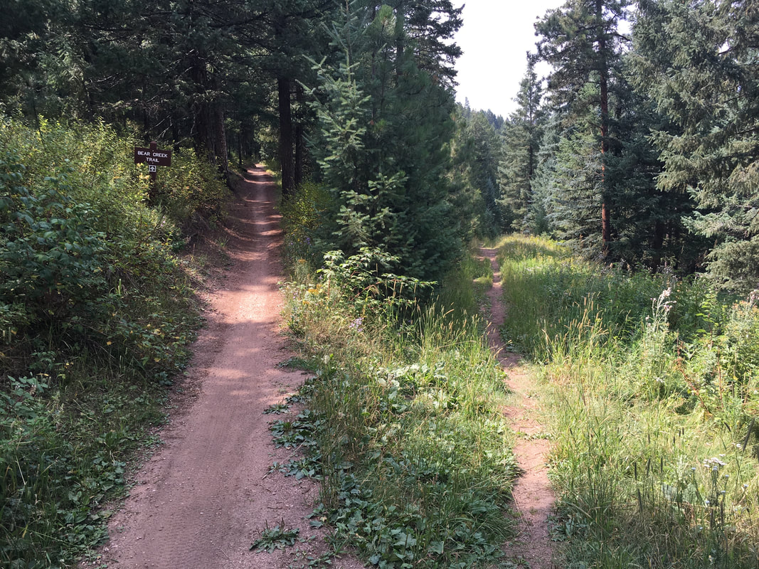
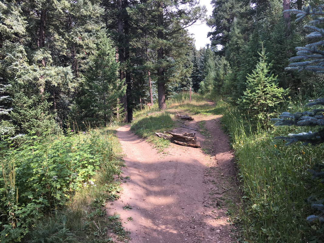
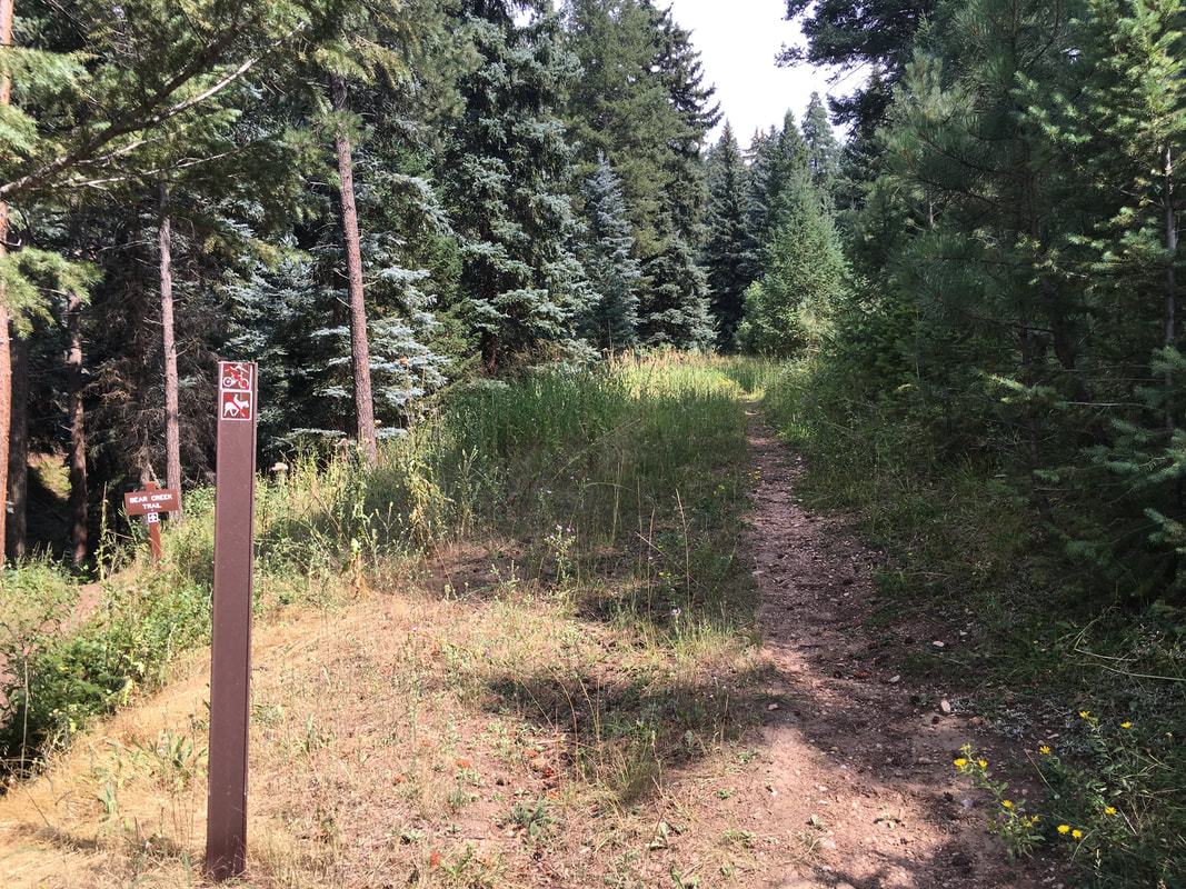
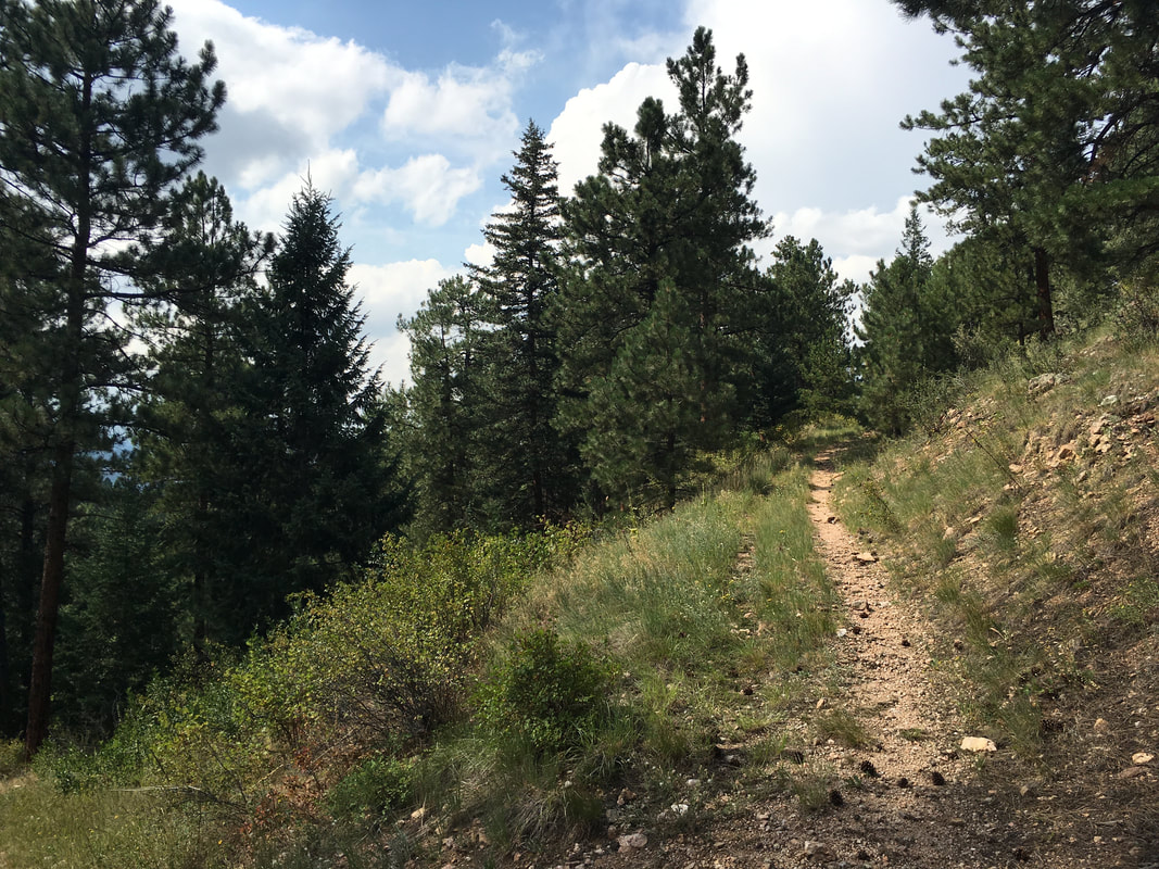
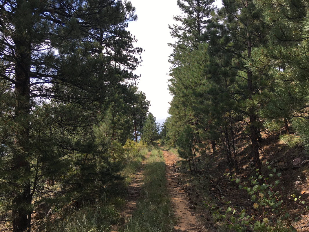
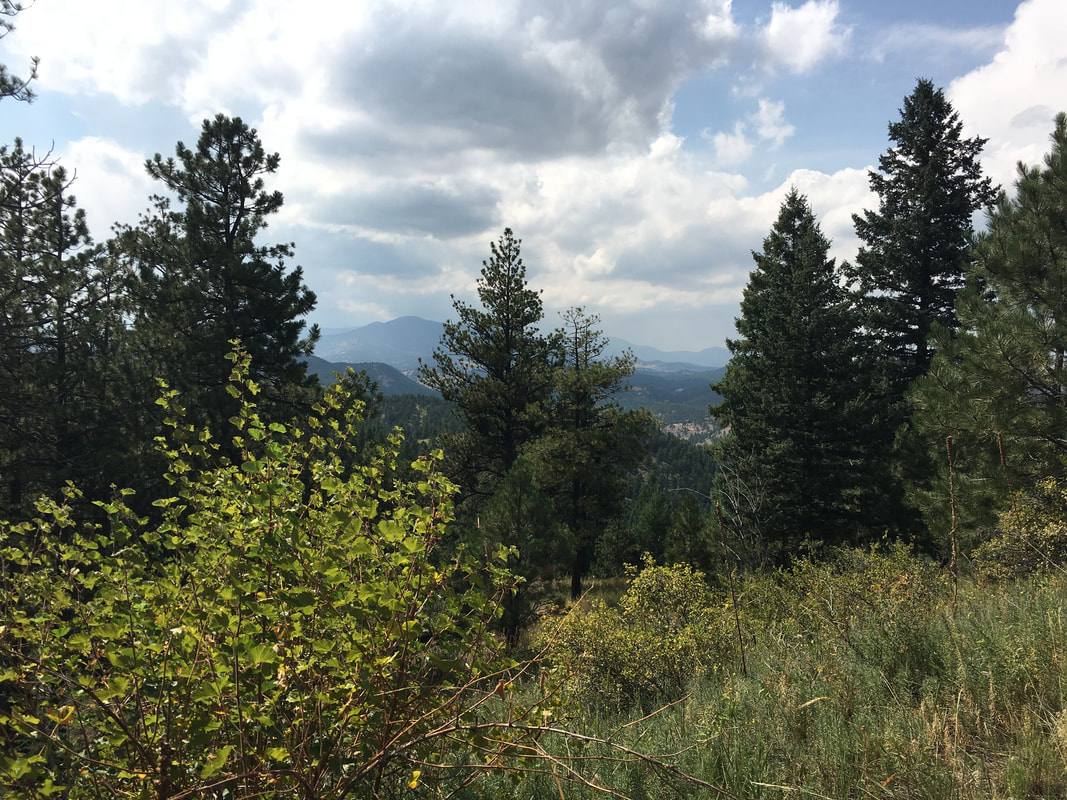
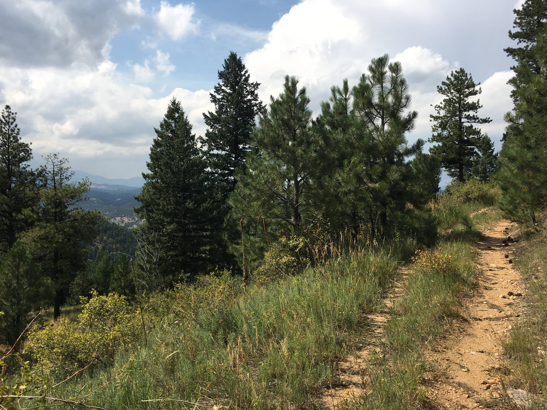
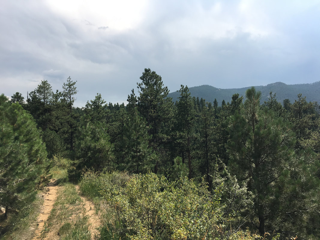
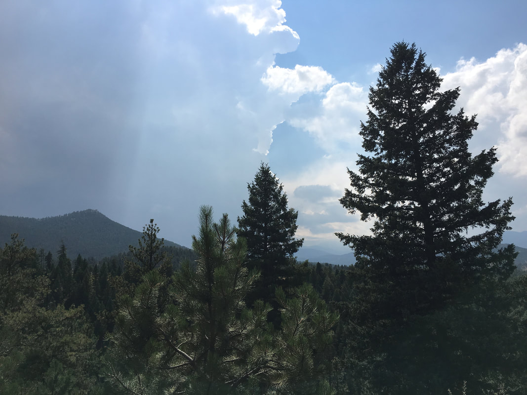
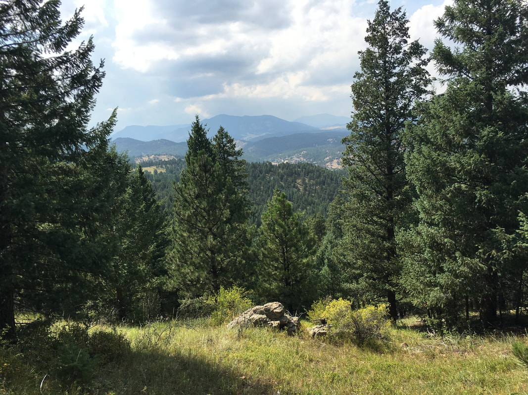
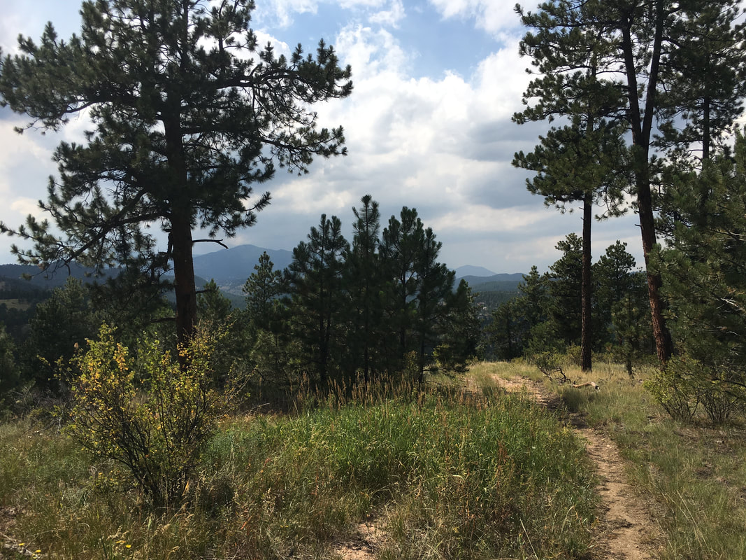
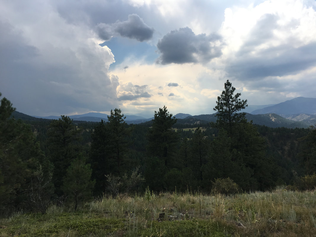
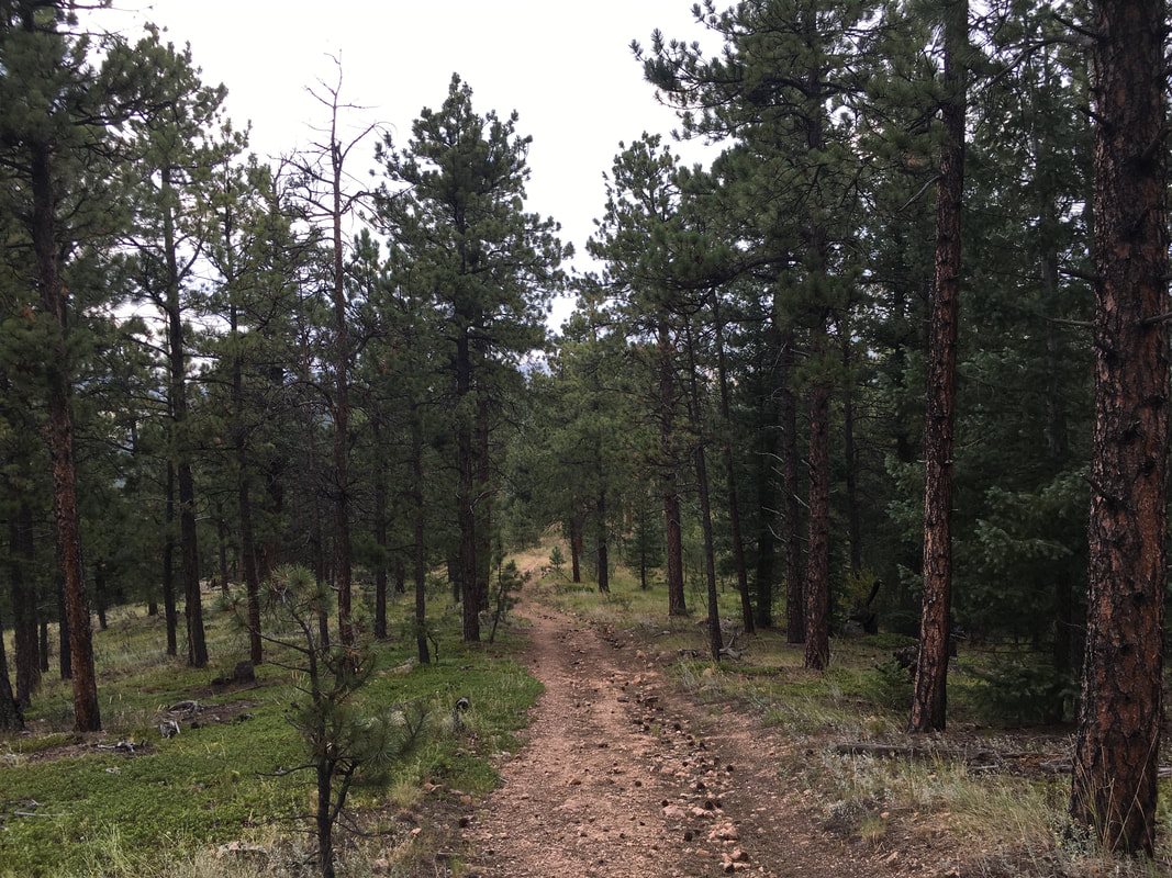
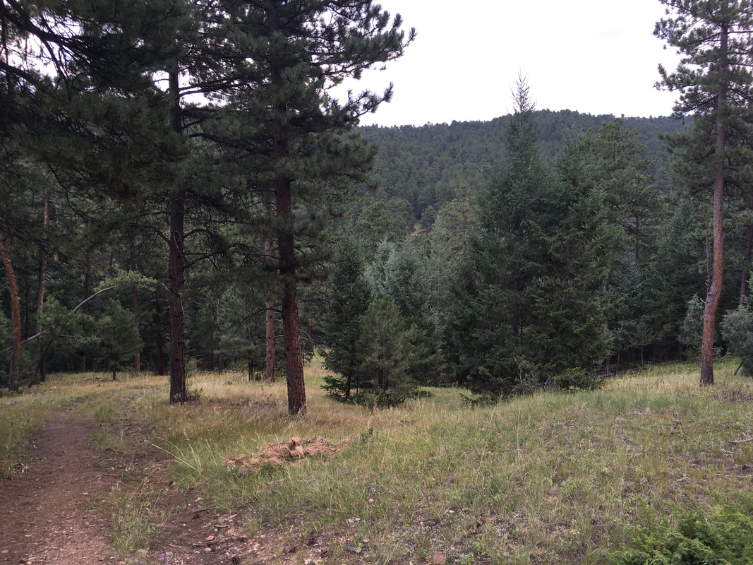
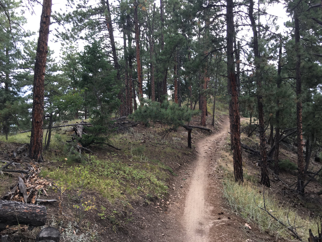
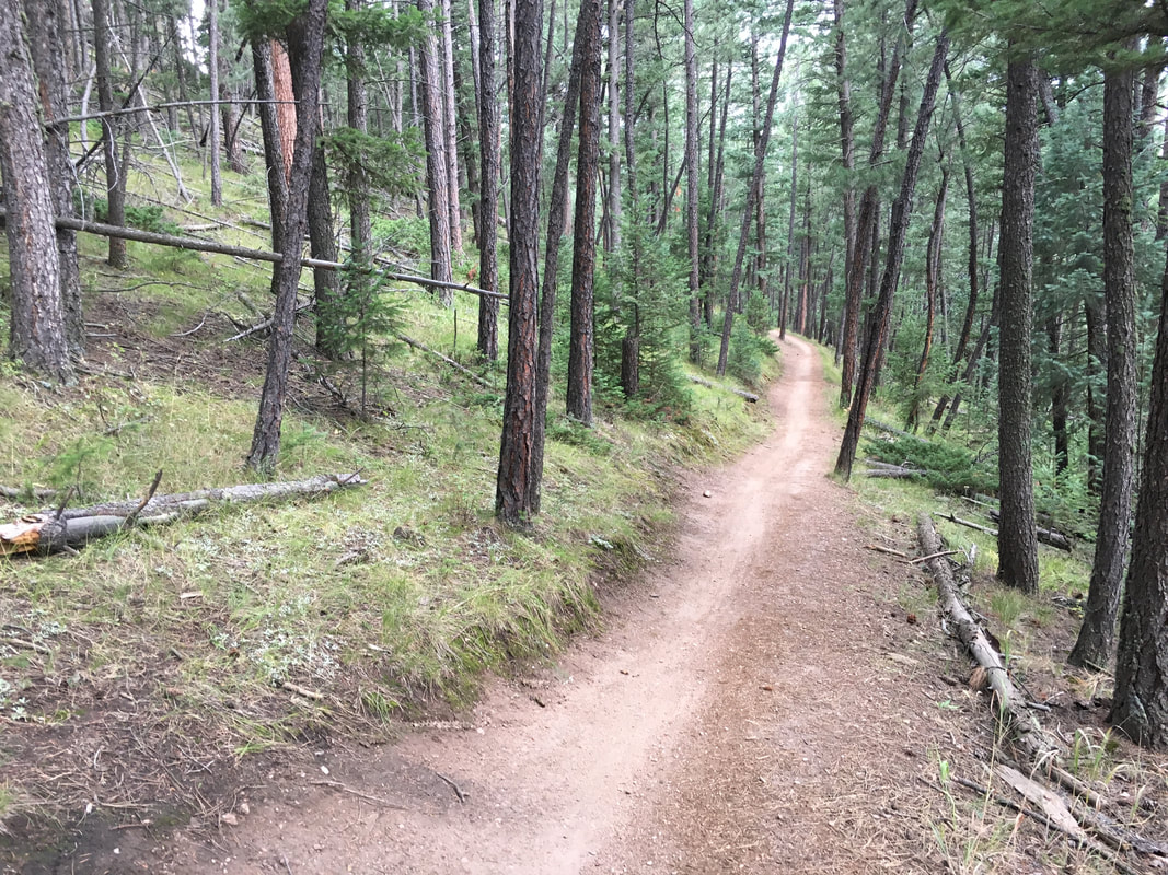
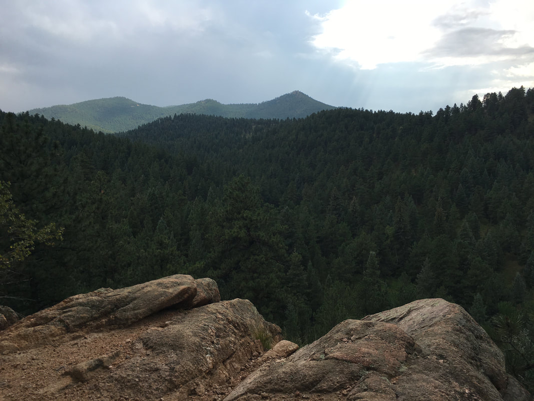
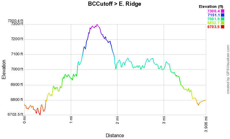
Note, the Eastern Ridge portion of this trail may not be officially open to the public.  At the time that I hiked this trail back in 2016, it I was very confusing.  First of all, the "Bear Creek Cutoff Trail" as named on the online official maps is still signed as the "Meadowview Trail."  However, the main source of confusion was that I was attempting to hike to "the Vista", a hike that I had done many times, and my favorite hike in this area.  This time, however, the trail leading up to the Vista from the BCT Junction was more overgrown than usual and a small log seemed to maybe be closing it off...not clear either way...there was still a small trail sign that said no biking or horses, implying that hiking was still allowed.

I hiked up the steep gully and at the top instead of turning right (west) towards the signed Vista viewpoint, I turned left (east) to explore the double track (old road) trail heading in the other direction.  I was surprised to find that the trail continued along a wonderful ridge, with terrific views until it descended off the eastern slope of the ridge and connected with the Bear Creek Trail again.  No closed or private property signs and at the point where this trail intersected the BCT, the same small trail sign that said no biking or horses, implying that hiking was still allowed.  The trail was great and I would certainly hike it again, as long as it is officially open to the public.  

A few months earlier, I hiked the West Ridge/Meadow View Loop and found that the trail leading up to the Vista from the other side, was non-existent.  It seems that Denver Mountain Parks may have closed access to the Vista for some reason.  Very disappointing... Unless the trail leading from the BCT to the Eastern Ridge is in fact open to the public, in which case the Vista is still accessible, just not from the western point.

Stay tuned as I revisit this trail in the 2018 season...


© Go Hike Colorado, 2020.  All Rights Reserved. 
Use of photographs without prior authorization is
​strictly prohibited.


Contact us at:
[email protected]
Legal Disclaimer - Information provided on this site is based upon our own observations, always double check information with the appropriate land management agency before heading into the backcountry.  Backcountry travel is inherently dangerous, please take all proper precautions.  Go Hike Colorado is not responsible for injury or incident.