GO HIKE COLORADO
Get in Touch:
  • HOME
  • ABOUT
  • HIKES BY REGION
    • DENVER AREA >
      • Denver Mountain Parks
      • Jefferson County Open Space
      • Lakewood Parks
      • Denver Area Greenways
    • BOULDER AREA
    • DOUGLAS COUNTY
    • FORT COLLINS AREA
    • COLORADO SPRINGS AREA
    • FRONT RANGE
    • TENMILE & MOSQUITO RANGES
    • GORE RANGE
    • SANGRE DE CRISTO MOUNTAINS
    • PARK RANGE
    • SAWATCH RANGE
    • ELK MOUNTAINS
    • SAN JUAN MOUNTAINS
    • THE FLAT TOPS
    • GRAND MESA
    • COLORADO PLATEAU
    • EASTERN PLAINS
  • NATIONAL PARK HIKES
    • BENT'S OLD FORT NATIONAL HISTORIC SITE
    • BLACK CANYON OF THE GUNNISON NATIONAL PARK
    • COLORADO NATIONAL MONUMENT
    • CURECANTI NATIONAL RECREATION AREA
    • DINOSAUR NATIONAL MONUMENT
    • FLORISSANT FOSSIL BEDS NATIONAL MONUMENT
    • MESA VERDE NATIONAL PARK
    • ROCKY MOUNTAIN NATIONAL PARK
    • GREAT SAND DUNES NATIONAL PARK
    • HOVENWEEP NATIONAL MONUMENT
    • SAND CREEK MASSACRE NATIONAL HISTORIC SITE
    • YUCCA HOUSE NATIONAL MONUMENT
  • HIKES BY CATEGORY
    • HIKES TO ALPINE LAKES
    • HIKES TO PEAKS & PASSES
    • HIKES THROUGH CANYONS
    • HIKES WITH FALL COLORS
    • HIKES ALONG THE I-70 CORRIDOR
    • HIKES ON PAVED TRAILS
    • HIKES FOR KIDS
    • HIKES TO WATERFALLS
    • HIKES ALONG RIVERS
    • HIKES WITH ROCK FORMATIONS
    • HIKES WITH WILDFLOWERS
    • WINTER HIKES
  • NEWS
  • WEBCAMS
  • $UPPORT GHC
  • INTERACTIVE MAP

The Vista (Bear Creek Trail > Meadow View)
O'Fallon Park

NOTE (7/27/2016): DUE TO RECENT CONSTRUCTION DISTANCE & ELEVATION GAIN MAY NOT BE ACCURATE AND/OR TRAILS MAY NO LONGER BE OPEN TO THE PUBLIC - CHECK BACK FOR UPDATED TRAIL DESCRIPTION ​
Distance: 5 miles (RT)
Elevation Gain: 915ft
Elevation Min/Max: 6,997 to 7,473ft
Trailhead Lat/Long: 39º 38' 11" N; 105º 16' 46" W
Managing Agency: Denver Mountain Parks
Fee: None

O'Fallon Park Map
Picture

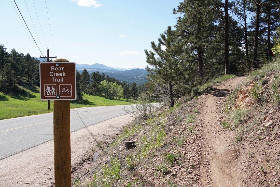
Directions:  From Denver take I 70 west to C-470 east.  Exit at the Morrison Exit and turn right onto 74 as it passes through Morrison.  Continue on 74 past Idledale and when you reach Kittredge turn left (south) onto Parmalee Gulch Road.  After a brief uphill drive, you'll see the small trailhead on the left, just before the parking are for Pence Park on the right.  You can park along the road in front of the trail sign or park at Pence and walk across the road to the trailhead.

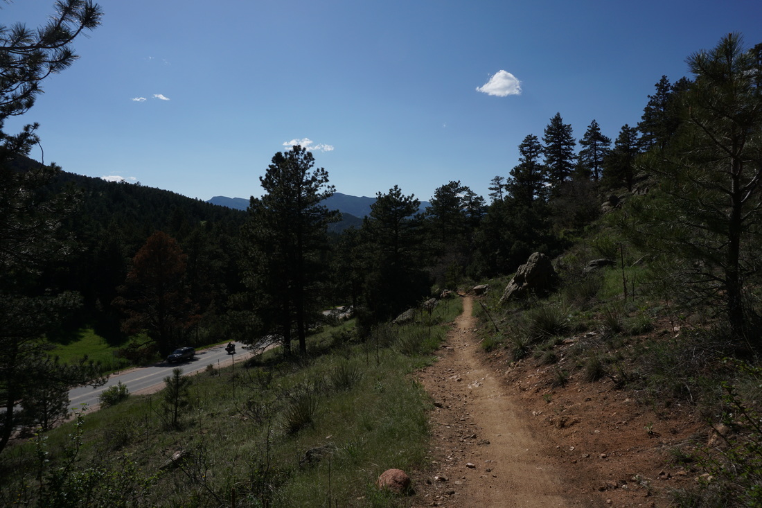
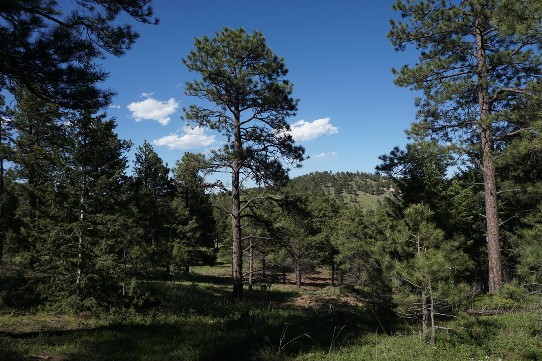
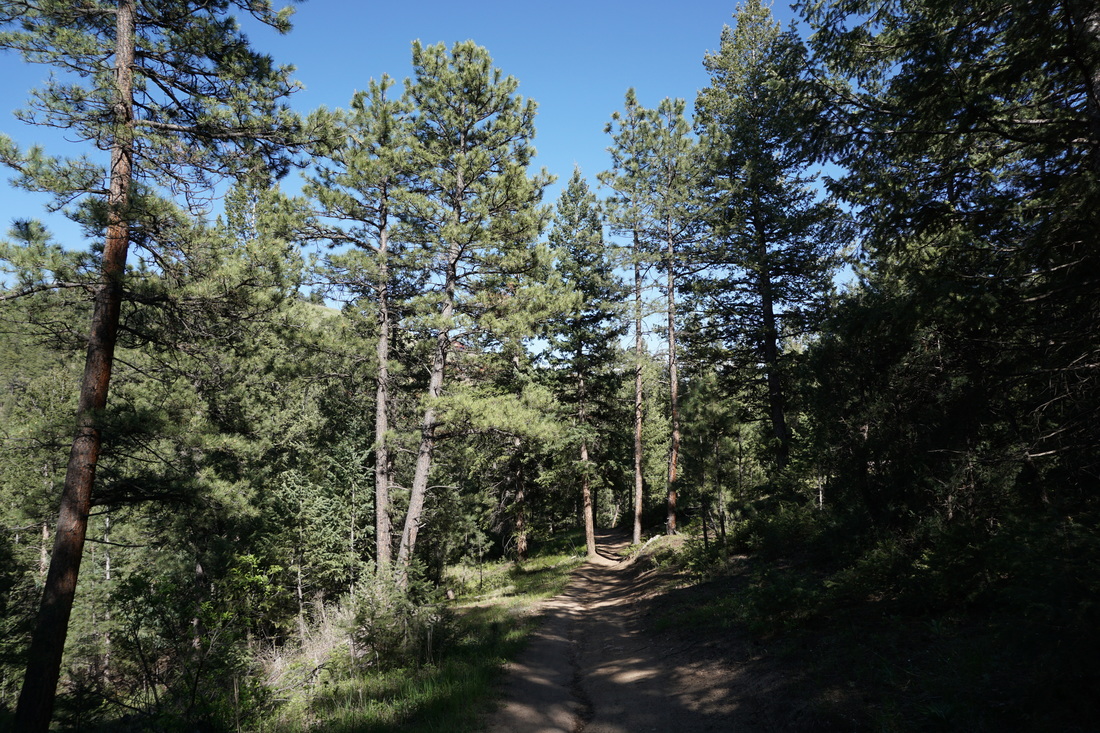
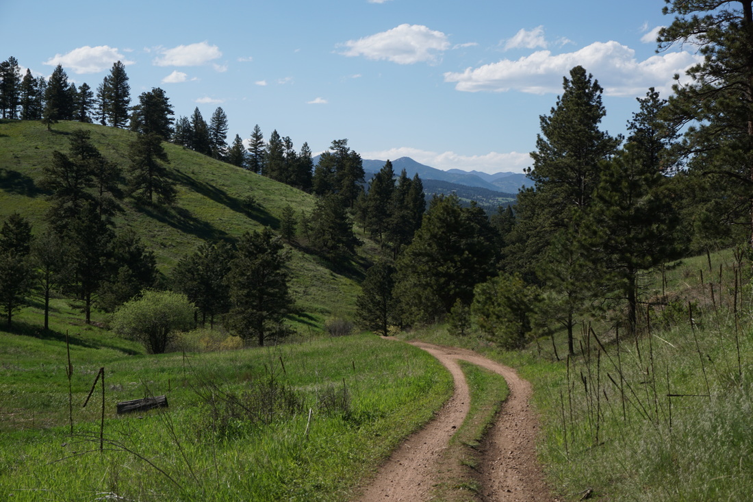
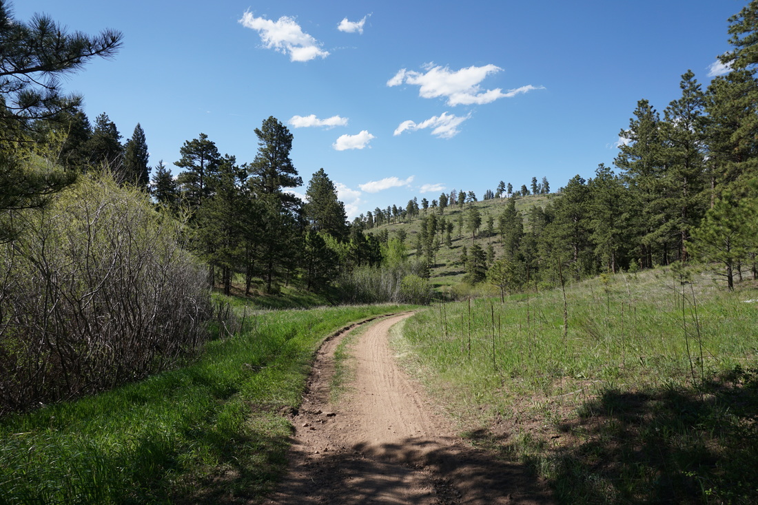
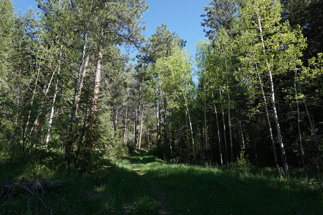
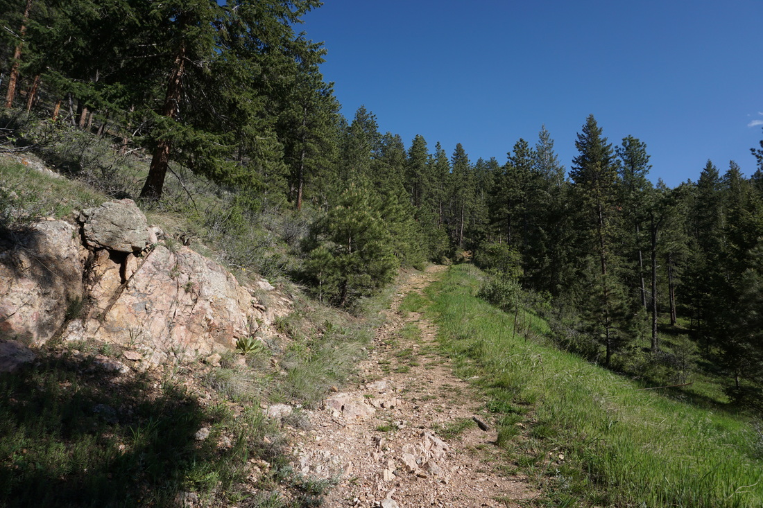
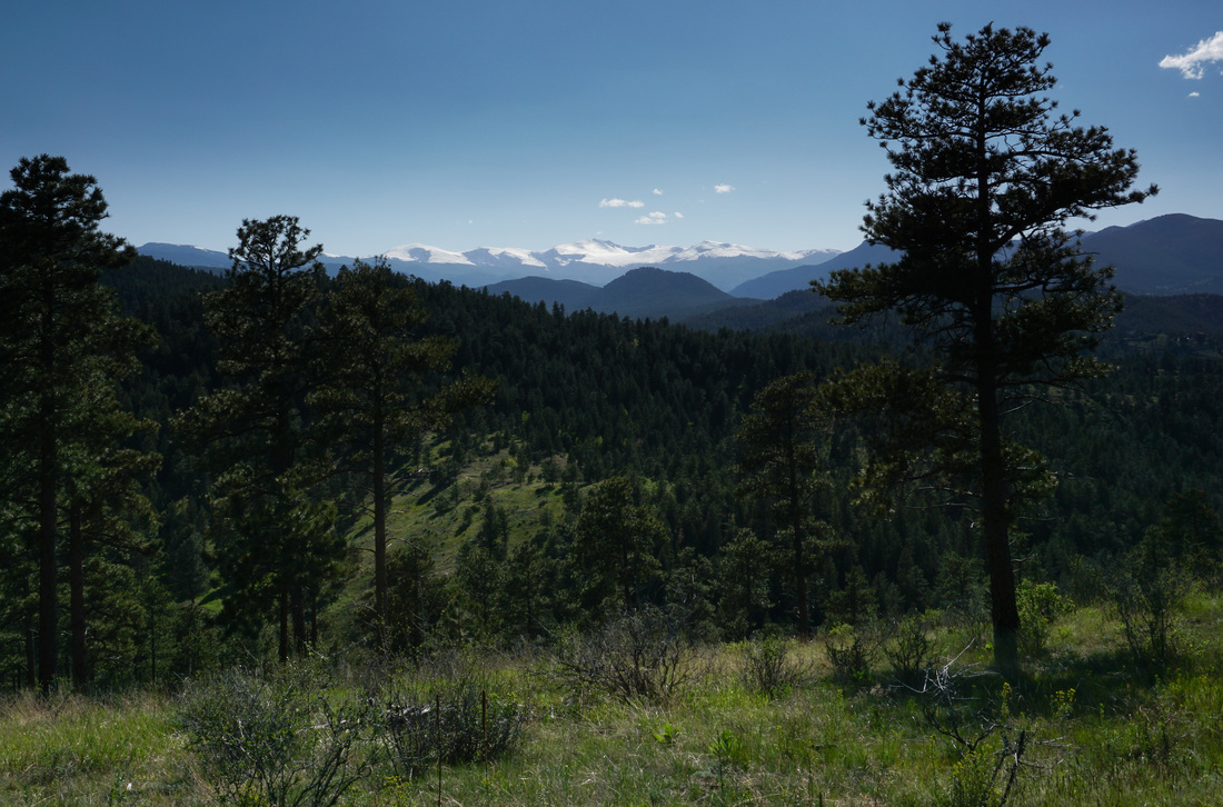
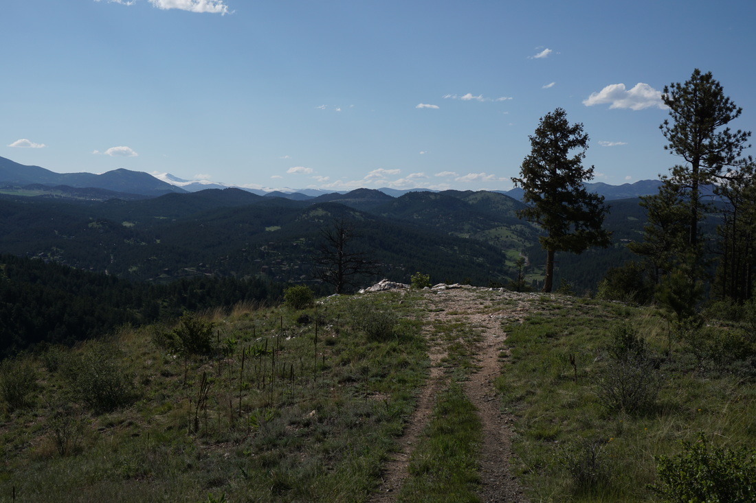
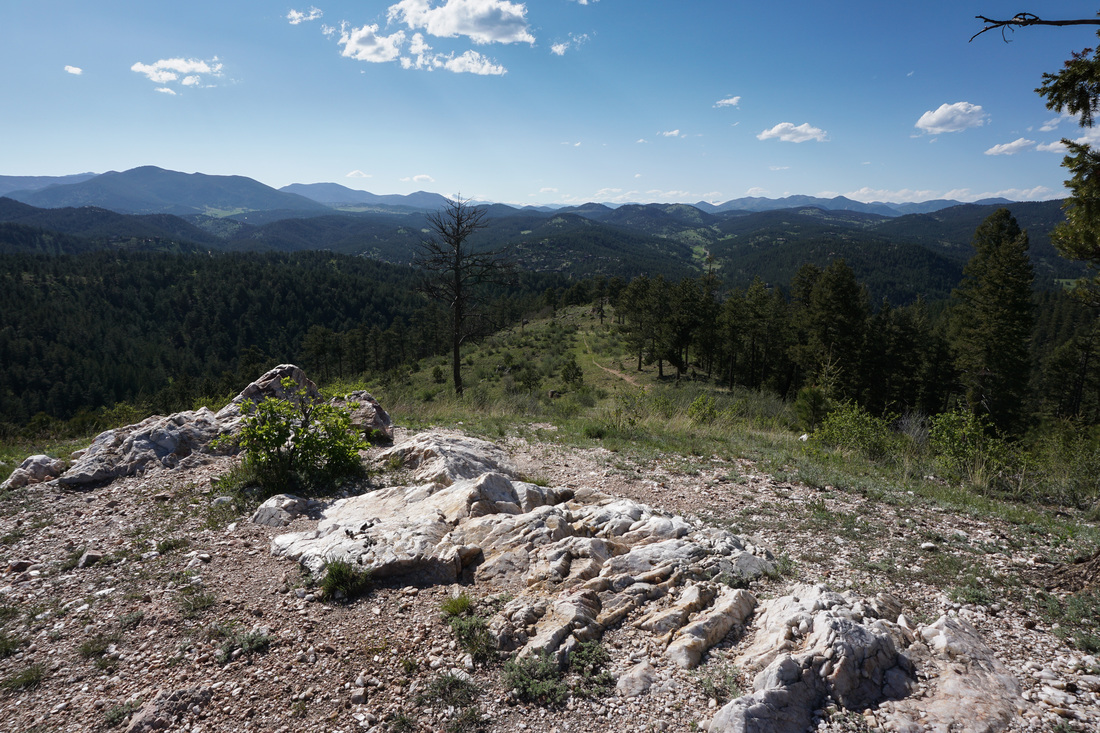
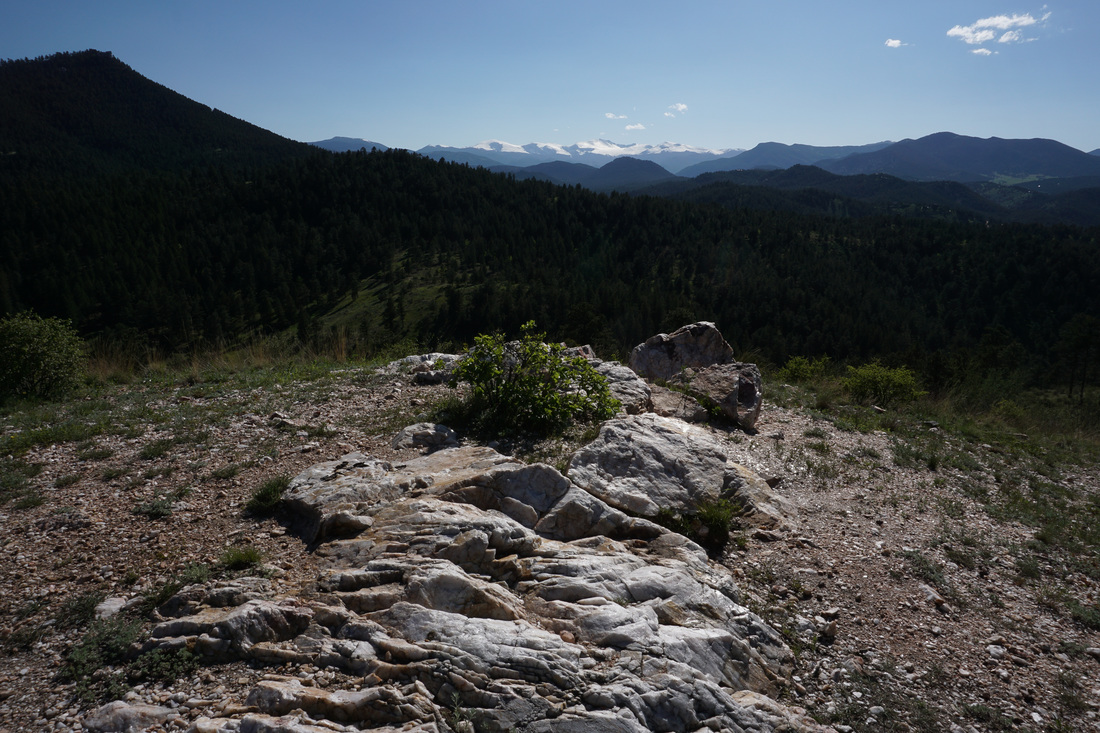
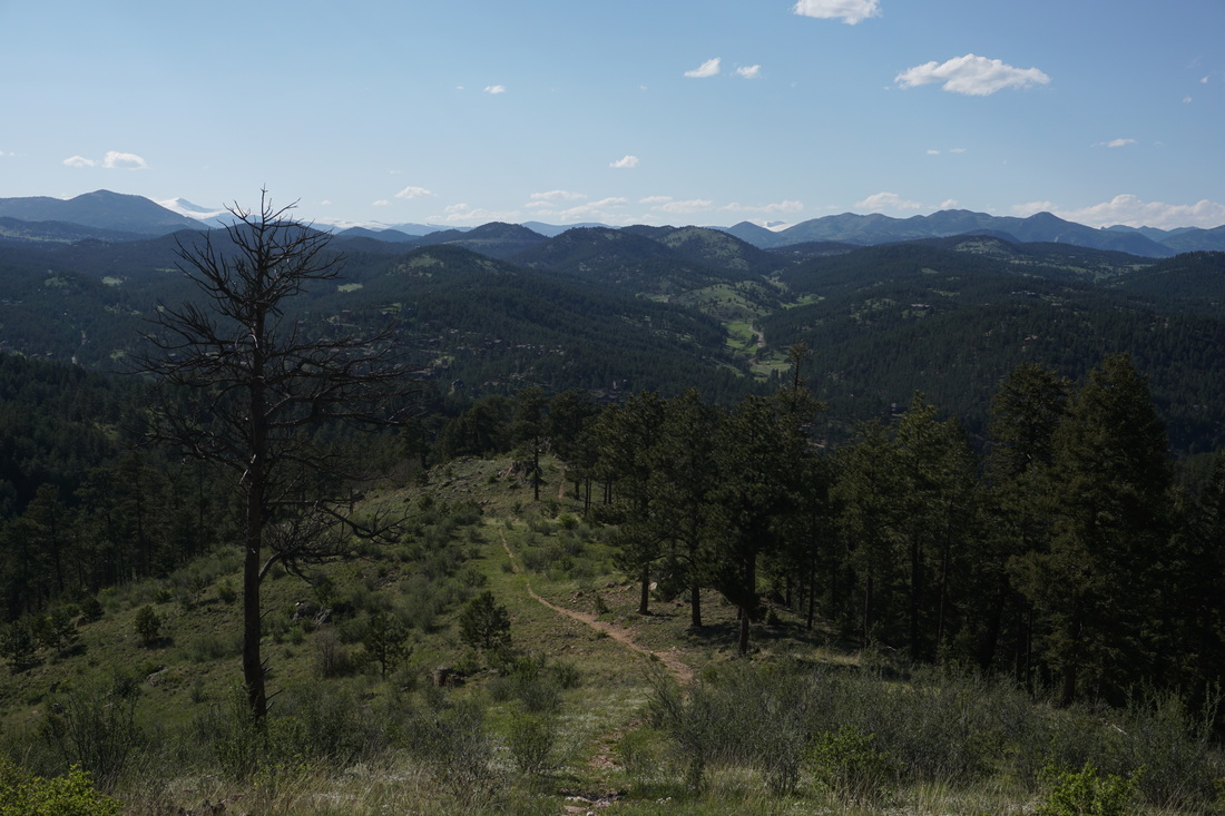
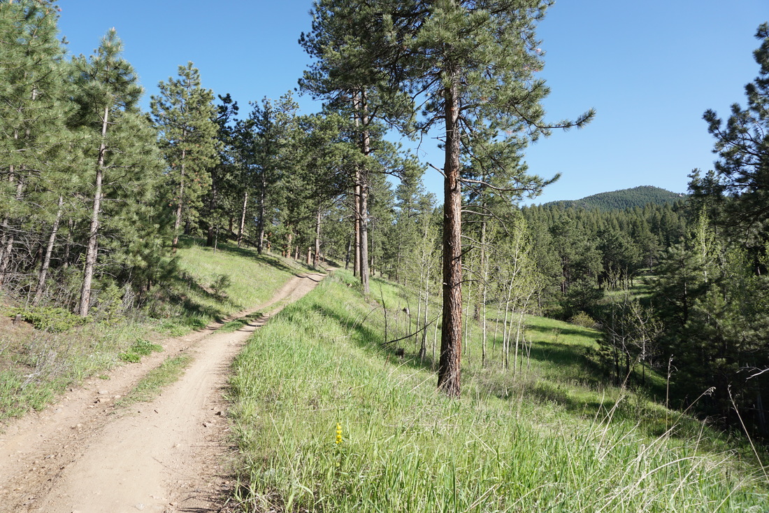
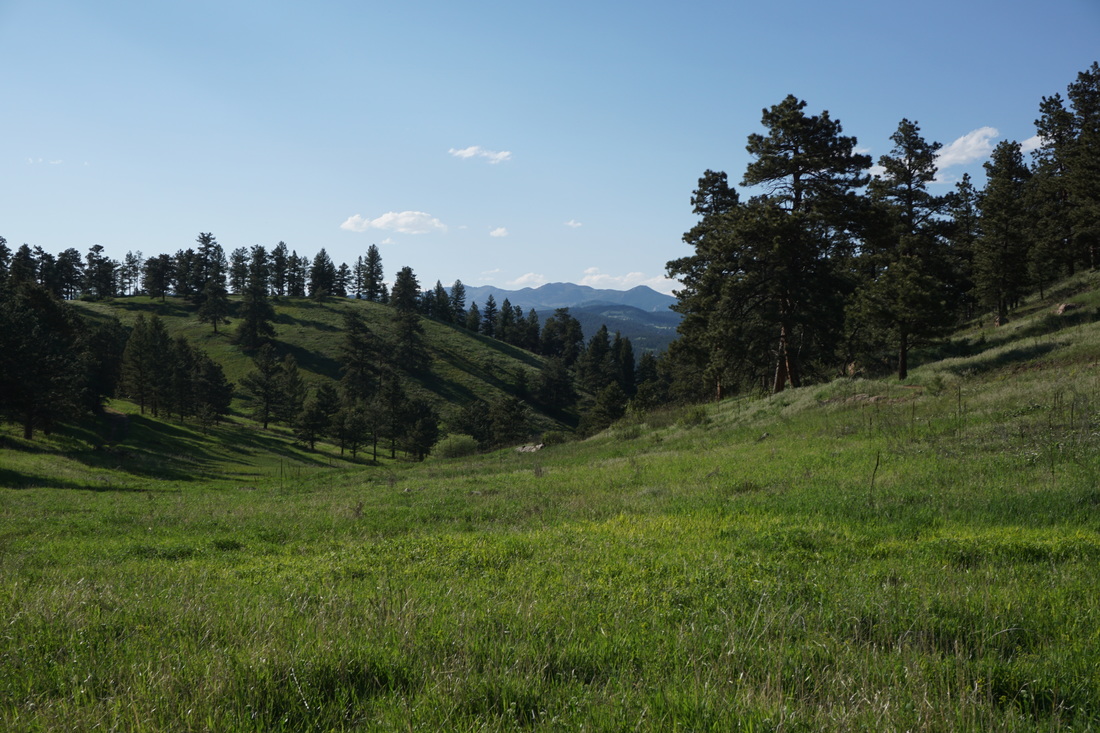
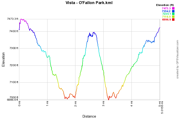
The Vista is one of the best viewpoints in the Denver foothills.  The Vista can be reached by a number of routes but this one proves to a moderately difficult route, but also a lot of fun.  

From the trailhead along Parmalee Gulch Road follow the Bear Creek Trail (BCT) as it parallels the road, then turns into the park to meet up with the West Ridge Loop in .8 miles.  Continue along the Bear Creek Trail as it rolls along open meadows and through evergreen forest.  There used to be a part of the Meadowview Trail that leads up to the Vista but Denver Mountain Parks has closed this part of the trail, hopefully not permanently.  If the trail is open when you visit you can turn right from the BCT and follow this trail for .3 miles up the hill to the sign for "Vista."  If the trail is closed you need to add another 1.4 miles to the hike.  

Continue along the BCT as it descends the canyon and meets up with the Meadowview Loop.  Turn right and follow the usually overgrown trail up a steep .5 mi to the sign for "Vista."  Turn right here and you'll quickly find yourself on the vista ridge, up close and personal with Mt. Evans to the West.  Follow the ridge for .1 mi to the quartz outcrop that is the Vista.  The view west to Mt. Evans is magnificent as is the view up the valley to the north.  Relax and take it all in before retracing your steps.  
Powered by Create your own unique website with customizable templates.