|
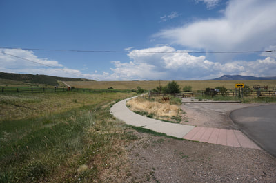
DIRECTIONS: The trailhead is at the corner of W. Hampden Ave and W. Bear Creek Drive in Lakewood. From Hwy 285 exit at Kipling Parkway and head north. Turn west (left) onto Girton Dr. and follow it west to the Homestead Golf Course. Rather than entering the golf club, turn right onto W. Hampden Ave and proceed to the corner of Bear Creek Drive. On the left, is a paved walking path with a turnout with enough space for a few cars, park and start here.
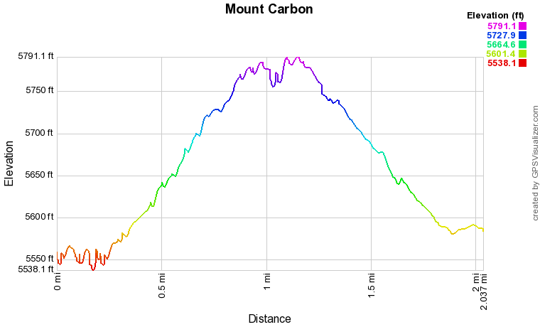
Mount Carbon is a small summit that rises along the southern shores of Bear Creek Lake. While the mountain is rather non-distinct, the views from the top are tremendous. There are various ways to get to the top of Mount Carbon, mostly from within Bear Creek Lake Park. This route starts just outside the park (no entrance fee) and provides the quickest and easiest way to the top. The hike is perfect if you are just looking for a quick hike with a little bit of elevation gain close to Denver.
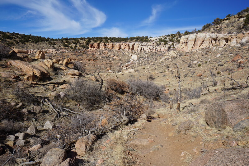
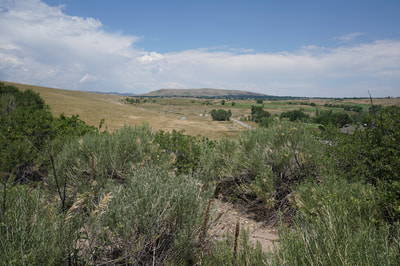
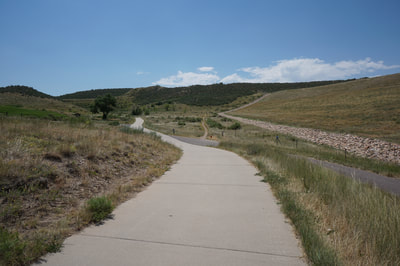
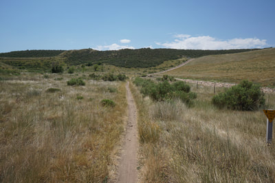
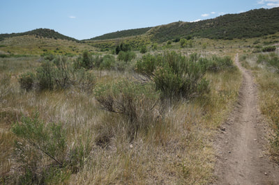
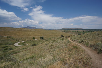
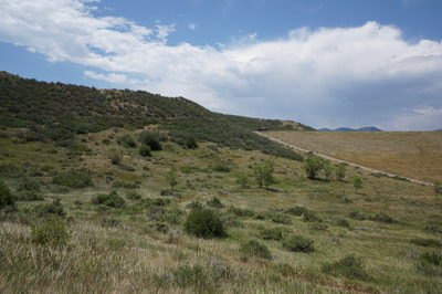
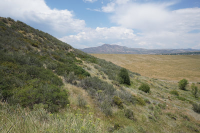
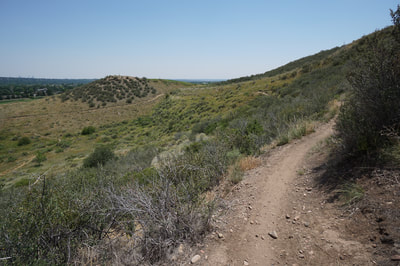
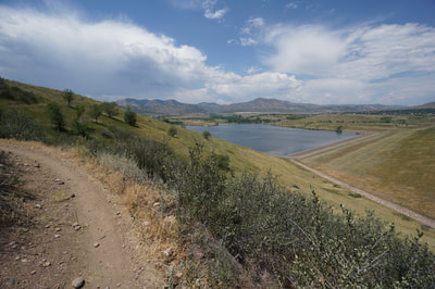
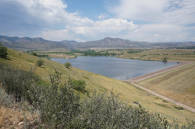
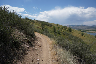
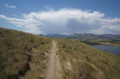
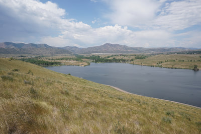
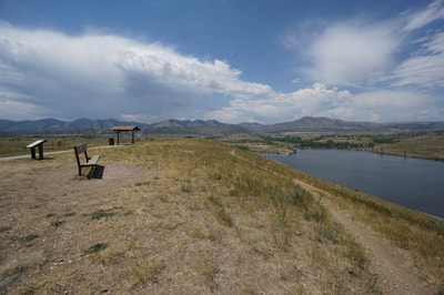
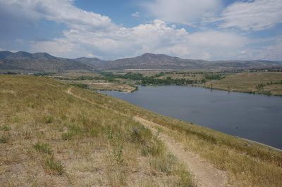
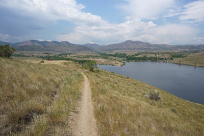
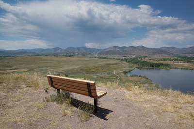
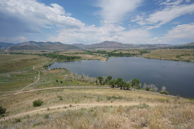
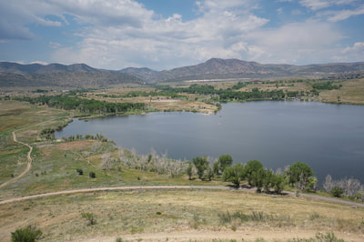
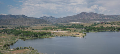
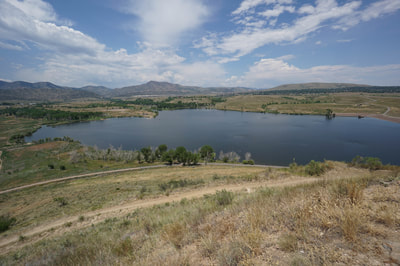
From the trailhead, follow the paved footpath towards a closed gate, continue along the paved path as winds around the gate and meets up with the bike path heading towards Mt. Carbon. On the other side of the bike path is a narrow single track natural surface path that makes up part of the Mt. Carbon Loop. Follow the single track as it meanders through desert scrub and small trees and starts to climb via switchbacks up the northern slopes of Mt. Carbon. Soon the views of the Dam and Bear Creek Lake will come into focus. Before you know it you will be at the top of the broad flat summit. At the top, you'll find the Homestead Golf Course, bathrooms, and usually, a water cooler. Continue past the golf course and descend a little to a wonderful viewpoint with a bench, picnic tables, and terrific views of the Front Range foothills. The views of Mt. Morrison and Red Rocks Park behind the lake and Green Mountain to the north are brilliant. Follow the same route back to the trailhead. This hike is short but sweet. If you want to make this into a longer hike, you can start further east and pick up the Bear Creek Trail or the Stonehouse Trail and follow it all the way to Mount Carbon. For example, starting at the Bear Creek Greenbelt and summiting Mt. Carbon results in a 10 mile RT hike that is far prettier than you might imagine. |
- HOME
- ABOUT
-
HIKES BY REGION
-
NATIONAL PARK HIKES
- BENT'S OLD FORT NATIONAL HISTORIC SITE
- BLACK CANYON OF THE GUNNISON NATIONAL PARK
- COLORADO NATIONAL MONUMENT
- CURECANTI NATIONAL RECREATION AREA
- DINOSAUR NATIONAL MONUMENT
- FLORISSANT FOSSIL BEDS NATIONAL MONUMENT
- MESA VERDE NATIONAL PARK
- ROCKY MOUNTAIN NATIONAL PARK
- GREAT SAND DUNES NATIONAL PARK
- HOVENWEEP NATIONAL MONUMENT
- SAND CREEK MASSACRE NATIONAL HISTORIC SITE
- YUCCA HOUSE NATIONAL MONUMENT
- HIKES BY CATEGORY
- NEWS
- WEBCAMS
- $UPPORT GHC
- INTERACTIVE MAP
Mount Carbon via Homestead Golf Club
Bear Creek Lake Park
Date Hiked: July 8, 2017
Distance: 2 mi (RT)
Elevation Gain: 300 ft
Elevation Min/Max: 5,537 to 5,791 ft
Trailhead Lat/Long: 39º 39' 12" N;105º 07' 47" W
Managing Agency: City of Lakewood Parks
Fee: None

