|
Directions: Finding the trailhead can be difficult so see the map to the right.
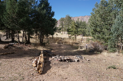
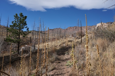
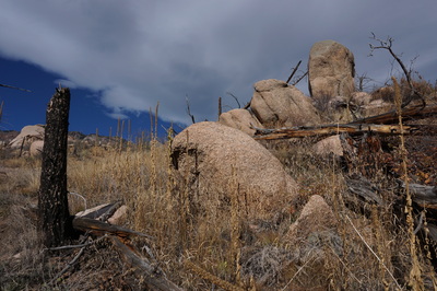
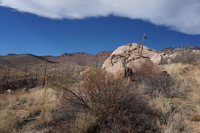
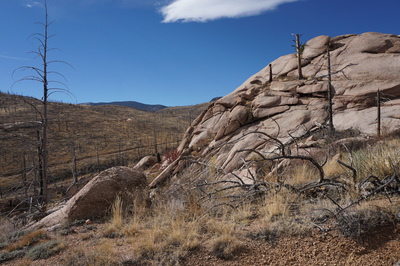
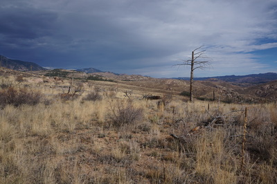
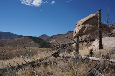
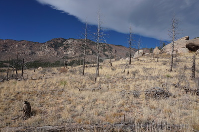
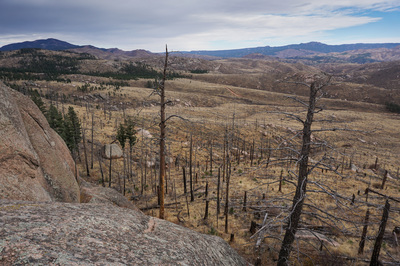
This hike is located in the Hayman Fire Restoration Area. From Denver take Hwy 285 south to Pine Junction. Turn left and head south down 126 Pine Valley Road (which becomes Deckers Road) through the towns of Pine and Buffalo Creek. Stay on 126 until you reach the Cheesman Canyon Trailhead and Parking Area. Just past the parking area turn right on Road 211 towards Cheesman Reservoir. This road is dirt but in good weather it should be passable to most passenger cars, SUV is preferred. Follow the narrow winding road until you see the sign for Goose Creek Road and turn right. Follow Goose Creek Road for about 6.5 miles. Just after the turn off for the Lost Valley Ranch, look to the right for a small dirt road leading to a large dispersed campground. All in all this spot is 8.5 miles from where you turn off of 126. There is room here for a few cars and you'll see a "No motorized vehicle" post with a dirt path beyond it. To the right of this dirt path is a campsite with a fire ring. Follow the trail beyond this campsite rather than the wide path beyond the post. This is the less obvious trail... The Hayman Fire Restoration Area is a unique and wonderful place. The landscape is stark, burnt trees, undergrowth that is thriving, and massive granite rock formations. Towers, domes, boulders, the lack of trees makes the rock all the more visible. If you want to access the Lost Creek Wilderness at either the Wigwam or Goose Creek Trailheads, you need to cross over the Hayman Fire area.
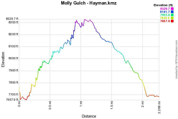
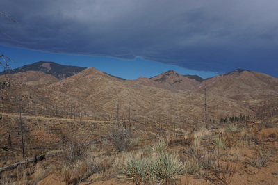
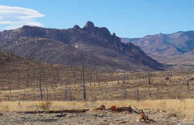
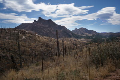
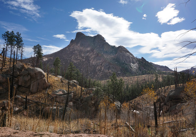
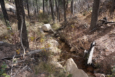
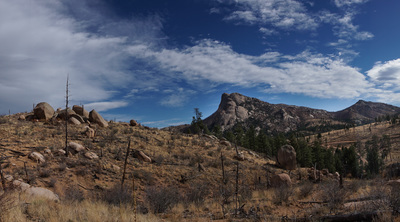
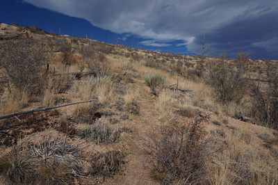
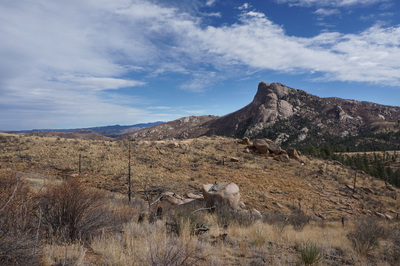
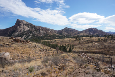
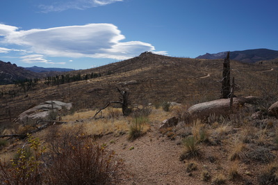
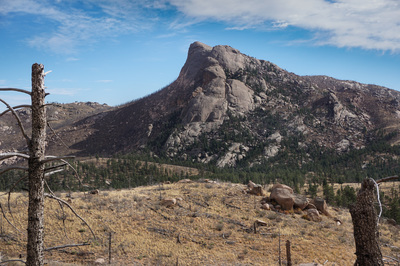
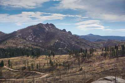
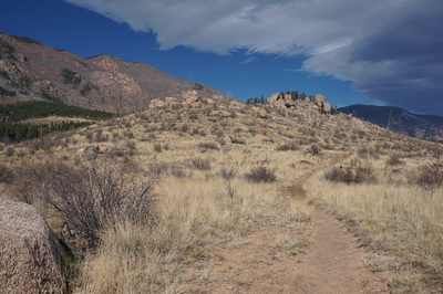
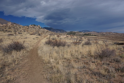
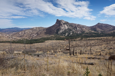
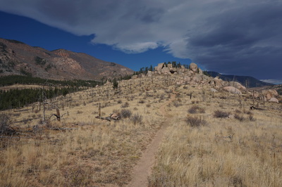
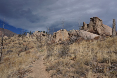
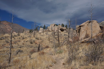
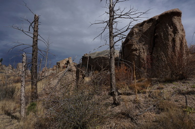
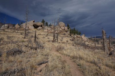
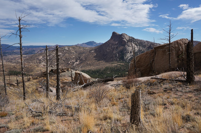
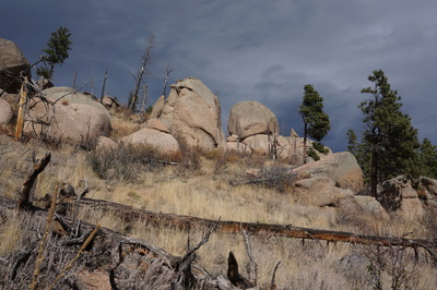
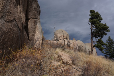
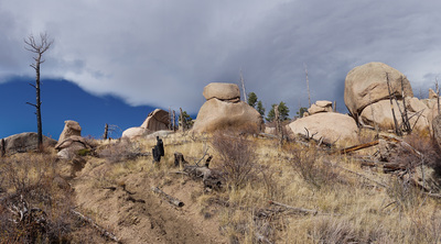
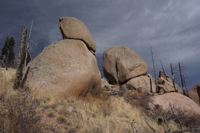
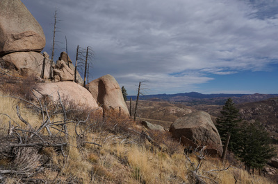
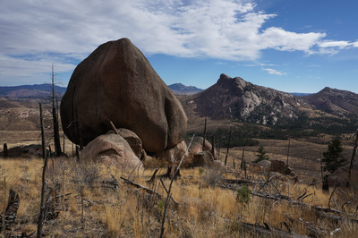
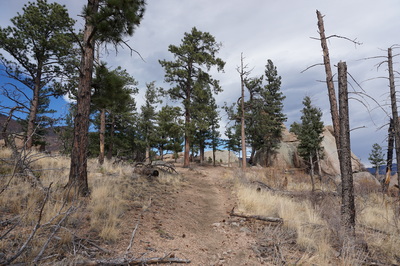
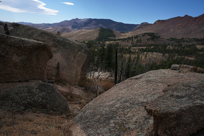
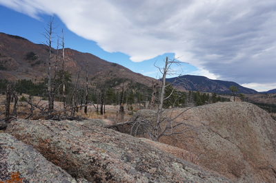
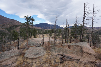
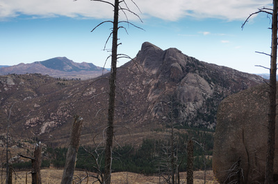
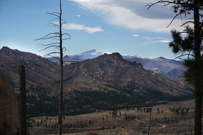
There are not many hiking trails in this area. The Cheesman Canyon Trail is the only official trail until you reach the Lost Creek Wilderness. However, there are many unofficial and social trails crisscrossing the landscape. Many of these trails are used by hunters, ATVs, or motor bikes, so be careful. That being said, there is one area that we have found with a wonderful short moderately strenuous hike. The Molly Gulch area just north of the Lost Valley Ranch (an operating Dude Ranch). An old road is visible on National Geographic Maps and is sometimes depicted as a non-motorized trail. However, this hike is not depicted on any maps that we have seen, even though the trail is far more established than a social trail. If you follow the directions above, you'll reach the dispersed (unofficial) campsite that serves as the trailhead for this hike. Find the fire pit near the creek and gulch and follow the faint trail just beyond. Almost immediately you'll have some options, bearing left will take you to an old dirt road which may provide a 7 mile or so loop hike. If you bear right you'll follow this hike description. The trail starts by descending down to a small creek. Cross the creek and you'll find yourself at a fork in the trail. I suggest turning left here and following the loop counter-clockwise. Head up the steep soft dirt trail among desert scrub and oversized boulders. Almost immediately you'll be treated to views of Sheeprock to the east. The constant views of Sheeprock are what makes this hike so darn good. Continue climbing to the top of the ridge and you'll soon intersect a VERY established trail. Continue hiking uphill by turning left on this trail. The trail will snake around to the west and you'll soon see your destination, referred to only as point 8,322 on topo maps. Point 8,322 is a collection of massive boulders and rock outcroppings. As you near Point 8,322 the views get even better as you can now see iconic formations such as Thunder Butte and Pikes Peak beyond Sheeprock. To the west is the wall/ridge that separates the Hayman area from the Lost Creek Wilderness. When you reach the wooded, boulder strewn summit you can explore the rock outcroppings for a bit further but the trail ends here. There are many terrific places to explore up here and countless boulders to scramble around on. When you are satisfied with your exploration head back down the trail but this time bear left on the more obvious trail. However, be careful to stay on this trail as there are a few spots where more social trails can lead you astray, or you can explore these trails for a longer adventure. If you follow the trail then it will take you back down to the creek crossing and the campsite/trailhead. This hike may be short, but it is well worth the effort to reach. It is one of the few hikes in this amazing area and offers possibly the best views of Sheeprock that you will find. There are probably many more hikes like this in the Molly Gulch/Sheeprock area, so our exploration is not done. We'll of course let you know if we find more... |
|
- HOME
- ABOUT
-
HIKES BY REGION
-
NATIONAL PARK HIKES
- BENT'S OLD FORT NATIONAL HISTORIC SITE
- BLACK CANYON OF THE GUNNISON NATIONAL PARK
- COLORADO NATIONAL MONUMENT
- CURECANTI NATIONAL RECREATION AREA
- DINOSAUR NATIONAL MONUMENT
- FLORISSANT FOSSIL BEDS NATIONAL MONUMENT
- MESA VERDE NATIONAL PARK
- ROCKY MOUNTAIN NATIONAL PARK
- GREAT SAND DUNES NATIONAL PARK
- HOVENWEEP NATIONAL MONUMENT
- SAND CREEK MASSACRE NATIONAL HISTORIC SITE
- YUCCA HOUSE NATIONAL MONUMENT
- HIKES BY CATEGORY
- NEWS
- WEBCAMS
- $UPPORT GHC
- INTERACTIVE MAP
Molly Gulch to Point 8,322
Hayman Fire Restoration Area
Pike National Forest
Date Hiked: November 1, 2015
Distance: 2.1 mi (RT)
Elevation Gain: 789ft
Elevation Min/Max: to 8,322 ft
Trailhead Lat/Long: 39º 11' 19" N; 105º 20' 56" W
Managing Agency: U.S. Forest Service
Fee: None

