GO HIKE COLORADO
Get in Touch:
  • HOME
  • ABOUT
  • HIKES BY REGION
    • DENVER AREA >
      • Denver Mountain Parks
      • Jefferson County Open Space
      • Lakewood Parks
      • Denver Area Greenways
    • BOULDER AREA
    • DOUGLAS COUNTY
    • FORT COLLINS AREA
    • COLORADO SPRINGS AREA
    • FRONT RANGE
    • TENMILE & MOSQUITO RANGES
    • GORE RANGE
    • SANGRE DE CRISTO MOUNTAINS
    • PARK RANGE
    • SAWATCH RANGE
    • ELK MOUNTAINS
    • SAN JUAN MOUNTAINS
    • THE FLAT TOPS
    • GRAND MESA
    • COLORADO PLATEAU
    • EASTERN PLAINS
  • NATIONAL PARK HIKES
    • BENT'S OLD FORT NATIONAL HISTORIC SITE
    • BLACK CANYON OF THE GUNNISON NATIONAL PARK
    • COLORADO NATIONAL MONUMENT
    • CURECANTI NATIONAL RECREATION AREA
    • DINOSAUR NATIONAL MONUMENT
    • FLORISSANT FOSSIL BEDS NATIONAL MONUMENT
    • MESA VERDE NATIONAL PARK
    • ROCKY MOUNTAIN NATIONAL PARK
    • GREAT SAND DUNES NATIONAL PARK
    • HOVENWEEP NATIONAL MONUMENT
    • SAND CREEK MASSACRE NATIONAL HISTORIC SITE
    • YUCCA HOUSE NATIONAL MONUMENT
  • HIKES BY CATEGORY
    • HIKES TO ALPINE LAKES
    • HIKES TO PEAKS & PASSES
    • HIKES THROUGH CANYONS
    • HIKES WITH FALL COLORS
    • HIKES ALONG THE I-70 CORRIDOR
    • HIKES ON PAVED TRAILS
    • HIKES FOR KIDS
    • HIKES TO WATERFALLS
    • HIKES ALONG RIVERS
    • HIKES WITH ROCK FORMATIONS
    • HIKES WITH WILDFLOWERS
    • WINTER HIKES
  • NEWS
  • WEBCAMS
  • $UPPORT GHC
  • INTERACTIVE MAP

Cheesman Canyon - Gill Trail
Pike National Forest

Date Hiked: November 12, 2012

Distance: 8 miles (RT)
Elevation Gain: 800ft
Elevation Min/Max: 6,477ft to 7,154ft
Trailhead Lat/Long:  39.241484 N; 105.265702 W
Managing Agency: U.S. Forest Service
Fee: None

Cheesman Canyon Webpage (USFS)
Picture

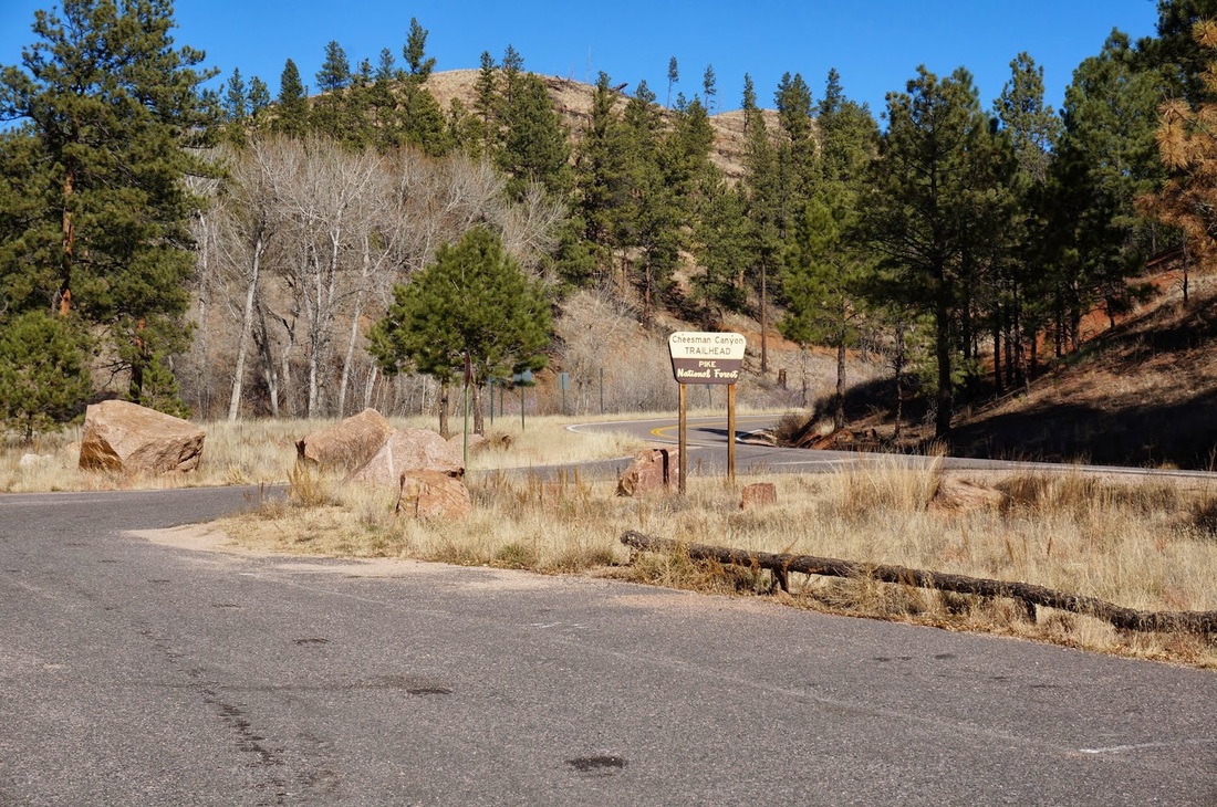
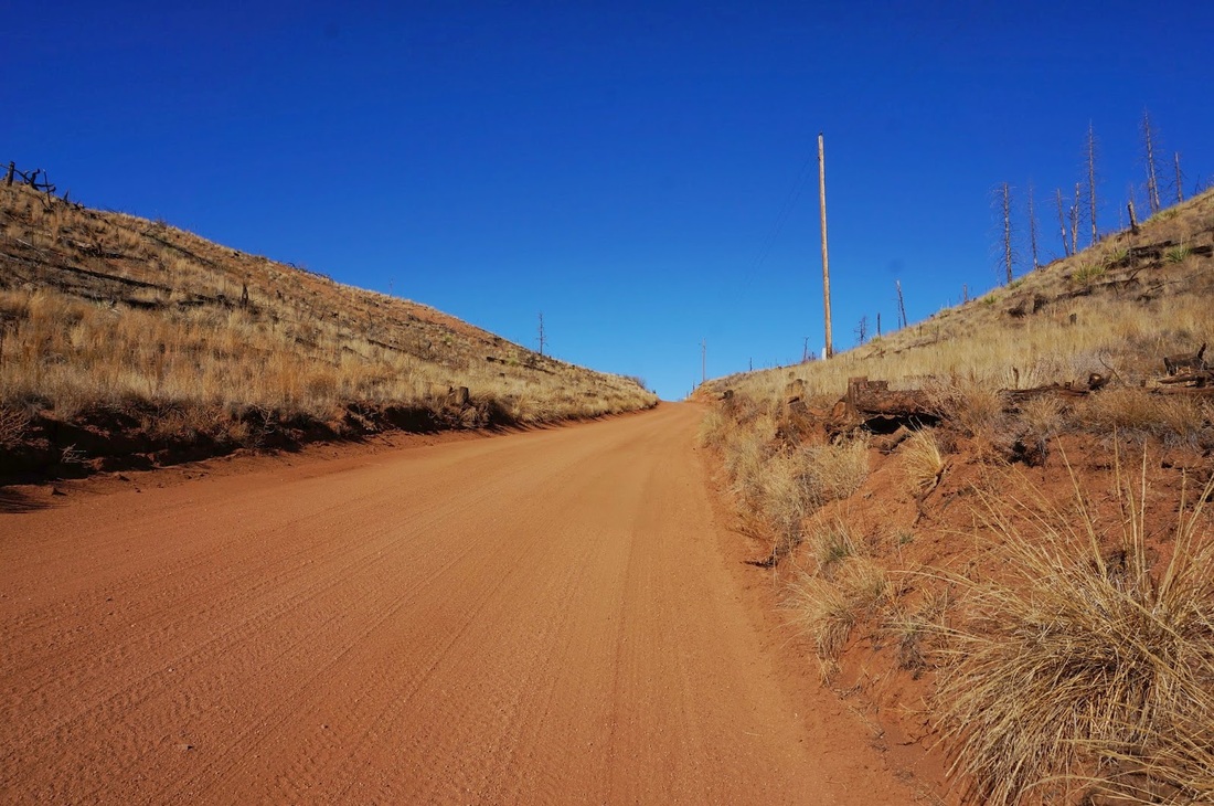
Directions:  From Denver, take 285 S. to Pine Junction and turn left (south) onto Pine Valley Road (126).  Take 126 south through the historic town of Pine.  This becomes Deckers Rd (126).  Take Deckers Rd south to the trailhead and parking area off to the right.

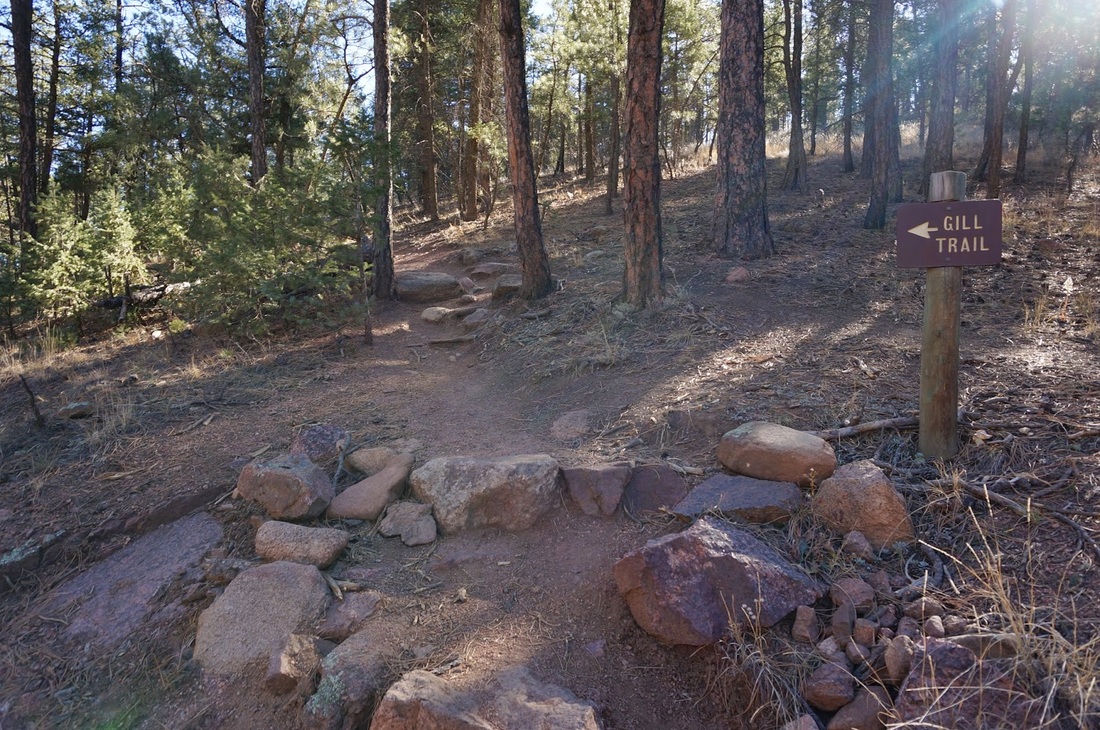
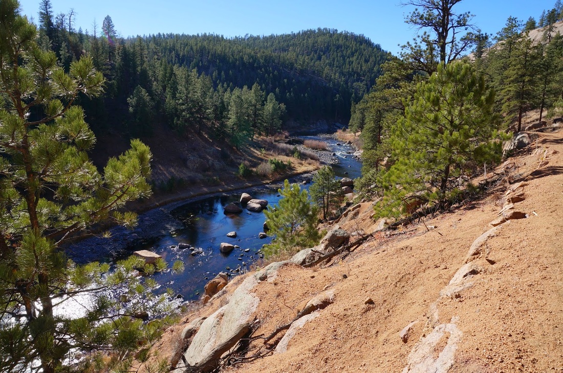
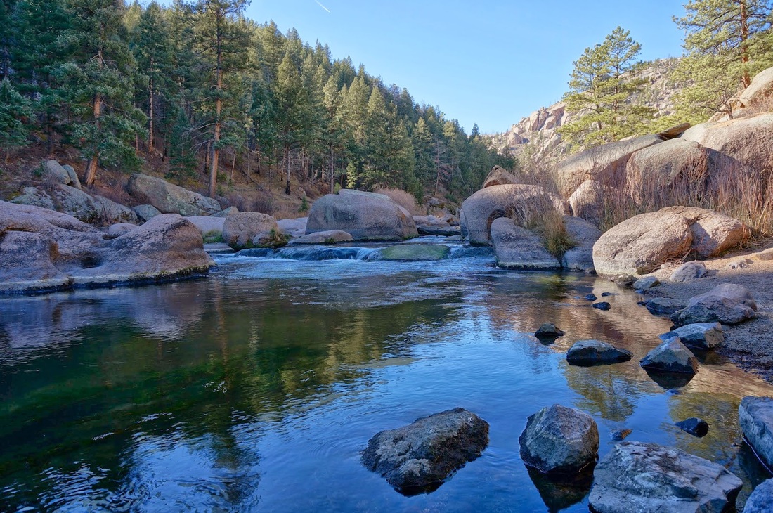
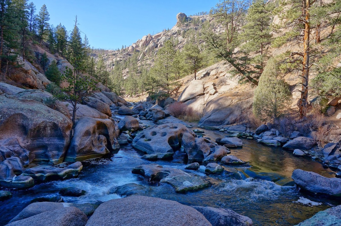
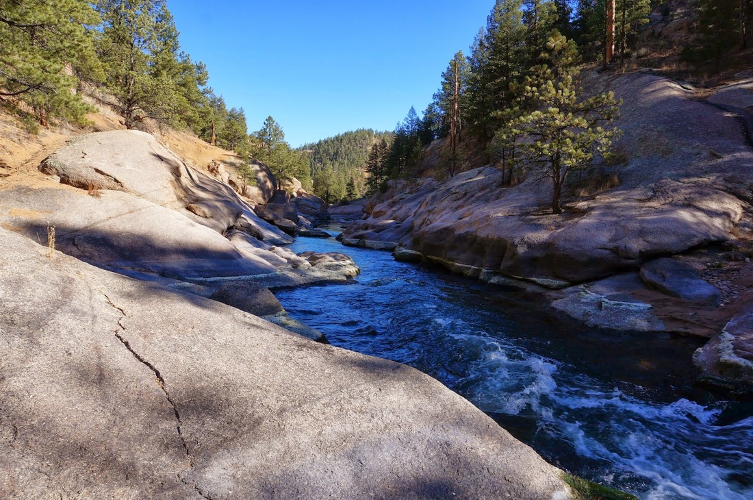
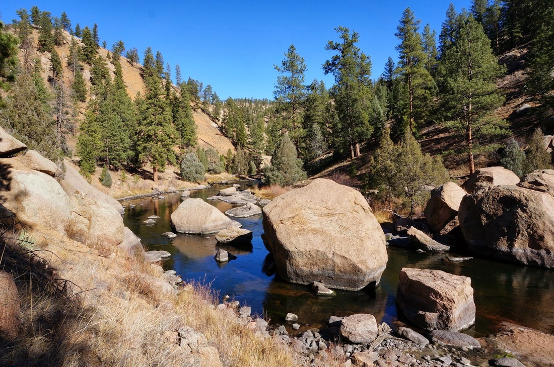
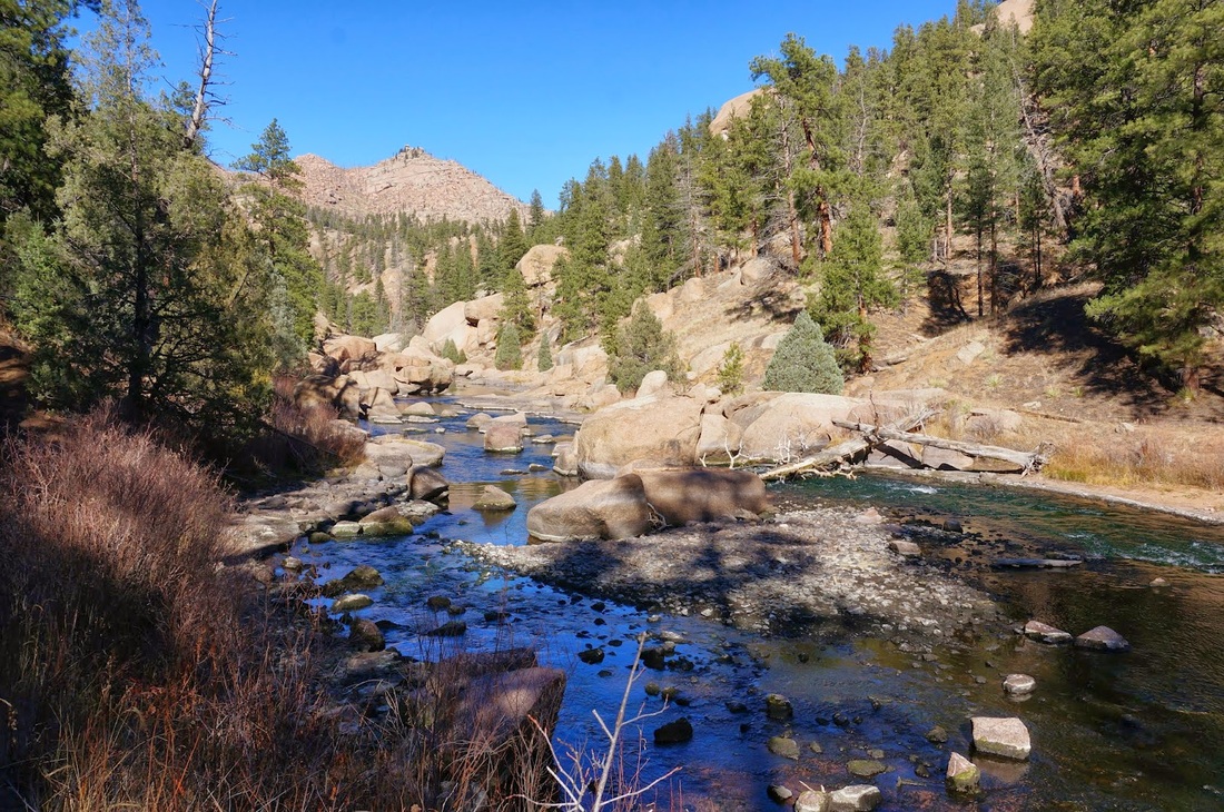
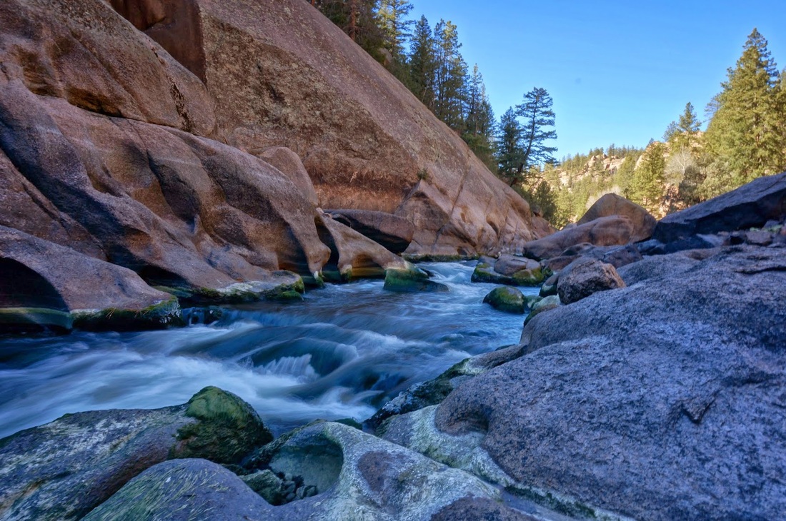
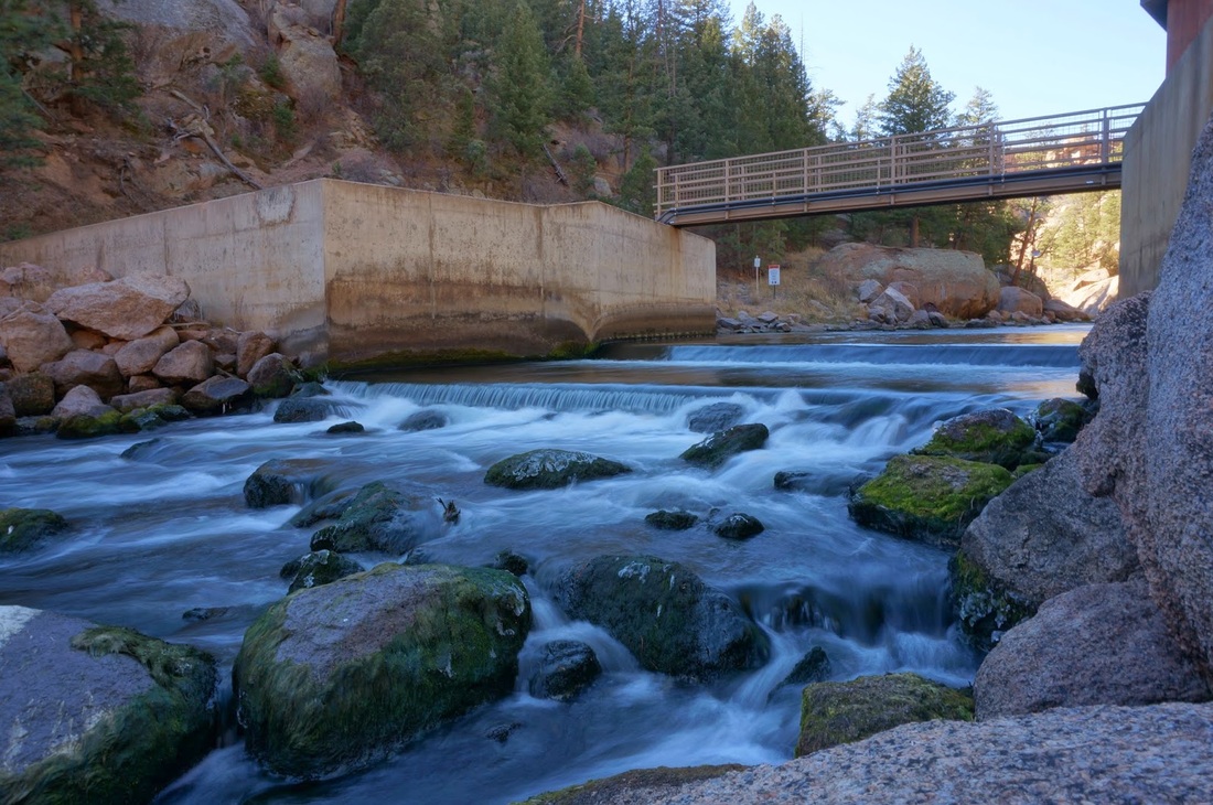
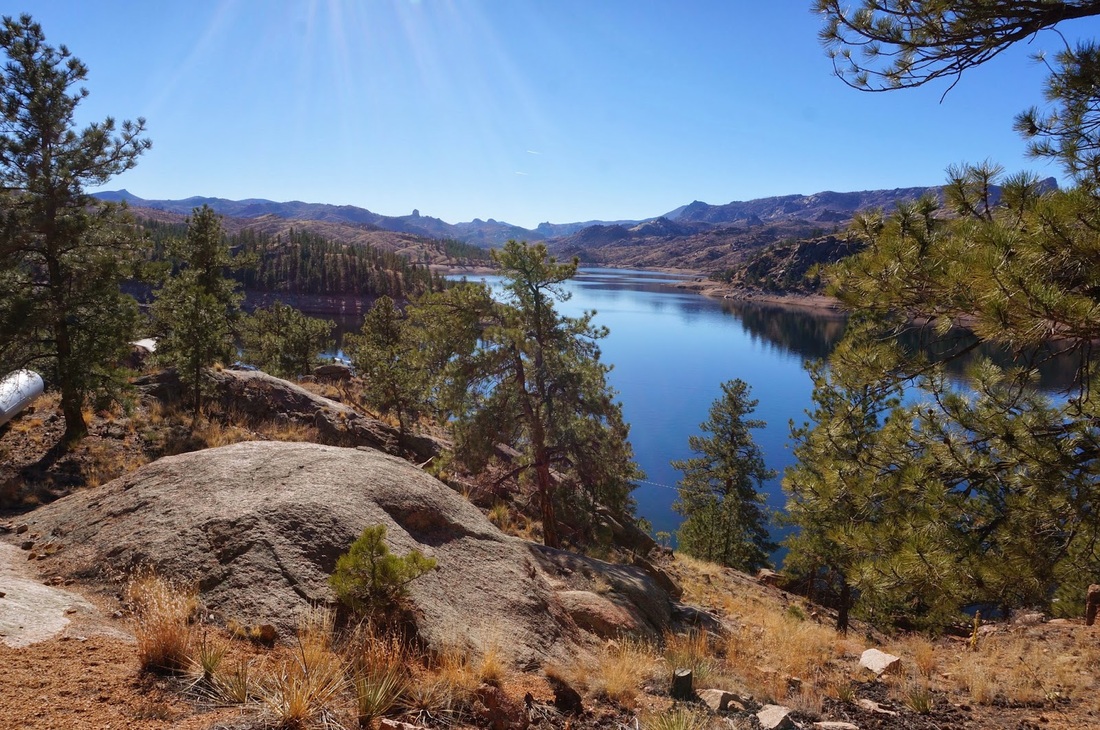
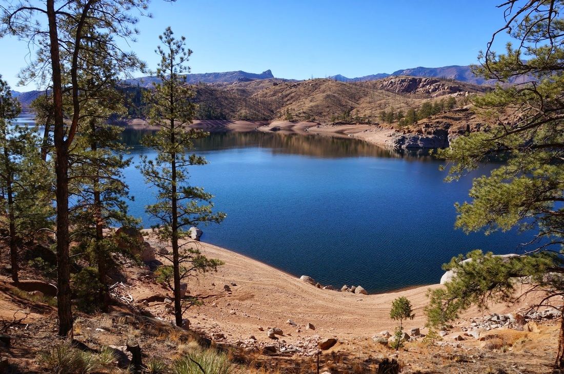
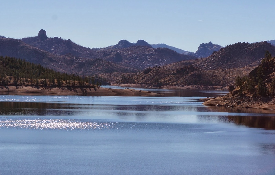
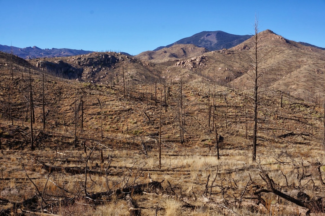
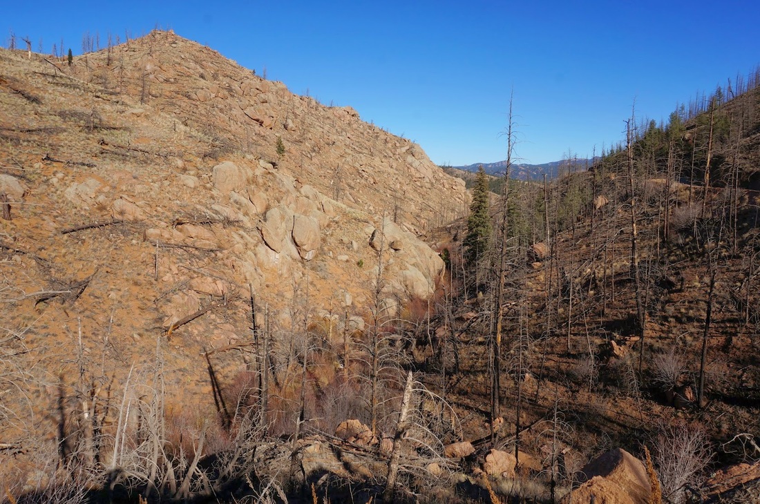
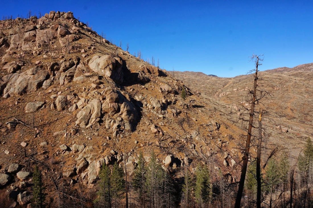
This is a wonderful hike through a fascinating part of Colorado's Front Range.  The mountains are replaced by rock formations, sandstone canyons, and burn areas.  However, I screwed up this hike when I did it.  Do not follow my google map exactly, the key for this description tells you what not to do and how to do it properly. 

The trail starts by following the Gill trail along the slopes of Cheesman Canyon.  The trail is hard to find in some places so be careful.  After you've traversed most of the canyon, you need to look to the right (upslope) for the trail junction.  I missed this trail junction when I  hiked the canyon.  The key is, do not go all the way to the dam.  A few hundred yards before the dam, there is a faint trail that goes upslope away from the Canyon.  You want to take this trail, which will climb over the mountain and deposit you on the other side where you hike along the dirt road back to the trailhead.

If you go all the way, like I did, you get to a service road, stating "No Trespassing."   Cheesman Reservoir is off limits to the public and if you disregard these signs (as I did) you will wind up enclosed by fences and gates. It was really embarrassing as I got stopped by an official in a pickup truck. I told him my situation and he allowed be to hike out, of course once I got to the fence and the gate, I had to crawl under the fence near a ditch to get out.  You need to avoid this situation at all costs, if you can't find the proper trail, go back through the canyon, don't get stuck behind the gates!

Powered by Create your own unique website with customizable templates.