|
|
|
DIRECTIONS: From Cañon City, head west on Hwy 50 and turn south on 1st Street. Turn right (west) on Temple Canyon Road (Co Rd 3) for 3/4 of a mile to the Ecology Park parking area and trailhead.
The Grape Creek Trail is a long adventurous route. I reaches from the Arkansas River in Cañon City south through Temple Canyon and Temple Canyon Park and south to the Dewesee-Dye Reservoir on the flanks of the Sangre De Cristo Mountains. The section of trail described here runs through narrow and colorful Temple Canyon accessible minutes from downtown Cañon City. This segment of the Grape Creek Trail is part of the South Cañon Trails System.
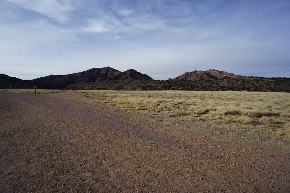
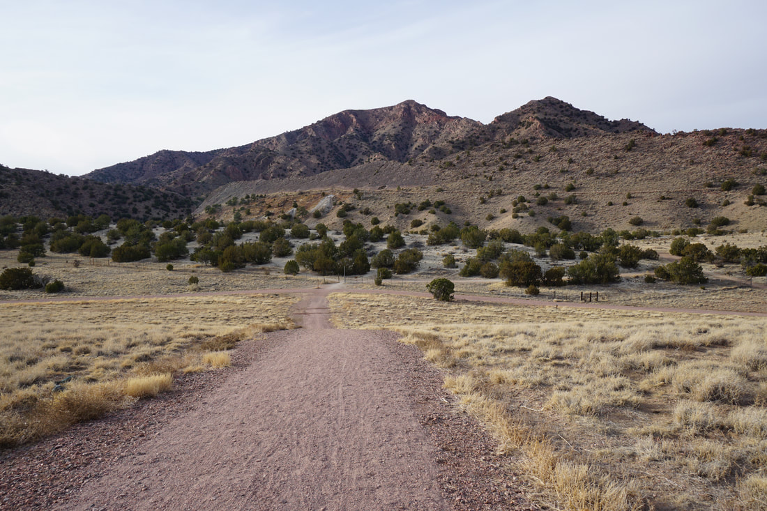
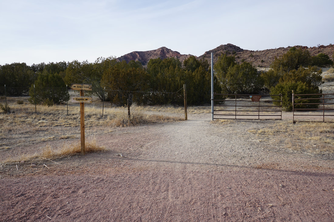
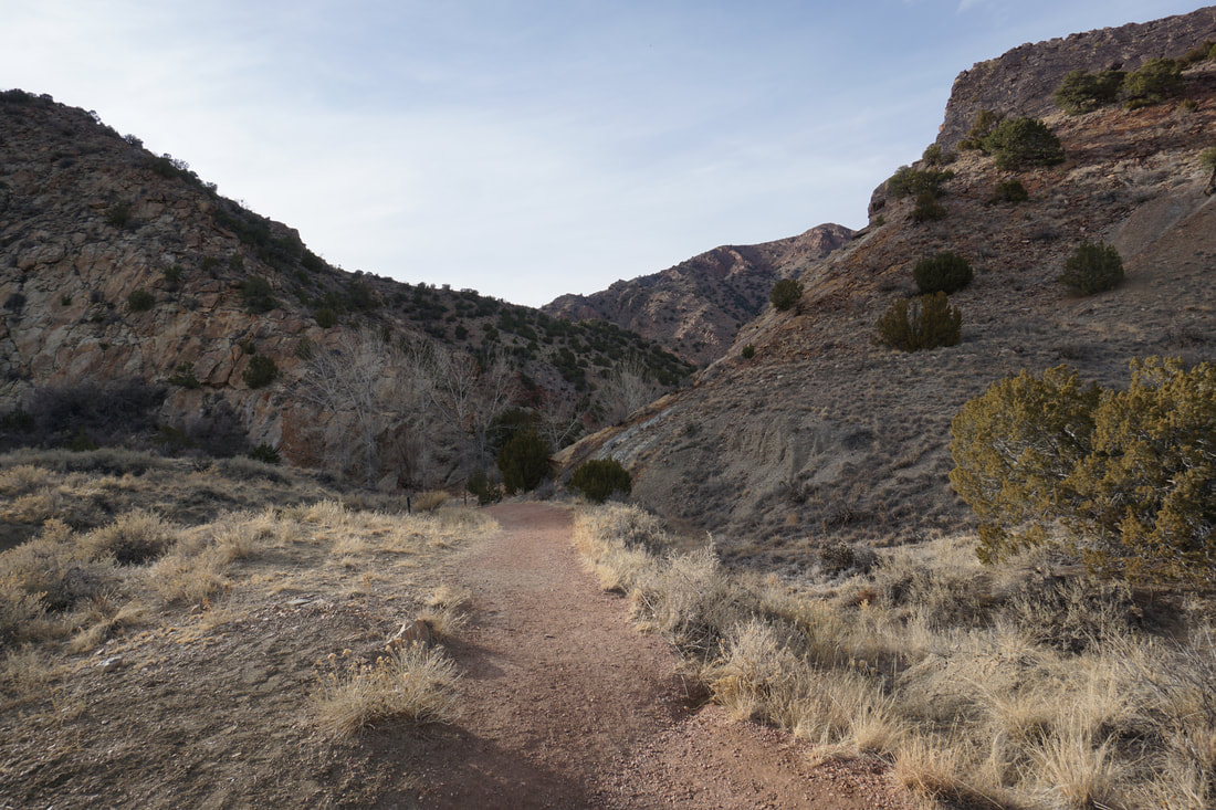
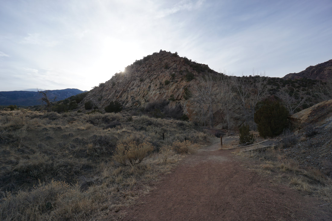
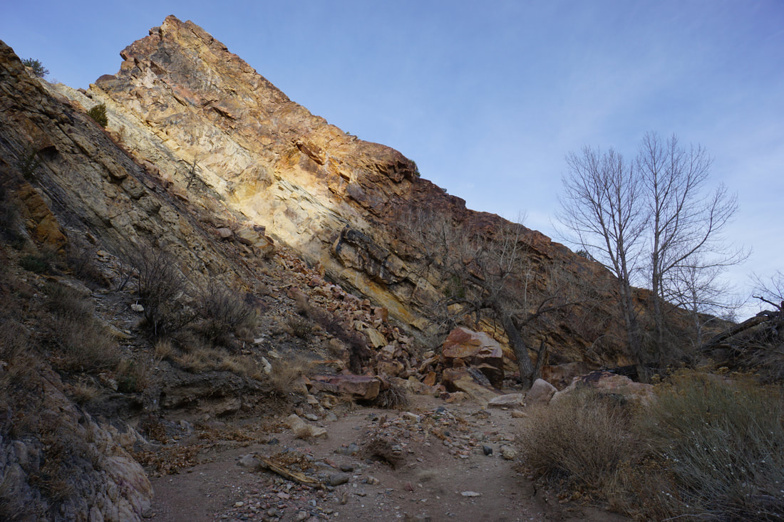
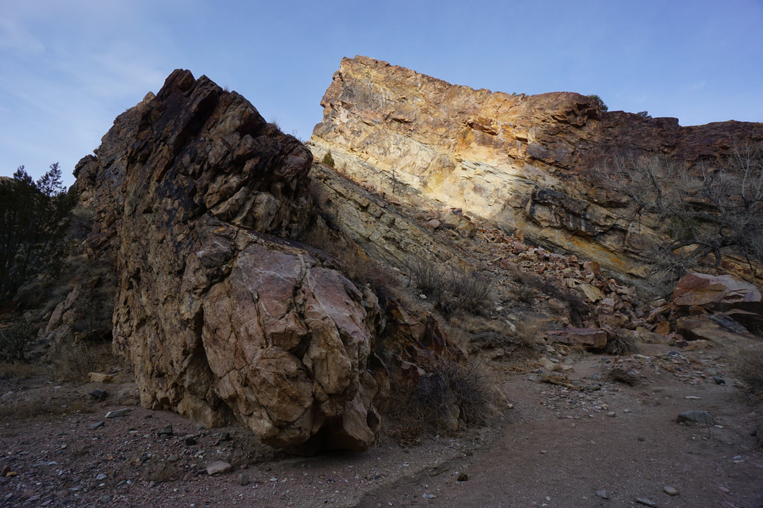
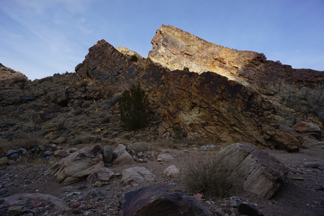
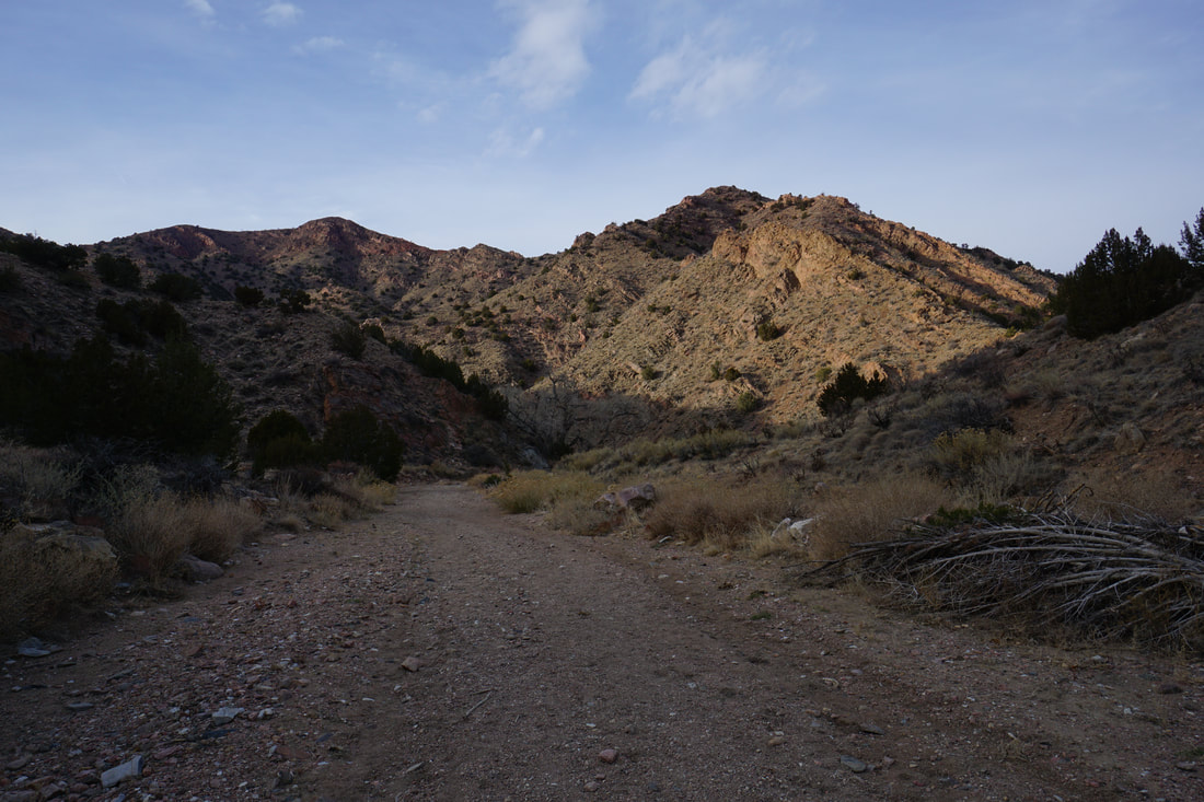
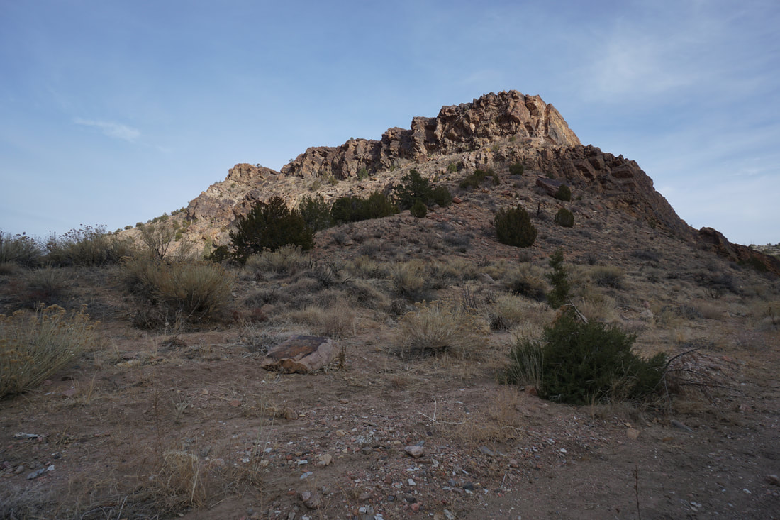
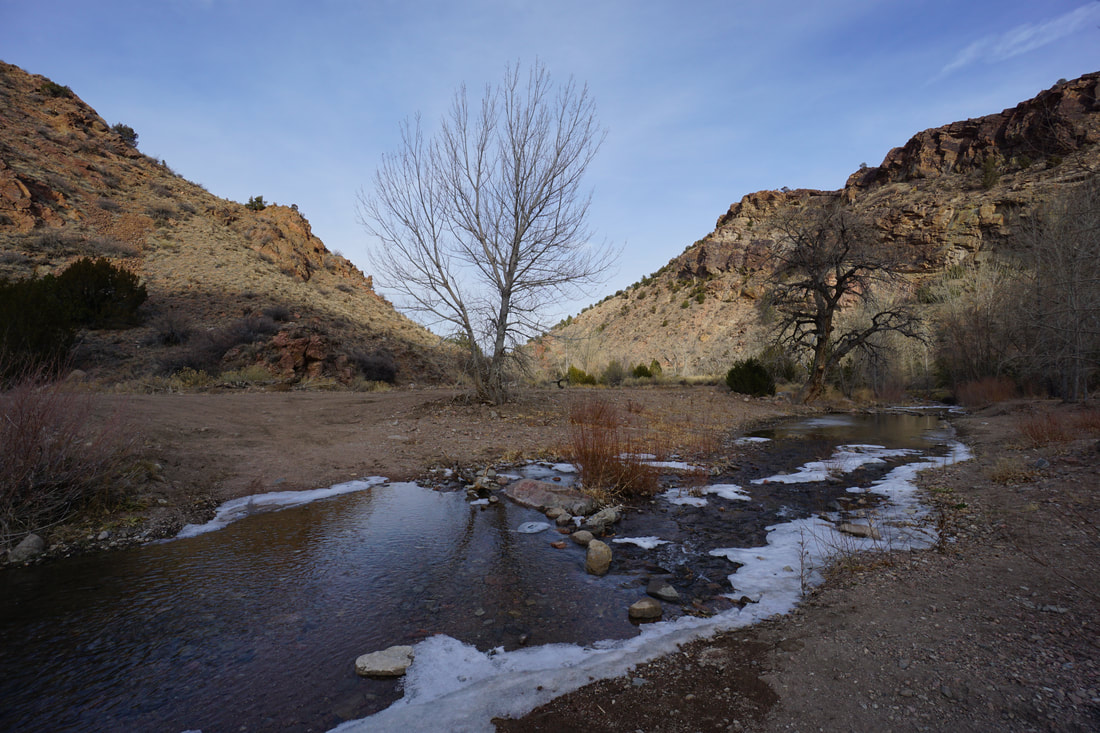
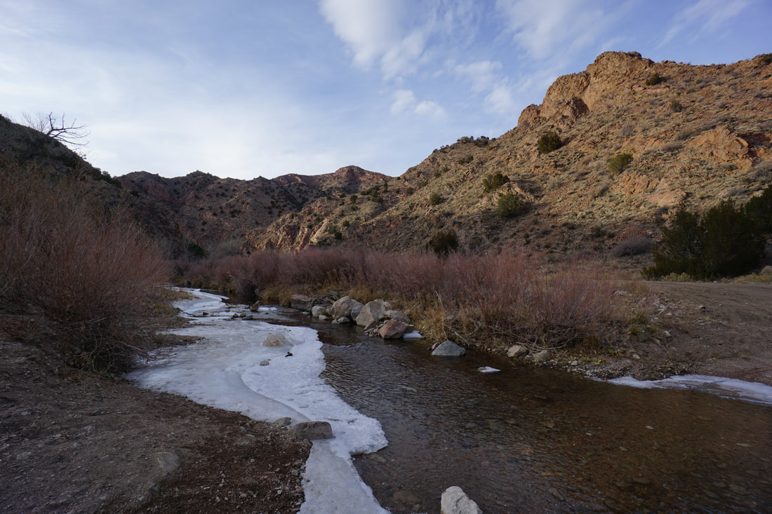
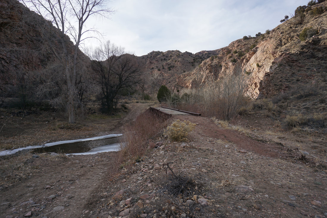
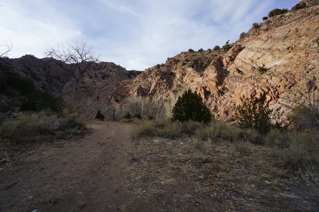
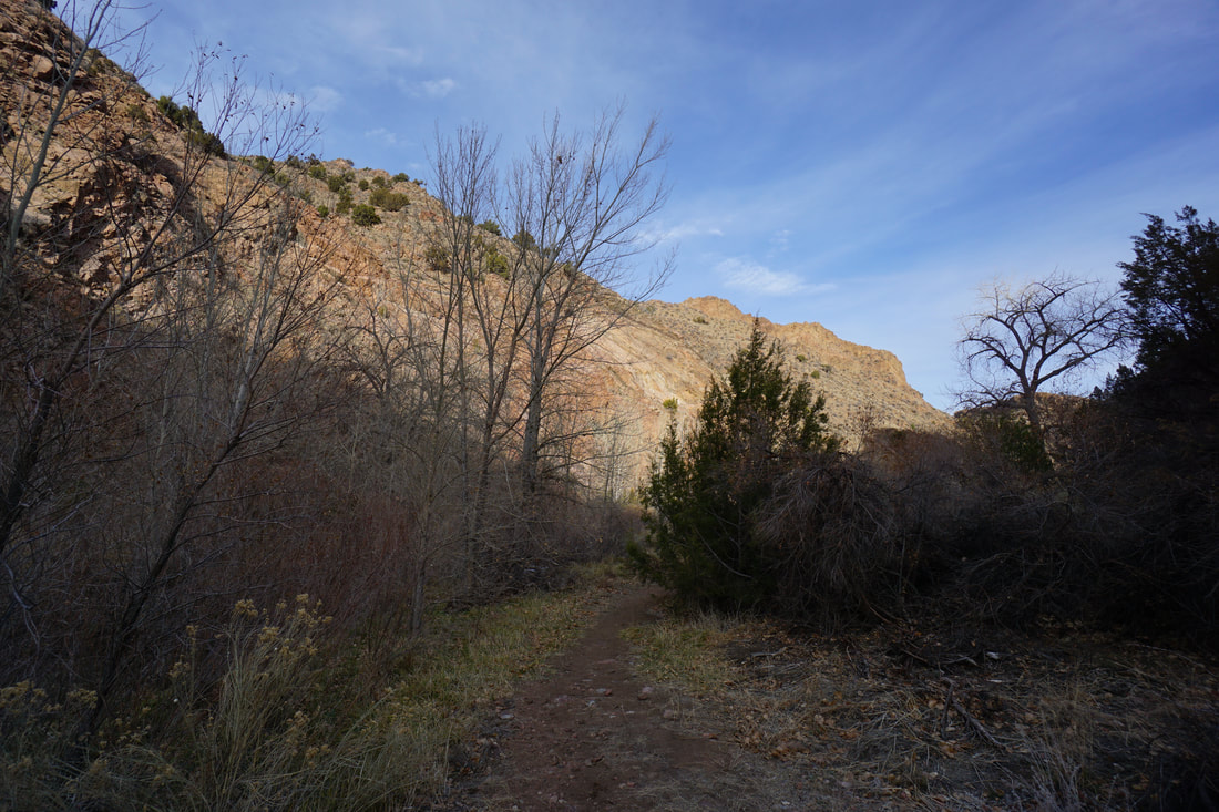
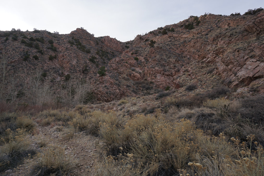
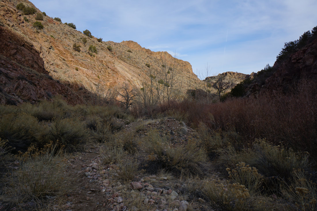
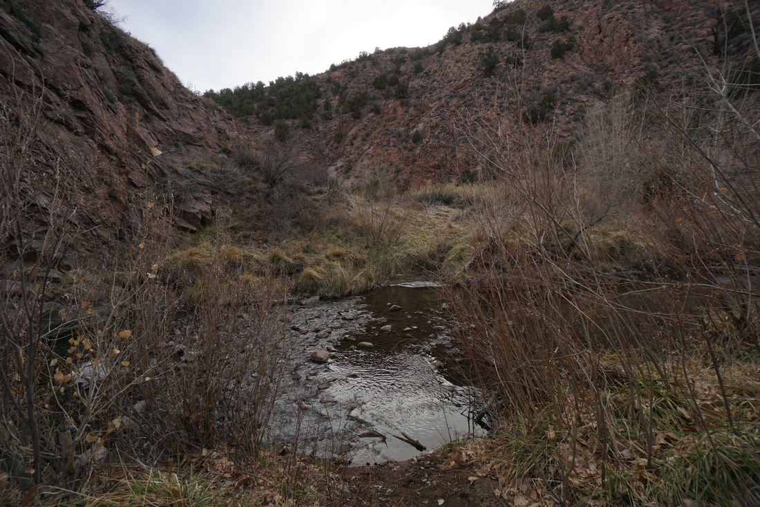
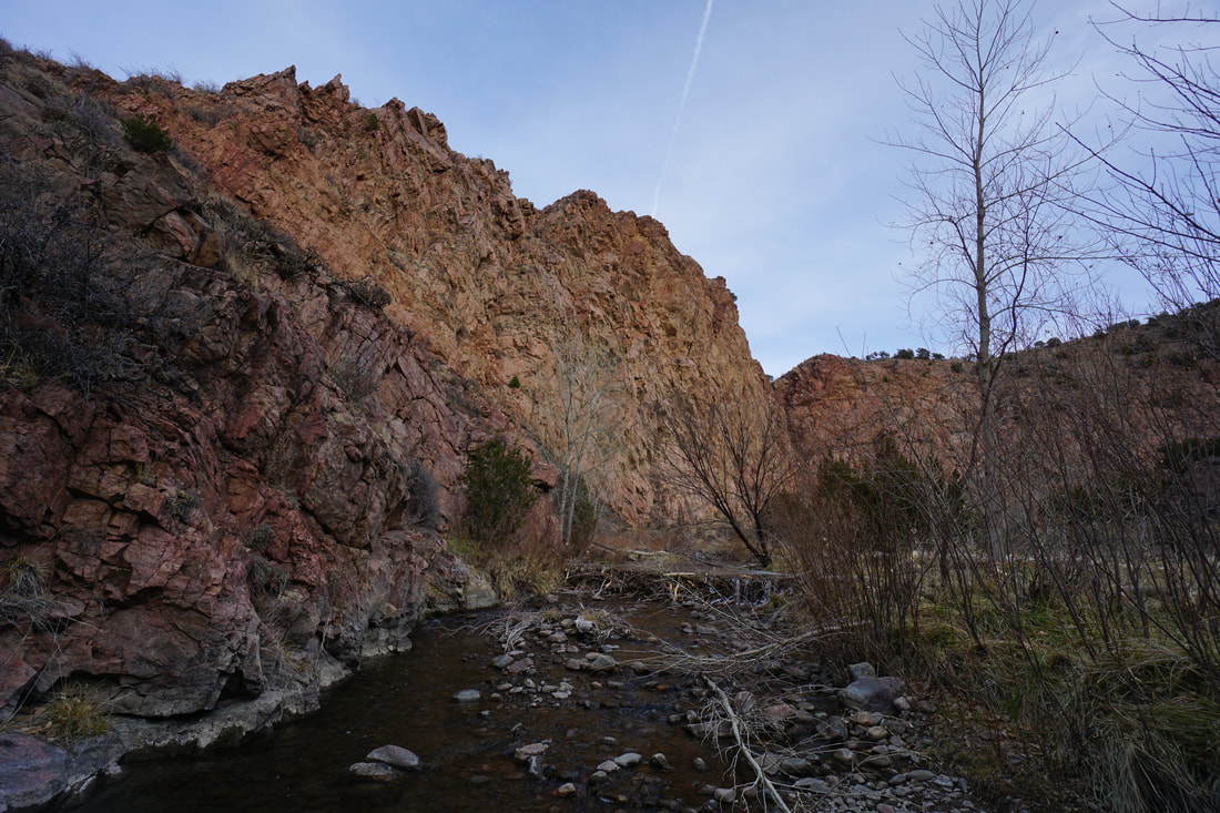
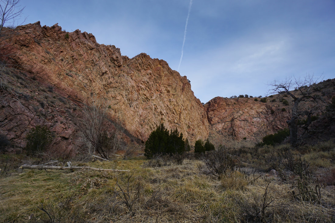
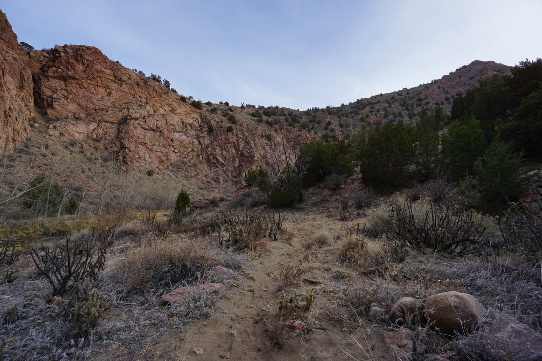
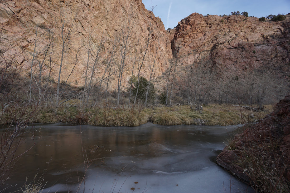
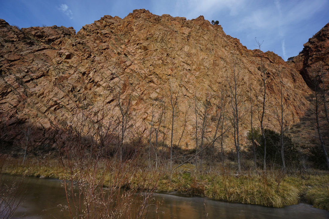
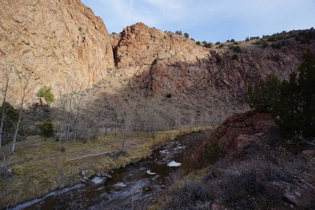
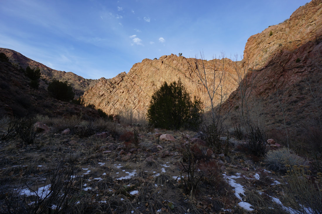
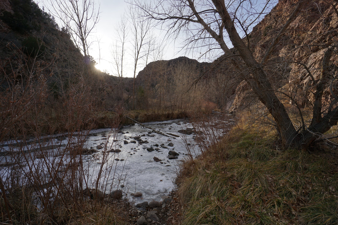
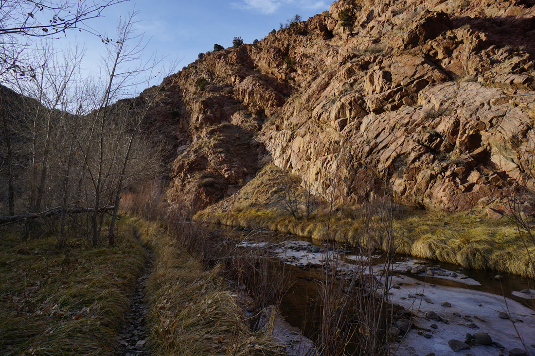
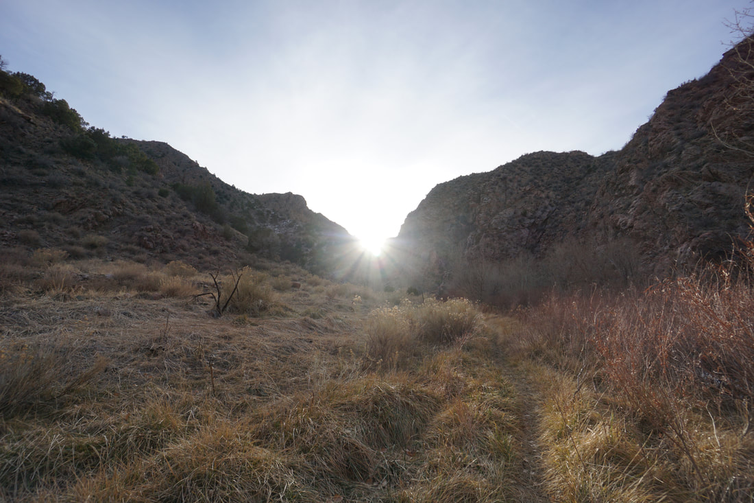
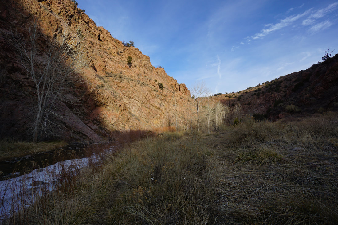
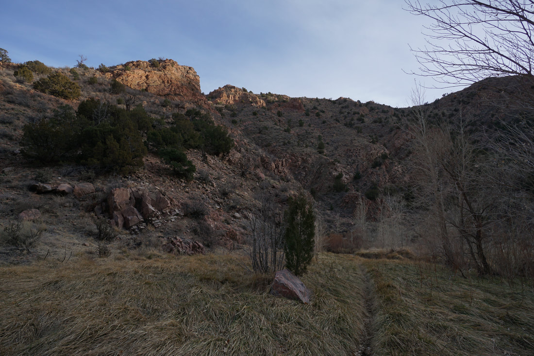
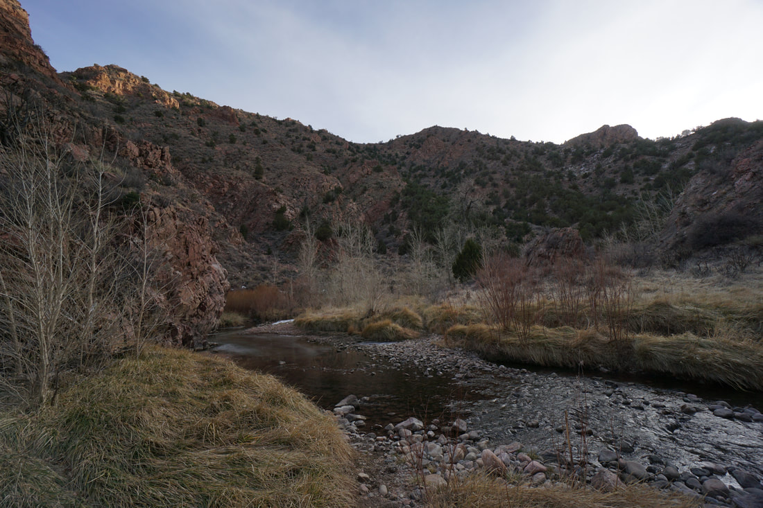
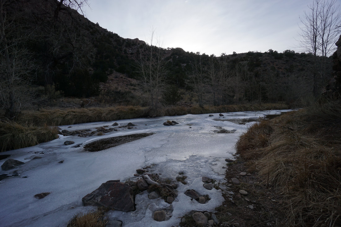
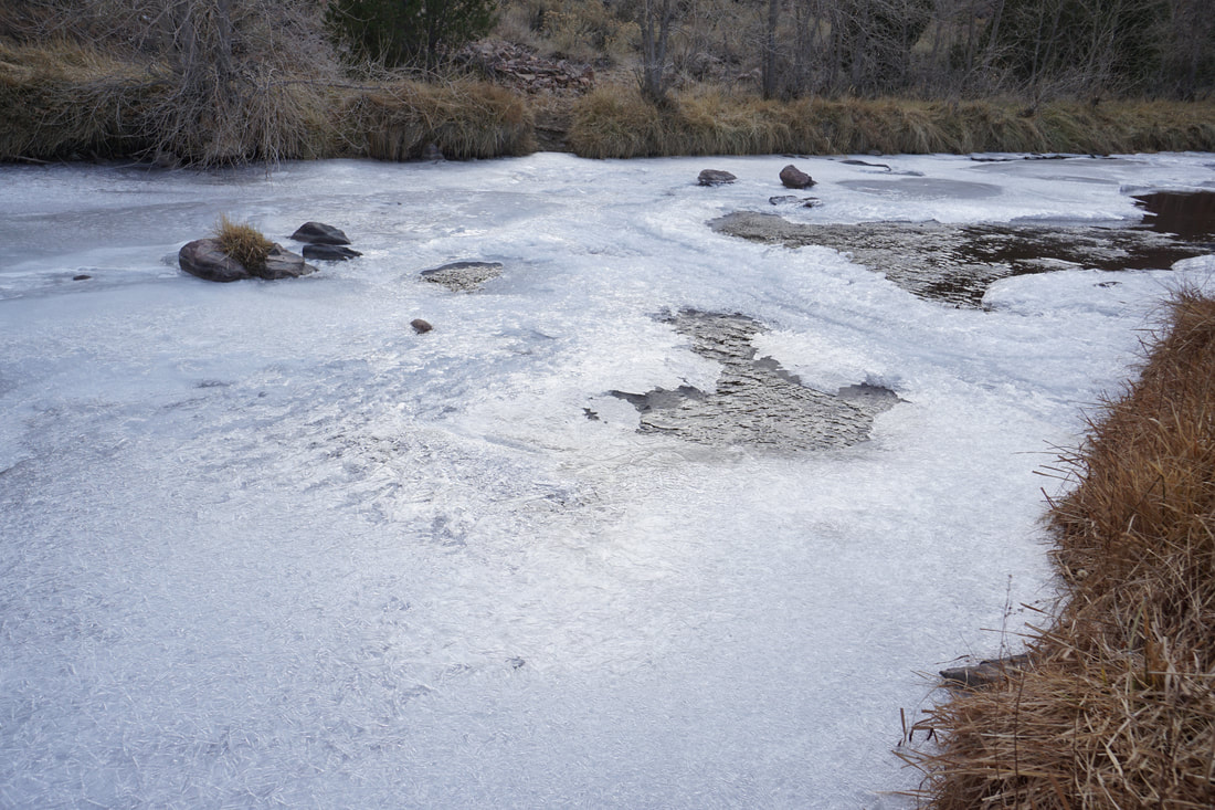
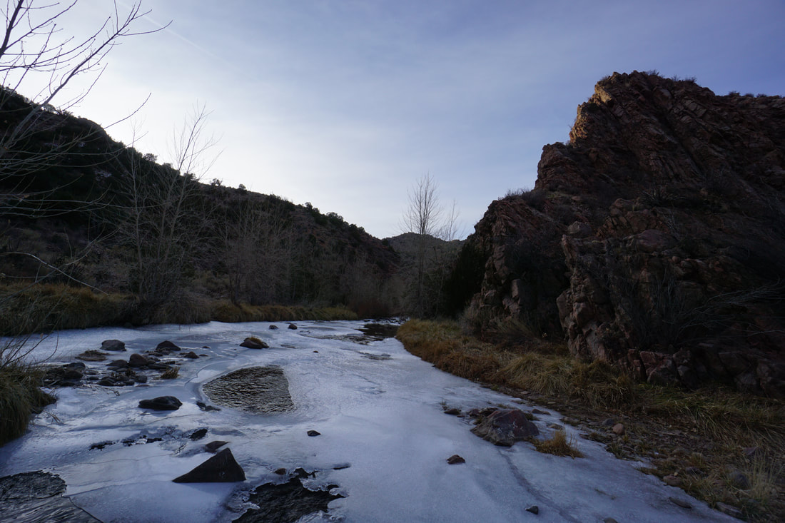
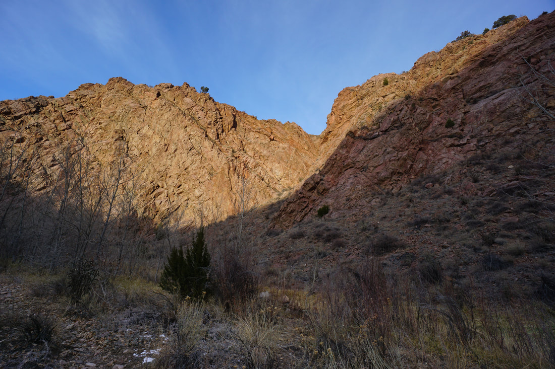
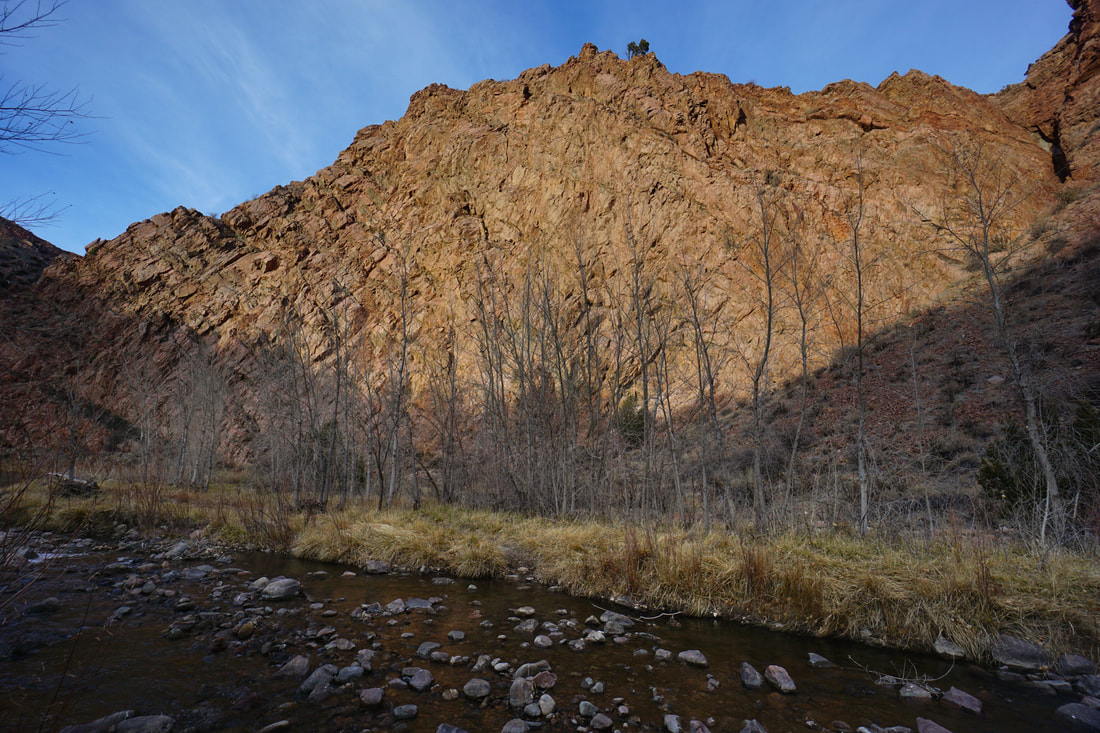
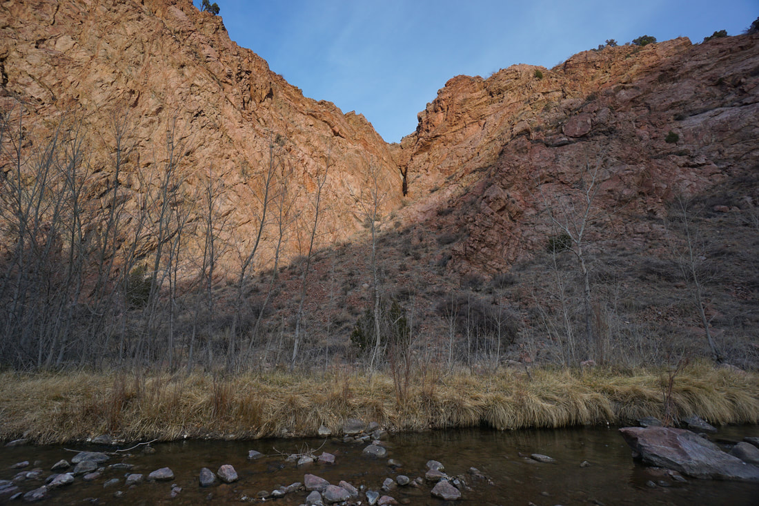
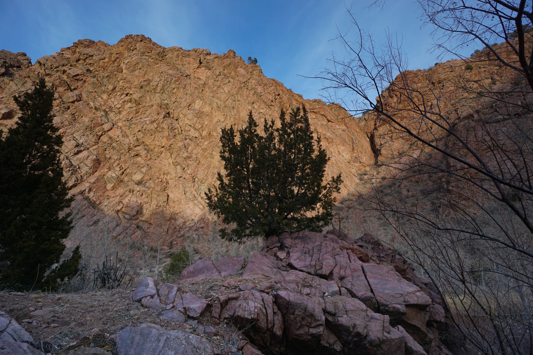
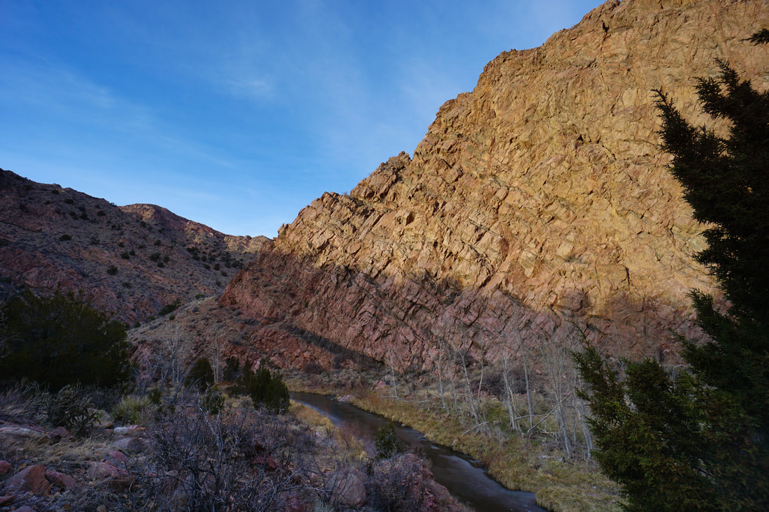
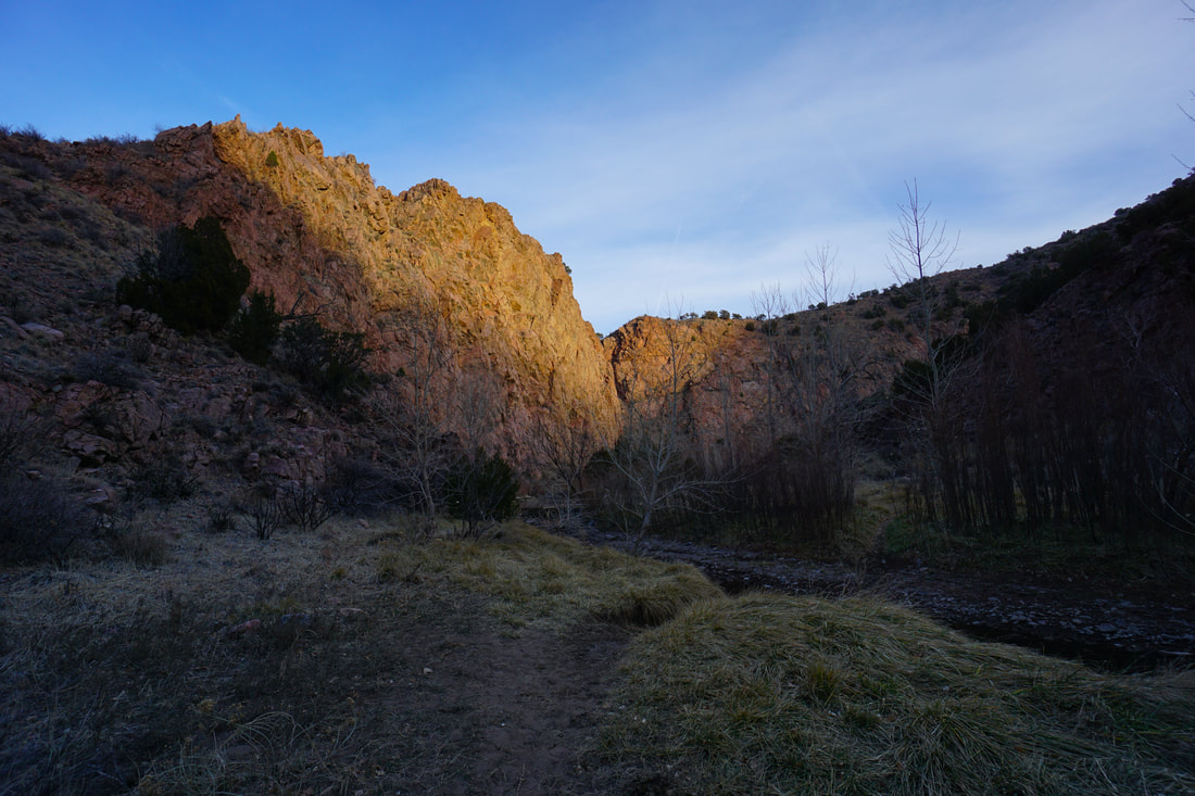
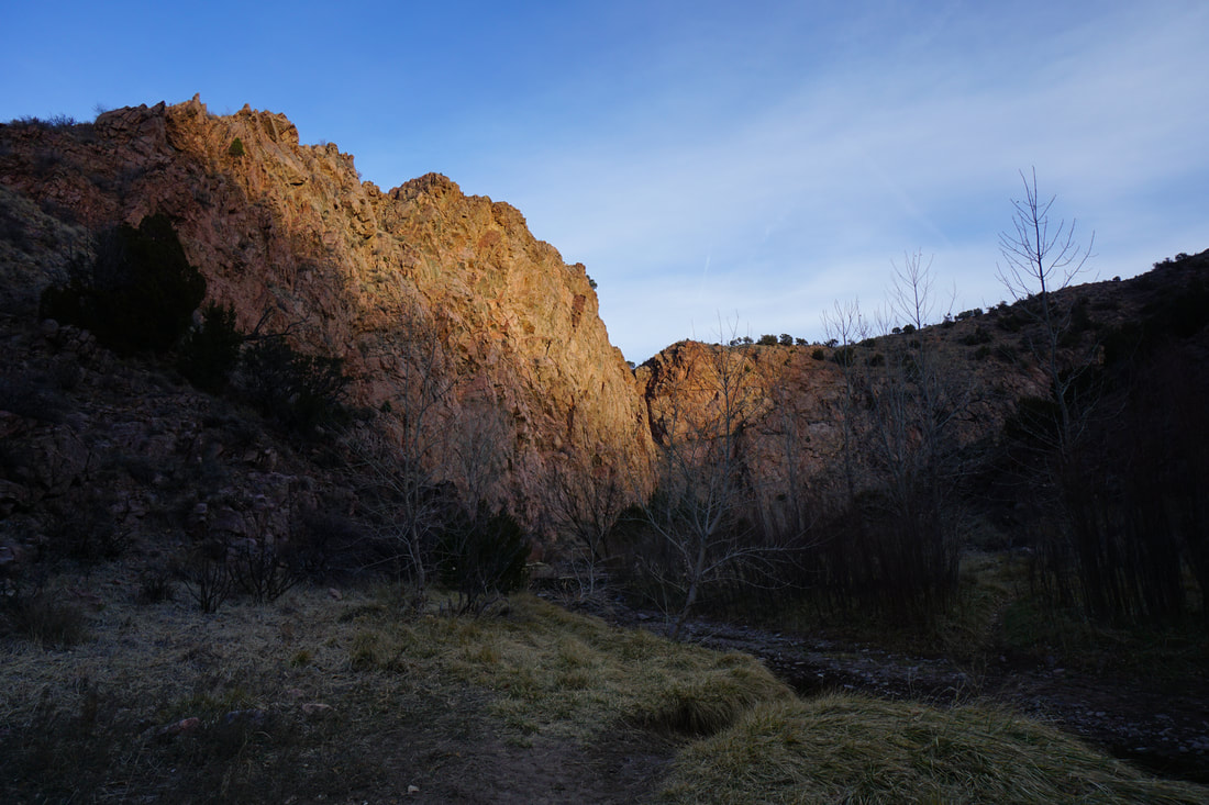
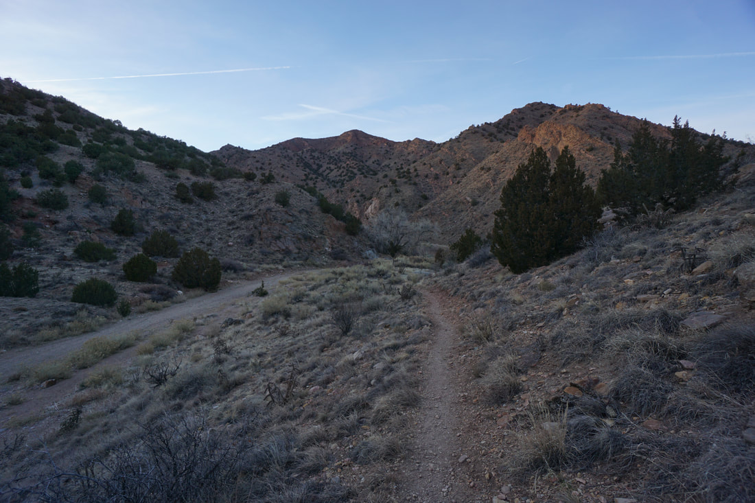
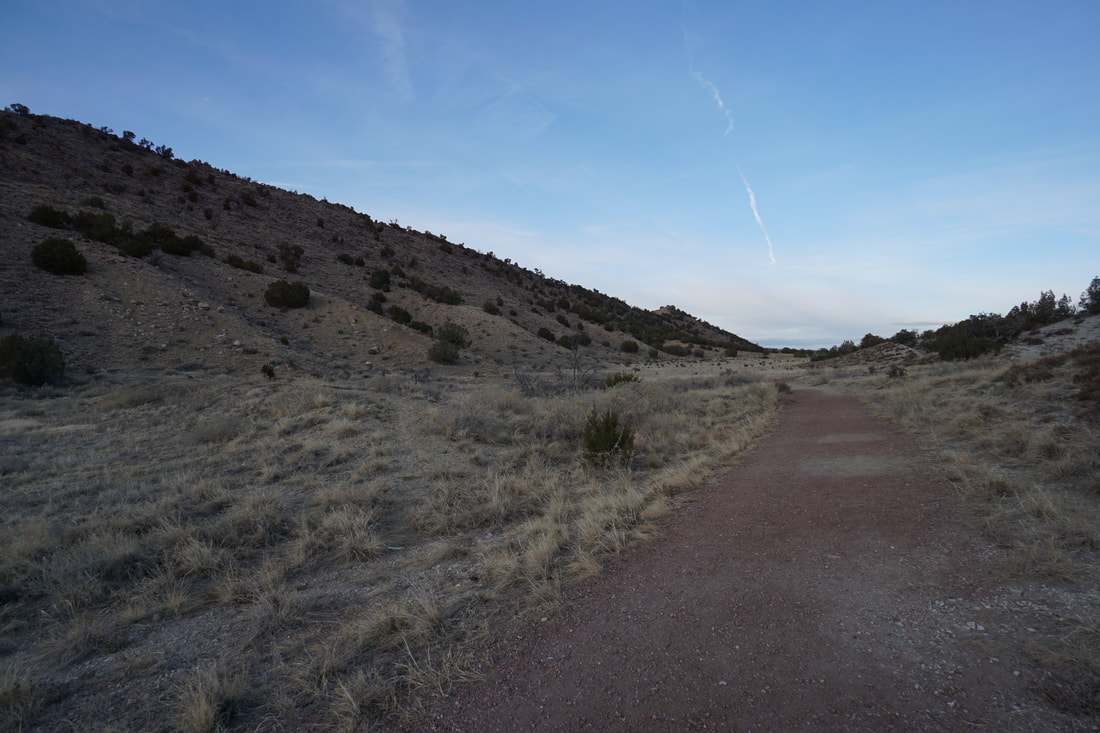
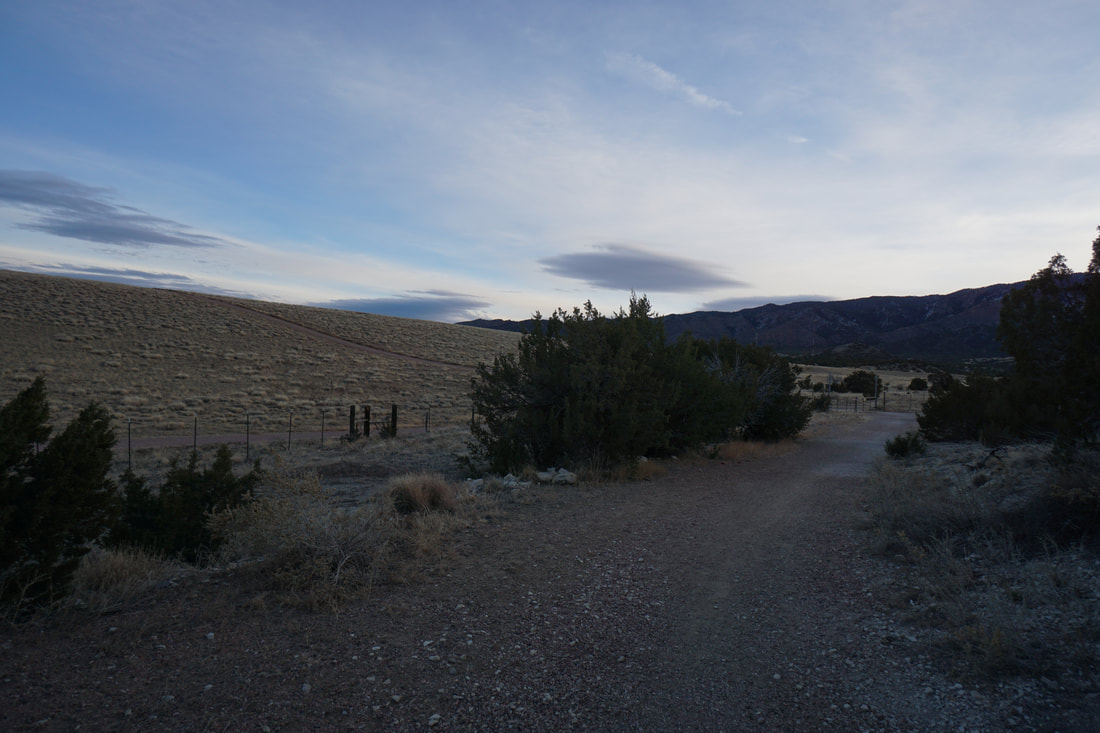
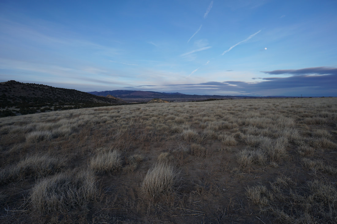
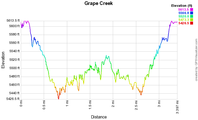
On maps, it looks like there should be access to the Grape Creek Trail from the Arkansas River. In reality there is private land surrounding the trail and the closest access point, as far as I can tell, is through Ecology Park and the Water Gap Trail. This is a beautiful hike and I highly recommend hiking this canyon in the early evening...in late December, early evening starts at about 2:30PM. The trail starts at the Ecology Park parking lot and follows the Water Gap Trail along the flat grasslands with nice mountain views and drops down to the western end of the park. Pass through a fence and you'll enter BLM Public Lands. The Water Gap Trail continues down to the gap in the hogback ridge a little more than half a mile from the trailhead. This is where the hike really gets good. The hogback is geologically fascinating and beautiful in the evening light as the red rock layers glow and shine. Follow the wash through the gap and down to Grape Creek. The actual trail bears to the right and climbs the hillside for a little ways but most people just follow the wash down to the creek. At the creek, you'll be surrounded by rugged canyon walls in every direction. You are also confronted by your first...of many, many creek crossings. They are generally crossable when water levels are low, but in the spring or early summer you may find yourself wading across the creek multiple times. In the winter the creek is often covered in a thin layer of ice that you should NOT trust. Cross the creek and turn left into the narrow canyon. From this point, you can hike as far as you wish. I hike it for about 1 mile until I reached a creek crossing that was uncrossable and dangerous with ice. For some perspective...it's about 3.5 miles from this point to the Temple...typically accessed by the Temple Trail. The narrow canyon winds along follow the creek and the Grape Creek Trail cuts across the creek and through the grassy, sometimes overgrown shoreline. Each creek crossing is like a little puzzle that you have to figure out, but it's generally easy to find your way. Other people have been through here and left clues as to the easiest crossings. There is a section after the first full bend where you need to climb over a ridge rather than cross the river. This is short segment gives you a nice view of the canyon but drops down into an abandoned camp and feels a bit sketchy. From this point on the trail is easy to follow. Temple Canyon and the Grape Creek Trail is a nice little adventure. The access is just on the outskirts of Cañon City and explores a rugged canyon system that is often overlooked except by locals. |
|