|
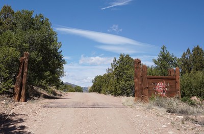
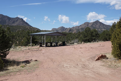
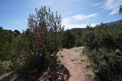
DIRECTIONS: Getting to Temple Canyon Park is part of the adventure. From Cañon City head west on Hwy 50, before you leave the city, turn south on 1st Street. Turn right on County Road 3 (Temple Canyon Road). Temple Canyon Road starts off paved but soon turns to a good dirt road. Follow Temple Canyon Road for about 7 miles. The road is generally in good shape but it gets narrow and steep and there are some rocky sections. Once you reach the entrance to Temple Canyon Park, the road gets far worse. After a few minutes of driving past the entrance, turn right (north) towards Temple Ridge Campground. Pass the 1st campsite and continue as the road curves around the west and ends at the 2nd Campsite. Just before the campsite you'll see the Temple Trailhead. SUV or 4WD highly recommended.
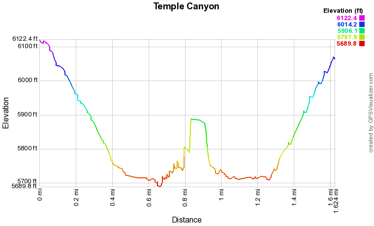
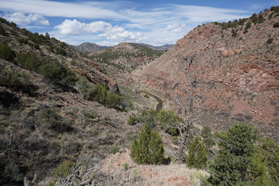
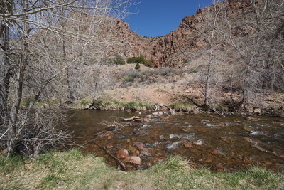
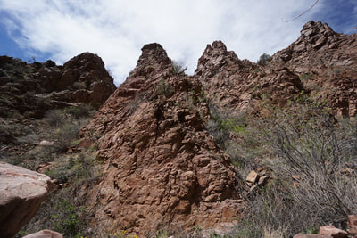
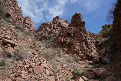
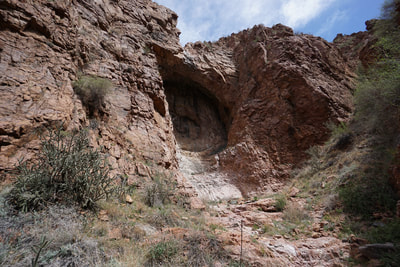
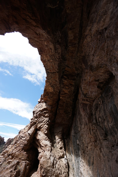
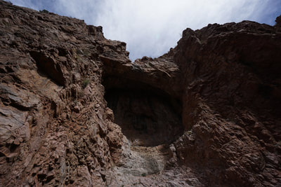
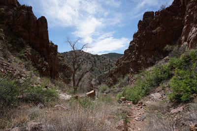
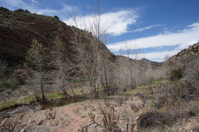
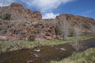
The trail to "The Temple" is a mini religious experience. The trail is short (less than 2 mi round trip) but it does descend and regain about 600 feet of elevation, making it more than just an easy nature walk. Temple Canyon itself is incredibly beautiful as is Grape Creek and the oasis that the trail traverses as the bottom of the canyon. The Temple is a grand amphitheater tucked away in a narrow rocky canyon and entering the canyon feels like you are entering sacred ground.
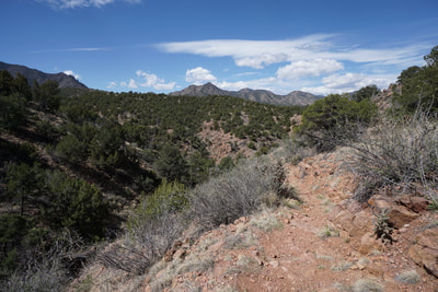
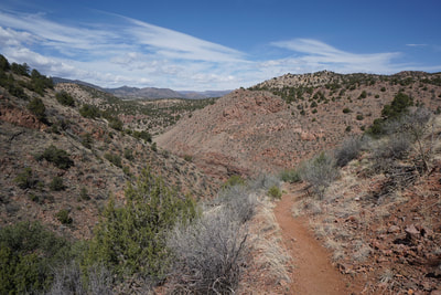
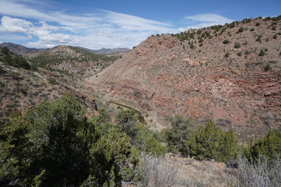
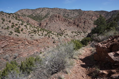
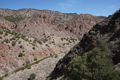
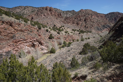
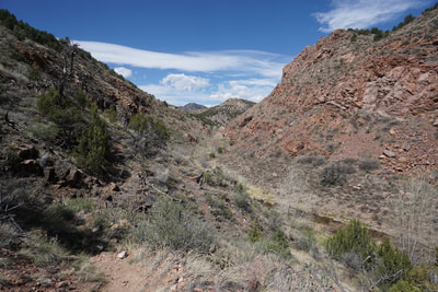
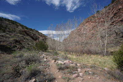
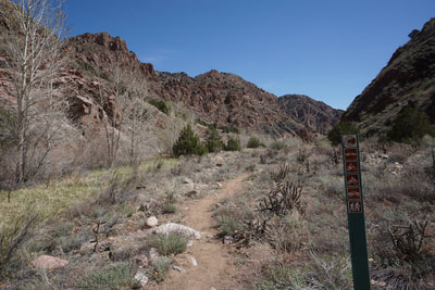
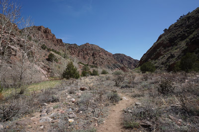
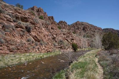
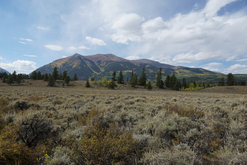
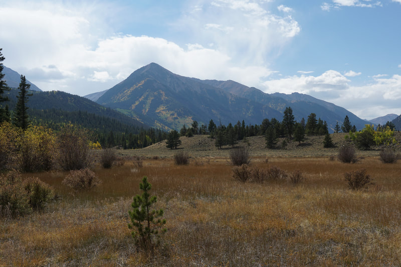
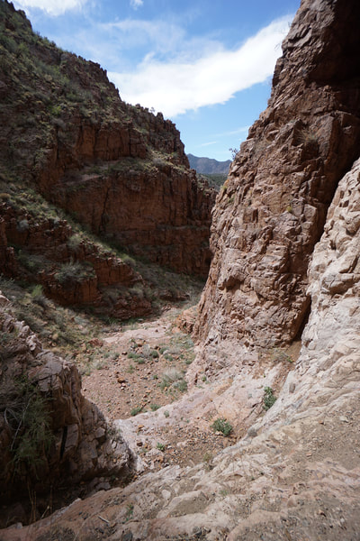
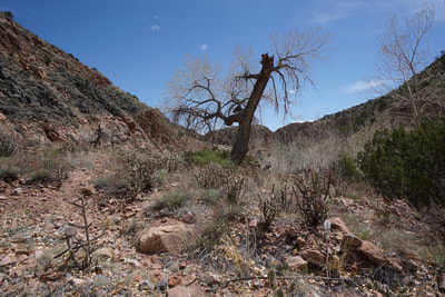
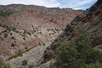
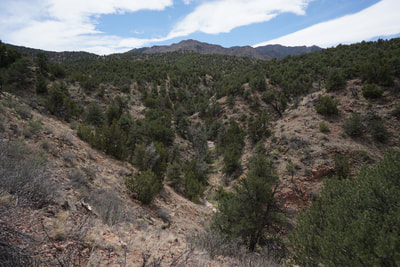
From the trailhead follow the well established trail as it turns north and heads down into Temple Canyon. The canyon views are amazing for the entirety of this hike and the views to the west and south of the Wet Mountains offer an impressive contrast to the reddish brown of Temple Canyon. As you descend look across the canyon for the round depression in the rock wall, that is the Temple. Continue down the sometimes steep trail until you reach the canyon floor. At the small trail sign, turn right and follow the trail east as you parallel Grape Creek. The trail ends at Grape Creek, and requires you to cross the creek. If water levels are very low, you may be able to hop across rocks and branches. More likely however, you will have to wade across the creek. The creek is typically slow moving, gentle, and the water depth is generally below the knees...it is cold though...very cold... The trail starts again on the other side and heads straight to the gates of the narrow side-canyon. The towering walls and increased breeze at the mouth of the canyon will give you chills as you climb deeper into the canyon. When you reach a fork in the trail, head to the right and climb a typically dry waterfall. Continue through the slot canyon until you reach the Temple. The Temple is amazing to look at, but climb up into the amphitheater to get the full experience. This truly is a special place. The hike back follows the same route and don't forget to save a little energy for the hike back out of the canyon. This canyon is best visited in the Spring or Fall, as I'd image the hike out of the canyon would be oppressive in the heat of summer. Luckily it is short and you get to cool off as you cross Grape Creek. |
- HOME
- ABOUT
-
HIKES BY REGION
-
NATIONAL PARK HIKES
- BENT'S OLD FORT NATIONAL HISTORIC SITE
- BLACK CANYON OF THE GUNNISON NATIONAL PARK
- COLORADO NATIONAL MONUMENT
- CURECANTI NATIONAL RECREATION AREA
- DINOSAUR NATIONAL MONUMENT
- FLORISSANT FOSSIL BEDS NATIONAL MONUMENT
- MESA VERDE NATIONAL PARK
- ROCKY MOUNTAIN NATIONAL PARK
- GREAT SAND DUNES NATIONAL PARK
- HOVENWEEP NATIONAL MONUMENT
- SAND CREEK MASSACRE NATIONAL HISTORIC SITE
- YUCCA HOUSE NATIONAL MONUMENT
- HIKES BY CATEGORY
- NEWS
- WEBCAMS
- $UPPORT GHC
- INTERACTIVE MAP
The Temple
Temple Canyon Park
Date Hiked: April 29, 2018
Distance: 1.7 mi (RT)
Elevation Gain: 600 ft
Elevation Min/Max: 5,690 to 6,122 ft
Trailhead Lat/Long: 38º 24' 35" N; 105º 18' 47" W
Managing Agency: City of Cañon City
Fee: No

