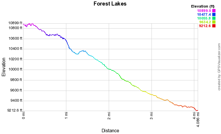
DUE TO GPS ISSUES, THIS PROFILE ONLY SHOWS A ONE-WAY TRAIL FROM UPPER FOREST LAKE AND HEADING DOWN TO THE EAST PORTAL TRAILHEAD
|
|
|
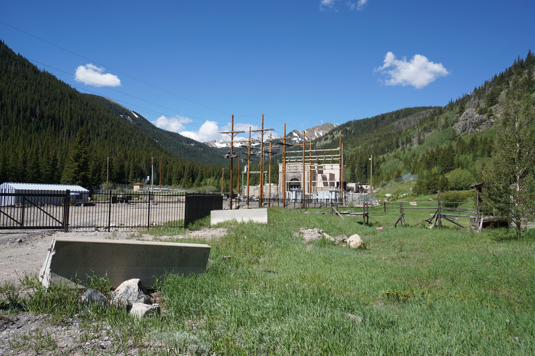
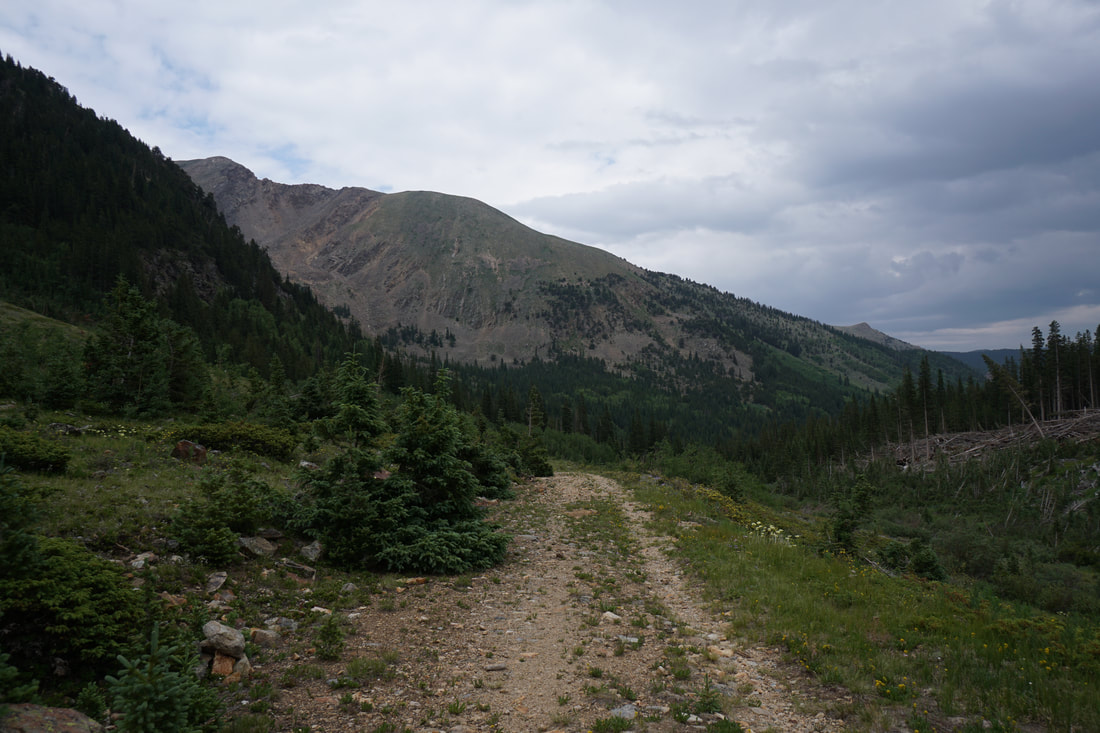
Directions: From Blackhawk/Central City head North on Route 119 to Rollinsville. Turn left onto East Portal Road (16) following the signs to the Moffat Tunnel. Stay on E. Portal Road until it ends at the tunnel and East Portal Trailhead. The road is dirt but very well maintained.
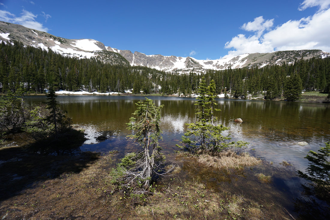
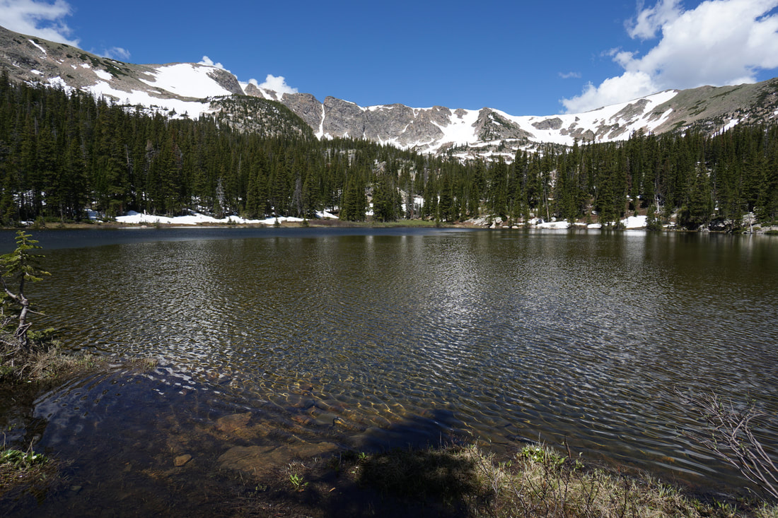
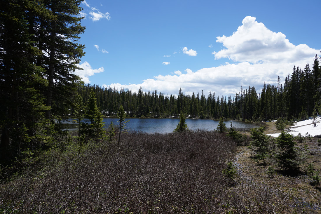
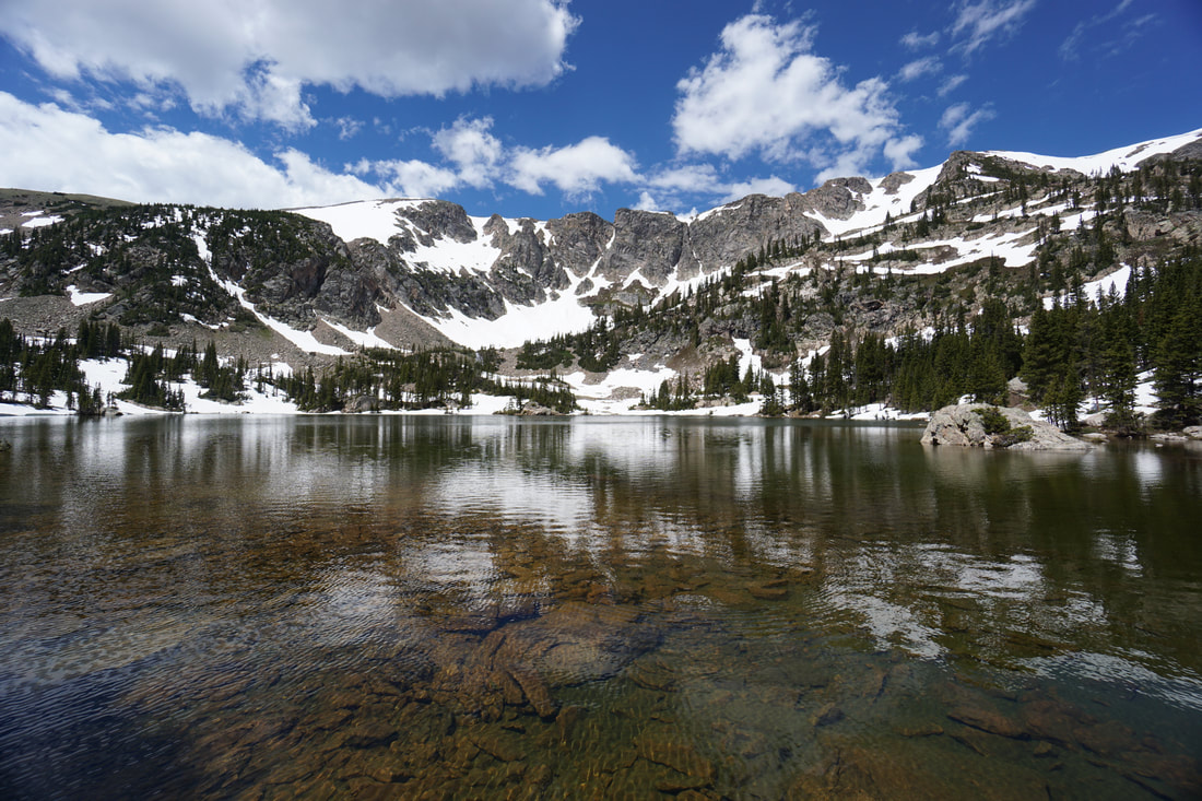
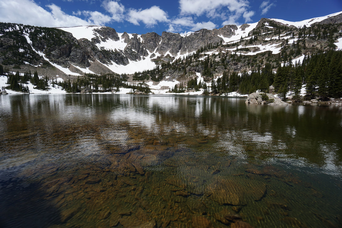
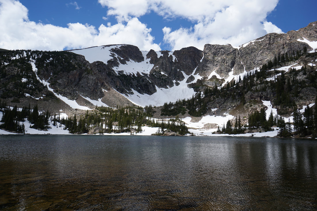
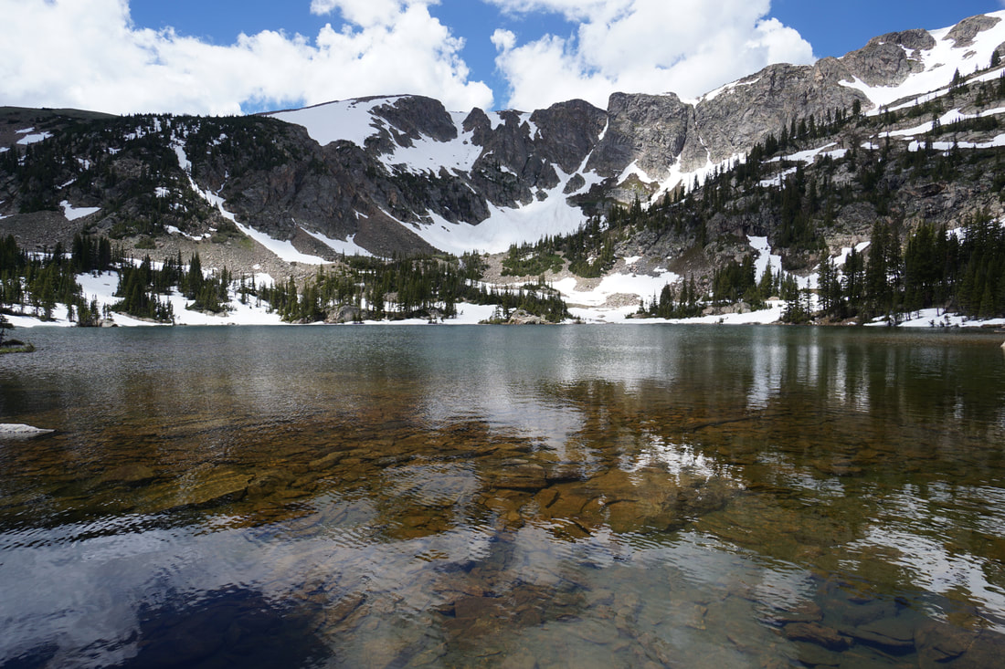
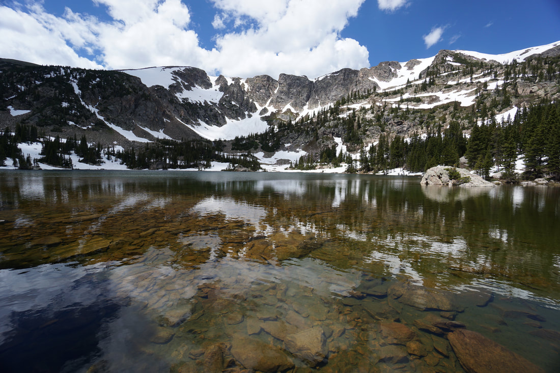
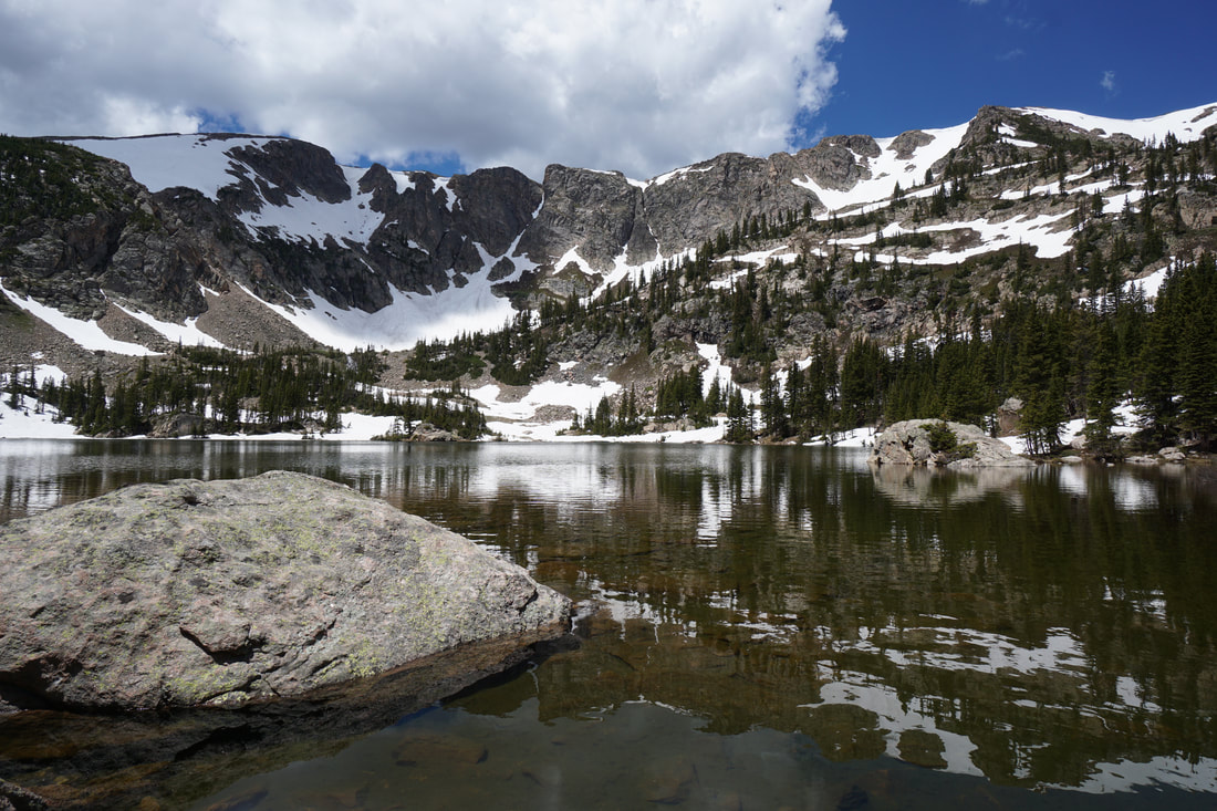
The Forest Lakes are two beautiful alpine lakes nestled against the Continental Divide in the James Peak Wilderness Area. These lakes are very popular in the summer so hike them midweek and get an early start. Forest Lake is beautiful and serene and Upper Forest Lake is stark and wondrous. Together, they make for an incredible Front Range day hike.
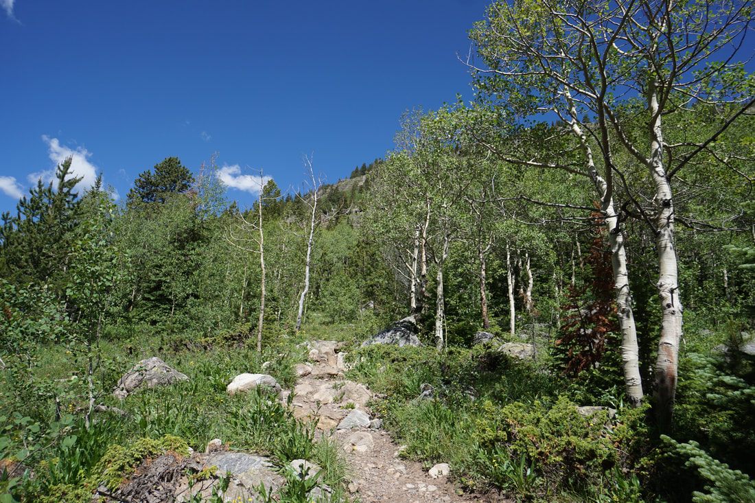
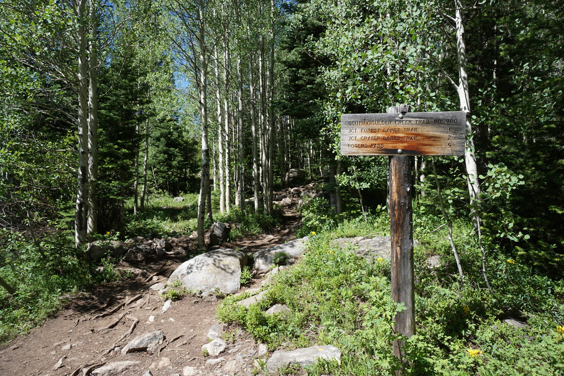
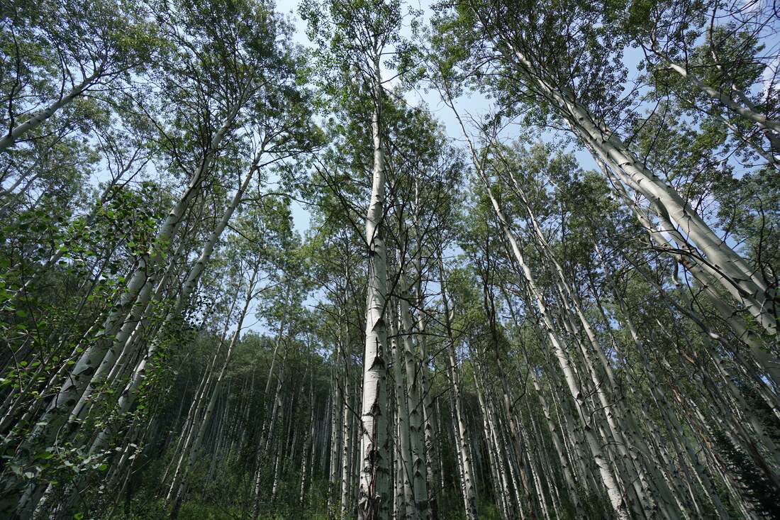
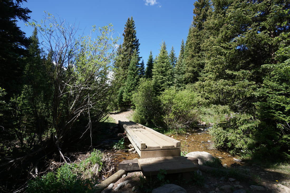
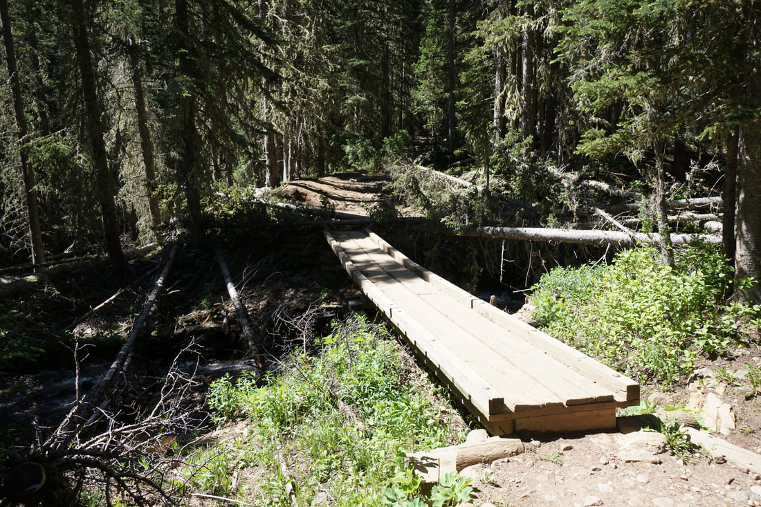
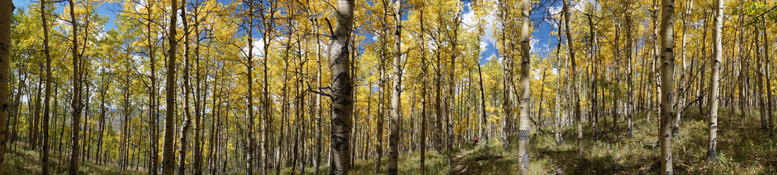
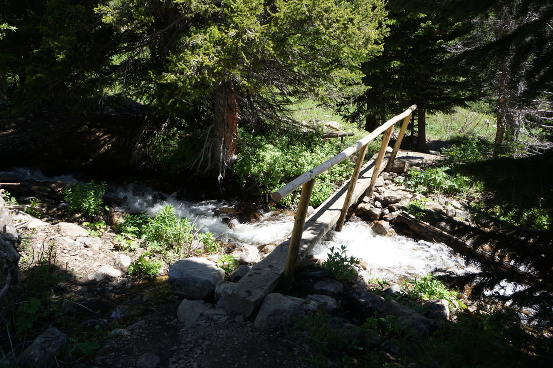
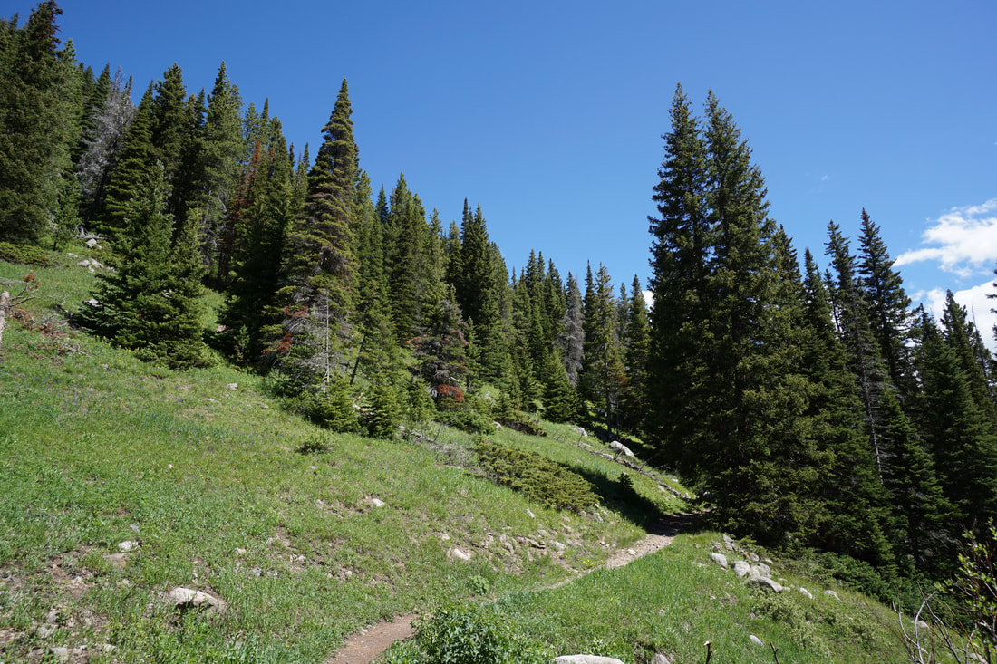
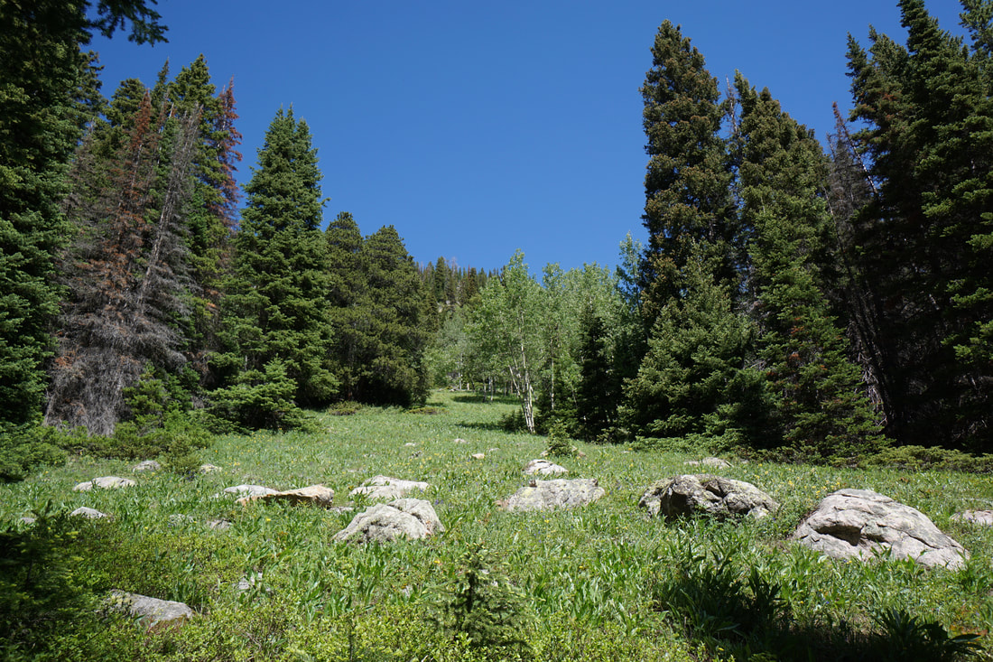
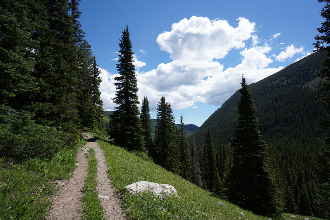
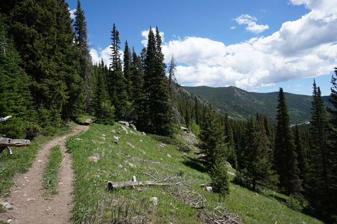
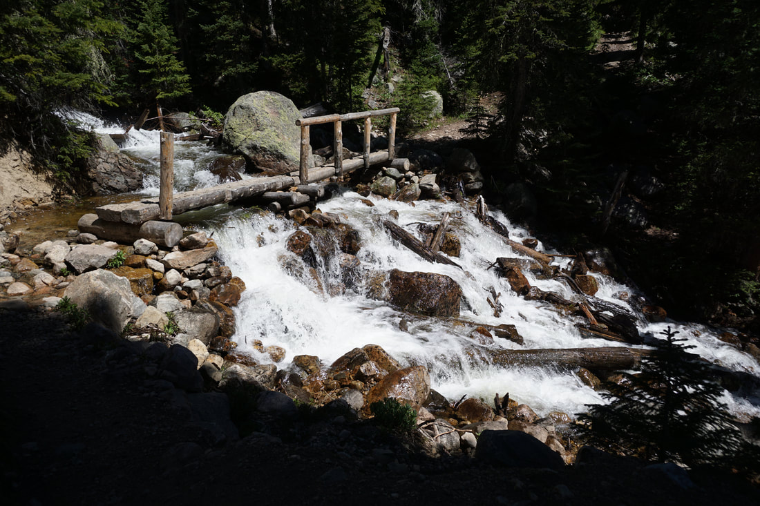
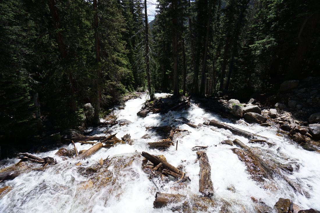
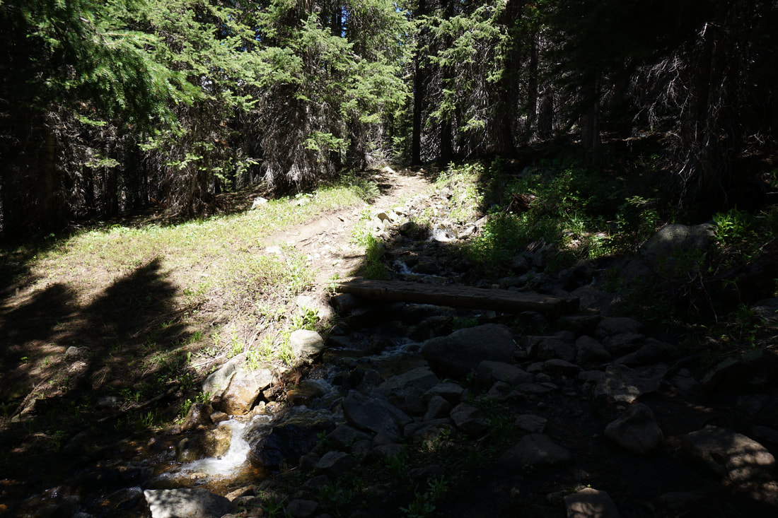
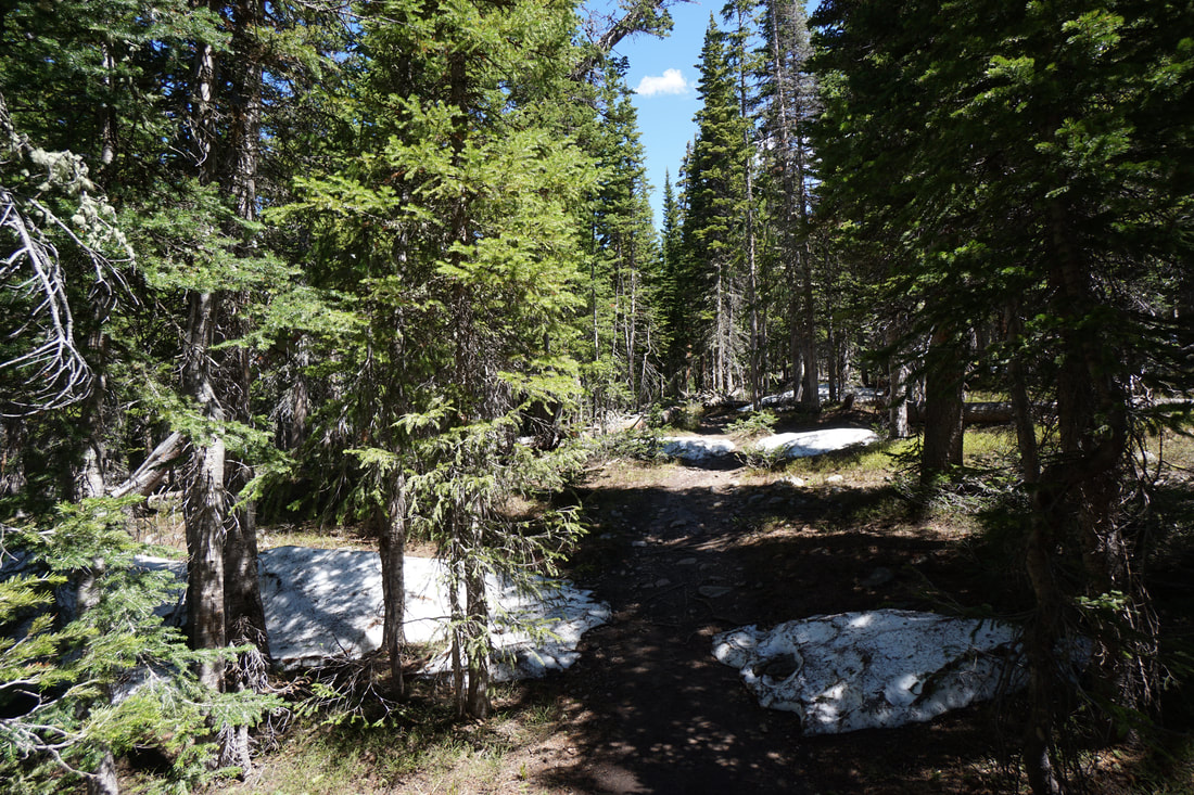
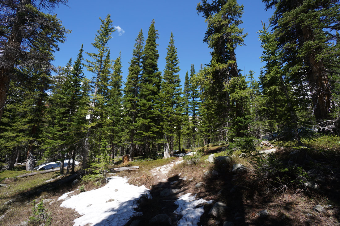
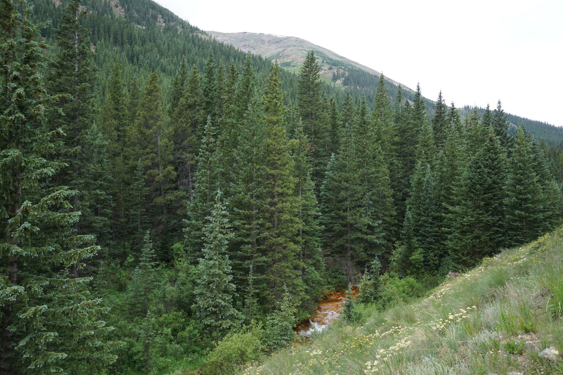
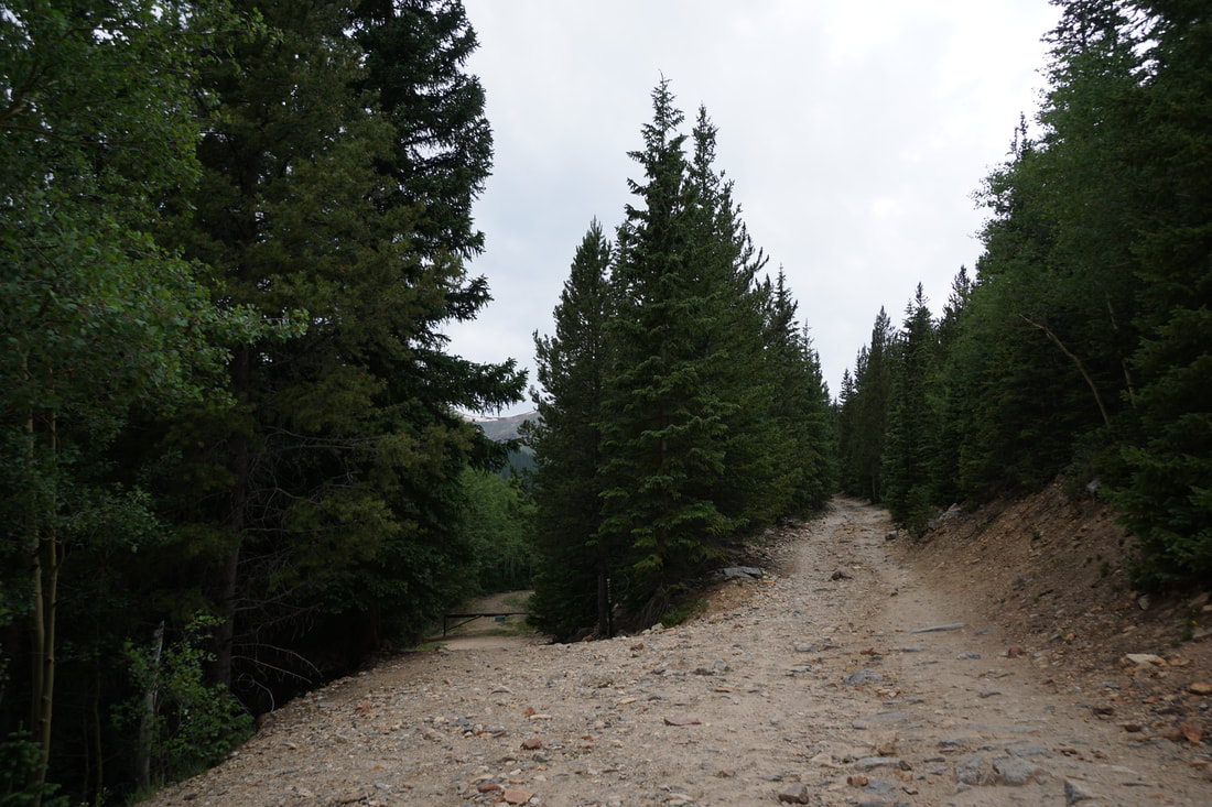
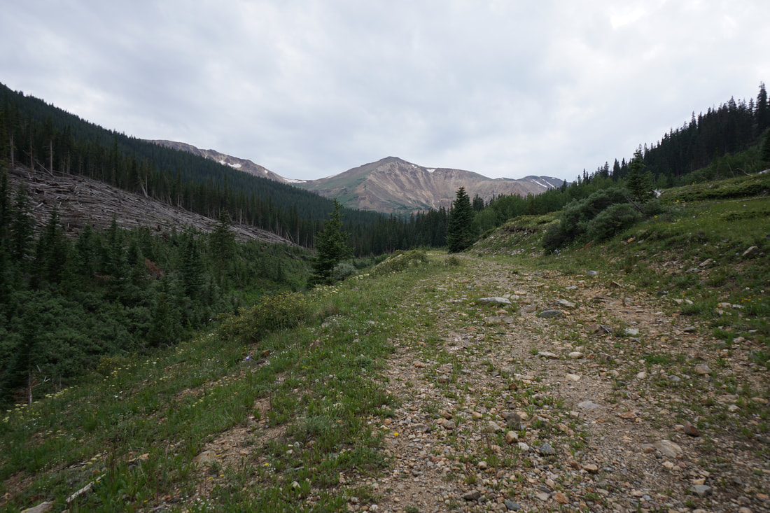
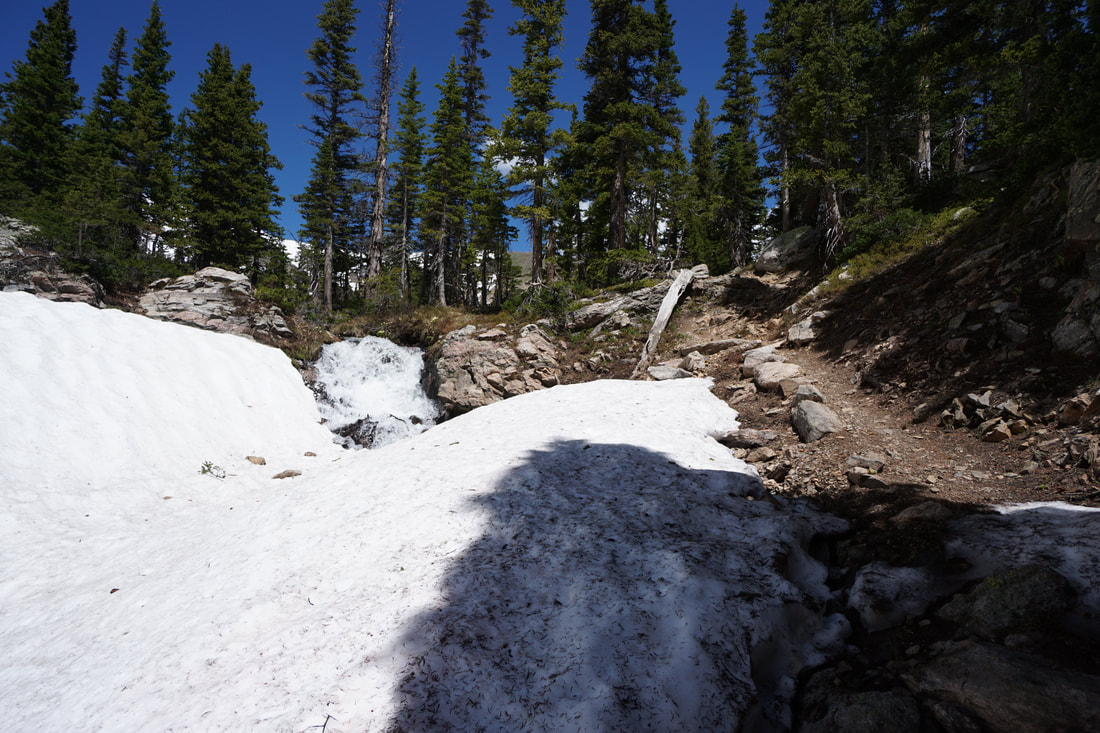
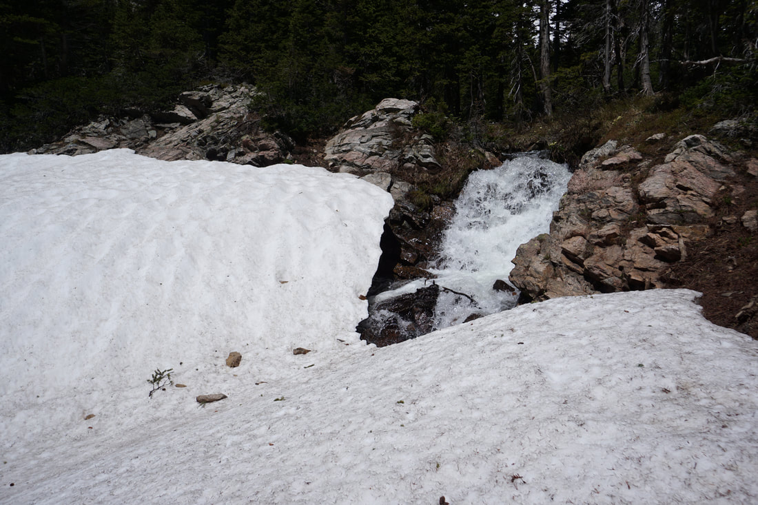
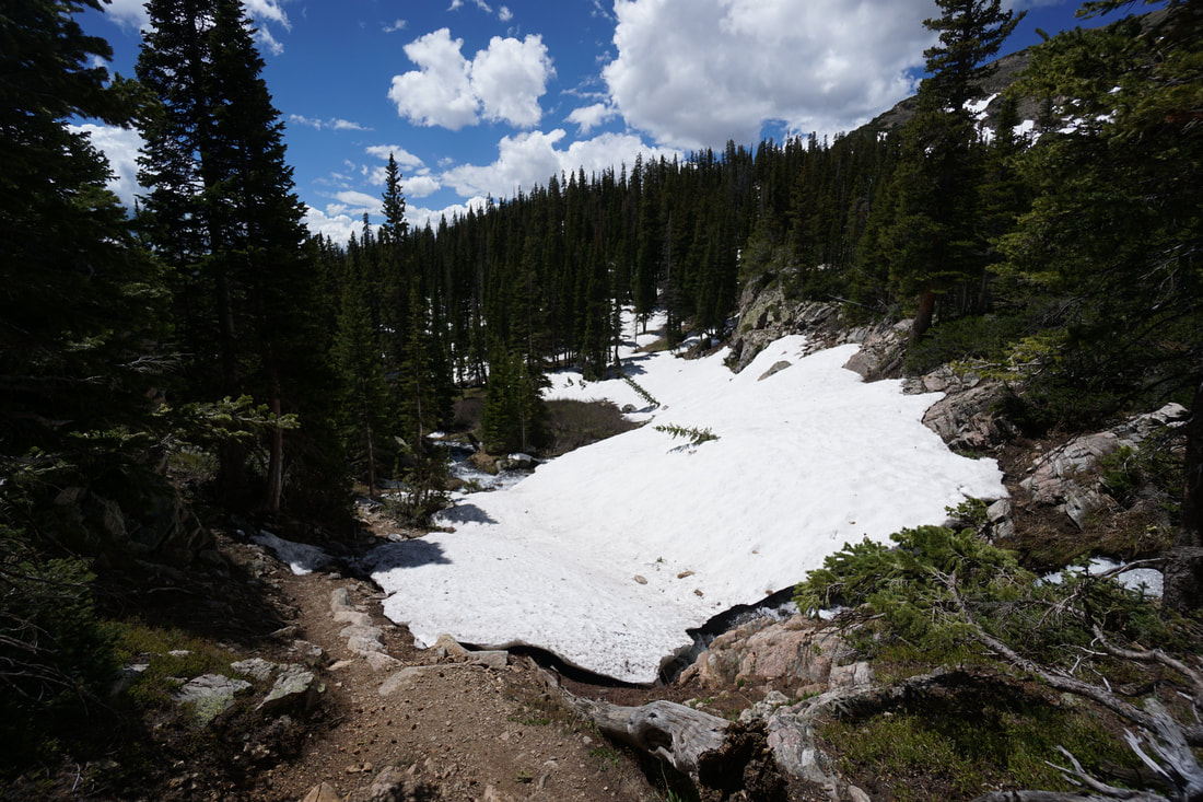
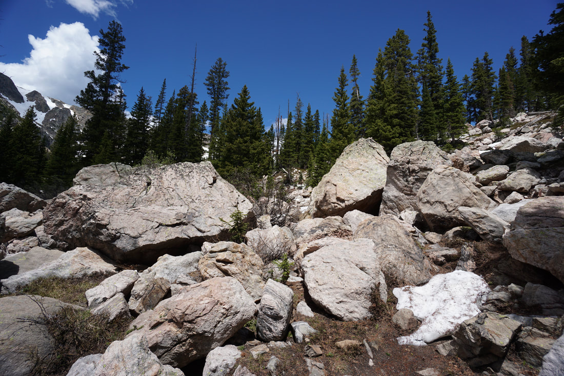
The trail starts from the East Portal Trailhead and follows the South Boulder Creek Trail west into the James Peak Wilderness Area. The first mile of the hike is gentle and a great warm up. The trail passes through aspen groves and pine forest with multiple footbridges and stream crossings. At just about the one mile mark you'll reach the junction with the Forest Lakes Trail, turn right. The Forest Lakes Trail starts by crossing a small bridge over a small creek and heads into the pine forest for a long steady climb on a broad switchback. The trail continues until you reach a larger bridge crossing an impressive cascading waterfall. This waterfall is amazing in the early summer and could be a destination in itself. Cross the bridge and continue through the forest as the trail turns to the north and the slope gets a bit steeper. This section of trail follows a creek for a little ways before veering uphill from the creek on a steady climb. Soon some alpine views will become apparent, though largely hidden by the forest. As you get closer to Forest Lake, the trail mellows as you approach he first lake. Lower Forest Lake is large and beautiful with a cascade at the far end. Follow the trail along the south shore of the lake. If you hike this trail early in the season while snow is lingering, you may have some trouble finding your way here. Look for a boardwalk and footbridge at the south western end of the lake if you can't find the trail. Cross the bridge and the trail starts climbing to the west. This section of trail is especially beautiful as you cross boulder gardens and a nice waterfall. Before too long the trail reaches the shores of Upper Forest Lake and you finally get an up-close view of the western wall in all of its glory. This lake is a stunning sight, one of the most scenic in the James Peak Wilderness. The enormous wall of the Continental Divide is absolutely massive and towers above the lake, The lake is larger than you might think so there are plenty of places to find some solitude and relax. When you are ready, retrace your steps and return along the same route. Snow lingers in this area well into July. If you hike in June you'll find few people but may have trouble route finding, I got a bit lost on the way back and wound up down-hill of the actual trail. Have a good GPS device with you and keep a keen eye out for the route and you should be fine. Hike in July or later and you shouldn't have any trouble staying on track. There are a number of great lake hikes starting from the East Portal, if you enjoy the hike to Forest Lake, be sure to check out the Crater Lakes as well. |
|