|
|
|
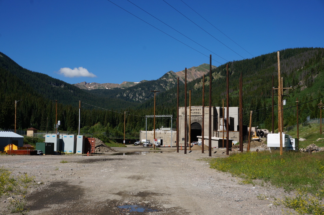
Directions: From Blackhawk/Central City head North on Route 119 to Rollinsville. Turn left onto East Portal Road (16) following the signs to the Moffat Tunnel. Stay on E. Portal Road until it ends at the tunnel and East Portal Trailhead. The road is dirt but very well maintained.
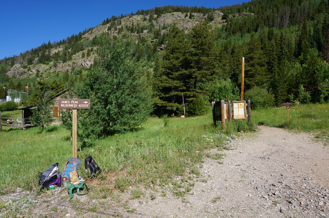
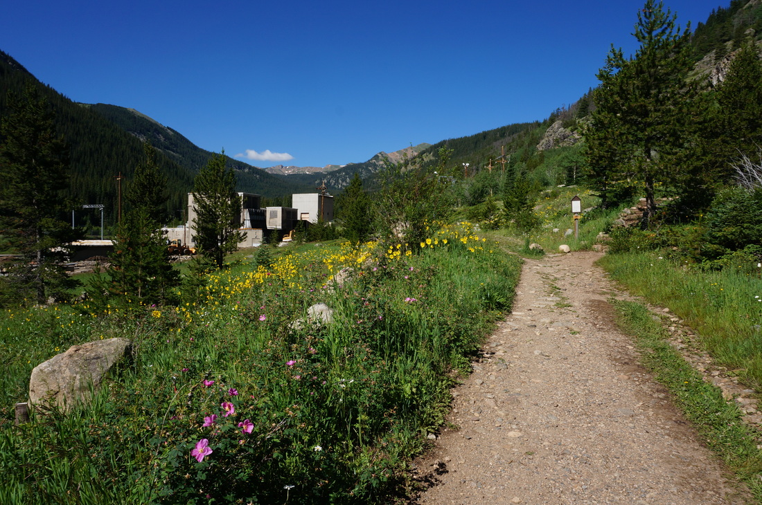
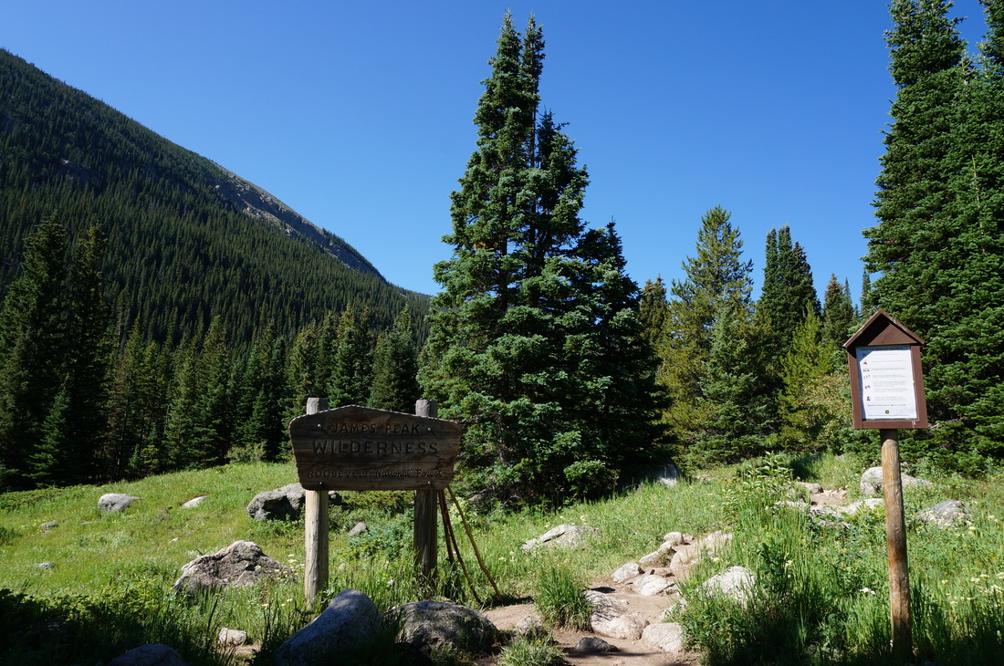
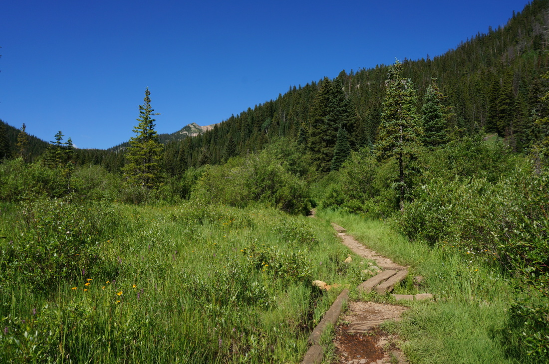
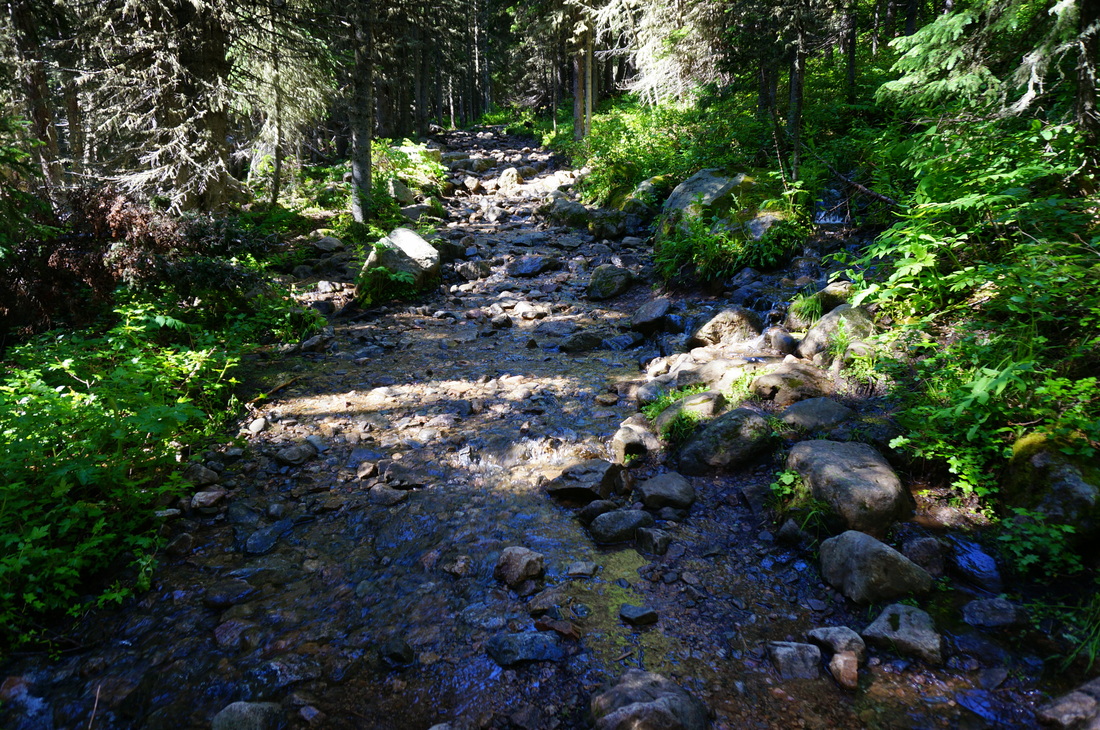
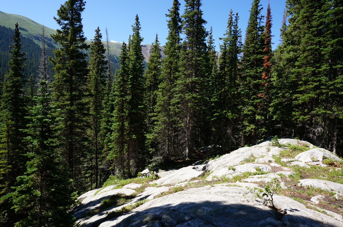
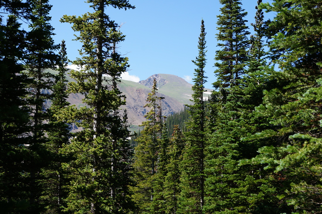
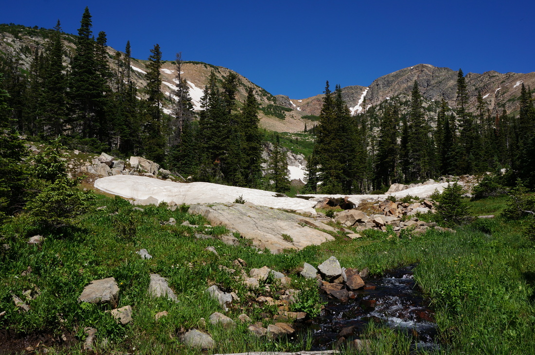
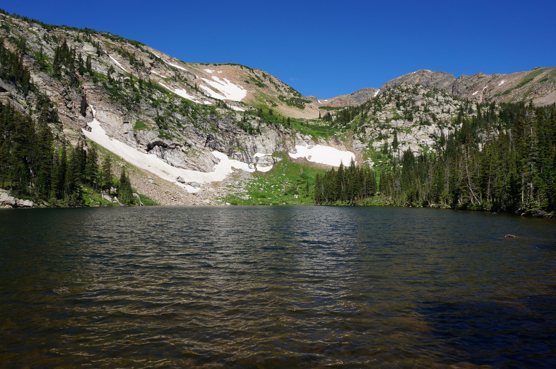
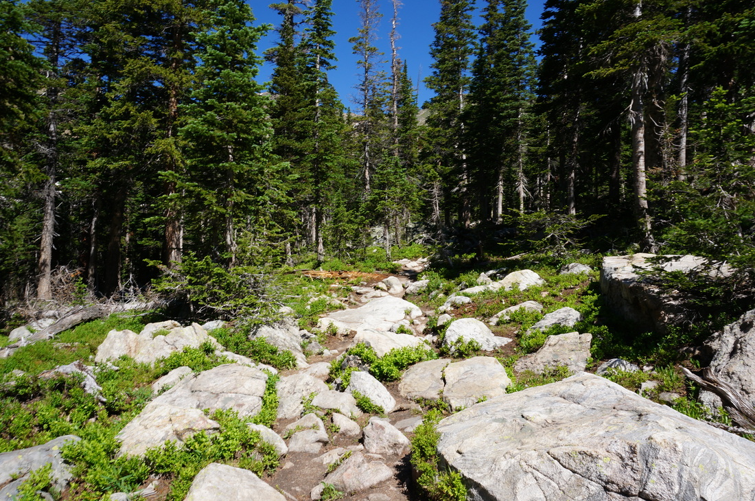
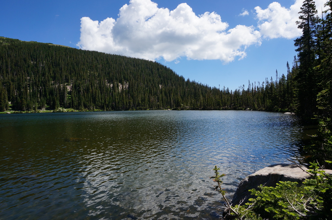
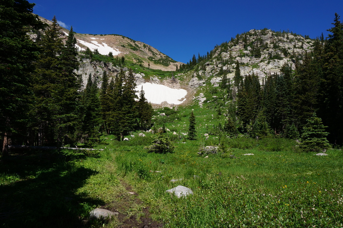
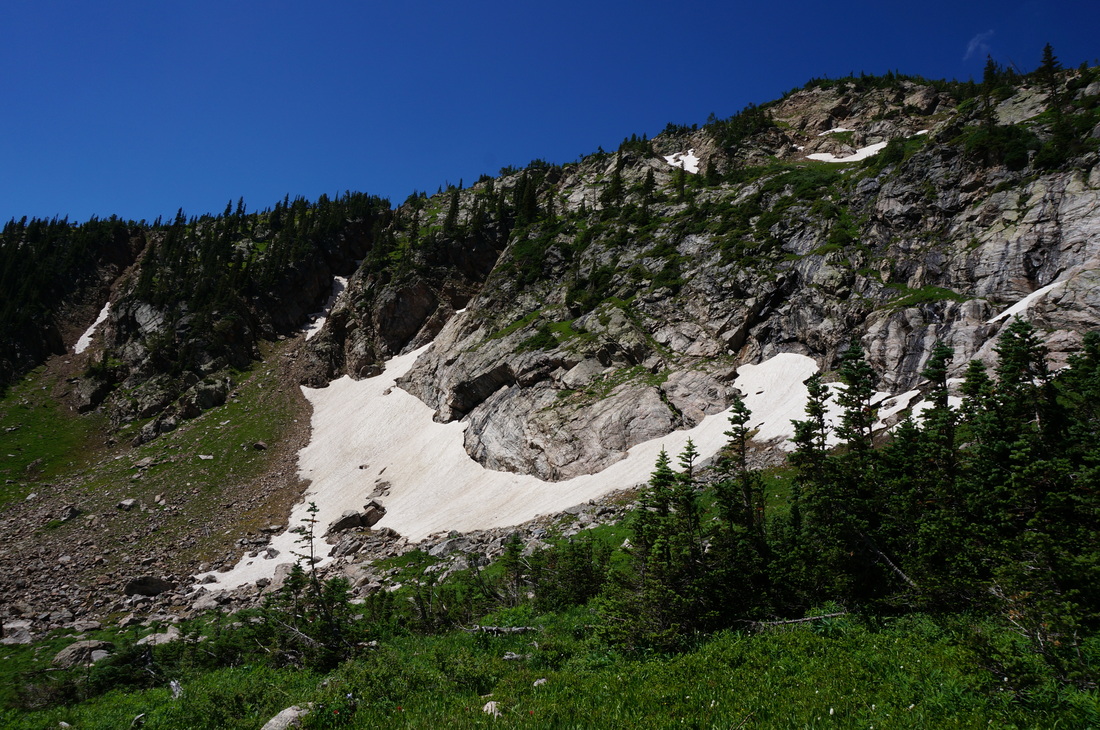
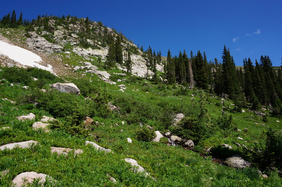
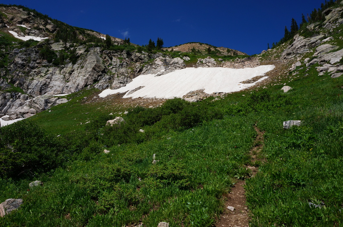
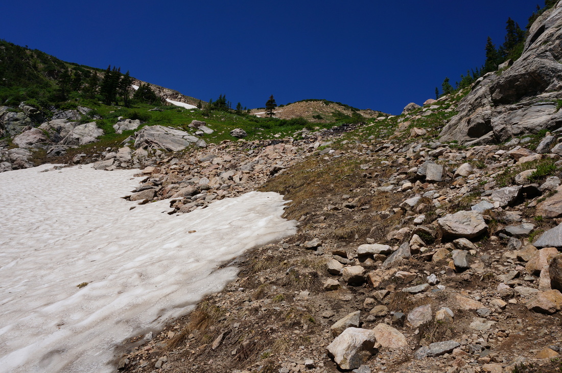
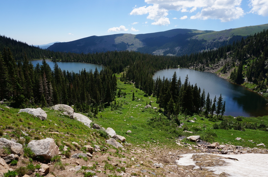
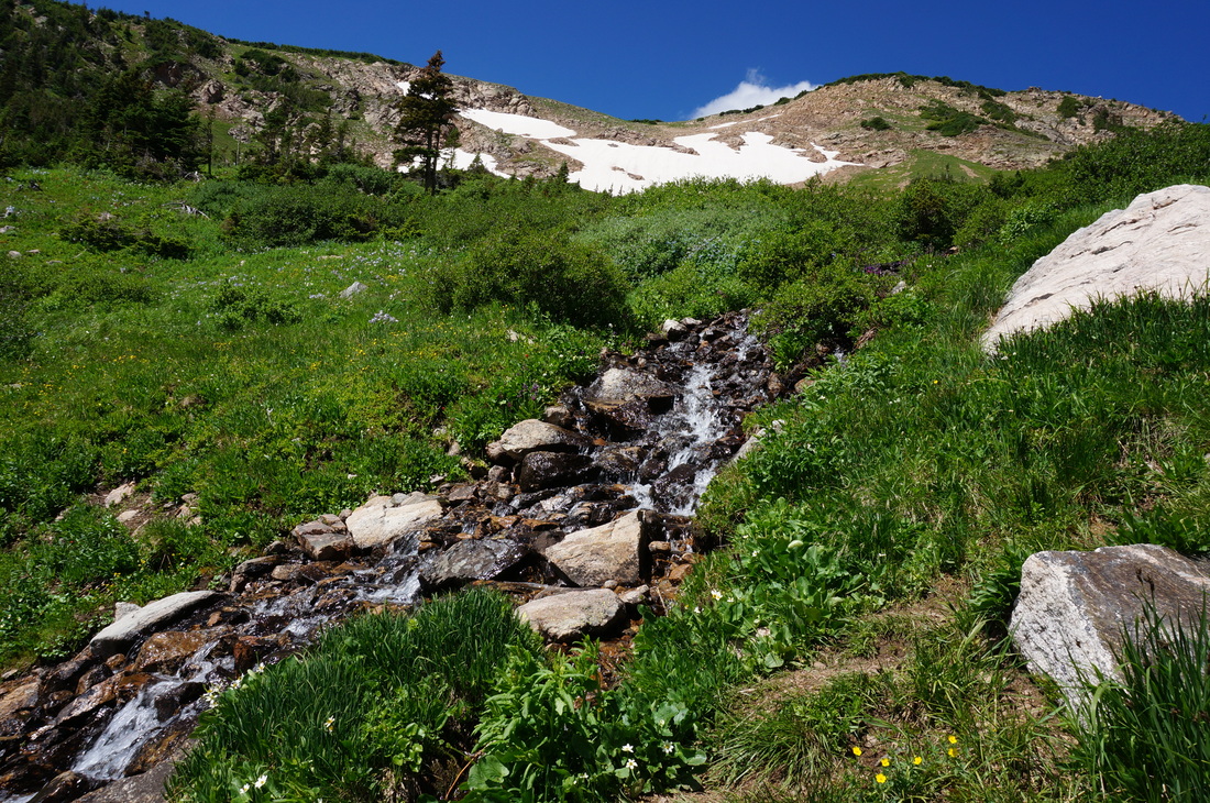
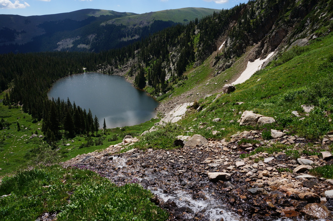
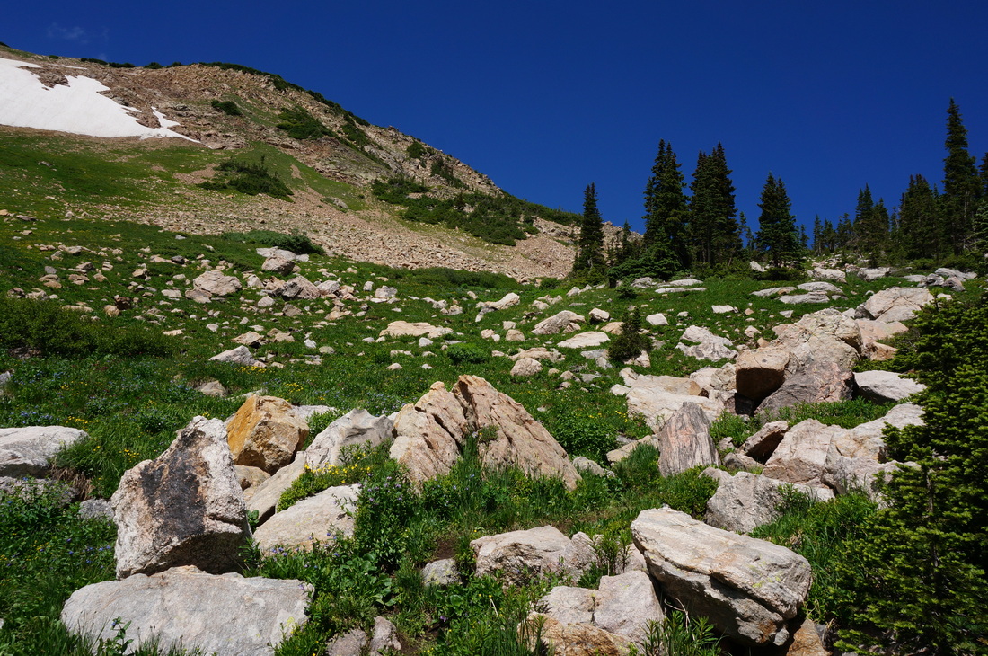
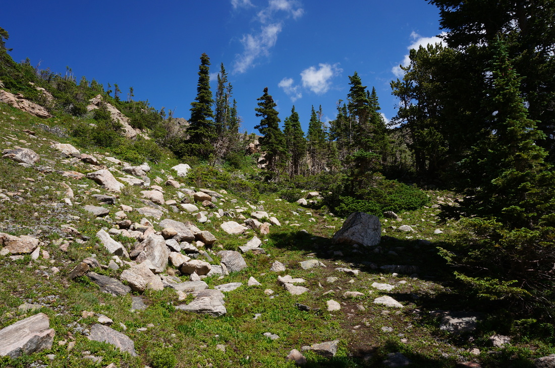
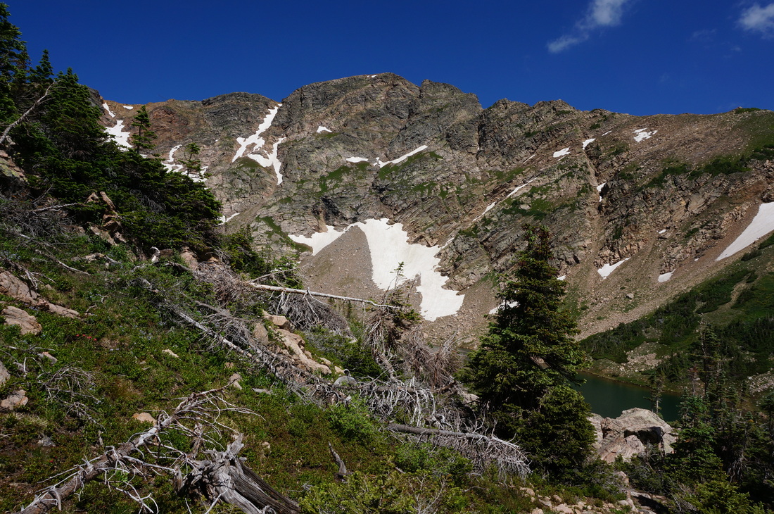
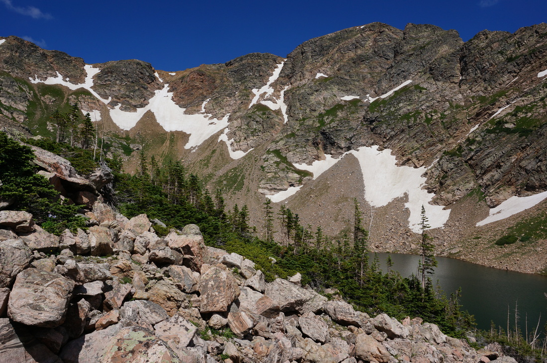
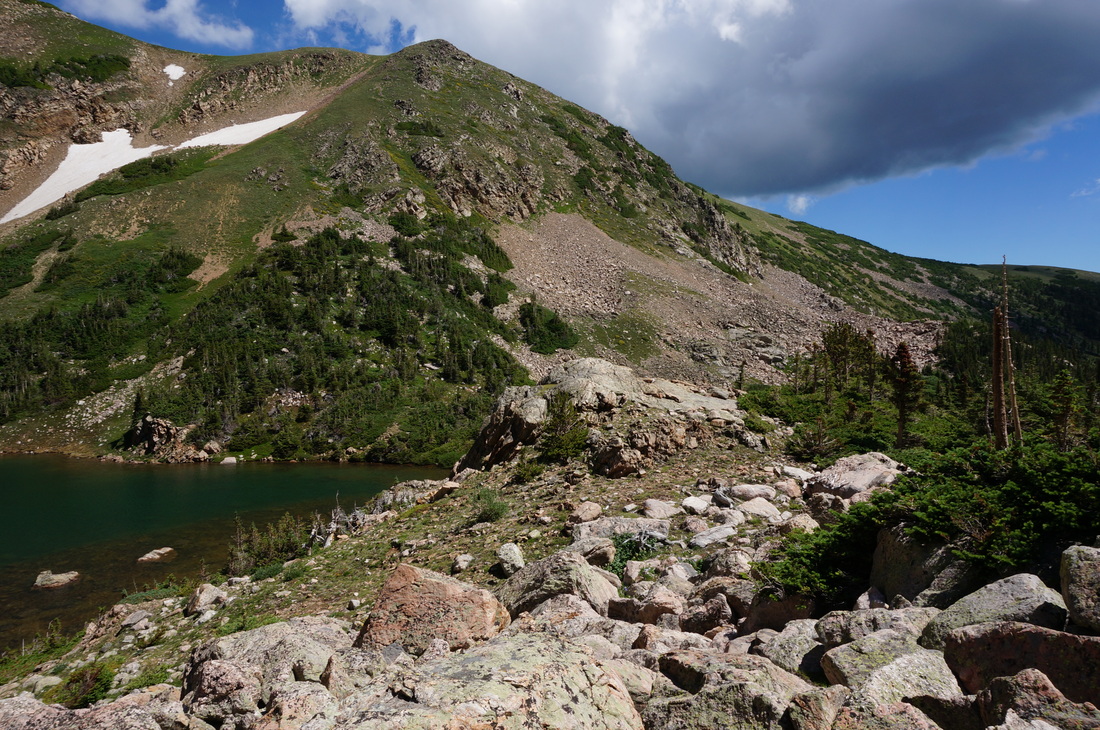
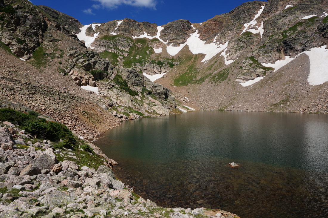
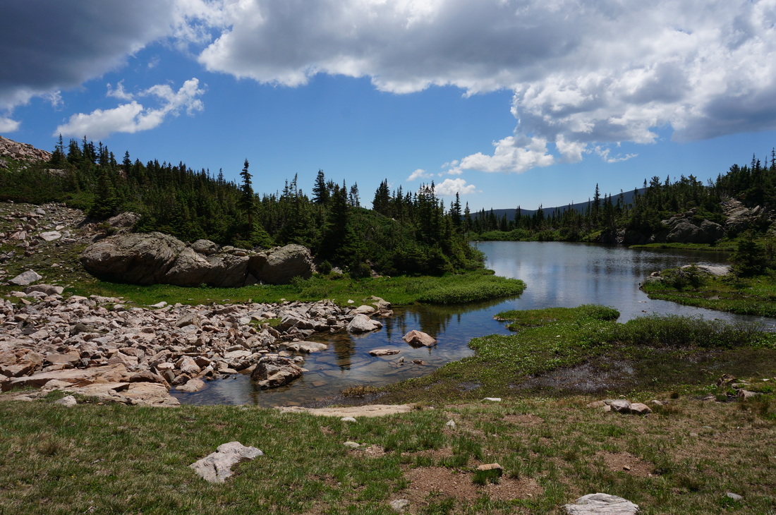
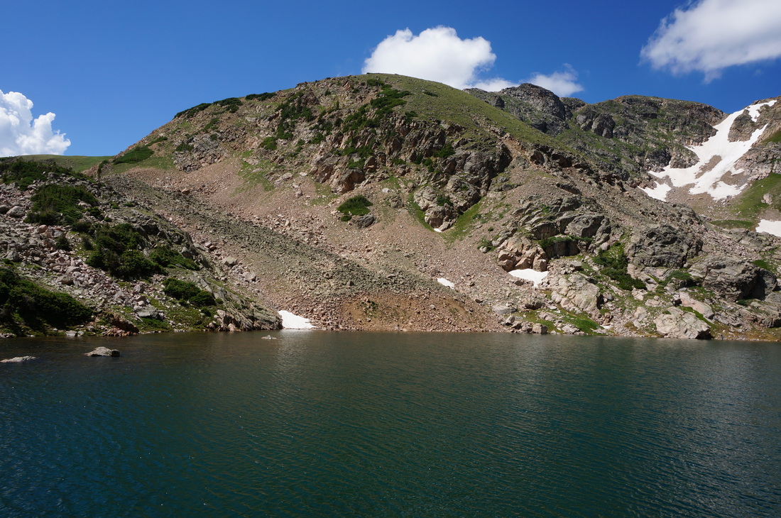
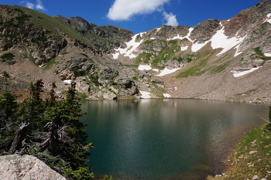
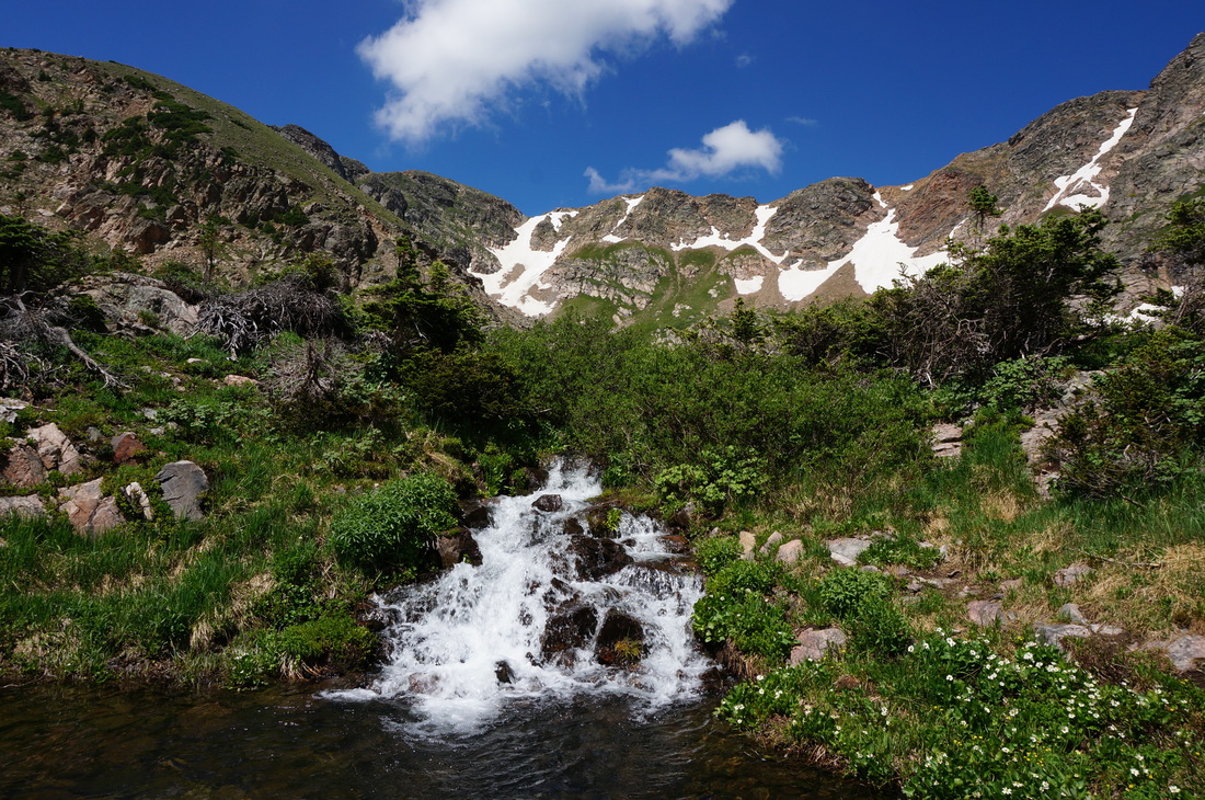
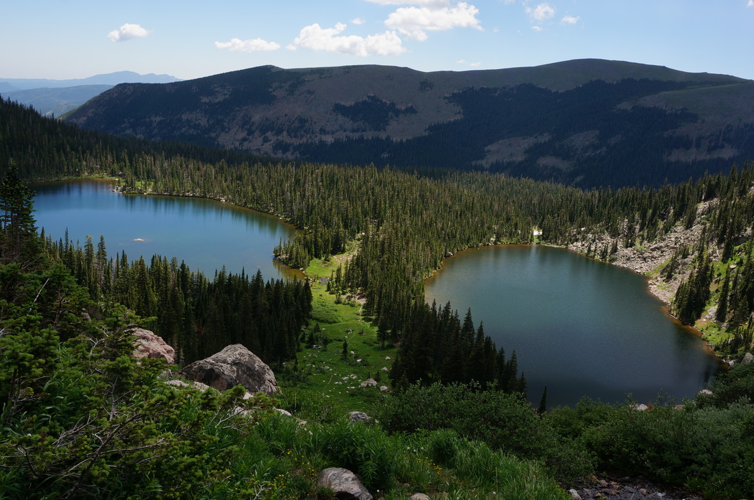
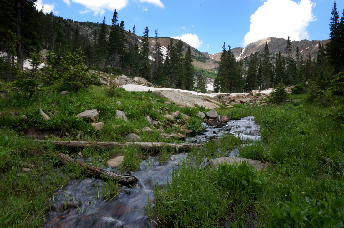
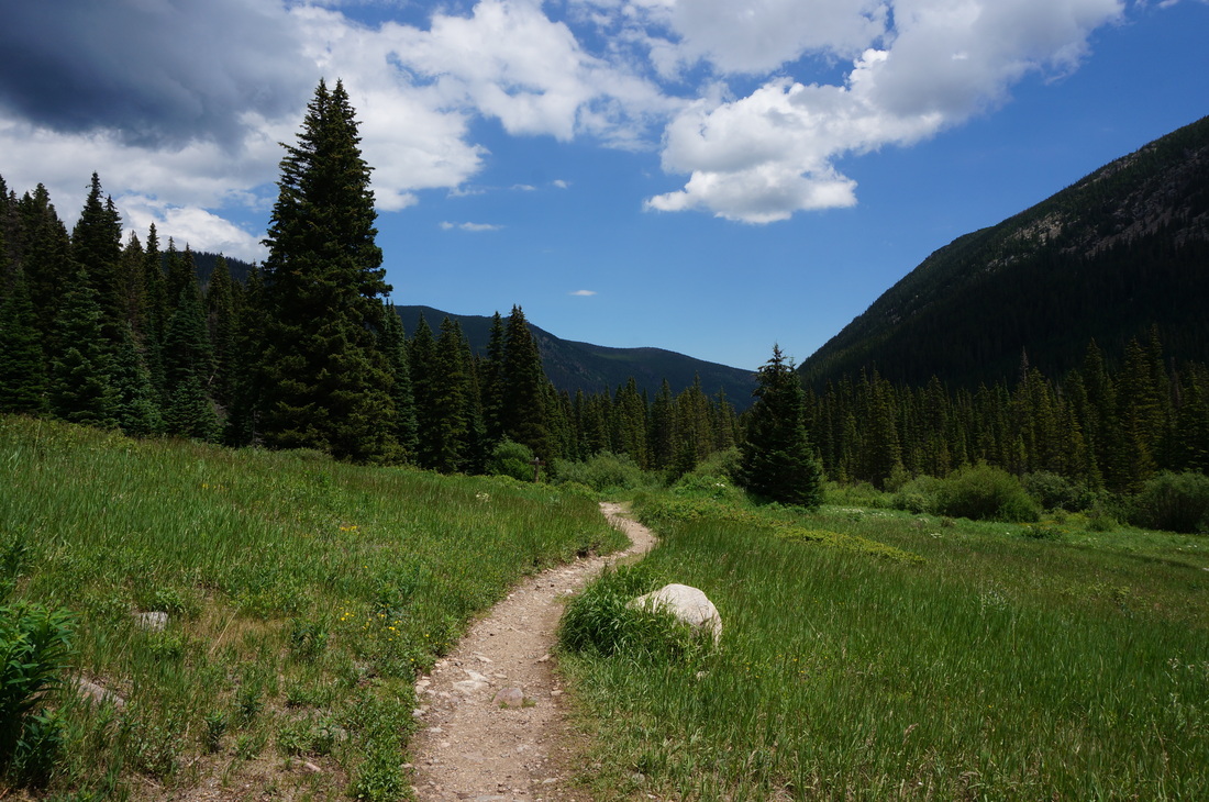
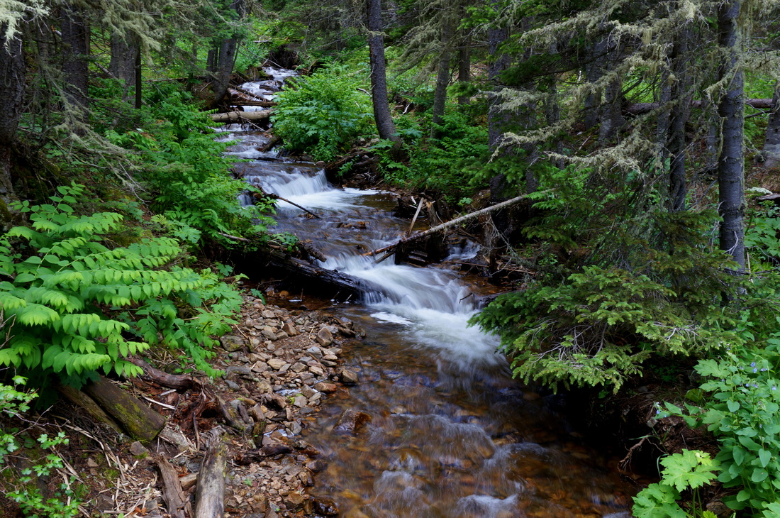
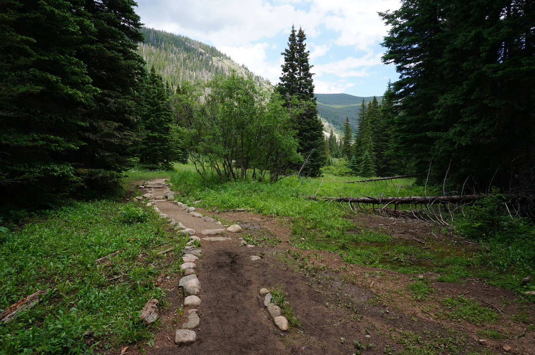
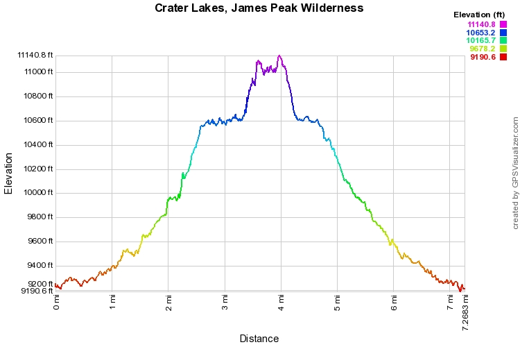
The Crater Lakes (upper and lower) are a fantastic destination, in the heart of the James Peak Wilderness. This beautiful area gets far less visitors than it's popular neighbor to the north, the Indian Peaks Wilderness, but is every bit as scenic. The trail starts at the Moffat Tunnel and climbs to two beautiful alpine lakes just below the Continental Divide. From the East Portal Trailhead start heading west parallel to the road and the Moffat Tunnel. The trail starts off gentle and weaves through aspen groves and pine forest. At just about the 1 mile mark you'll pass the Forest Lakes Trail, stay straight. Another 3/4 of a mile down the trail is the Crater Lakes Trail, turn right and start heading uphill on a trail that get's a bit steeper than than the easy starter trail. As you near the twin lakes, you'll start to get views of the continental divide. The trail cuts down the center of the two lower crater lakes, which are a beautiful destination in themselves. There are many campsites here and would make for a terrific easy overnight trip. There are two ways to get to the upper lake. You can cut along the shore of the northern lower lake and climb steeply up the creek, or you can take the "official" trail. From the middle of the two lakes, just start climbing up the steep slope in front of you, there will be a trickling creek that you climb up next to. This section is very steep and the ground is loose in some spots so be careful. As the terrain levels off stay to the right and work you way through the brush following a faint trail. You'll pop out above the upper lake and you'll need to boulder hop down to the lake shore. This is a wonderful alpine lake and you will most likely have it to yourself. There is a pretty waterfall at the eastern edge of the lake, an idyllic spot. Make your way back to the lower lakes and follow the trail back to the Tunnel, nothing too complicated. |
|