|
Directions: The northern trailhead for the Beaver Brook Watershed Open Space is hidden away between I-70 and Squaw Pass Road. From Denver take I-70 west to exit 248 - Beaver Brook. Exit the highway and turn left onto US-40 (Frontage Road) and head west. Turn left to cross over I-70 on the bridge and turn left on Hyland Drive. Stay on Hyland Drive as it becomes Beaver Brook Canyon Road. Once the pavement ends, continue for 1.7 miles to the Clear Creek County Open Space sign on the right. The parking area is .1 miles past this sign. After the pavement ends the dirt road begins. In good weather this road should be fine for most vehicles but if the weather is wet or the road is snowy and damp, then you may want to exercise caution and take an AWD or 4WD vehicle.
The trails in this area don't have official names so we'll refer to this one as the Eastern Trail, so named because it explores the eastern reaches of the Beaver Brook Watershed Open Space.
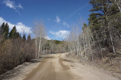
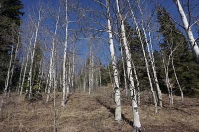
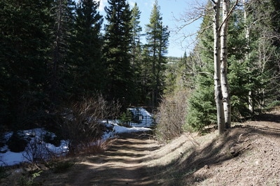
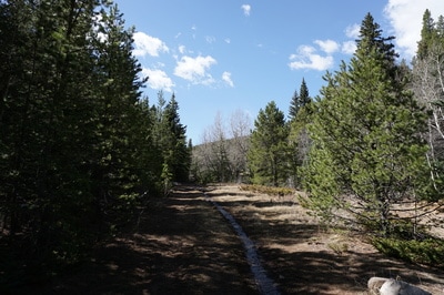
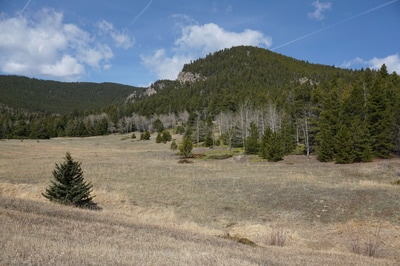
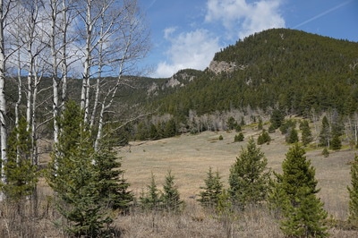
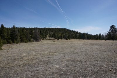
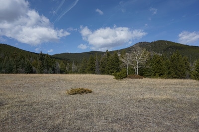
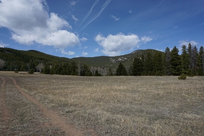
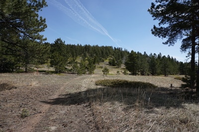
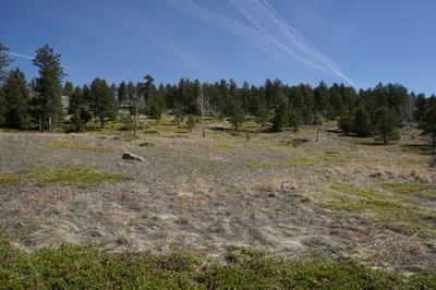
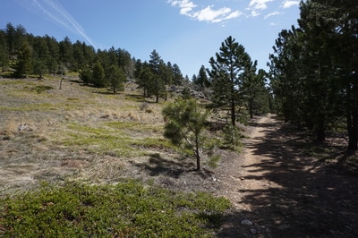
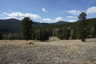
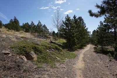
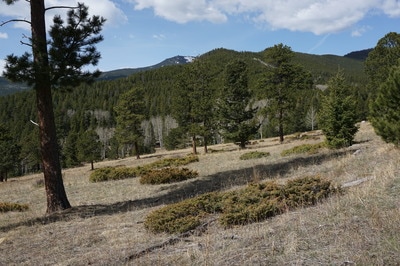
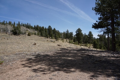
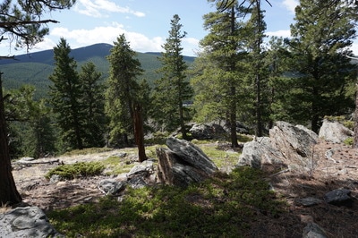
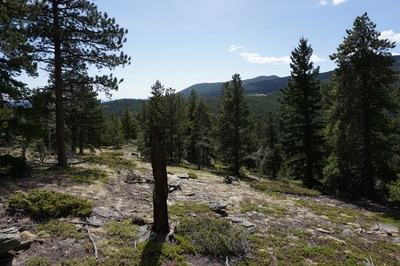
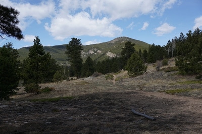
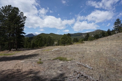
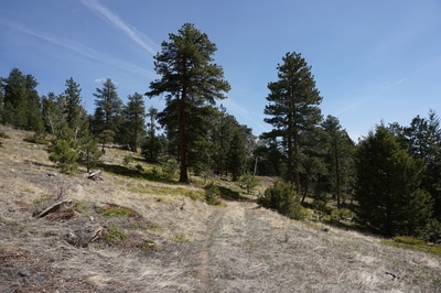
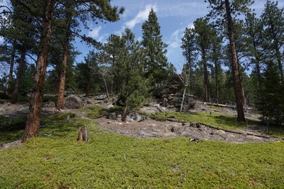
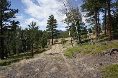
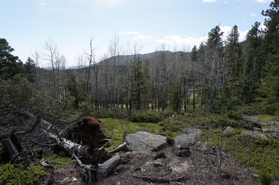
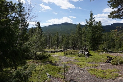
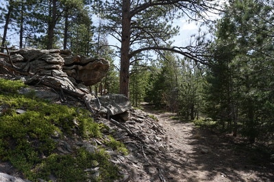
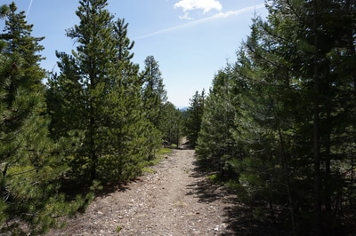
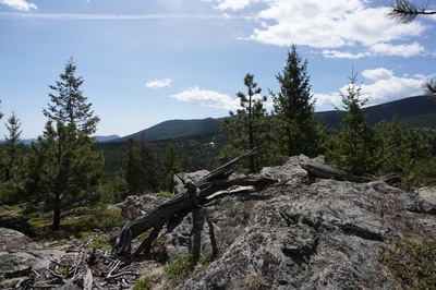
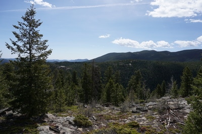
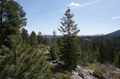
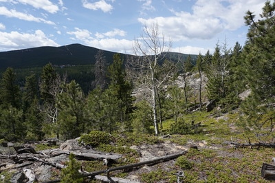
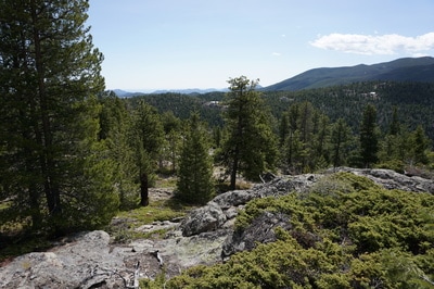
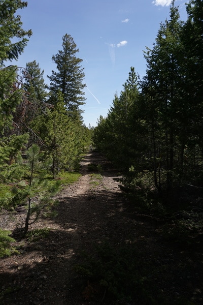
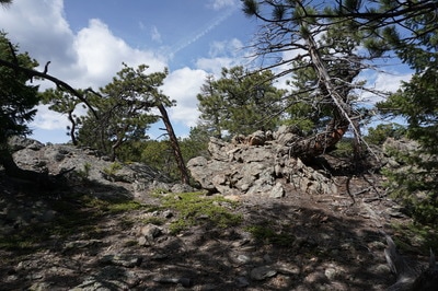
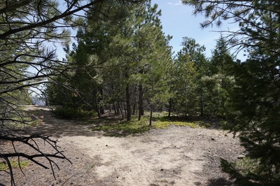
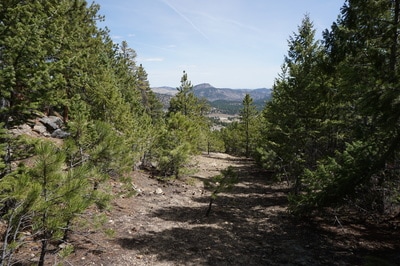
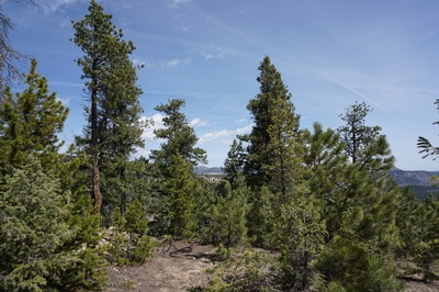
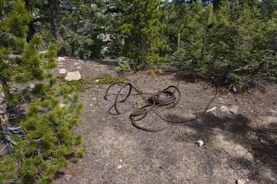
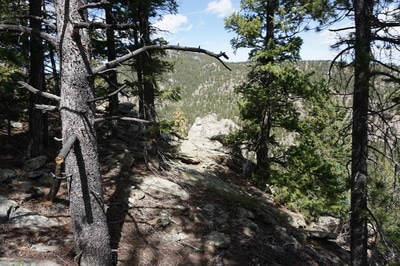
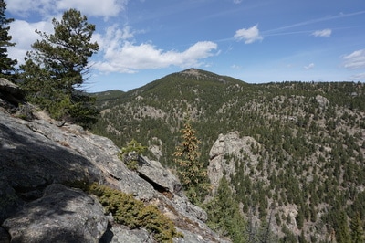
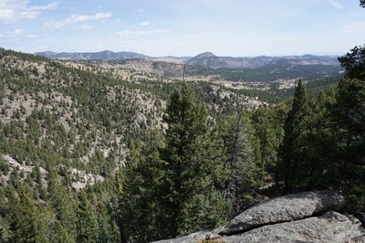
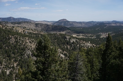
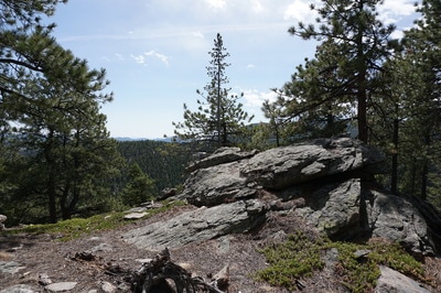
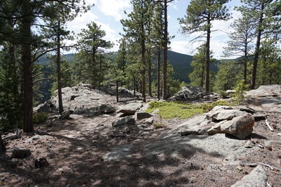
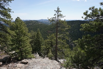
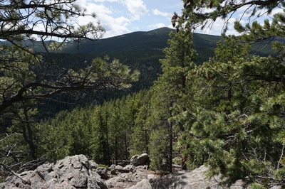
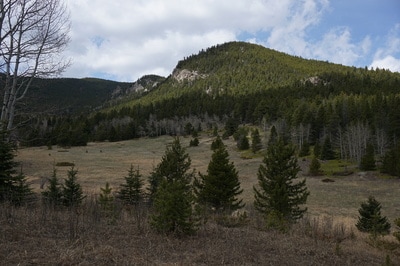
From the parking area, head west on Beaver Brook Canyon Road and bear left onto Pat Creek Road following the small trail markers. Continue through the open gate and at the fork in the road bear left again heading downhill to the closed open space gate and walk around the gate to enter the open space. Now within the open space, you'll be on dirt roads that are closed to motor vehicles. Continue along the road to a serene meadow with great views to the west of Santa Fe Mountain and the rocky outcrops along the ridge. After the clearing the trail gets a little steeper as you pass through a forested area and gain a crest before another clearing. At this clearing, you'll see a double track trail heading off to the east. This is the Eastern Trail. The Eastern Trail follows a ridge with numerous rock gardens and rock outcroppings. With just a little off trail exploration you can find views of two valleys and the surrounding foothills. The Eastern Trail runs for about 1.5 miles until it abruptly ends. The end point is obvious but look for the coil of rusted steel cable. Walk past the cable and to the left through the trees for the best viewpoint of the day. The drop here is treacherous so be careful. The views to the east are spectacular and to the west you get a great view down into to Beaver Brook Canyon with Saddleback Mountain looming overhead. Follow the same trail back to the trailhead. This open space is quickly becoming one of our favorite areas. The scenery is wonderful and the visitors are few which makes hiking here a peaceful and relaxing experience. |
- HOME
- ABOUT
-
HIKES BY REGION
-
NATIONAL PARK HIKES
- BENT'S OLD FORT NATIONAL HISTORIC SITE
- BLACK CANYON OF THE GUNNISON NATIONAL PARK
- COLORADO NATIONAL MONUMENT
- CURECANTI NATIONAL RECREATION AREA
- DINOSAUR NATIONAL MONUMENT
- FLORISSANT FOSSIL BEDS NATIONAL MONUMENT
- MESA VERDE NATIONAL PARK
- ROCKY MOUNTAIN NATIONAL PARK
- GREAT SAND DUNES NATIONAL PARK
- HOVENWEEP NATIONAL MONUMENT
- SAND CREEK MASSACRE NATIONAL HISTORIC SITE
- YUCCA HOUSE NATIONAL MONUMENT
- HIKES BY CATEGORY
- NEWS
- WEBCAMS
- $UPPORT GHC
- INTERACTIVE MAP
Eastern Trail
Beaver Brook Watershed Open Space
Date Hiked: April 16, 2017
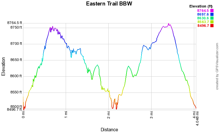
Distance: 4 mi (RT);
Elevation Gain: 600 ft
Elevation Min/Max: 8,497 to 8,765 ft
Trailhead Lat/Long: 39º 42' 27" N; 105º 26' 06" W
Managing Agency: Clear Creek Open Space
Fee: None

