|
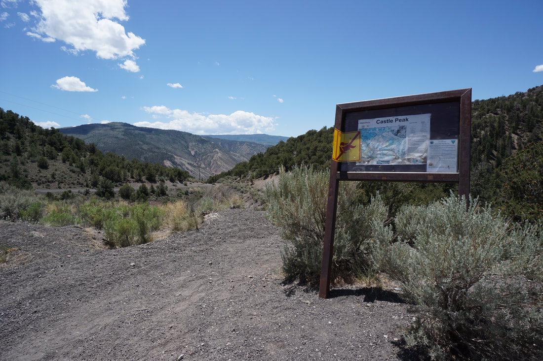
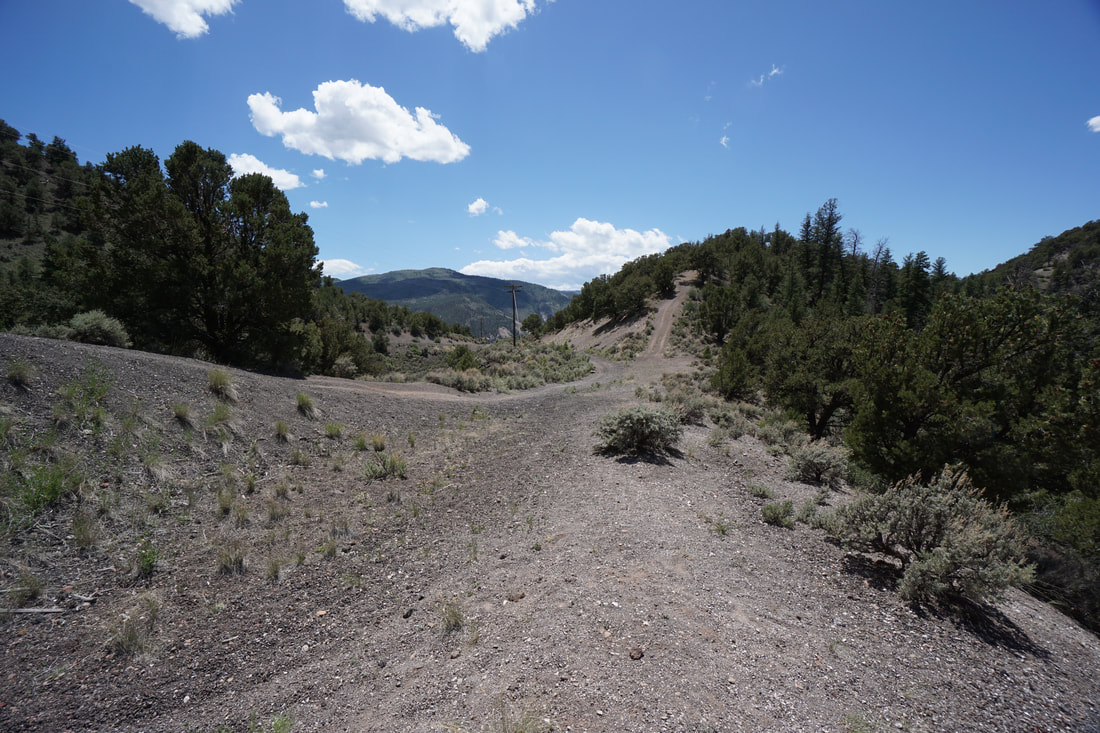
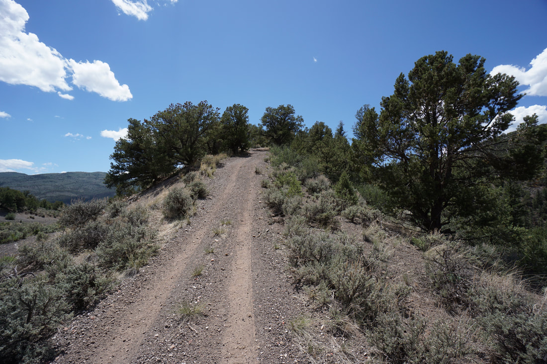
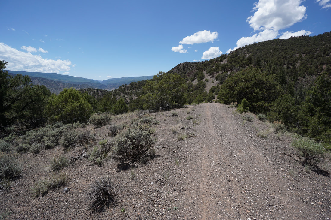
DIRECTIONS: From I-70, take the Dotsero exit. Turn right and go east along the highway access road to road 8460 and drive north on this road to the recreation site. Road 8460 is narrow and rocky with areas of deep soft gravel. That being said, my Subaru Forester did just fine.
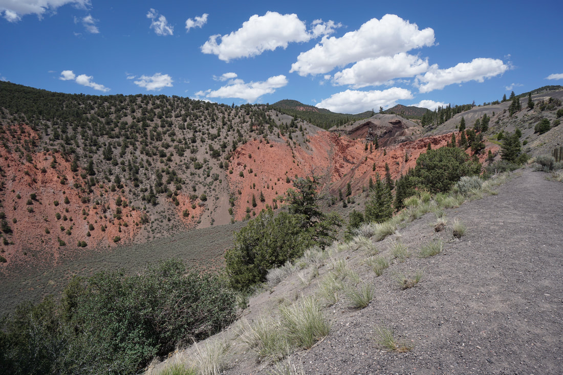
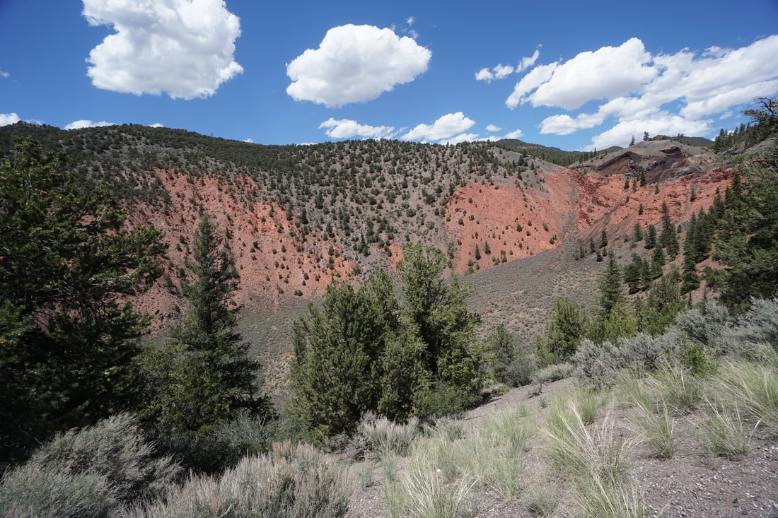
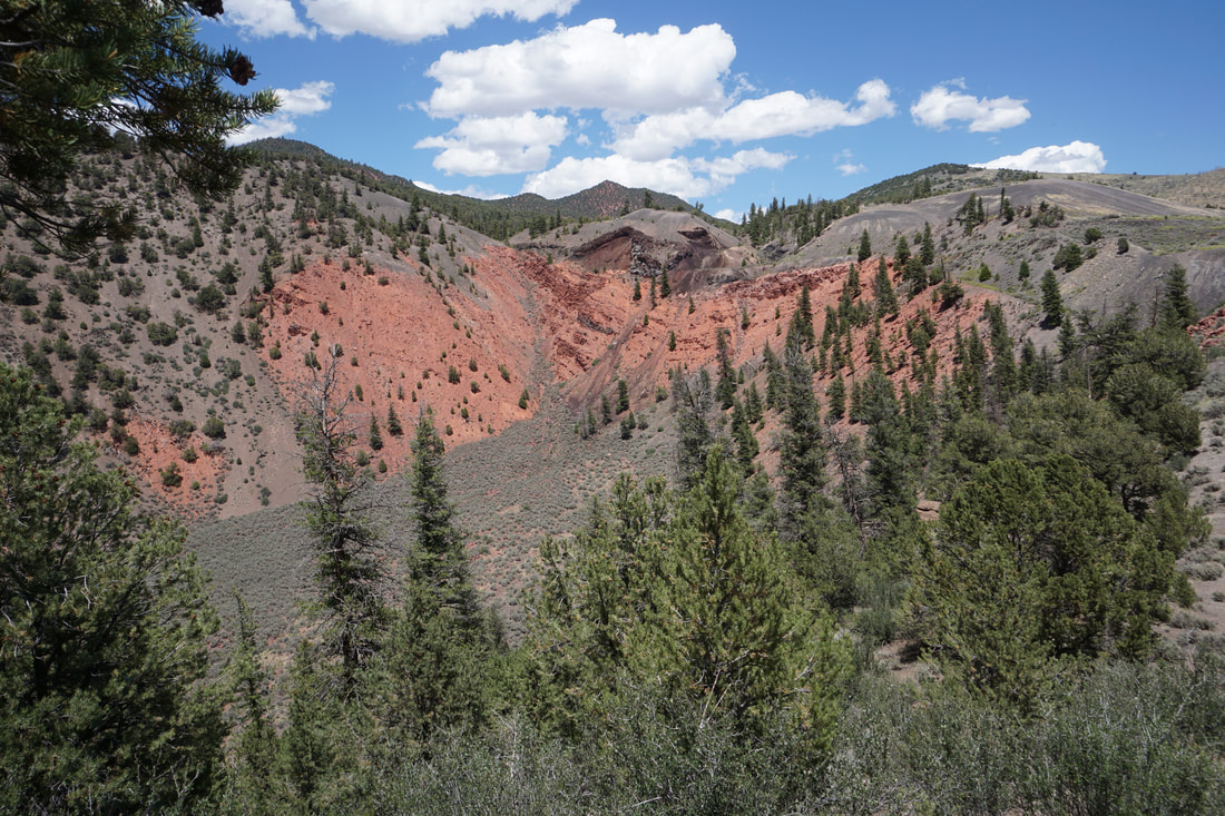
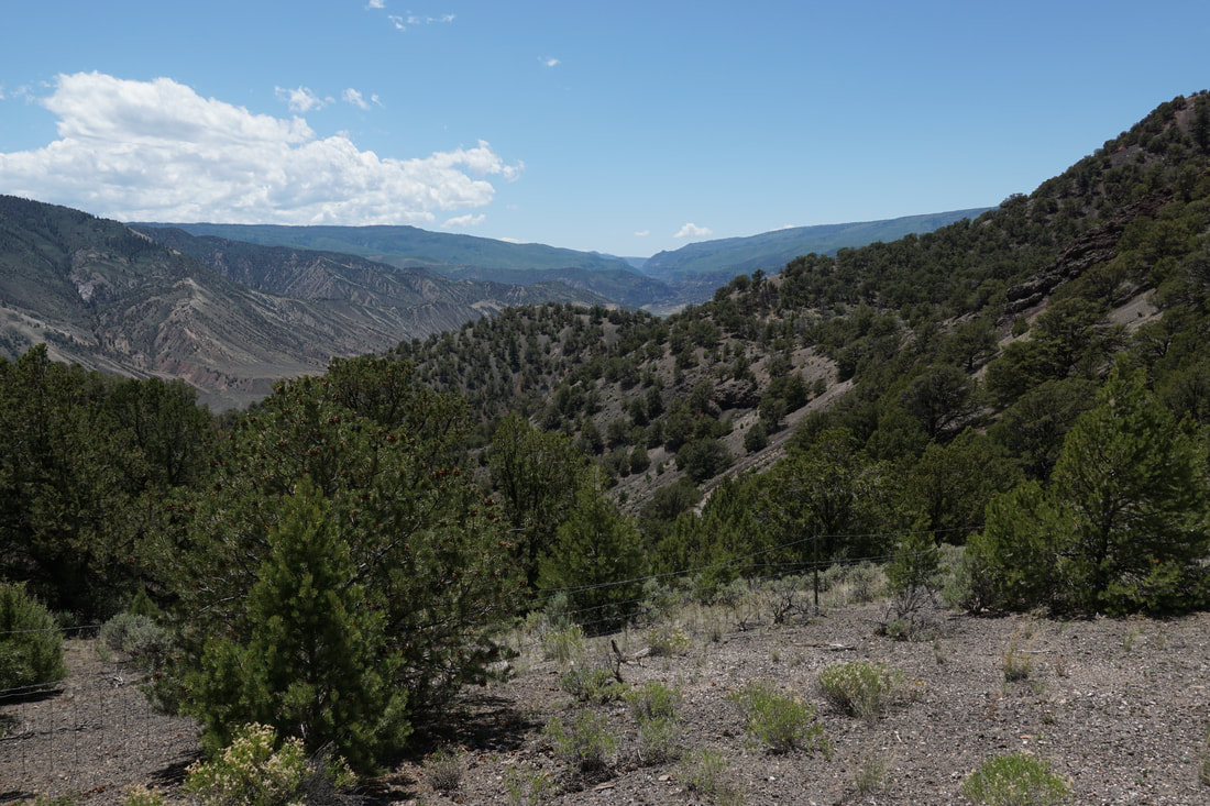
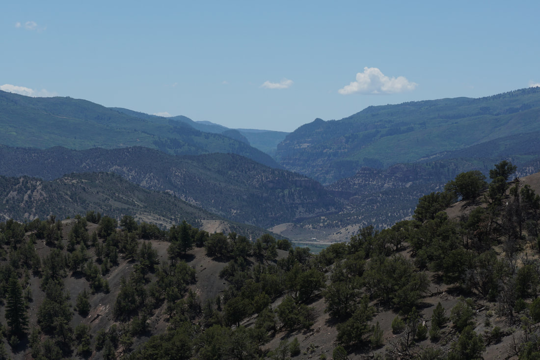
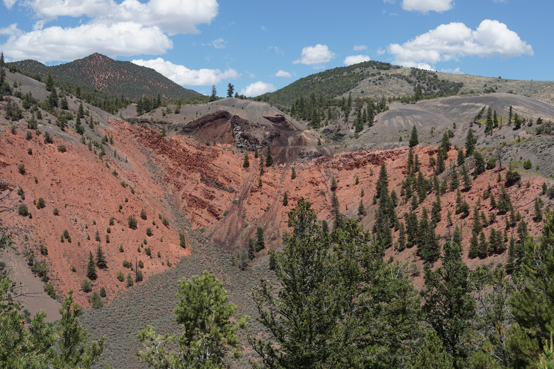
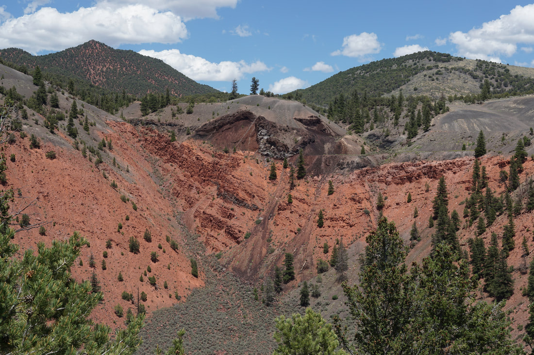
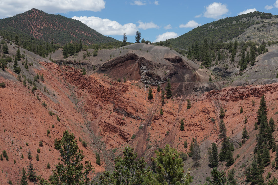
You've probably driven by Dotsero Crater hundreds of times... Driving on I-70 just east of Glenwood Canyon in the small town of Dotsero lies an astonishing volcanic/geologic area called the Dotsero Crater. Up in the hills north of I-70 is a large crater and a lava flow that cuts downhill and travels under I-70 running into the Eagle River. Look on the side of I-70 and you just might notice large volcanic boulders of lava.
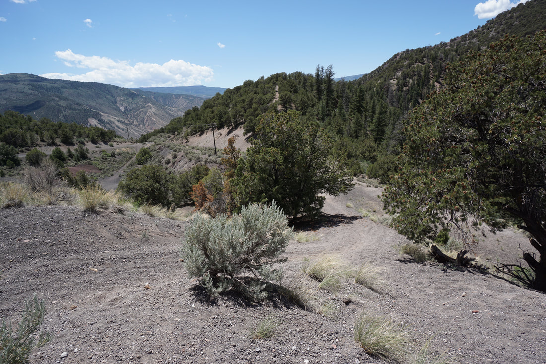
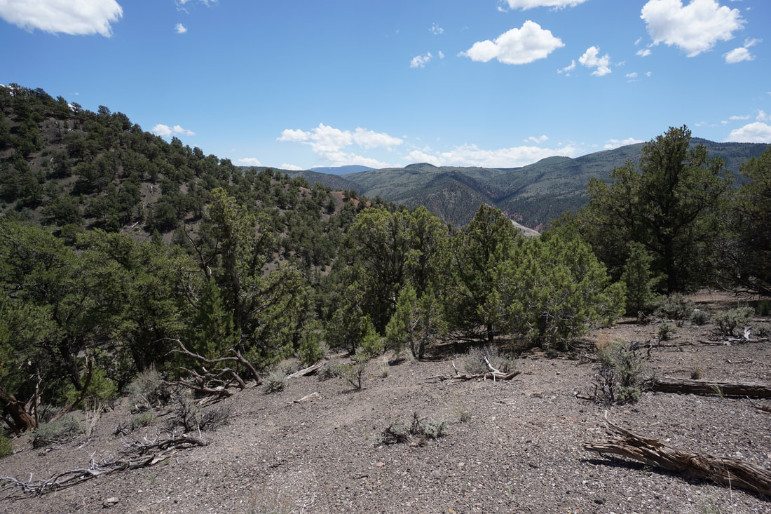
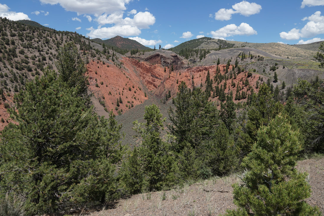
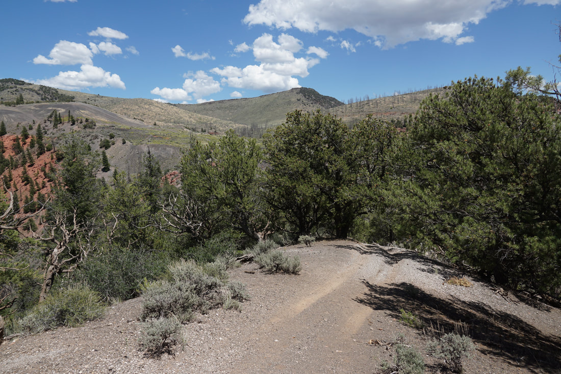
The drive up to Dotsero Crater is exciting, not just because the narrow dirt road is...sketchy...at times, but because you are driving through an unexpected volcanic environment with pumice everywhere, shiny black boulders, and red rock hills all around. When you reach the trailhead, the obvious turn-out with a fence and a trail sign for "Castle Peak". your choices begin. The crater looms as a massive bowl cut into the hillside, at the northern top of the crater is a fantastic volcanic formation. Red rock contrasted with black volcanic rock against the desert scrub landscape is stunning. The crater is incredible, your hiking route, is less obvious. There are many OHV roads in this area and you can hike along all of them. The most obvious trail to follow is the trail that heads steeply downhill from the Castle Peak sign. This trail heads down to the edge of the crater and follows the southern rim climbing uphill to a wonderful viewpoint of the crater as well as down the hills to the river and Glenwood Canyon beyond. On our trip, we had young kids with us and this was just a quick stop to check out the crater. However, you can continue to follow this trail or explore the trails that climb up to the northern, and higher, rim of crater. This is a very interesting spot and I look forward to returning and exploring further. |
|
- HOME
- ABOUT
-
HIKES BY REGION
-
NATIONAL PARK HIKES
- BENT'S OLD FORT NATIONAL HISTORIC SITE
- BLACK CANYON OF THE GUNNISON NATIONAL PARK
- COLORADO NATIONAL MONUMENT
- CURECANTI NATIONAL RECREATION AREA
- DINOSAUR NATIONAL MONUMENT
- FLORISSANT FOSSIL BEDS NATIONAL MONUMENT
- MESA VERDE NATIONAL PARK
- ROCKY MOUNTAIN NATIONAL PARK
- GREAT SAND DUNES NATIONAL PARK
- HOVENWEEP NATIONAL MONUMENT
- SAND CREEK MASSACRE NATIONAL HISTORIC SITE
- YUCCA HOUSE NATIONAL MONUMENT
- HIKES BY CATEGORY
- NEWS
- WEBCAMS
- $UPPORT GHC
- INTERACTIVE MAP
Dotsero Crater
BLM Public Lands
Date Hiked: June 18, 2020
Distance: .35 mi (RT) (Longer Options)
Elevation Gain: 50 ft
Elevation: 7,075 ft
Trailhead Lat/Long: 39.65879, -107.03331
Managing Agency: Bureau of Land Management (BLM)
Fee: None