|
|
|
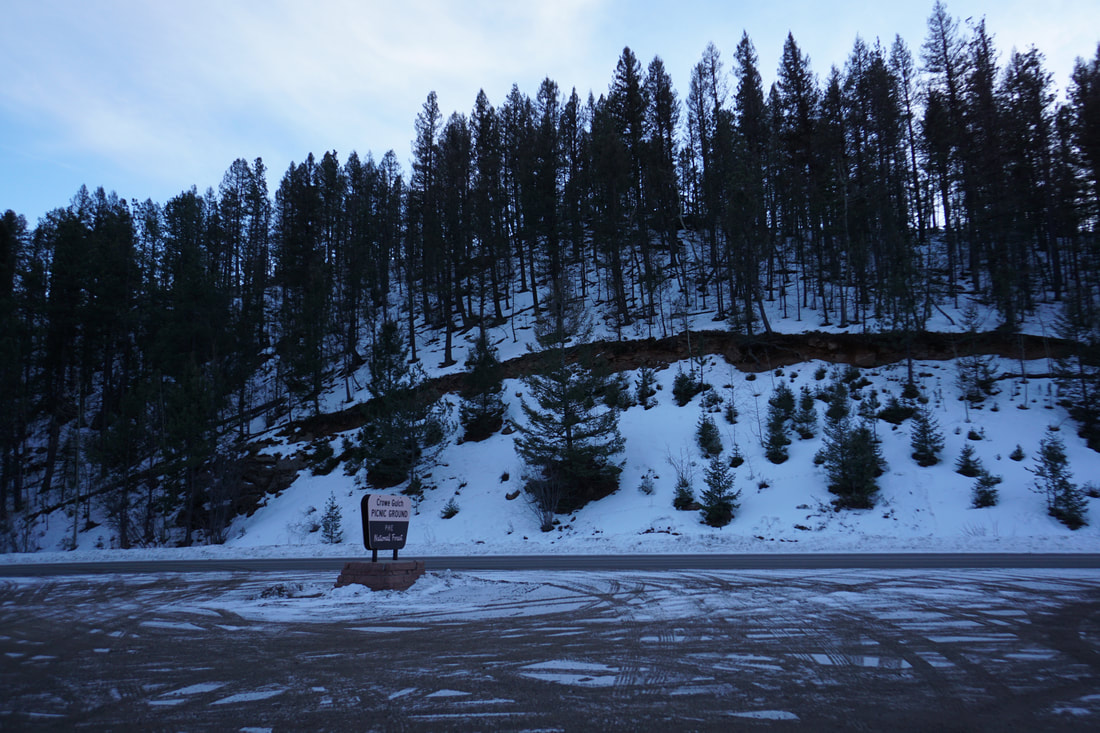
DIRECTIONS: From I-25 in Colorado Springs, exit onto US 24 and head west towards Manitou Springs. Continue past Manitou Springs and past the Cave of the Winds. Follow the signs for Pikes Peak by turning left (south) onto Pikes Peak Highway. Pass through the Toll Road entrance station (fee) and drive along the Pikes Peak Toll Road for 3/4 of a mile to the Crowe Gulch Picnic Area.
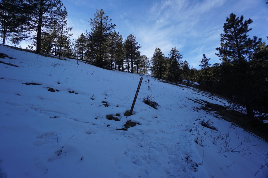
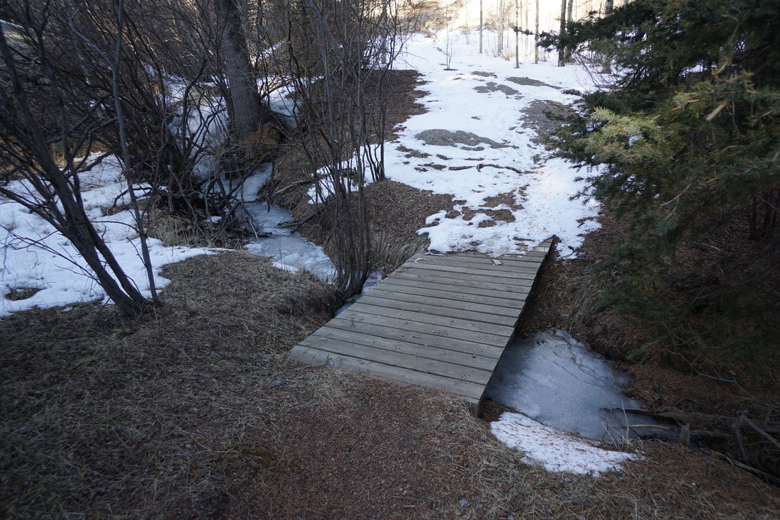
Aside from the Crystal Reservoir Trail, and the Catamount Reservoir Trails, there are not many hiking options along the lower portions of the Pikes Peak Toll Road. However, there is a beautiful trail that starts at the Crowe Gulch Picnic Area, just after the entrance gate. There are no trail signs and no maps. And there are two visible trails from the picnic grounds. However, there is a post with an arrow pointing towards the trail on the left side of the canyon. This is the trail to follow.
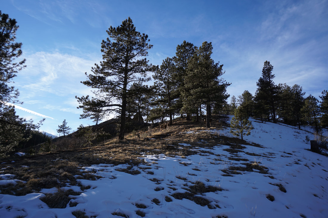
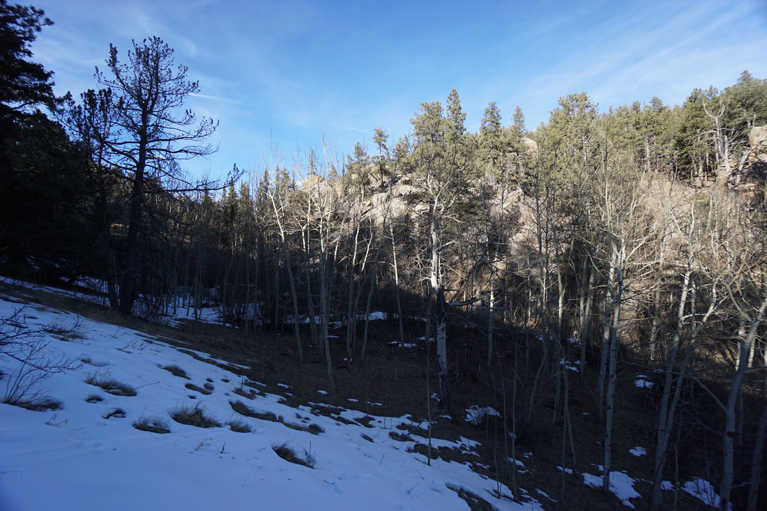
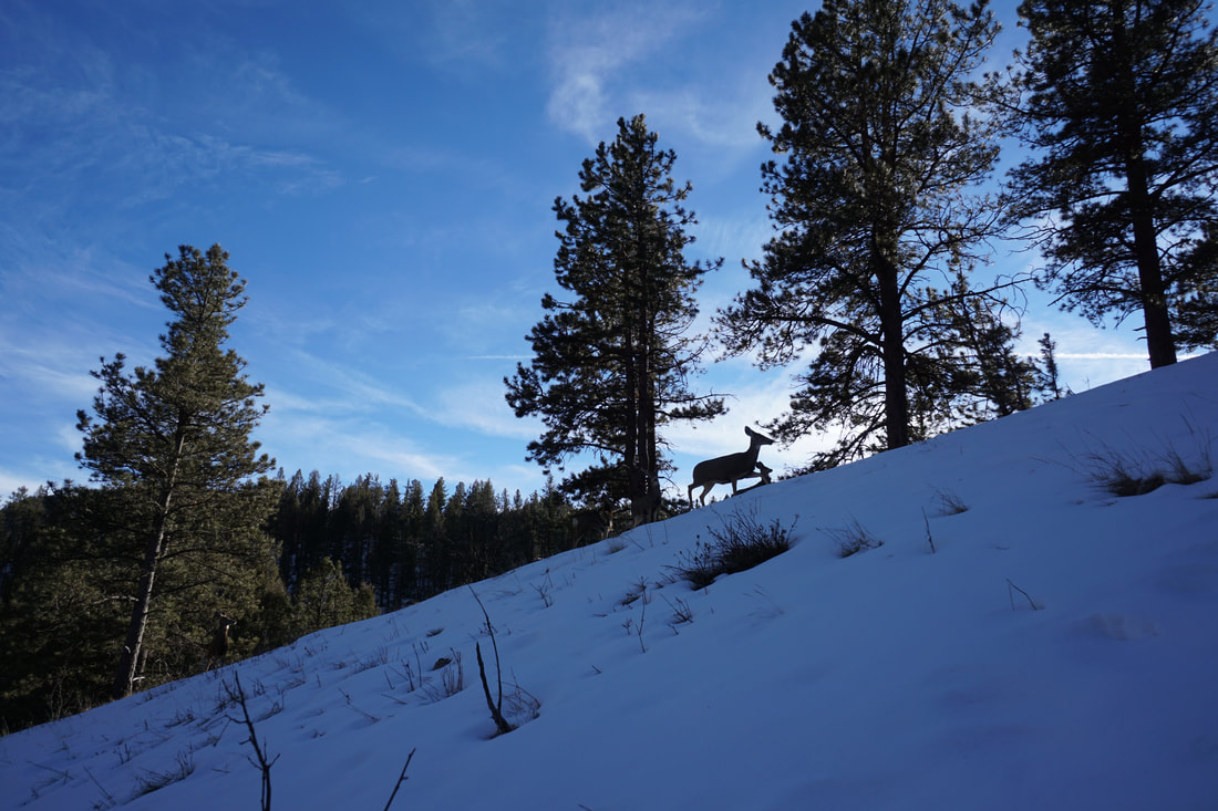
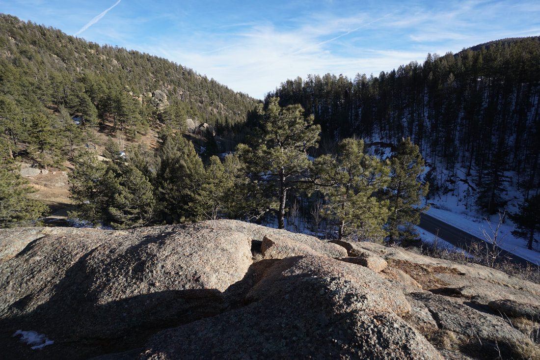
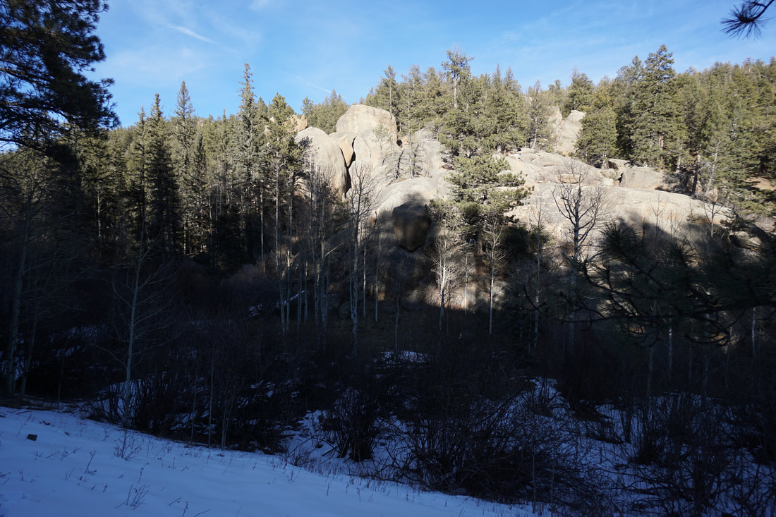
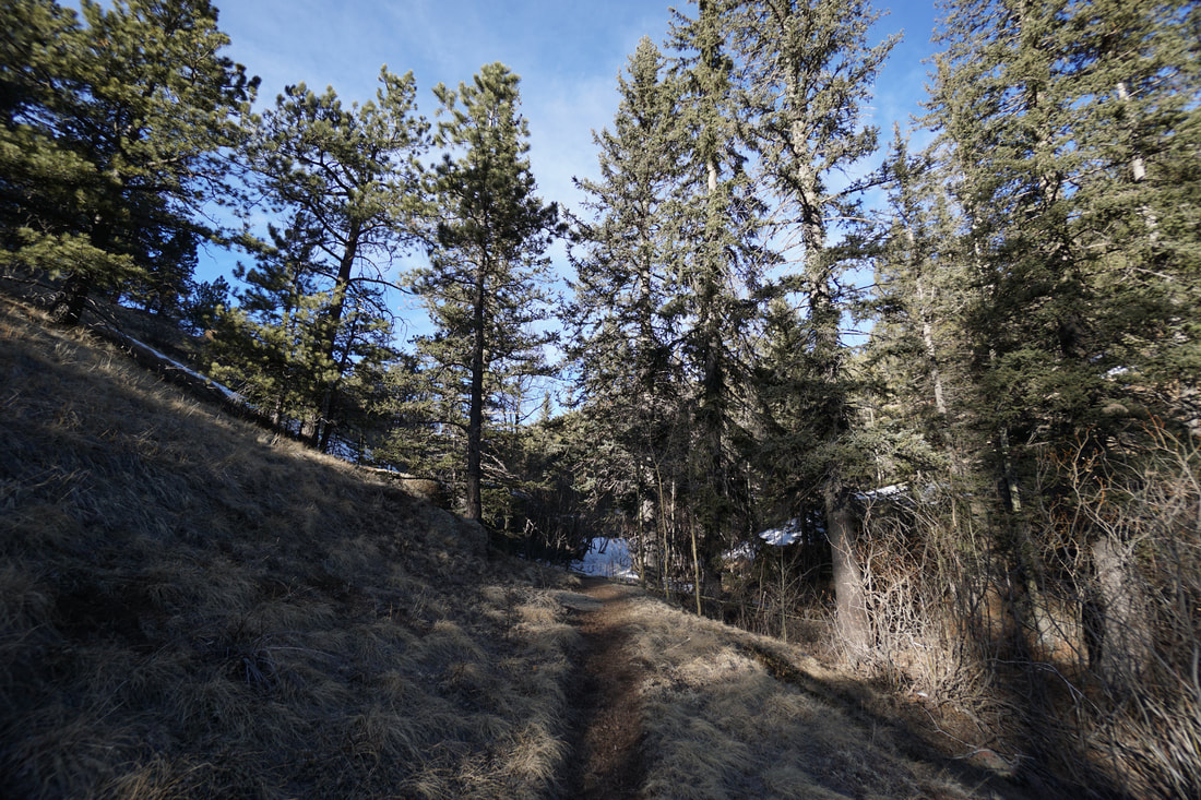
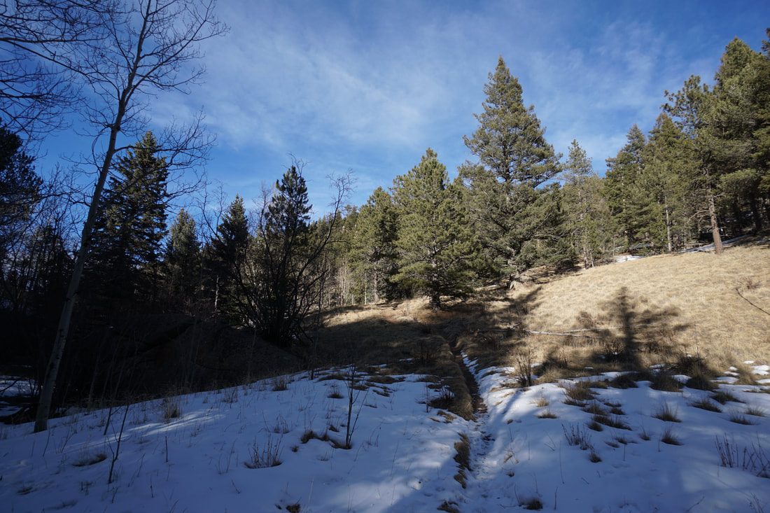
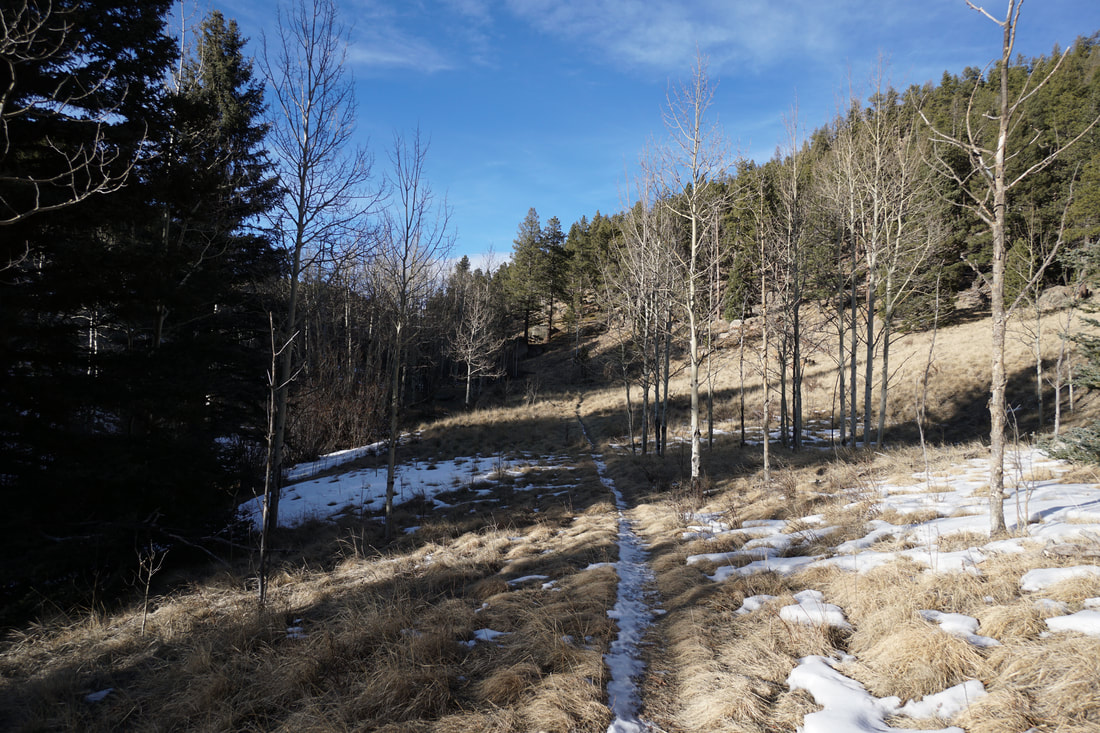
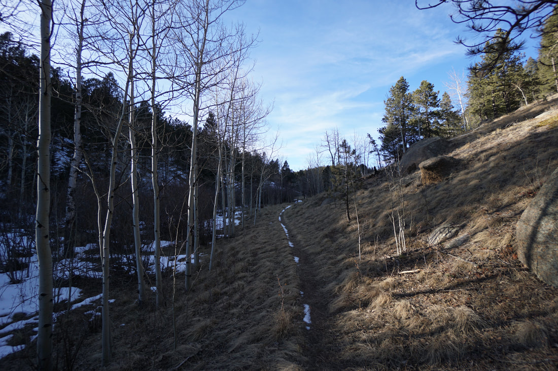
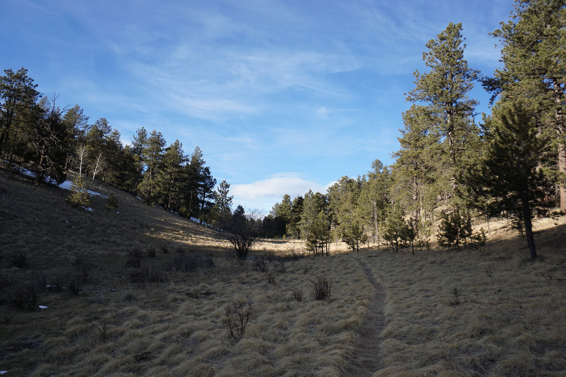
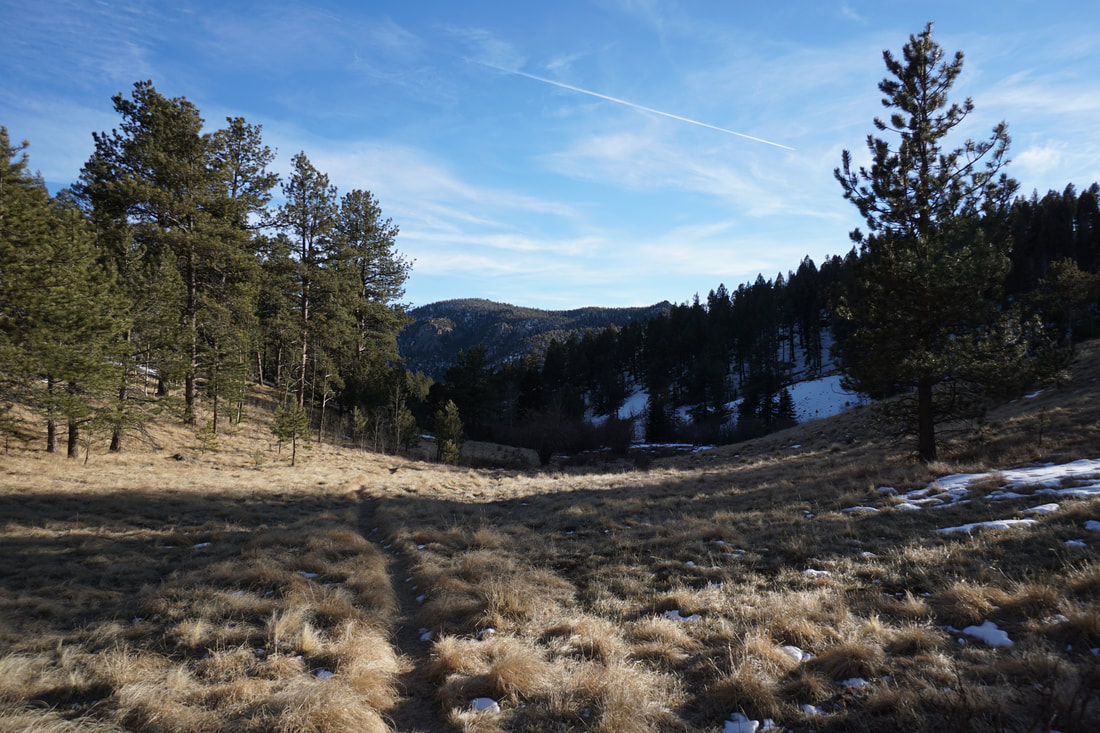
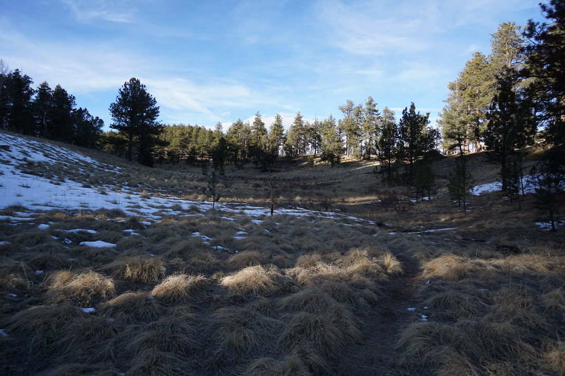
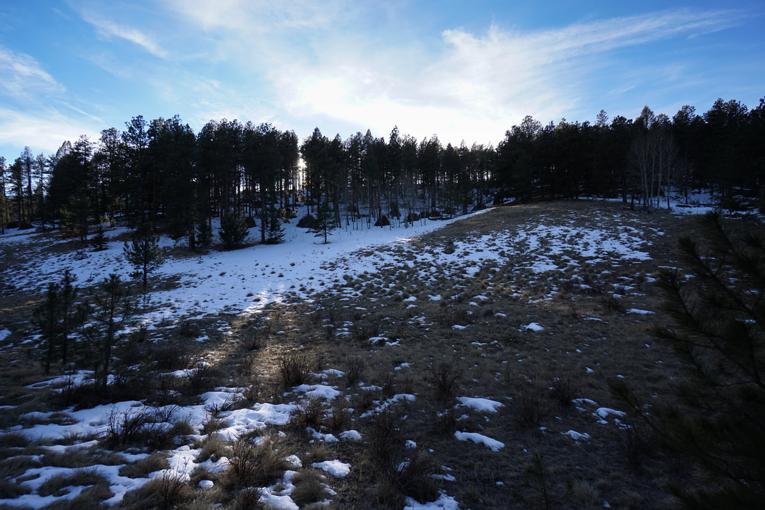
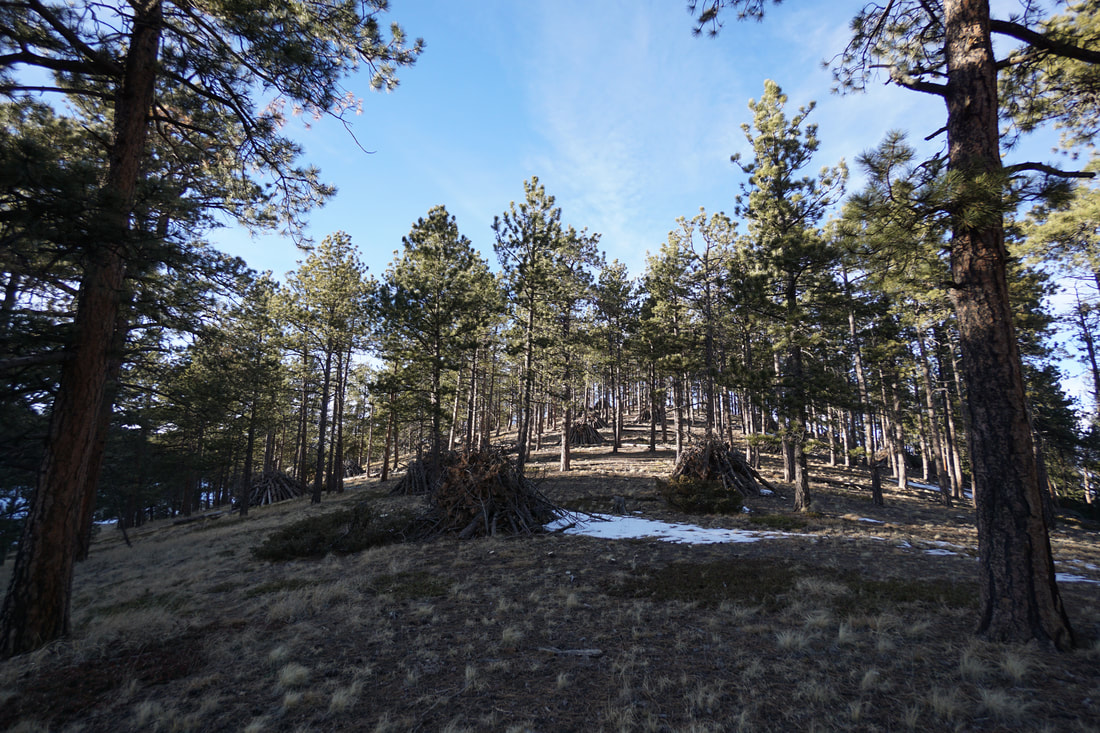
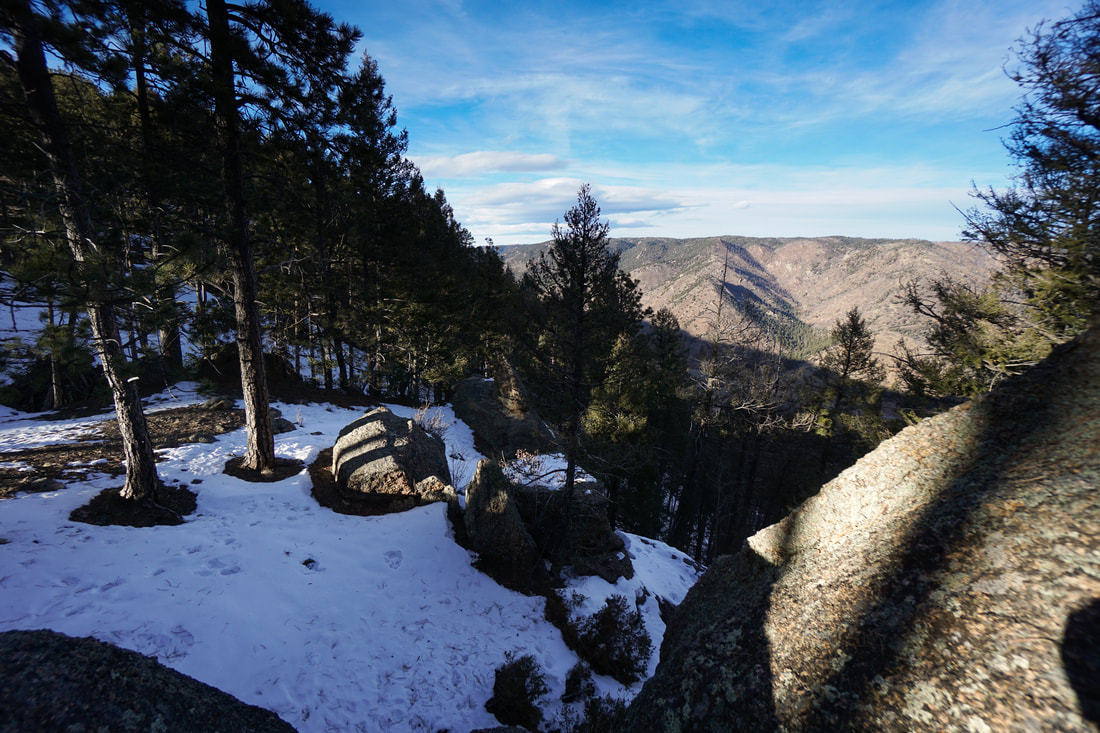
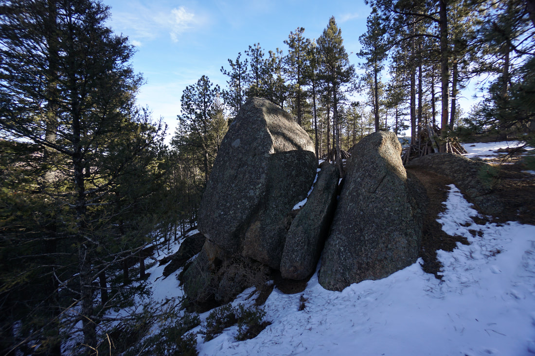
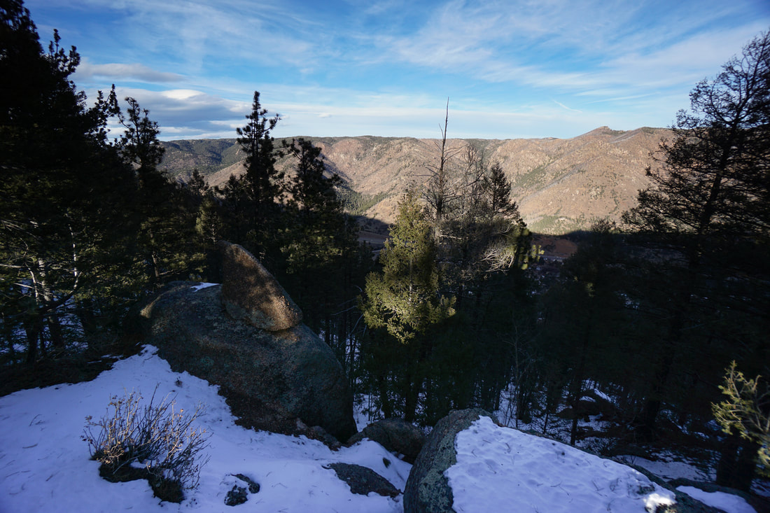
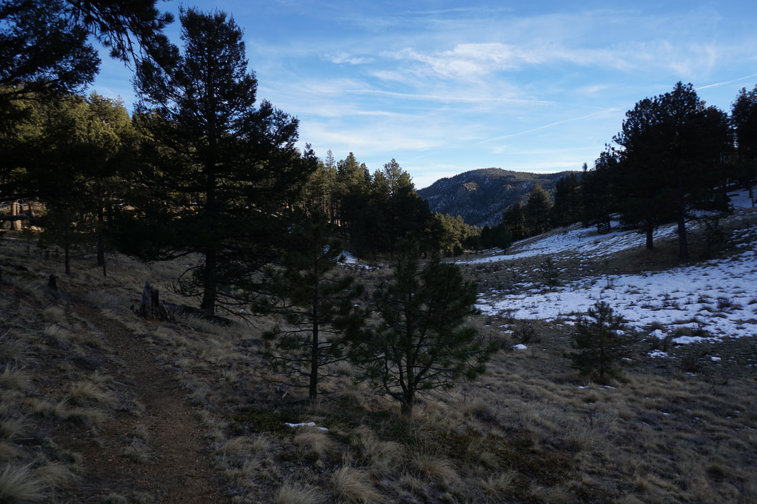
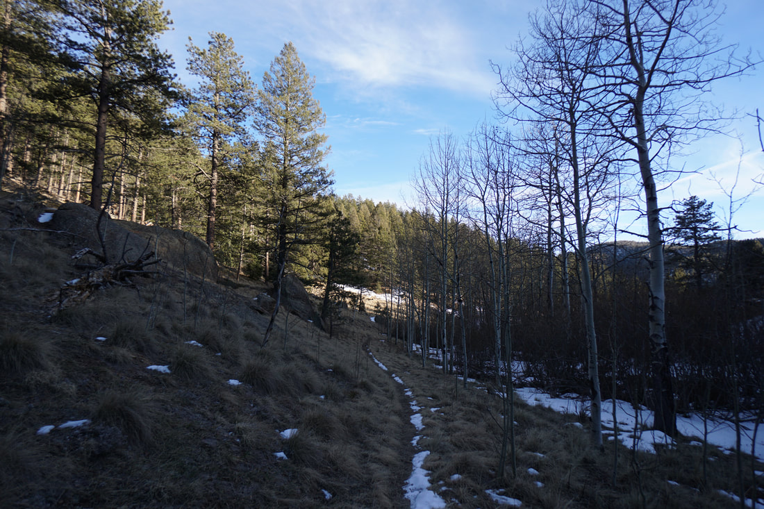
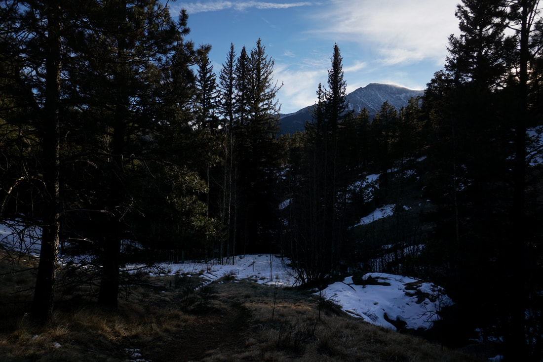
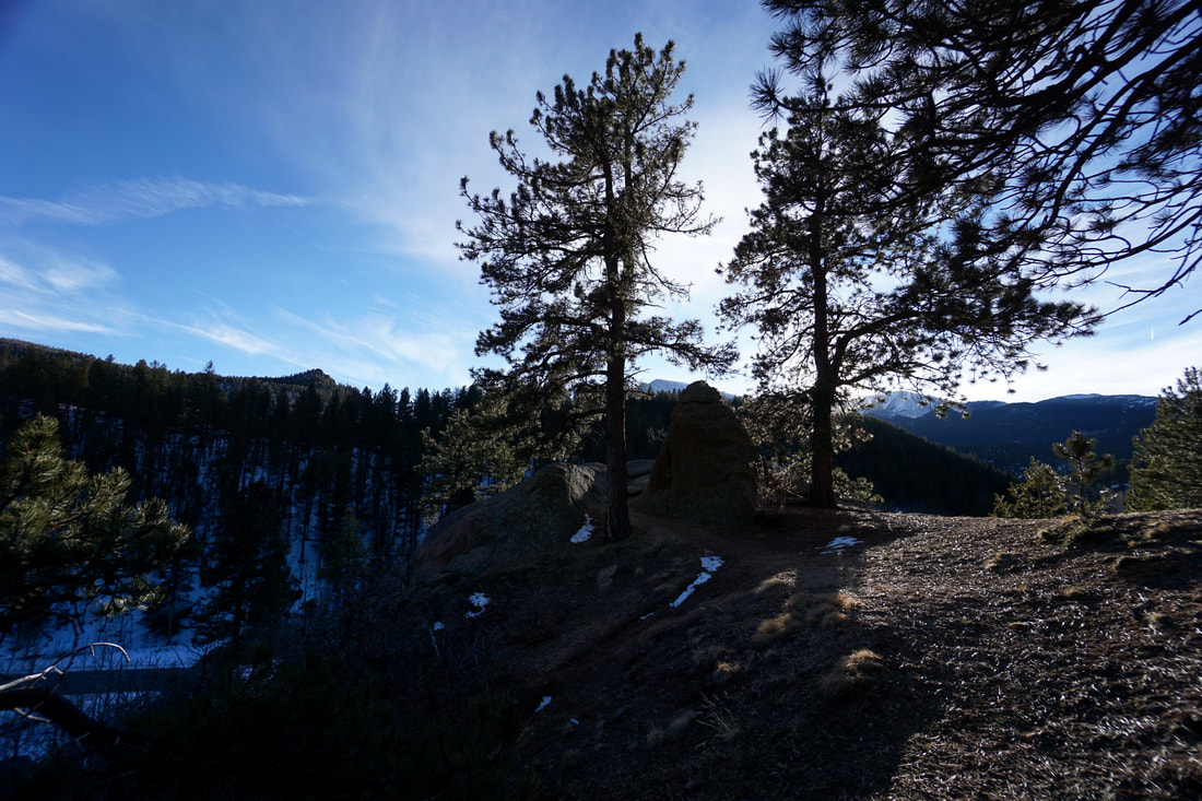
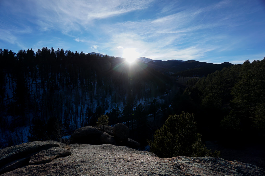
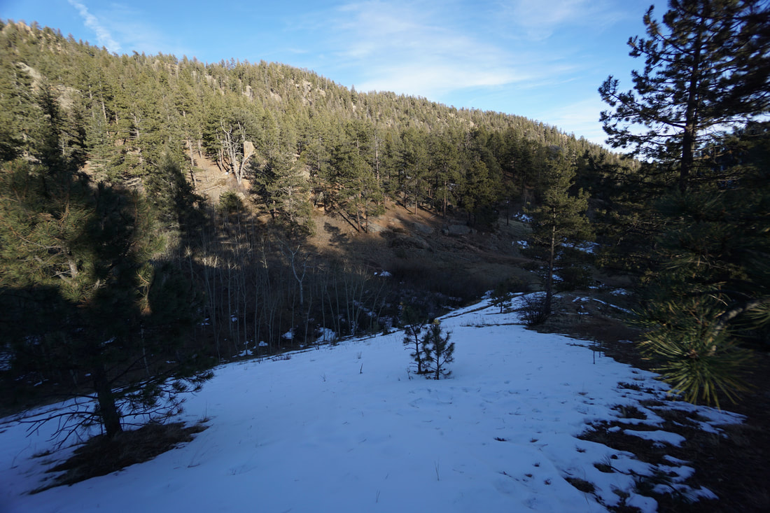
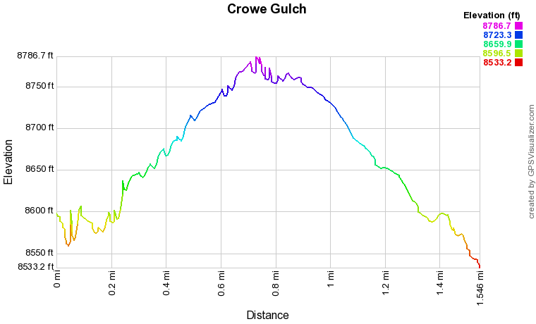
I'm not quite sure what the name of this trail is. I've looked on various maps as far as I can tell, the trail is a spur from the Mount Esther Trail, which officially starts down in Cascade-Chipita Park along Hwy 24. The trail is also known as Forest Service Trail 754. Regardless of the name, the trail is extremely pleasant and worthy of exploring. Just after the start hiking uphill, you'll see a small sign for overlook. turn left and follow the short trail up to a rock outcrop with views of the very top of Pikes Peak sticking up over the forested hills. Returning to the trail, continue into a nice aspen grove where the steep canyon becomes a mellow gulch. The trail follows the gulch and crosses wide open meadows surrounded by pine and aspen trees. This trail should be beautiful in the fall. The trail follows the gulch for about 3/4 of a mile, at which point the trail intersects with the Ring the Peak Trail. At this intersection you can continue up the gulch (apparently heading for Mount Esther) or turn right and head down to the official Mt. Esther Trailhead along Hwy 24. If this is your stopping point, I suggest you turn right and head up to the saddle for some nice views down to the canyon that Hwy 24 cuts through. On your way back to the Crowe Gulch Picnic Area, keep an eye out for nice views of Pikes Peak rising in the distance. Overall, this is a very pleasant hike and worth exploring if you are spending the day on the Pikes Peak Toll Road. |
|