|
|
|
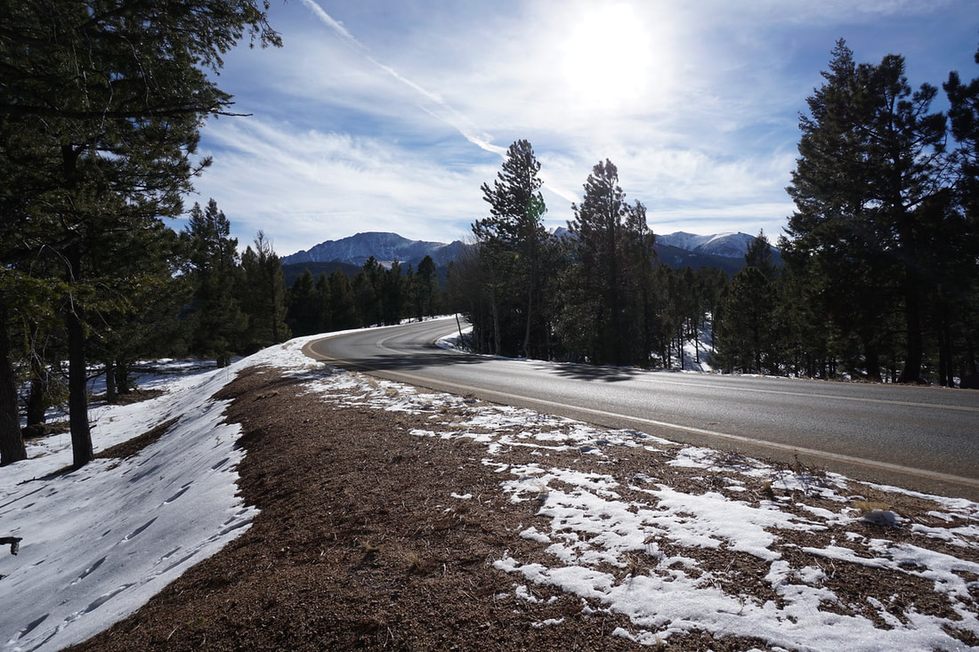
DIRECTIONS: From I-25 in Colorado Springs, exit onto US 24 and head west towards Manitou Springs. Continue past Manitou Springs and past the Cave of the Winds. Follow the signs for Pikes Peak by turning left (south) onto Pikes Peak Highway. Pass through the Toll Road entrance station (fee) and drive along the Pikes Peak Toll Road for 4 miles to Crystal Reservoir. Drive over the dam and turn into the Visitor Center parking lot. The trail starts to the right of the Visitor Center.
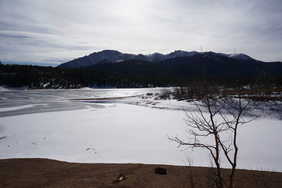
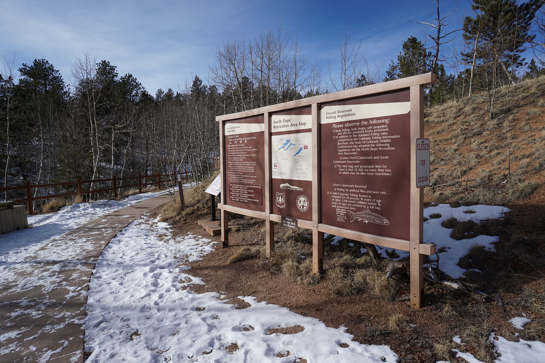
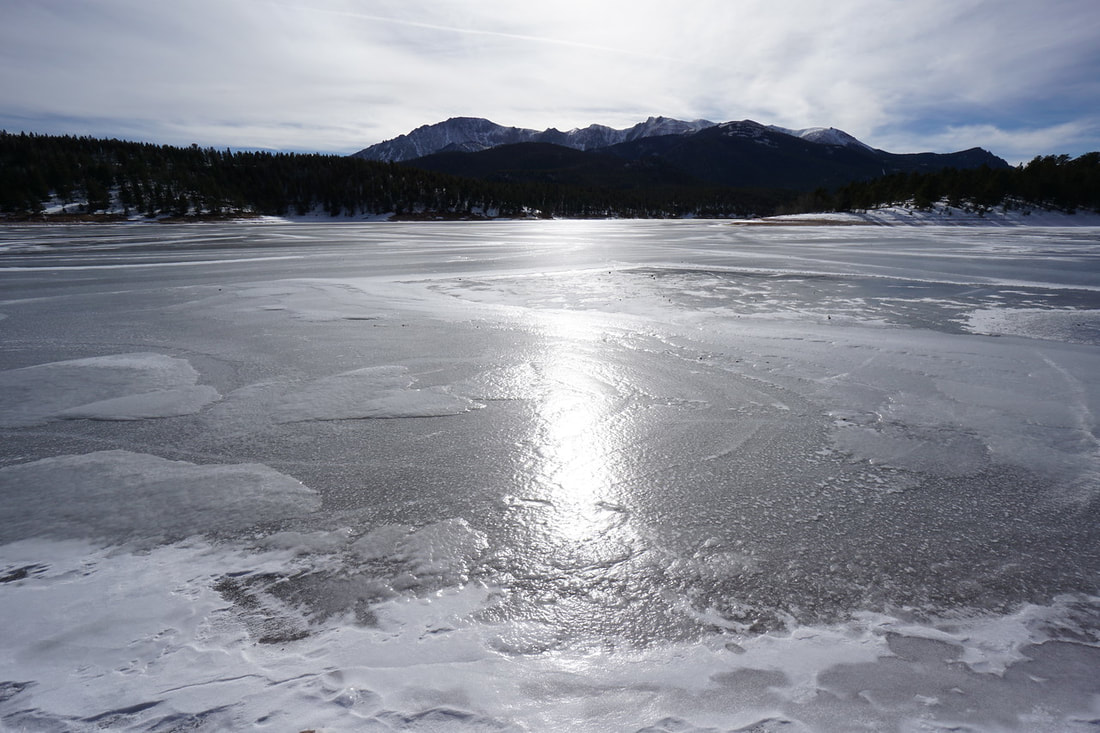
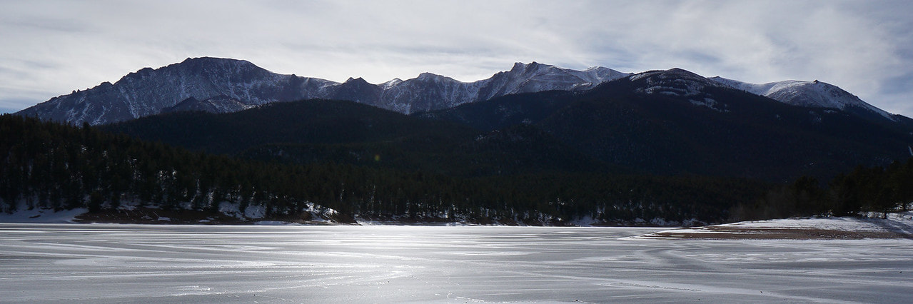
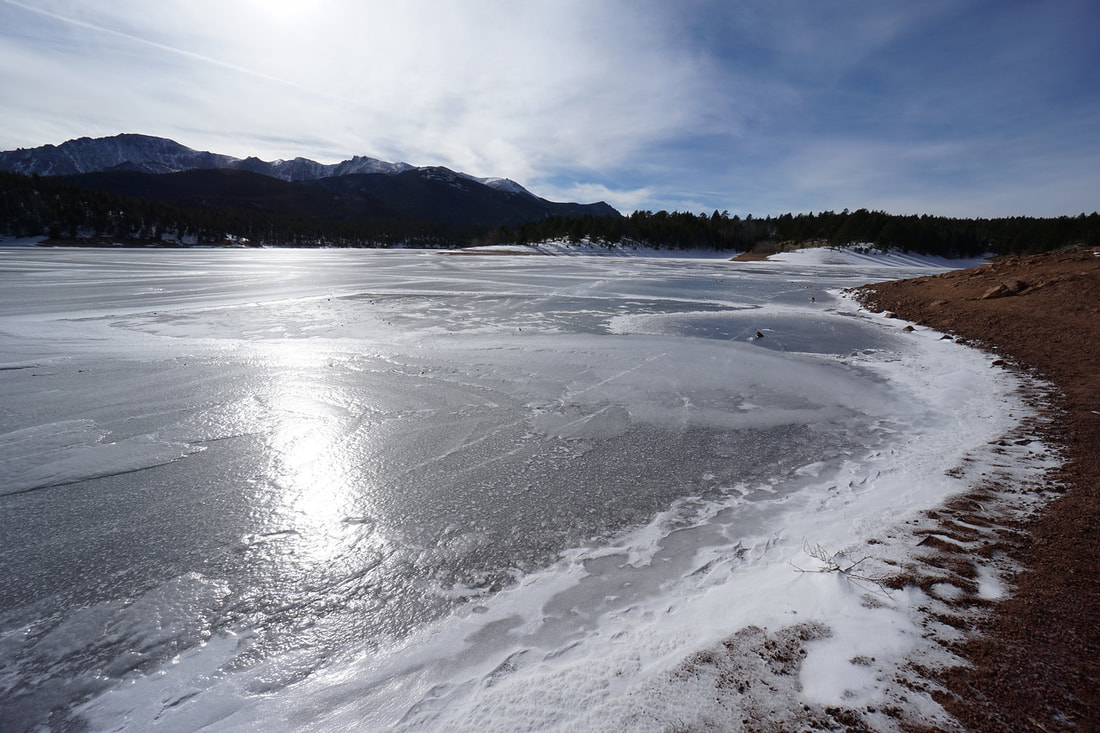
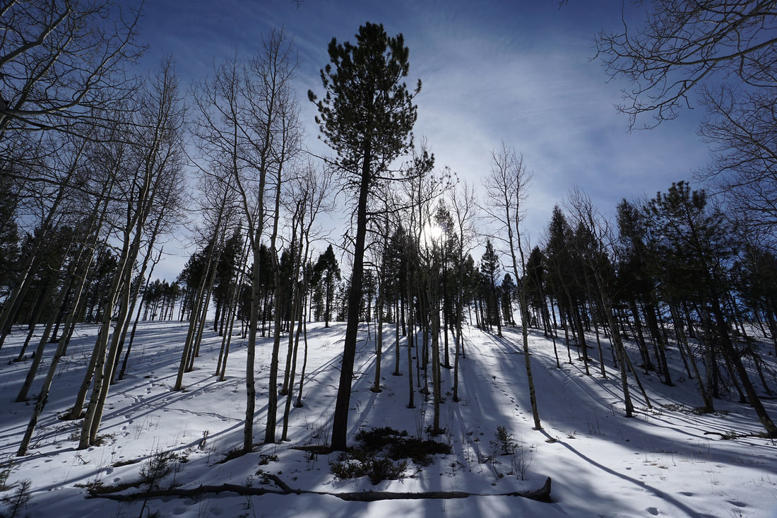
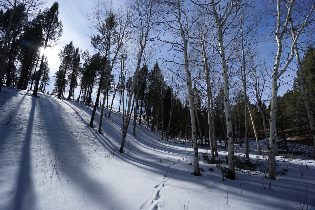
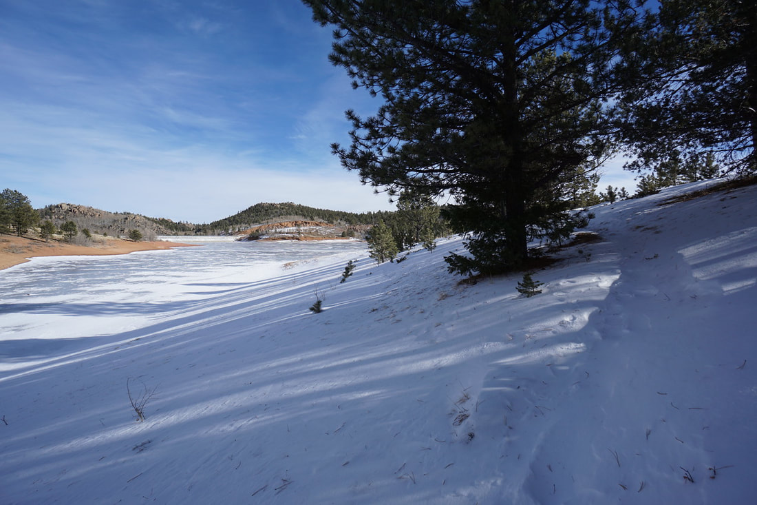
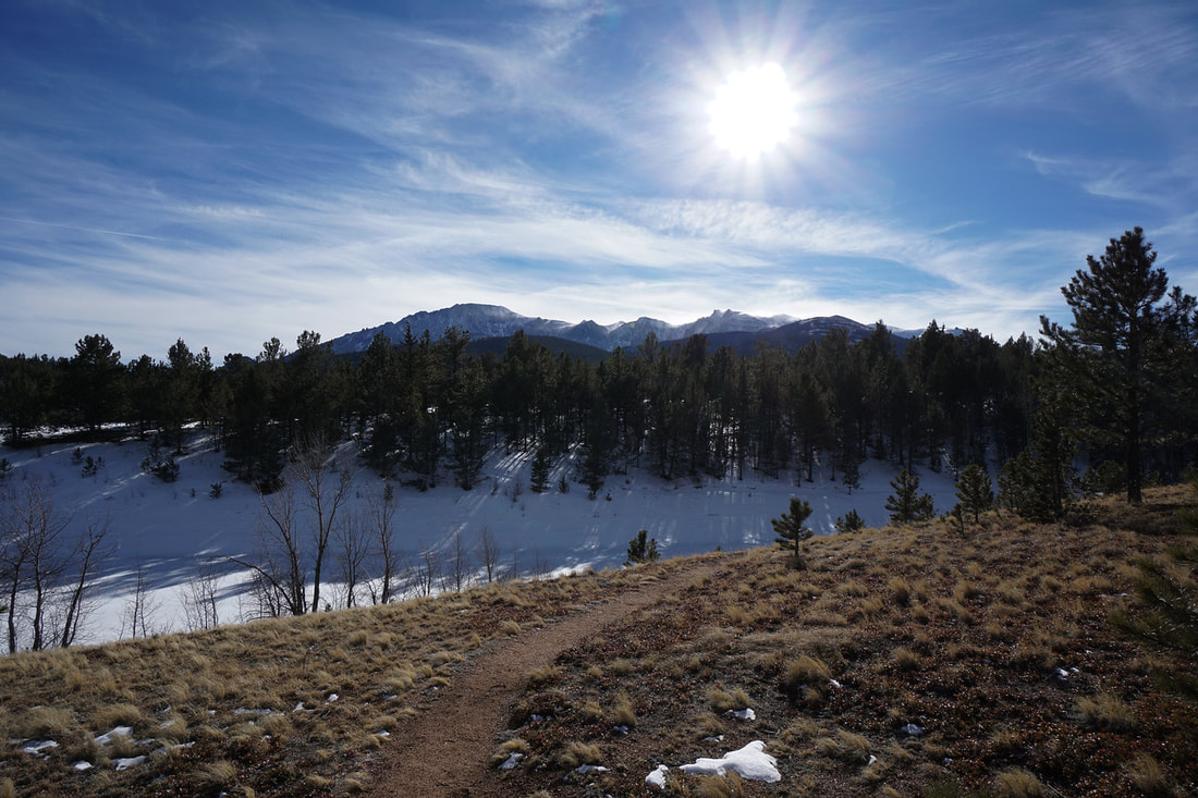
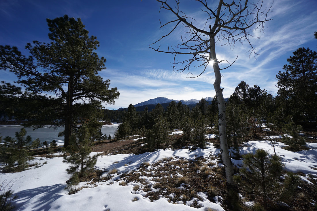
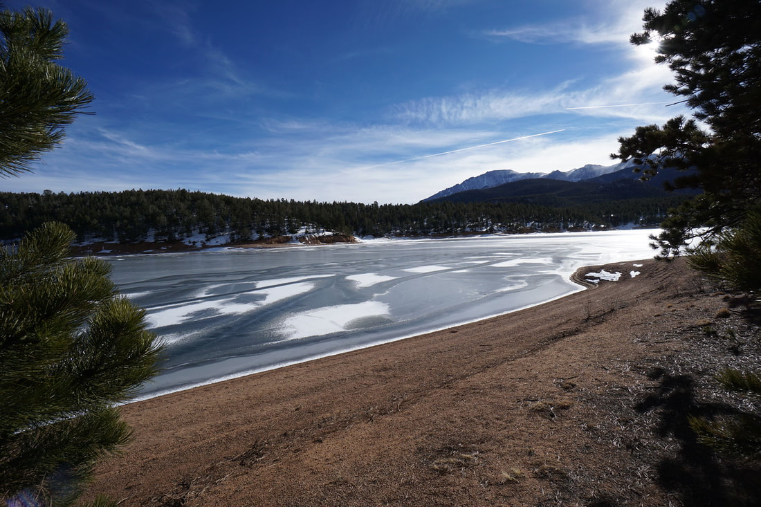
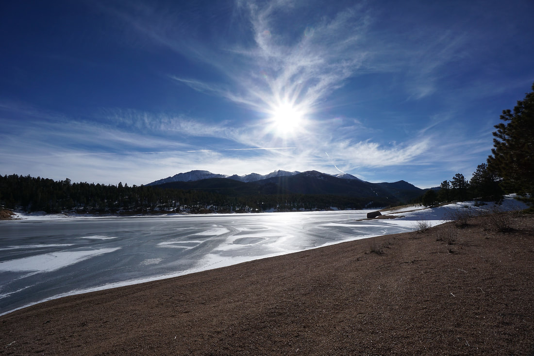
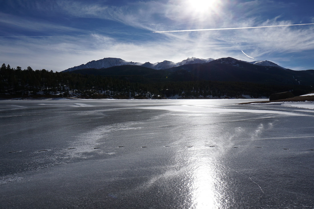
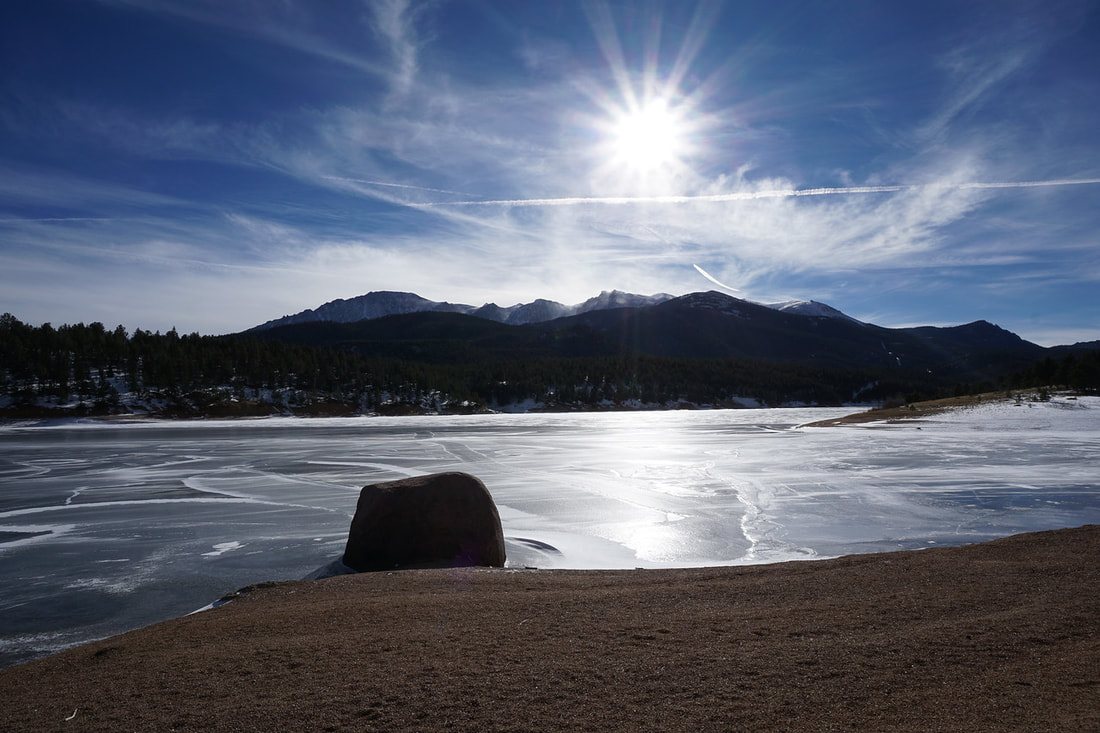
Crystal Reservoir is one of the main attractions on the way to Pike's Peak along the Pike's Peak Toll Road. With a gift shop, visitor center, and scenic overlooks the reservoir sees a lot of visitors...but not in the winter... There are few hikes along the toll road, but the Crystal Reservoir Trail is one of the more scenic ones. The trail basically follows the shoreline providing wonderful views of Pikes Peak's enormous massif towering over the water...or ice...
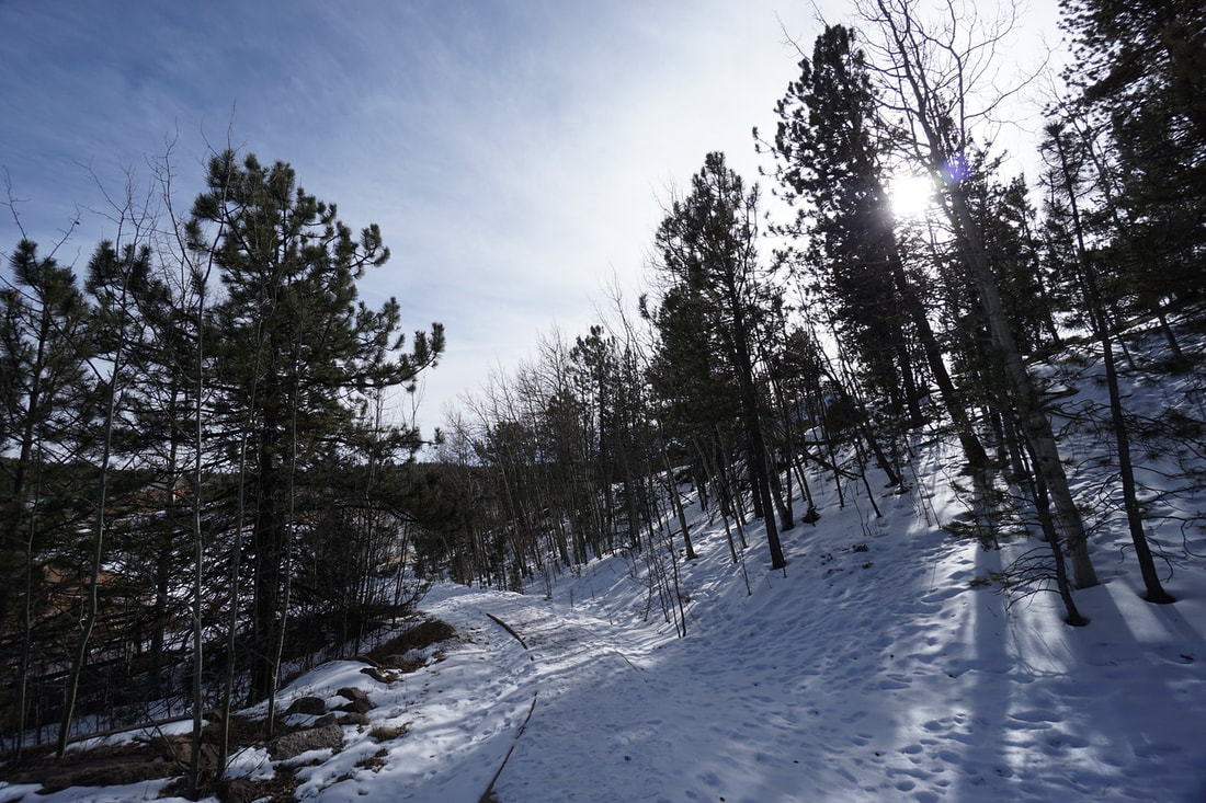
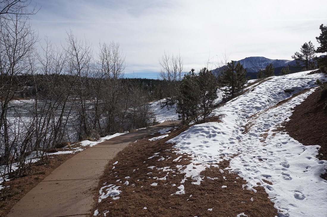
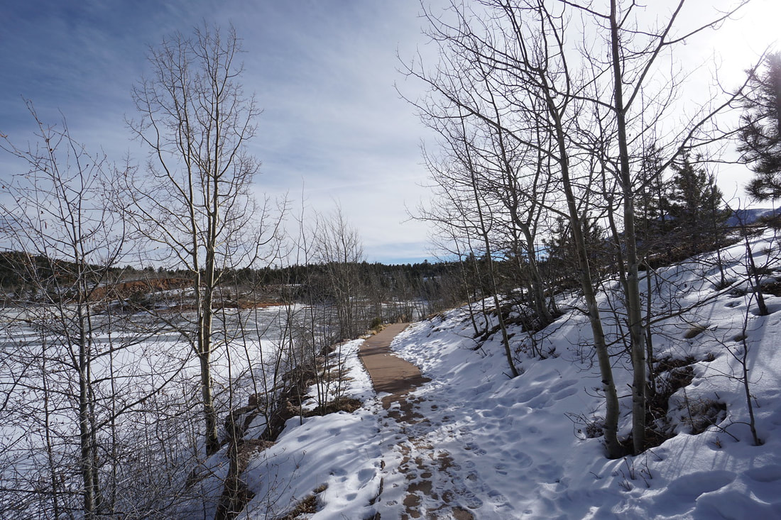
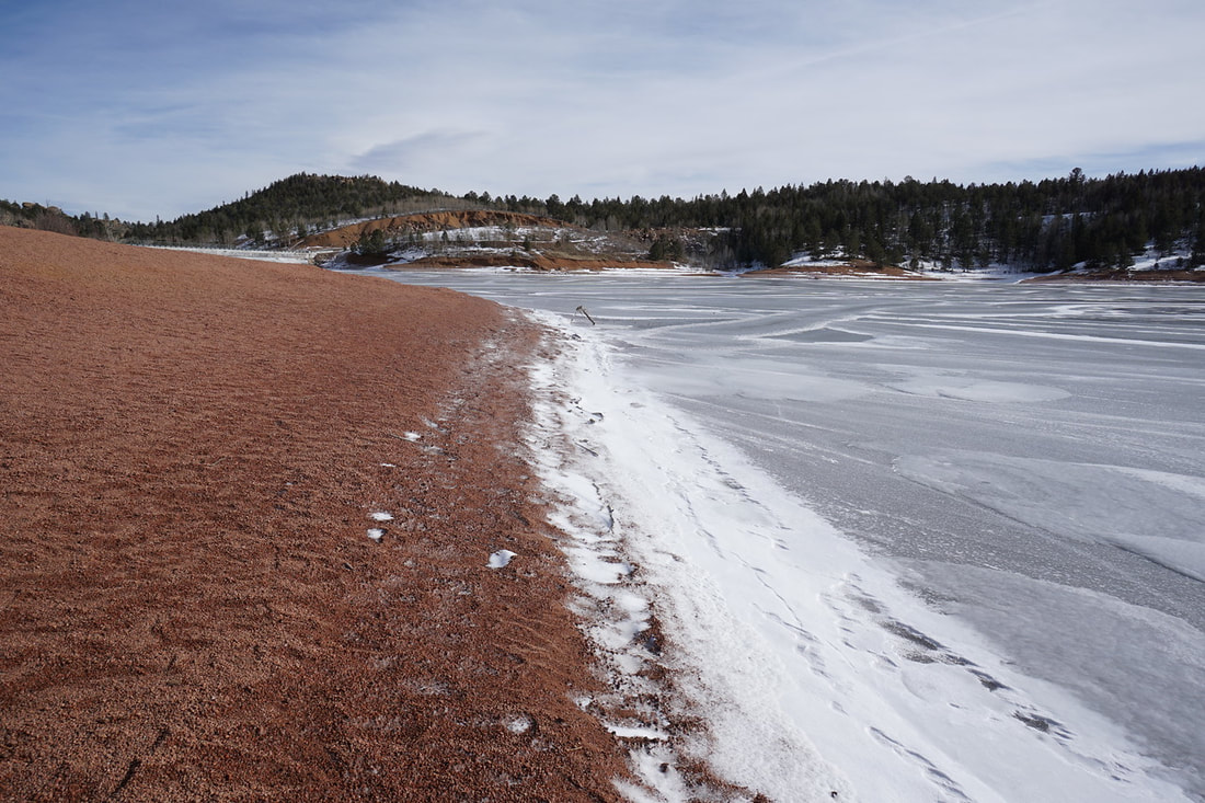
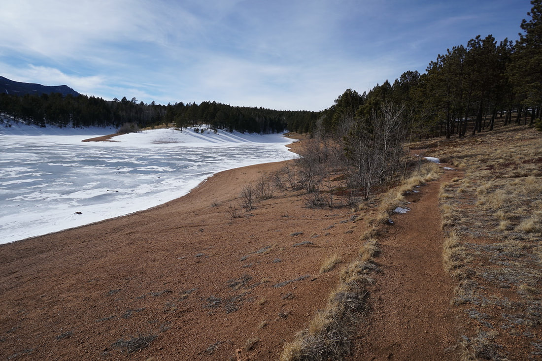
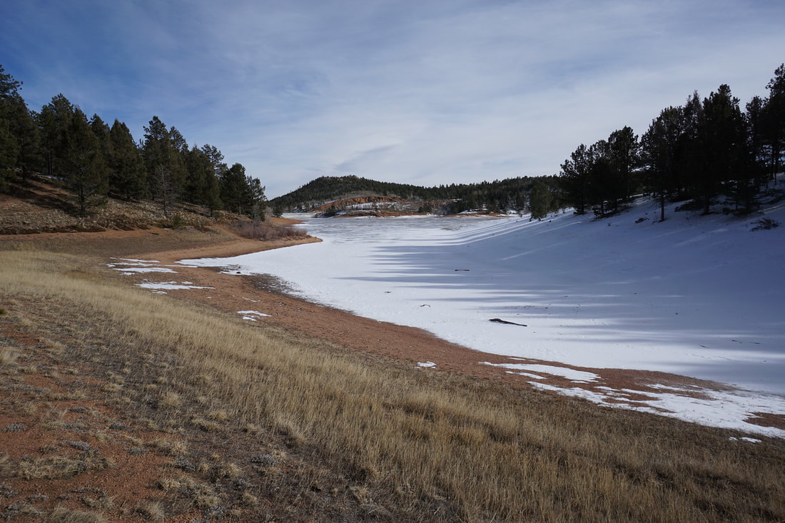
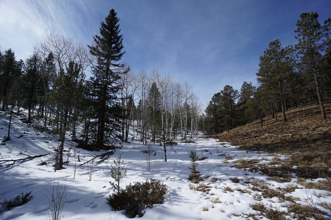
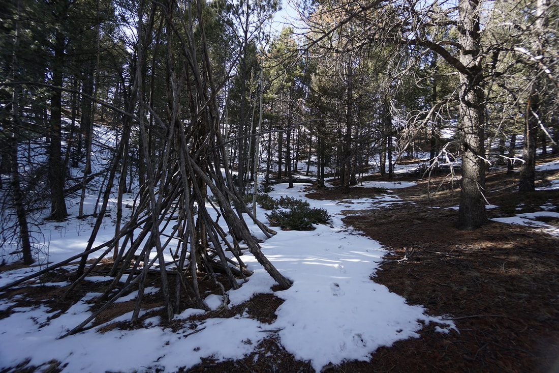
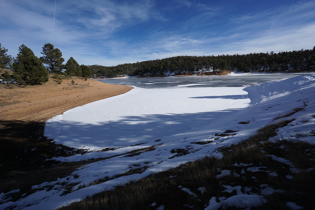
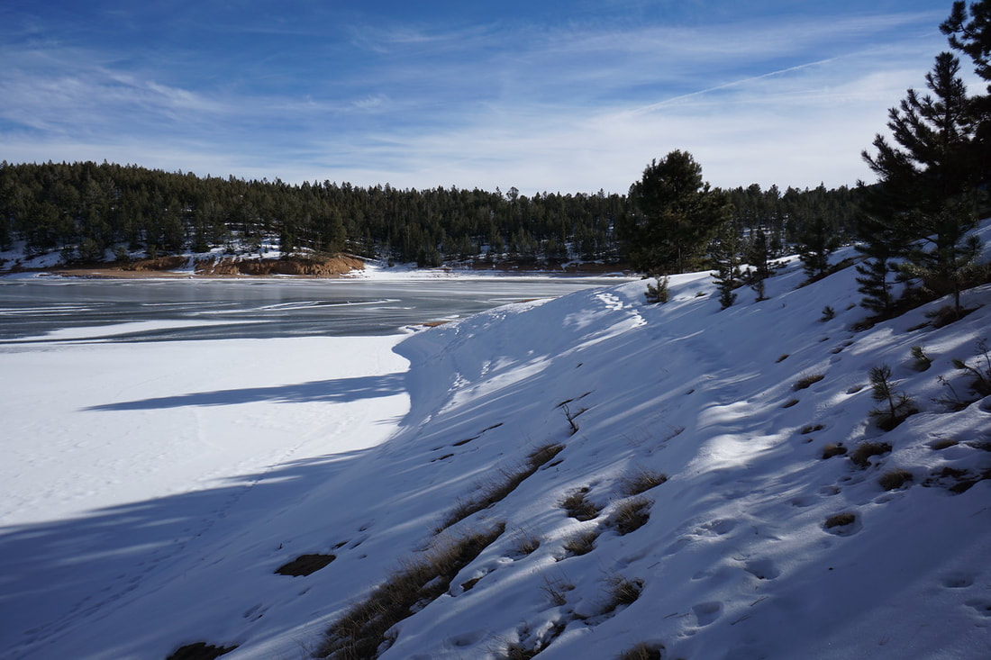
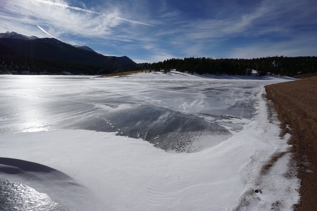
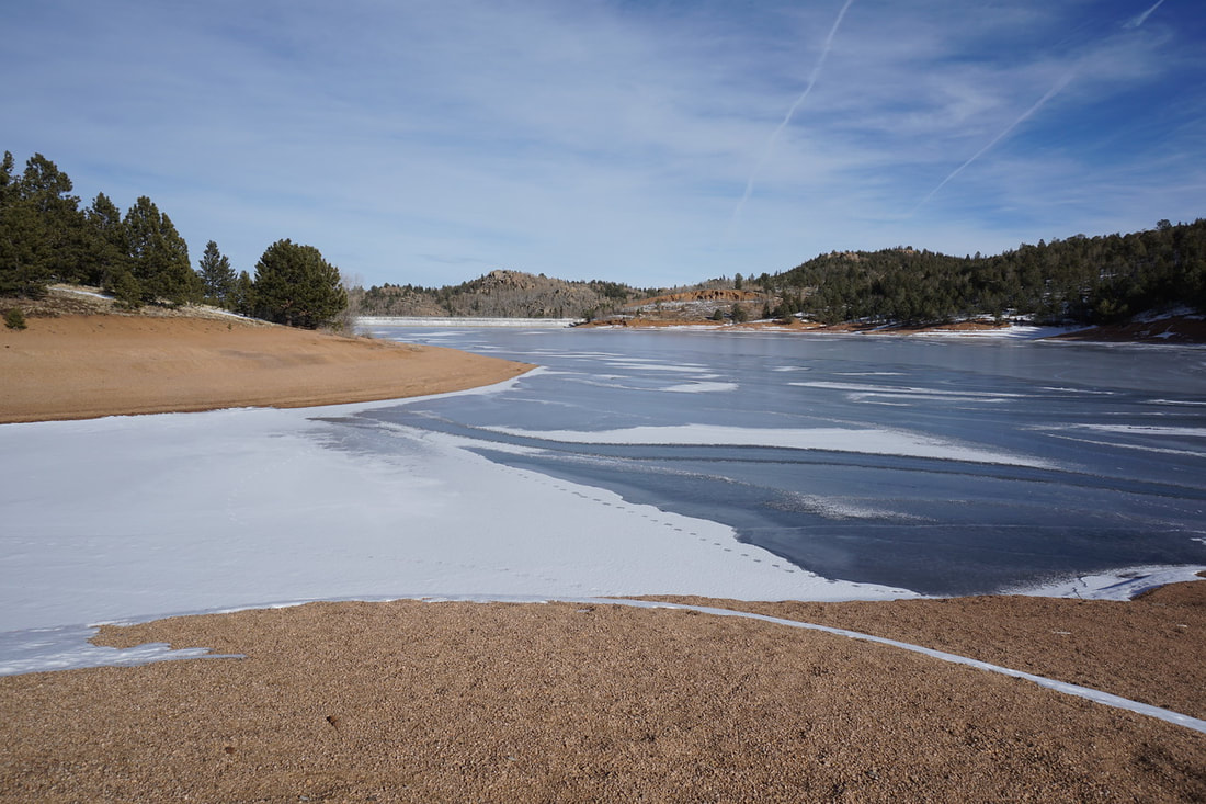
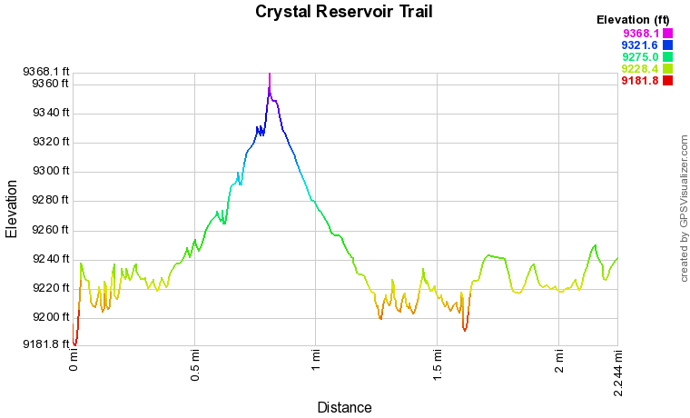
From the visitors center (closed in the winter), the trail begins as a paved walkway leading the way for anglers to reach floating docks. In the winter, the reservoir becomes a frozen sheet of ice and fishing is no longer allowed. However, the trail is still available, if you can find it buried under the snow. As you follow the trail along the shore you'll come to a series of inlets which you need to weave around. At the far end of the first inlet, there is a trail junction. The trail along the shore crosses the snow covered marsh to the other side of the inlet while the other trail heads west through a gully. This trail will most likely be covered in the snow but following the route is not difficult. This side trail crosses through serene aspen and pine forest to a shelter and camp/picnic site and the road beyond. The shoreline trail continues and splits into various trail options. You can either follow the shore, or climb the small hillsides for wider views. The trails all meet up again on the opposite sides of the inlets so you can't really take a wrong path here. The third inlet is the largest and the large rock at the mouth makes for a good turnaround point. This area is usually very windy and cold in the winter and chances are you'll be ready to return to your car by the time you reach the large rock. Of course the views of Pikes Peak are amazing so enjoy the beach and retrace your steps when you are ready. Note: In the open season, you may choose to explore the nearby Catamount Reservoirs as an alternative. Both the North and South Reservoirs have similar trails, but fewer visitors. |
|