|
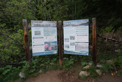
DIRECTIONS: From Nederland, take Eldora Road west from Route 119 (just south of Nederland). Follow the signs for Eldora Ski Resort but do not take the uphike turnoff for the resort. Stay on Eldora Road, through the Eldora townsite. When the road becomes dirt, you are about 1 mile from the Hessie Trailhead. Bear right and continue on Fourth of July Road for 4 miles to the Trailhead at the end of the road. This road is narrow and very rough in spots. A high clearance SUV or 4x4 is highly recommended although you'll probably see all kinds of cars at the trailhead.
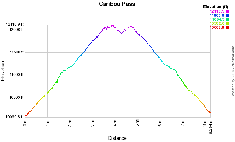
Caribou Pass sits at 11,850 ft in the heart of the Indian Peaks and has amazing views of some the range's most iconic mountain peaks. You can get to Caribou Pass from the west by starting at the Junco Lake Trailhead, or from the east by starting at the Fourth of July Trailhead. This description starts from the Forth of July Trailhead.
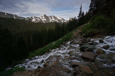
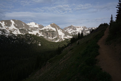
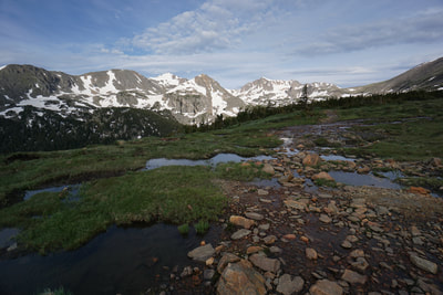
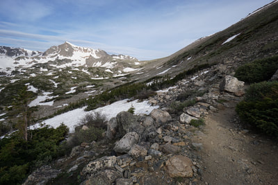
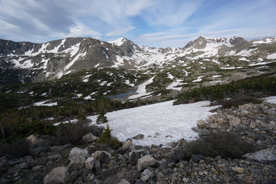
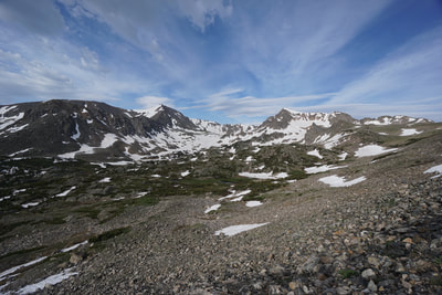
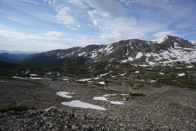
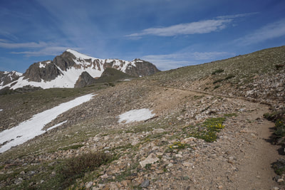
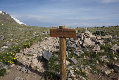
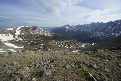
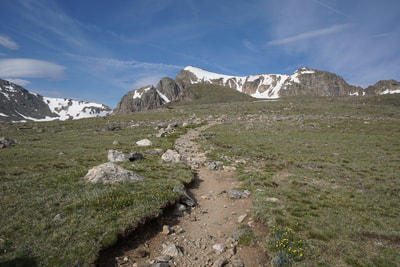
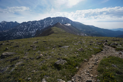
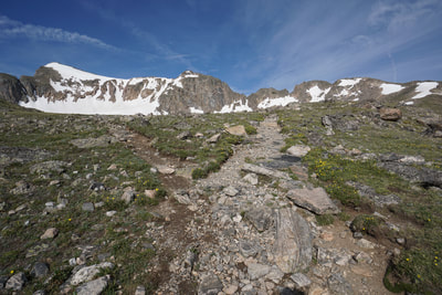
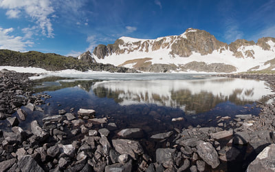
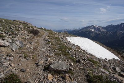
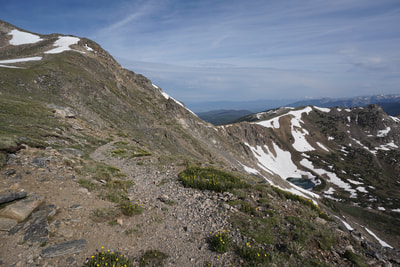
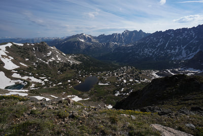
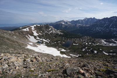
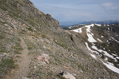
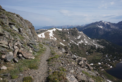
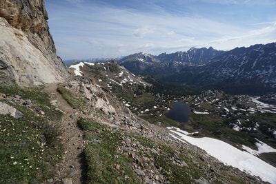
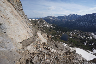
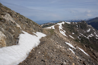
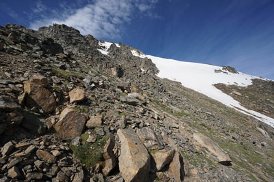
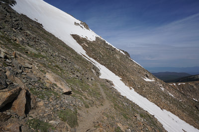
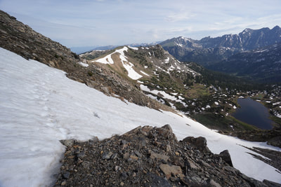
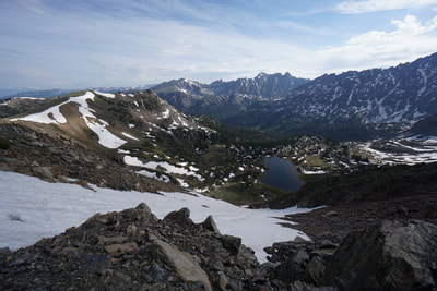
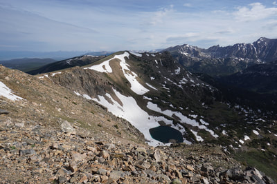
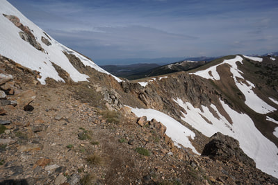
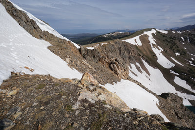
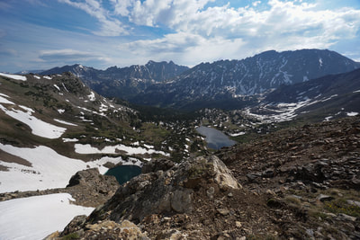
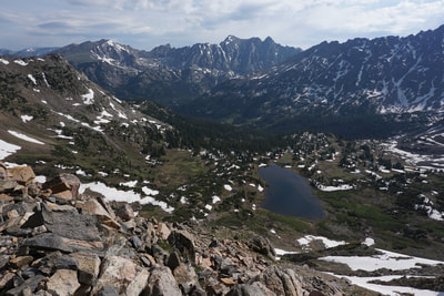
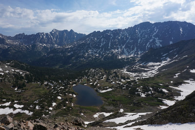
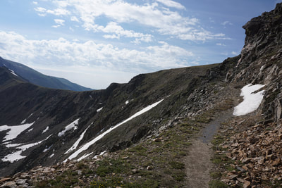
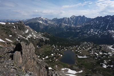
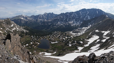
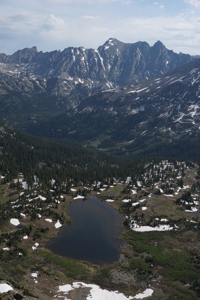
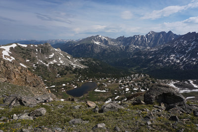
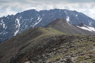
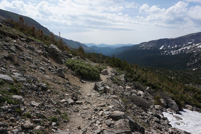
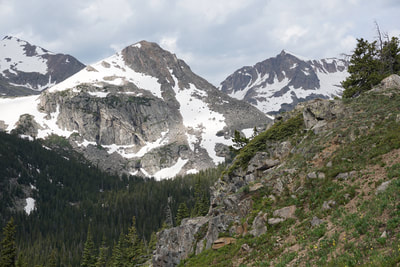
For the typical approach to Caribou Pass, climb 3.2 miles along the Arapaho Pass Trail to Arapaho Pass. The hike to Arapaho Pass is amazing with incredible views of Mt. Jasper and Mt. Neva for the entire hike. Once you reach Arapaho Pass you get your first views of the incredible Caribou Lake Basin with one of the most spectacular mountain ridge lines you're ever likely to see. For a fully detailed description of the hike to Arapaho Pass and Lake Dorothy click here. For this description we'll start at Arapaho Pass and go from there. From Arapaho Pass, the Caribou Pass Trail skirst up the hill to the west towards Lake Dorothy. At the trail split, go left for Lake Dorothy or stay straight for Caribou Pass. The spectacular view of Caribou Lake Basin and the mountains beyond stays with you for the entirety of the Caribou Pass trail, and gets even better the further you go. Across the basin stands Apache Peak, Navajo Peak, and Arikaree Peaks with the mother of all sawtooth ridges connecting them all. To the south of Arikaree are North and South Arapaho Peaks with another fantastical ridge line. The Caribou Pass Trail consists of a narrow ledge carved into the side of a steep slope leading down to Caribou Pass from Lake Dorothy. The trail is only half a mile long but will get your adrenaline going. In the late summer/early this trail is perfectly safe and easy aside from the exposure. However, be careful in the early season as lingering snowfields can cause extremely hazardous conditions. When I hiked this trail there were four snowfields with the last two being impassable, and 2018 has been an extremely dry season. Don't mess around with these snowfields, they are very steep and the first one leads all the way down to Caribou Lake, 1,000 ft below. Luckily, the first two fields were relatively easily bypassed by a quick off trail scramble to higher ground. Even if you don't go all the way to Caribou Pass, the views from the trail are simply amazing and the trail is a blast. |
- HOME
- ABOUT
-
HIKES BY REGION
-
NATIONAL PARK HIKES
- BENT'S OLD FORT NATIONAL HISTORIC SITE
- BLACK CANYON OF THE GUNNISON NATIONAL PARK
- COLORADO NATIONAL MONUMENT
- CURECANTI NATIONAL RECREATION AREA
- DINOSAUR NATIONAL MONUMENT
- FLORISSANT FOSSIL BEDS NATIONAL MONUMENT
- MESA VERDE NATIONAL PARK
- ROCKY MOUNTAIN NATIONAL PARK
- GREAT SAND DUNES NATIONAL PARK
- HOVENWEEP NATIONAL MONUMENT
- SAND CREEK MASSACRE NATIONAL HISTORIC SITE
- YUCCA HOUSE NATIONAL MONUMENT
- HIKES BY CATEGORY
- NEWS
- WEBCAMS
- $UPPORT GHC
- INTERACTIVE MAP
Caribou Pass
Indian Peaks Wilderness, Roosevelt National Forest
Date Hiked: June 16, 2018
Distance: 8.5 mi (RT)
Elevation Gain: 2,300 ft
Elevation Min/Max: 10,070 to 12,120 ft
Trailhead Lat/Long: 39º 59' 40" N; 105º 38' 03" W
Managing Agency: U.S. Forest Service
Fee: None

