|
DIRECTIONS: From I-70 in Walsenberg, head east on CO Hwy 10/Route 160 for 16.7 miles. Turn left (north) on County Rd 123 a good dirt road. At the 4 1/2 mile mark, turn left (west) on County Rd 125. After another 1.6 miles, bear right and turn north, now on County Rd 123. Follow 123 for another 3 3/4 miles to the Kenner Ranch/Wilson Crossing Trailhead.
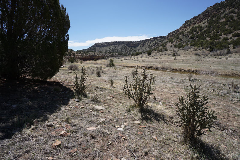
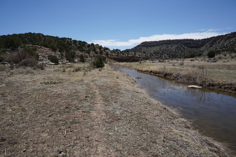
Cuchara Canyon is a rare hidden gem in the eastern plains of Colorado. The canyon was cut by the Cuchara River that flows south into the Cuchara Reservoir just east of Walsenberg. The canyon is managed by the Bureau of Land Management (BLM) and has a few different access points. There is not much info about this area on the BLM's website, or anywhere else for that matter. As this was my first exploration of the canyon, I chose to access via Kenner Ranch on the eastern rim of the canyon. From the little information that I was able to find, this seemed like the most developed trailhead.
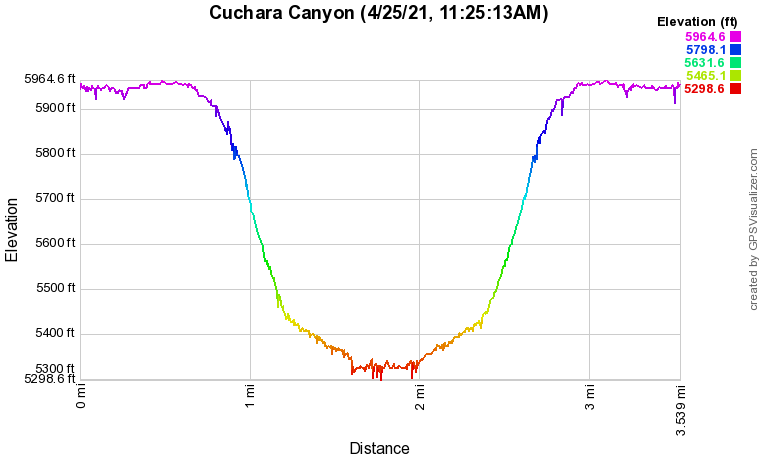
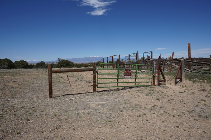
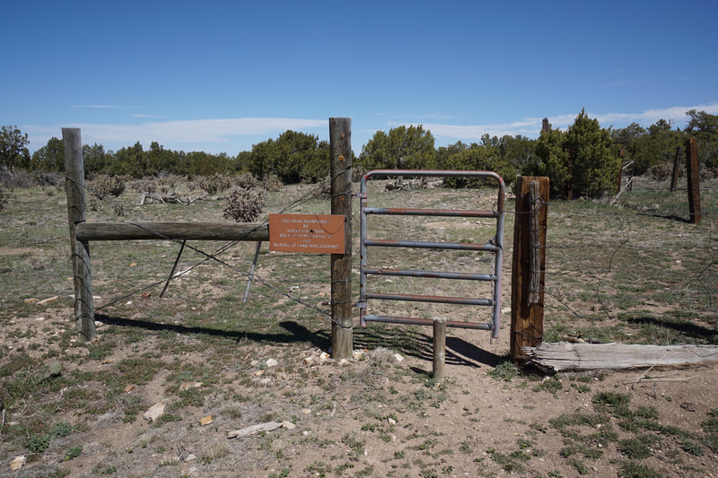
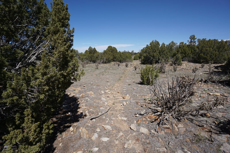
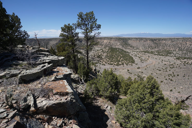
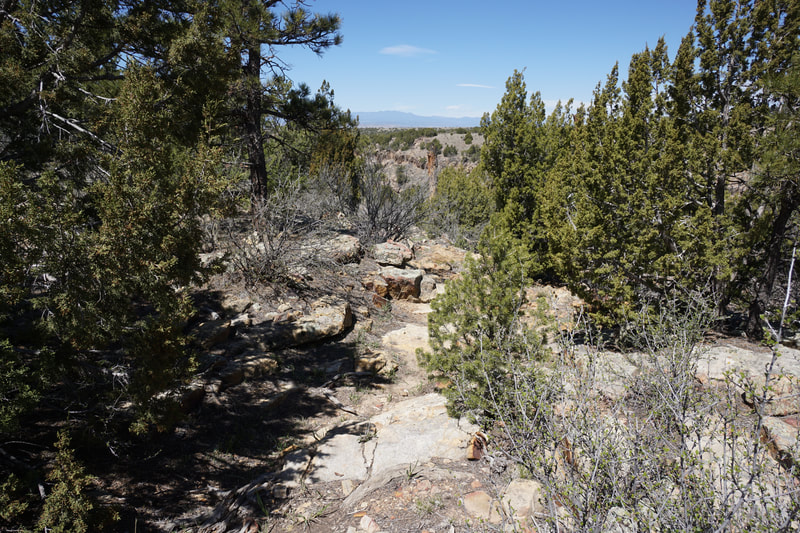
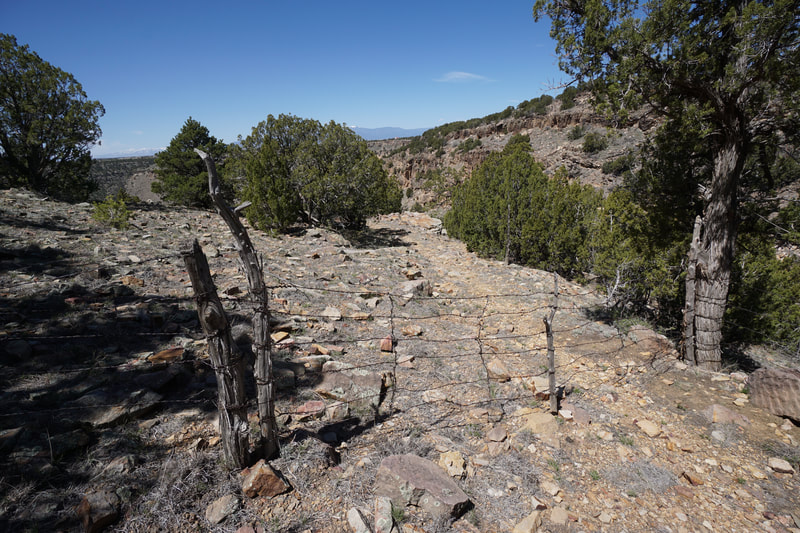
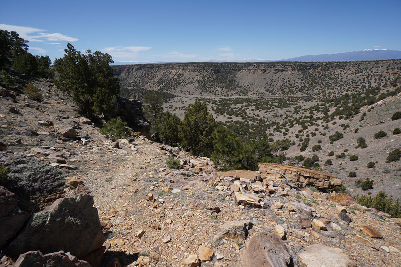
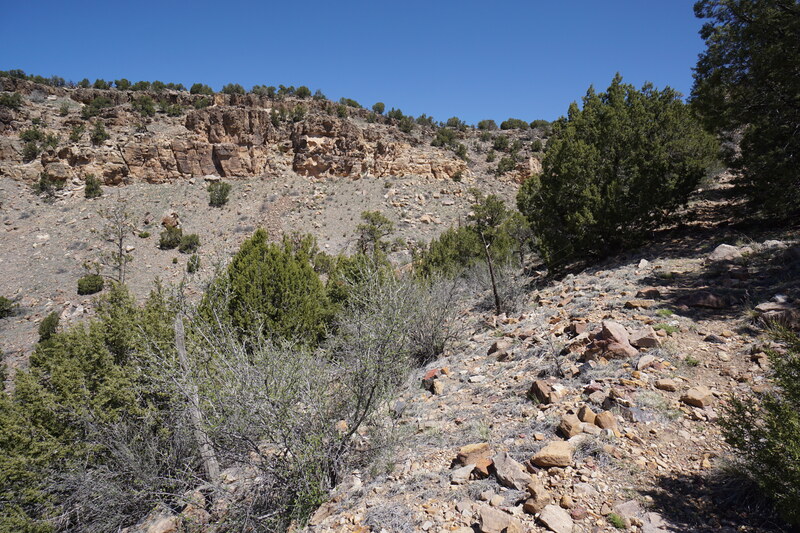
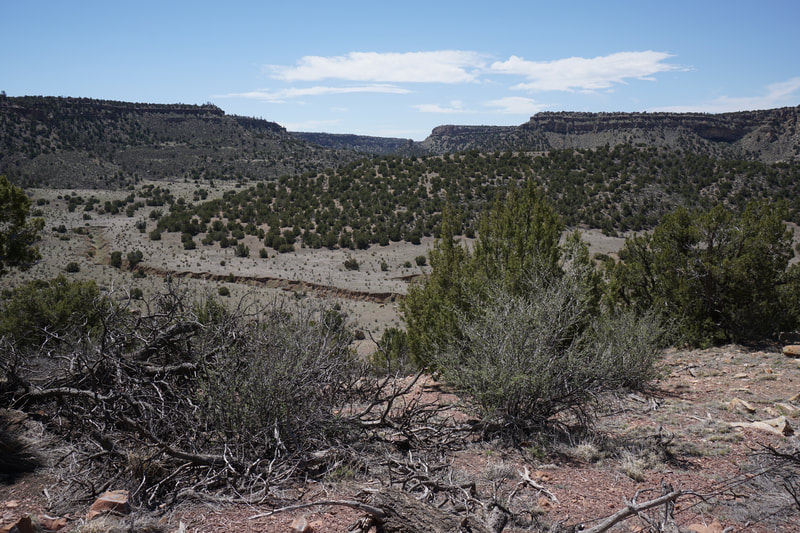
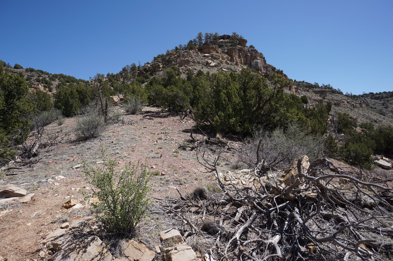
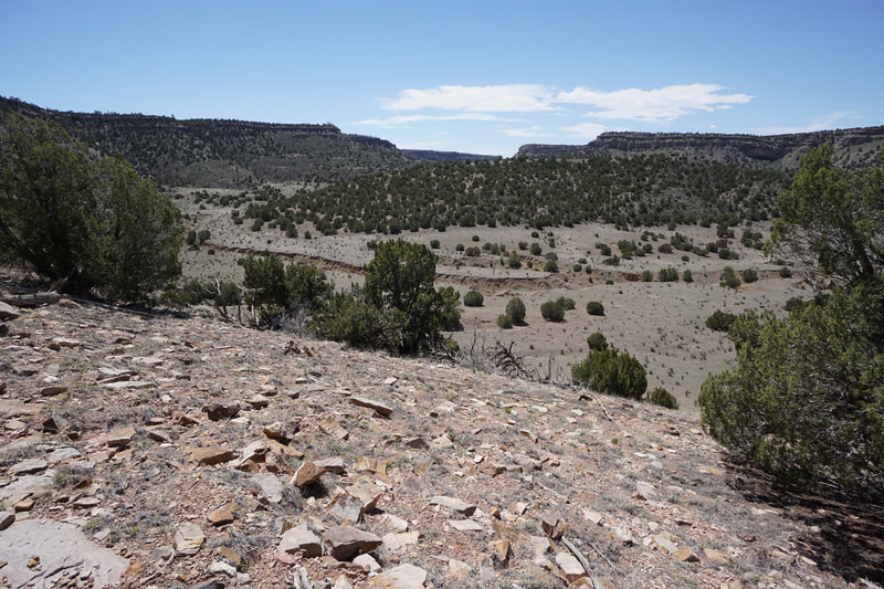
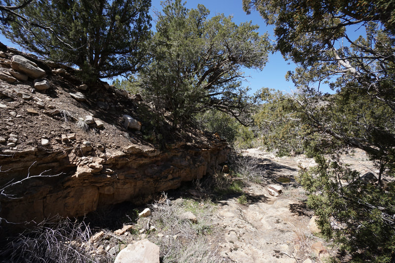
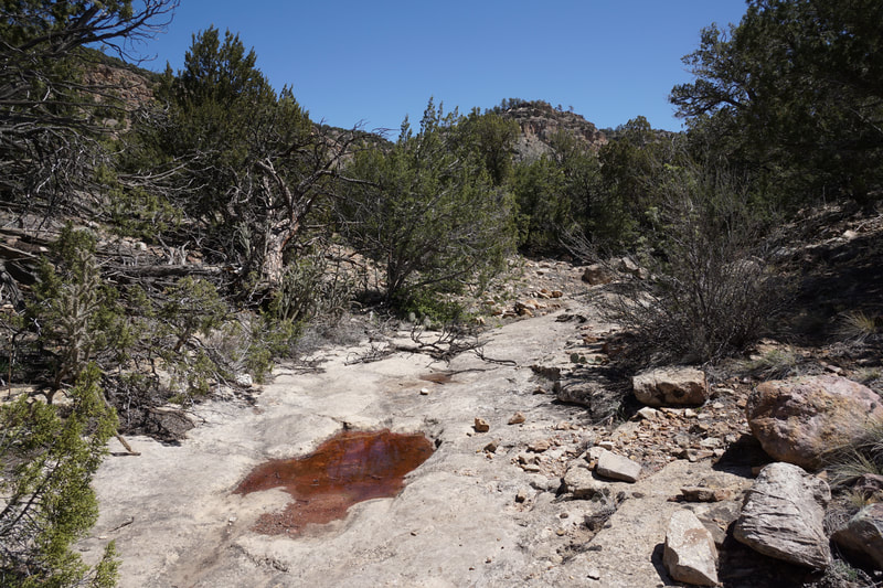
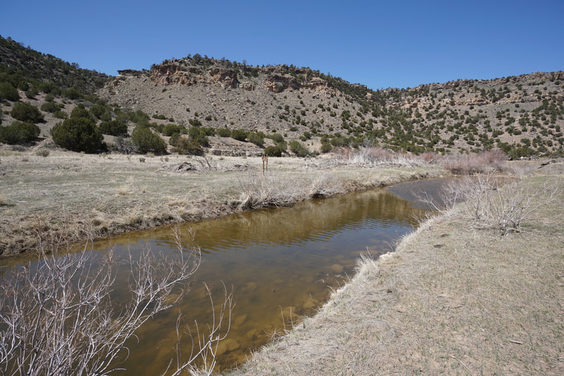
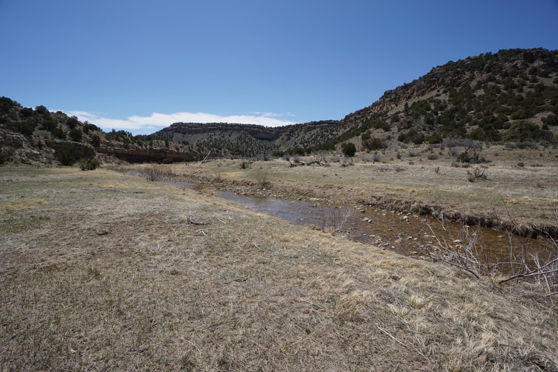
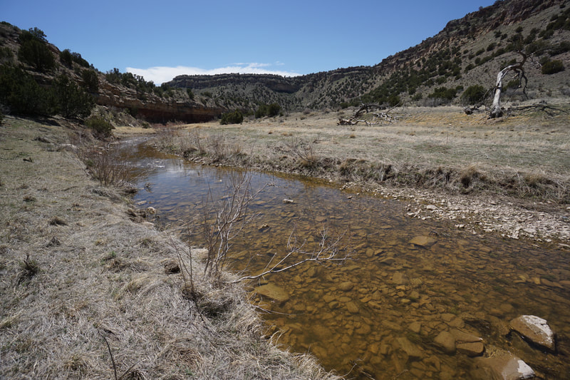
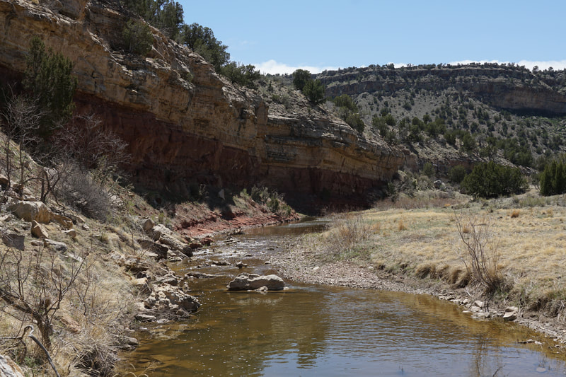
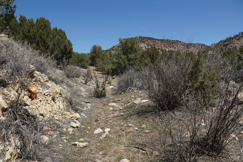
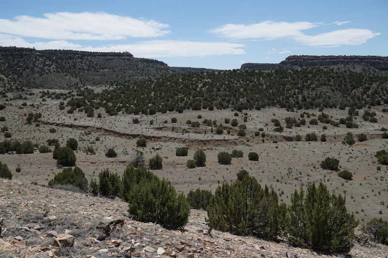
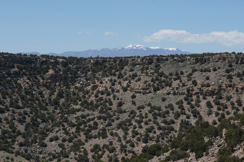
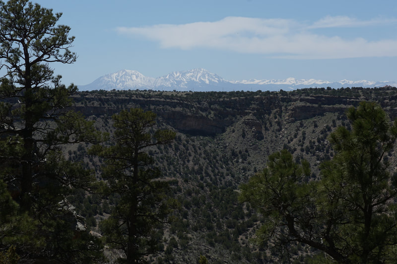
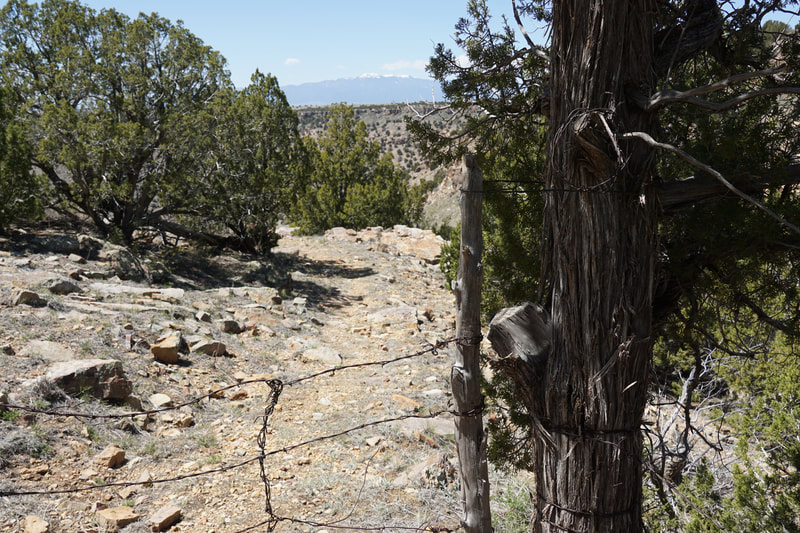
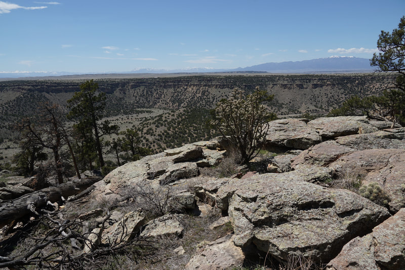
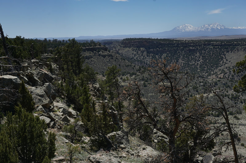
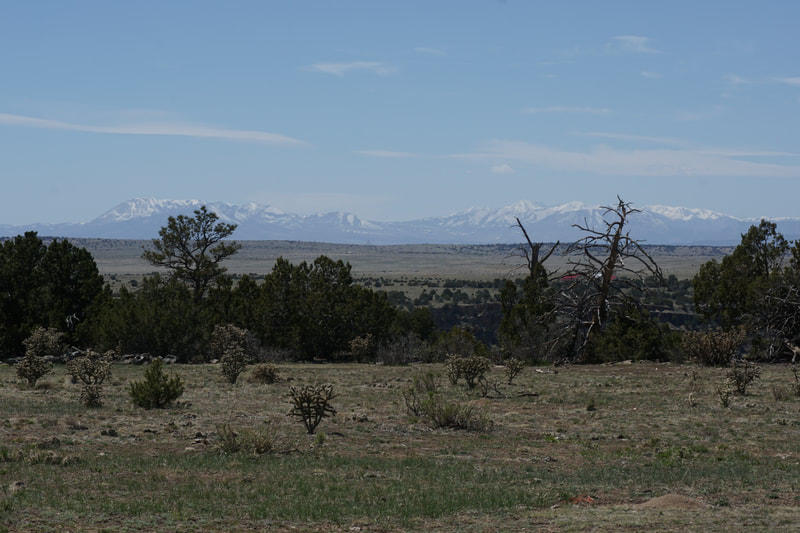
The trail is maintained by the Rocky Mountain Backcountry Horseman (thanks Horesman...and women...) and is really more of a route, then a trail. In order to find the trail, park and walk through the gate. At the "Wilson Crossing" sign turn right (north) and follow the edge of the historic stables to a gate with a sign on it. Enter the gate and follow the faint trail. The trail becomes more discernible past the gate and should be easy to follow. Keep your eyes to the west and when you find a clearing, I highly recommend leaving the trail for a few minutes to visit the canyon rim. The rocky rim provides a wonderful view across the canyon with the Spanish Peaks and the Sangre De Cristo Mountains in the background. The trail stays up on the plains, just back from the rim of the canyon, for about half a mile before it starts to descend down a rocky trail. You will soon come to a barb wire "gate." It might not be immediately discernible, but you need to take the wire holder off the post and pull it away to pass through...be sure to re-secure the post from the other side. The trail continues its descent along some switchbacks and the views across the canyon begin to open up. When you get your first big views of the canyon, it is striking. This is a truly beautiful spot and you'll forget for a moment that you are east of I-70. The trail descends and soon disappears. At this point the official "trail" just follows the dry creek bed down to the Cuchara River. The creek is easy to follow and you'll have no trouble finding your way to Wilsons Crossing. When you reach the river, you'll see a sign on the far side. The crossing may be difficult in the early season when the water is high and fast. You have a few options when you hit the river. You can cross the river and follow the trail south through the canyon for 7 miles to the Sheep Crossing Trailhead on the Western Rim; you can cross the river and climb up the western canyon wall to the western Wilson Crossing Trailhead; or you can not cross the river and follow a social trail along the river for a few minutes to a nice spot near a colorful cliff wall. This is what we did and it was a nice relaxing spot before climbing back out. This Canyon really feels remote and undiscovered...on a spring Sunday, we saw no one... The BLM doesn't promote this area which has its benefits and drawbacks. It's nice that there are not many other visitors here but it is a remarkable spot and should be enjoyed. For now, I look forward to more exploration from the Western Trailheads. |
- HOME
- ABOUT
-
HIKES BY REGION
-
NATIONAL PARK HIKES
- BENT'S OLD FORT NATIONAL HISTORIC SITE
- BLACK CANYON OF THE GUNNISON NATIONAL PARK
- COLORADO NATIONAL MONUMENT
- CURECANTI NATIONAL RECREATION AREA
- DINOSAUR NATIONAL MONUMENT
- FLORISSANT FOSSIL BEDS NATIONAL MONUMENT
- MESA VERDE NATIONAL PARK
- ROCKY MOUNTAIN NATIONAL PARK
- GREAT SAND DUNES NATIONAL PARK
- HOVENWEEP NATIONAL MONUMENT
- SAND CREEK MASSACRE NATIONAL HISTORIC SITE
- YUCCA HOUSE NATIONAL MONUMENT
- HIKES BY CATEGORY
- NEWS
- WEBCAMS
- $UPPORT GHC
- INTERACTIVE MAP
Wilson Crossing via Kenner Ranch
Cuchara Canyon (BLM Public Lands)
Date Hiked: April 25, 2021
Distance: 3.4 mi (RT)
Elevation Gain: 620 ft
Elevation Min/Max: 5,325 to 5,954 ft
Trailhead Lat/Long: 37.84450, -104.55311
Managing Agency: Bureau of Land Management (BLM)
Fee: None

