|
|
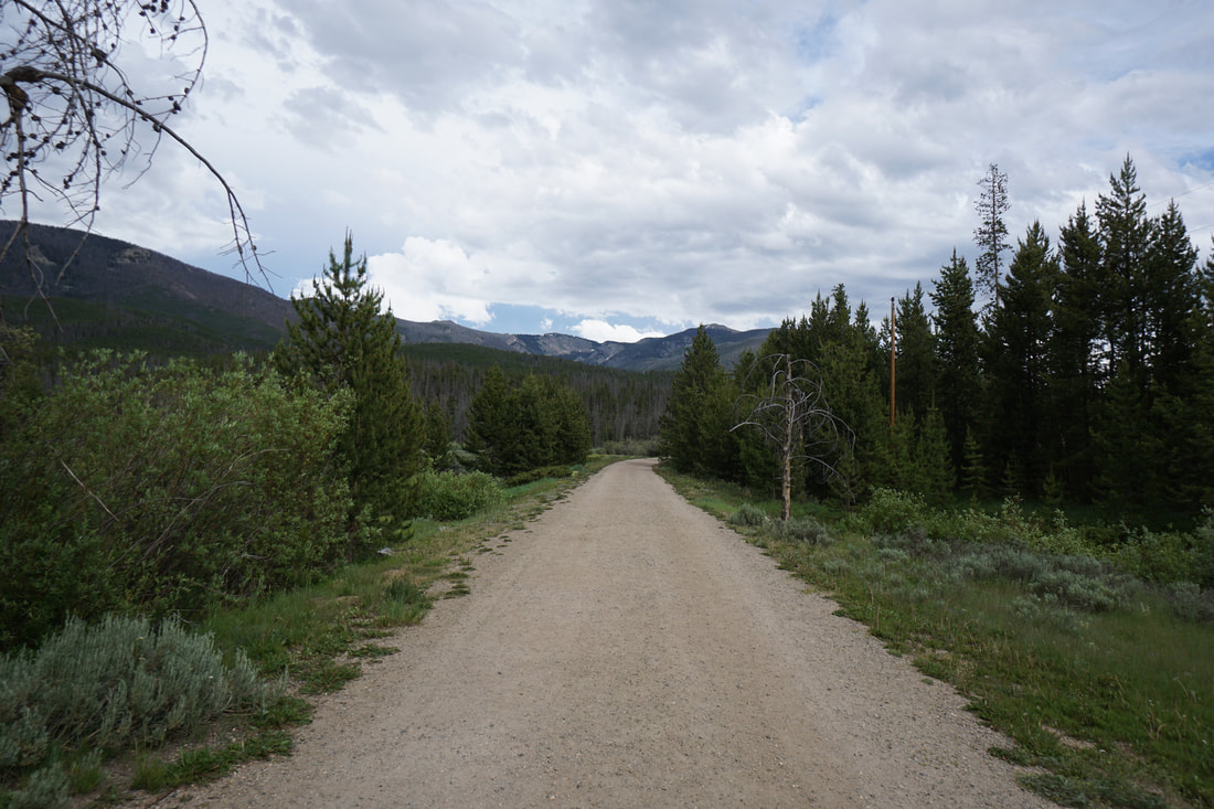
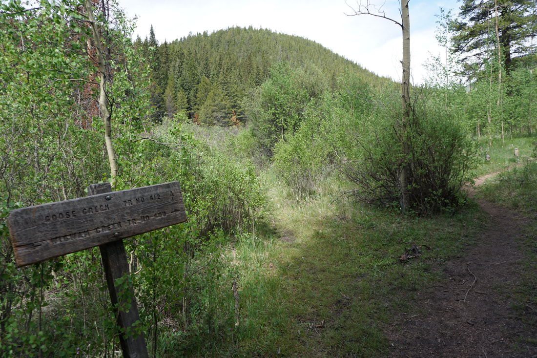
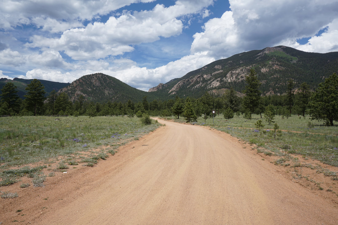
Directions: From Denver take Hwy 285 south to Pine Junction. Turn left and head south down 126 Pine Valley Road (which becomes Deckers Road) through the towns of Pine and Buffalo Creek. Stay on 126 until you reach the Cheesman Canyon Trailhead and Parking Area. Just past the parking area turn right on Road 211 also called Wigwam Creek Road towards Cheesman Reservoir. Re-start your odometer to 0 and enter the Hayman Fire Restoration Area At 2 miles, turn right at the gate following signs to Wigwam TH. At 3 miles turn right at the sign for Wigwam TH. At 4.5 miles bear right. At 7 mi turn left to Wigwam TH. Finally, at 8 mile you'll arrive at trailhead. The road through the Hayman Fire Restoration Area is a good dirt road, generally ok for passenger vehicles. However, it is narrow in spots and can be rough and rocky, especially in bad weather. SUV or 4WD is recommended.
|
The Lost Creek Wilderness (LCW) is a wonderful place... The LCW is known for having very long approach hikes and necessitates a multi-day backpacking trip to really get into the heart of the wilderness area. However, there are a few day hikes that explore the LCW's treasures, and the Wigwam Trail to Wigwam Park is one of them.
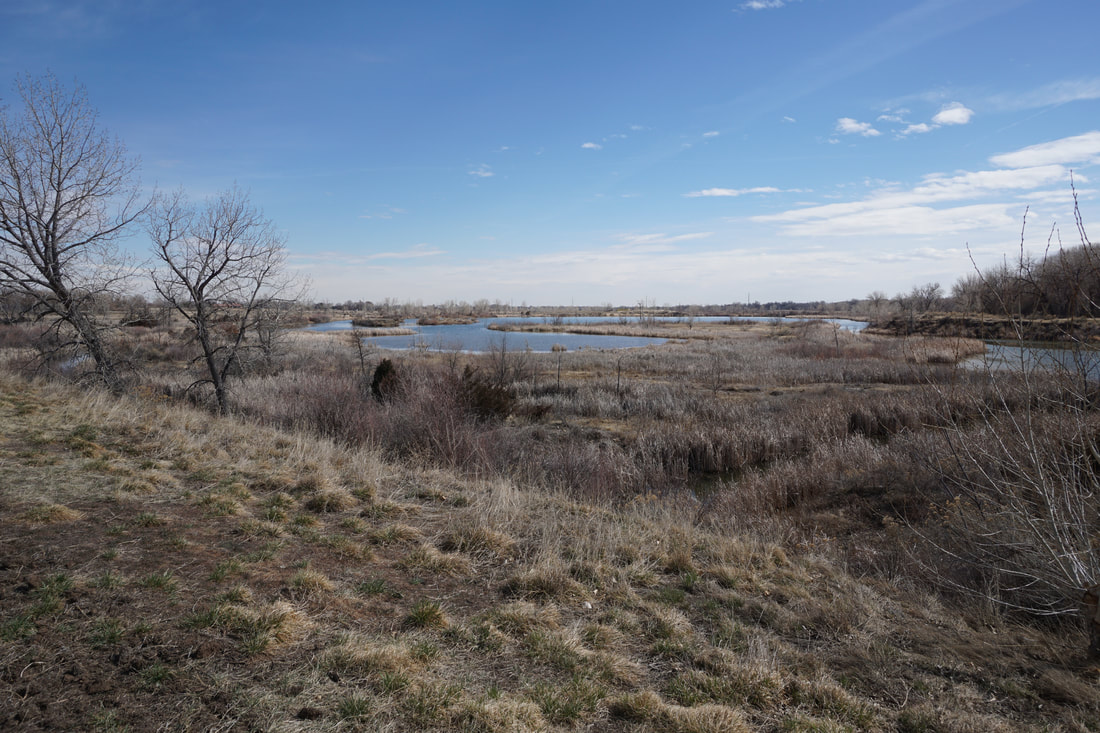
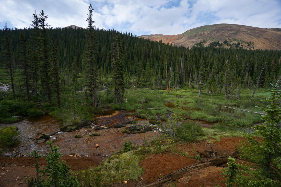
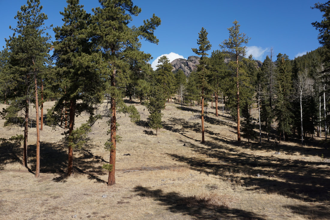
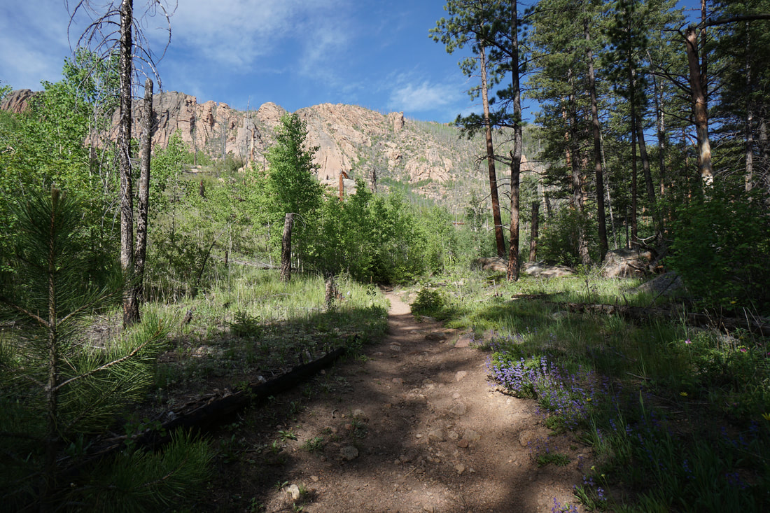
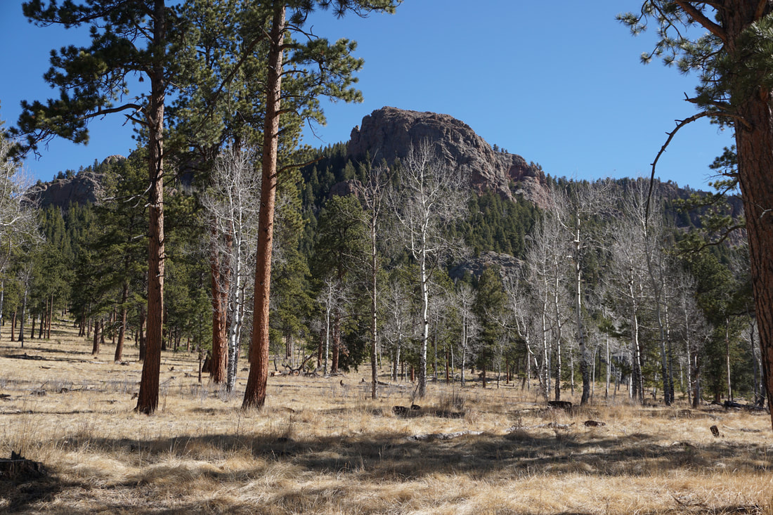
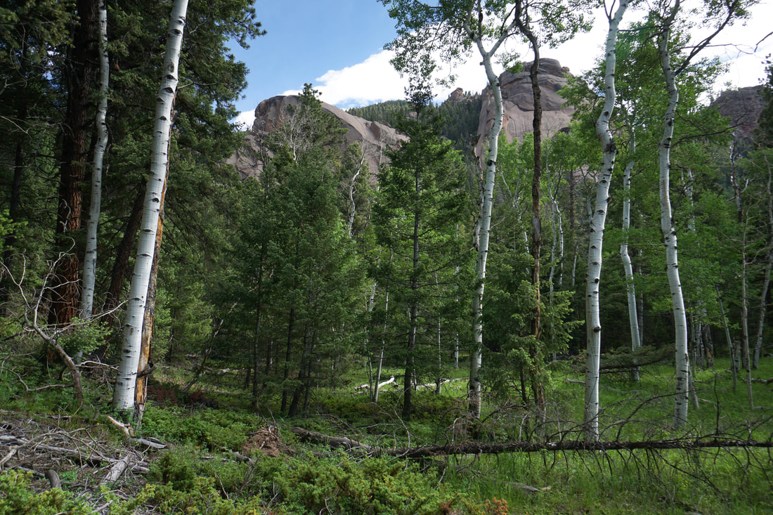
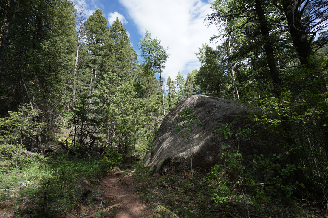
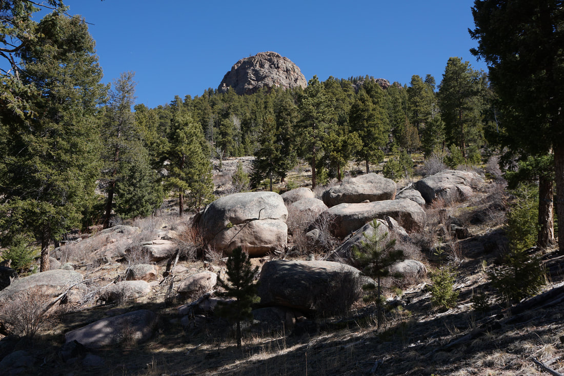
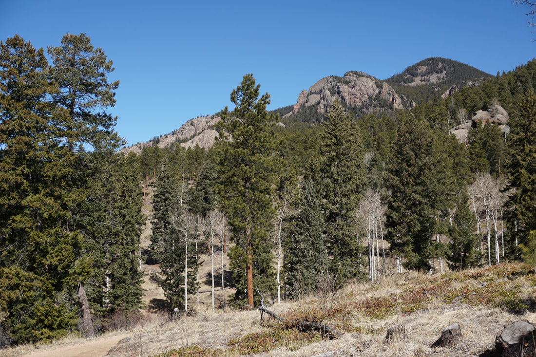
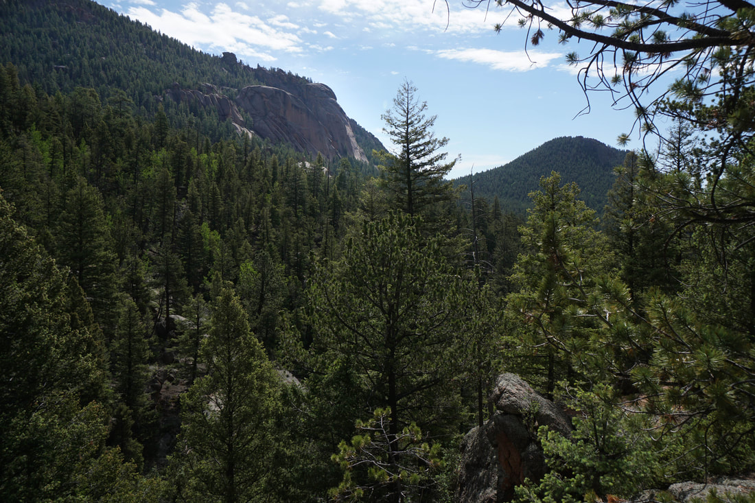
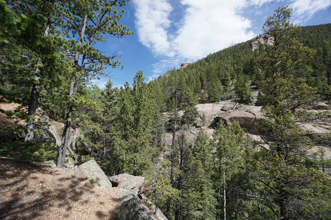
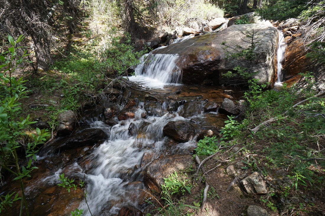
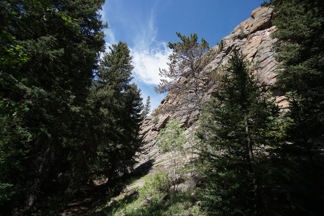
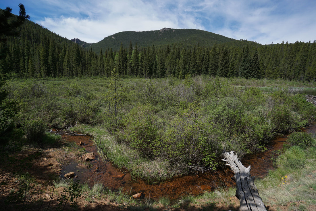
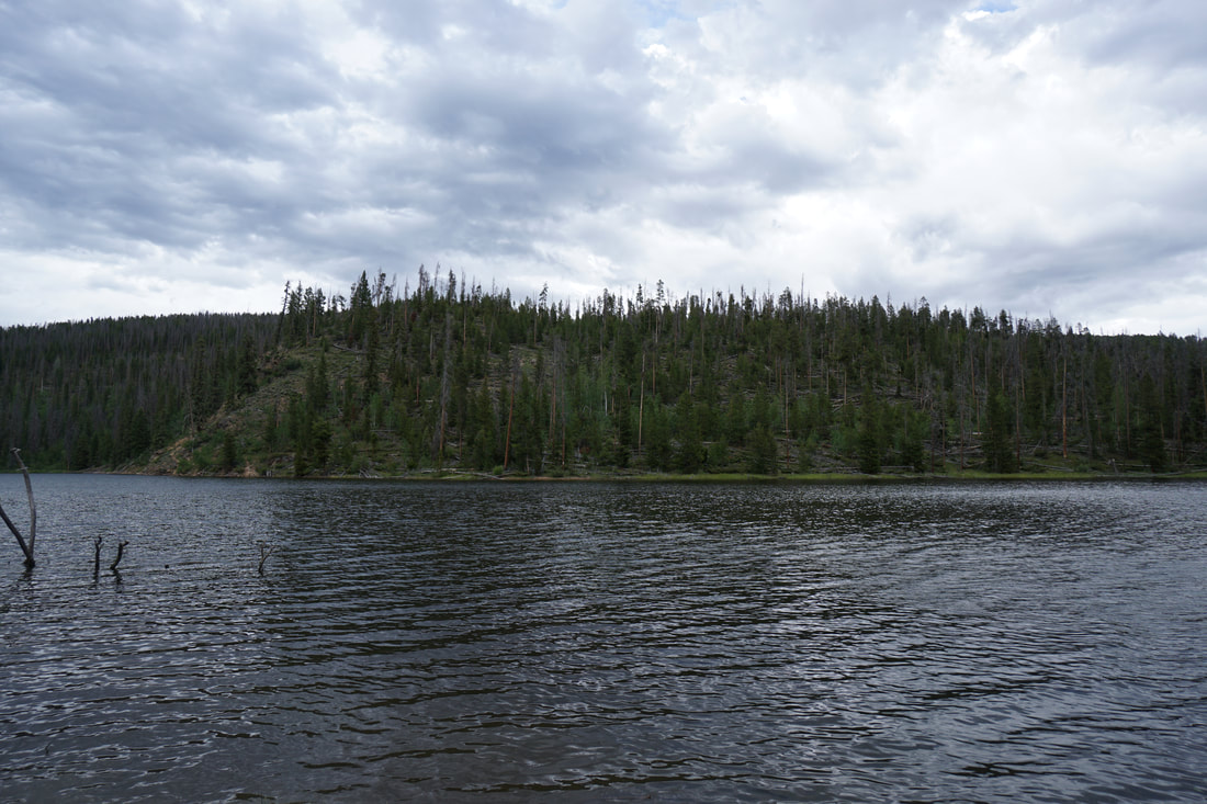
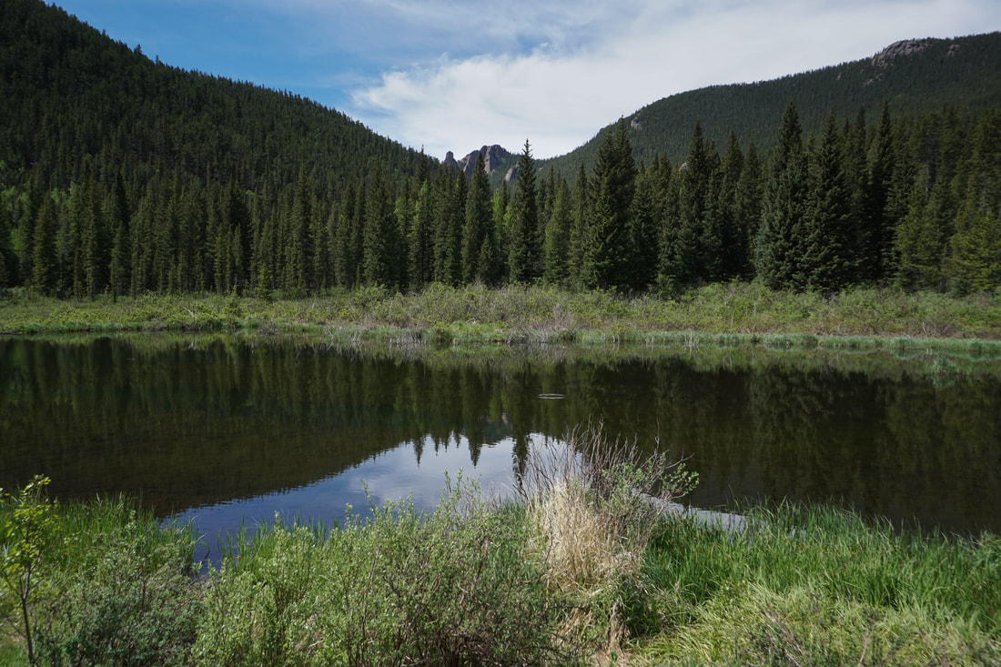
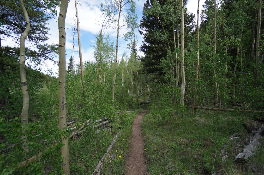
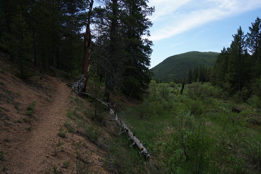
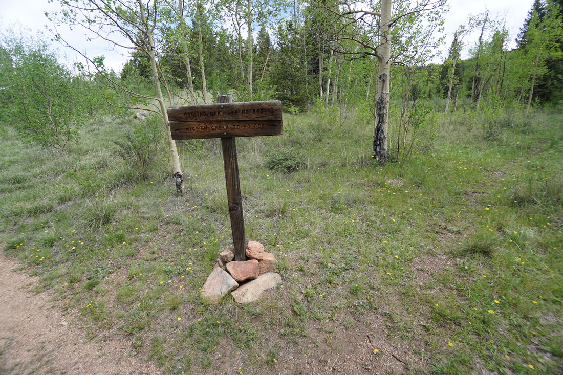
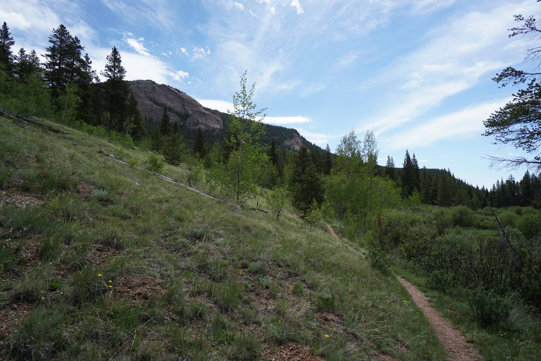
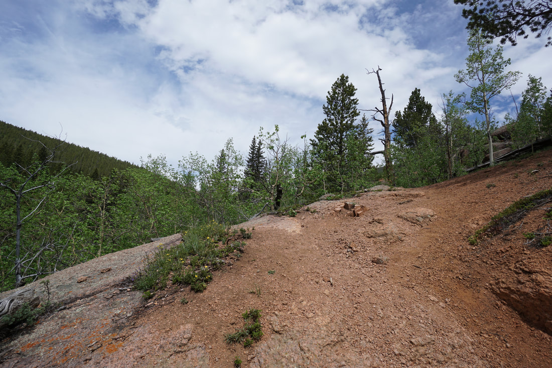
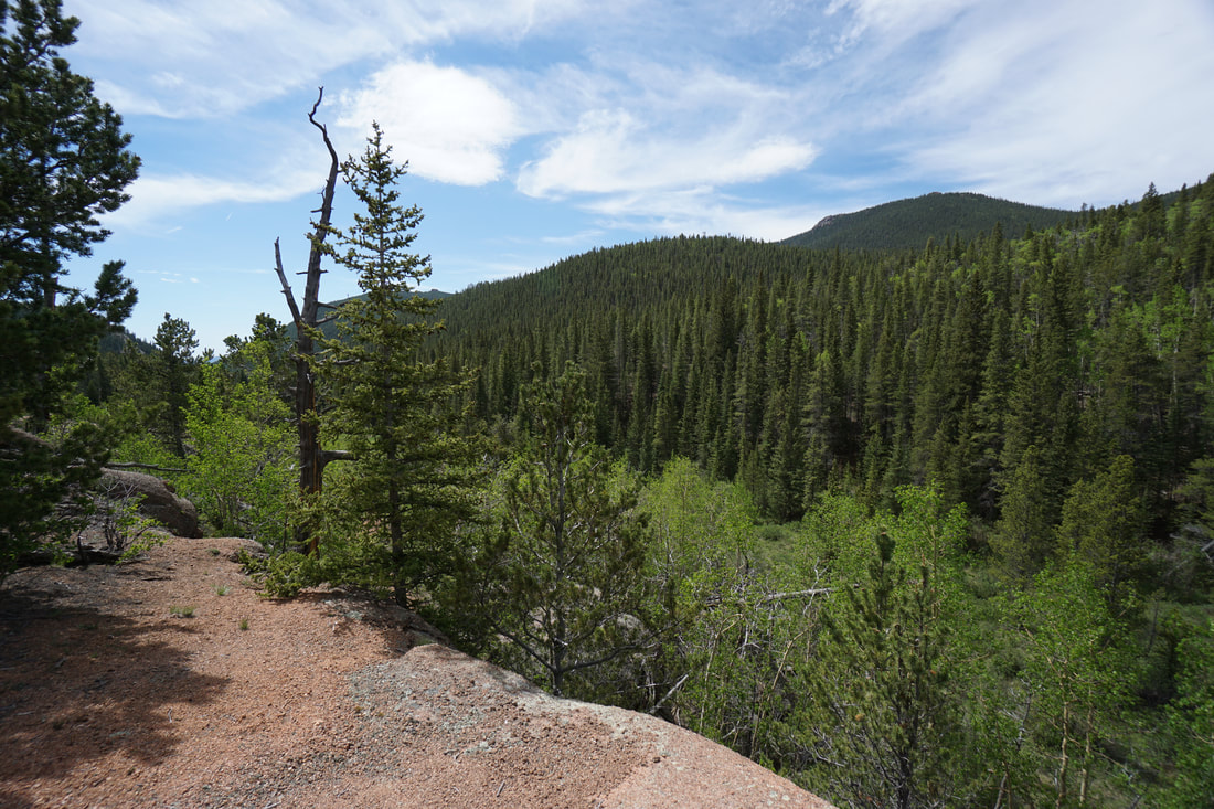
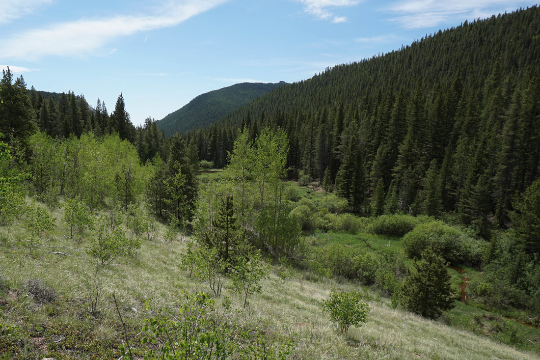
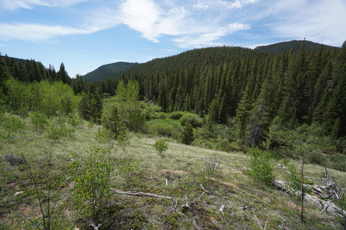
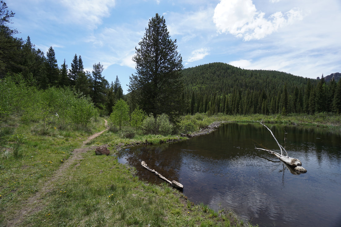
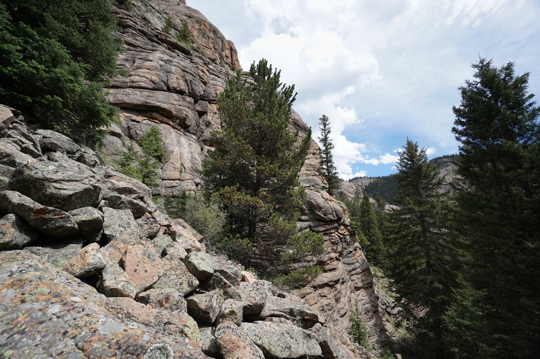
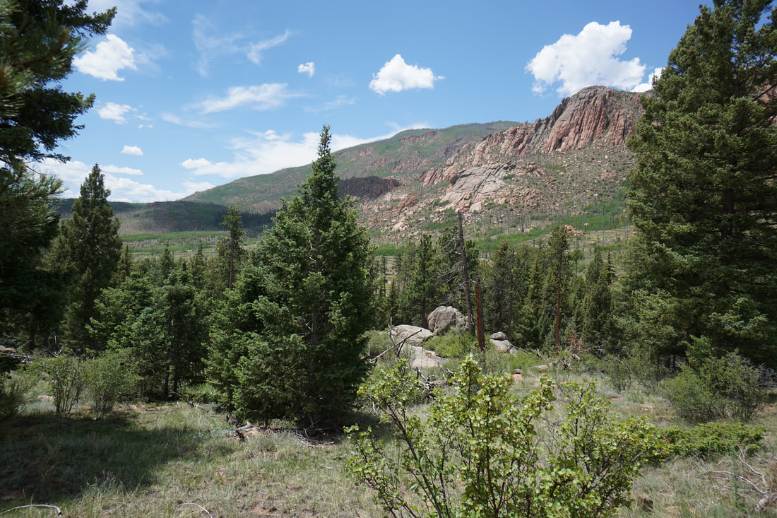
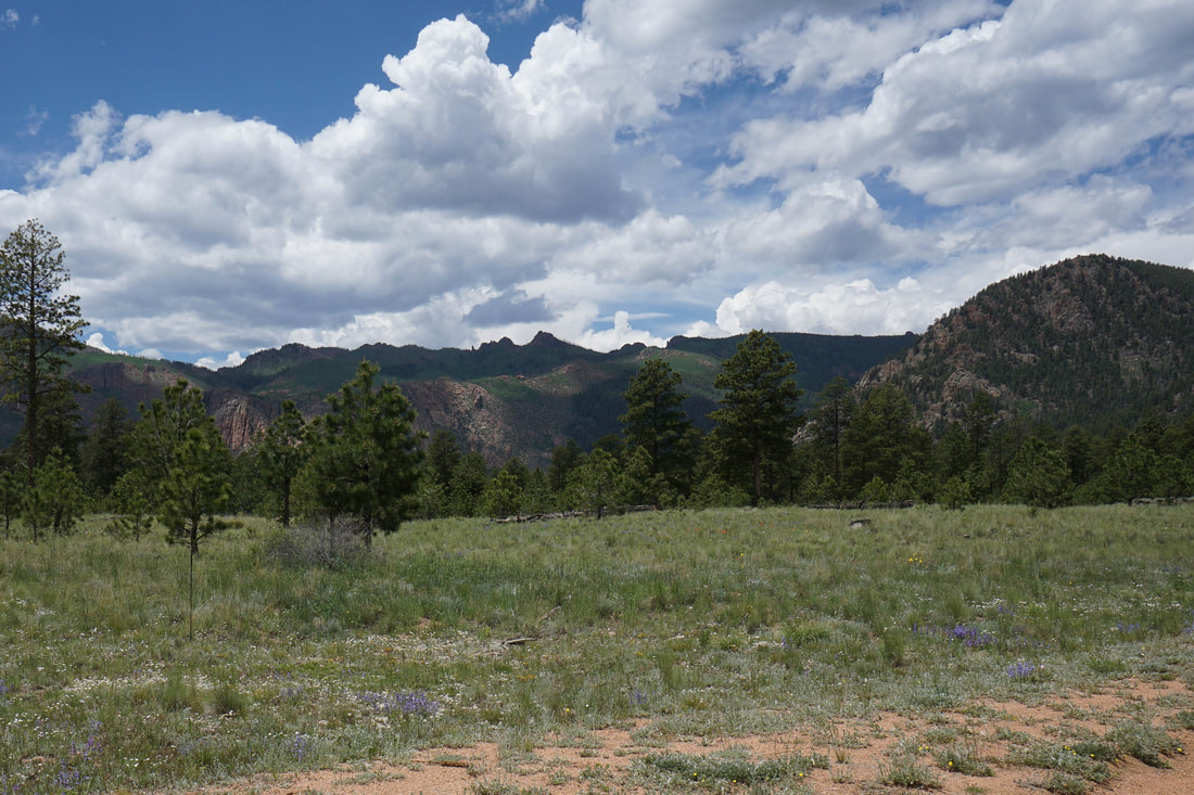
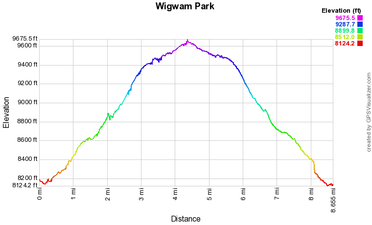
The trailhead is accessed by driving through the Hayman Fire Restoration Area until you reach the dense pine forest and red limestone cliffs typical of the LCW. From the Trailhead, the views of the cliff wall are stunning and sets the stage nicely for your hike. The Wigwam Trail is an amazing hike but lacks the spires and hoodoos that you'll find on other LCW trails such as the Goose Creek Trail. There are immense rock formations hugging the walks of the valley that you hike up but they are often hidden behind the dense forest...you sense that they are there even if you can't clearly see them... From the parking area, the trail descends to a creek crossing (you will cross this creek numerous times along the way) and then begins the steady but gentle climb up to Wigwam Park. The trail meanders through enormous boulders and aspen groves for almost the entirety of the hike. At just about the 2 mile mark, you'll reach a viewpoint with rare wide-open views of the surrounding terrain. Across the valley you'll see rock formations and below a deep narrow gorge. From this point on, the valley narrows as you hike next to pleasant cascades for about .8 miles until you reach the base of a towering cliff wall. Just past the base of the cliffs the trail levels out and your enter the serenity that is Wigwam Park. Hiking through Wigwam Park is a relaxing, rejuvenating experience. The trail is relatively flat, the beaver ponds and wetlands are serene, and the aspen groves immediately reduce stress levels. The first beaver pond is a pleasant destination but hiking a bit past the pond is a must. Look to the south for views of towering rock formations along the Goose Creek Trail. You can hike for miles and miles along this stretch of the Wigwam Trail but if you are looking for a good destination past the first Beaver Pond, I suggest hiking to the junction with the Rolling Creek Trail. Stay on the Wigwam trail Just past the junction to find an area of slick rock and boulders that is easily climbed for nice views of the park and the surrounding hillsides. This area might not feature rock formations out of a Dr. Seuss book (although there is some of that) but it explores a wonderful portion of the Lost Creek Wilderness. This area is relatively low elevation making this hike good for the spring and winter. However, hiking here in the fall would be absolutely incredible as aspen groves are almost constant along the trail, especially in Wigwam Park. |
|