GO HIKE COLORADO
Get in Touch:
  • HOME
  • ABOUT
  • HIKES BY REGION
    • DENVER AREA >
      • Denver Mountain Parks
      • Jefferson County Open Space
      • Lakewood Parks
      • Denver Area Greenways
    • BOULDER AREA
    • DOUGLAS COUNTY
    • FORT COLLINS AREA
    • COLORADO SPRINGS AREA
    • FRONT RANGE
    • TENMILE & MOSQUITO RANGES
    • GORE RANGE
    • SANGRE DE CRISTO MOUNTAINS
    • PARK RANGE
    • SAWATCH RANGE
    • ELK MOUNTAINS
    • SAN JUAN MOUNTAINS
    • THE FLAT TOPS
    • GRAND MESA
    • COLORADO PLATEAU
    • EASTERN PLAINS
  • NATIONAL PARK HIKES
    • BENT'S OLD FORT NATIONAL HISTORIC SITE
    • BLACK CANYON OF THE GUNNISON NATIONAL PARK
    • COLORADO NATIONAL MONUMENT
    • CURECANTI NATIONAL RECREATION AREA
    • DINOSAUR NATIONAL MONUMENT
    • FLORISSANT FOSSIL BEDS NATIONAL MONUMENT
    • MESA VERDE NATIONAL PARK
    • ROCKY MOUNTAIN NATIONAL PARK
    • GREAT SAND DUNES NATIONAL PARK
    • HOVENWEEP NATIONAL MONUMENT
    • SAND CREEK MASSACRE NATIONAL HISTORIC SITE
    • YUCCA HOUSE NATIONAL MONUMENT
  • HIKES BY CATEGORY
    • HIKES TO ALPINE LAKES
    • HIKES TO PEAKS & PASSES
    • HIKES THROUGH CANYONS
    • HIKES WITH FALL COLORS
    • HIKES ALONG THE I-70 CORRIDOR
    • HIKES ON PAVED TRAILS
    • HIKES FOR KIDS
    • HIKES TO WATERFALLS
    • HIKES ALONG RIVERS
    • HIKES WITH ROCK FORMATIONS
    • HIKES WITH WILDFLOWERS
    • WINTER HIKES
  • NEWS
  • WEBCAMS
  • $UPPORT GHC
  • INTERACTIVE MAP

West Filius Loop
Filius Park

Date Hiked:  November 2, 2020

Distance: .75 mi (RT)
Elevation Gain: 175 ft
Elevation Min/Max: 7,7757 to 7,910 ft 
Trailhead Lat/Long:  39.69594, -105.35485 
Managing Agency: Denver Mountain Parks
​Fee: None

Filius Park Trail Map
Picture

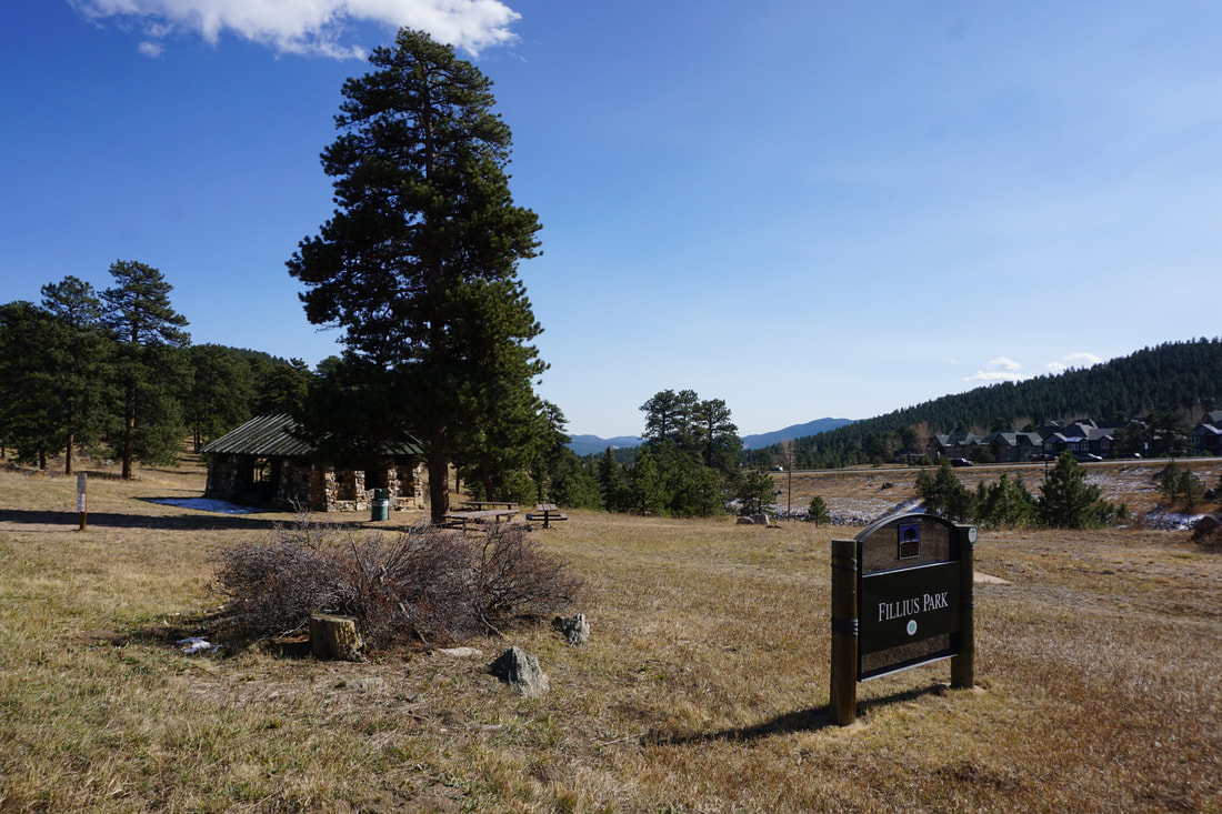
DIRECTIONS:  From I-70 exit at Evergreen Parkway and head south for about 2 miles to the town of Bergen Park.  Turn right on Bergen Parkway at the sign for Filius Park.  Enter the park and look for the parking lot on the right.  

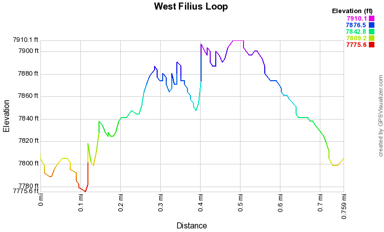
Filius Park is mostly used for its picnic grounds and forested environment within close proximity to Evergreen.  However, Filius Park does have two short hiking trails, the Filius Park Trail and the West Filius Loop.  The West Filius Loop is short but scenic with nice Front Range Views. 

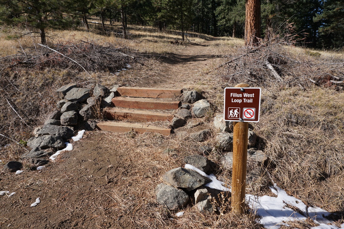
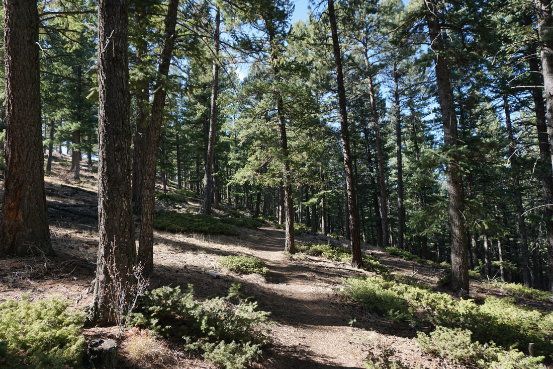
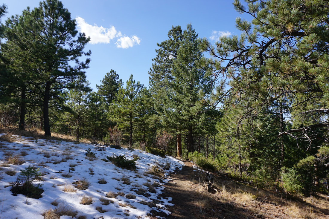
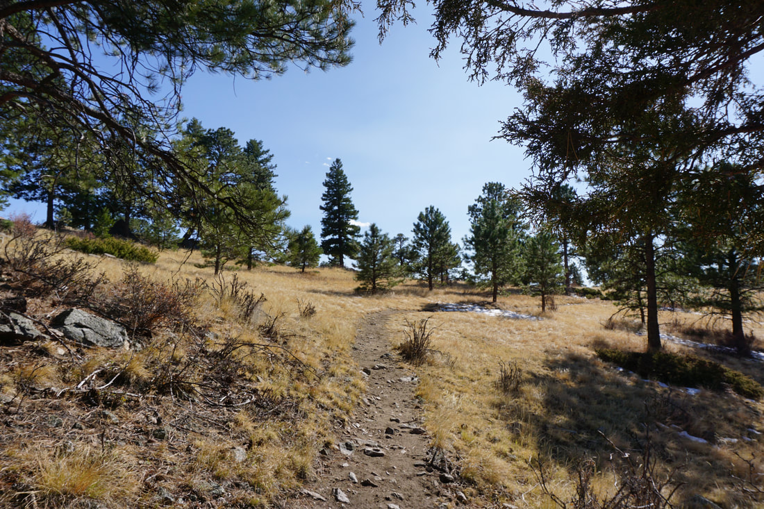
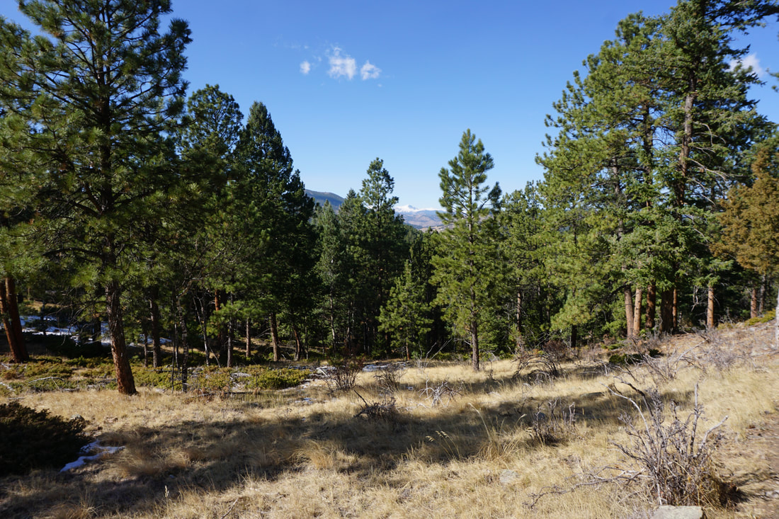
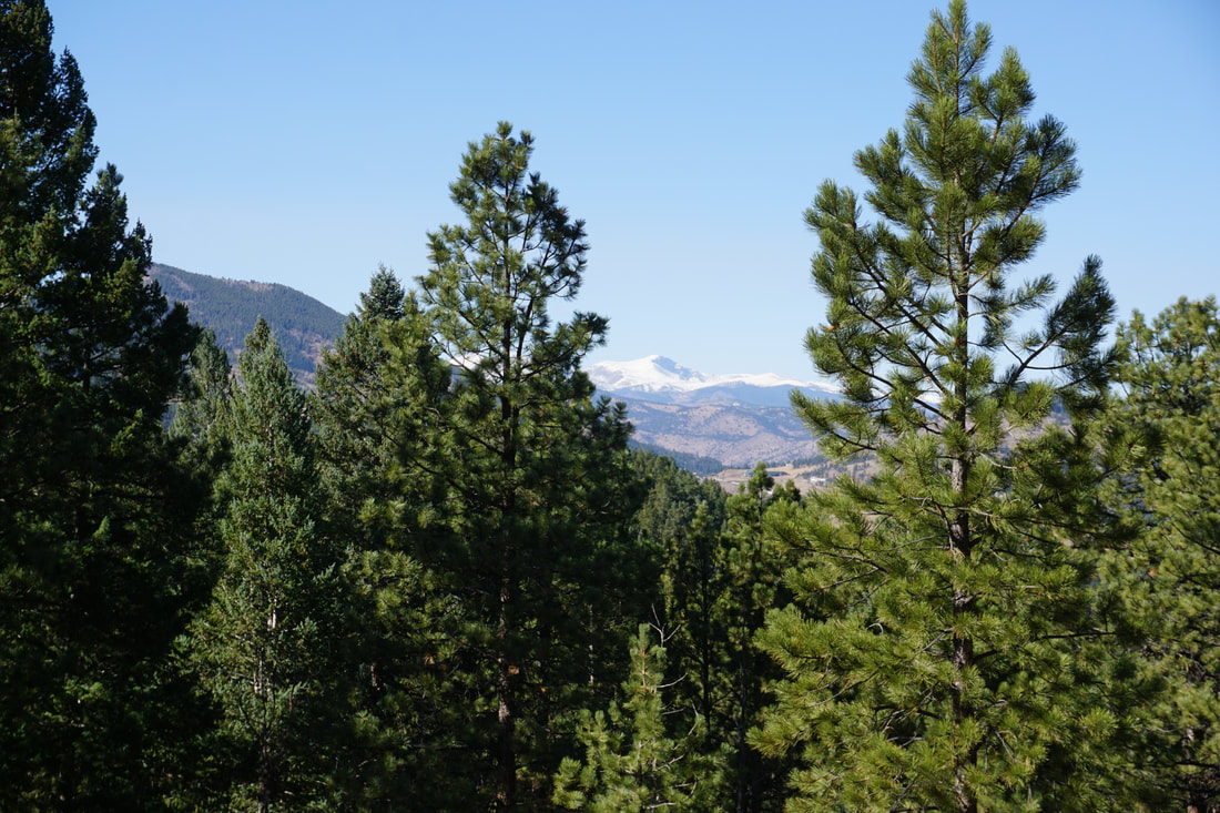
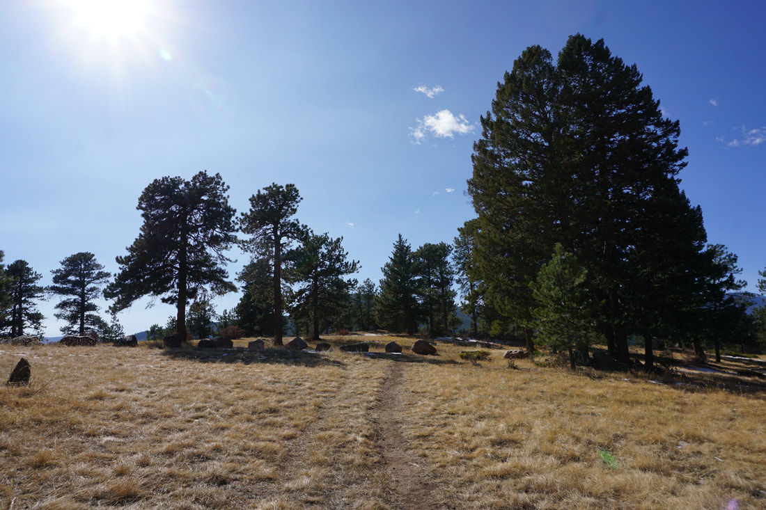
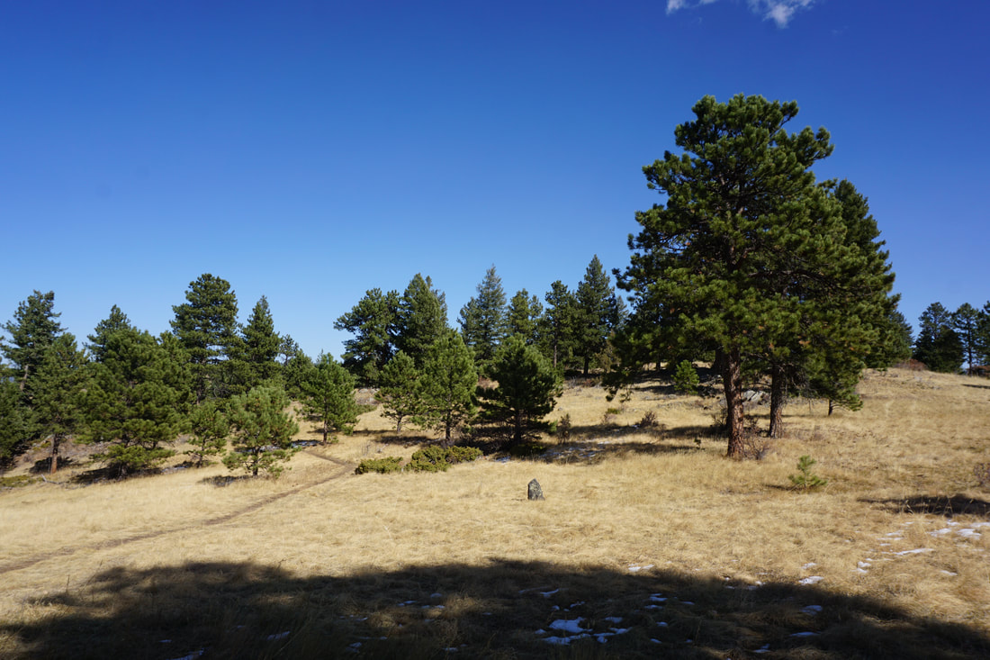
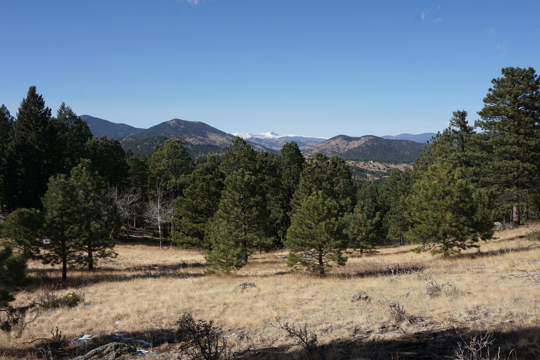
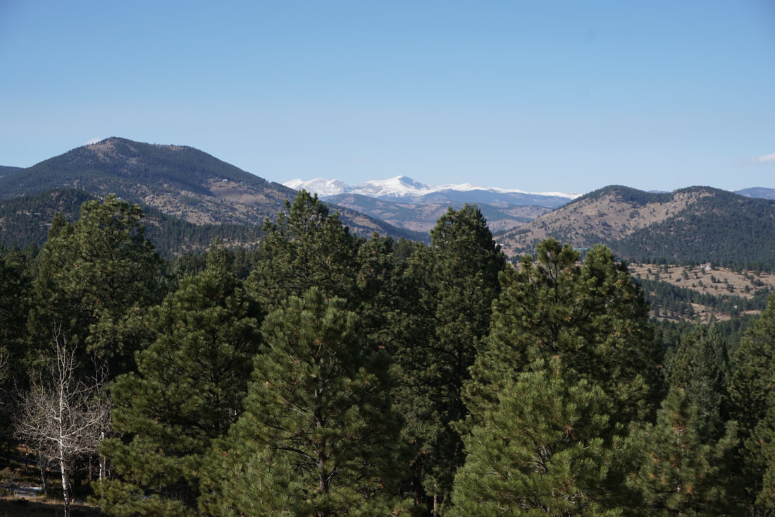
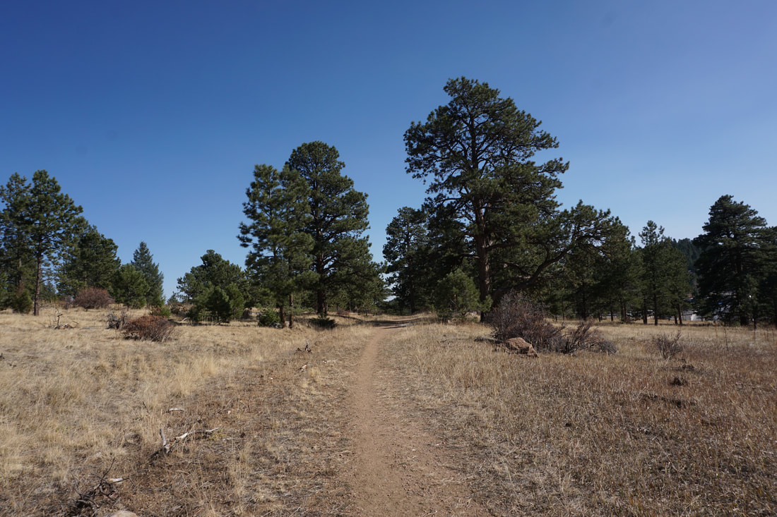
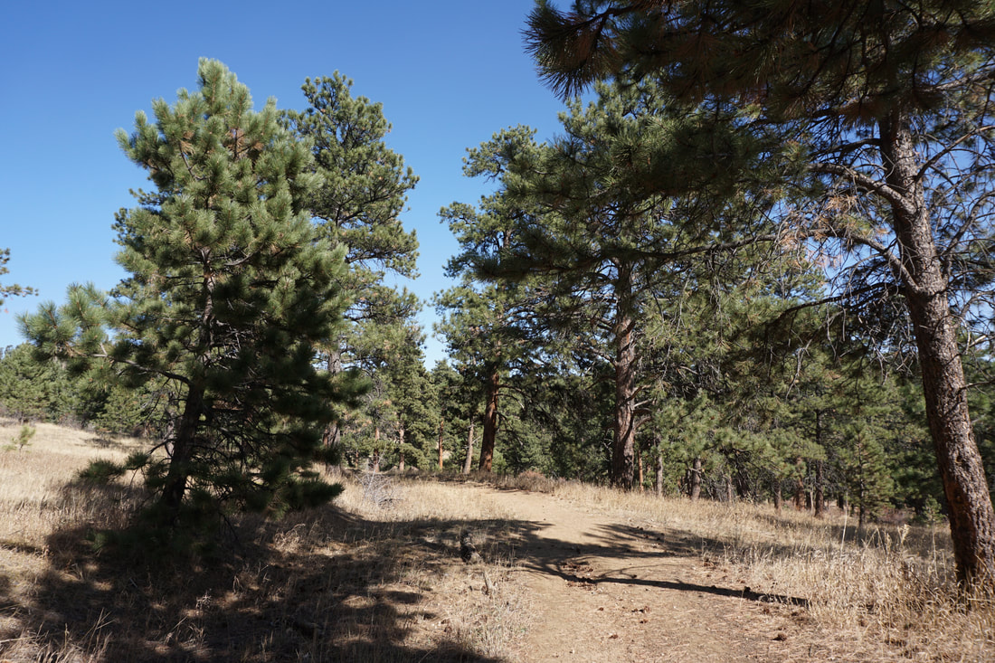
From the parking area just before the gate, turn down Soda Creek Road to find the small trailhead on your left.  The trail starts as a wide path and begins the loop at the small staircase leading off to your right.  Climb the stairs and continue a gentle climb through evergreen forest.  Before too long you'll reach the top of the climb and enter a clearing with some nice views of the Front Range foothills.  As the loop curves to the left, look for the rocky outcropping just off trail.  The outcropping marks the western end an old picnic area that has been closed by Denver Mountain Parks.  However, the rocks do offer a great view of James Peak rising on the Horizon.  Head back to the trail and continue as the trail dips down through the forest and returns you to the stairs and the trailhead.  

This is a short loop but it's good for kids and good for a short stroll to a nice viewpoint.    
Powered by Create your own unique website with customizable templates.