|
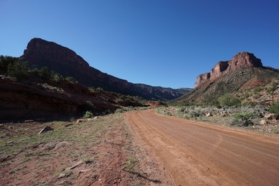
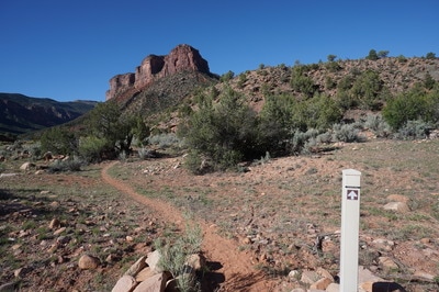
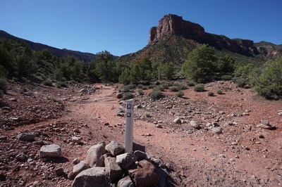
Directions: The Dynamite Trailhead is located on John Brown Canyon Road in the town of Gateway. JBC Road is off State Route 141 just south of the Gateway Canyons Resort. Follow JBC Road for just a few minutes, drive through the gate with a BLM Public Lands sign and look for the small white trailhead marker on the right.
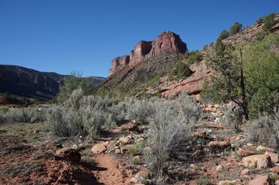
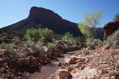
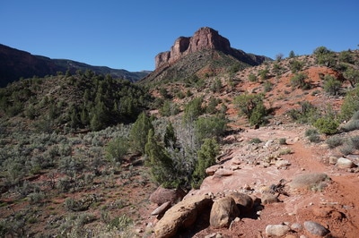
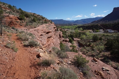
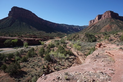
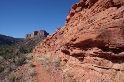
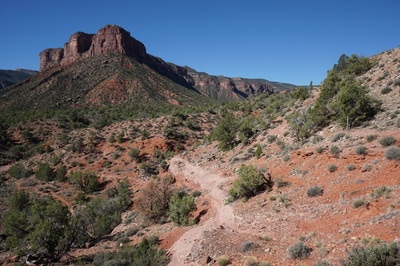
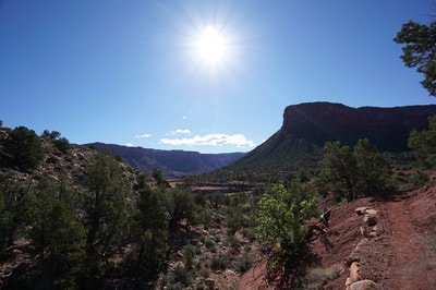
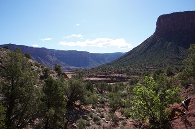
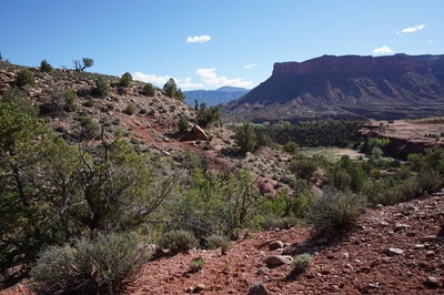
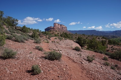
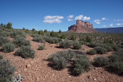
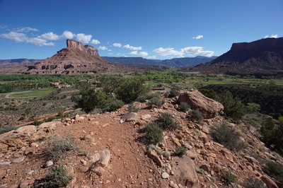
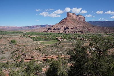
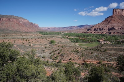
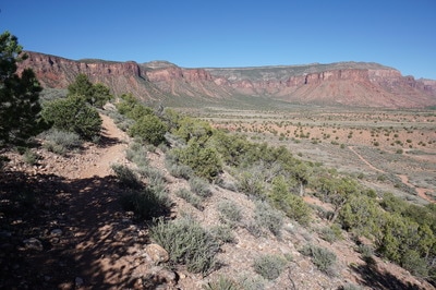
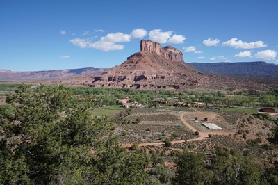
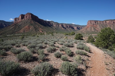
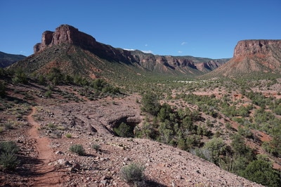
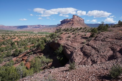
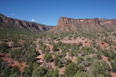
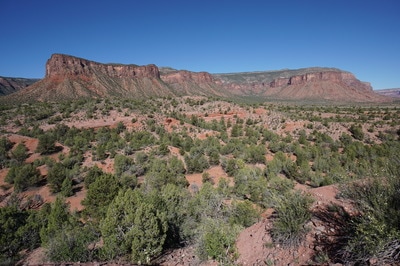
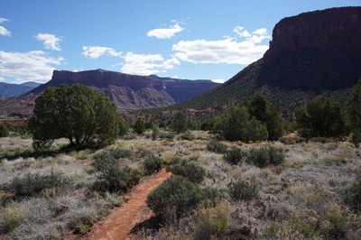
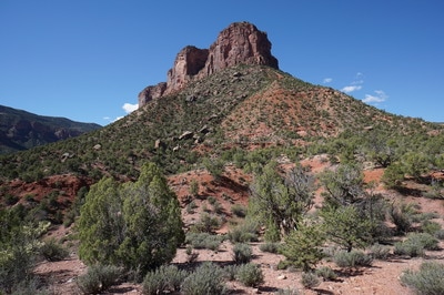
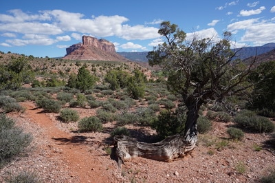
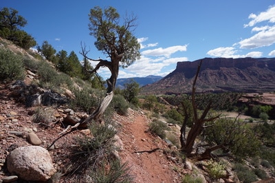
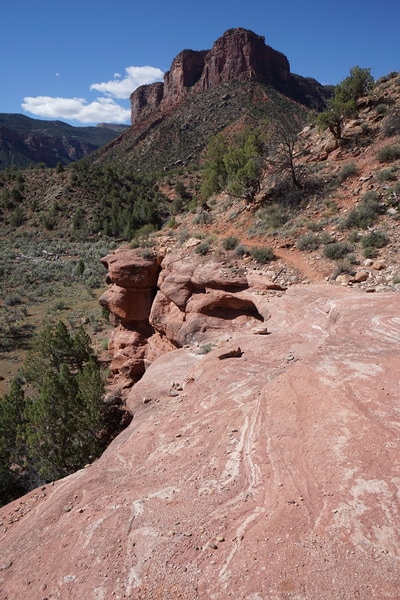
If you only have time for one hike in the Gateway Trails Area, this is it. The BLM trail system in Gateway explores a low mesa south of the Gateway Canyons Resort. The area sits at the mouth of John Brown Canyon and offers amazing views of the surrounding red rock formations, including the iconic Palisade formation.
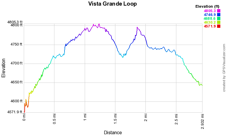
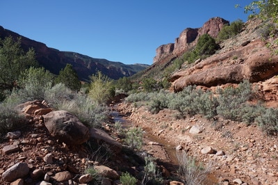
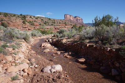
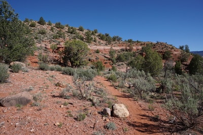
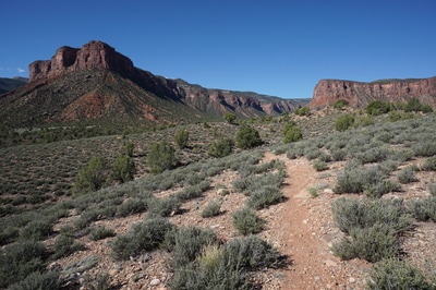
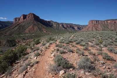
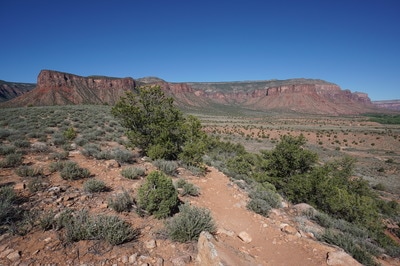
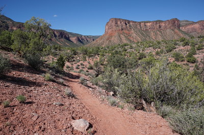
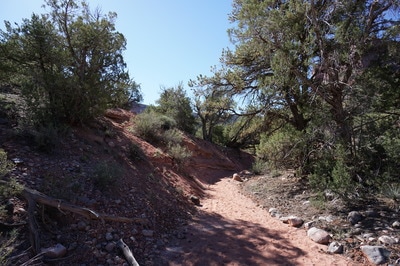
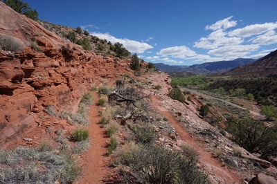
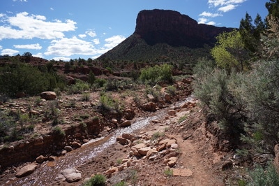
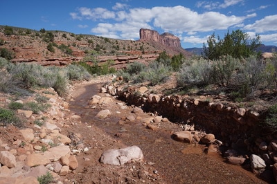
Many visitors start their hike at the resort but alternatively you can drive down John Brown Canyon road for just a few minutes and access the mesa via the Dynamite Trail. This may just be the easiest way to start the hike. You can park in the resort but it was not intuitive as to where to park to access the trails. Parking on JBC road takes the guess work out of it. The dynamite trail crosses a small creek and weaves up to the top of the mesa. Once you near the top, you'll intersect with the Vista Grande Loop. Hiking counter clockwise takes you to the views of the Palisade faster. The views are immediate and in all directions. It's amazing how Gateway sits at the mouths of about 6 different canyons. The Palisade is on full display and the towering cliffs of John Brown Canyon are a constant companion. There are various other trails and loops that can be accessed via the Vista Grande Loop (Cutler Rim and Lumsden Loop) but the Vista Grande Loop shows you the majority of the terrain and has (probably) the best views in the area. Once you pass the Lumsden Loop, you'll dip down off the mesa and hike up a dry wash heading west. The trail then weaves through the desert floor and descends the southern cliffs back to the Dynamite Trailhead. This loop is the perfect introduction. The Gateway Area is incredibly scenic and you'll want to spend years exploring all the surrounding canyons. Have at it, and please report back what you find... |
- HOME
- ABOUT
-
HIKES BY REGION
-
NATIONAL PARK HIKES
- BENT'S OLD FORT NATIONAL HISTORIC SITE
- BLACK CANYON OF THE GUNNISON NATIONAL PARK
- COLORADO NATIONAL MONUMENT
- CURECANTI NATIONAL RECREATION AREA
- DINOSAUR NATIONAL MONUMENT
- FLORISSANT FOSSIL BEDS NATIONAL MONUMENT
- MESA VERDE NATIONAL PARK
- ROCKY MOUNTAIN NATIONAL PARK
- GREAT SAND DUNES NATIONAL PARK
- HOVENWEEP NATIONAL MONUMENT
- SAND CREEK MASSACRE NATIONAL HISTORIC SITE
- YUCCA HOUSE NATIONAL MONUMENT
- HIKES BY CATEGORY
- NEWS
- WEBCAMS
- $UPPORT GHC
- INTERACTIVE MAP
Vista Grande Loop
Gateway Trails, BLM Public Lands
Date Hiked: April 22, 2017
Distance: 3 mi (RT)
Elevation Gain: 300 ft
Elevation Min/Max: 4,572 to 4,805 ft
Trailhead Lat/Long: 38º 40' 10" N; 108º 58' 53" W
Managing Agency: Bureau of Land Management (BLM)
Fee: None

