GO HIKE COLORADO
Get in Touch:
  • HOME
  • ABOUT
  • HIKES BY REGION
    • DENVER AREA >
      • Denver Mountain Parks
      • Jefferson County Open Space
      • Lakewood Parks
      • Denver Area Greenways
    • BOULDER AREA
    • DOUGLAS COUNTY
    • FORT COLLINS AREA
    • COLORADO SPRINGS AREA
    • FRONT RANGE
    • TENMILE & MOSQUITO RANGES
    • GORE RANGE
    • SANGRE DE CRISTO MOUNTAINS
    • PARK RANGE
    • SAWATCH RANGE
    • ELK MOUNTAINS
    • SAN JUAN MOUNTAINS
    • THE FLAT TOPS
    • GRAND MESA
    • COLORADO PLATEAU
    • EASTERN PLAINS
  • NATIONAL PARK HIKES
    • BENT'S OLD FORT NATIONAL HISTORIC SITE
    • BLACK CANYON OF THE GUNNISON NATIONAL PARK
    • COLORADO NATIONAL MONUMENT
    • CURECANTI NATIONAL RECREATION AREA
    • DINOSAUR NATIONAL MONUMENT
    • FLORISSANT FOSSIL BEDS NATIONAL MONUMENT
    • MESA VERDE NATIONAL PARK
    • ROCKY MOUNTAIN NATIONAL PARK
    • GREAT SAND DUNES NATIONAL PARK
    • HOVENWEEP NATIONAL MONUMENT
    • SAND CREEK MASSACRE NATIONAL HISTORIC SITE
    • YUCCA HOUSE NATIONAL MONUMENT
  • HIKES BY CATEGORY
    • HIKES TO ALPINE LAKES
    • HIKES TO PEAKS & PASSES
    • HIKES THROUGH CANYONS
    • HIKES WITH FALL COLORS
    • HIKES ALONG THE I-70 CORRIDOR
    • HIKES ON PAVED TRAILS
    • HIKES FOR KIDS
    • HIKES TO WATERFALLS
    • HIKES ALONG RIVERS
    • HIKES WITH ROCK FORMATIONS
    • HIKES WITH WILDFLOWERS
    • WINTER HIKES
  • NEWS
  • WEBCAMS
  • $UPPORT GHC
  • INTERACTIVE MAP

Yucca > Scrub Oak > Pine Ridge Loop
Ute Valley Park

  • Date Hiked: October 13, 2014

  • Distance:  3 mi (RT)
  • Elevation Gain: 486ft
  • Elevation Min/Max: 6,375 to 6,663ft
  • Managing Agency: CO Springs Parks
  • Fee: None

Ute Valley Park Map
Picture

Directions:  From I-25 take the Rockrimmon exit and head west on Rockrimmon Blvd.  Turn left on Vindicator Drive and look for the small parking area on the left. 

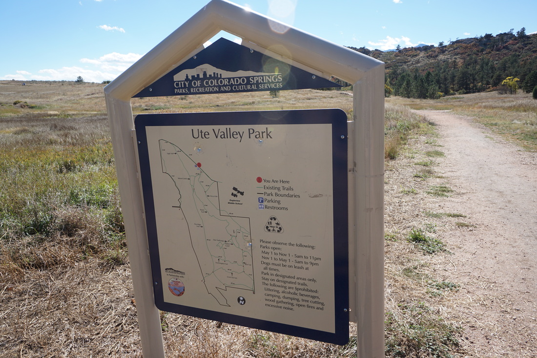
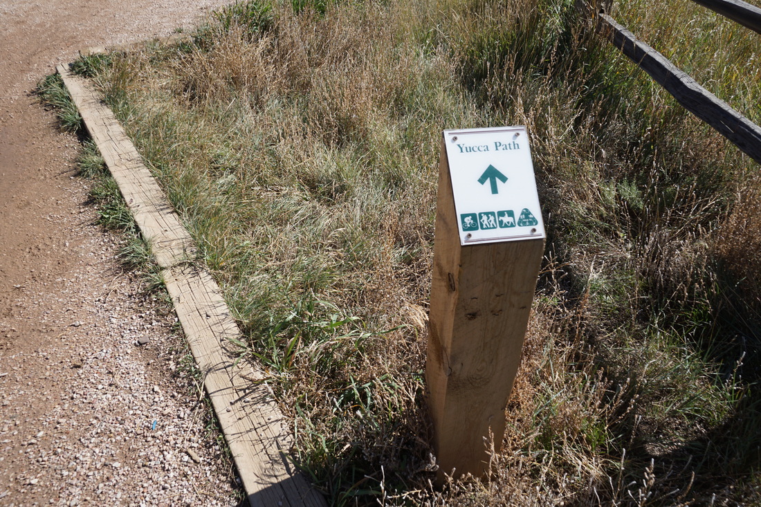
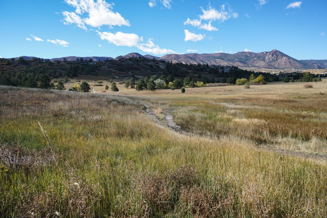
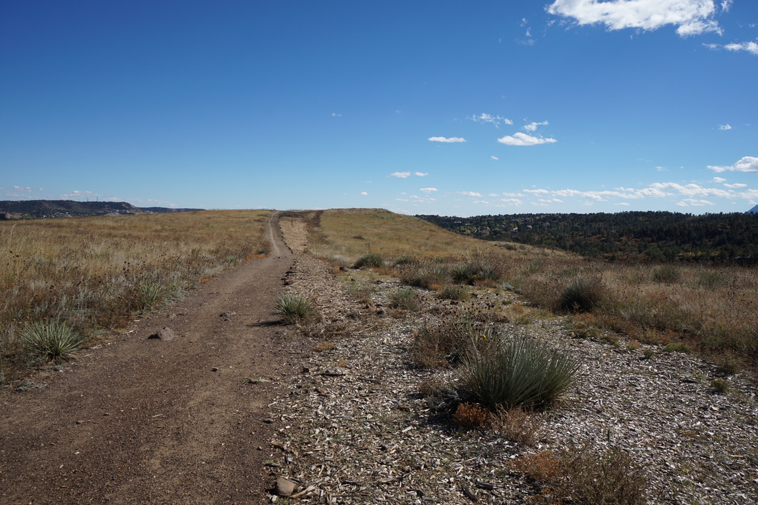
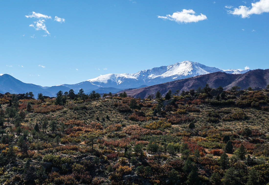
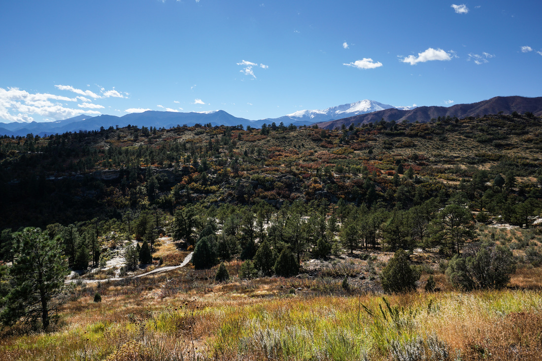
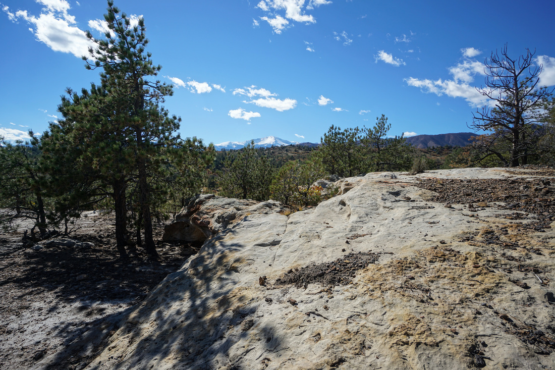
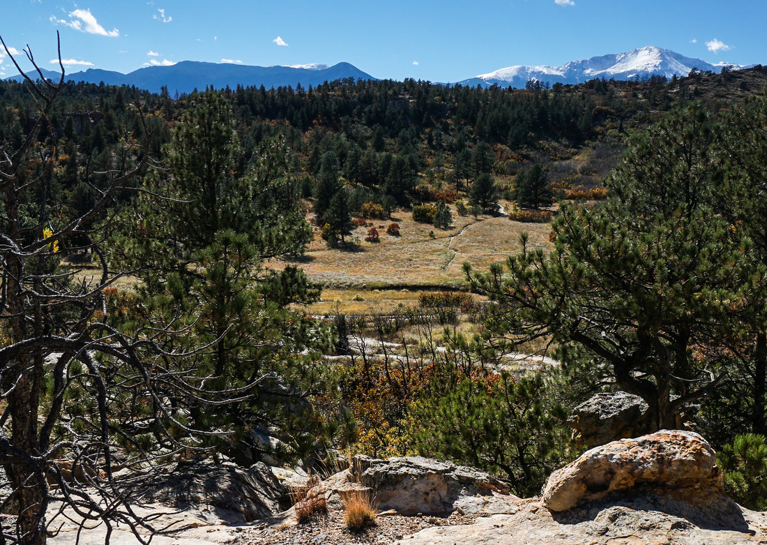
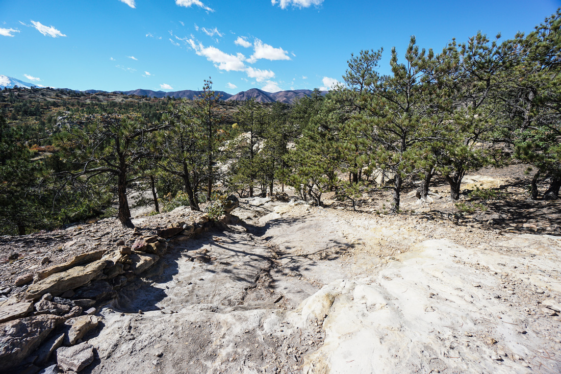
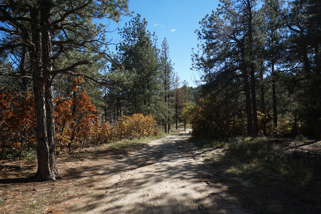
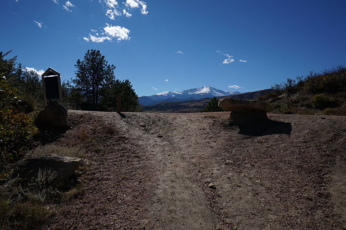
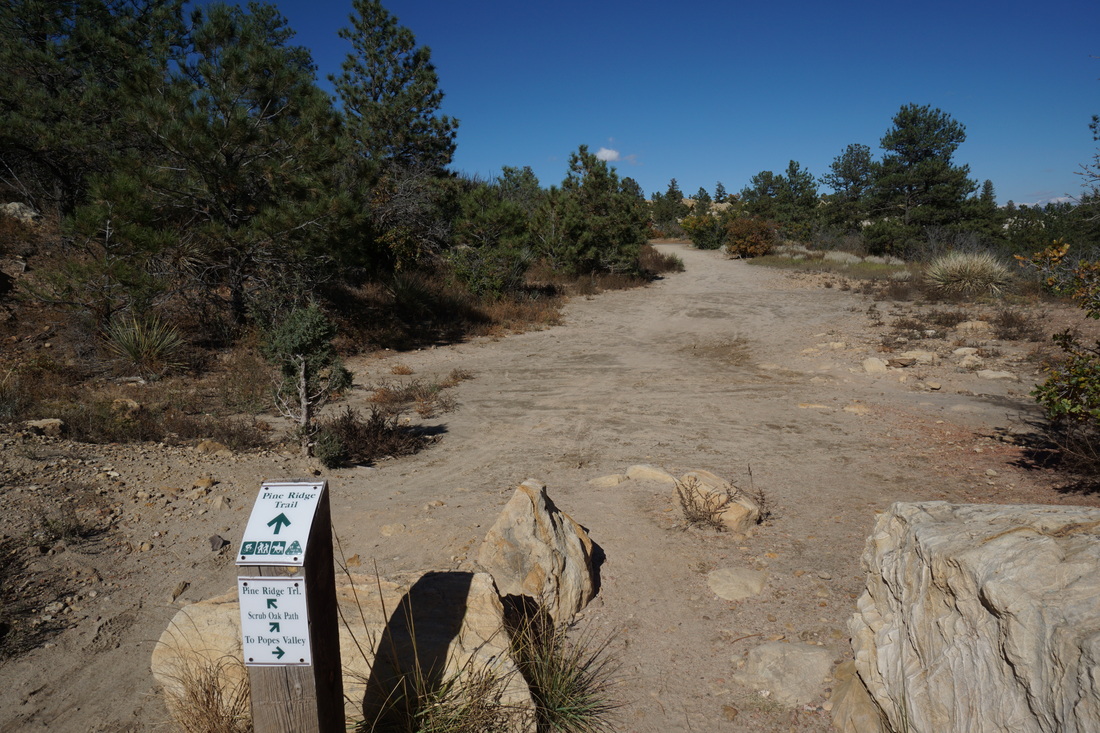
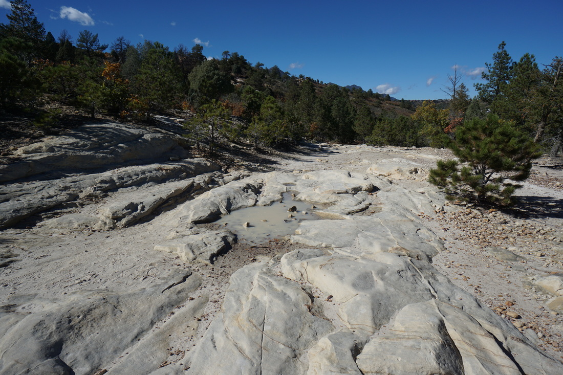
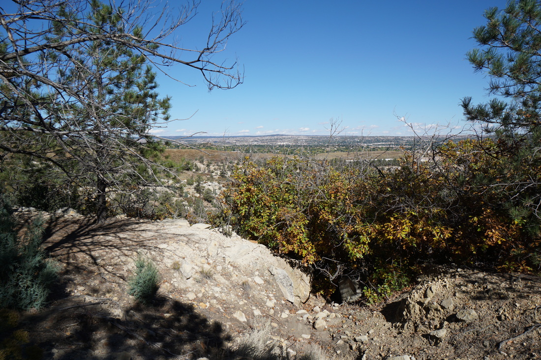
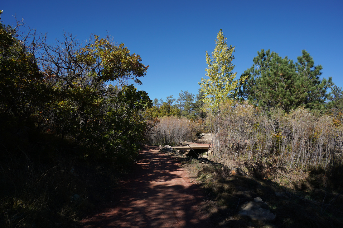
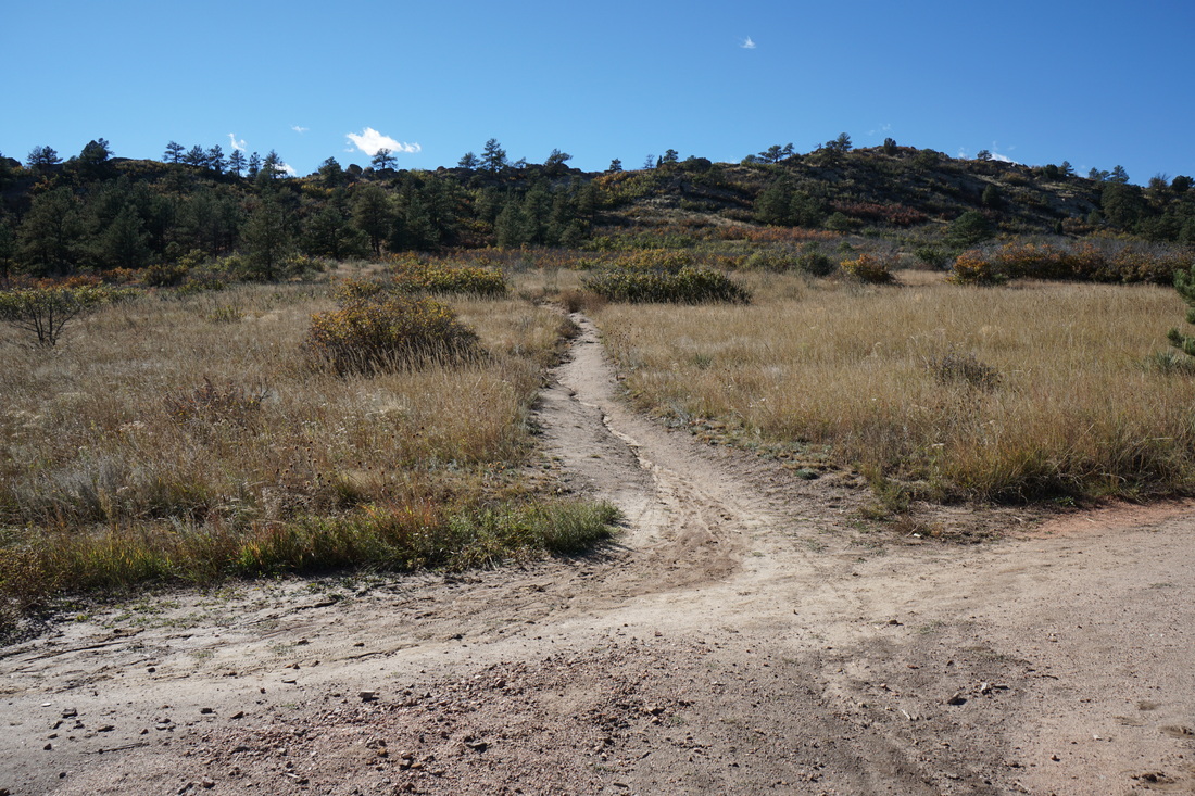
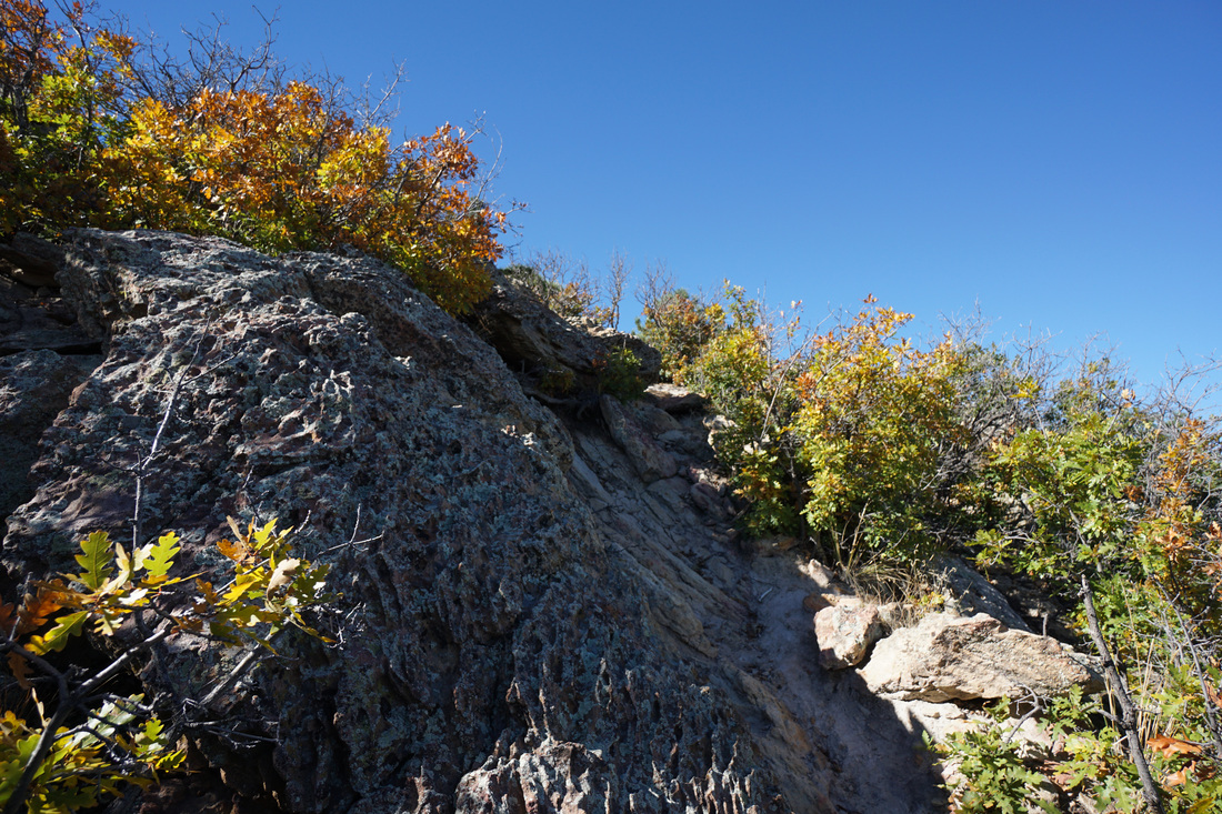
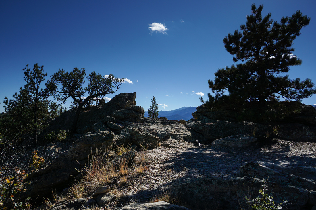
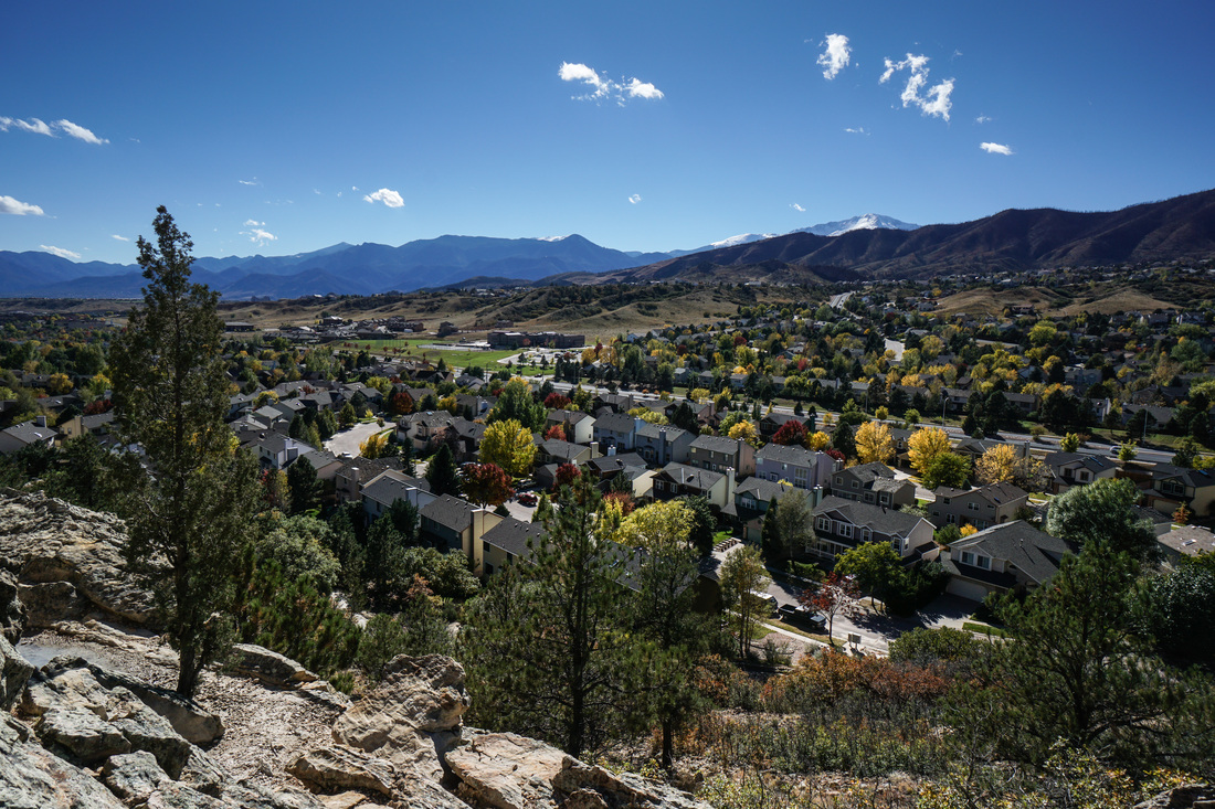
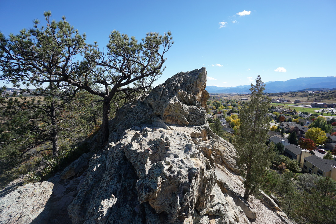
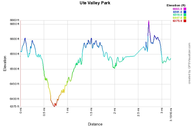
Ute Valley Park is a nice open space park in northern CO Springs.  The park consists of various trails and connector trails that weave through a scrub oak lined sandstone canyon and climb to a hogback ridge.  The hiking is easy and the views of Pike's Peak can be fantastic.  From the parking area, head south on the Yucca Path past a small pond and stay to the left at the fork.  The trail will follow a ridgeline with various viewpoints before leading down to the canyon floor.  There are a number of social trails but stick to to main wide sandy path.  When you reach the valley floor bear left and look for the wide path leading up into the forest.  There is a lack of good signage at this park so just make sure you are heading up from the valley floor and you'll find your way.

When you reach the trail sign for the Scrub Oak Trail, turn right and follow this trail through a scrub oak forest that is blooming with color in the fall.  This trail will take you up to a saddle with a terrific view of Pike's Peak.  Turn right here and follow the Pine Ridge Trail.  The Pine Ridge Trail does not follow the top of the ridge however there are various unofficial trails that can take you to the top.  Follow the Pine Ridge Trail for about .5 mile until it descends to a junction with the Beaver Trail.  Cross a small footbridge and follow the red dirt trail back to the parking area.

The views, interesting landscape, and beautiful fall colors make this a great easy hiking destination just minutes from Colorado Springs.

Powered by Create your own unique website with customizable templates.