|
|
|
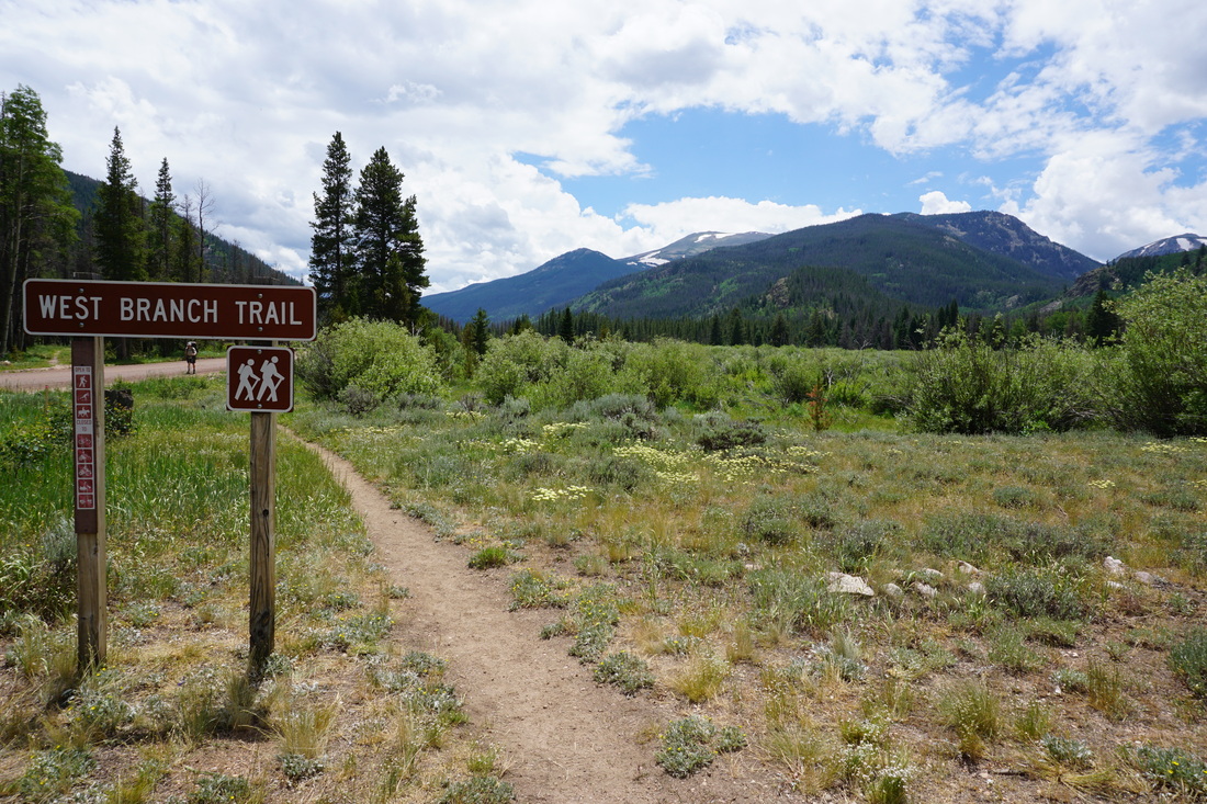
Directions: From Fort Collins, head west on Hwy 14 for about 55 miles. Just before Chambers Lake, turn right (North) onto County Road 103. Follow this good dirt road north for 6 miles to the West Branch Trailhead and parking area.
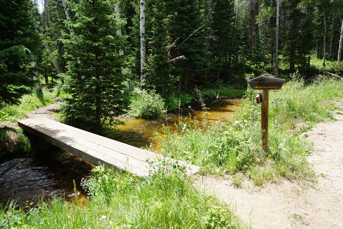
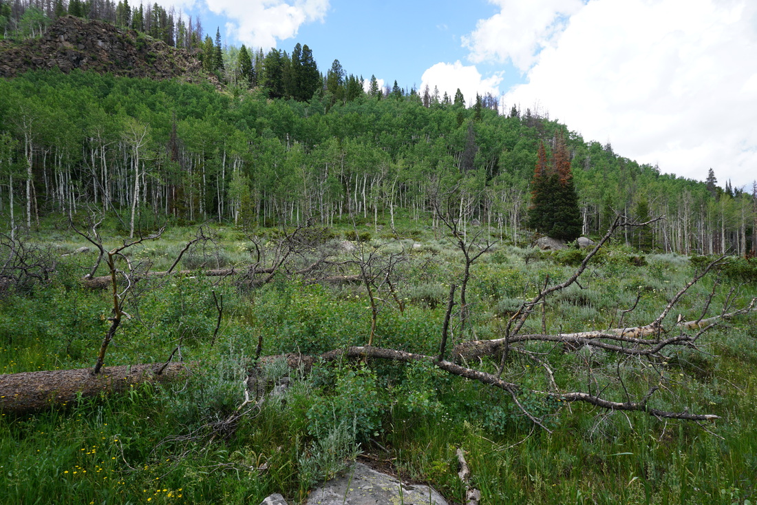
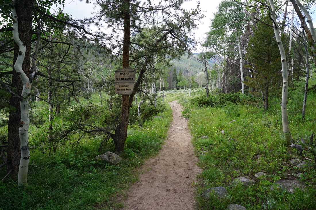
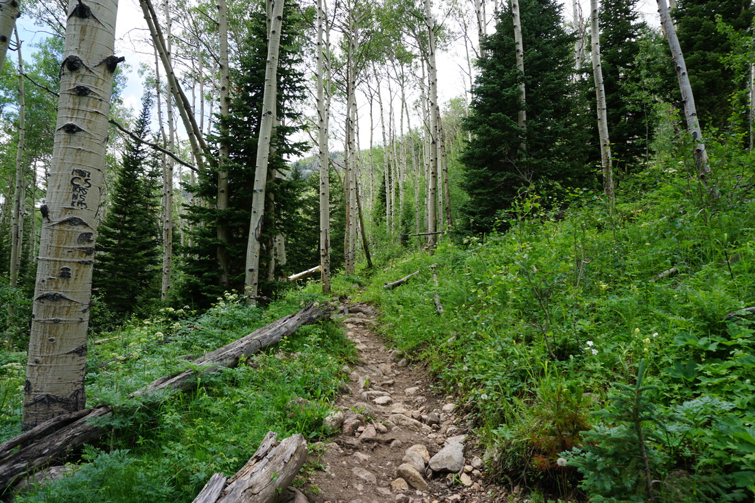
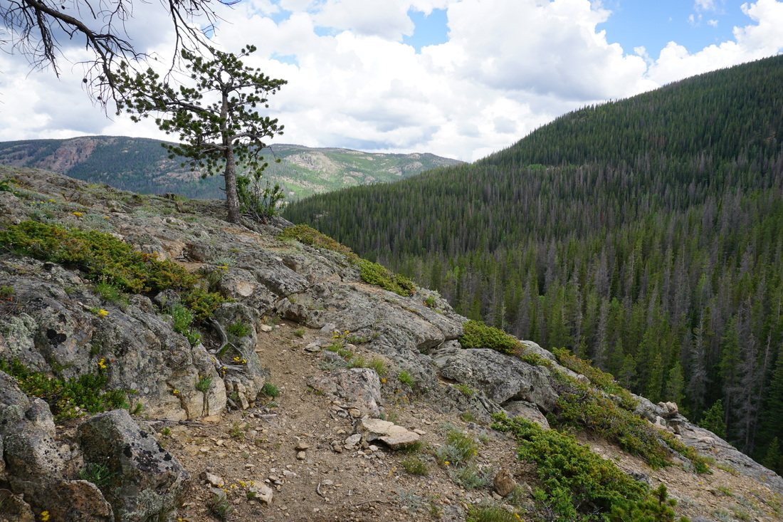
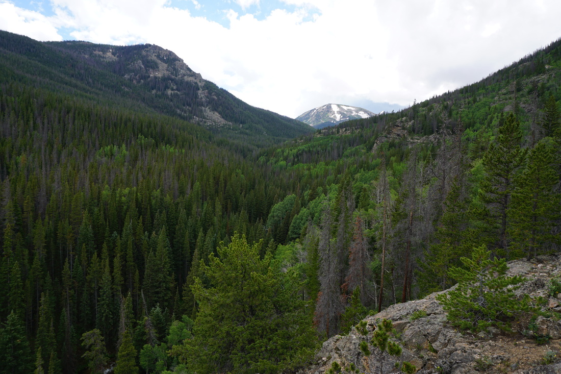
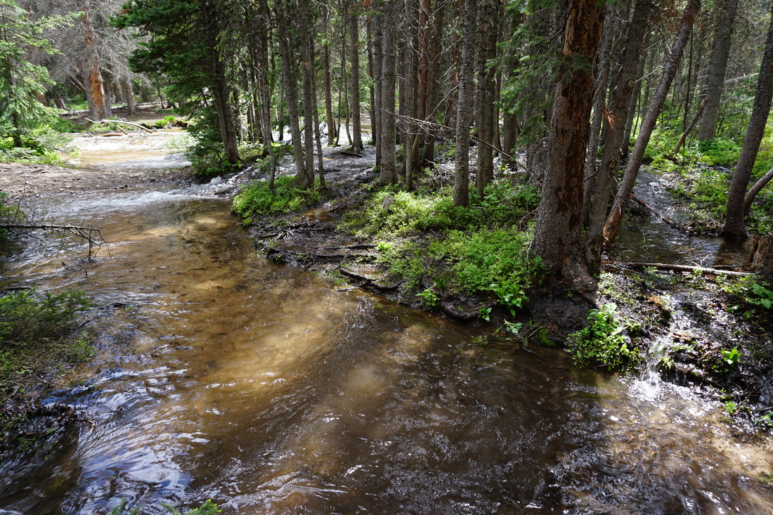
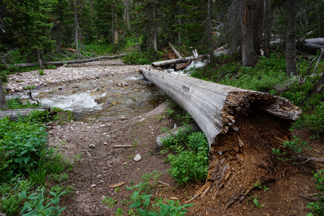
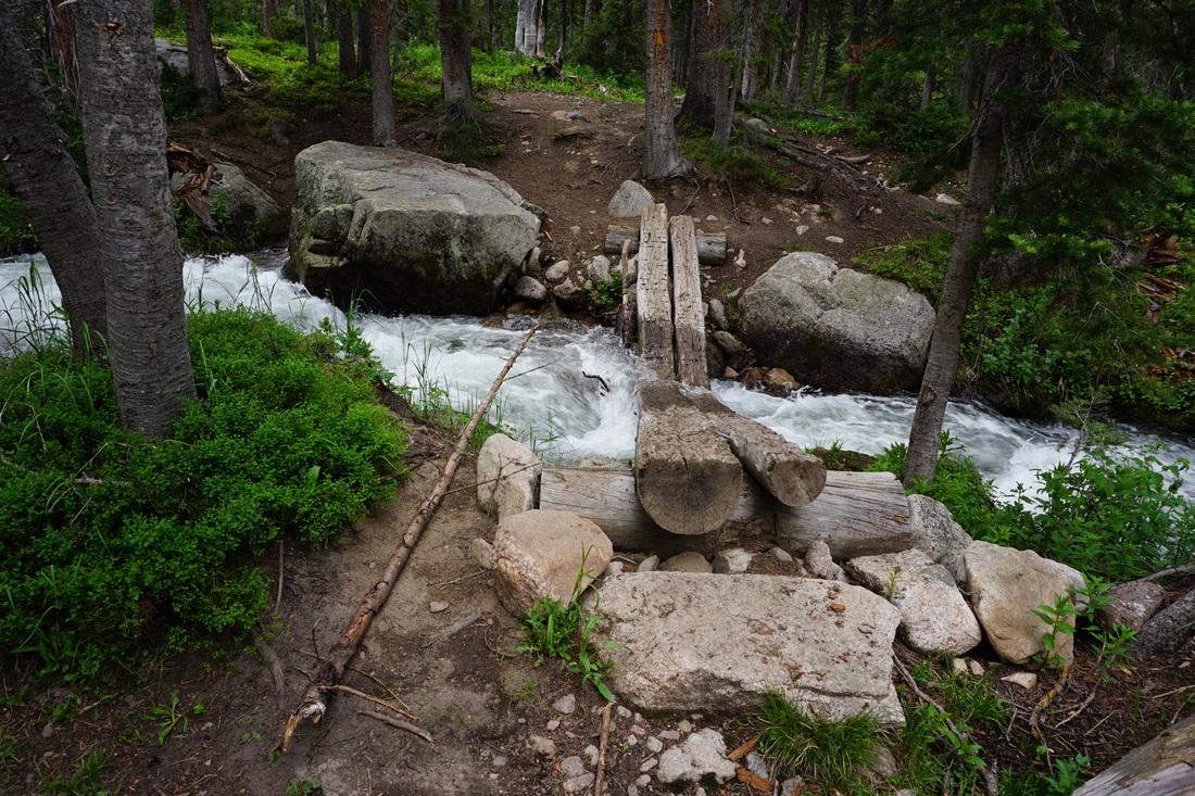
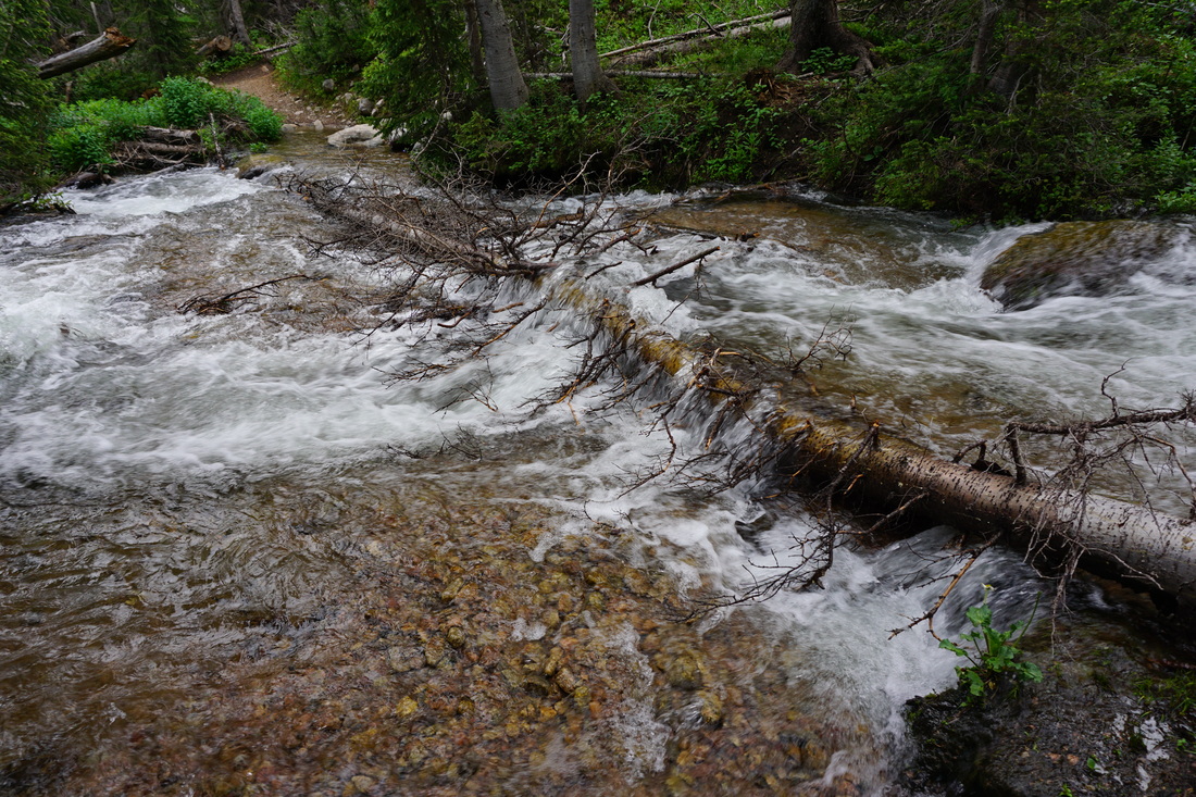
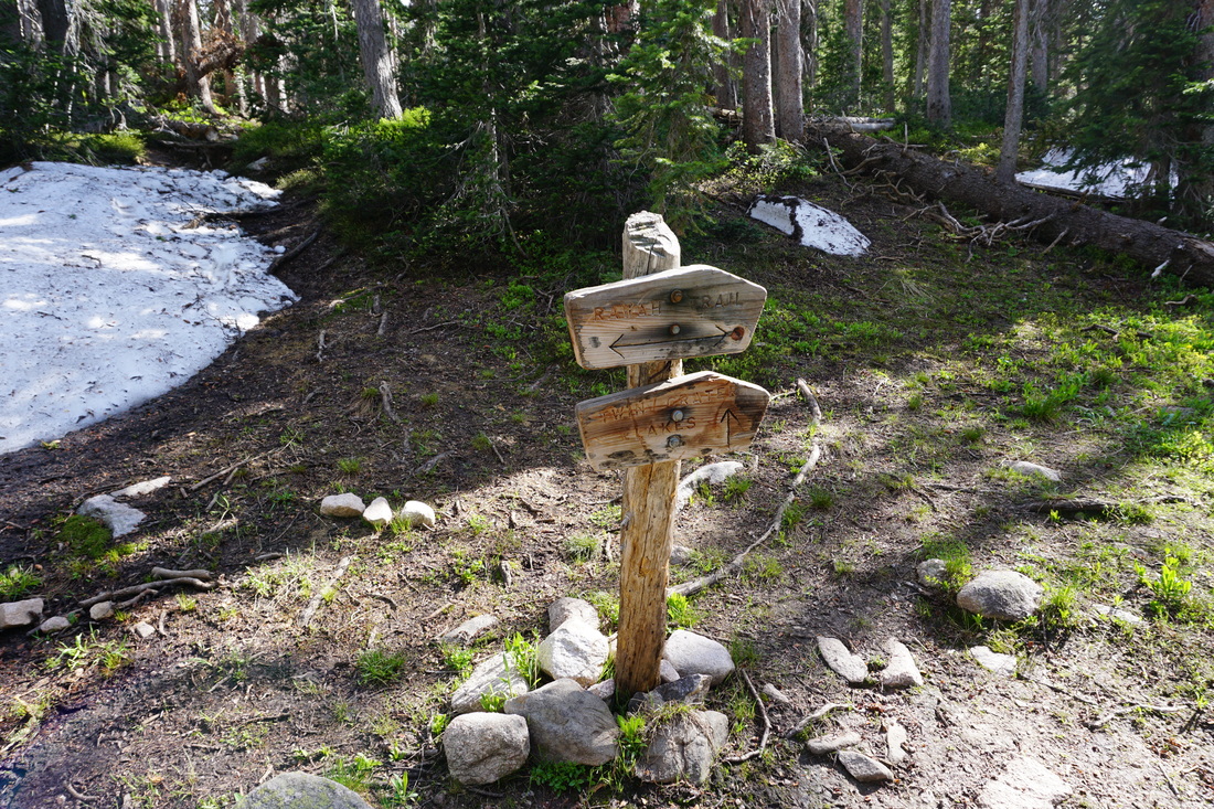
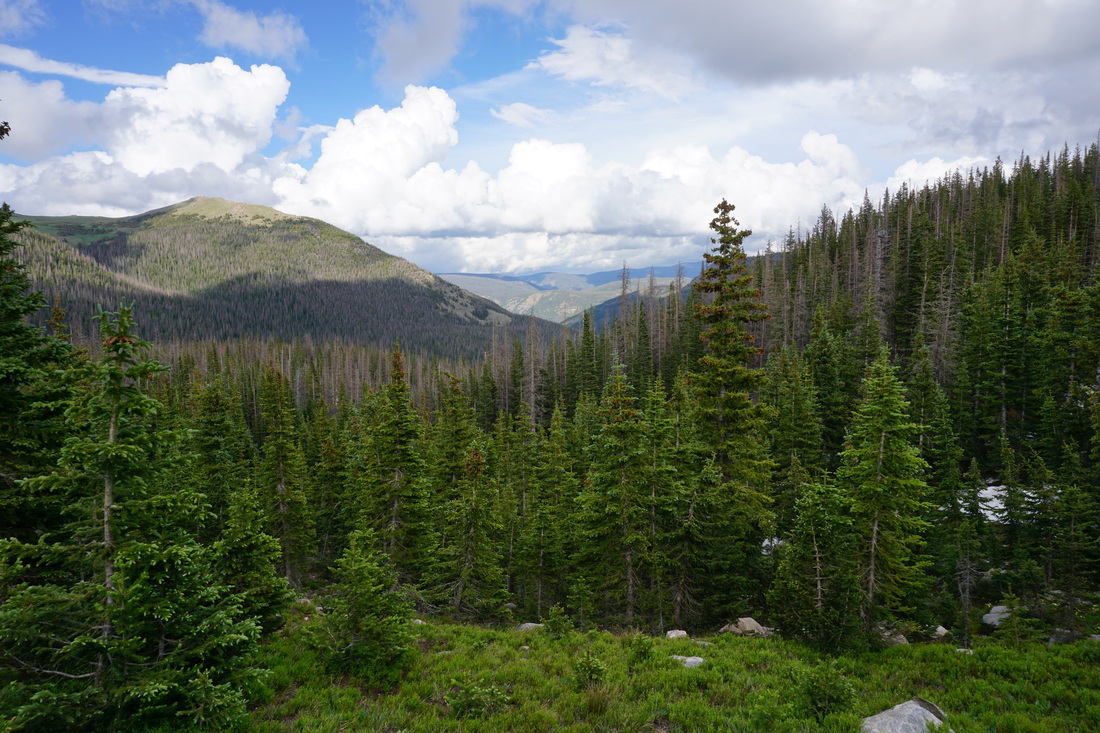
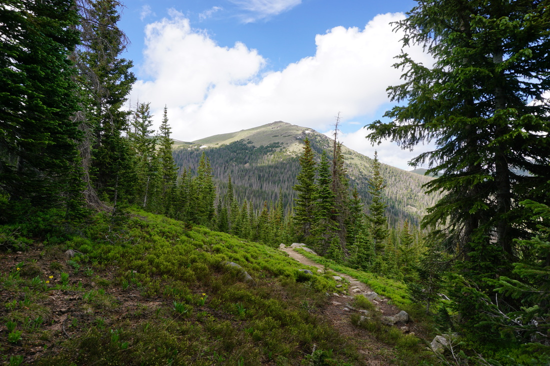
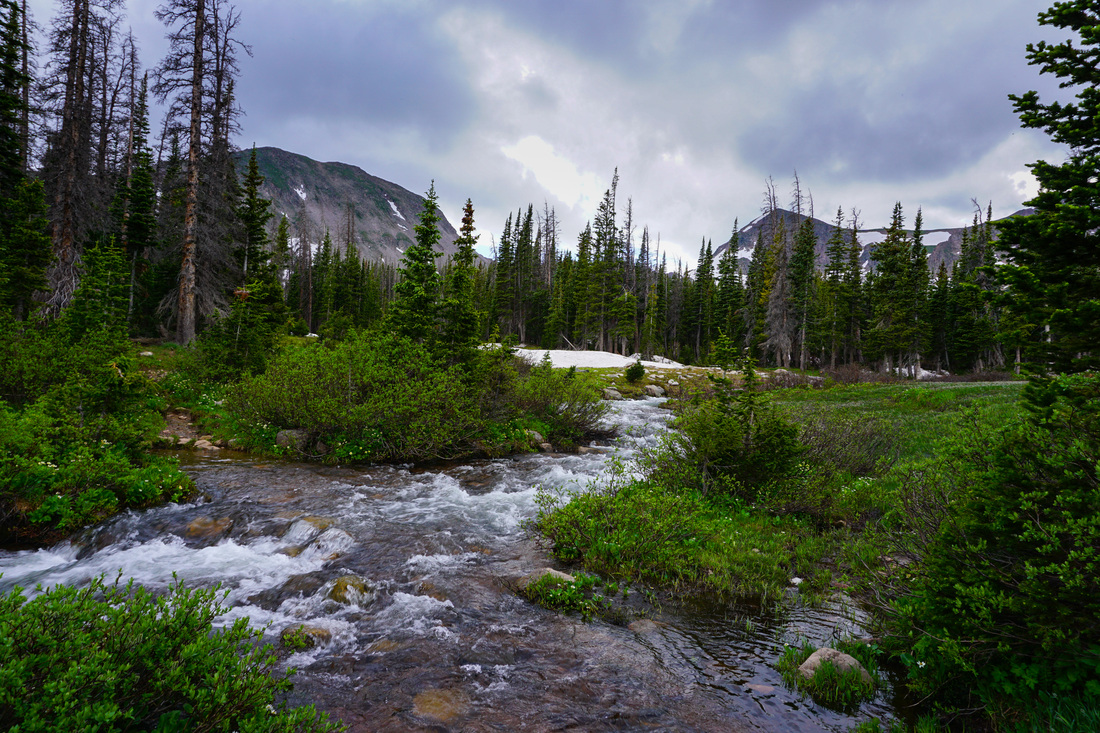
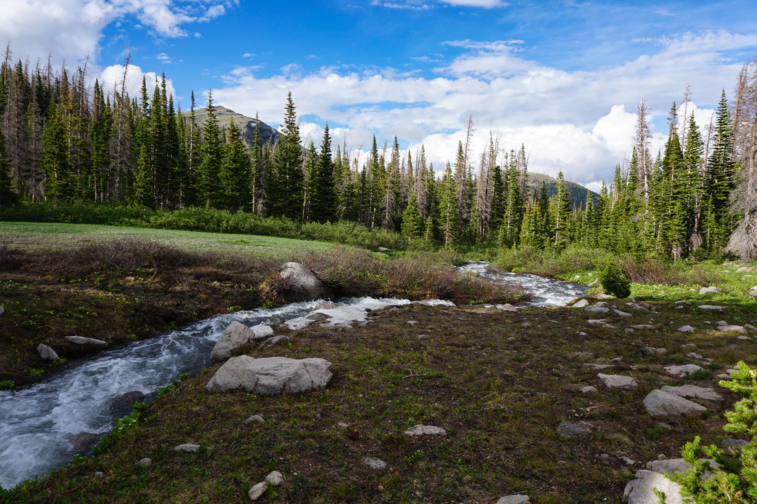
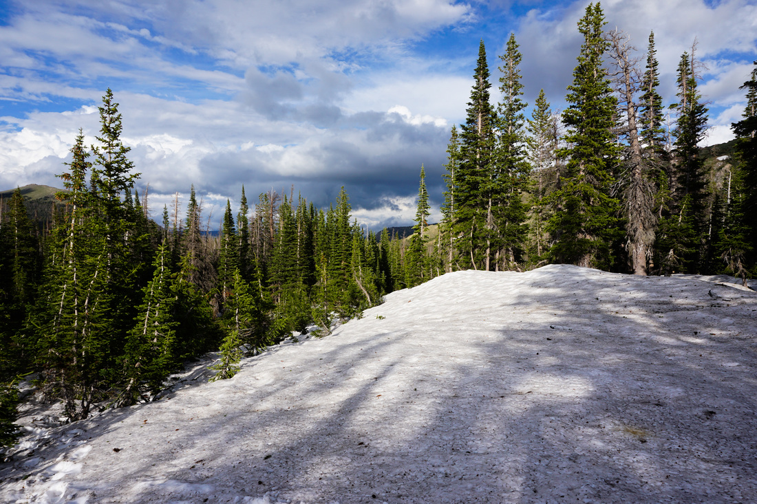
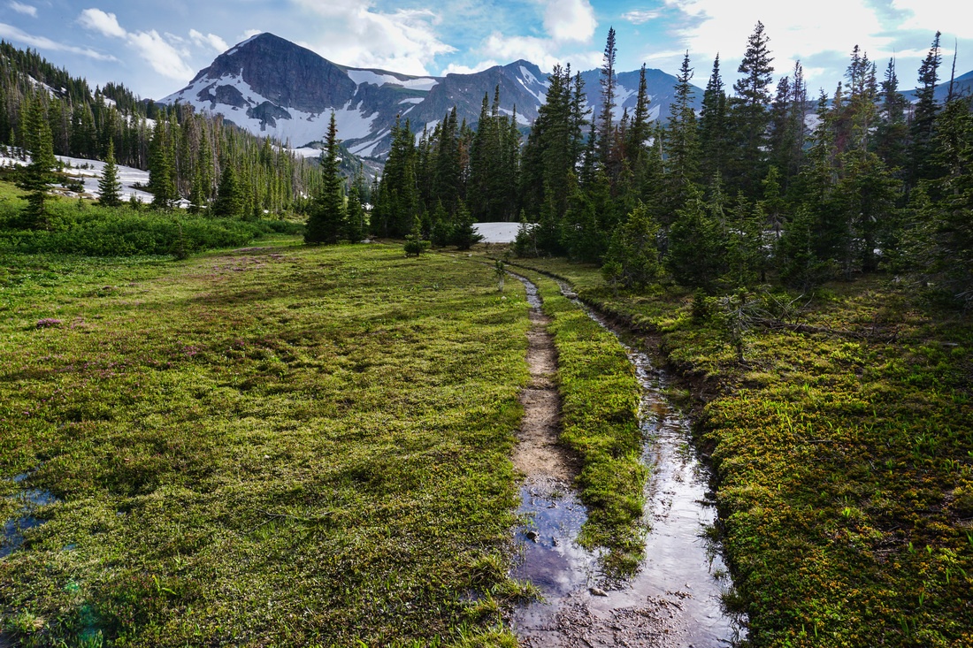
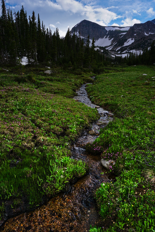
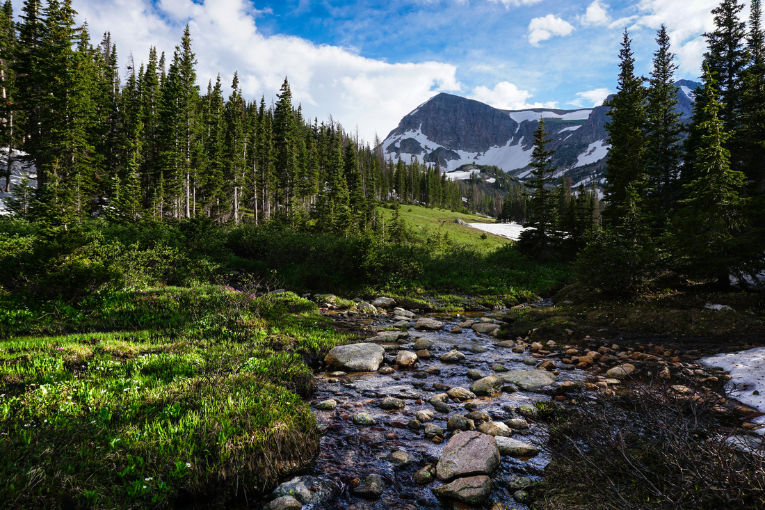
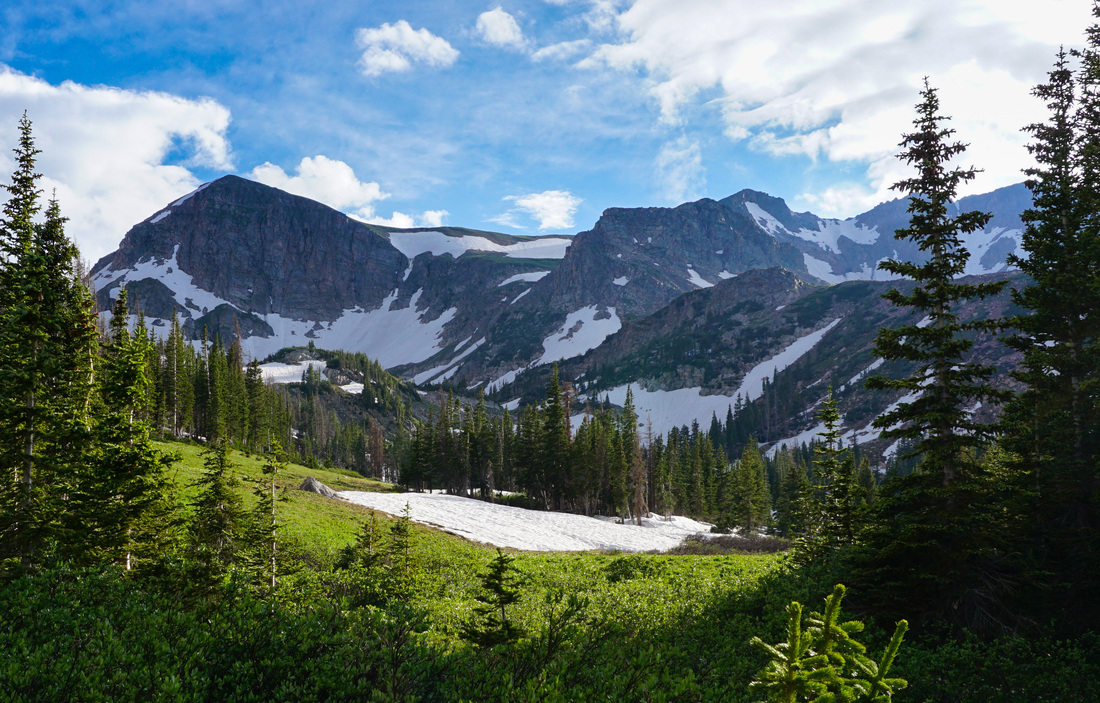
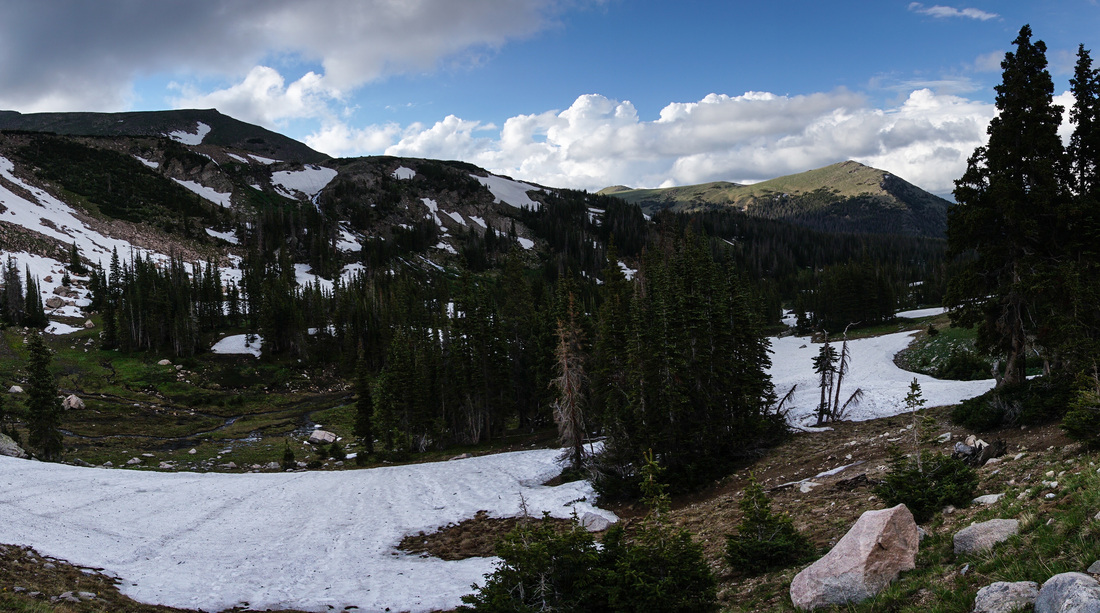
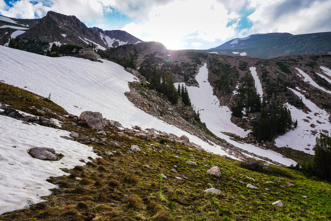
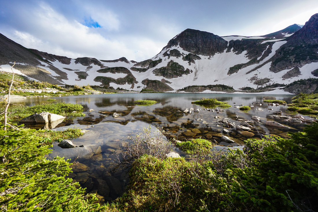
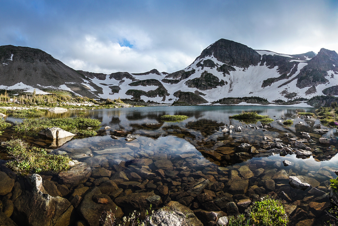
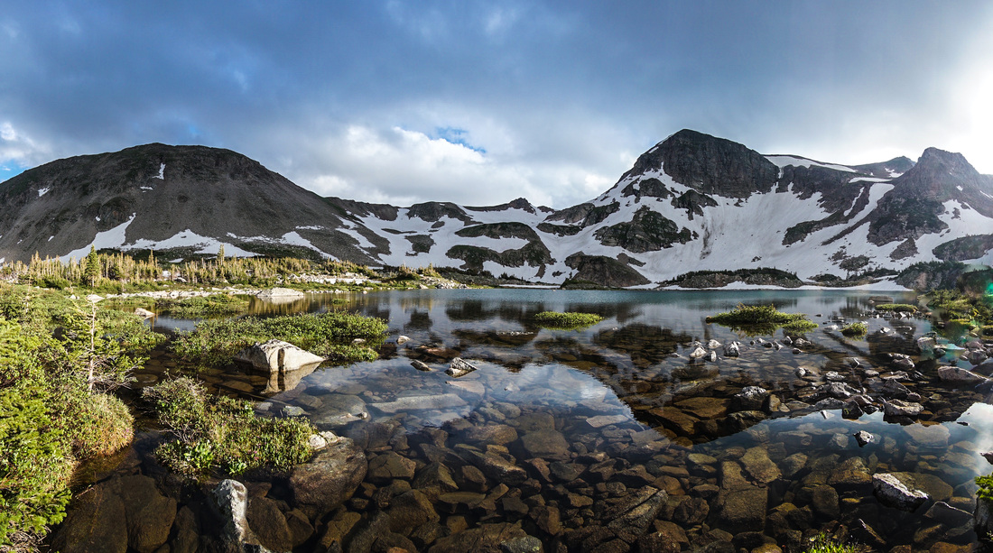
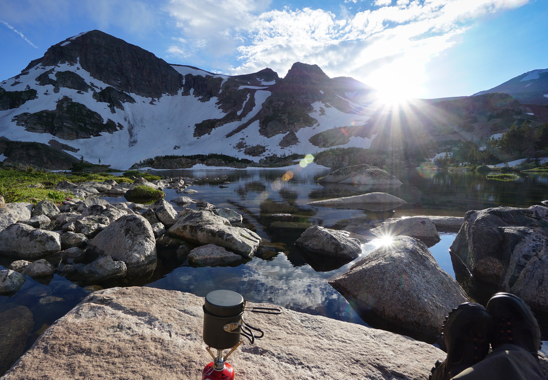
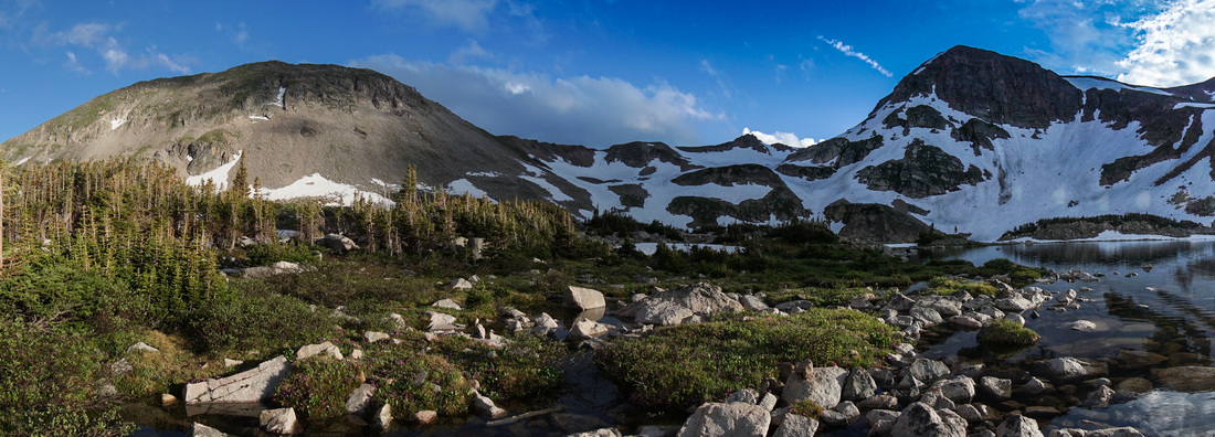
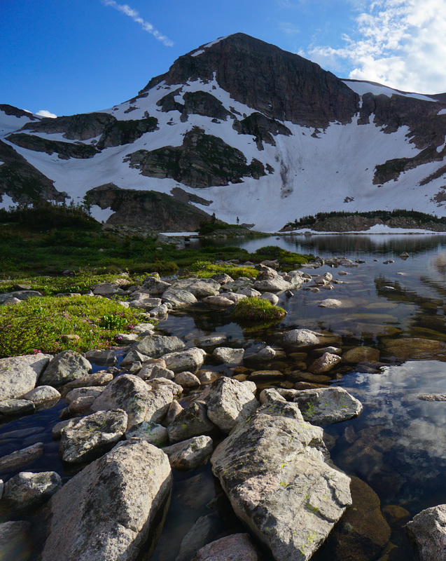
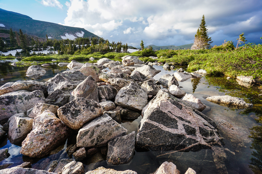
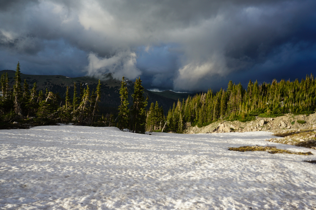
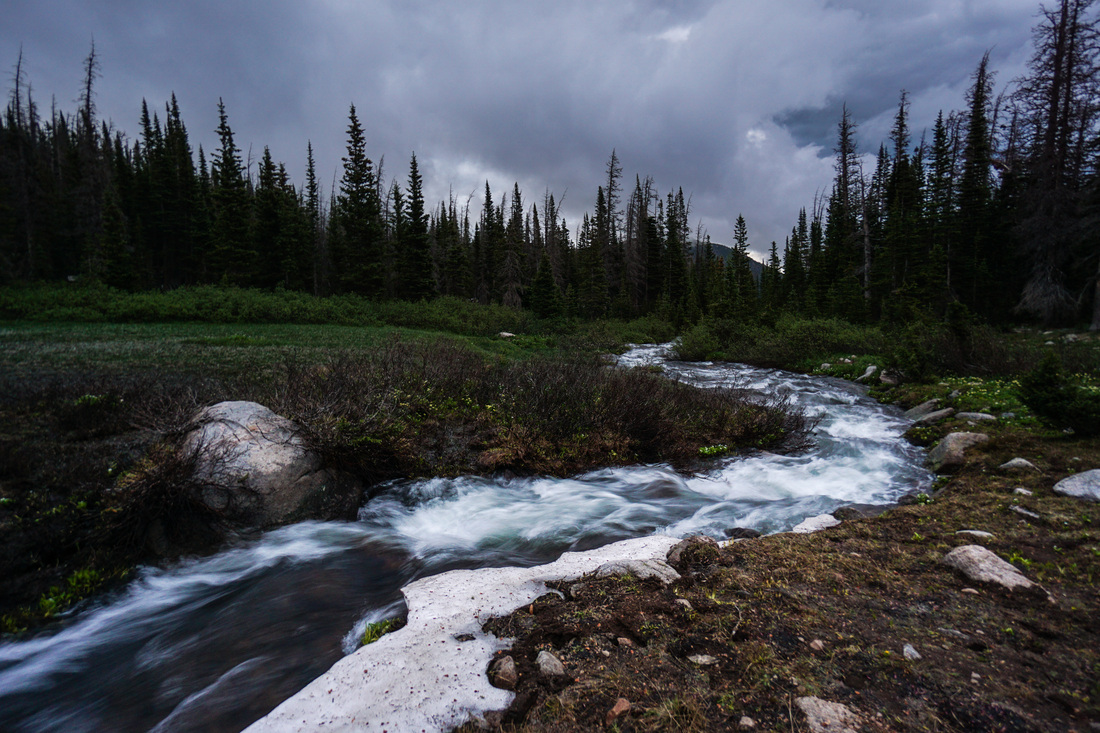
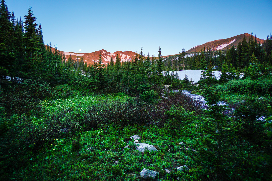
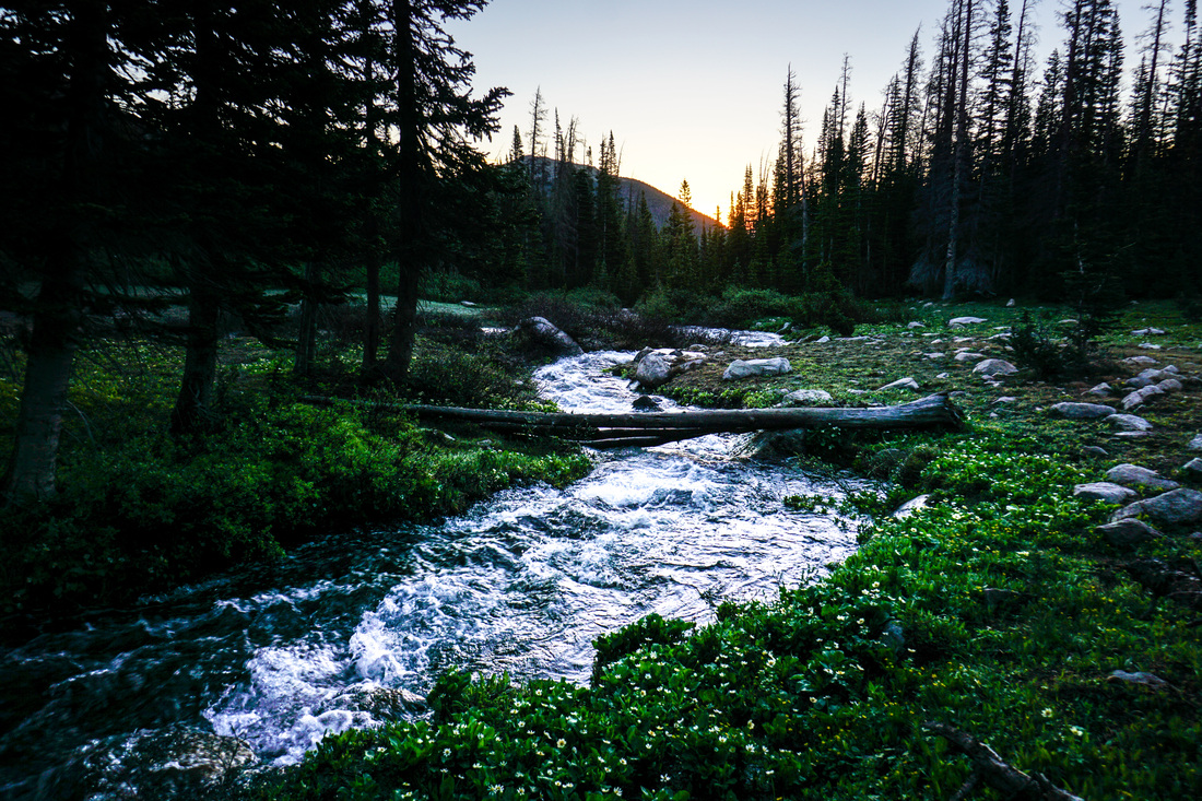
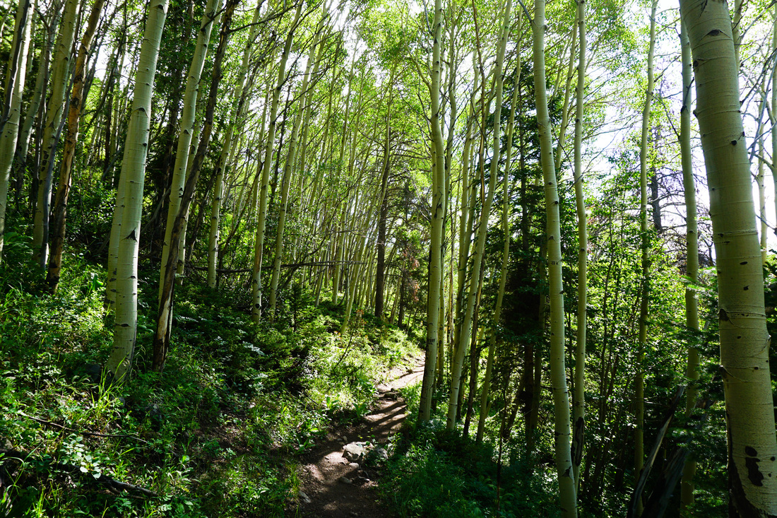
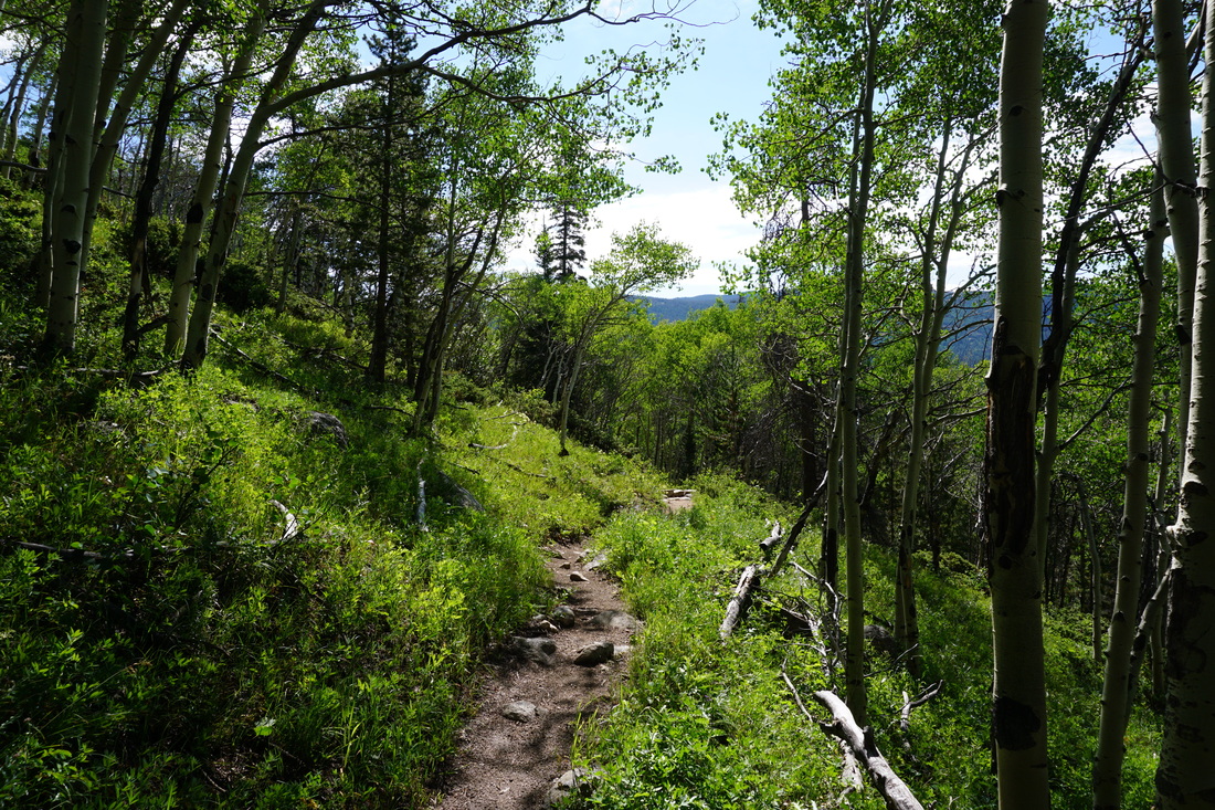
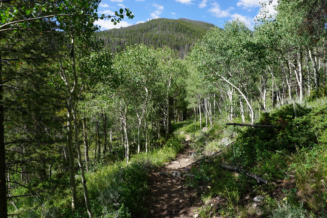
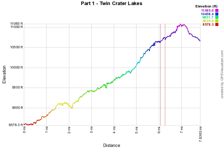
The Twin Crater Lakes are one of the hidden gems of the Front Range. Deep inside the Rawah Wilderness getting there requires either a killer day hike, or a moderate backpacking trip...I suggest backpacking. For this hike you just need to keep in mind that the destination is phenomenal, while the approach can get monotonous. Hiking this trail later in the summer is recommended as this particular mid-July weekend provided very difficult trail conditions. Be warned there are 3 creek crossings on the Rawah Trail portion of the hike that are currently washed out (as of July 2014) and there is lots of deadfall making for difficult backpacking. But... it is absolutely worth every bit of energy you can muster to get up to the Twin Crater Lakes Basin, it is amazing. The first three miles of the hike traverse wonderful aspen forest that gradually transitions to lodgepole pine forest. The hiking is mild with a few strenuous stretches. When you reach the junction with the Camp Lake Trail, stay straight on the West Branch for another, easier mile. At the 4 mile mark you'll reach the 1st creek crossing which may require some wading. Just after the creek you'll turn right (north) onto the Rawah Trail. This is the segment that could use some trail maintenance. Continue through pine forest for about 1.5 miles and cross two more large creeks before reaching the turnoff for the Twin Crater Lakes trail. From here it is about 1.5 miles to the Lakes. The Twin Crater Lakes trail steeply gains altitude for about .5 mi before entering a wonderful meadow with a creek running through it. This makes for a great campsite area. You can camp further up the trail but you soon break treeline and with the frequent afternoon storms it is generally safer to camp below the treeline. The trail from the meadow to the lakes makes all the effort to get here worth it. This basin is wonderful, the views of the peaks, many of which are unnamed, will beckon you forward. There may be some snowfields to cross but after a short steep climb you'll find yourself at the edge of the first of the Twin Crater Lakes...pure paradise... You can explore the shores of both lakes and the views of the surrounding peaks and back down the valley are tremendous. Unfortunately for me, I was interrupted by a surprise storm coming UP the valley (while the weather at the peaks was beautiful) and had to run back to my camp. Still if all you get to see is the tip of the first lake, then the trip is a huge success. This is tough spot to get to but the rewards are all the sweeter. If you have the time, I highly recommend spending a few days exploring this area, there are bench lakes all around and opportunities for long backpacking routes, with minimal people. But if you had to choose one spot to focus on, the Twin Crater Lakes will not disappoint. |
|