GO HIKE COLORADO
Get in Touch:
  • HOME
  • ABOUT
  • HIKES BY REGION
    • DENVER AREA >
      • Denver Mountain Parks
      • Jefferson County Open Space
      • Lakewood Parks
      • Denver Area Greenways
    • BOULDER AREA
    • DOUGLAS COUNTY
    • FORT COLLINS AREA
    • COLORADO SPRINGS AREA
    • FRONT RANGE
    • TENMILE & MOSQUITO RANGES
    • GORE RANGE
    • SANGRE DE CRISTO MOUNTAINS
    • PARK RANGE
    • SAWATCH RANGE
    • ELK MOUNTAINS
    • SAN JUAN MOUNTAINS
    • THE FLAT TOPS
    • GRAND MESA
    • COLORADO PLATEAU
    • EASTERN PLAINS
  • NATIONAL PARK HIKES
    • BENT'S OLD FORT NATIONAL HISTORIC SITE
    • BLACK CANYON OF THE GUNNISON NATIONAL PARK
    • COLORADO NATIONAL MONUMENT
    • CURECANTI NATIONAL RECREATION AREA
    • DINOSAUR NATIONAL MONUMENT
    • FLORISSANT FOSSIL BEDS NATIONAL MONUMENT
    • MESA VERDE NATIONAL PARK
    • ROCKY MOUNTAIN NATIONAL PARK
    • GREAT SAND DUNES NATIONAL PARK
    • HOVENWEEP NATIONAL MONUMENT
    • SAND CREEK MASSACRE NATIONAL HISTORIC SITE
    • YUCCA HOUSE NATIONAL MONUMENT
  • HIKES BY CATEGORY
    • HIKES TO ALPINE LAKES
    • HIKES TO PEAKS & PASSES
    • HIKES THROUGH CANYONS
    • HIKES WITH FALL COLORS
    • HIKES ALONG THE I-70 CORRIDOR
    • HIKES ON PAVED TRAILS
    • HIKES FOR KIDS
    • HIKES TO WATERFALLS
    • HIKES ALONG RIVERS
    • HIKES WITH ROCK FORMATIONS
    • HIKES WITH WILDFLOWERS
    • WINTER HIKES
  • NEWS
  • WEBCAMS
  • $UPPORT GHC
  • INTERACTIVE MAP

Turtle Pond via C-470 Bikeway Eldridge TH
​Bear Creek Lake Regional Park

Date Hiked: March 25, 2019

Distance: 2.3. mi (RT)
Elevation Gain: 200 ft
Elevation Min/Max: 5,583 to 5,797 ft
Trailhead Lat/Long: 39º 38' 11" N; 105º 09' 25" W 
Managing Agency: City of Lakewood
​Fee: None

Bear Creek Lake Park Website

Picture

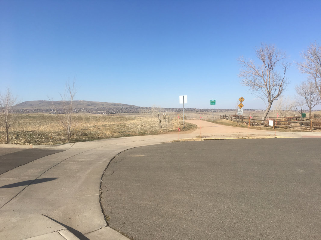
Directions:  The parking area is at the end of Eldridge Street.  From C-470 take the Quincy Street Exit.  Turn left after the strip mall onto Edlridge Street and follow it to the end where you will see the paved trail.  Park along the street.

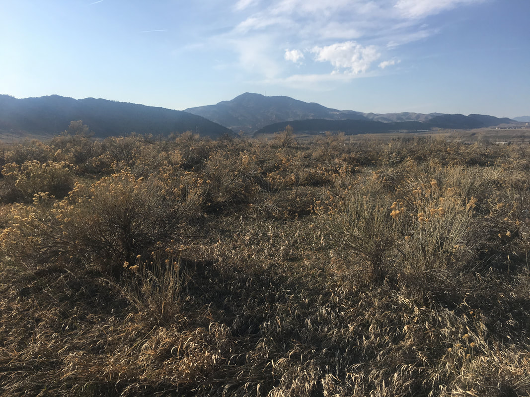
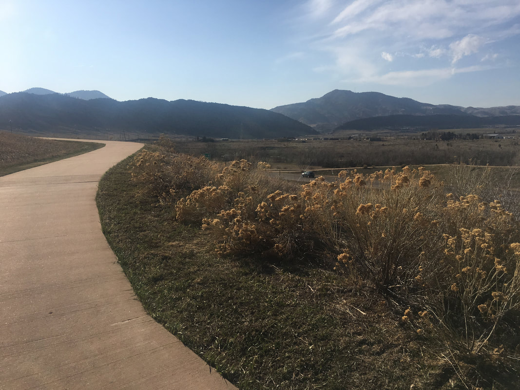
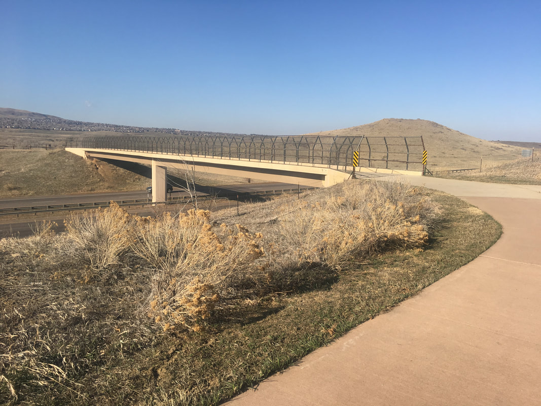
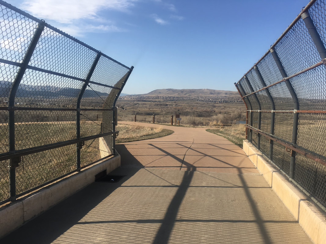
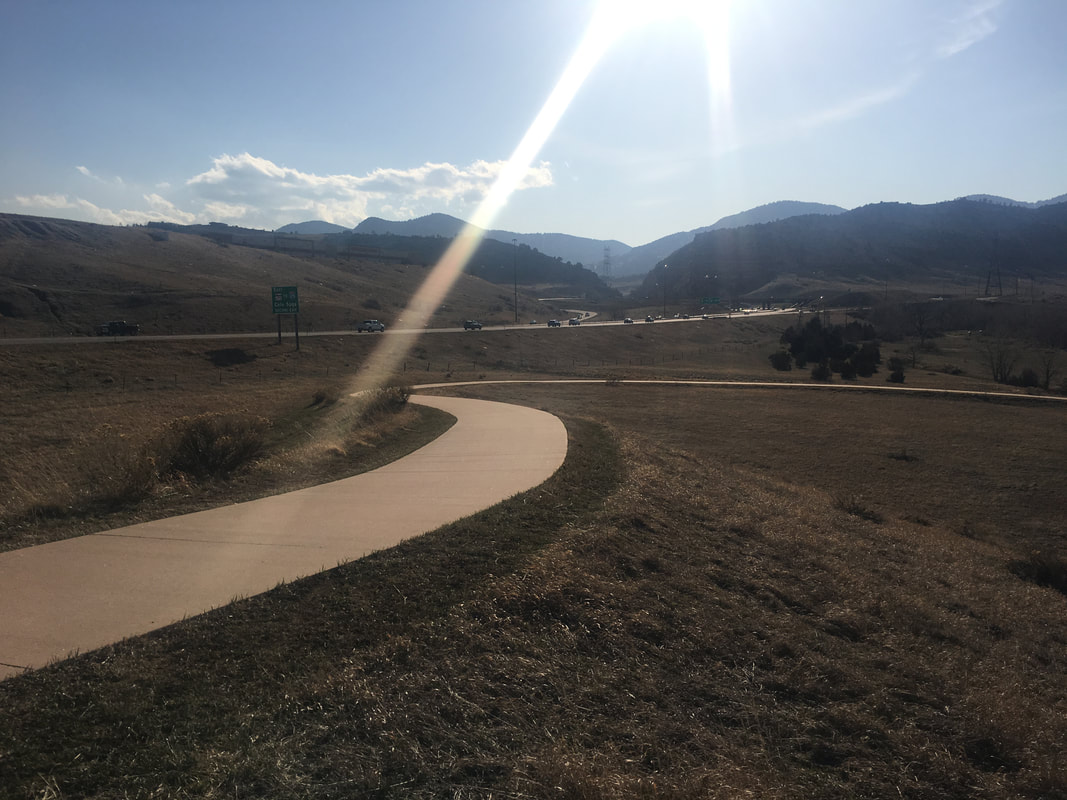
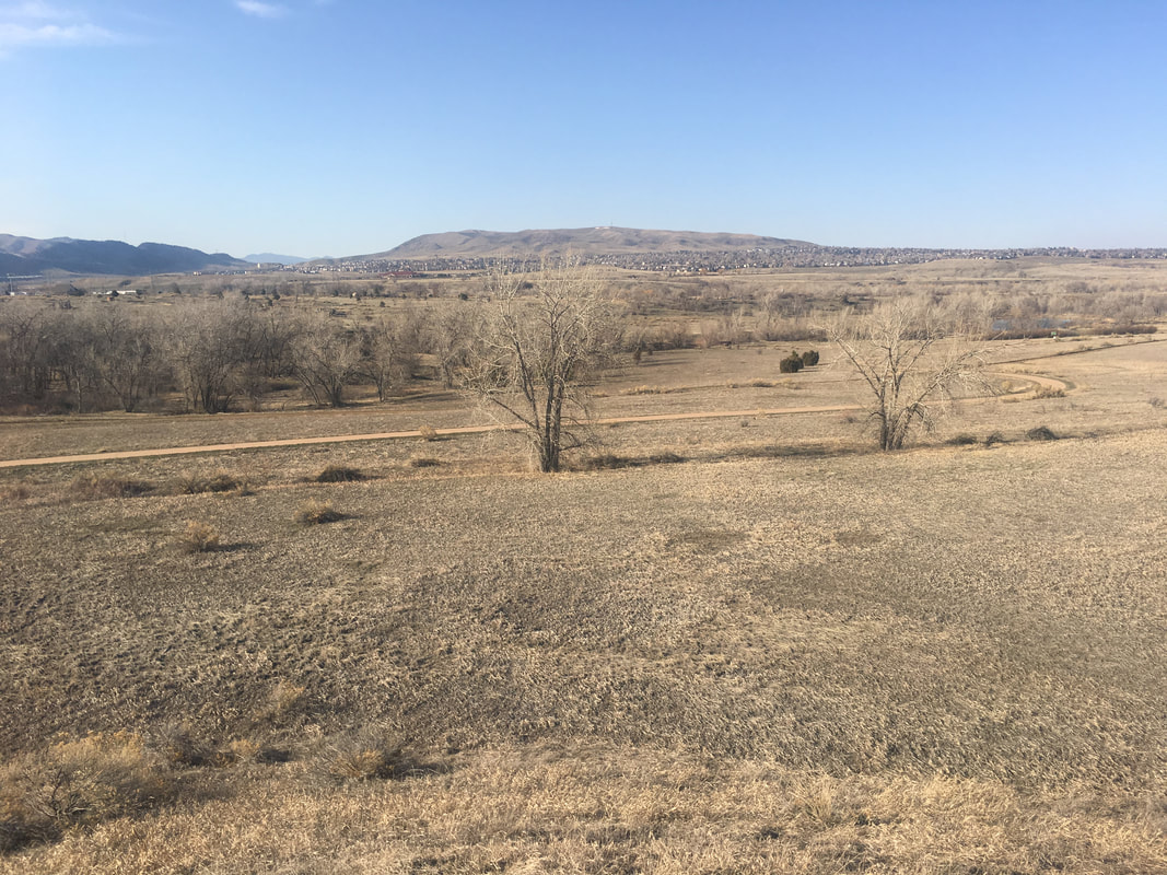
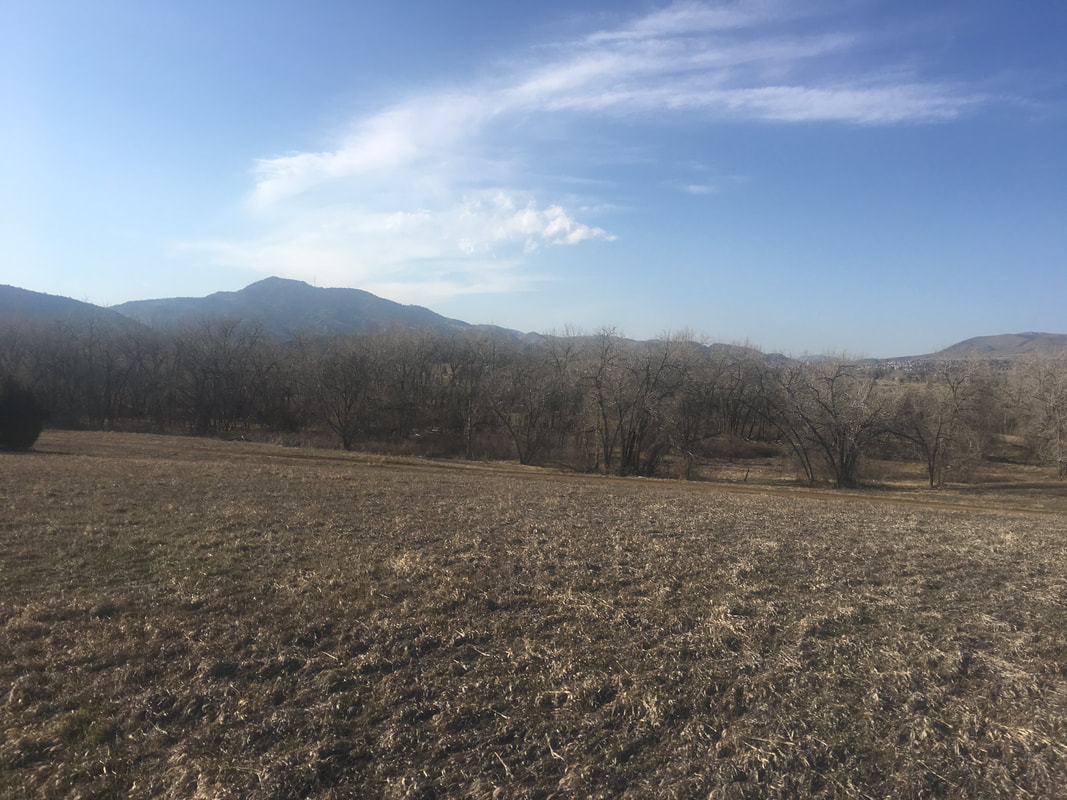
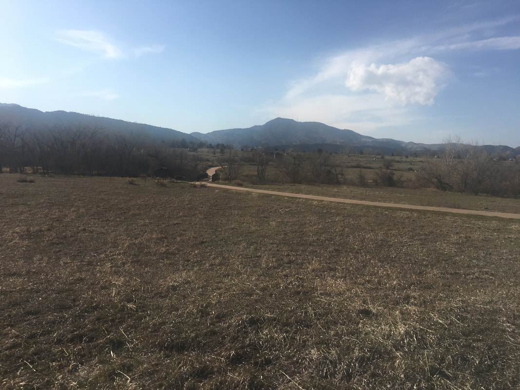
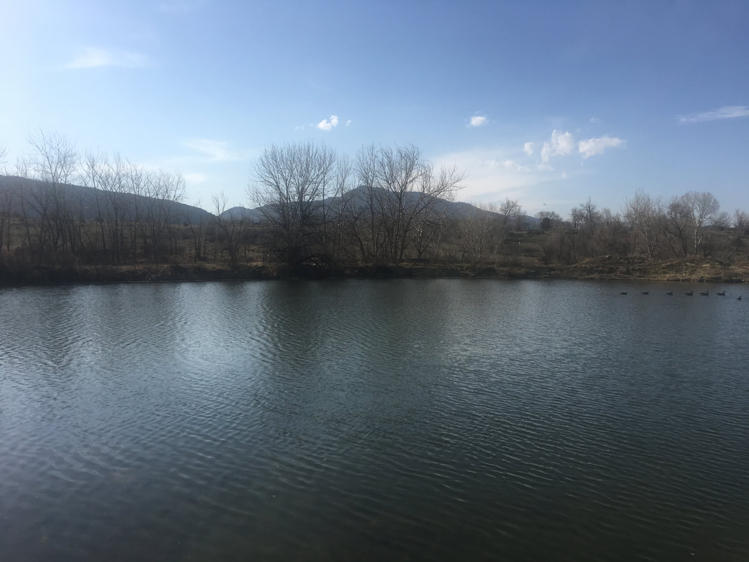
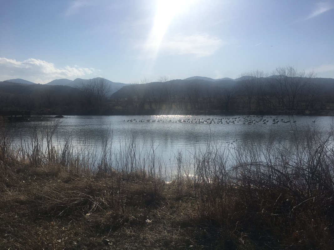
Bear Creek Lake Park has many different access points and this is one of the lesser known ones.  Starting from Eldridge Street, you follow a pedestrian bridge over Hwy 285 and drop down into the park.  The benefit of starting at this trailhead (aside from not having to pay park fees) is that you are immediately treated to wonderful views of Mt. Morrison, Green Mountain, and the entirety of Bear Creek Lake Park.

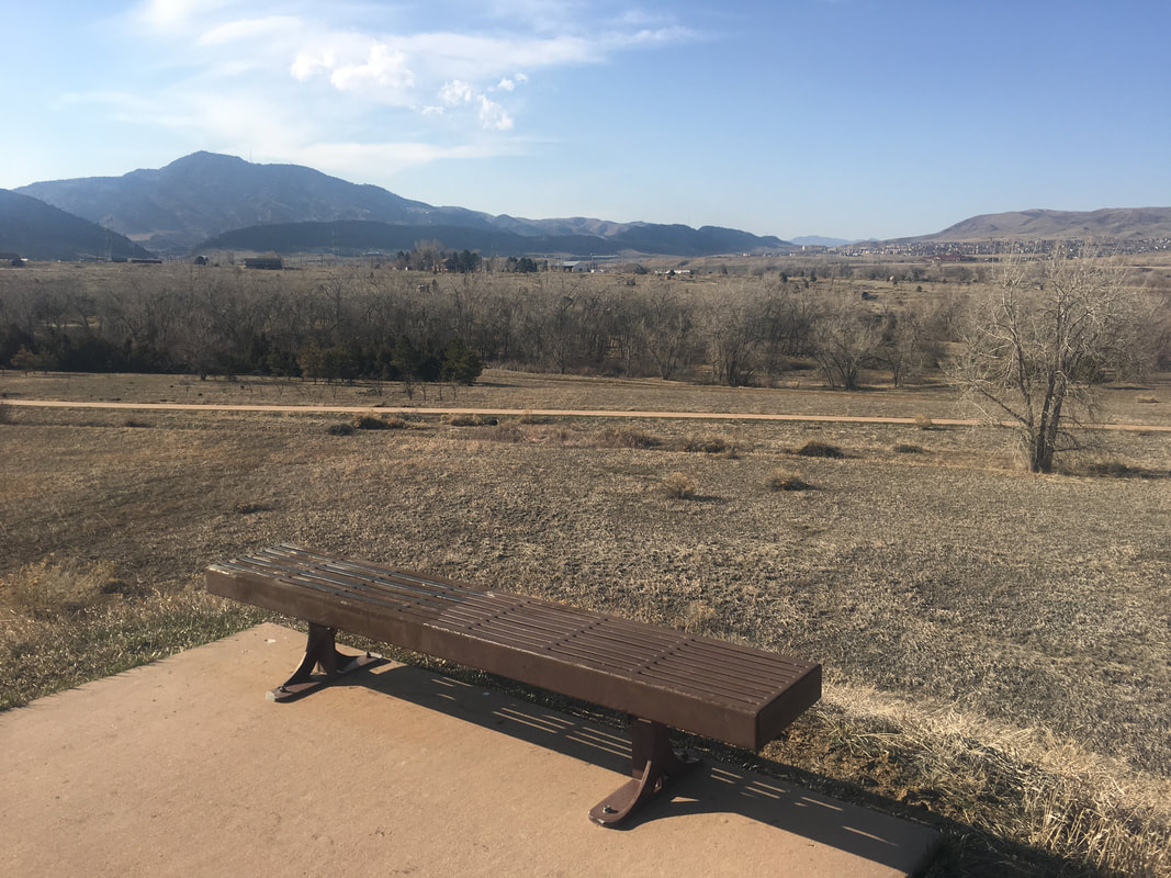
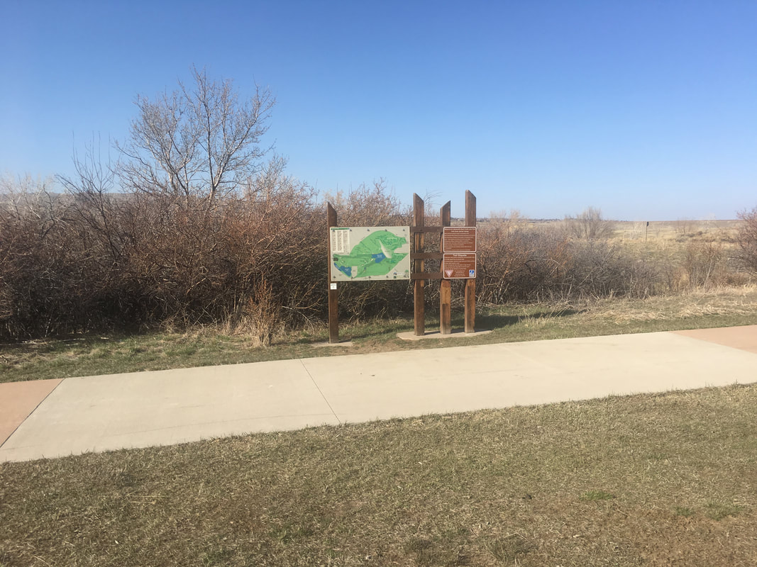
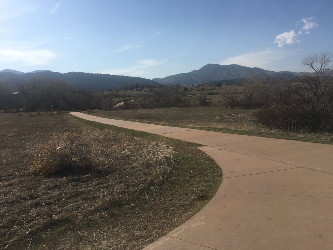
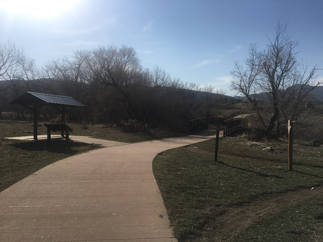
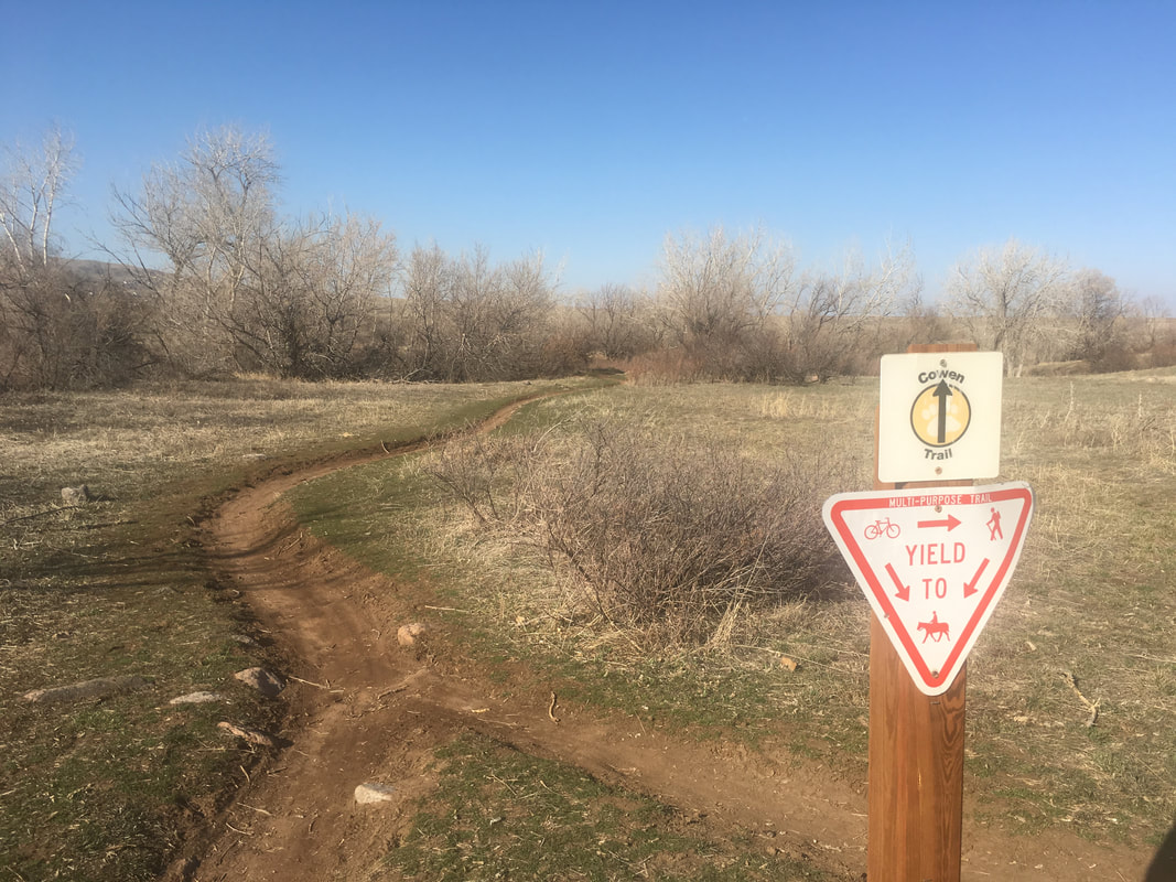
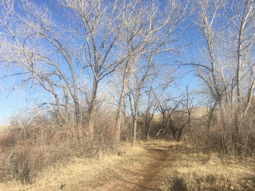
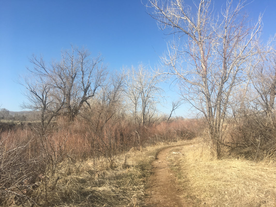
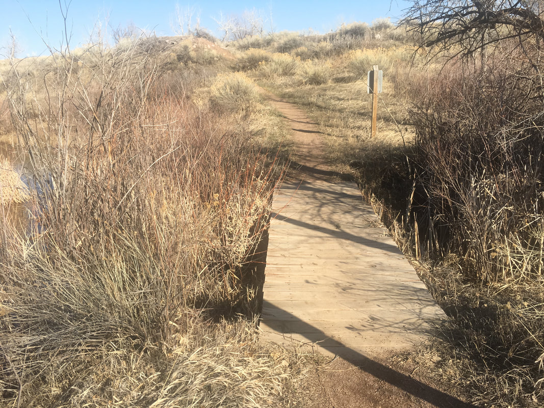
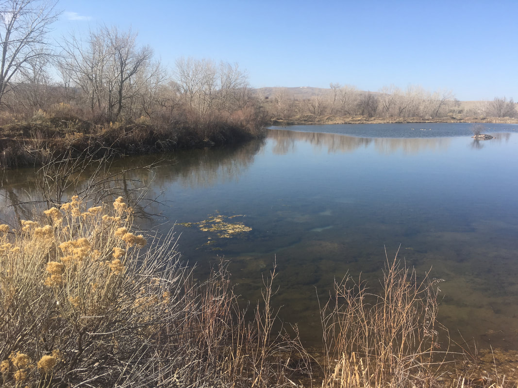
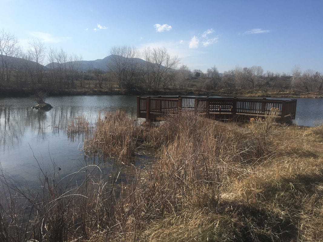
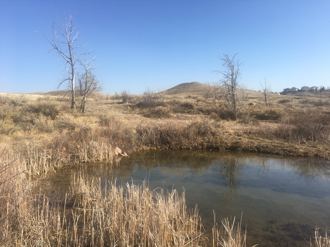
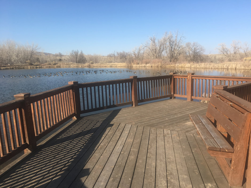
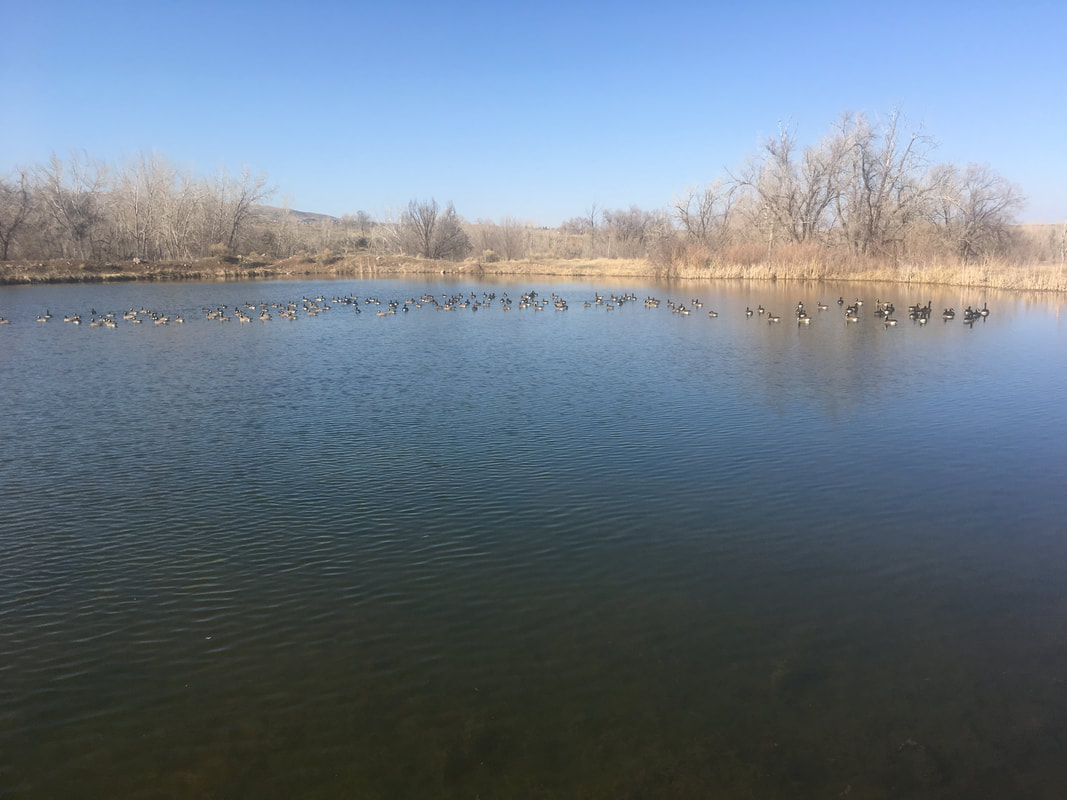
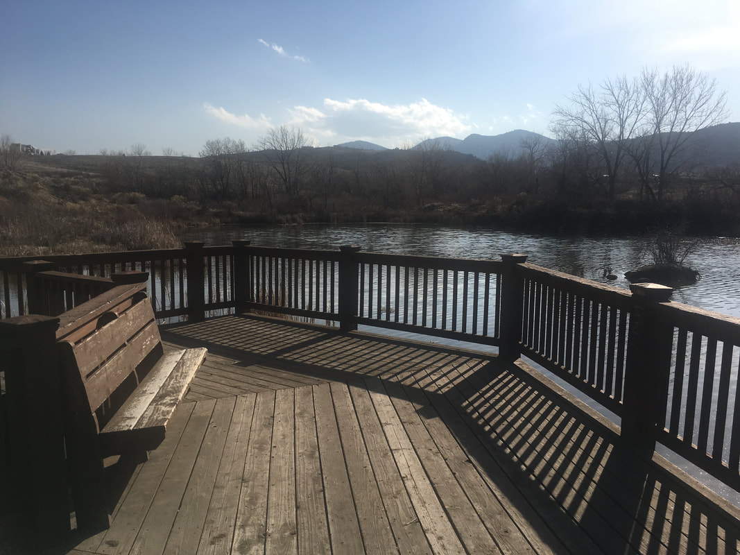
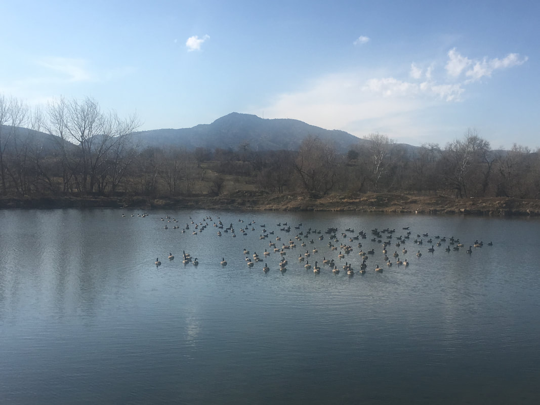
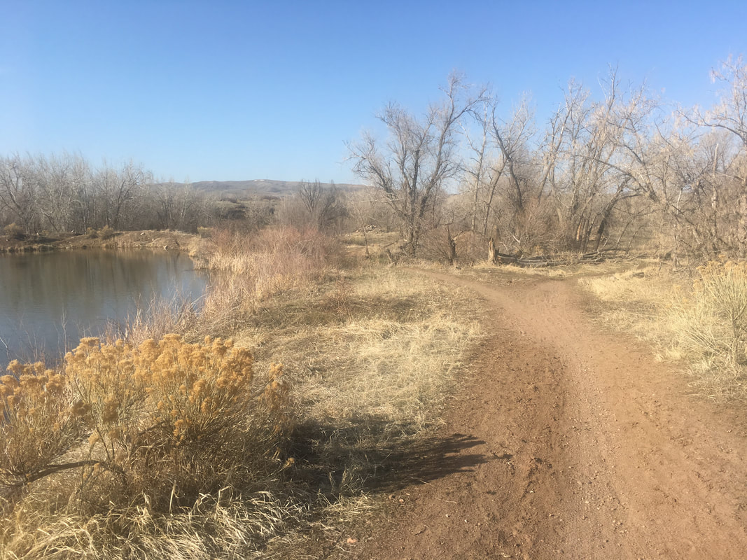
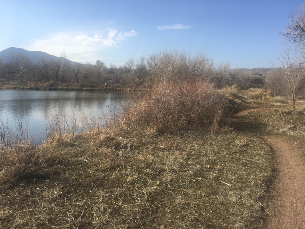
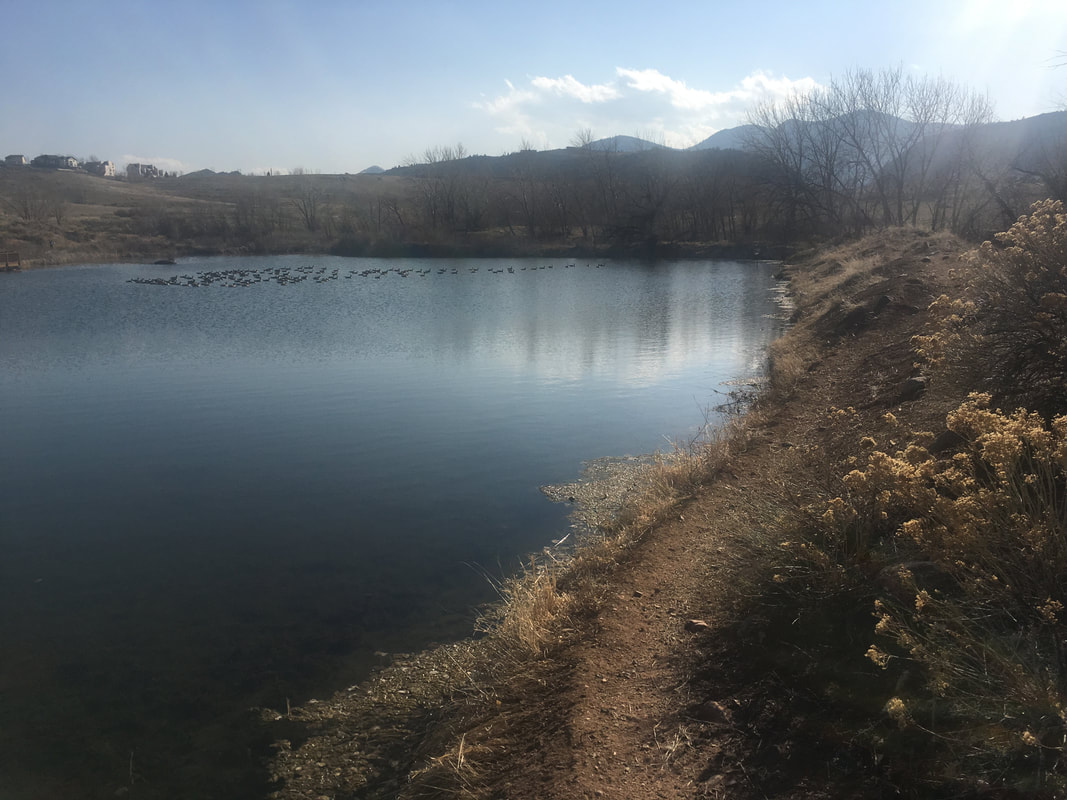
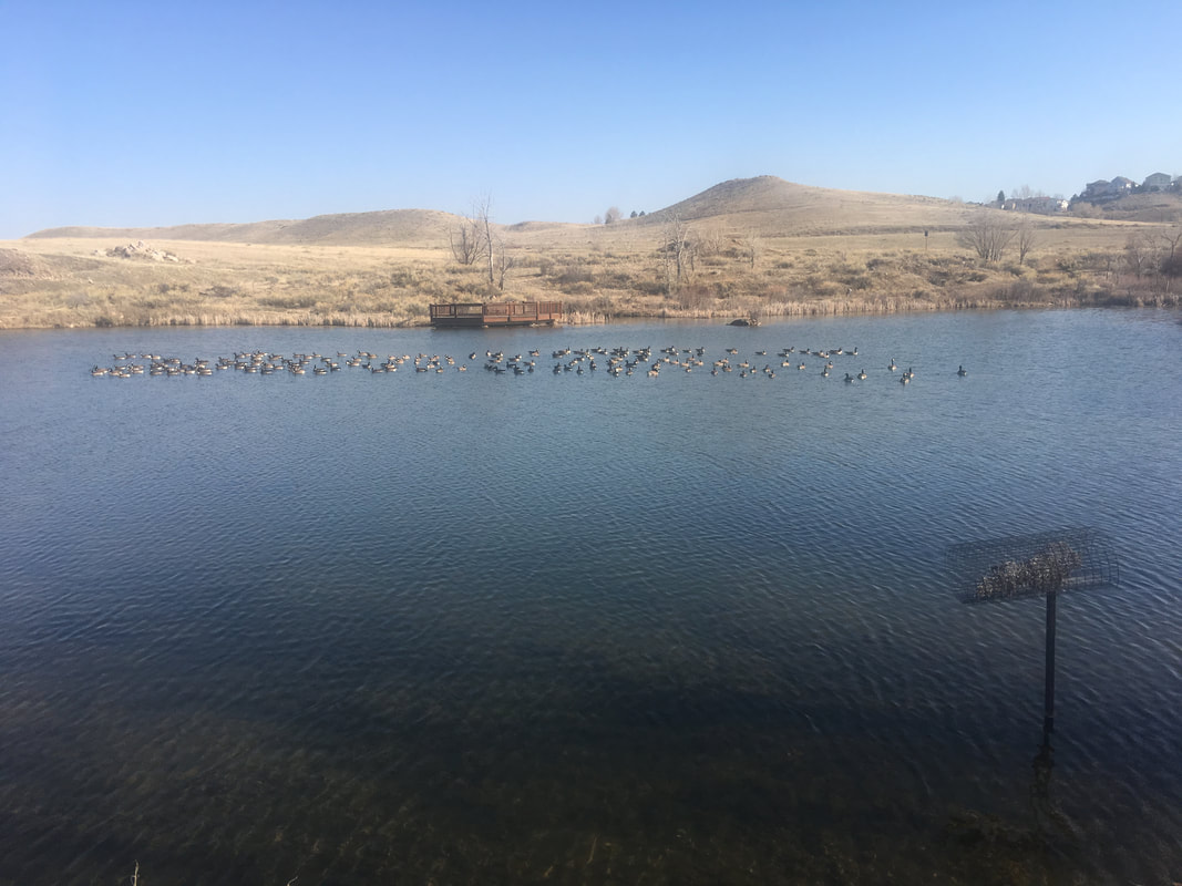
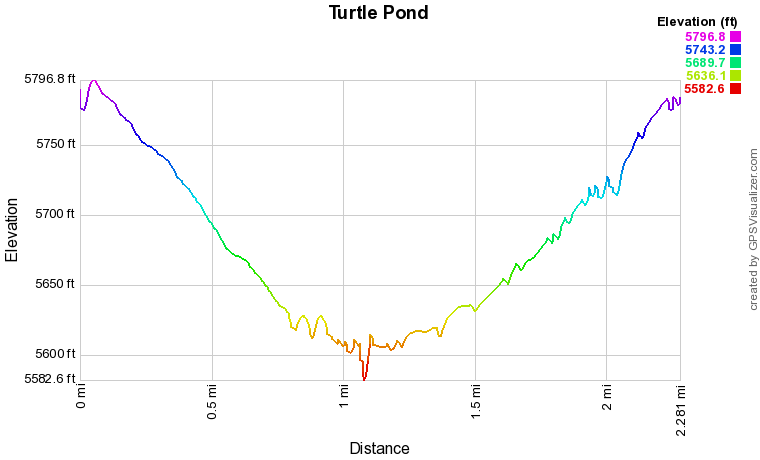
From the trailhead, follow the paved path to the bridge and down into Bear Creek Lake Park.  Once you reach the valley floor, the first junction has a park map and is a good place to stop and get your bearings.  You have many options, but if you are looking for just a quick walk, I recommend heading to the quiet and serene Turtle Pond. 

Turn left at the junction and turn right once you reach the gazebo onto the dirt Cowen Trail.  The Cowen Trail follows a small creek through cottonwoods to Turtle Pond.  Turtle Pond is a nice destination with a wildlife viewing platform and a trail circling the pond.  The trail continues towards Bear Creek Lake on the far side of the pond if you want to hike further.  Follow the trail around the pond and return to the Cowen Trail.  Retrace your steps back to the Gazebo and the paved trail heading back up and out of the park.

This hike offers just a small taste of Bear Creek Lake Park.  There are miles and miles of paved and natural surface trails here providing endless options for further exploration.  
Powered by Create your own unique website with customizable templates.