|
|
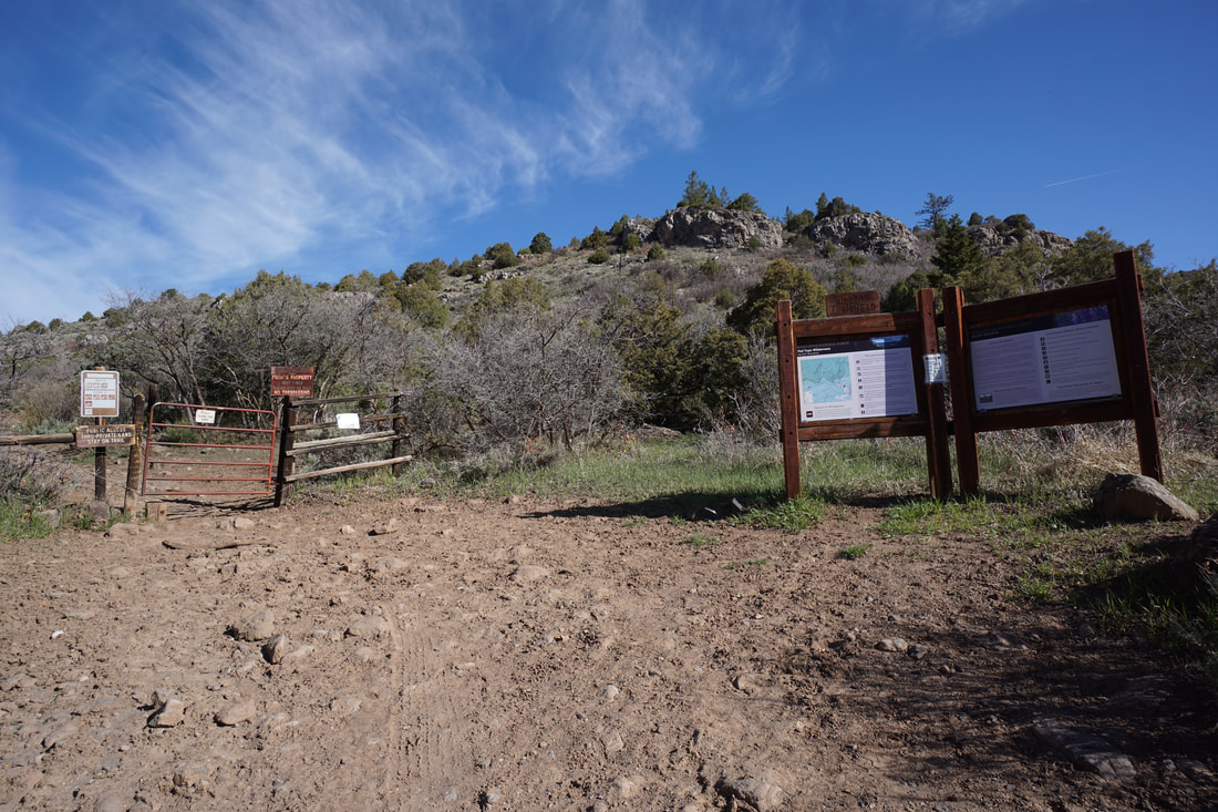
DIRECTIONS: From I-70 at Dotsero, turn left (north) on Route 301. Follow 301 for 7 miles to a junction and turn left (west) onto Sweetwater Road. Continue west for 10 miles along a paved road to Sweetwater Lake. Once you reach Sweetwater Lake follow the road that parallels the north shore of the lake for 2 miles to the Hilltop TH. This road is a good dirt road but the last few 10ths of a mile are rough, narrow, and steep.
|
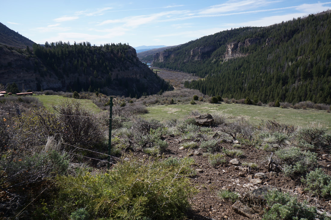
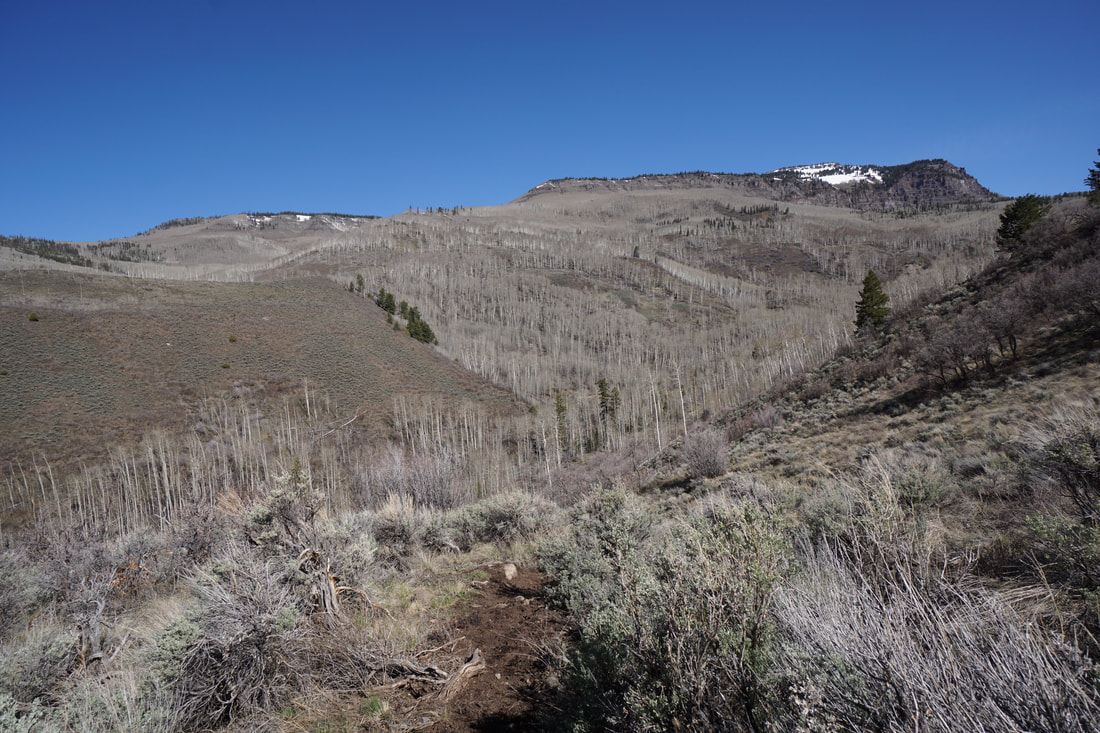
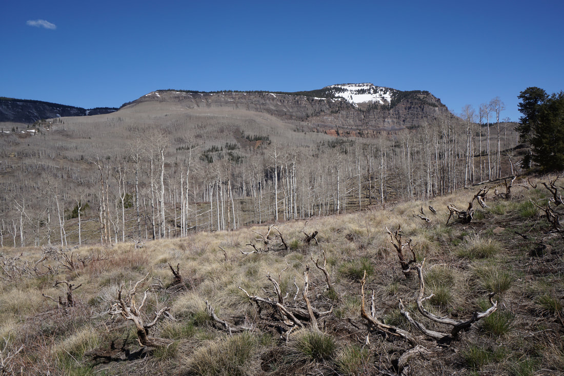
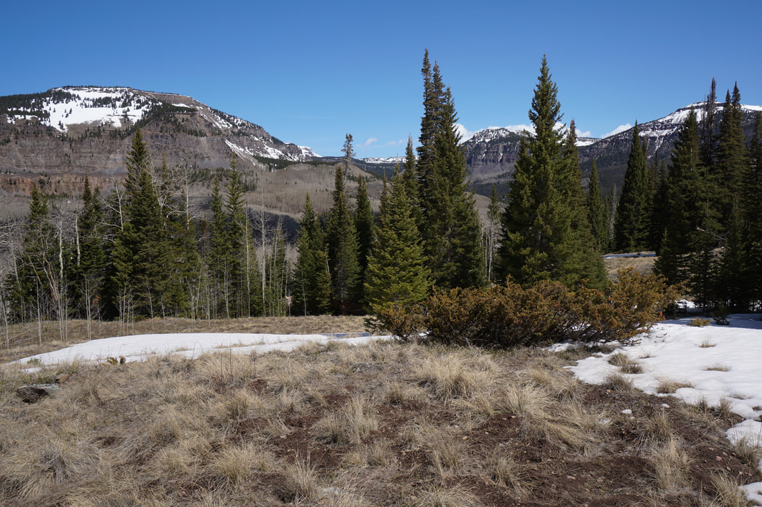
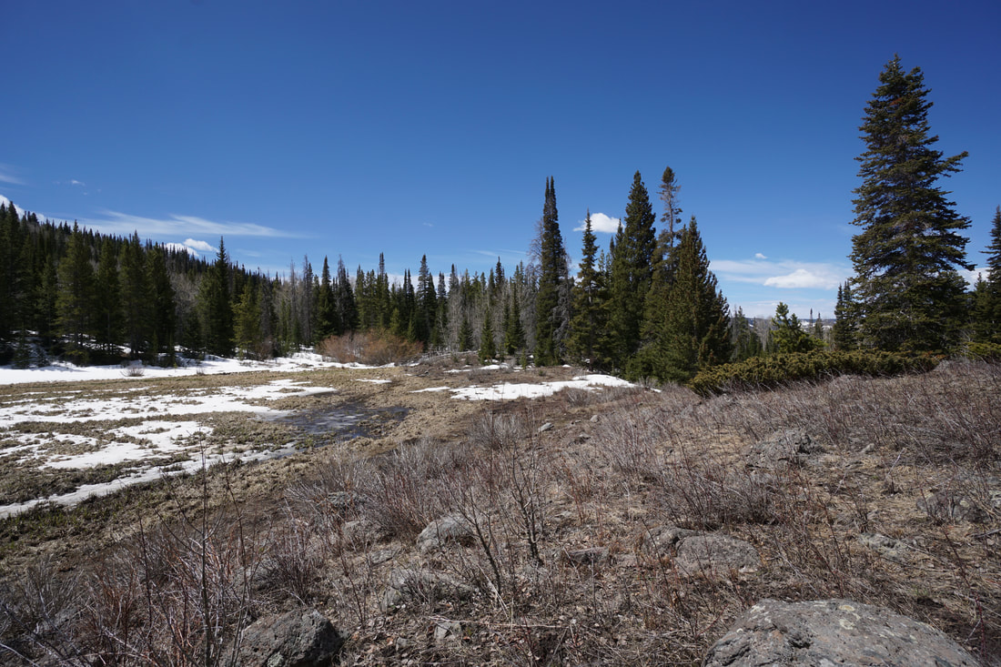
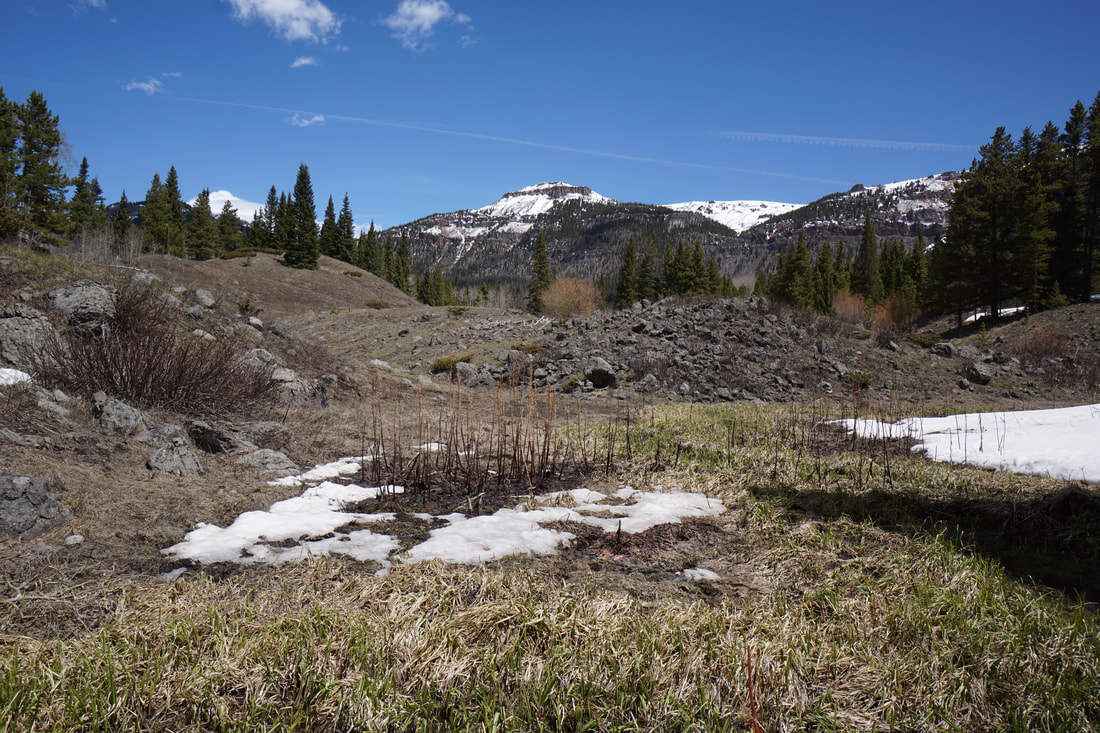
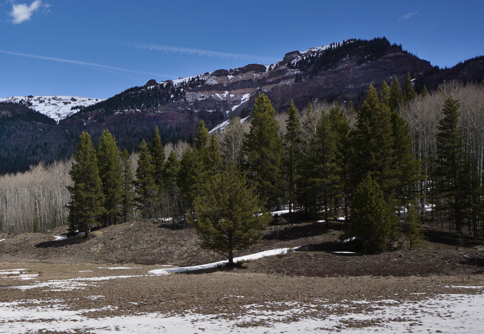
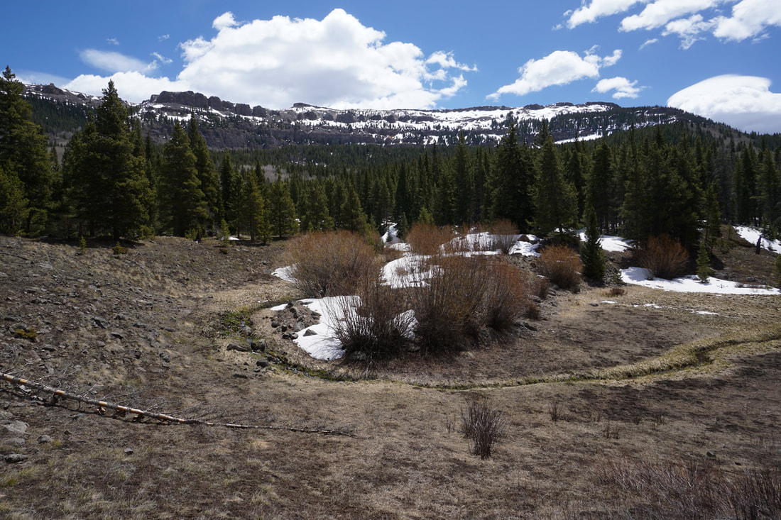
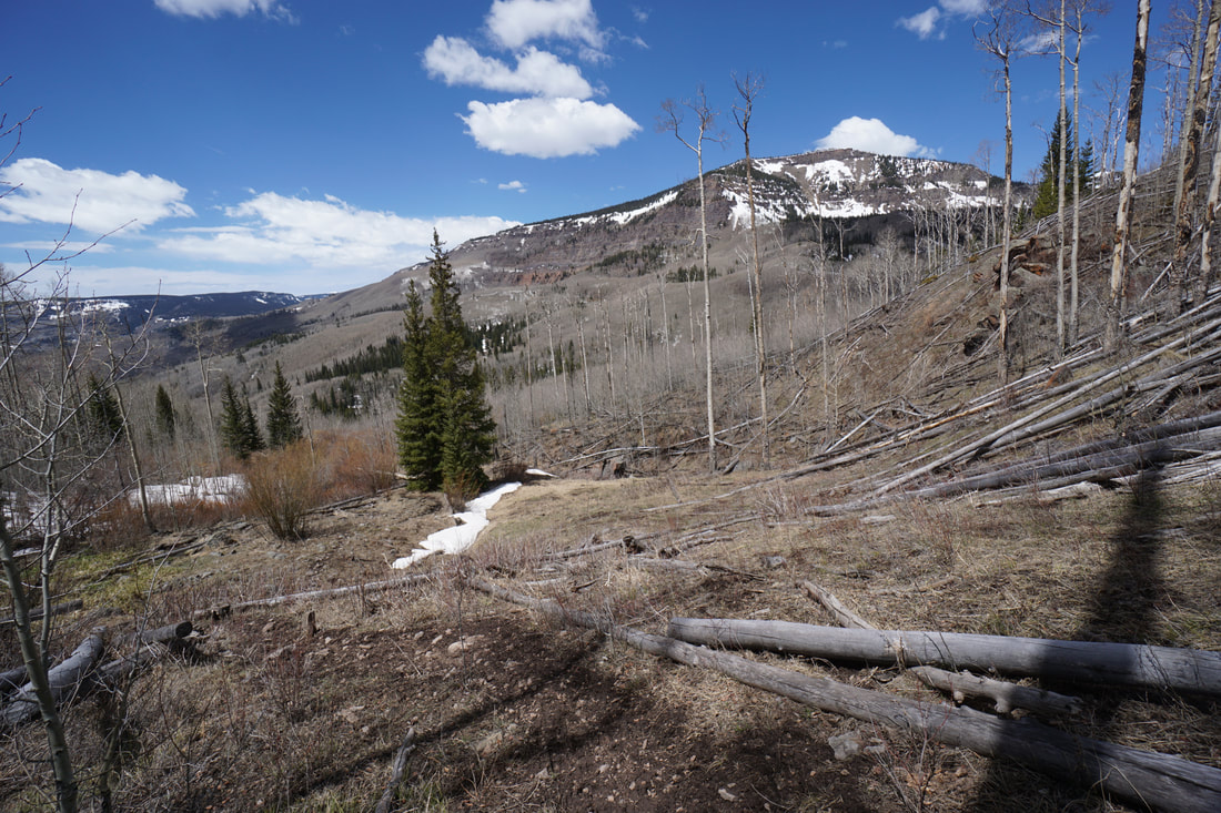
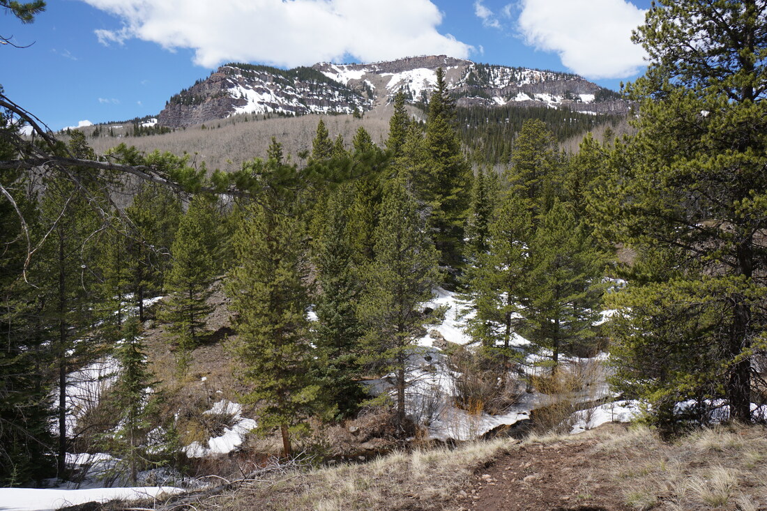
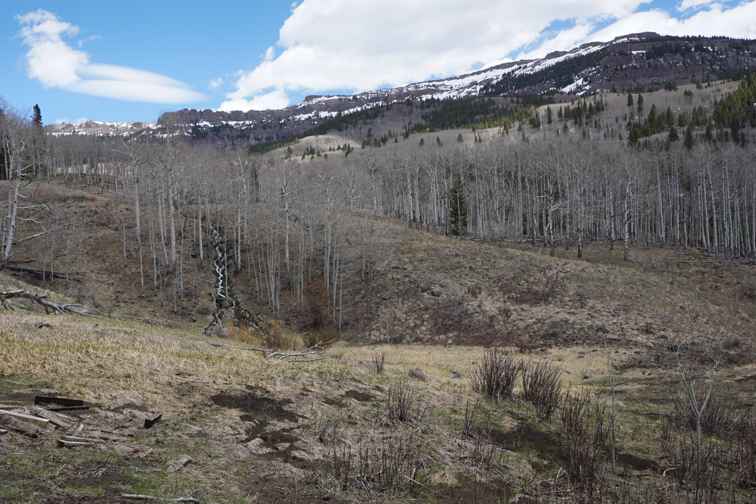
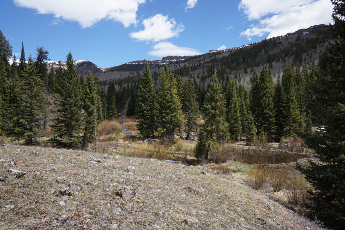
I love the Flat Tops. The Flat Tops Mountains are a unique range in western Colorado made up of high elevation plateaus capped by volcanic basalt. The result over millions of years of erosion are deep wide valleys with flat peaks rising to 12,000 ft. At the southeastern edge of the Flat Tops Wilderness area is Sweetwater Lake.
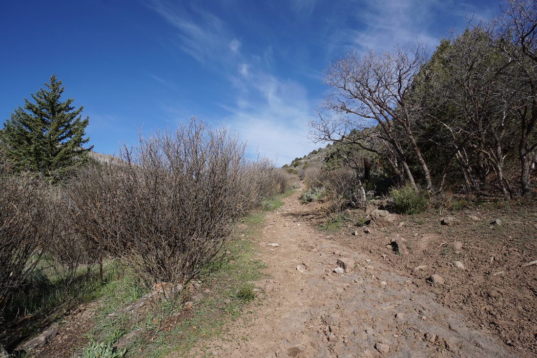
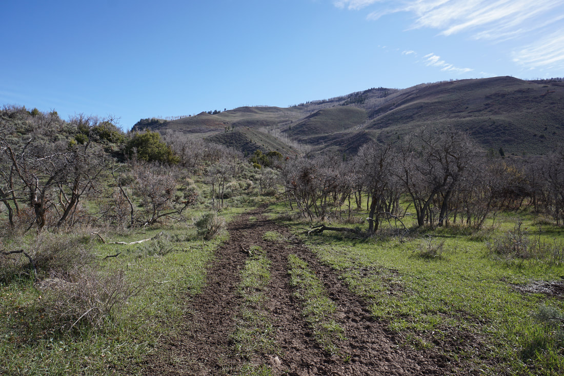
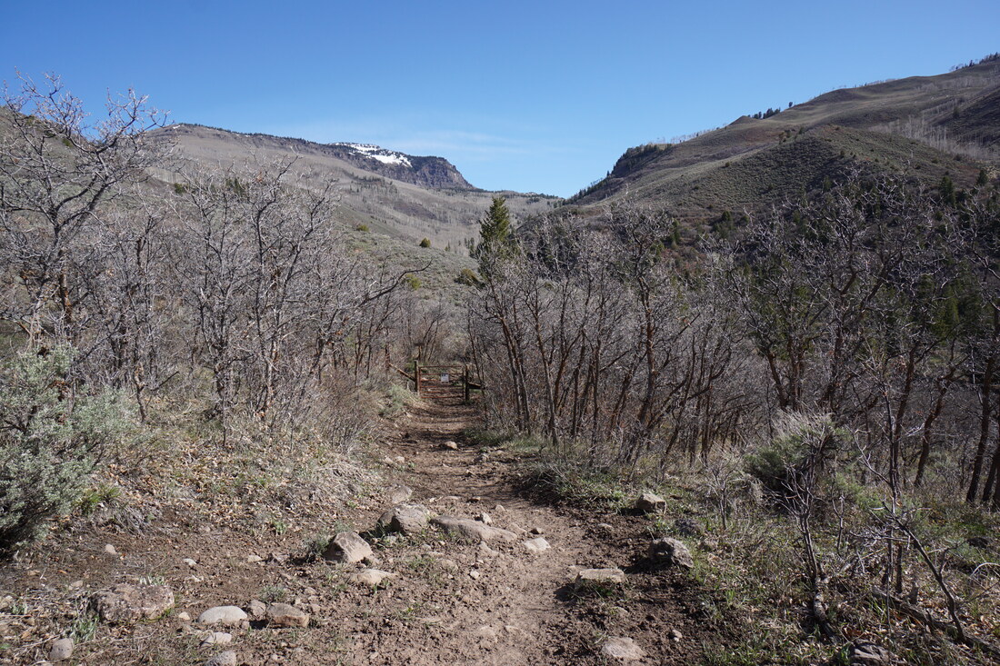
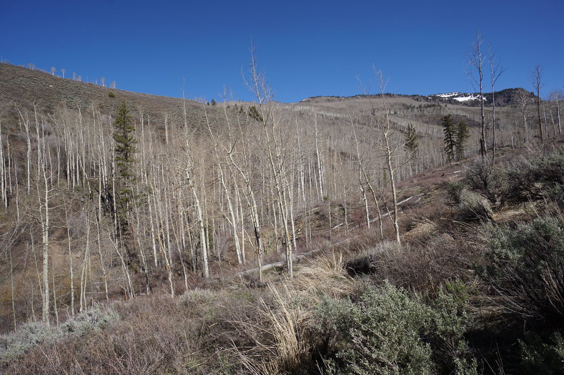
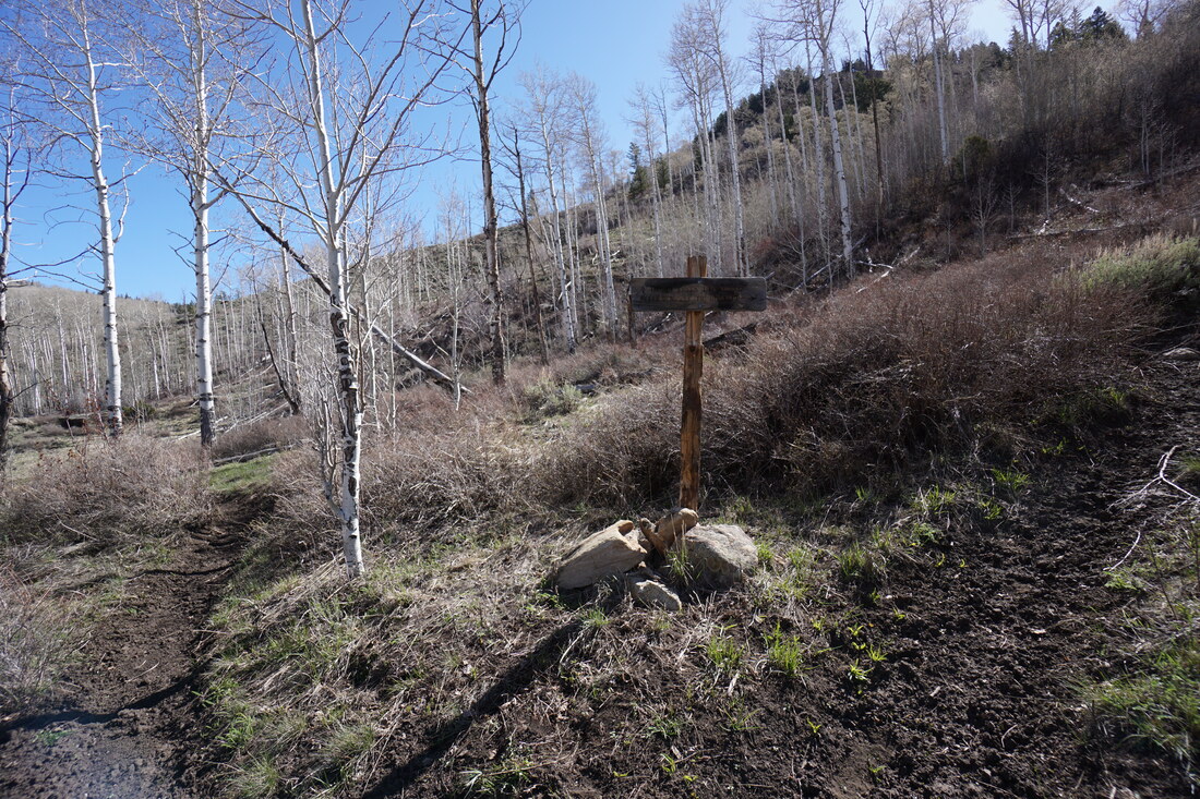
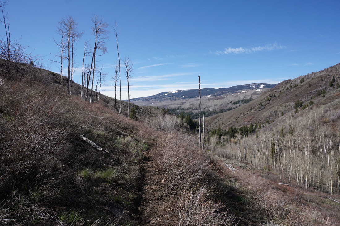
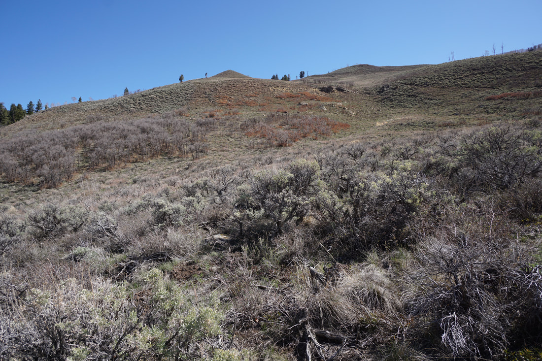
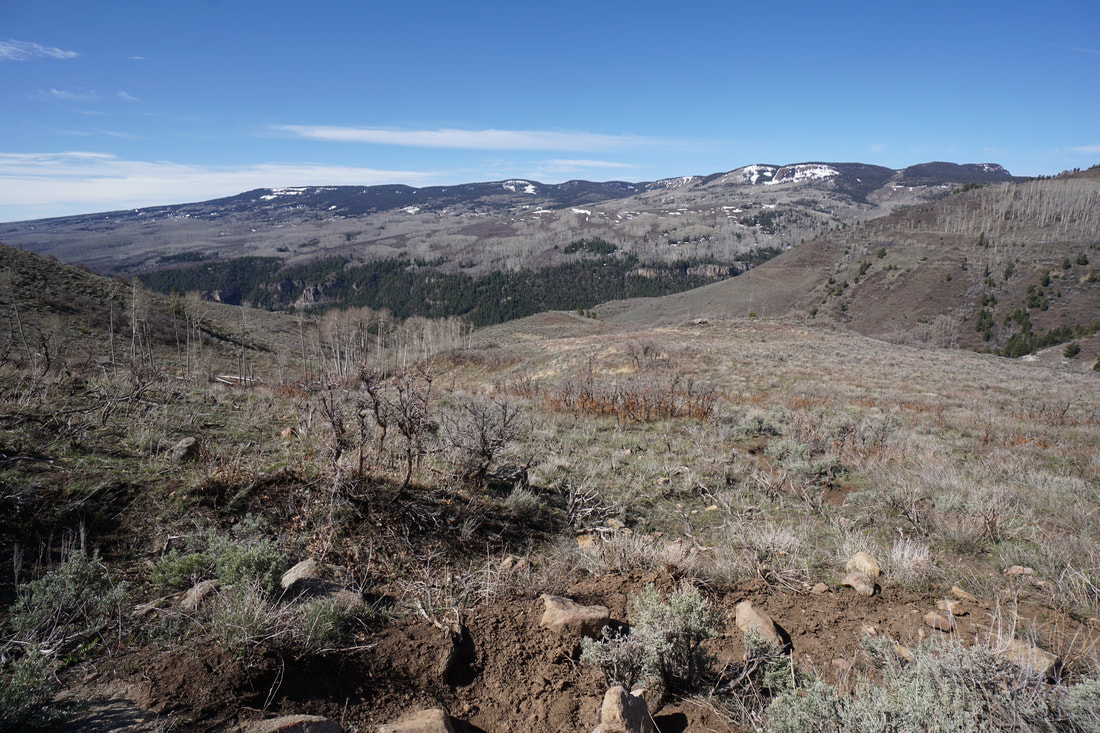
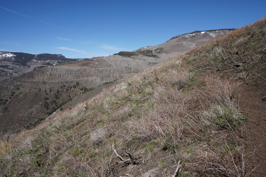
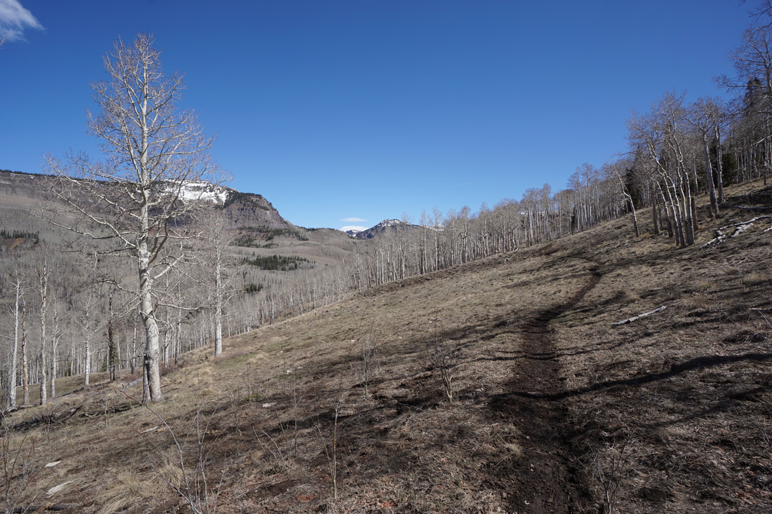
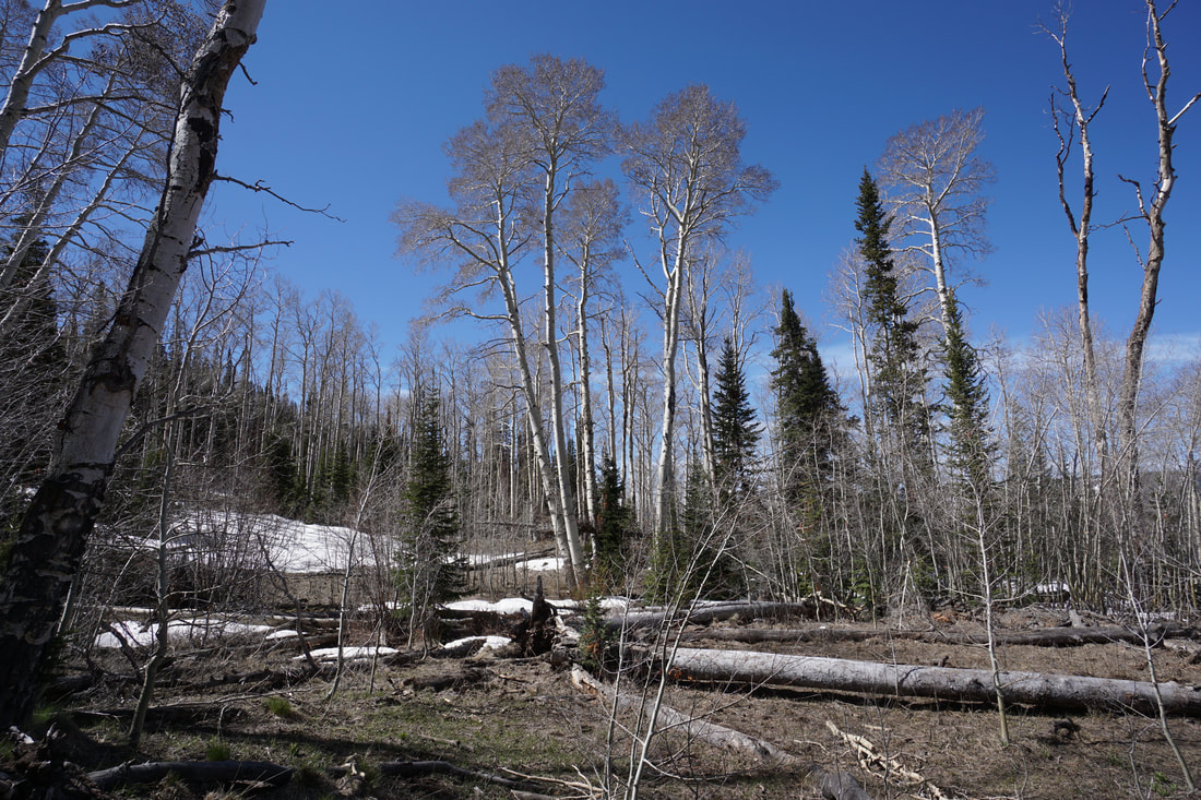
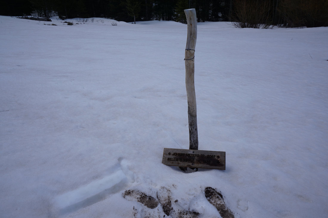
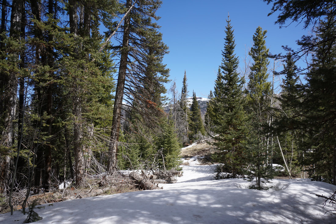
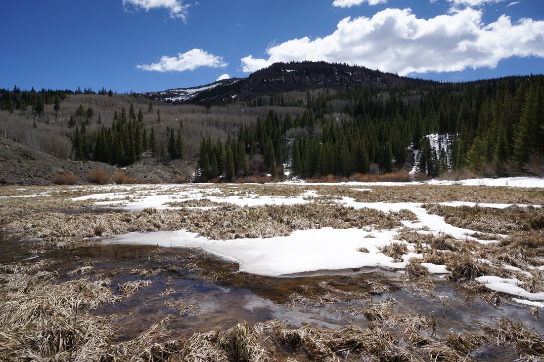
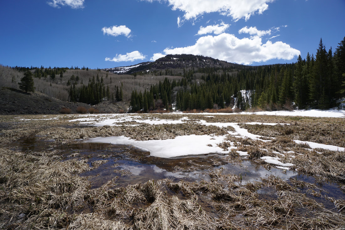
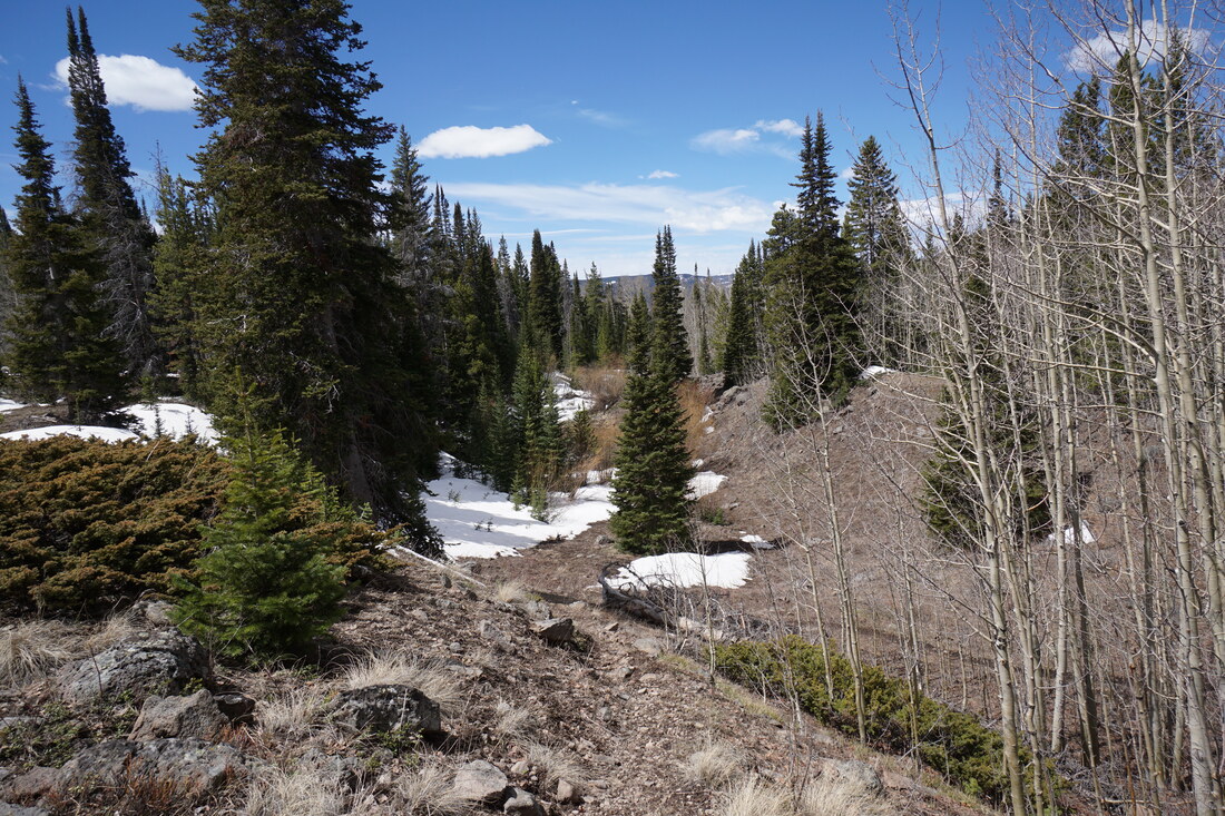
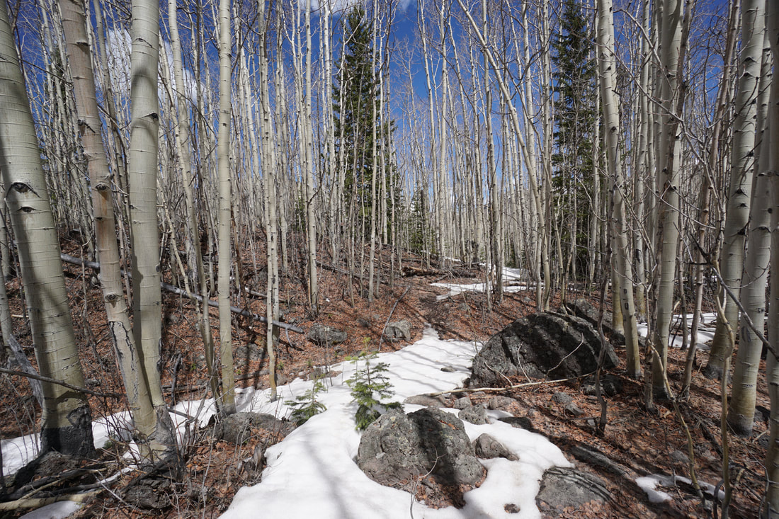
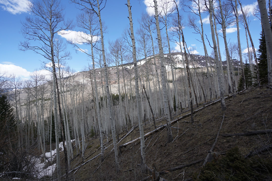
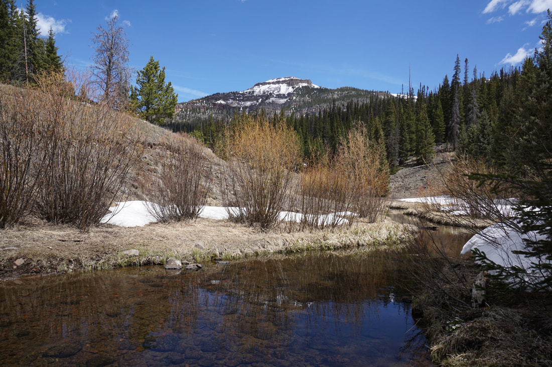
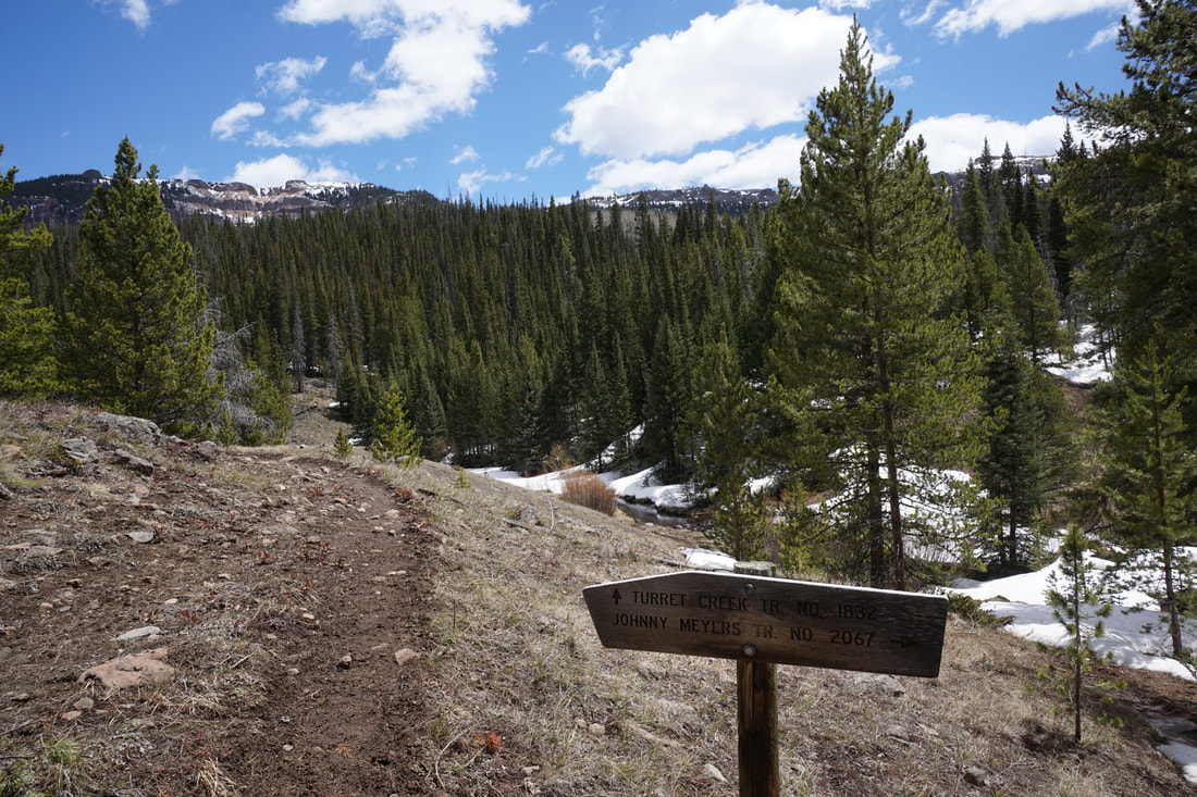
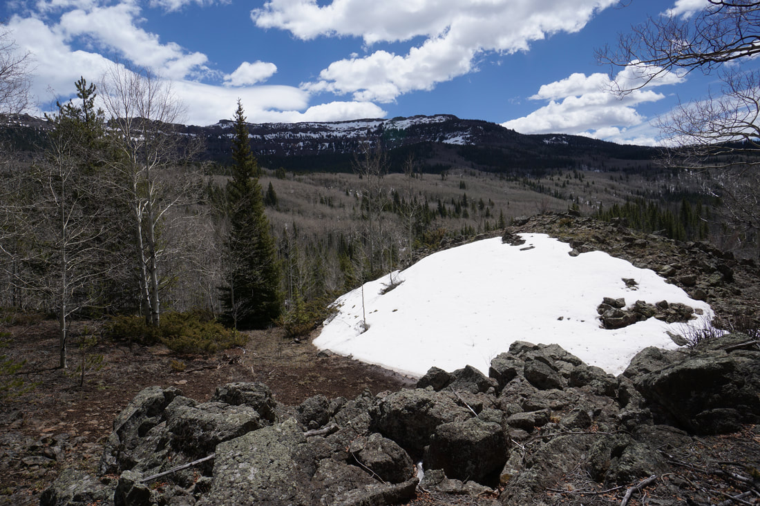
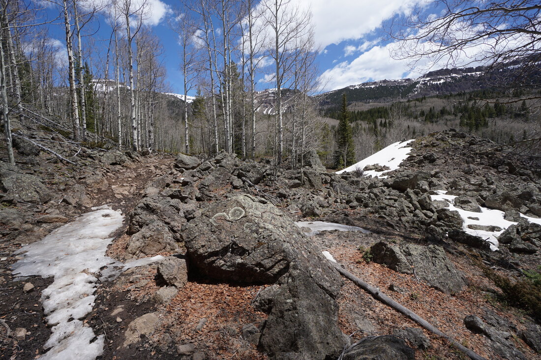
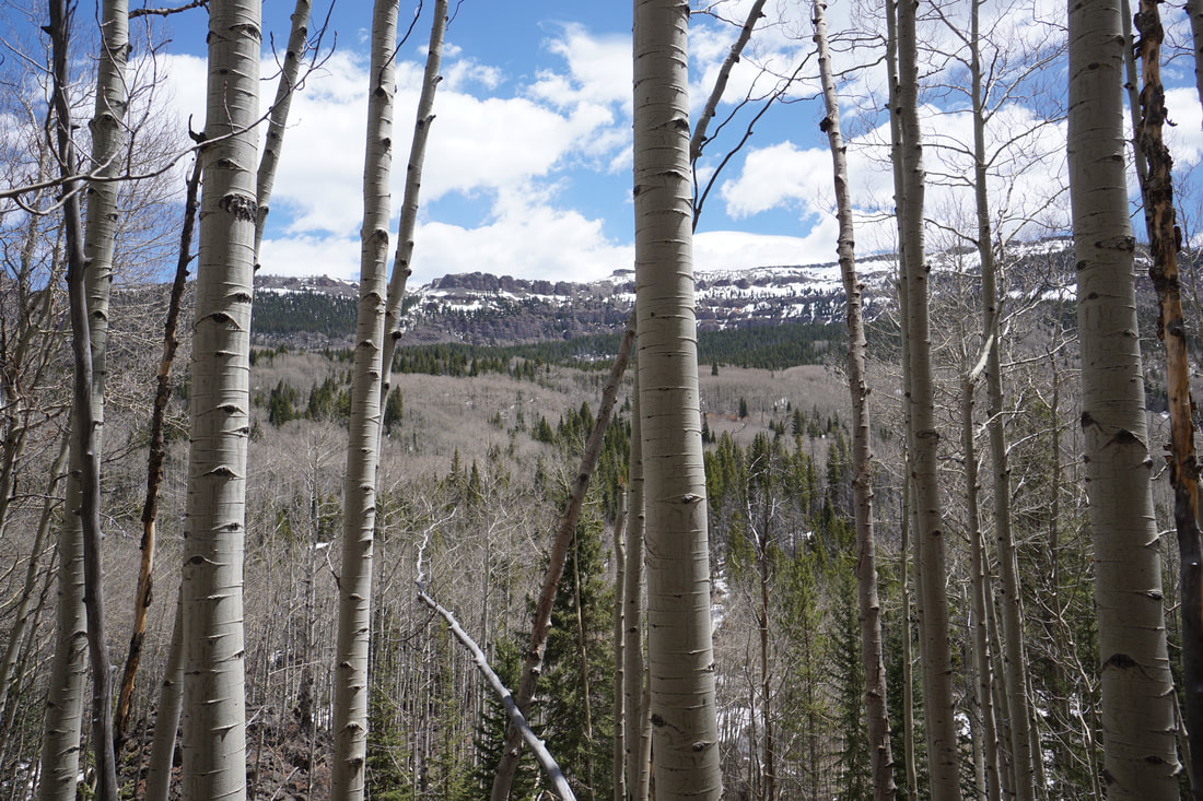
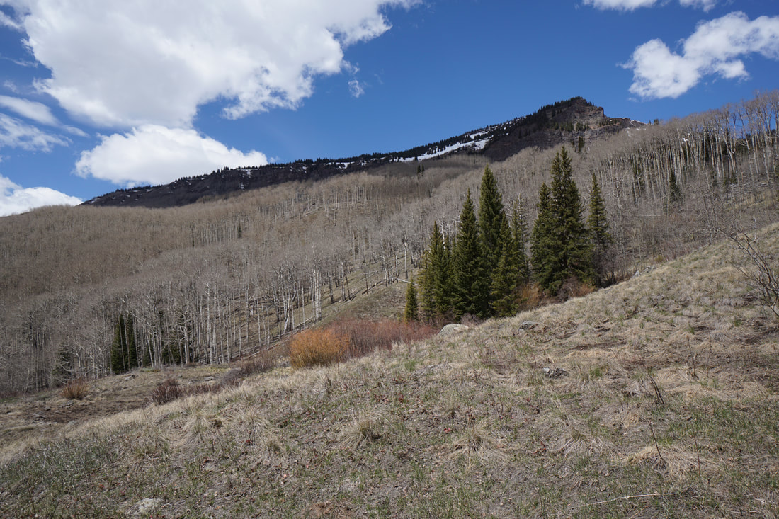
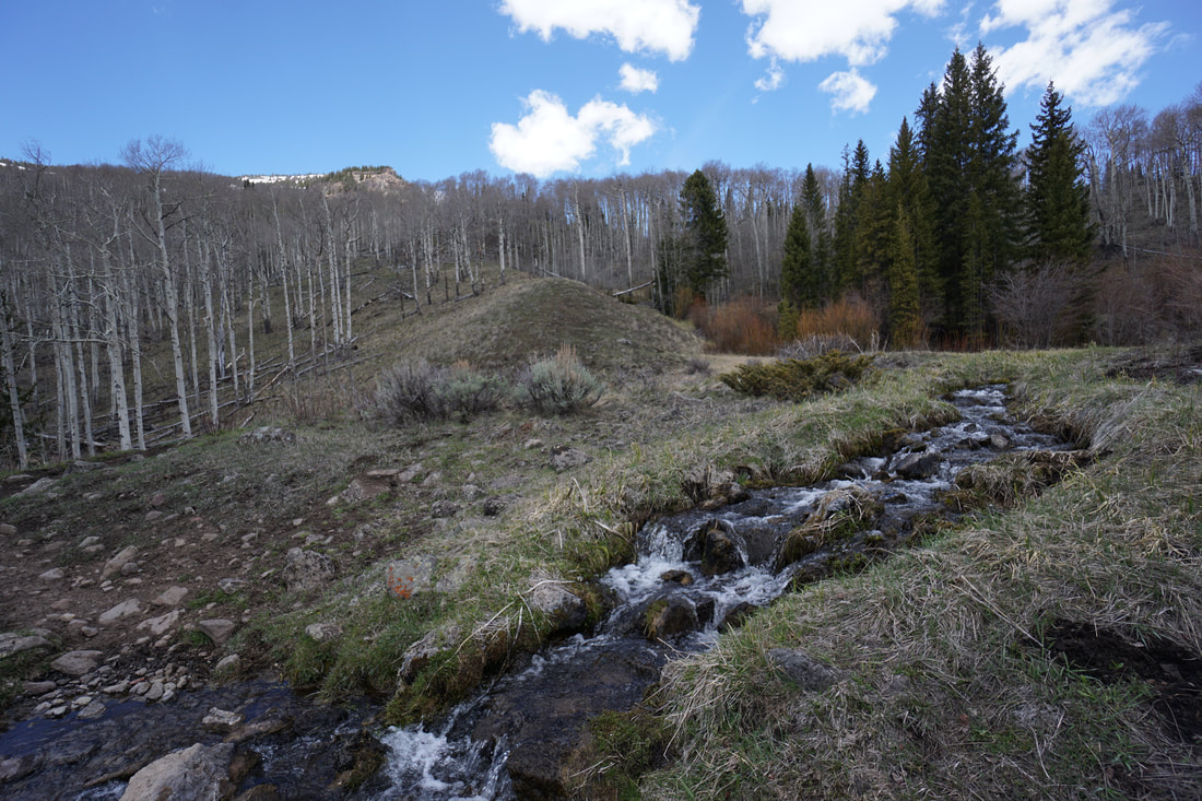
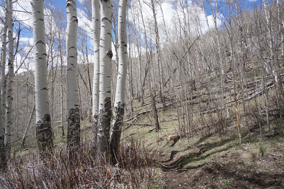
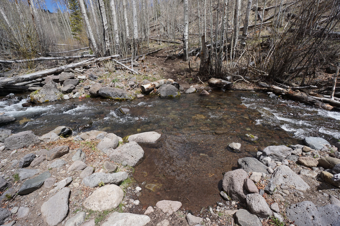
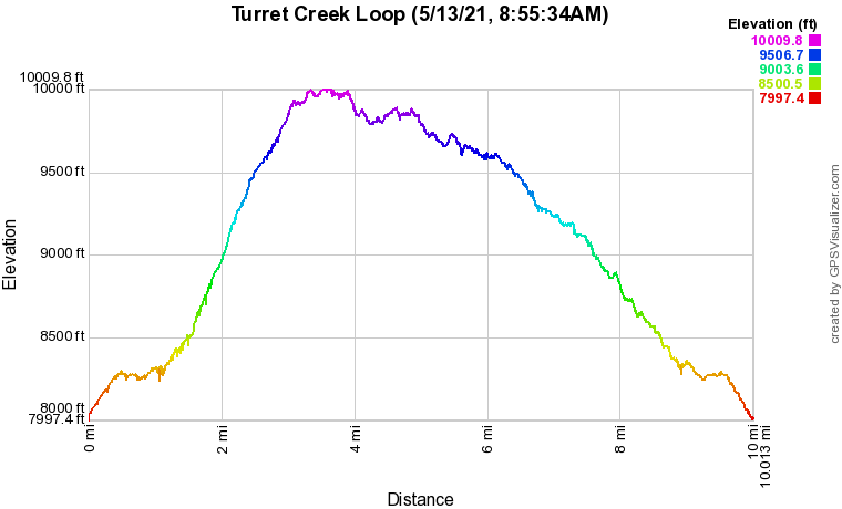
Sweetwater Lake is a beautiful spot, often overlooked by hikers. The lake serves as a good access point to the southern Flat Tops. From the Hilltop Trailhead, there are many hiking options, the Turret Creek Trail provides the most direct access to the Wilderness Area. As you follow the Turret Creek trail north, you are slowly introduced to the grandeur of the Flat Tops. This is, however, a long trail. By the time you find yourself in the thick of the Flat Tops, it's time to turn back (unless you are backpacking of course...). A nice loop hike can be pieced together by turning off the Turret Creek Trail and visiting Johnny Meyers Lake, then returning to the Turret Creek Trail for the return trip. This loop allows you to explore the stone walls and flat top mountains that make this area so special. From the Hilltop Trailhead, follow the Sweetwater Trail to the west as it begins to climb, with nice views looking back to Sweetwater Lake. Soon the trail turns north to a junction with the Turret Creek Trail. A few minutes later the Shingle Peak Trail branches off to the left. Stay straight through a gate and across an open area with nice views to the east. The trail begins to descend heading towards an unnamed flat top peak soon reaching Turret Creek. The trail continues north following the creek for just a few minutes of hiking before reaching the junction with Nellie's Trail. At this point, the loop begins. Turn right onto the Nellie's trail as it begins to climb up the hillside. The aspen groves in this area are tremendous and highlighted by the views on this portion of the trail. For the next mile and a half, the trail gets steeper and the views get grander. Continue climbing across open hillsides and through groves of aspen and pine until you reach the Junction with the Johnny Meyers Trail, turn left (north). The trail levels off a bit and keeps to the woods for much of the next half mile. Once you enter the Flat Tops Wilderness Area, be on the lookout for Johnny Meyers Lake. The lake is off to the right of the trail but is easy enough to find. The lake is mostly dry, a lake of the past. The backdrop of the lake is classic Flat Tops, aspen groves and a flat rocky peak make this a great spot for a long relaxing break. Just west of the lake, look for a trail descending back to the Johnny Meyers Trail. Continue north through thick aspens. The next 3/4 of a mile traverses thick aspen forest until you reach an open area with stunning flat top peaks and a wall in the distance. Be sure to leave the trail for a few minutes and follow a social trail to the unnamed lakes to the east of the trail. This is a wonderful spot and would make a great backpacking camp site. The views from this spot are not to be missed. Return to the Turret Creek Trail and continue on. At this point, you start your descent back down to the Turret Creek Trail. For a half mile, head down through even more aspen forest to a crossing of Turret Creek. The view north from the creek is beautiful and you'll be tempted to leave the modern world behind and head deeper into the Flat Tops. Fight off the urge and climb the hill on the far side of the creek to the Turret Creek Trail junction. The return trip is as beautiful as the rest of the hike, be sure to look behind you from time to time for amazing views. The hike down valley crosses more aspen groves, showcases cascading waterfalls, and crosses Turret Creek again before returning to the start of the loop. Ascend the Turret Creek Trail back the way you came to the Hilltop Trailhead. The Turret Creek Trail is a long way to get a small taste of the Flat Tops. That being said, this is a beautiful and seldom visited area. Don't overlook it. With easy access and and incredible landscape, this area deserves more attention. |
|