|
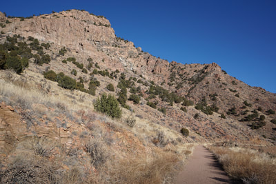
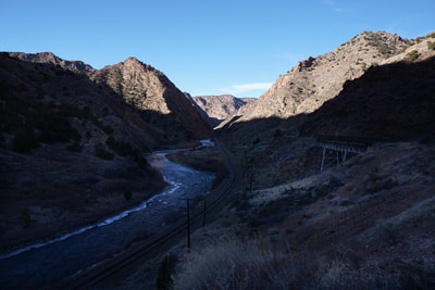
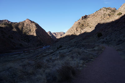
The Tunnel Drive Trail is a favorite fitness trail for Cañon City locals. The trailhead is easily accessed just to the west of Cañon City's main street and the trail is easy and suitable for all types of non-motorized recreation and all skill levels. It is also extremely scenic and one of the best ways to experience the depths of the Royal Gorge from below.
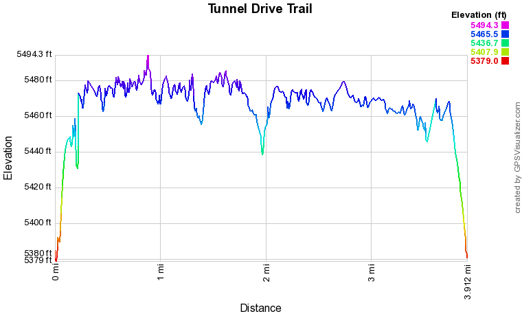
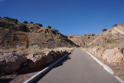
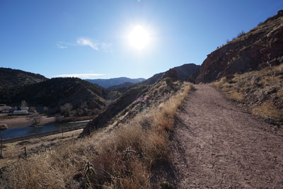
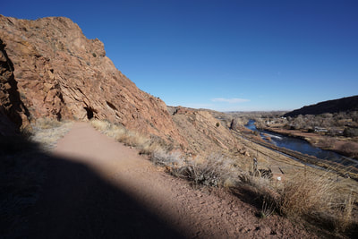
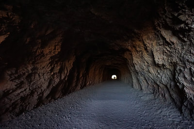
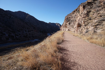
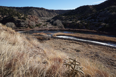
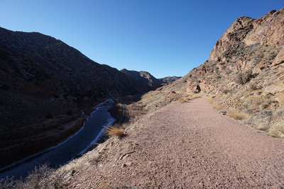
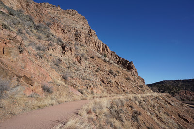
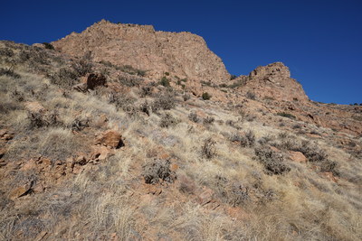
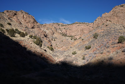
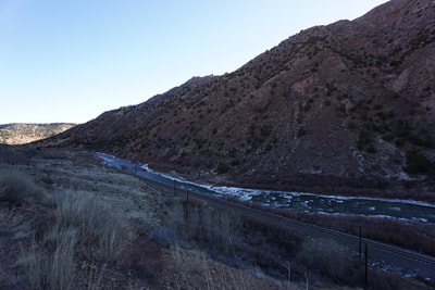
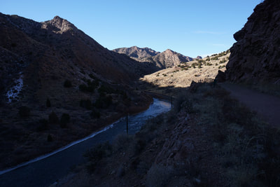
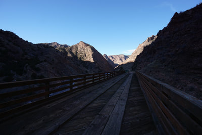
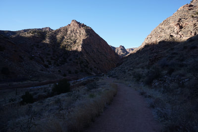
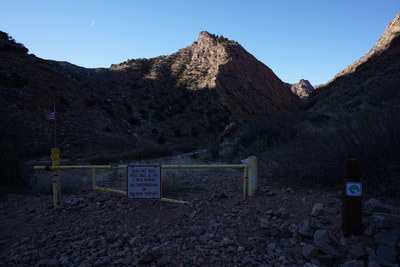
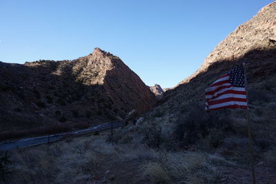
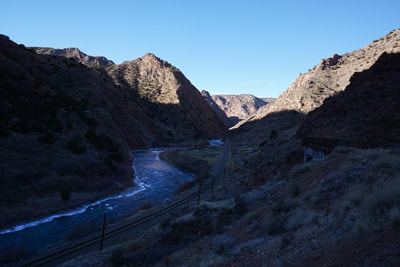
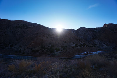
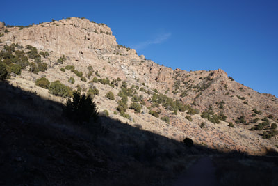
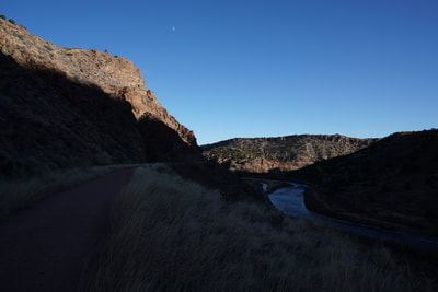
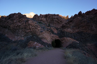
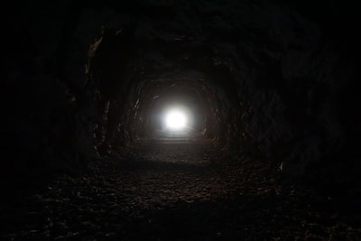
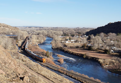
The trail begins by climbing up a short but steep section of paved trail. When the trail levels out, you hike through a series of 3 tunnels blasted into the canyon wall. The last tunnel is rather long and if you're not claustrophobic it provides an exciting start to the hike. After the tunnels, the trail weaves through the canyon as it follows the Arkansas River and the Royal Gorge Railway below. There are a number of scenic side canyons with seasonal waterfalls and various wooden bridges to cross along the way. As you get deeper into the canyon the walls get taller and the jagged canyon peaks in the distance get even more spectacular. Just when you think the canyon is getting really interesting, as it narrows, the trail abruptly ends at a gate at the 2 mile mark. It looks like some people have continued to scramble through the canyon past the gate but it is not allowed and not recommended as safety is surely an issue. The return follows the same path but provides a different perspective as you retrace your steps and exit the canyon. This is an exciting trail and a great compliment to the trails that explore the canyon rim high above. |
- HOME
- ABOUT
-
HIKES BY REGION
-
NATIONAL PARK HIKES
- BENT'S OLD FORT NATIONAL HISTORIC SITE
- BLACK CANYON OF THE GUNNISON NATIONAL PARK
- COLORADO NATIONAL MONUMENT
- CURECANTI NATIONAL RECREATION AREA
- DINOSAUR NATIONAL MONUMENT
- FLORISSANT FOSSIL BEDS NATIONAL MONUMENT
- MESA VERDE NATIONAL PARK
- ROCKY MOUNTAIN NATIONAL PARK
- GREAT SAND DUNES NATIONAL PARK
- HOVENWEEP NATIONAL MONUMENT
- SAND CREEK MASSACRE NATIONAL HISTORIC SITE
- YUCCA HOUSE NATIONAL MONUMENT
- HIKES BY CATEGORY
- NEWS
- WEBCAMS
- $UPPORT GHC
- INTERACTIVE MAP
Tunnel Drive Trail
City of Cañon City
Date Hiked: December 27, 2017
Distance: 4 mi (RT)
Elevation Gain: 240 ft
Elevation Min.Max: 5,379 to 5,494 ft
Trailhead Lat/Long: 38º 26' 01" N;105º 15' 53" W
Managing Agency: City of Cañon City
Fee: None

