|
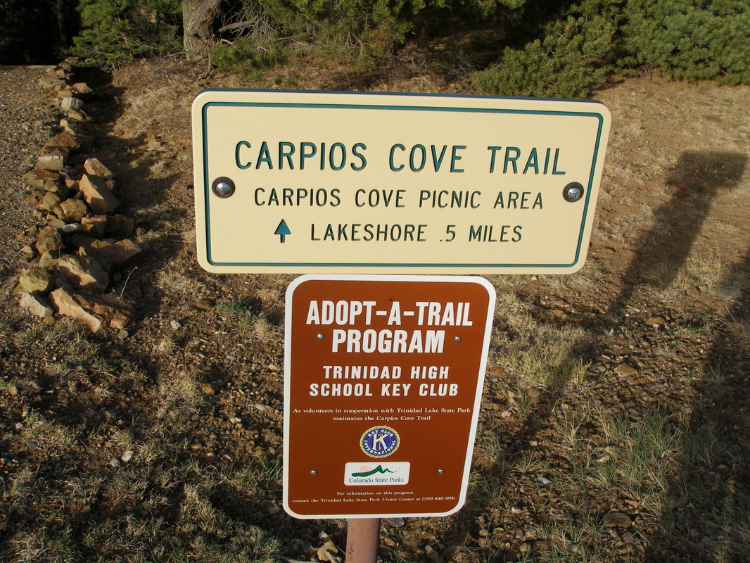
Directions: From Trinidad, head west for 3 miles on Hwy 12 to the park entrance. Turn left to the Carpios Ridge Area towards the Campground. Look for the trailhead on the right.
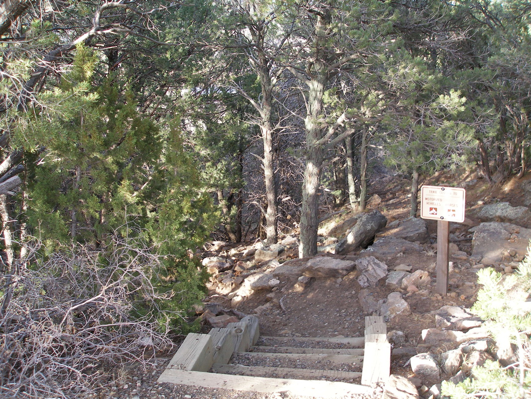
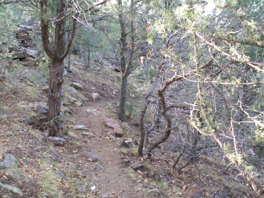
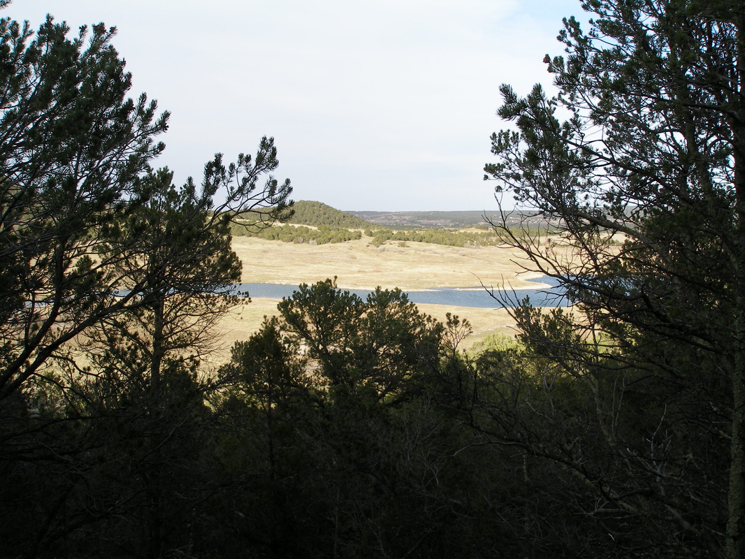
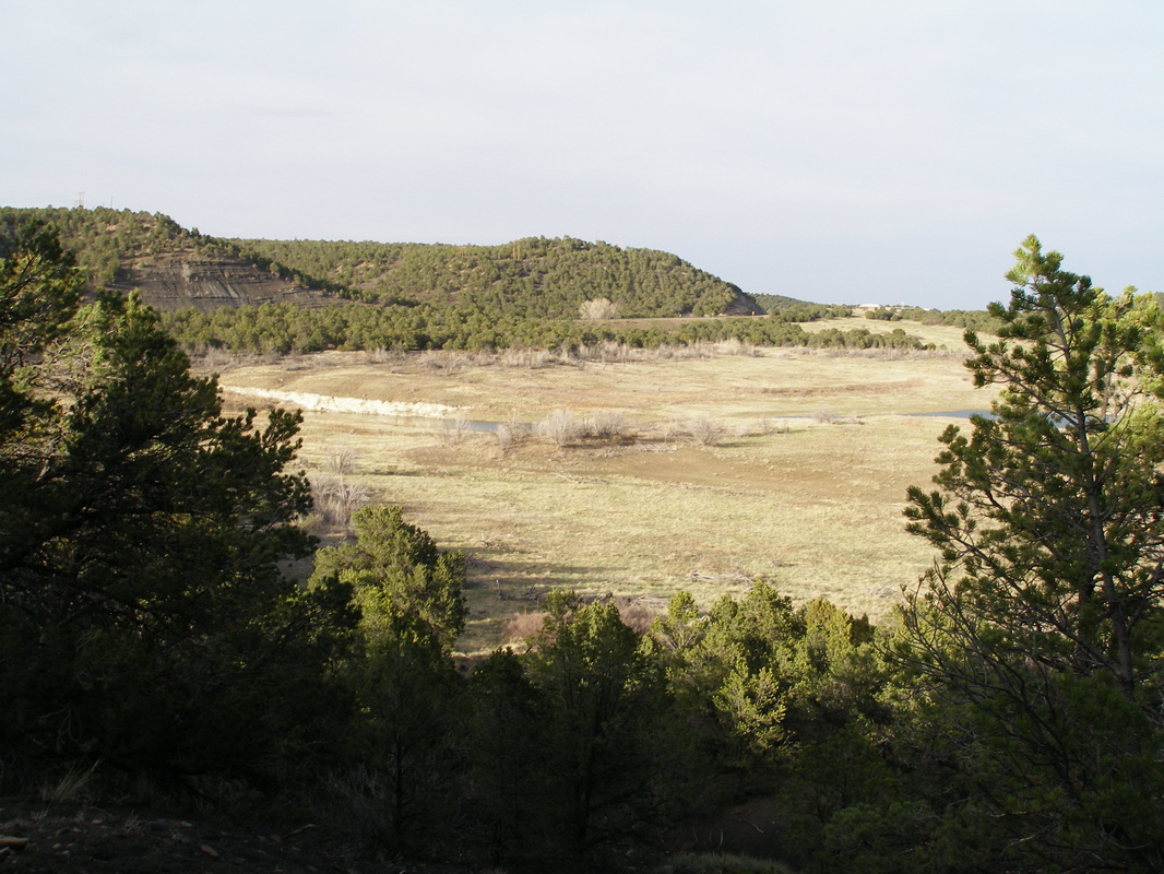
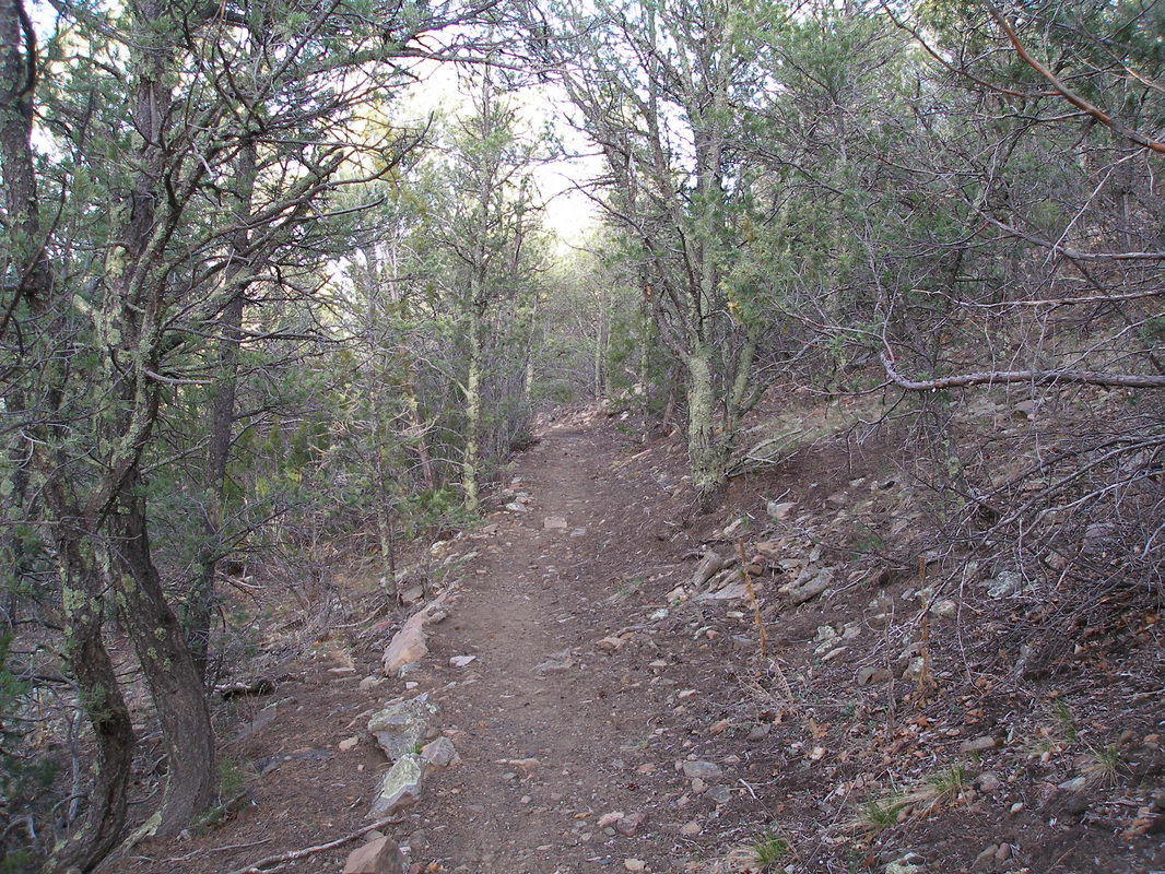
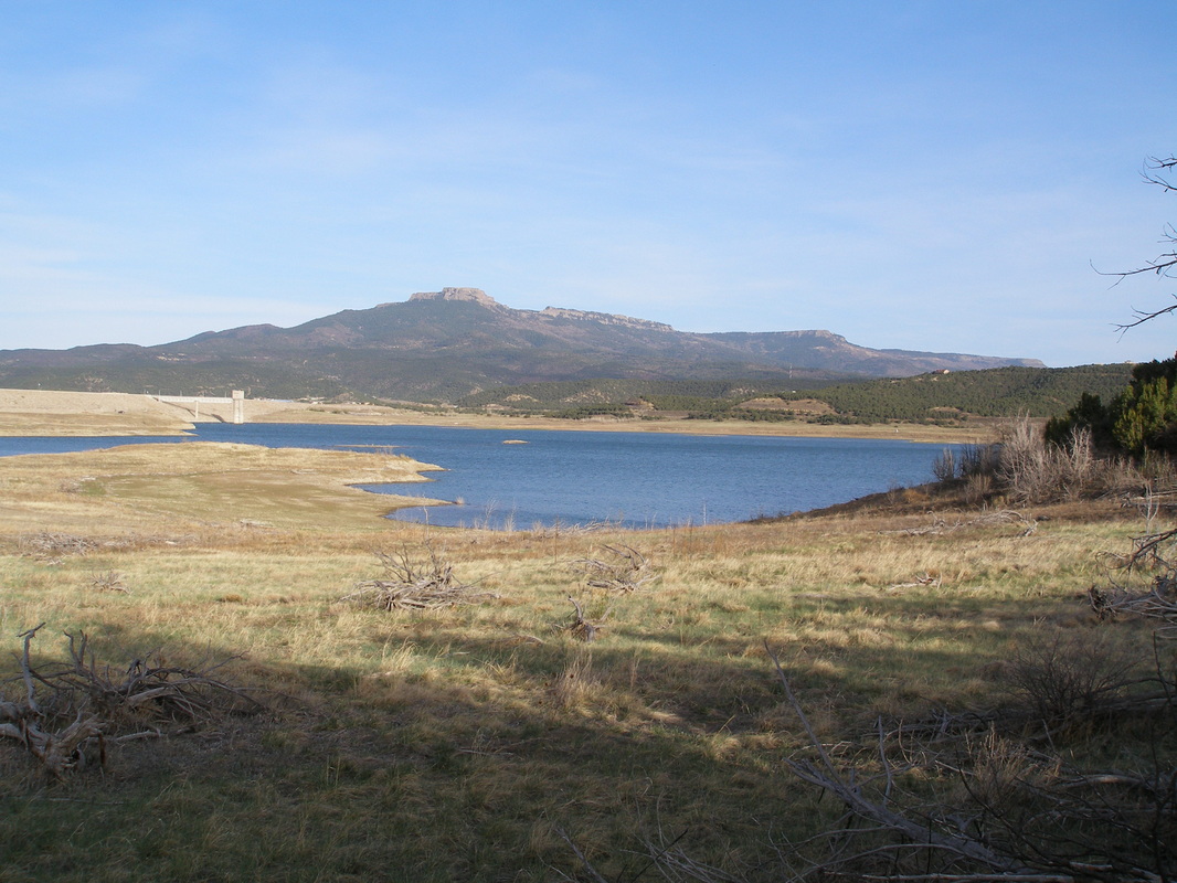
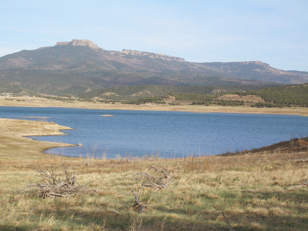
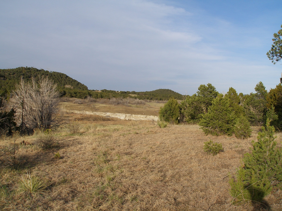
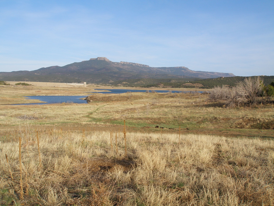
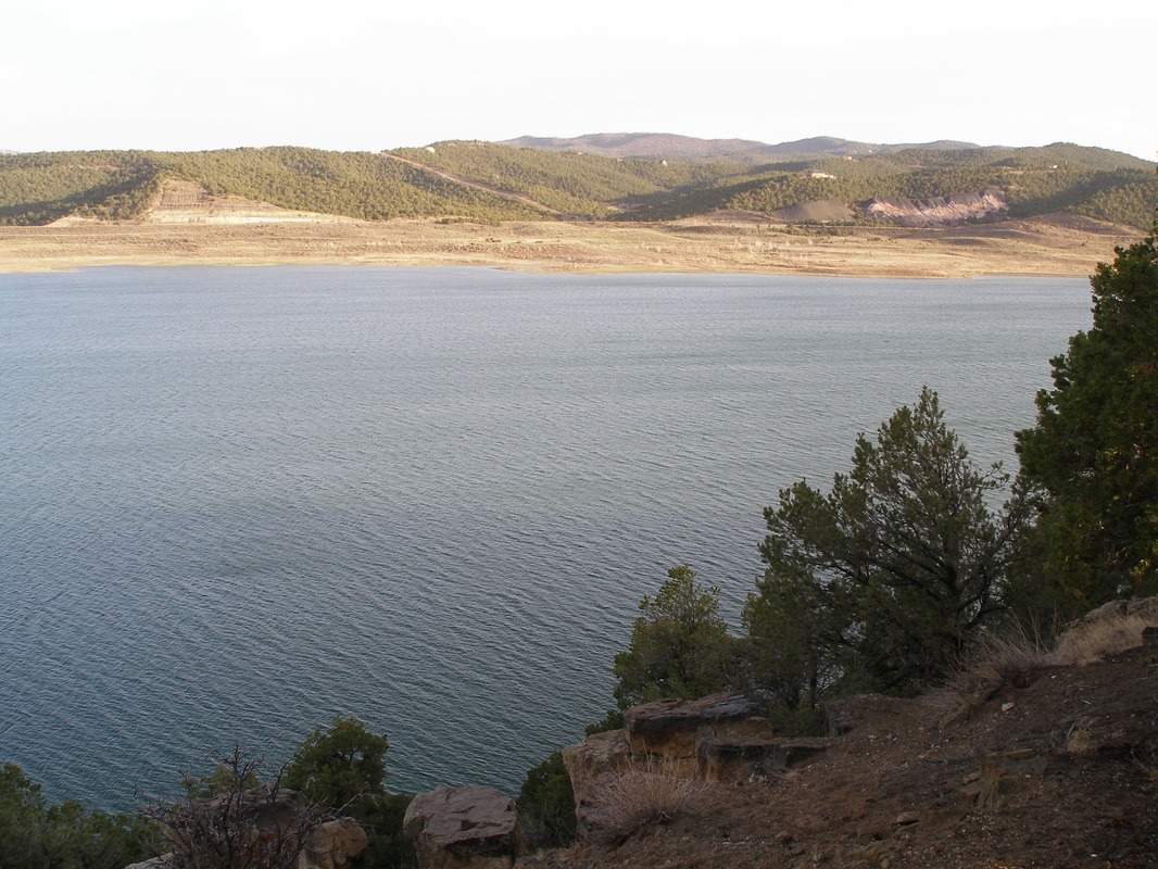
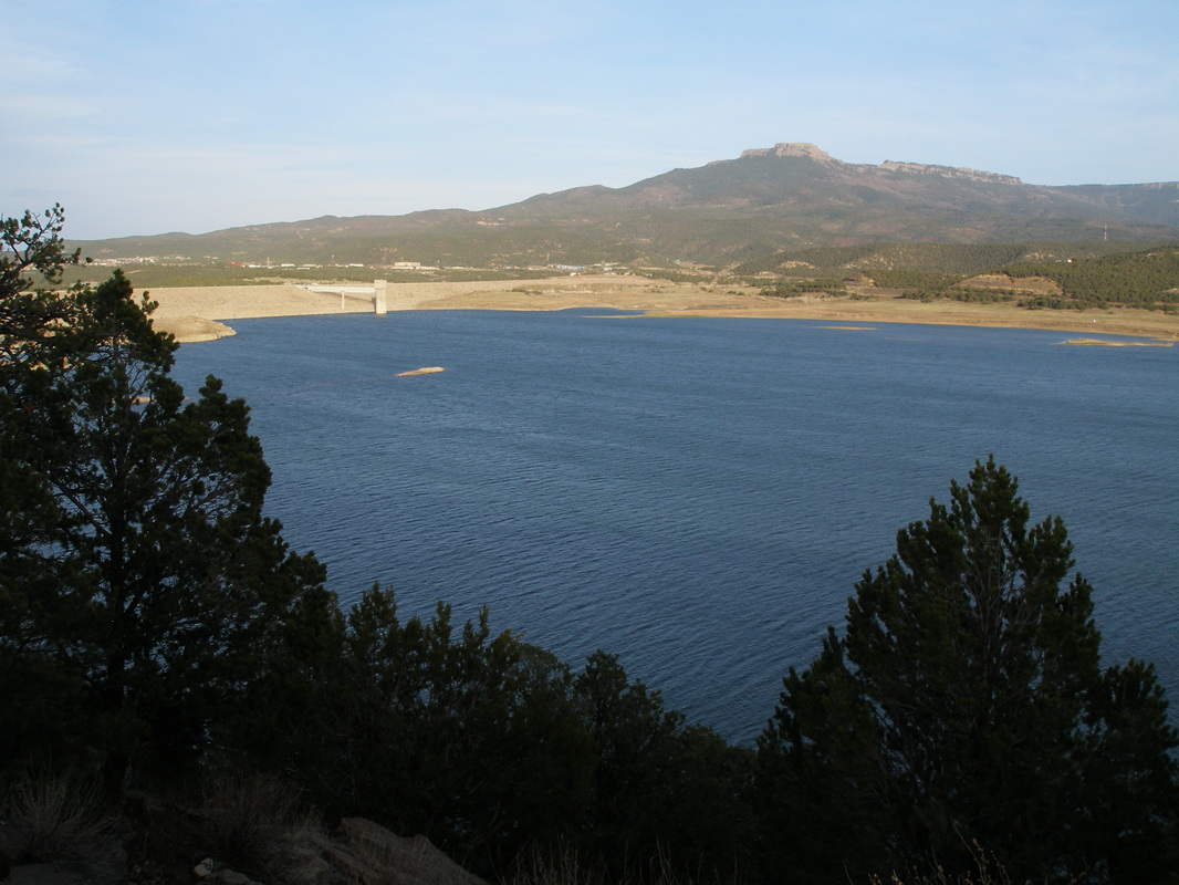
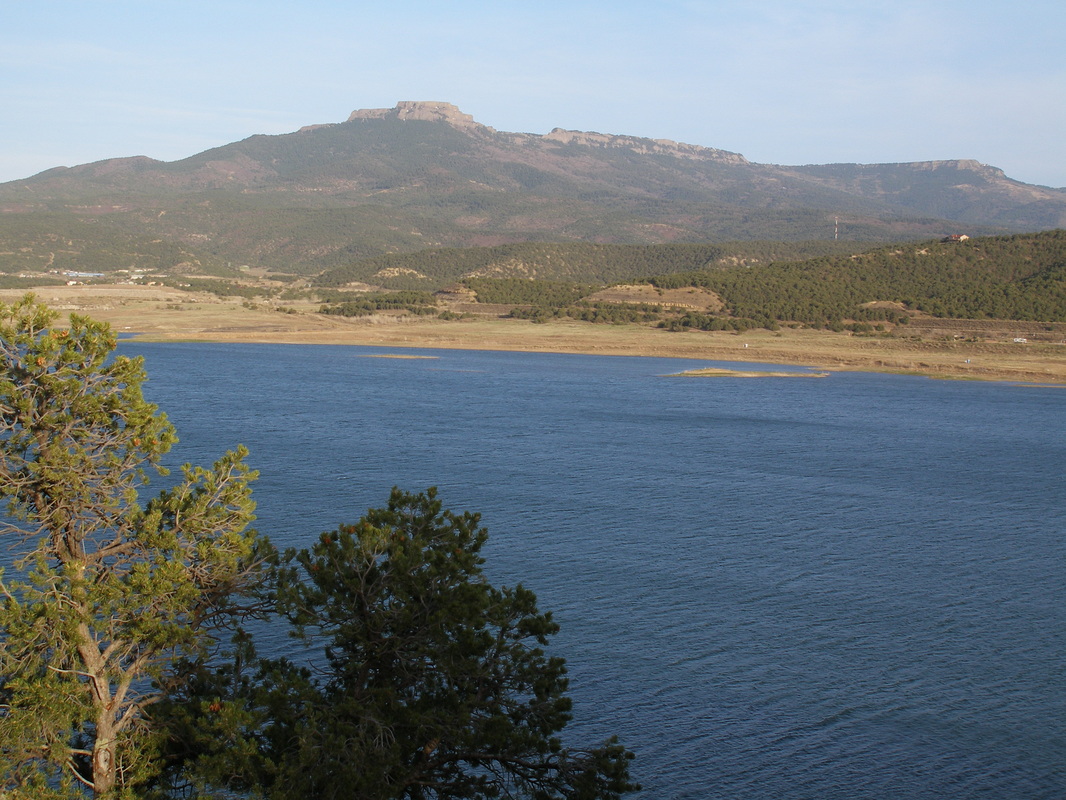
Trinidad Lake State Park, just north of the New Mexico Border is designed around Trinidad Lake, where the Purgatorie River valley flows down from the Sangre De Cristo Mountains and meets the eastern plains. The park contains many miles of trails as well as historical resources such as the Santa Fe National Historic Trail. The Carpios Cove Trail is a short, relatively easy trail that leads from the ridge down to the shore of Trinidad Lake. The trail weaves in and out of pinon and juniper forests and provides stunning views of Fishers Peak rising to the east of Trinidad on the Raton Mesa. When the trail leads you back up Carpios Ridge, you can continue along the paved Park View Trail to various overlooks and some Sante Fe Trail Historic Sites. |
|
- HOME
- ABOUT
-
HIKES BY REGION
-
NATIONAL PARK HIKES
- BENT'S OLD FORT NATIONAL HISTORIC SITE
- BLACK CANYON OF THE GUNNISON NATIONAL PARK
- COLORADO NATIONAL MONUMENT
- CURECANTI NATIONAL RECREATION AREA
- DINOSAUR NATIONAL MONUMENT
- FLORISSANT FOSSIL BEDS NATIONAL MONUMENT
- MESA VERDE NATIONAL PARK
- ROCKY MOUNTAIN NATIONAL PARK
- GREAT SAND DUNES NATIONAL PARK
- HOVENWEEP NATIONAL MONUMENT
- SAND CREEK MASSACRE NATIONAL HISTORIC SITE
- YUCCA HOUSE NATIONAL MONUMENT
- HIKES BY CATEGORY
- NEWS
- WEBCAMS
- $UPPORT GHC
- INTERACTIVE MAP
Carpios Cove Trail
Trinidad Lake State Park
Date Hiked: April 2009
Distance: 1 mi (RT)
Elevation: 6,200 ft
Managing Agency: CO Division of Parks & Wildlife
Fee: Yes