|
Directions: This trail is located along the Santa Fe National Historic Trail. From La Junta, take Hwy 350 for 13 miles Southwest and turn right into the parking area.
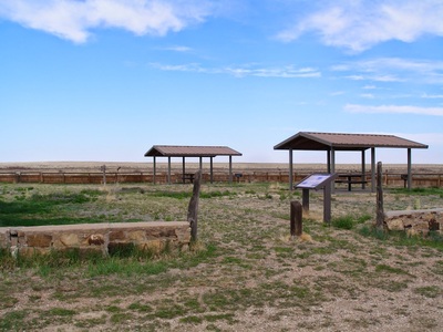
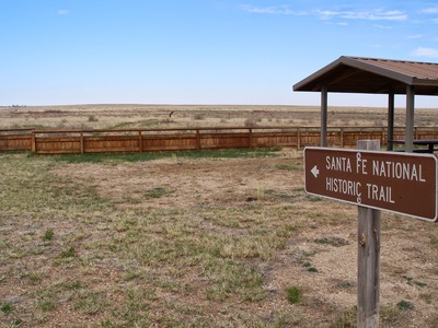
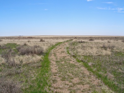
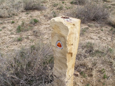
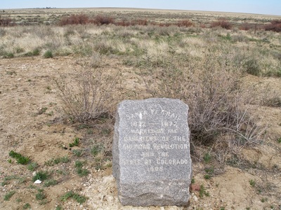
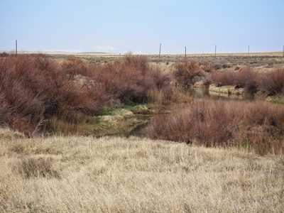
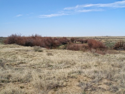
This short trail follows part of the Santa Fe National Historic Trail. Interpretive signs educate you about the desert plains as you walk down to Timpas Creek and back to the parking area. The wide open feel of the plains is evident as it is serene and peaceful. If you want to do a longer hike, you can hike along the Santa Fe Trail for 3 miles to the Sierra Vista Overlook. |
- HOME
- ABOUT
-
HIKES BY REGION
-
NATIONAL PARK HIKES
- BENT'S OLD FORT NATIONAL HISTORIC SITE
- BLACK CANYON OF THE GUNNISON NATIONAL PARK
- COLORADO NATIONAL MONUMENT
- CURECANTI NATIONAL RECREATION AREA
- DINOSAUR NATIONAL MONUMENT
- FLORISSANT FOSSIL BEDS NATIONAL MONUMENT
- MESA VERDE NATIONAL PARK
- ROCKY MOUNTAIN NATIONAL PARK
- GREAT SAND DUNES NATIONAL PARK
- HOVENWEEP NATIONAL MONUMENT
- SAND CREEK MASSACRE NATIONAL HISTORIC SITE
- YUCCA HOUSE NATIONAL MONUMENT
- HIKES BY CATEGORY
- NEWS
- WEBCAMS
- $UPPORT GHC
- INTERACTIVE MAP
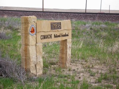
Timpas Nature Trail
Comanche National Grassland
Santa Fe National Historic Trail
Date Hiked: April 2009
Distance: .5 mi (RT)
Elevation Gain: 100ft
Managing Agency: U.S. Forest Service
Fee: None

