|
|
|
DIRECTIONS: From I-25, take exit 140 and turn right onto S. Tejon Street. Turn right onto Cheyenne Blvd for 2 miles. Turn right on Ridgeway Blvd to the parking area and the Ridgeway Trailhead.
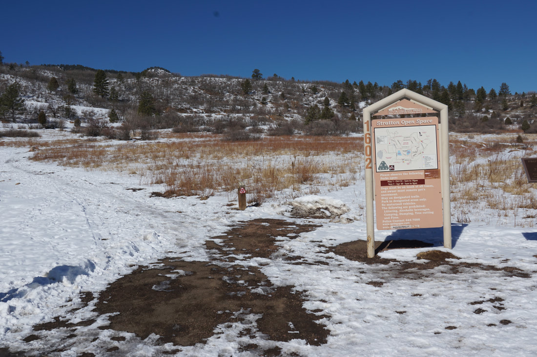
Stratton Open Space stands just east of the rock towers that form the gates of North Cheyenne Canyon Park. Stratton has an exentensive trail system offering hikes for all skill levels. Starting at the Ridgeway Trailhead you can make a nice loop for a taste of what this area has to offer.
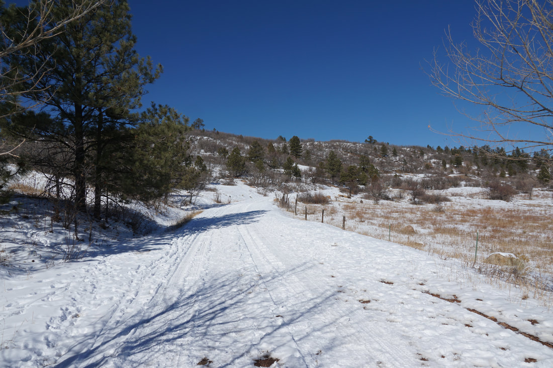
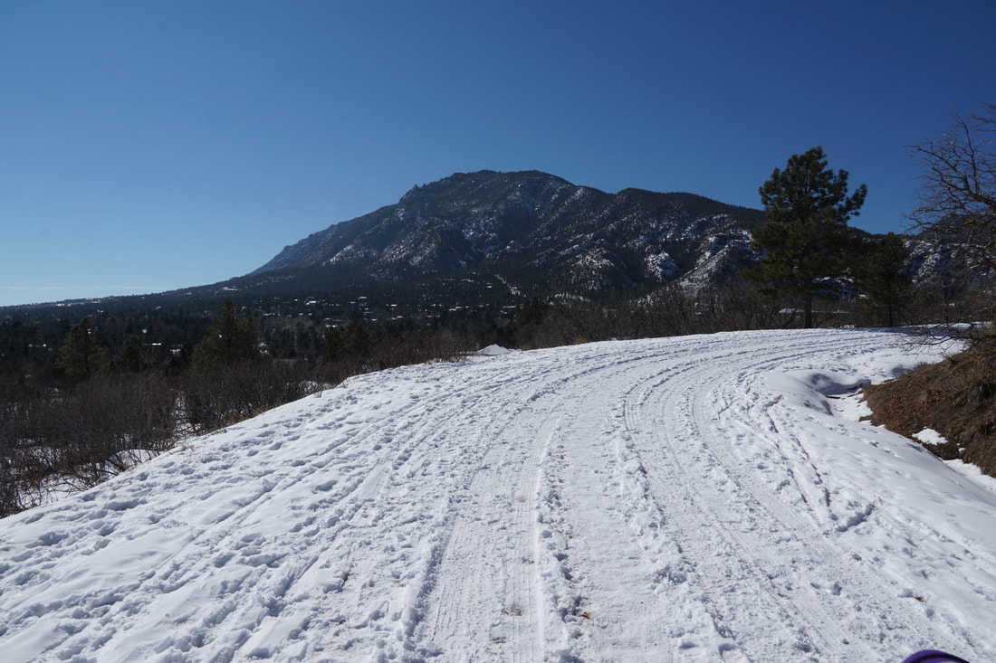
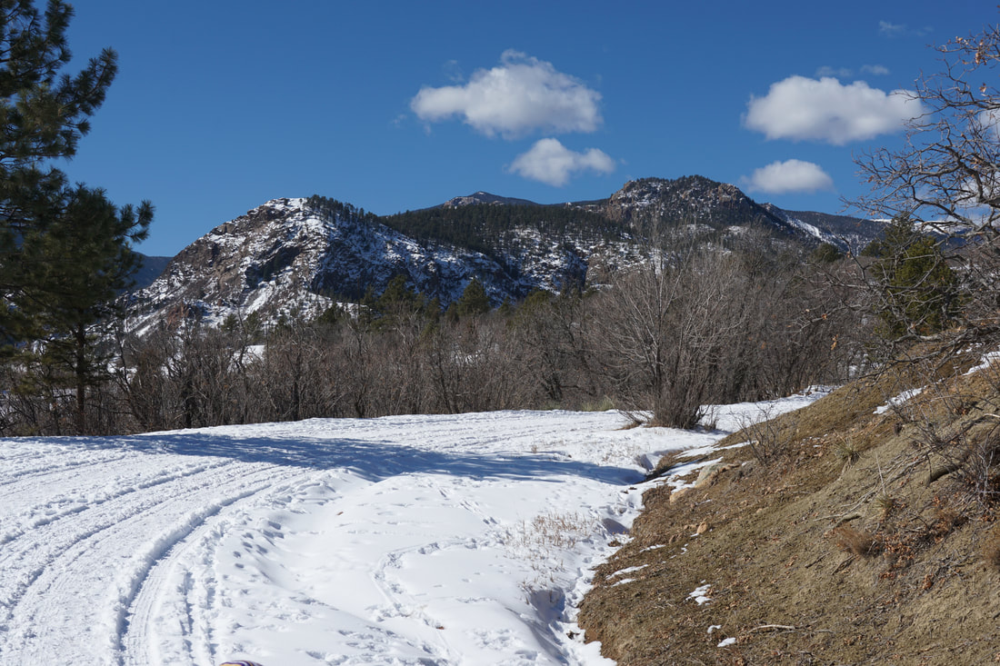
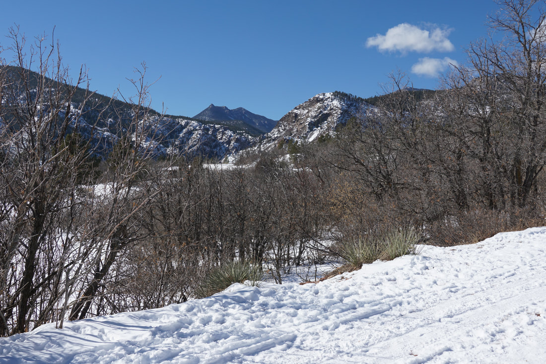
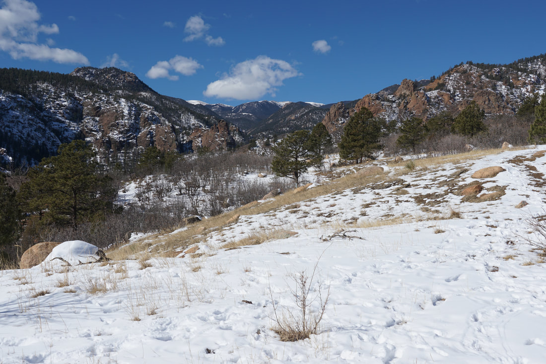
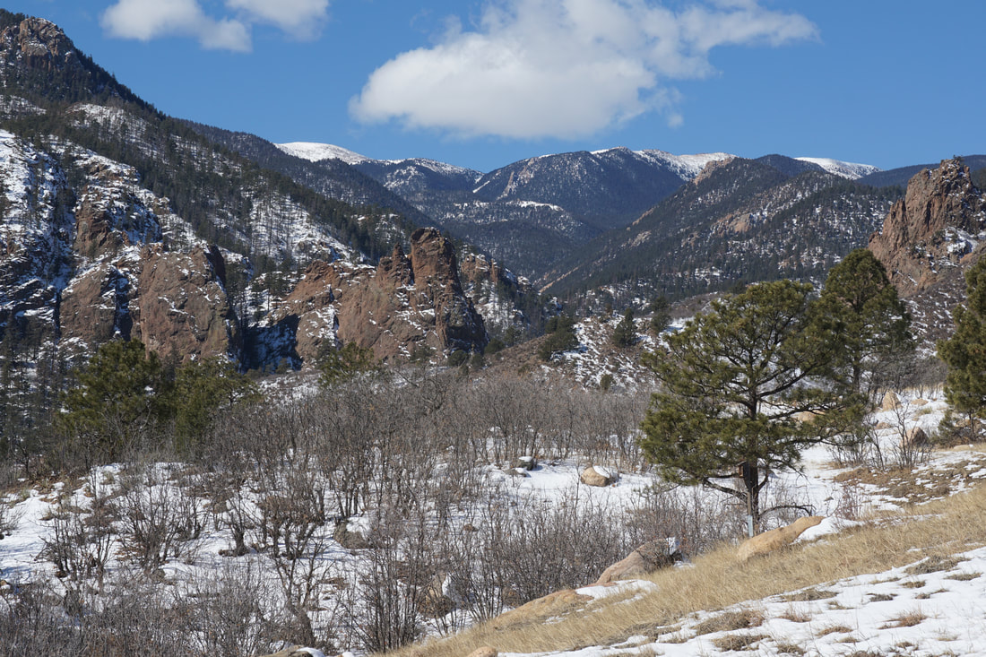
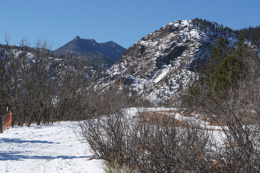
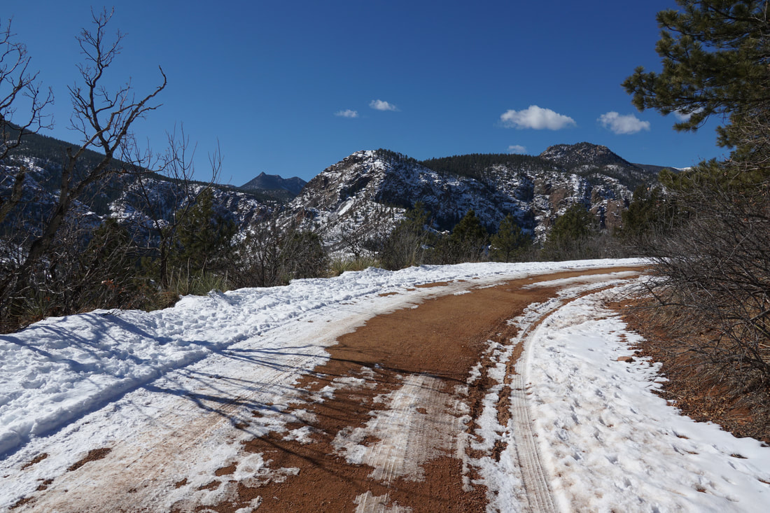
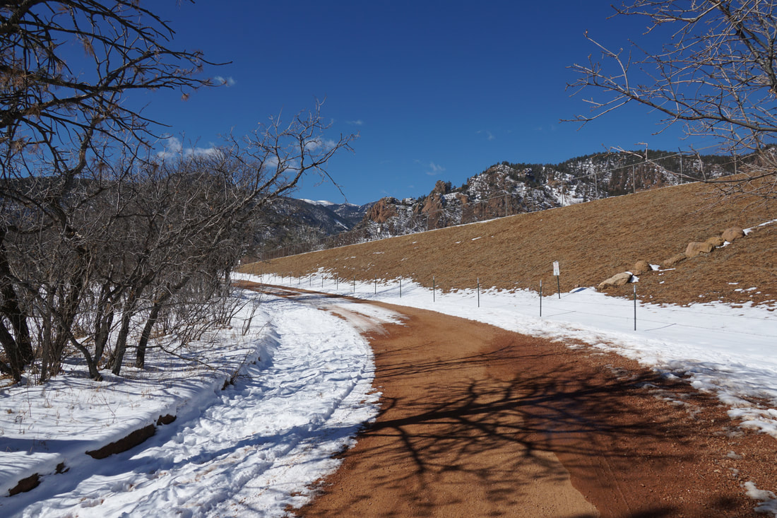
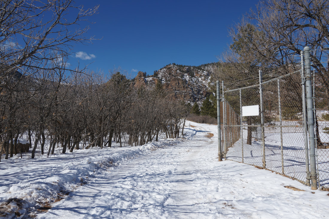
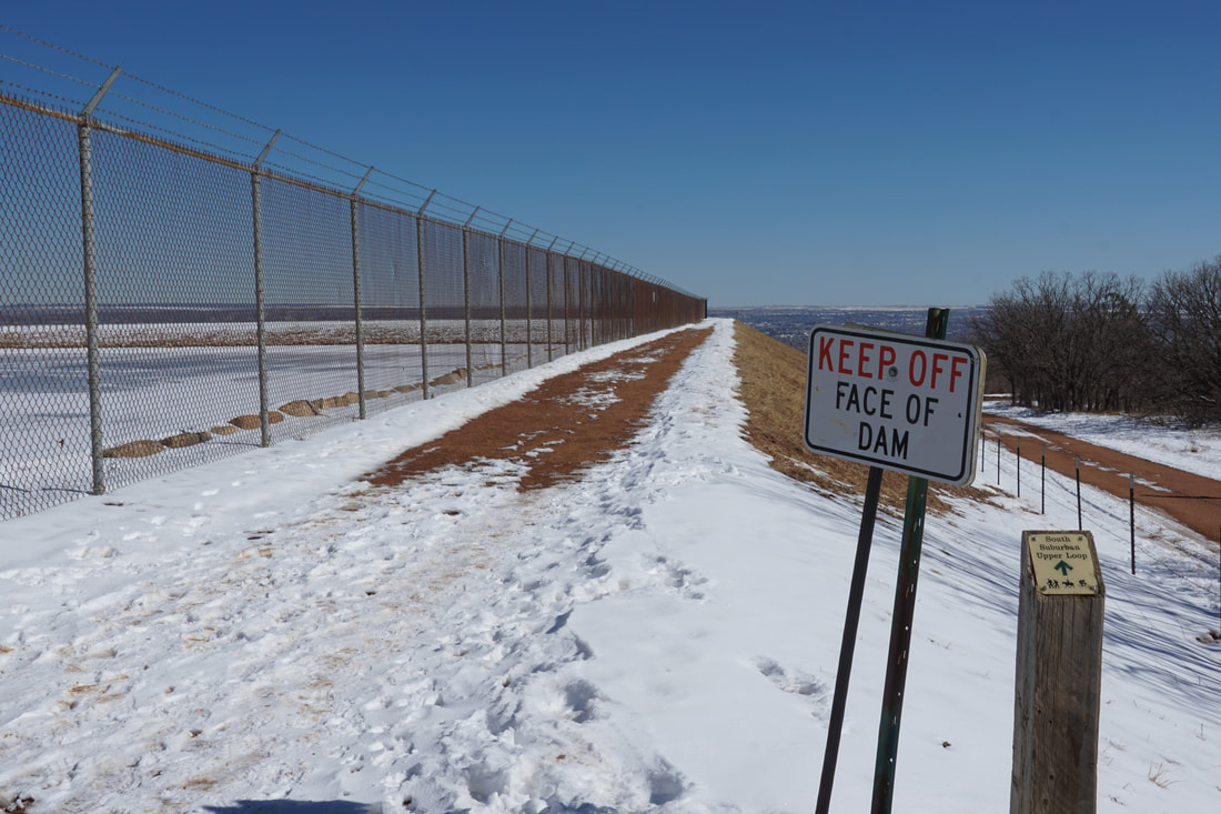
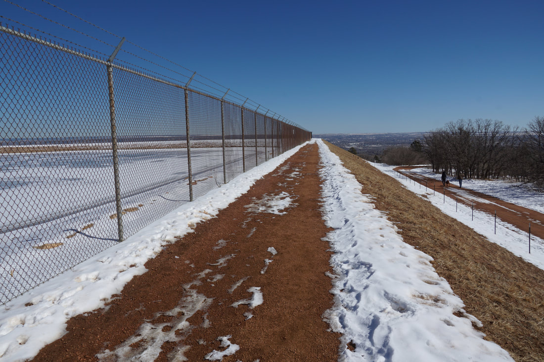
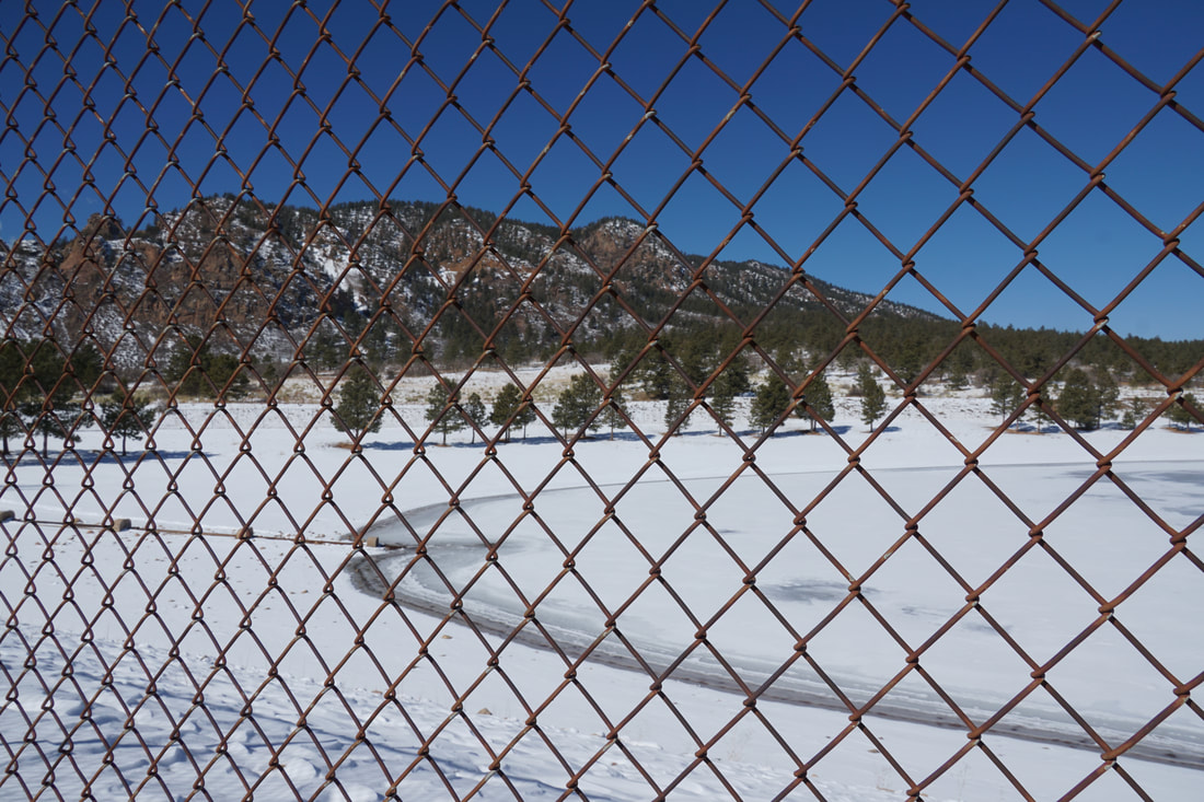
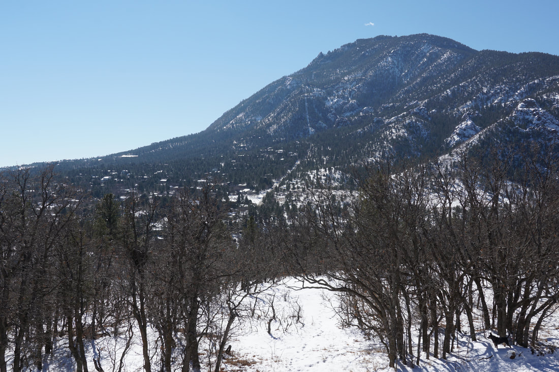
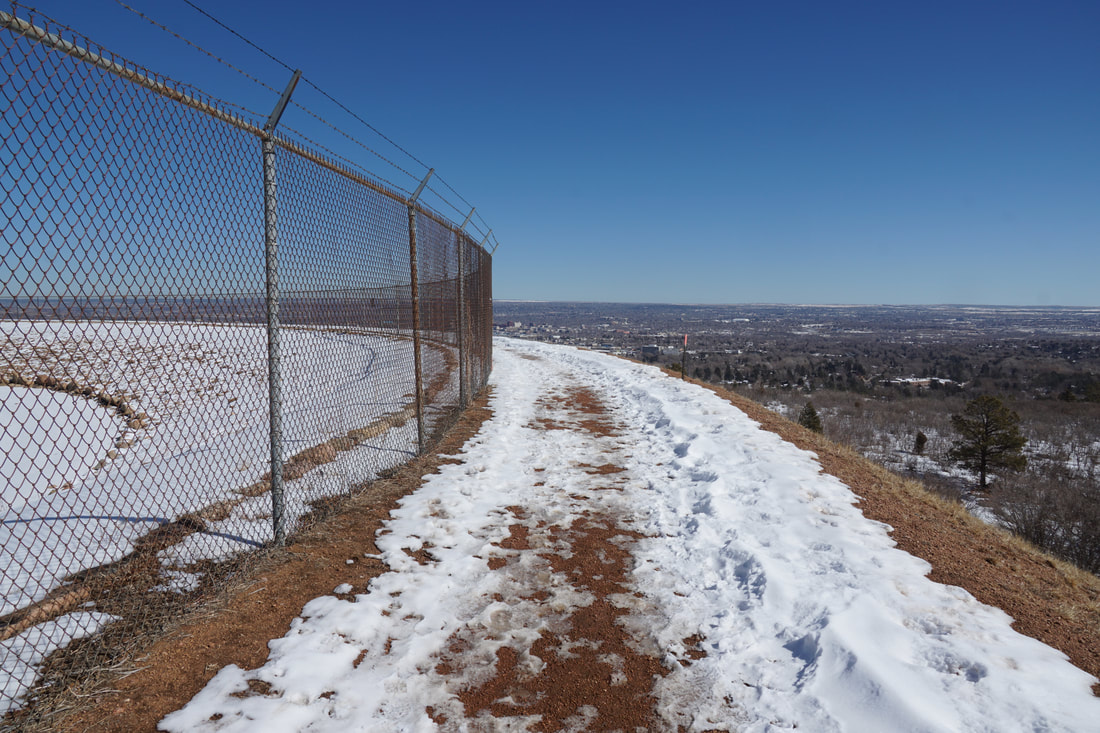
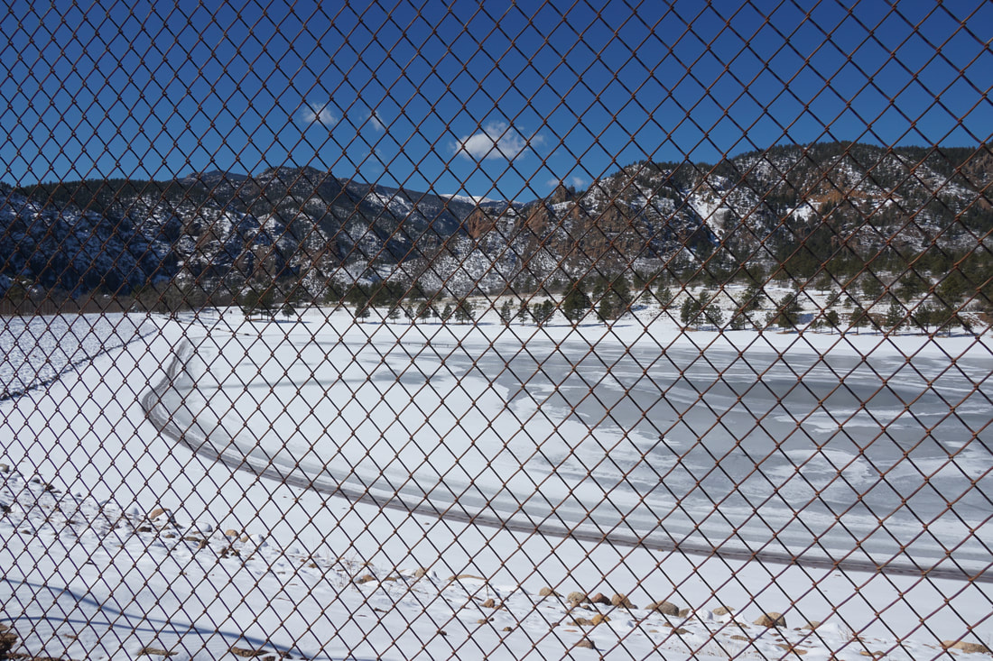
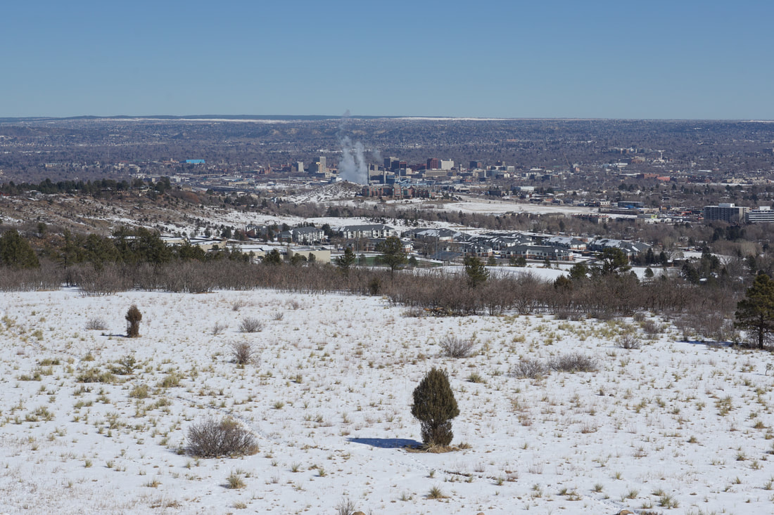
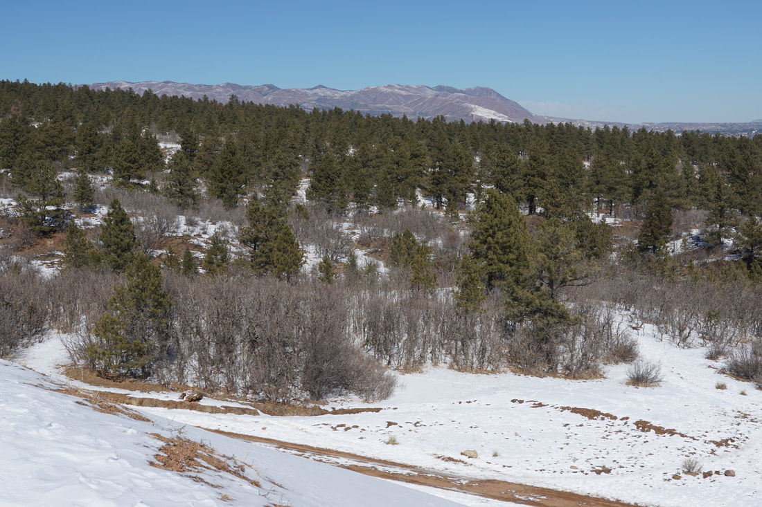
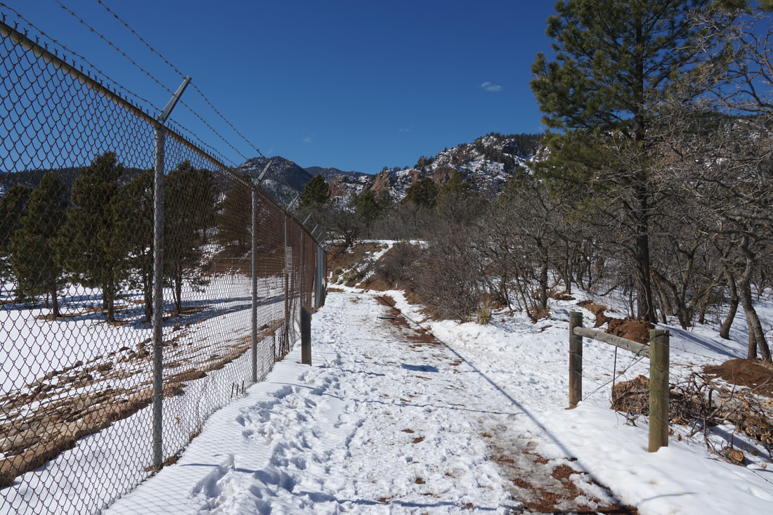
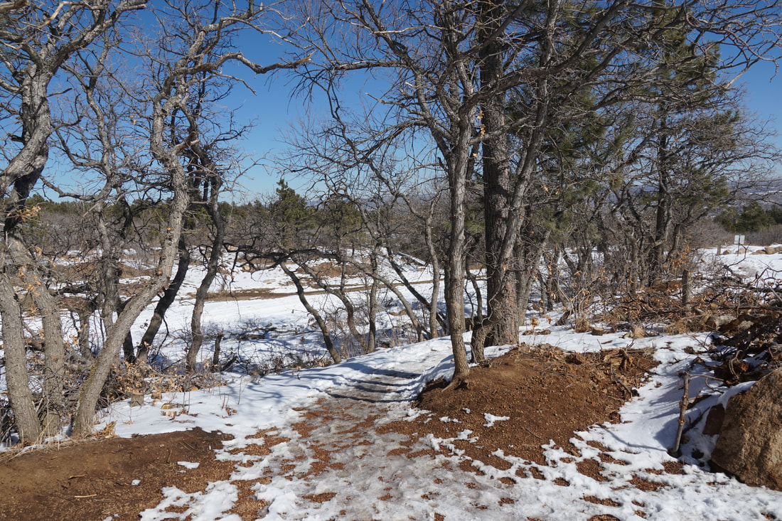
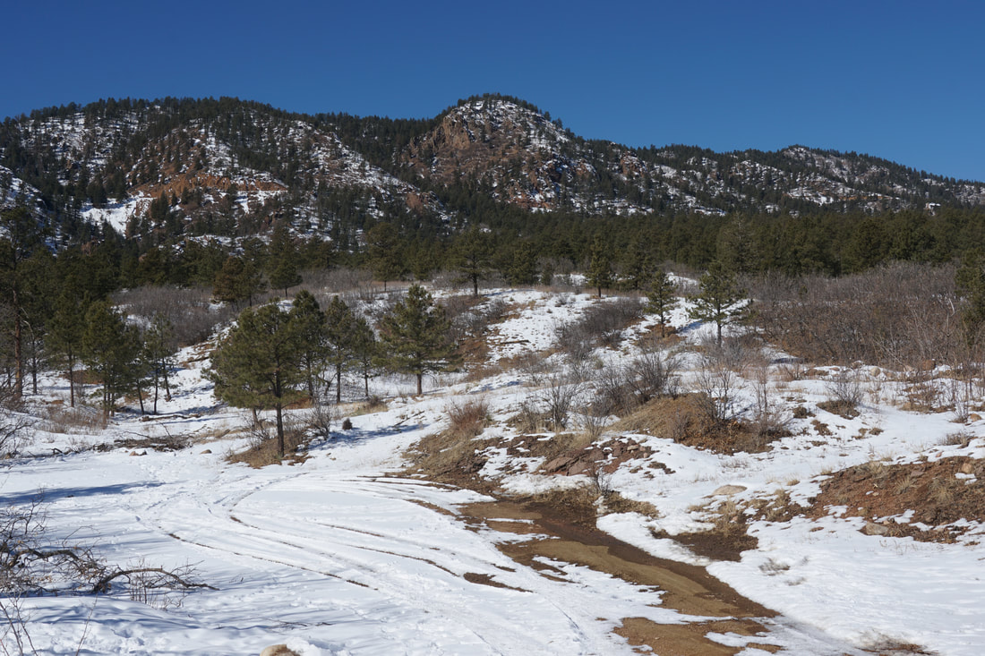
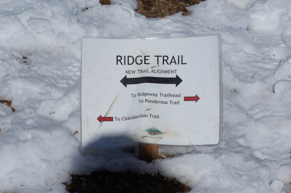
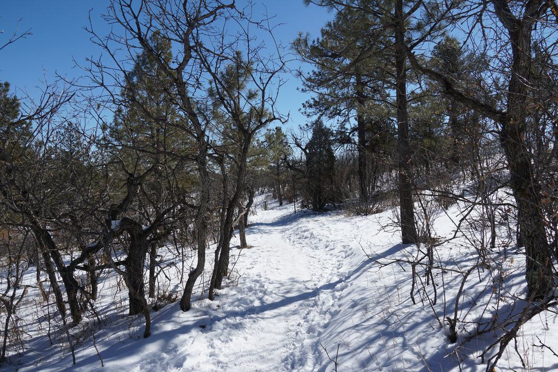
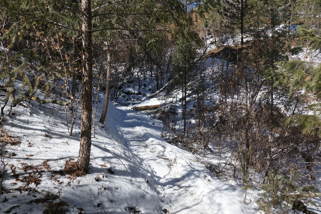
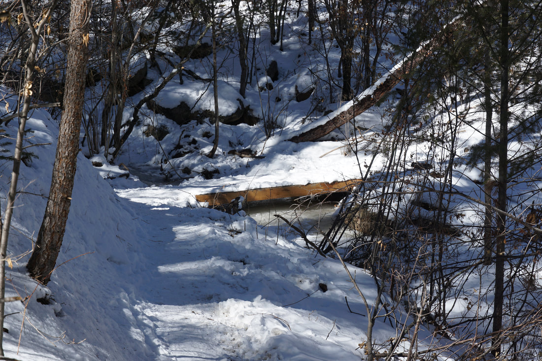
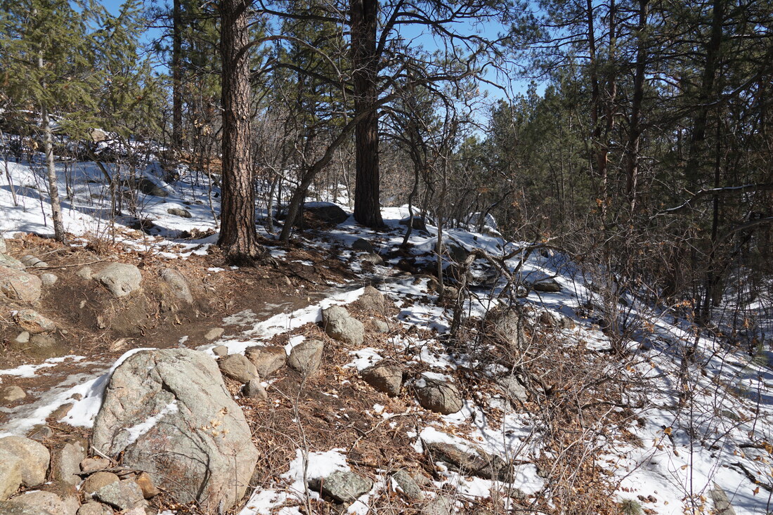
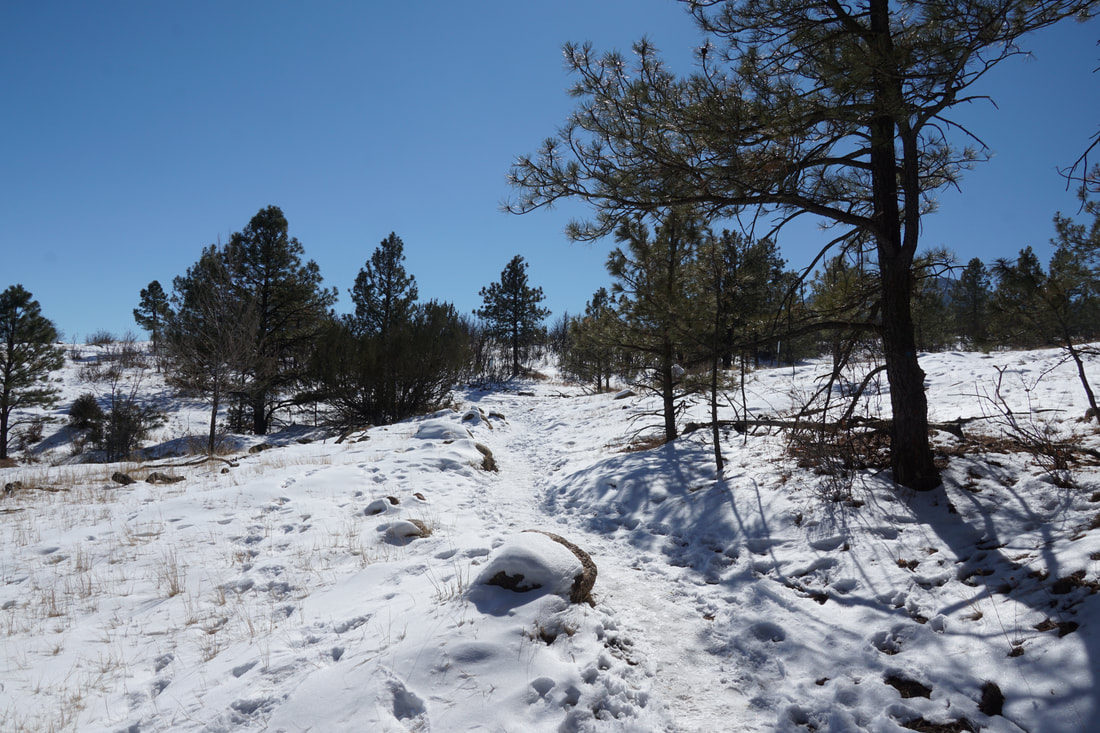
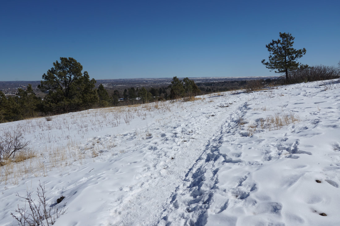
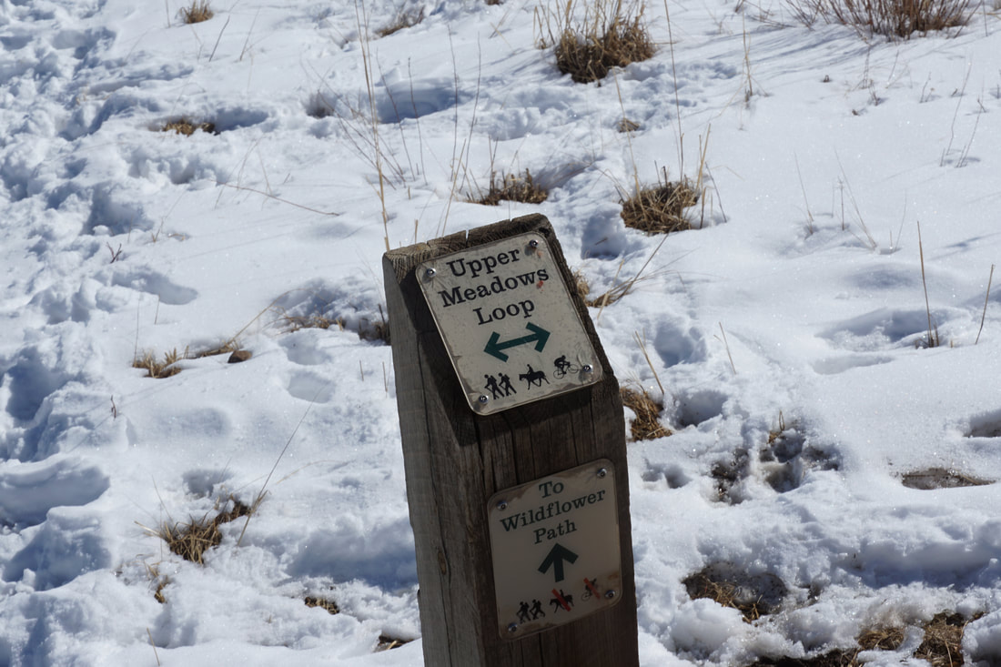
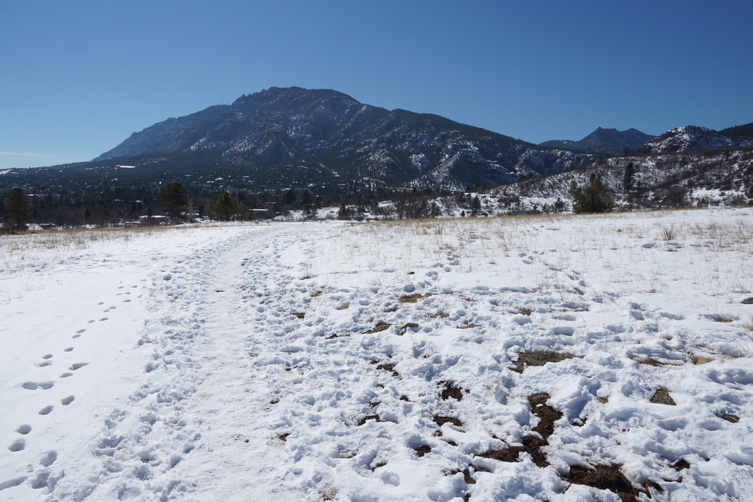
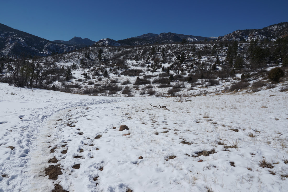
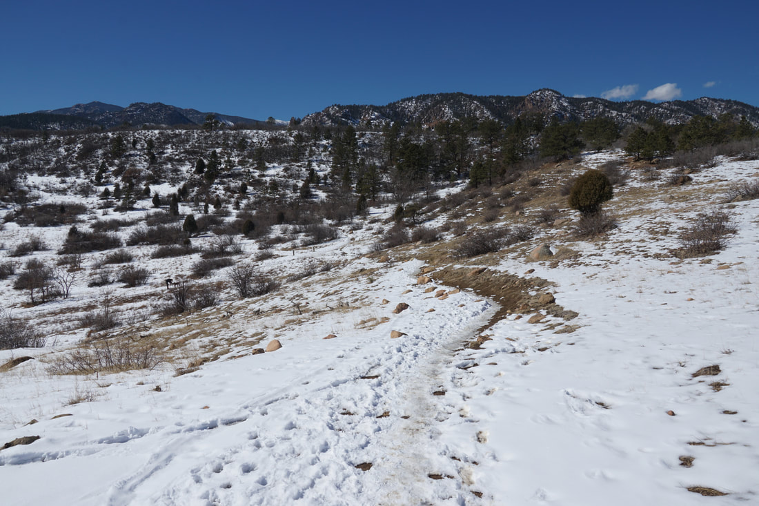
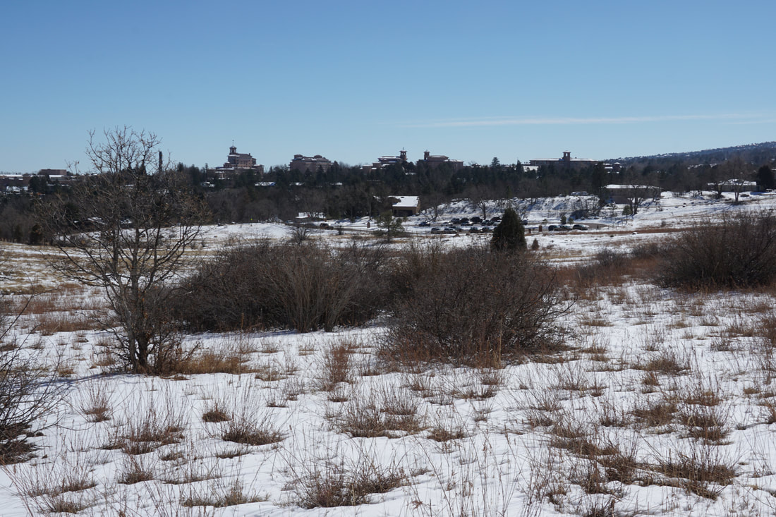
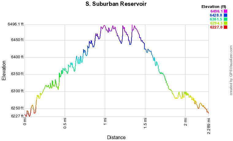
Your destination on this hike is the South Suburban Reservoir which sits high above Colorado Springs. Just to keep you expectations in check...the reservoir is surrounded by a wire fence, somewhat lessening the beauty of the reservoir. That being said, it is still a nice place to hike to in any season. From the trailhead, start by either following the obvious trail by the park sign and map (the Upper Meadow Loop), or take the dirt road at the southern edge of the parking lot. If you take the main trail, turn left after a few minutes of hiking, which basically takes you back to the southern edge of the parking area. Once on the Chamberlain-Ridgeway Spur Trail, wide dirt road sometimes used by administrative vehicles, follow the trail as it switchbacks up the hillside. The views of Colorado Springs are wonderful from here with Cheyenne Mountain towering to the south. As you climb the trail the views to the west of the jagged peaks around North Cheyenne Canyon come into view and remind you of just how spectacular the Colorado Springs foothills can be. In the distance, you'll even see some the alpine slopes of Pikes Peak, though not the peak itself. After 3/4ths of a mile on the dirt road, you'll reach a trail junction with the South Suburban Lower Loop. Don't turn here, rather continue up hill and you'll soon reach the Reservoir. You can either cut across along the western shore or follow a trail along the fence that circumnavigates the reservoir. Despite the fence, this section of the trail has wonderful views of the surrounding foothills and Colorado Springs below. After you loop around the reservoir the trail dips down from the reservoir. At the time that I hiked this trail there was some re-routing of the trail system taking place so this part of the hike can get a bit confusing. Follow the temporary signs for the Ridge Trail towards the Ridgeway Trailhead. There are two options for returning to the trailhead, the Stratton Trail or the Stratton Springs Trail. We took the Springs Trail which follows a creek down a steep and pretty drainage for 1/4 mile. The Stratton Springs Trail meets the Upper Meadows Loop, turn right (south) and follow the trail as it climbs then descends through a meadow back to the trailhead. Stratton Open Space has a lot to offer with miles of trails and great views from most of the park. More than anything, Stratton Open Space whets your appetite to explore more of the Colorado Springs foothills as the surrounding area is simple stunning. |
|