|
|
|
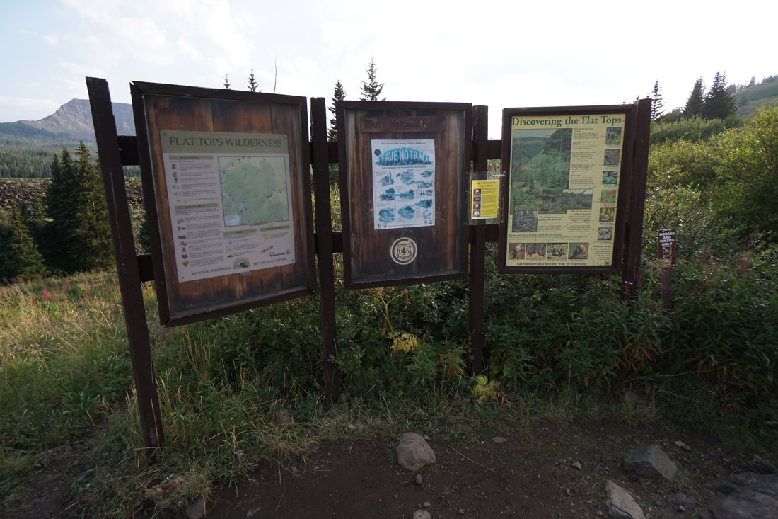
Directions from Yampa: Travel West on Routt County Rd #7 approximately 7 miles to FR 900. Travel another 10 miles on FR 900 to the end of the road. FR 900 is a good (although washboard) dirt road generally fine for passenger cars. There is a fairly large parking lot, restrooms, and an easy to find trailhead.
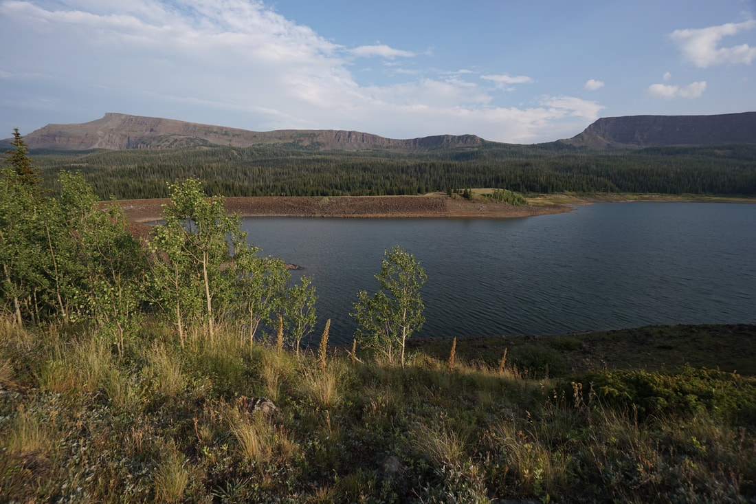
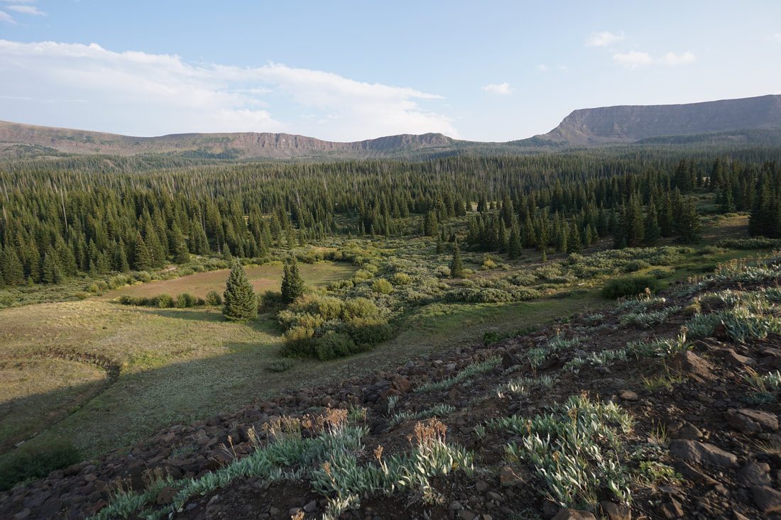
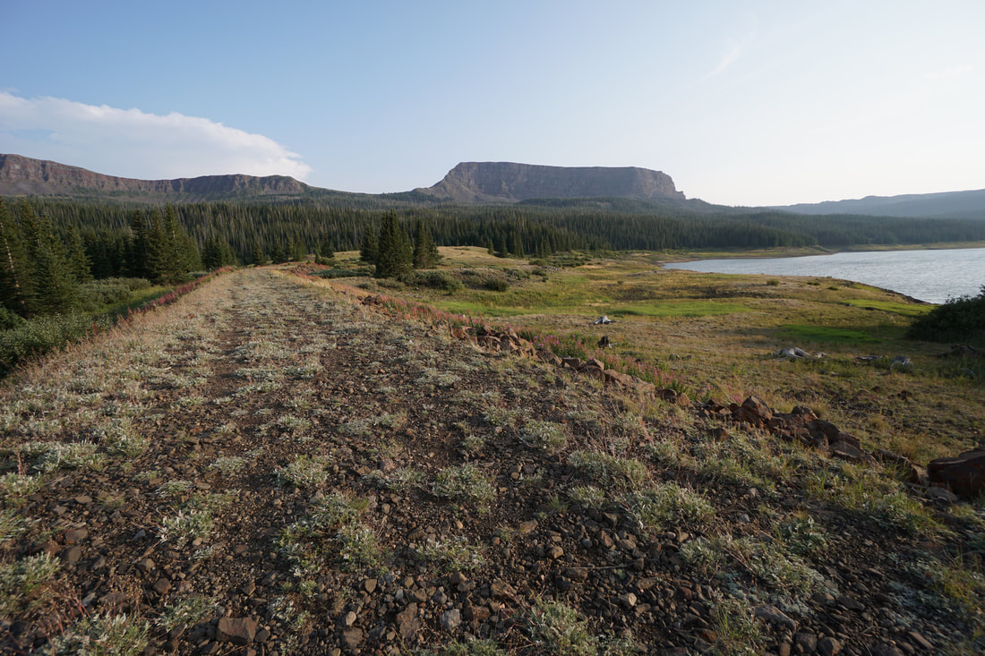
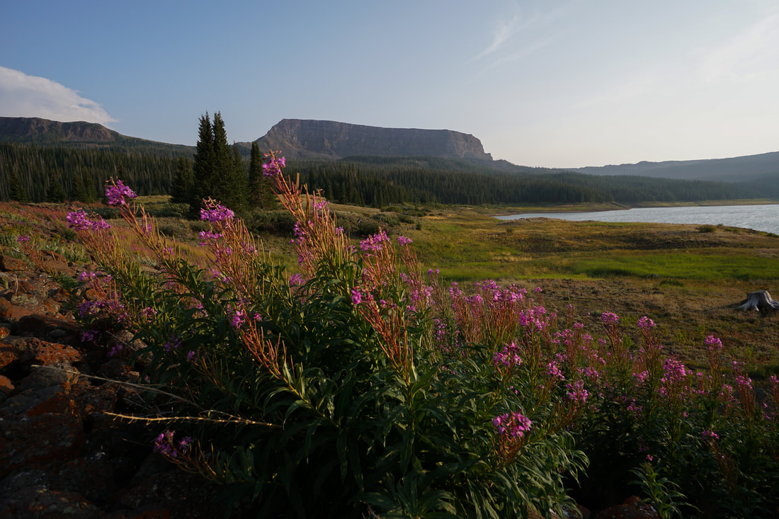
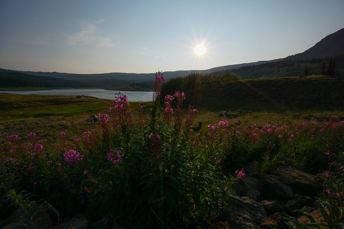
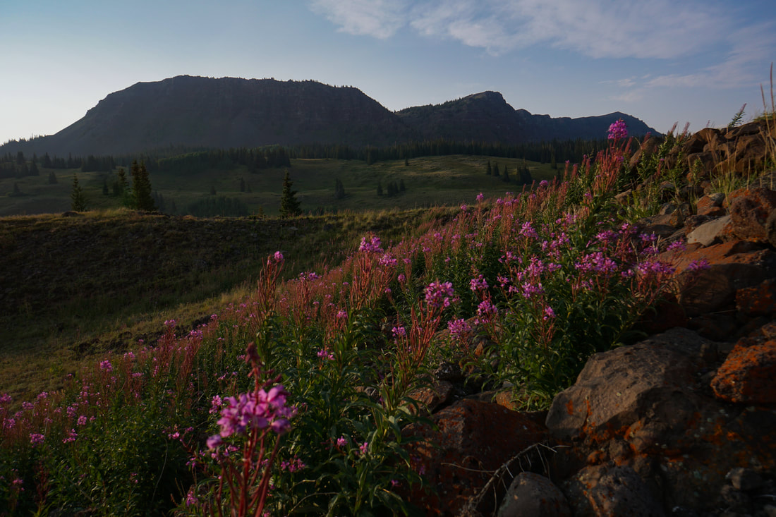
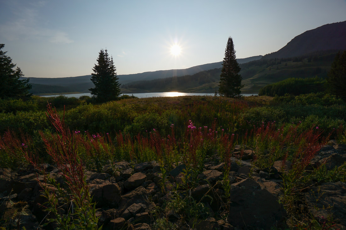
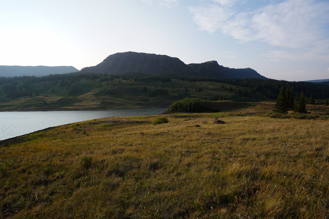
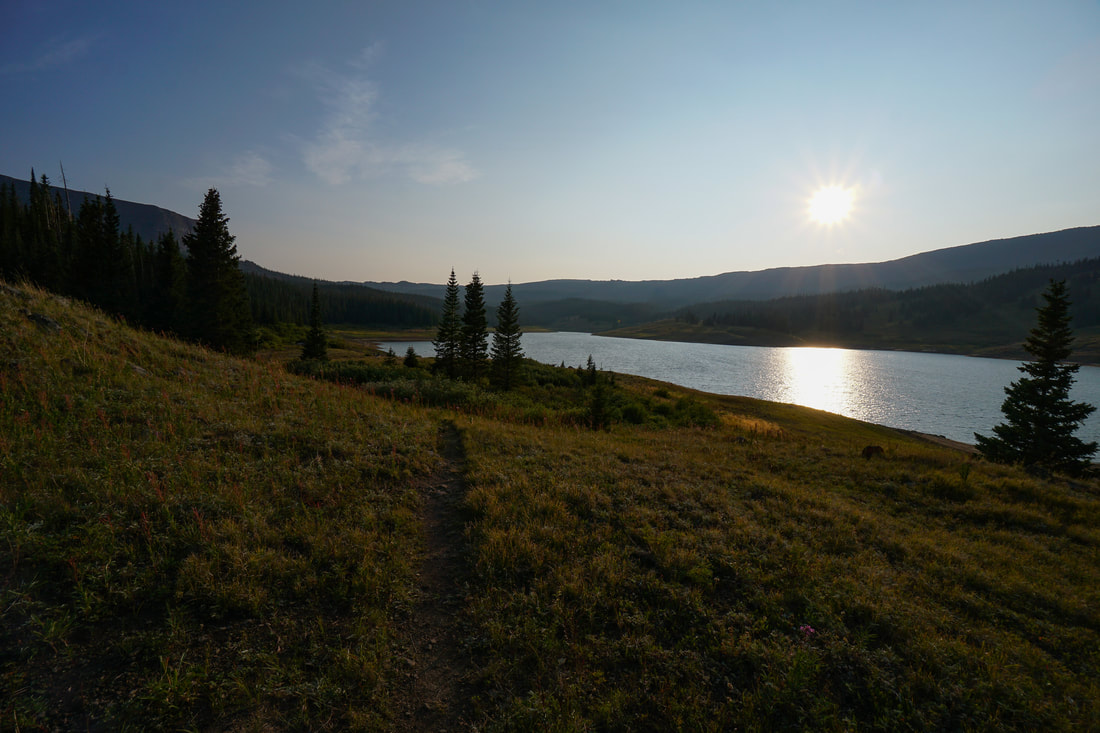
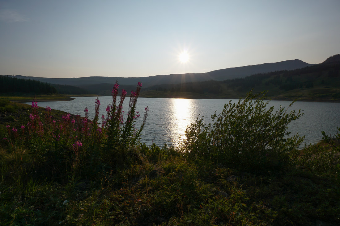
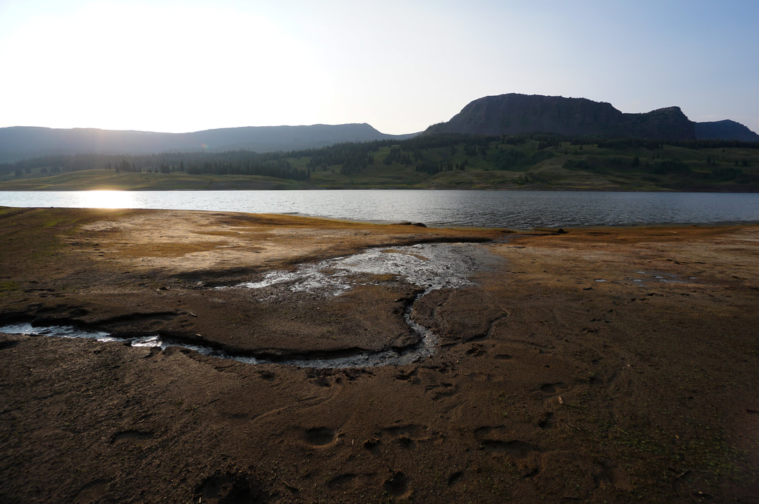
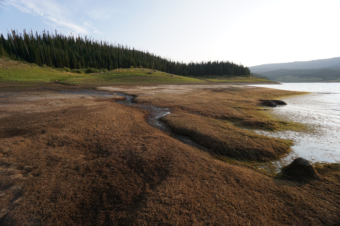
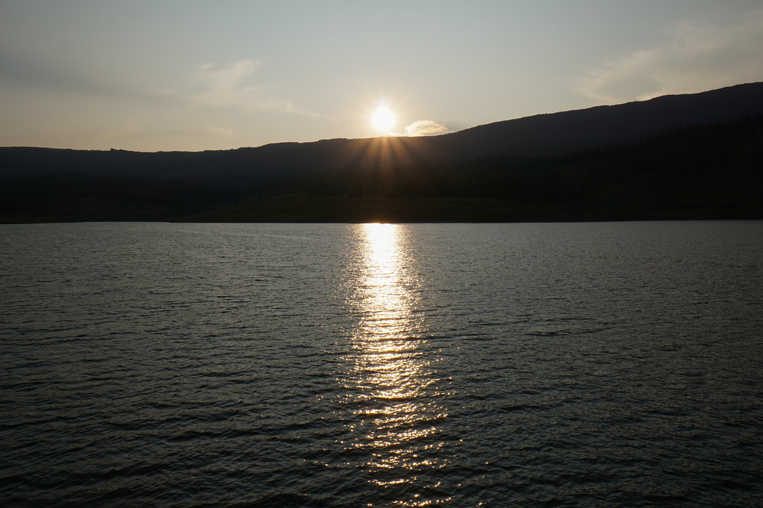
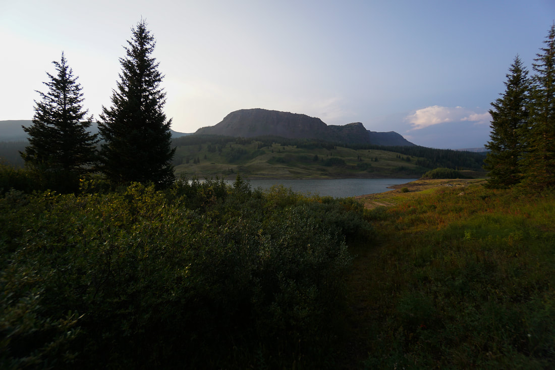
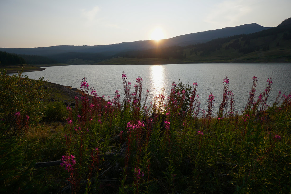
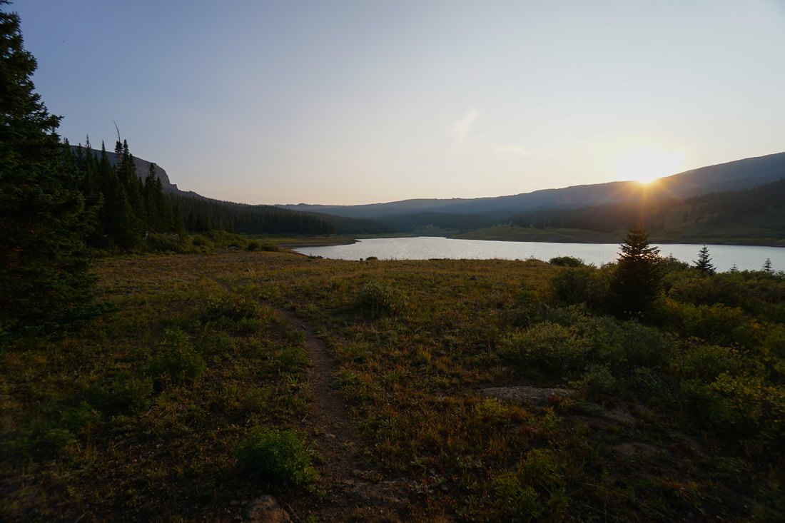
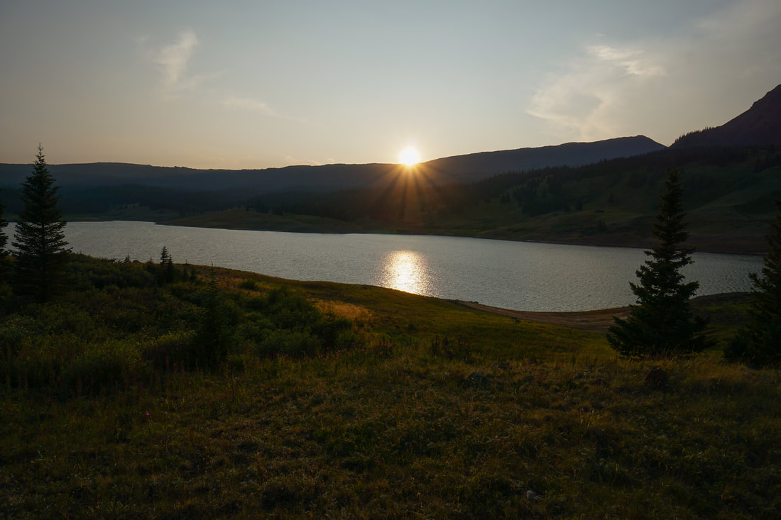
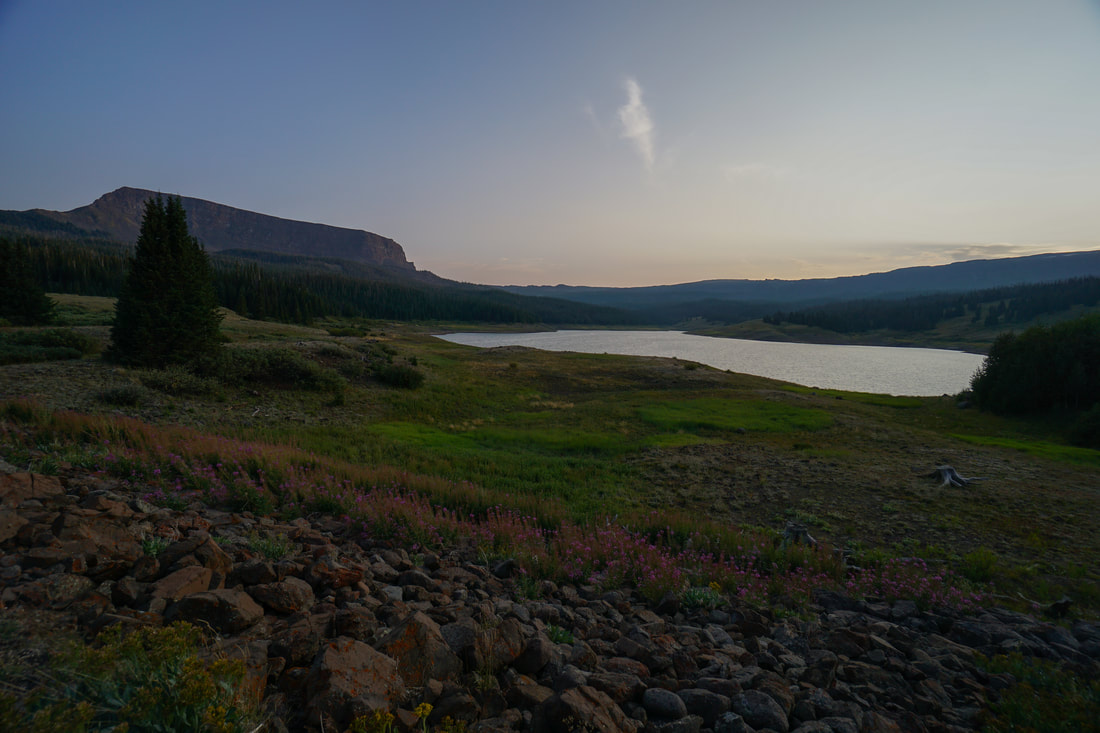
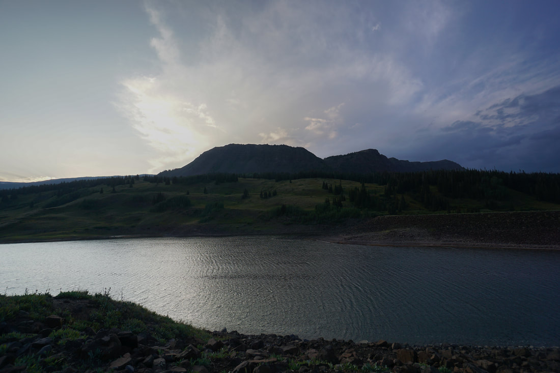
Stillwater Reservoir rests at the edge of the Flat Tops Wilderness Area and is a beautifully scenic spot. The reservoir serves as the starting point for countless hikes and is a great option for a leisurely stroll.
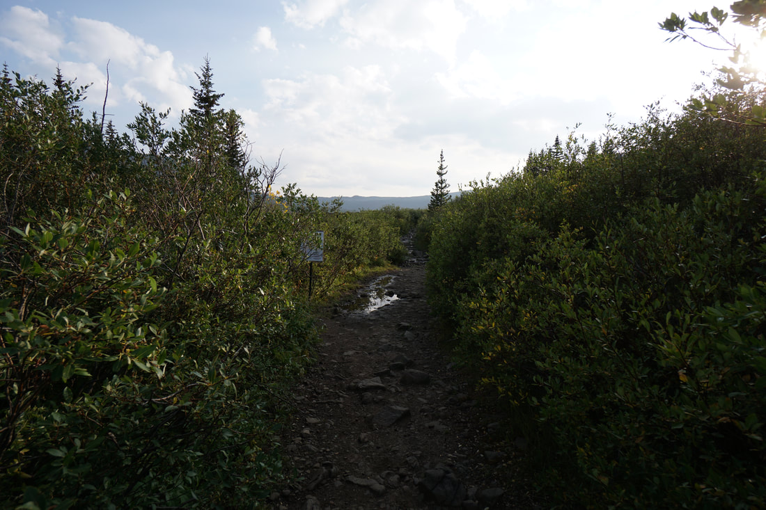
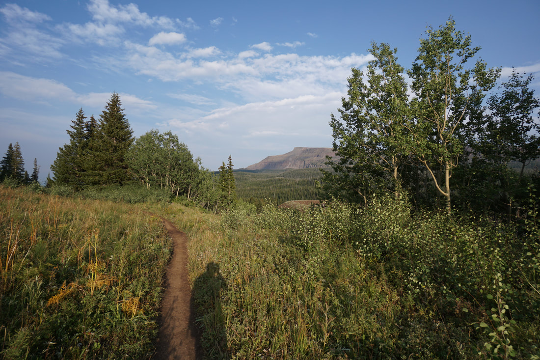
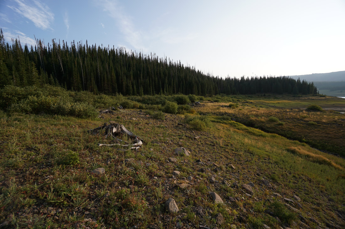
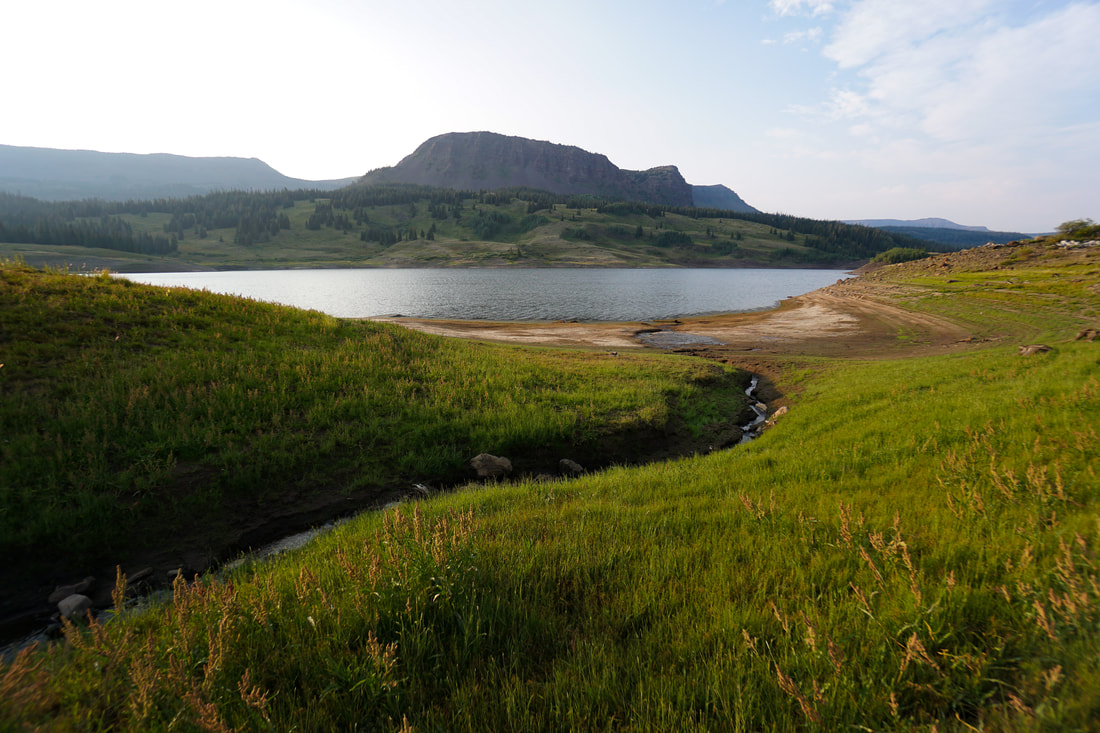
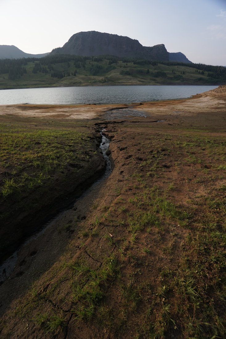
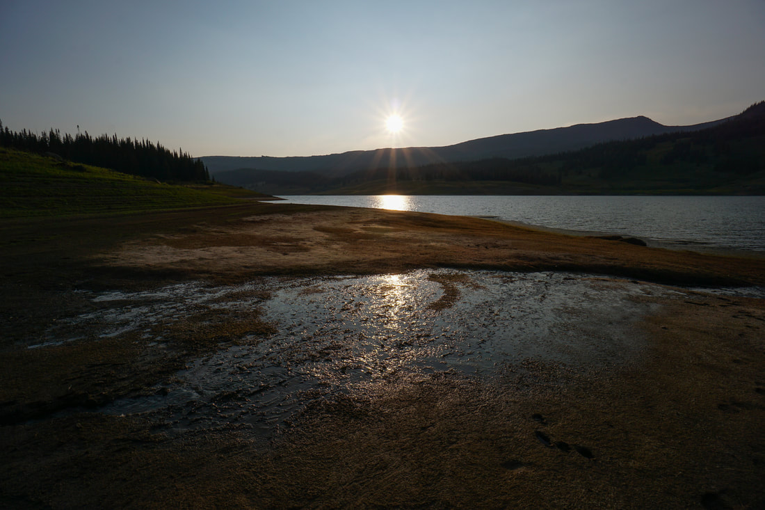
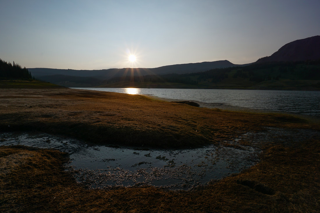
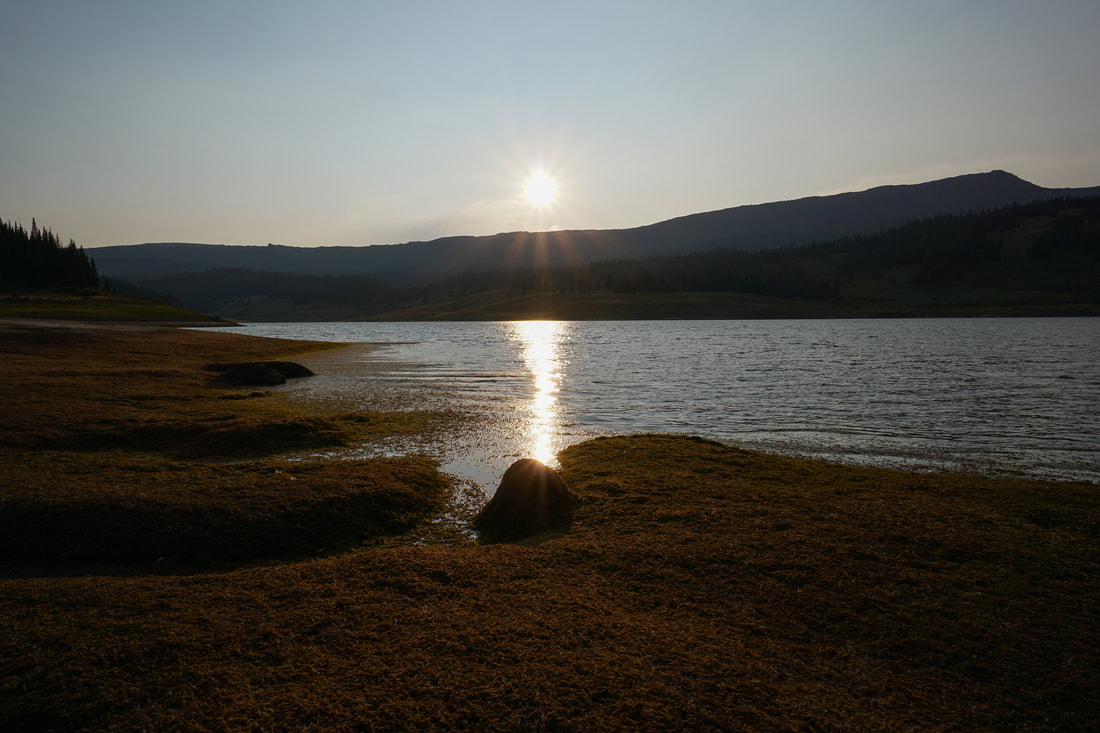
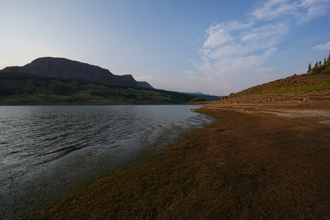
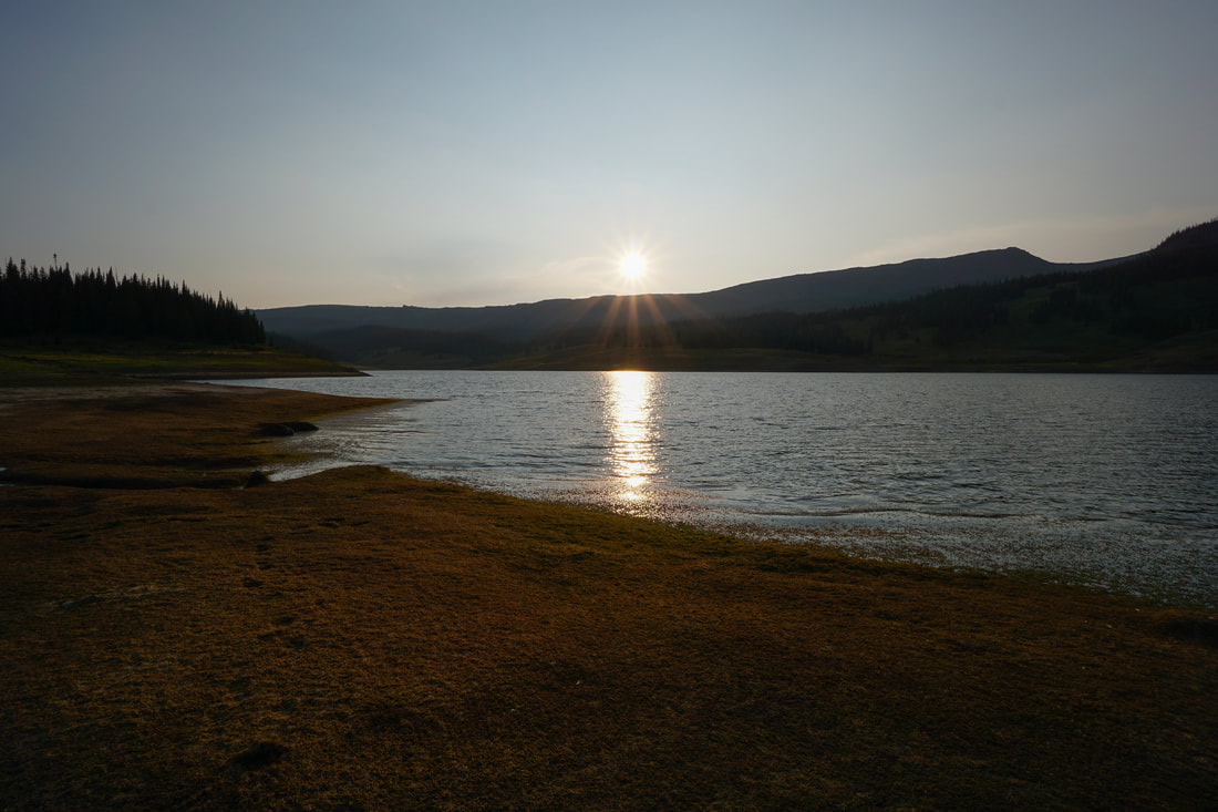
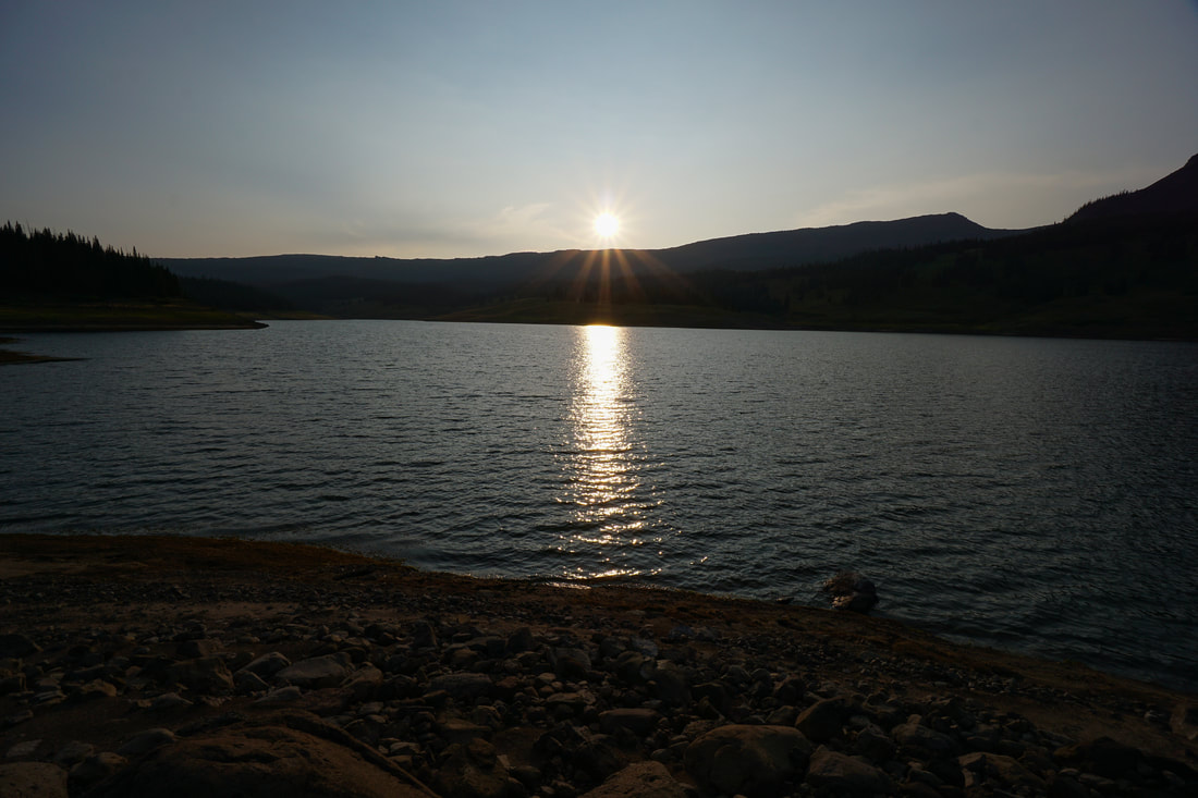
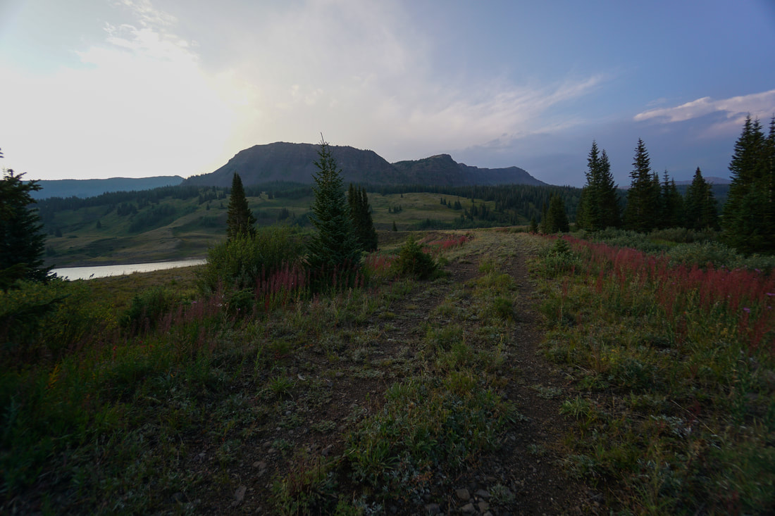
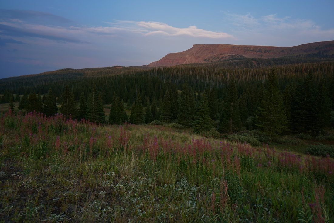
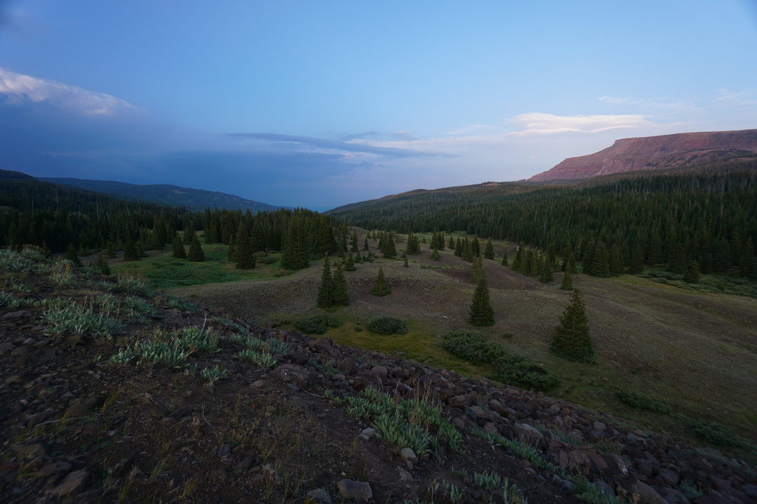
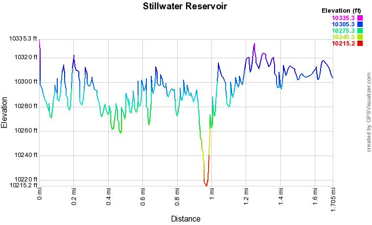
The East Fork Trail runs along the northwestern shore and eventually leads to Trappers Pass, Mosquito Lake, the Devil's Causeway, and other destinations in the wilderness area. The views across the reservoir from the East Fork Trail are wonderful and easily accessed. Another great hiking option is to follow the wide trail atop of the Stillwater Dam. This trail follows the northern shore and the reservoir's outlet with spectacular views across the reservoir and northeast to Flat Top Mountain. In the summer, the dam is lined with wildflowers. This hike is especially beautiful as the sun sets behind the immense cliffs to the west. If you are camping in the area, this makes for the perfect easy sunset hike. The dam trail leads to the junction for the trail up to Derby and Keener Lakes and continues along the dam to the eastern shore of the reservoir. When the trail along the dam stops, a narrow social trail begins and leads to hidden coves along the shoreline. At about .8 miles, a creek runs into the reservoir forming a small delta. This is a stunning area and a great place to watch the sunset. I assume that this unofficial trail continues around the reservoir to join with the East Fork Trail making it possible to circumnavigate the reservoir. However, even if you don't want to go that far, exploring the eastern shore and returning over the dam is a worthwhile experience. |
|