|
|
|
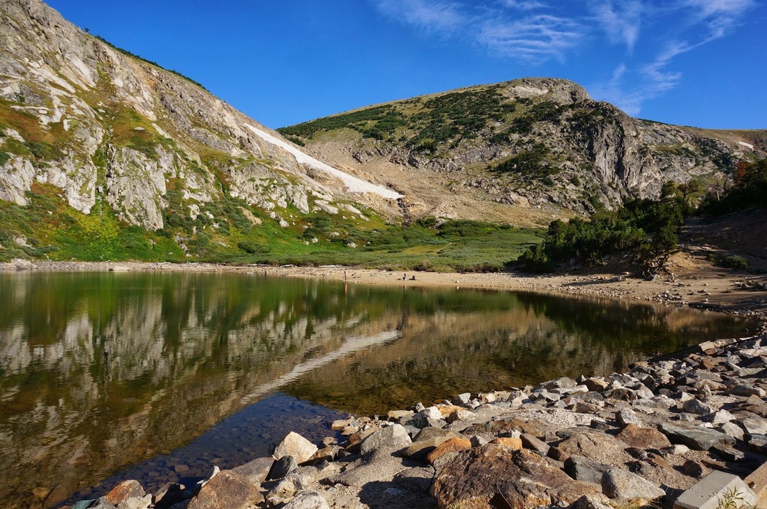
Directions: From Denver, take I-70 west and exit onto Fall River Road. Follow Fall River Road through the town of Alice. The trailhead will be off the the left and you will know it when you see it. The trailhead is on private property and the property owners require a $7 parking fee. There is a large sign pointing to the St. Mary's Glacier Trail. Follow the wide, rock, steep road for about .5 mile to reach St. Mary's Lake.
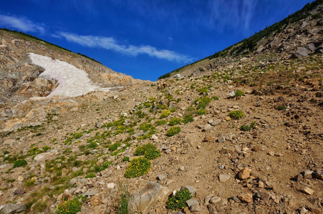
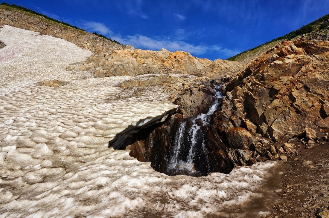
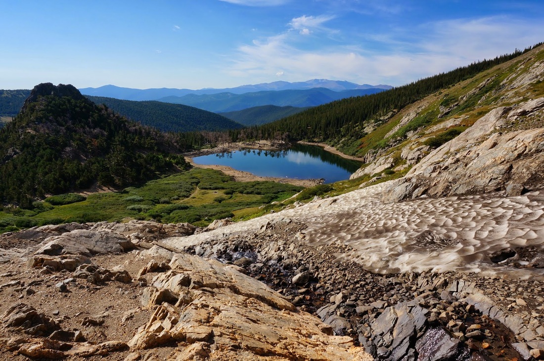
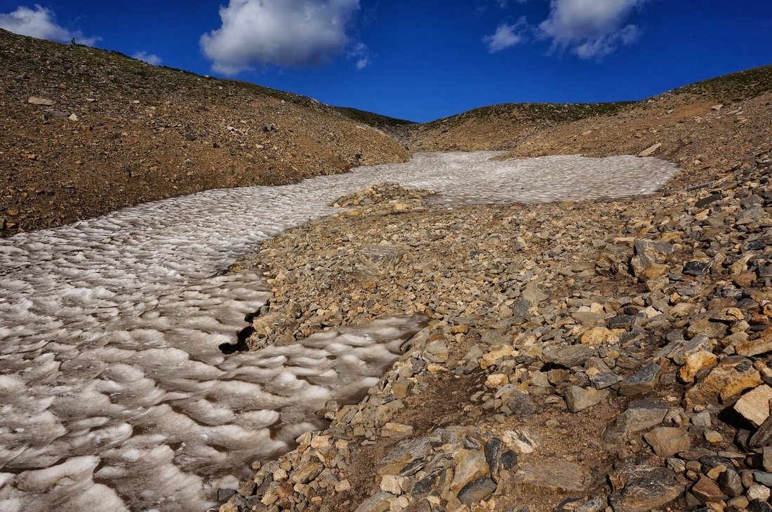
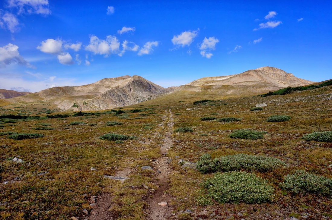
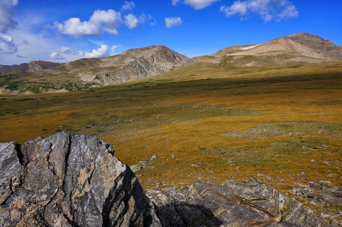
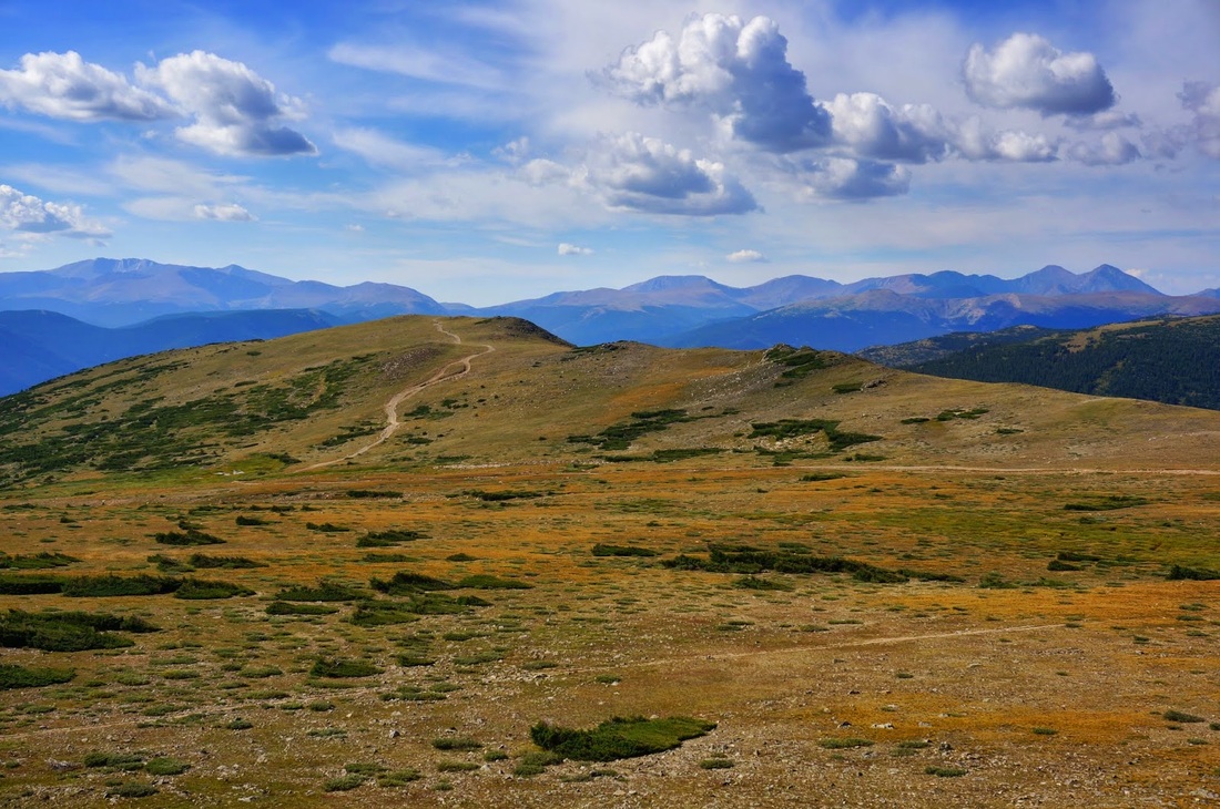
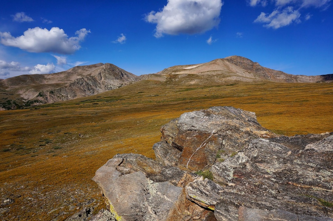
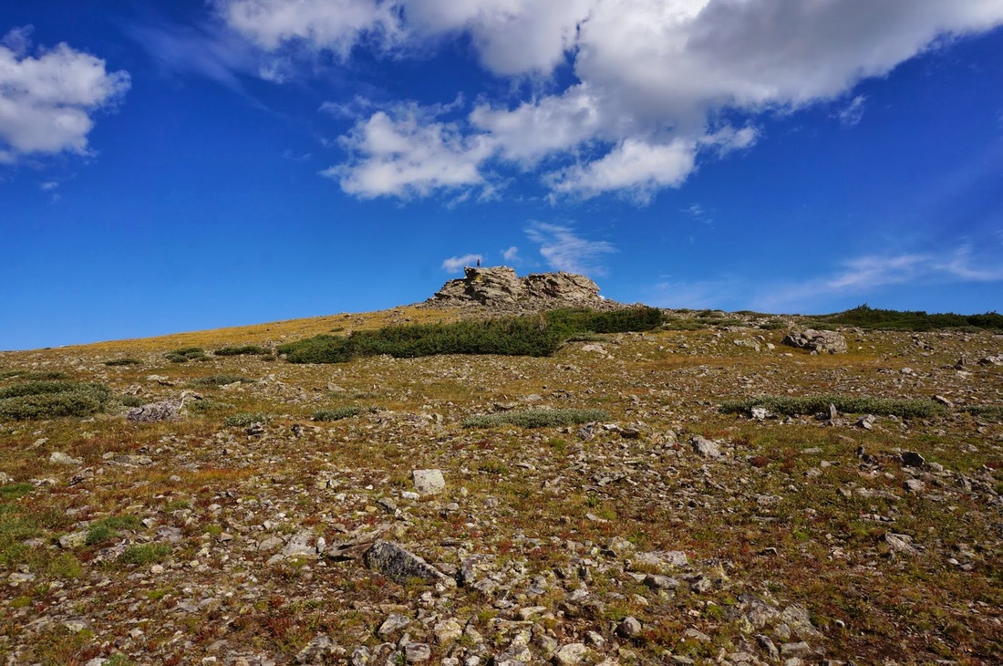
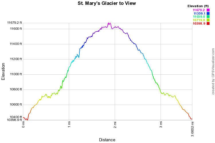
The hike to St. Mary's Glacier can be whatever you make of it. It can be a quick relaxing hike with the kids to a picturesque lake, it can be a winter adventure and a glacier climb where you can practice your glisade skills. In the late summer/early fall, I like to use this trail as a way to access the James Peak Wilderness and the Continental Divide Trail. This time of year, the glacier is just a narrow patch of snow, but skill capable of being skied. From the lake, cross the bridge and follow the trail to the base of the glacier and a seasonal waterfall. Follow the rocky trail to the right of the glacier and ascend up past the glacier. Once you reach the saddle on top of the glacier you will find yourself on a large flat tundra, be aware of storms in the summer as there is little shelter. Before too long, you'll see a prominent rock tower to the right of the trail. This makes for a great viewpoint and a nice day hike destination if you don't want to summit James Peak (directly ahead). Scramble up to the top of the rock tower and you'll have views of James, Bancroft, and Parry Peaks straight ahead and Mt. Evans, Greys and Torrey's Peaks to the south. The tower is a fine destination but this area just begs to be explored. When satisfied, head back down to St. Mary's Lake. |
|