GO HIKE COLORADO
Get in Touch:
  • HOME
  • ABOUT
  • HIKES BY REGION
    • DENVER AREA >
      • Denver Mountain Parks
      • Jefferson County Open Space
      • Lakewood Parks
      • Denver Area Greenways
    • BOULDER AREA
    • DOUGLAS COUNTY
    • FORT COLLINS AREA
    • COLORADO SPRINGS AREA
    • FRONT RANGE
    • TENMILE & MOSQUITO RANGES
    • GORE RANGE
    • SANGRE DE CRISTO MOUNTAINS
    • PARK RANGE
    • SAWATCH RANGE
    • ELK MOUNTAINS
    • SAN JUAN MOUNTAINS
    • THE FLAT TOPS
    • GRAND MESA
    • COLORADO PLATEAU
    • EASTERN PLAINS
  • NATIONAL PARK HIKES
    • BENT'S OLD FORT NATIONAL HISTORIC SITE
    • BLACK CANYON OF THE GUNNISON NATIONAL PARK
    • COLORADO NATIONAL MONUMENT
    • CURECANTI NATIONAL RECREATION AREA
    • DINOSAUR NATIONAL MONUMENT
    • FLORISSANT FOSSIL BEDS NATIONAL MONUMENT
    • MESA VERDE NATIONAL PARK
    • ROCKY MOUNTAIN NATIONAL PARK
    • GREAT SAND DUNES NATIONAL PARK
    • HOVENWEEP NATIONAL MONUMENT
    • SAND CREEK MASSACRE NATIONAL HISTORIC SITE
    • YUCCA HOUSE NATIONAL MONUMENT
  • HIKES BY CATEGORY
    • HIKES TO ALPINE LAKES
    • HIKES TO PEAKS & PASSES
    • HIKES THROUGH CANYONS
    • HIKES WITH FALL COLORS
    • HIKES ALONG THE I-70 CORRIDOR
    • HIKES ON PAVED TRAILS
    • HIKES FOR KIDS
    • HIKES TO WATERFALLS
    • HIKES ALONG RIVERS
    • HIKES WITH ROCK FORMATIONS
    • HIKES WITH WILDFLOWERS
    • WINTER HIKES
  • NEWS
  • WEBCAMS
  • $UPPORT GHC
  • INTERACTIVE MAP

Square Top Lakes
Pike National Forest

Date Hiked: August 2012 

​Distance: 4.3 mi (RT)
Elevation Gain: 1,000ft
Elevation Min/Max: 11,587 to 12,375ft
Trailhead Lat/Long: 39.597210 N; 105.713087 W
Managing Agency: U.S. Forest Service
Fee: None

Guanella Pass Webpage (USFS)
Picture

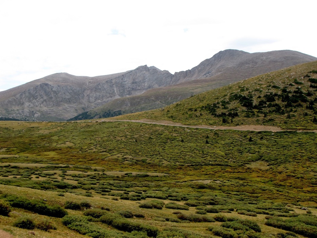
Directions:  From Denver, head west on I-70 to Georgetown.  Drive through historic Georgetown to Guanella Pass Road.  Follow Guanella Pass Road to the summit of Guanella Pass where there is a parking area and the trailhead for Square Top Lakes.

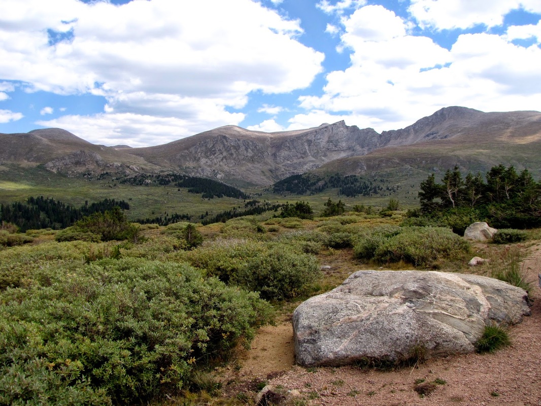
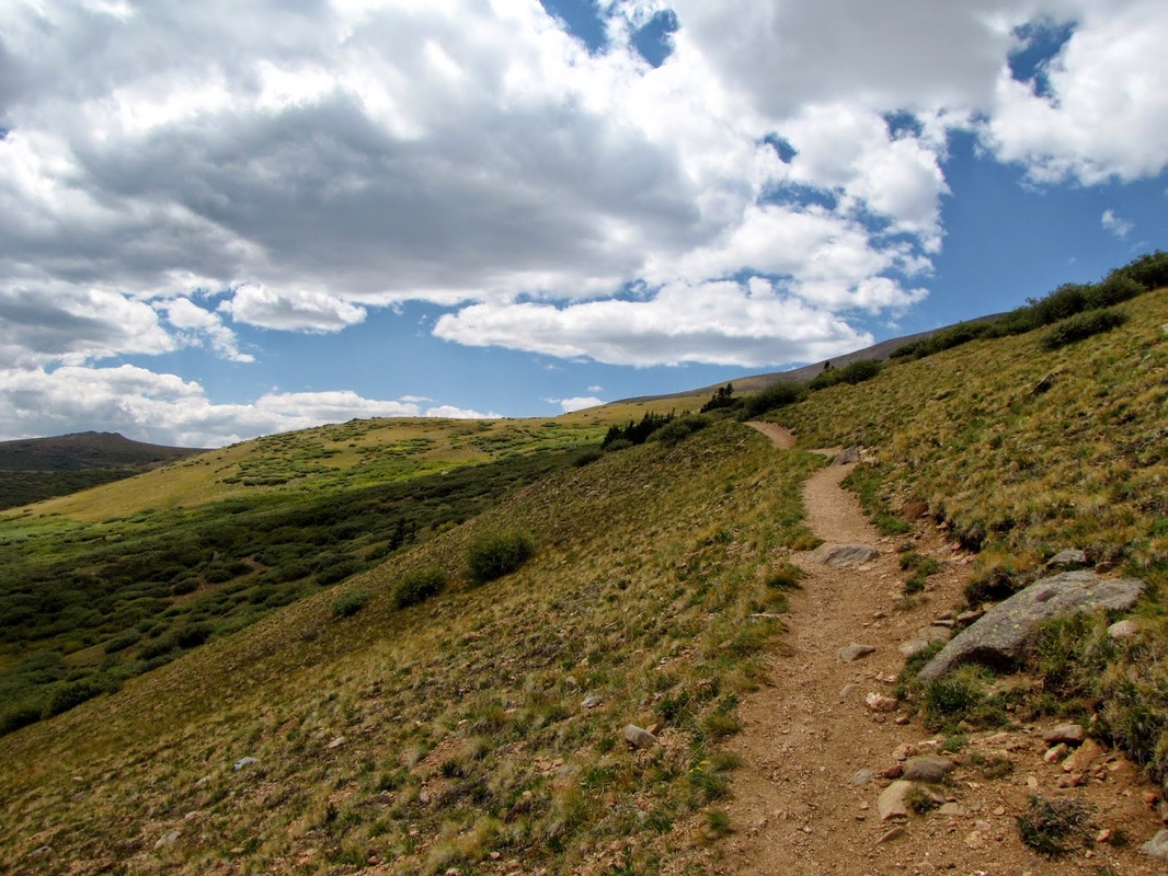
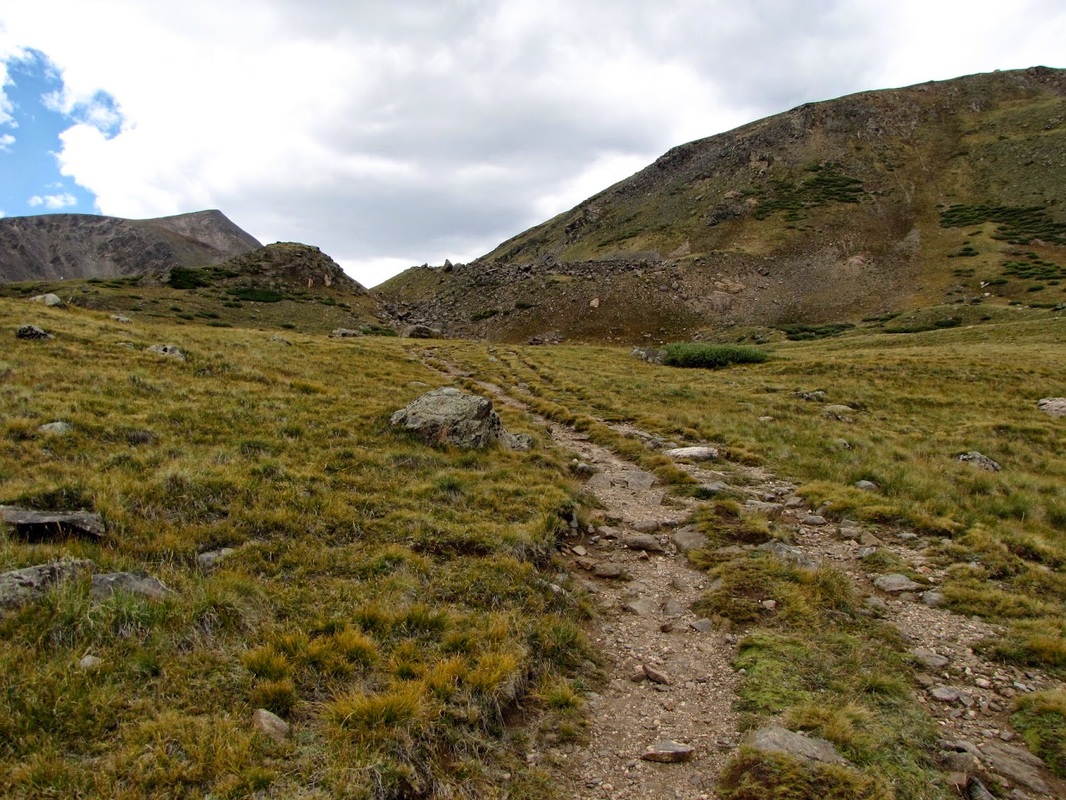
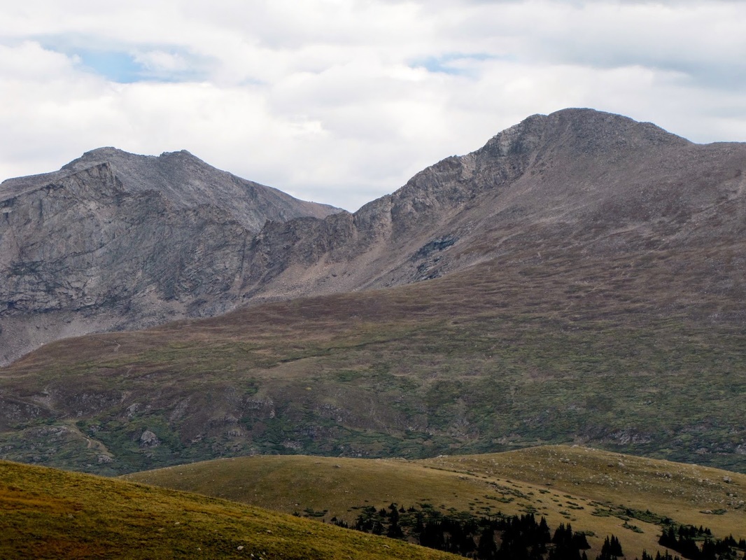
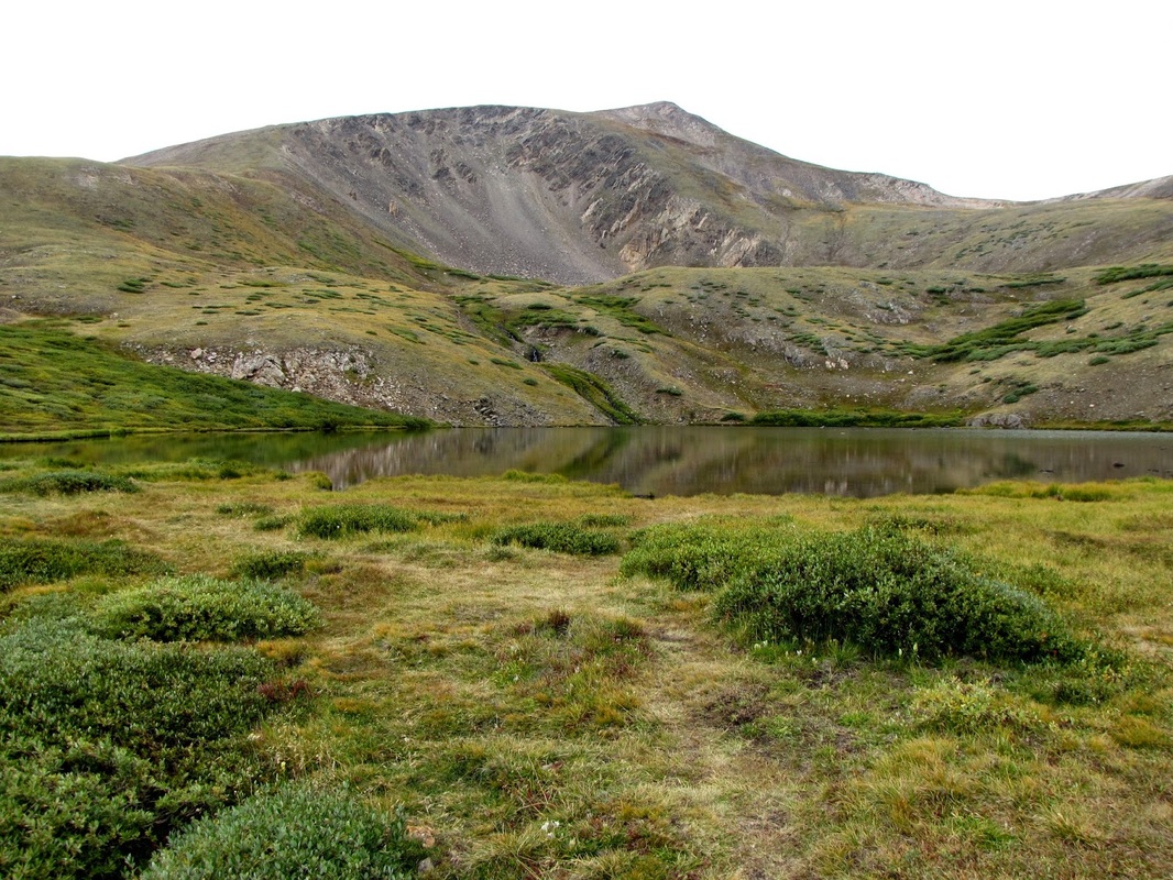
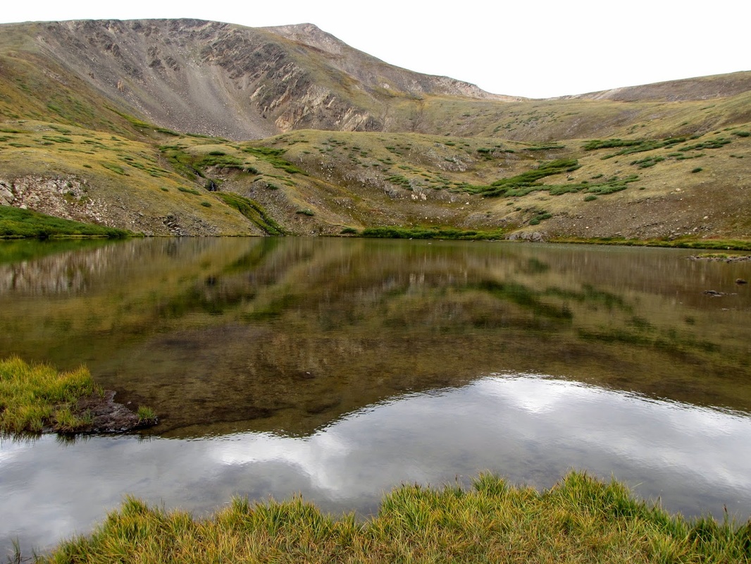
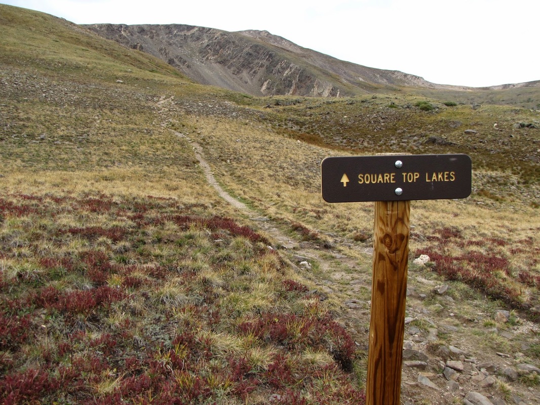
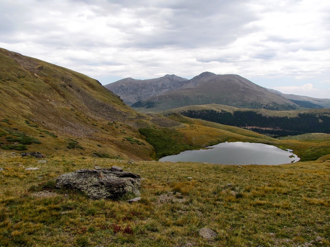
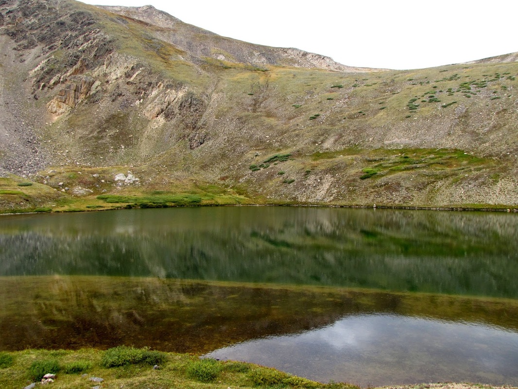
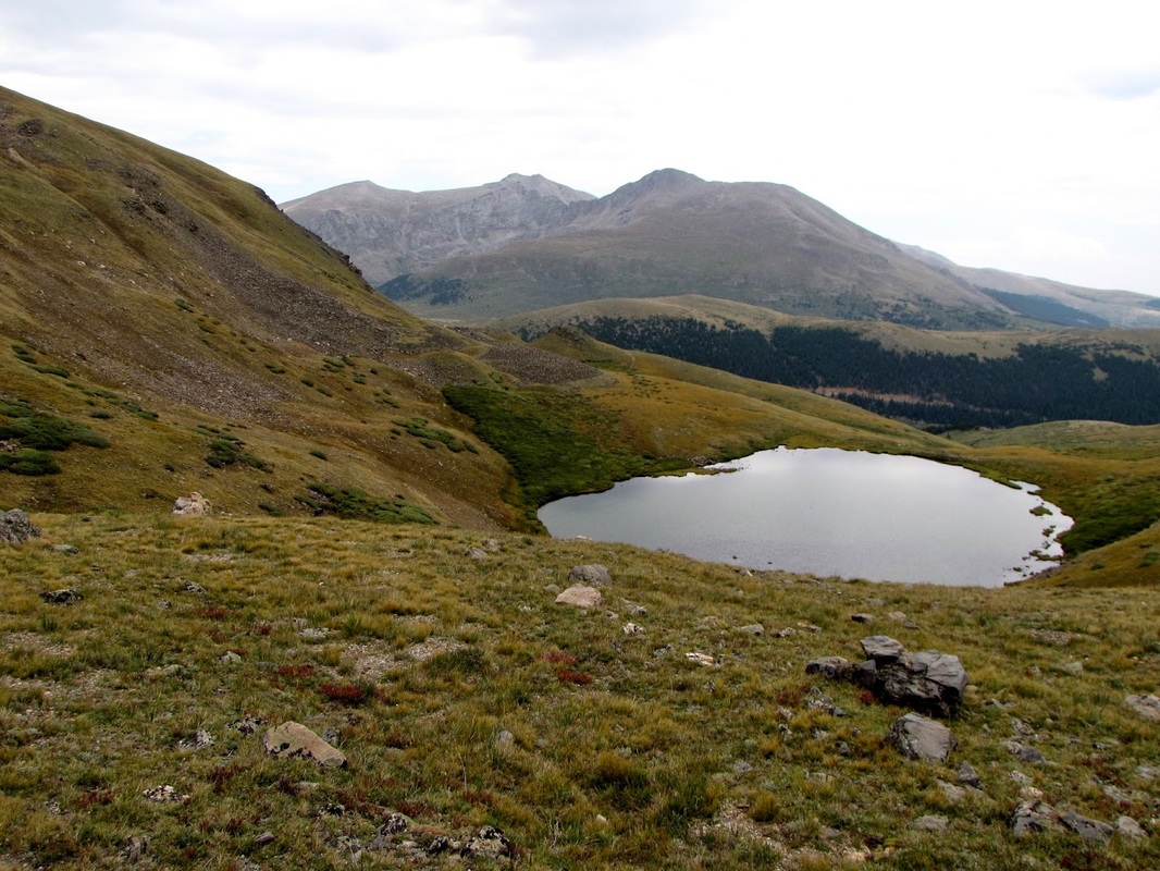
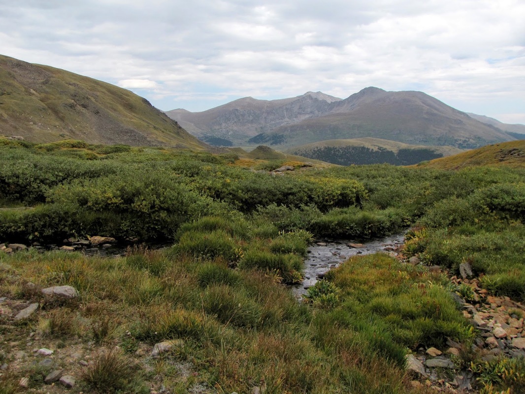
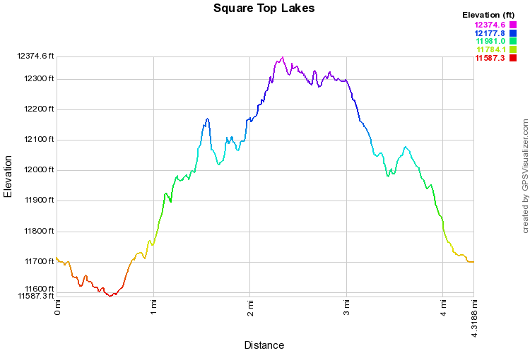
The Square Top Lakes Trail is a wonderful, high alpine hike to two scenic lakes with wonderful views of Mt. Bierstadt and Mt. Evans to the East.  From the trailhead, you follow the rolling tundra approaching ever closer to Square Top Mountain.  The trail is easy to follow, which is helpful because you will be hard pressed to keep your eyes focused on the trail with such amazing scenery around and behind you.

The first lake is about 1.8 miles from the trailhead.  Take a few moments here but don't stop, the upper lake is less than 1/2 a mile further.  Follow the trail to the left of the lake and the sign pointing to Square Top Lake.  This climbs the ridge behind the 1st lake to the upper Square Top Lake, your destination.  This is a wonderful lake to sit and stare at Mt. Bierstadt.  If you are feeling particularly adventurous, you can continue up to the summit of Square Top Mountain, if not, relax, enjoy the landscape, and head back the way you came when you are ready.

This is a true high alpine adventure and as such, be wary of getting a late start, Thunderstorms can roll in quickly and there is no shelter on this trail.  That being said, this hike is simply a must do.

Powered by Create your own unique website with customizable templates.