|
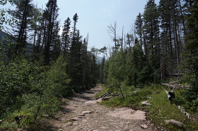
Directions: From Westcliffe head south on Hwy 69 and turn right onto 119 (Colfax) following signs to the South Colony Trailhead. 119 is a good dirt road. At the T intersection turn right onto 120 (South Colony Road) at a sign pointing right to South Colony Lakes Trailhead, left to Music Pass Trailhead. Follow South Colony Road to the lower trailhead and the start of the 4WD road. As of August 2015 the road has been improved and graded. Still, it is a serious road and you should not attempt it in a 2wd sedan. You need good clearance for this road and check with the Forest Service for current conditions. Follow the road for 2.5 miles to the upper trailhead and parking.
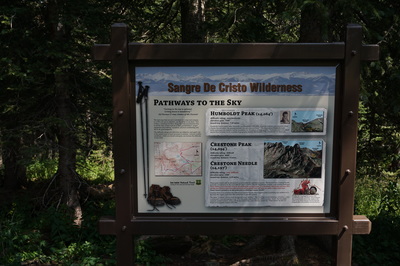
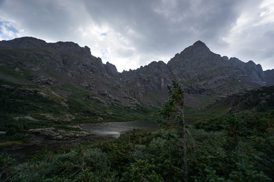
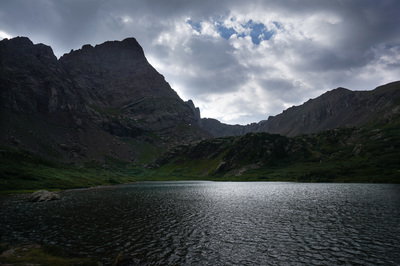
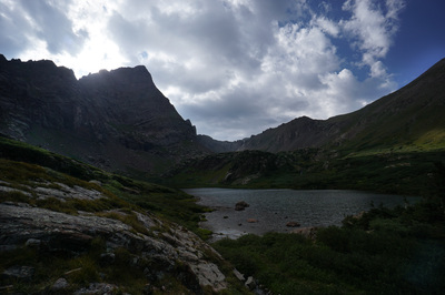
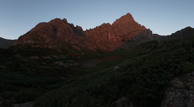
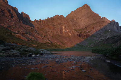
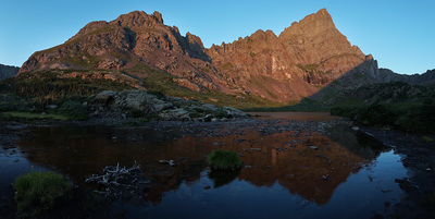
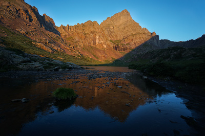
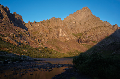
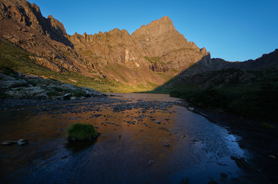
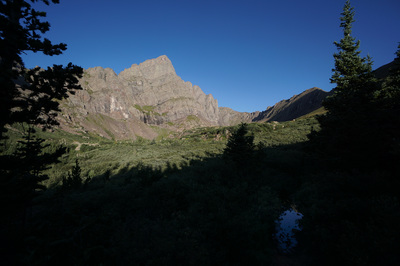
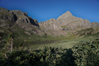
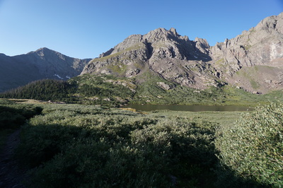
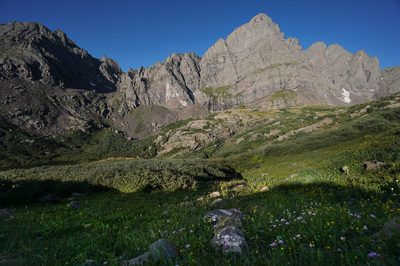
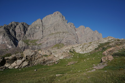
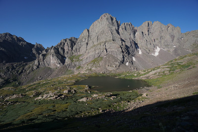
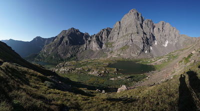
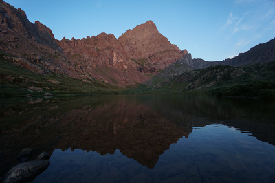
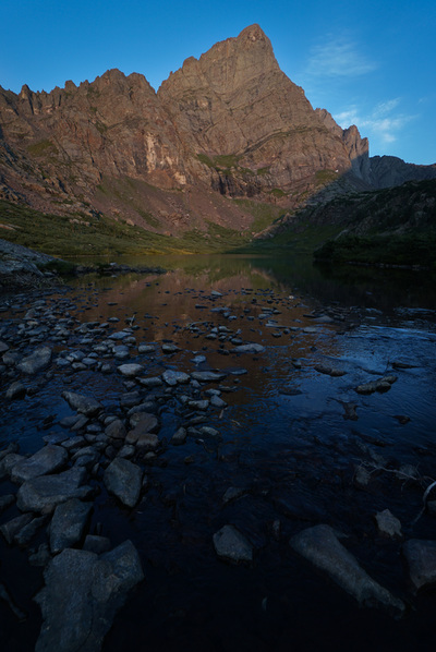
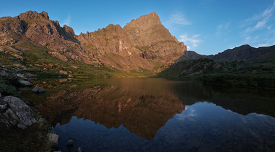
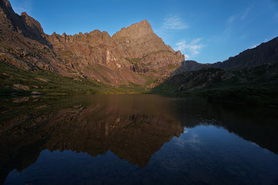
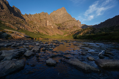
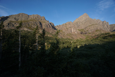
The South Colony Lakes are situated in an stunning basin high in the heart of Sangre De Cristo Mountains. Surrounded by 14ers, Crestone Needle, Crestone Peak, and Humbolt Peak, and 13ers, Broken Hand Peak, and Marble Mountain, the lakes are a popular base camp for hikers and climbers alike. Because of the easy access you will not likely find much solitude at these lakes, but that should not matter. This is one of the finest alpine basins in all of the Colorado.
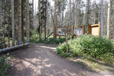
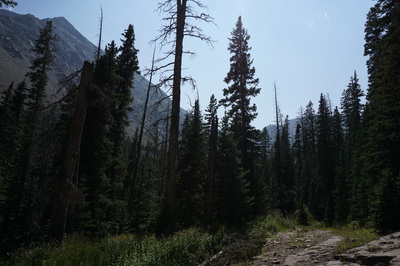
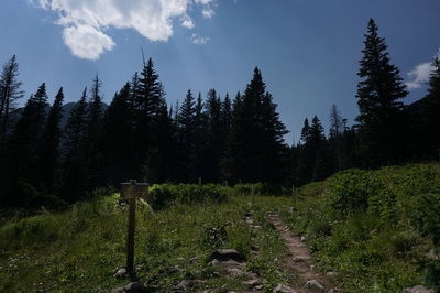
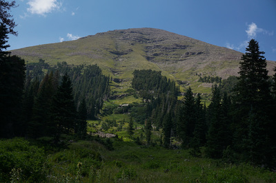
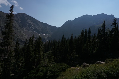
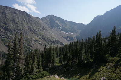
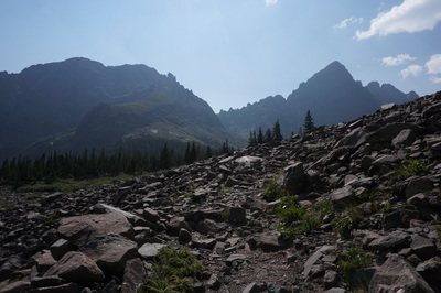
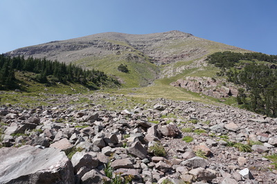
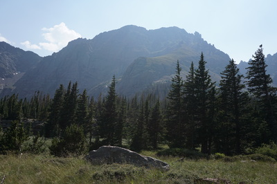
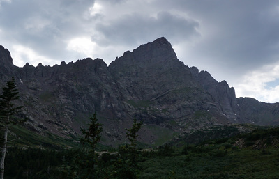
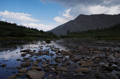
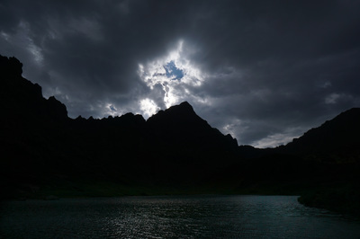
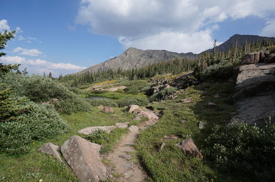
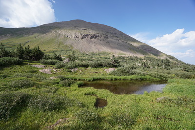
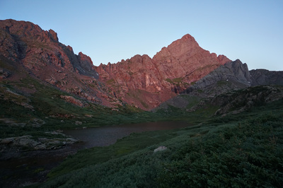
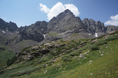
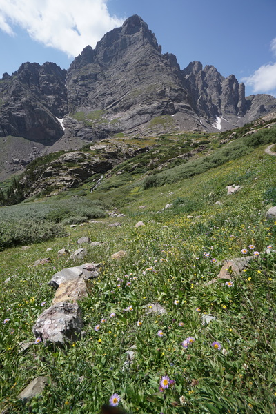
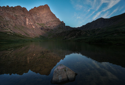
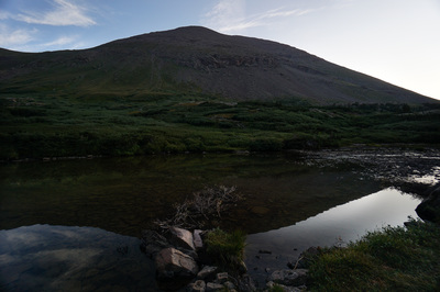
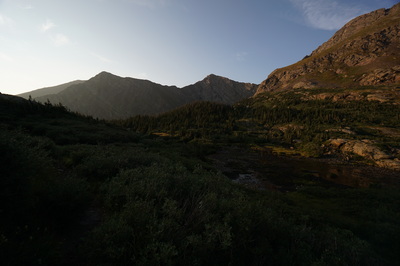
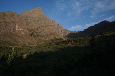
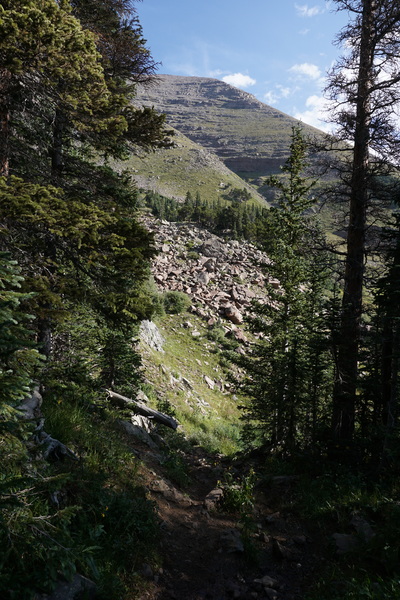
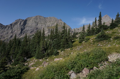
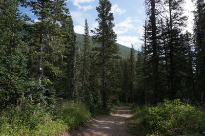
Getting to the lakes is relatively straightforward with the drive up the 4WD road being the biggest challenge. From the upper trailhead follow the wide dirt road for about 2.5 miles to the old trailhead and wilderness boundary. At the second set of trailhead signs you'll see a trail sign on the opposite side of the road. If you go straight here, continuing to follow the road, you'll come out at the shores of the lower South Colony Lake. If you turn right at the sign and follow the single track, you'll reach an area of dispersed campsites above the lower lake. If the lower lake is your destination, stay straight, if you also want to visit the upper lake, the right fork is the most direct way. In visiting the upper lake, the single track trail heads up the basin and immediate bestows awesome views. Your first treat is looking back to Marble Mountain and Milwaukee Peak, up close and personal. As you continue, Broken Hand Peak will loom overhead, followed by the sharp apex of Crestone Needle and Crestone Peak. All the time, you'll be in the shadow of Humboldt Peak to your right. The upper lake is pristine and the shores have many flat rock outcroppings to rest and relax on. If you want a little more hiking and a great view of both lakes, head up the trail to the saddle west of Humboldt Peak. The lower lake has the best views of Crestone Needle and the reflection of the needle in the lake with the red morning alpenglow is a classic Colorado vista. The camping is also more reliable around the lower lake as you are situated just at the edge of treeline. Whether you spend you time at the upper or lower lakes, this basin is amazing and should be experienced by every Colorado hiker. |
- HOME
- ABOUT
-
HIKES BY REGION
-
NATIONAL PARK HIKES
- BENT'S OLD FORT NATIONAL HISTORIC SITE
- BLACK CANYON OF THE GUNNISON NATIONAL PARK
- COLORADO NATIONAL MONUMENT
- CURECANTI NATIONAL RECREATION AREA
- DINOSAUR NATIONAL MONUMENT
- FLORISSANT FOSSIL BEDS NATIONAL MONUMENT
- MESA VERDE NATIONAL PARK
- ROCKY MOUNTAIN NATIONAL PARK
- GREAT SAND DUNES NATIONAL PARK
- HOVENWEEP NATIONAL MONUMENT
- SAND CREEK MASSACRE NATIONAL HISTORIC SITE
- YUCCA HOUSE NATIONAL MONUMENT
- HIKES BY CATEGORY
- NEWS
- WEBCAMS
- $UPPORT GHC
- INTERACTIVE MAP
South Colony Lakes
Sangre De Cristo Wilderness
San Isabel National Forest
Date Hiked: August 21-23, 2015
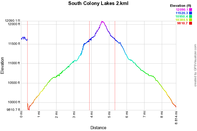
Distance: 7.2 mi (RT)
Elevation Gain: 2,205 ft
Elevation Min/Max: 9,950 to 11,682ft
Trailhead Lat/Long: 37º 58' 35" N; 105º 30' 19" W
Managing Agency: U.S. Forest Service
Fee: None

