GO HIKE COLORADO
Get in Touch:
  • HOME
  • ABOUT
  • HIKES BY REGION
    • DENVER AREA >
      • Denver Mountain Parks
      • Jefferson County Open Space
      • Lakewood Parks
      • Denver Area Greenways
    • BOULDER AREA
    • DOUGLAS COUNTY
    • FORT COLLINS AREA
    • COLORADO SPRINGS AREA
    • FRONT RANGE
    • TENMILE & MOSQUITO RANGES
    • GORE RANGE
    • SANGRE DE CRISTO MOUNTAINS
    • PARK RANGE
    • SAWATCH RANGE
    • ELK MOUNTAINS
    • SAN JUAN MOUNTAINS
    • THE FLAT TOPS
    • GRAND MESA
    • COLORADO PLATEAU
    • EASTERN PLAINS
  • NATIONAL PARK HIKES
    • BENT'S OLD FORT NATIONAL HISTORIC SITE
    • BLACK CANYON OF THE GUNNISON NATIONAL PARK
    • COLORADO NATIONAL MONUMENT
    • CURECANTI NATIONAL RECREATION AREA
    • DINOSAUR NATIONAL MONUMENT
    • FLORISSANT FOSSIL BEDS NATIONAL MONUMENT
    • MESA VERDE NATIONAL PARK
    • ROCKY MOUNTAIN NATIONAL PARK
    • GREAT SAND DUNES NATIONAL PARK
    • HOVENWEEP NATIONAL MONUMENT
    • SAND CREEK MASSACRE NATIONAL HISTORIC SITE
    • YUCCA HOUSE NATIONAL MONUMENT
  • HIKES BY CATEGORY
    • HIKES TO ALPINE LAKES
    • HIKES TO PEAKS & PASSES
    • HIKES THROUGH CANYONS
    • HIKES WITH FALL COLORS
    • HIKES ALONG THE I-70 CORRIDOR
    • HIKES ON PAVED TRAILS
    • HIKES FOR KIDS
    • HIKES TO WATERFALLS
    • HIKES ALONG RIVERS
    • HIKES WITH ROCK FORMATIONS
    • HIKES WITH WILDFLOWERS
    • WINTER HIKES
  • NEWS
  • WEBCAMS
  • $UPPORT GHC
  • INTERACTIVE MAP

South Chicago Creek Trail
Mount Evans Wilderness
Arapaho National Forest

Date Hiked: April 29, 2012

Distance: 4.8 mi (RT)
Elevation Gain: 1,800ft
Elevation Min/Max: 9,906 to 11,734ft
Trailhead Lat/Long: 39.665430 N; 105.631540 W
Managing Agency" U.S. Forest Service
Fee: None

S. Chicago Creek Trail Webpage (USFS)
Picture

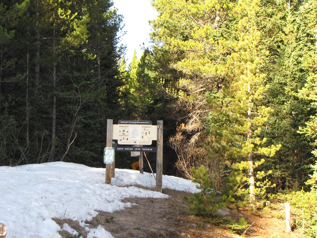
Directions:  From Idaho Springs, take Chicago Creek Road south towards Mt. Evans.  Make a right (west) onto Hefferman Gulch Rd, a good dirt road.  Take this road to the end and you'll find the trailhead.

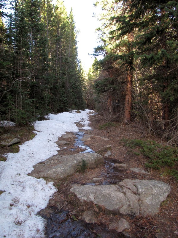
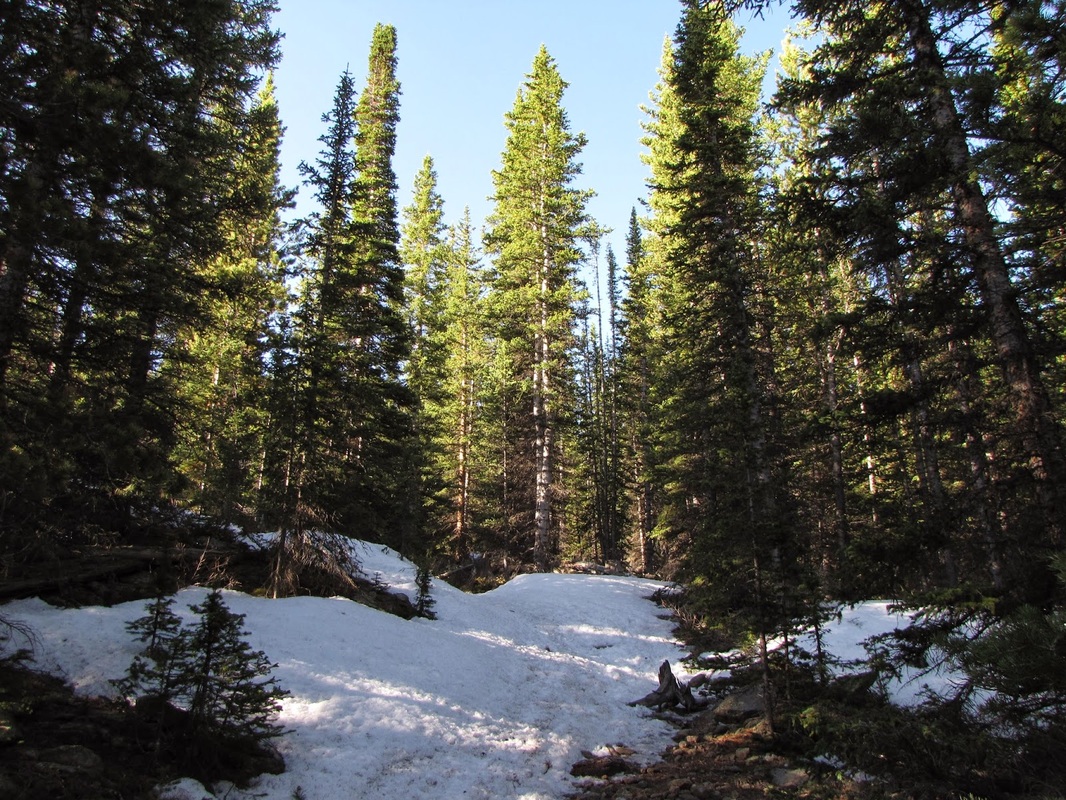
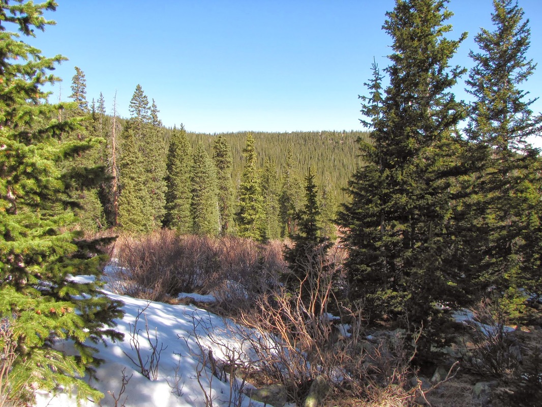
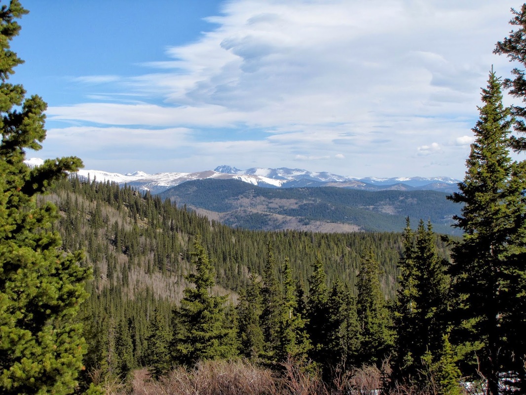
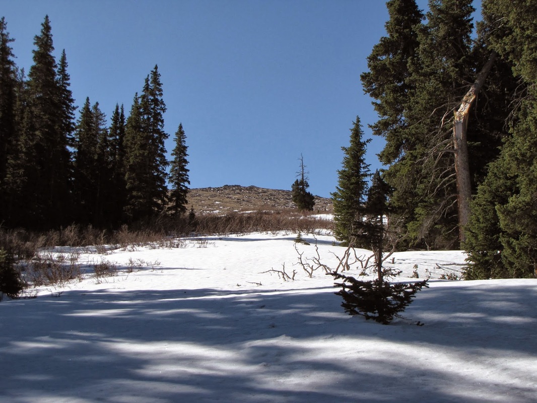
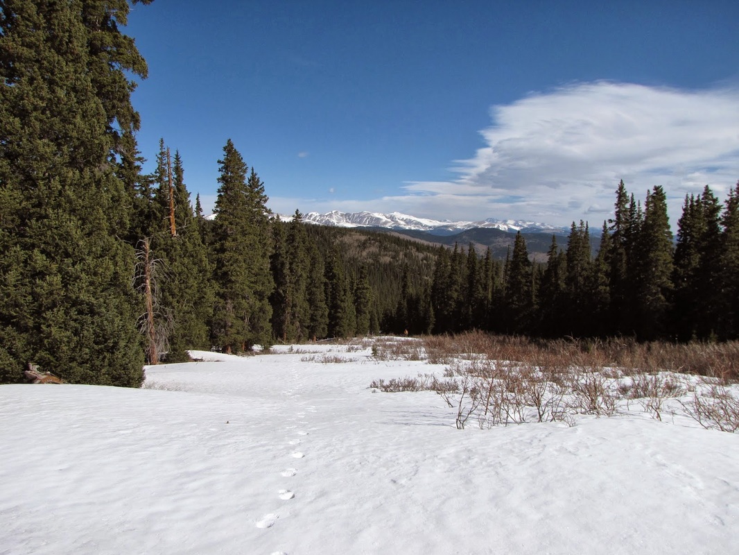
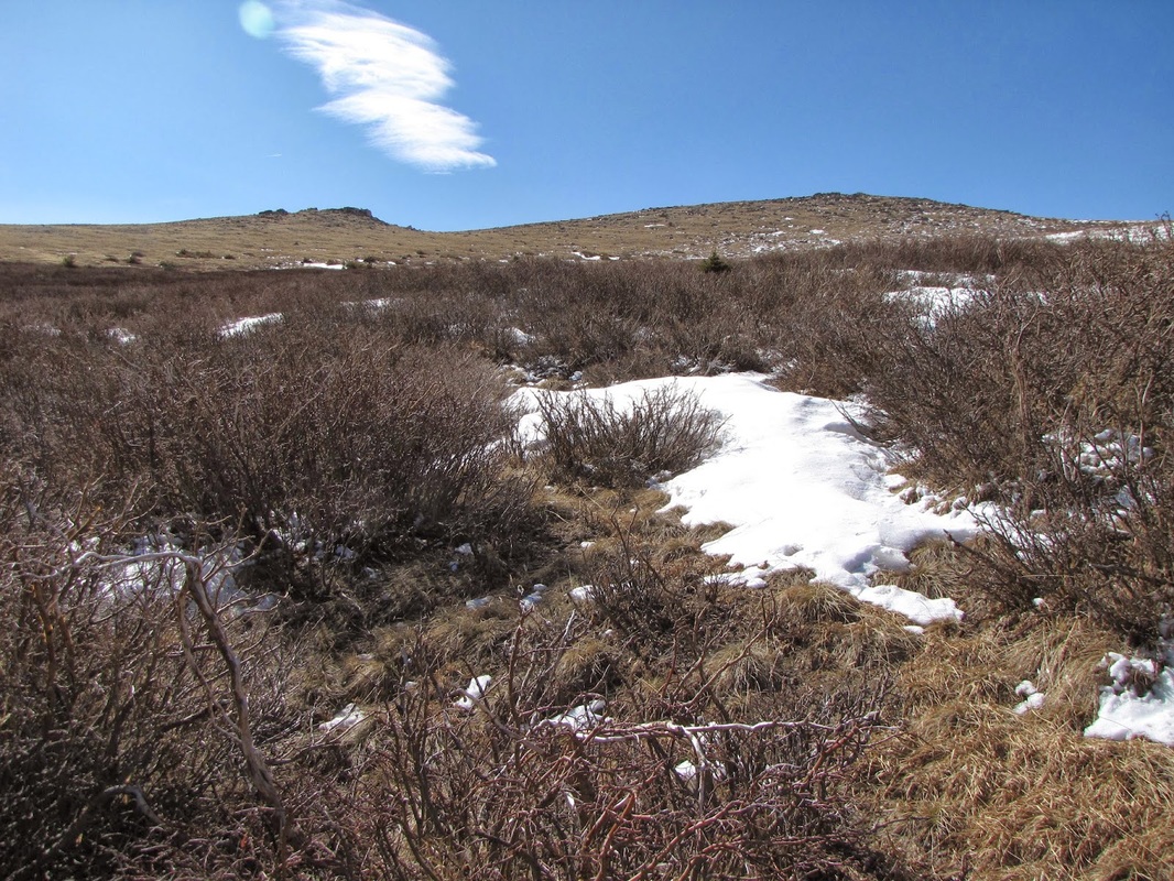
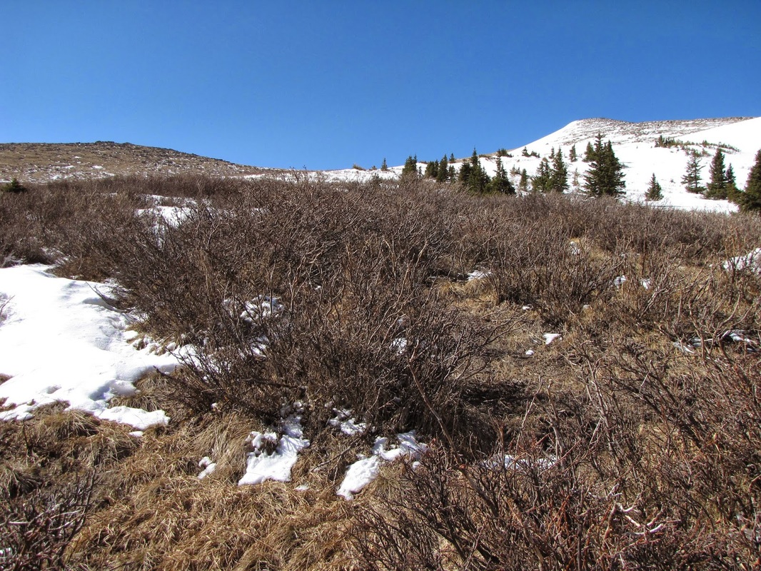
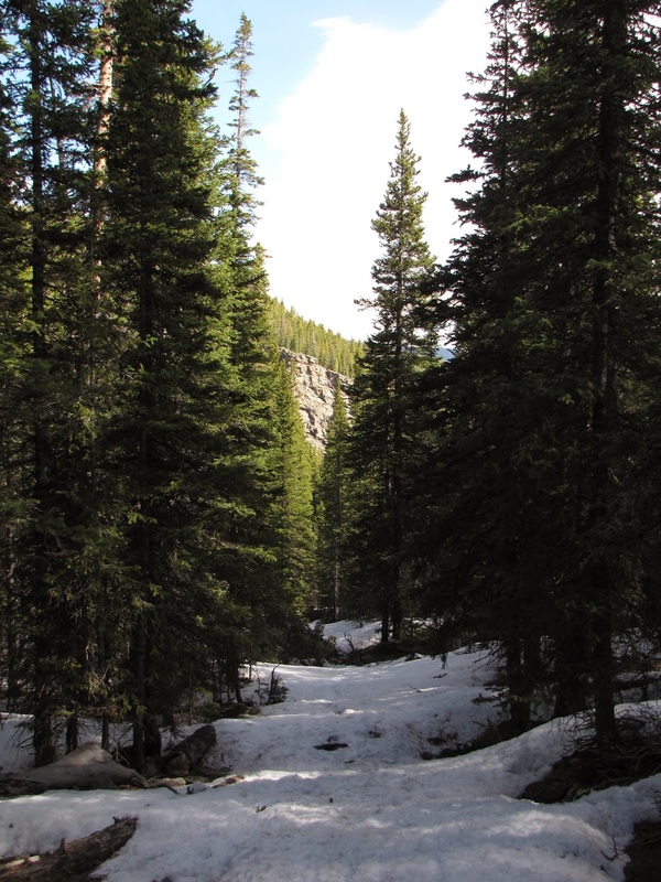
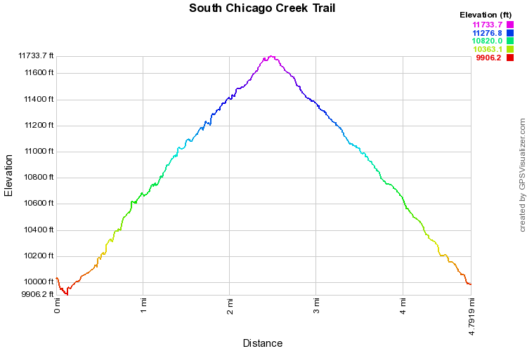
The South Chicago Creek trail provides for a pleasant escape into the Mount Evans Wilderness.  There really is no destination for this hike, about 2.5 miles in the trail disperses and you must choose your own adventure.  Some people use this trail to access Grey Wolf Mountain as the trail basically leads to the base of Grey Wolf.  I took it until the trail ended and turned around.  If I had more time, I would have pushed on for another mile to reach a ridge that, I assume, looks down onto the Chicago Lakes.  Whatever your destination, this hike is all about a pleasant walk in the woods, with barely any people.  For this hike, it's the journey not the destination that makes it worthwhile. 

Powered by Create your own unique website with customizable templates.