|
DIRECTIONS: From Hwy 285 north of Salida, follow the signs to Hecla Junction by turning east on County Road 194 and following it to the end at the Hecla Junction Campground. 194 is a good dirt road but it can get narrow and bumpy. SUV or 4WD recommended but in good weather passengers cars should be able to make it.
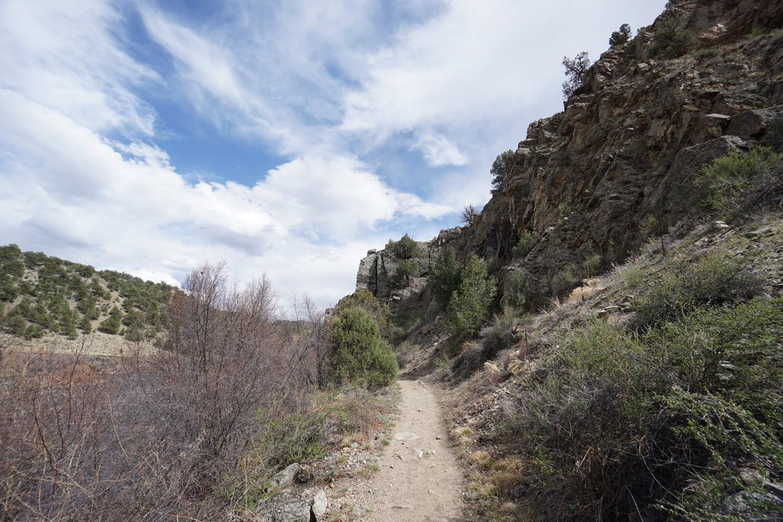
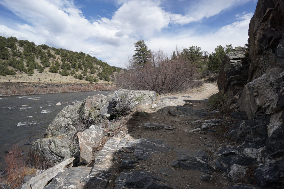
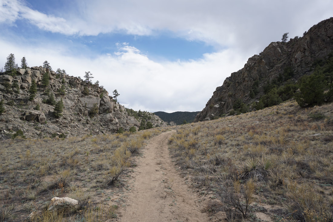
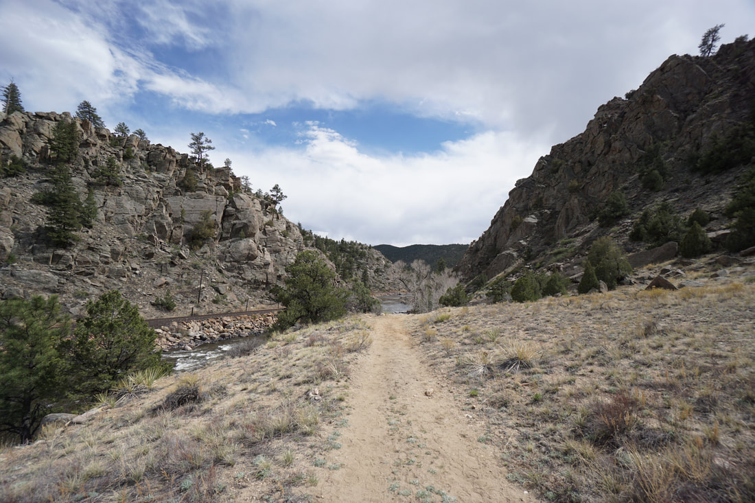
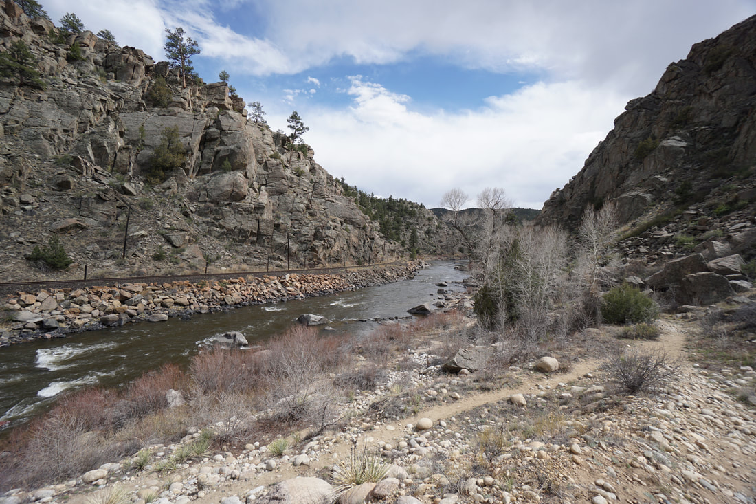
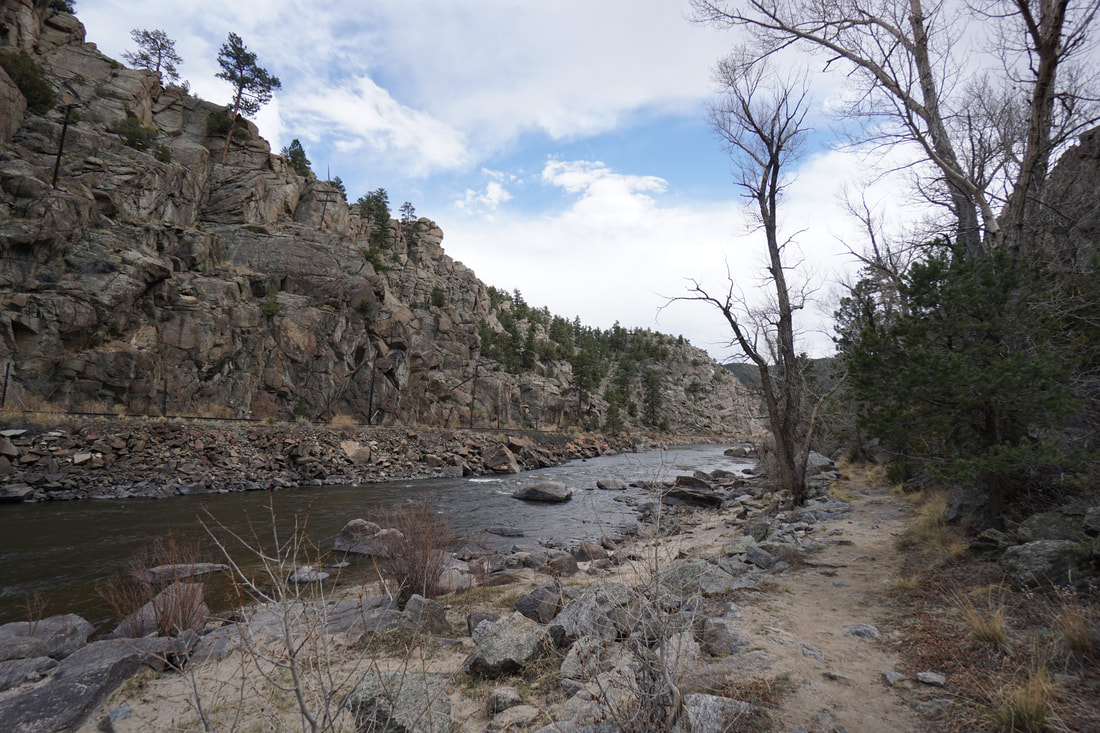
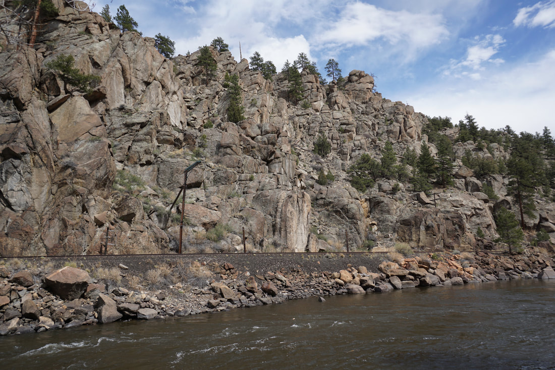
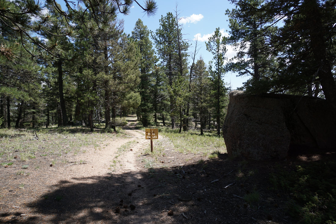
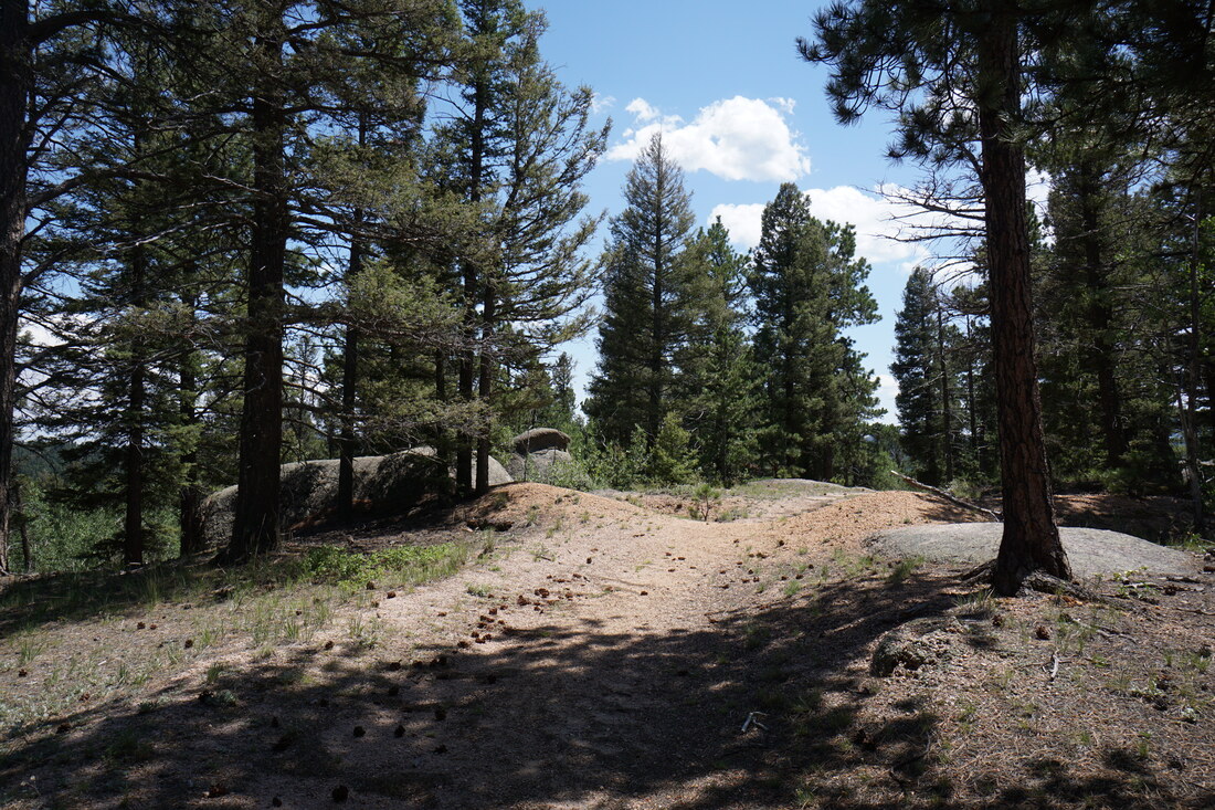
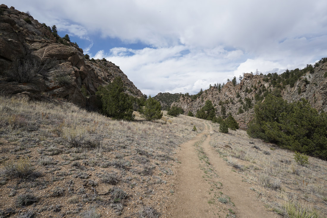
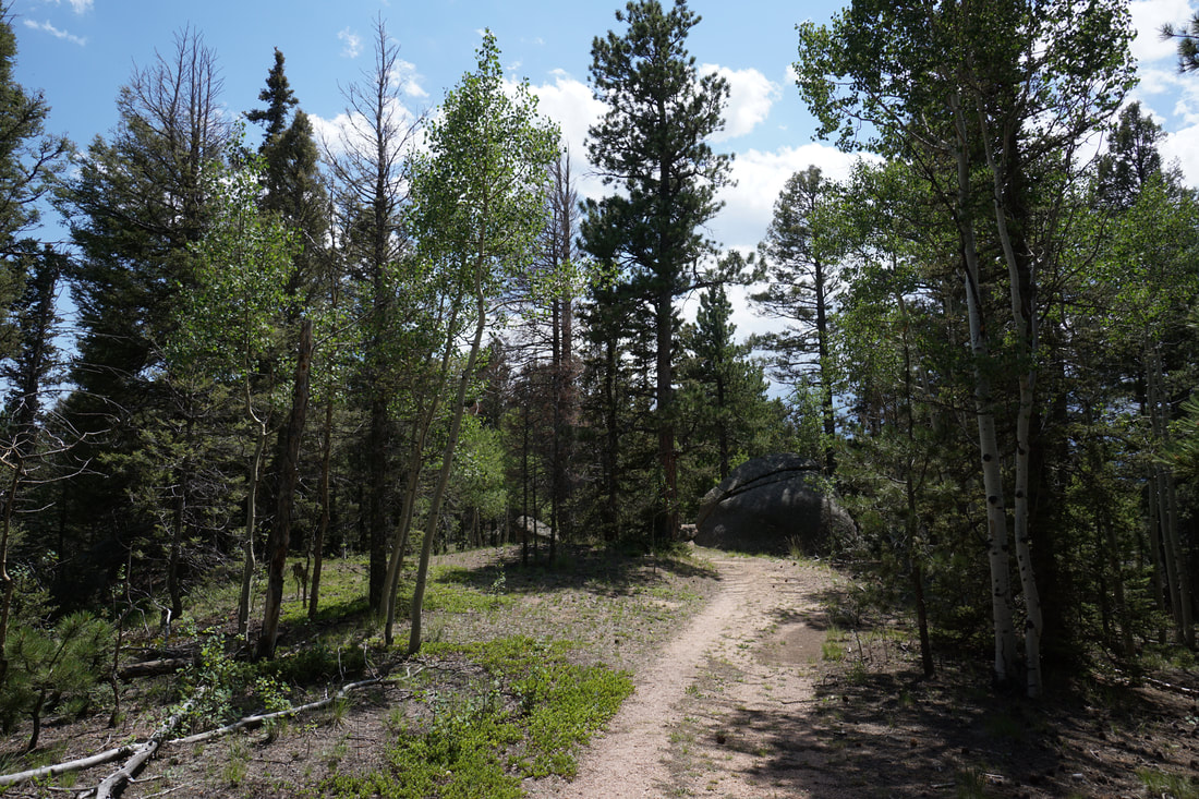
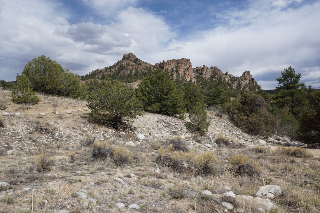
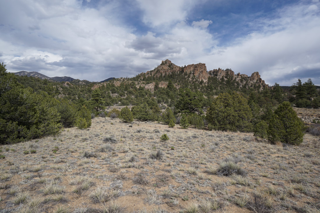
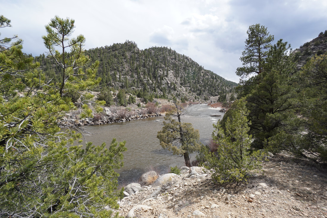
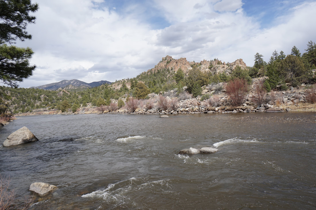
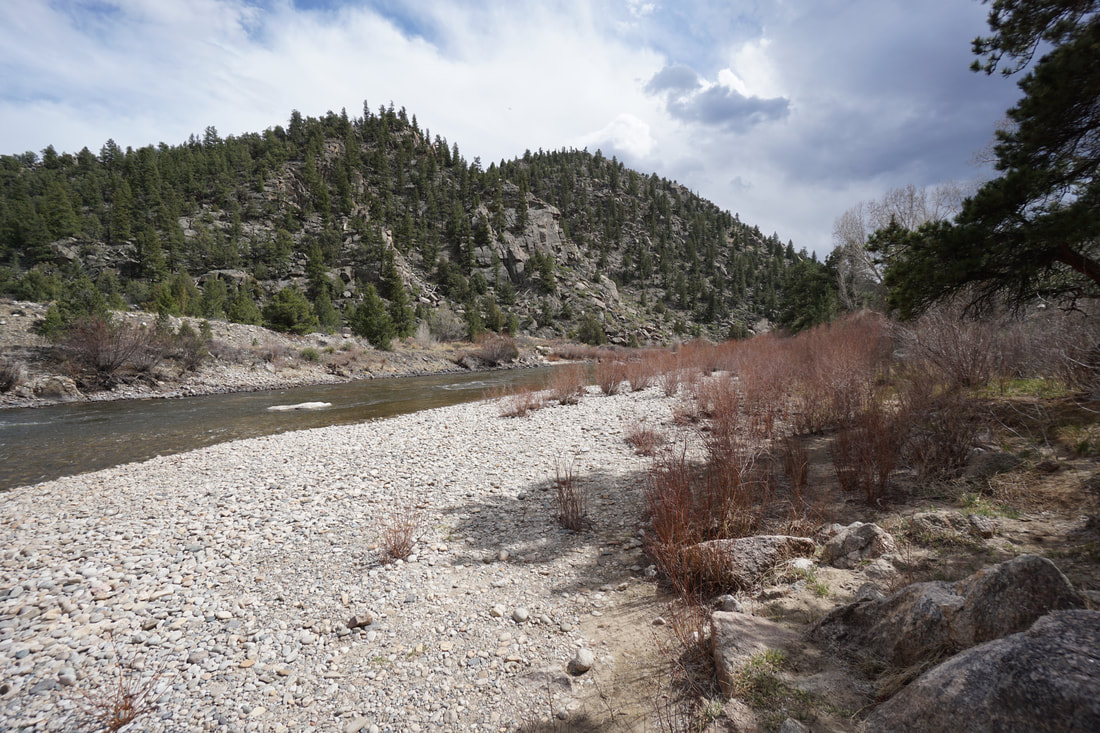
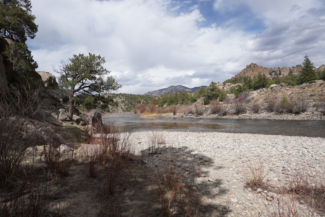
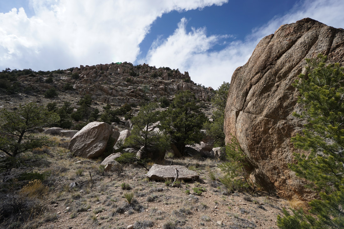
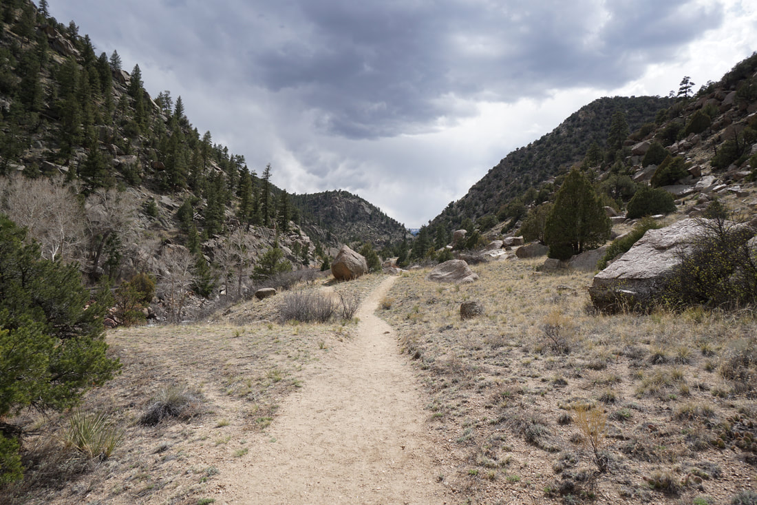
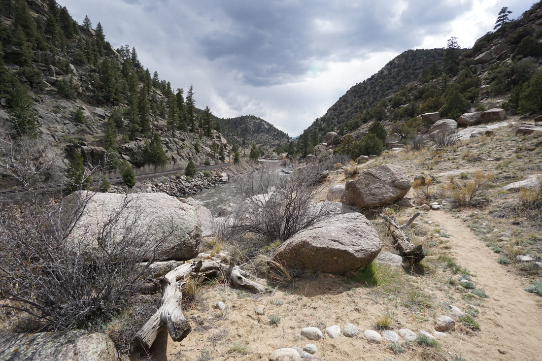
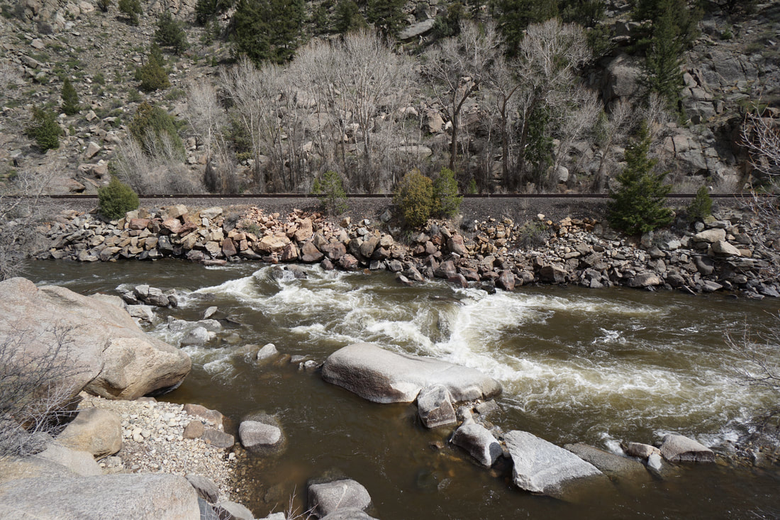
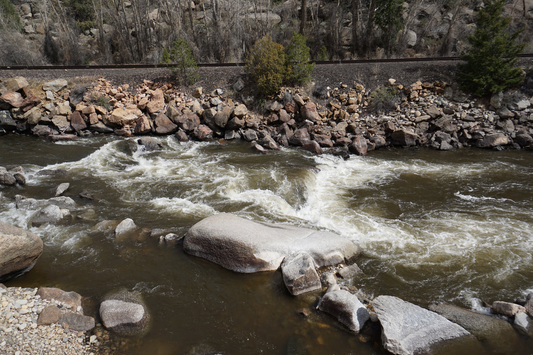
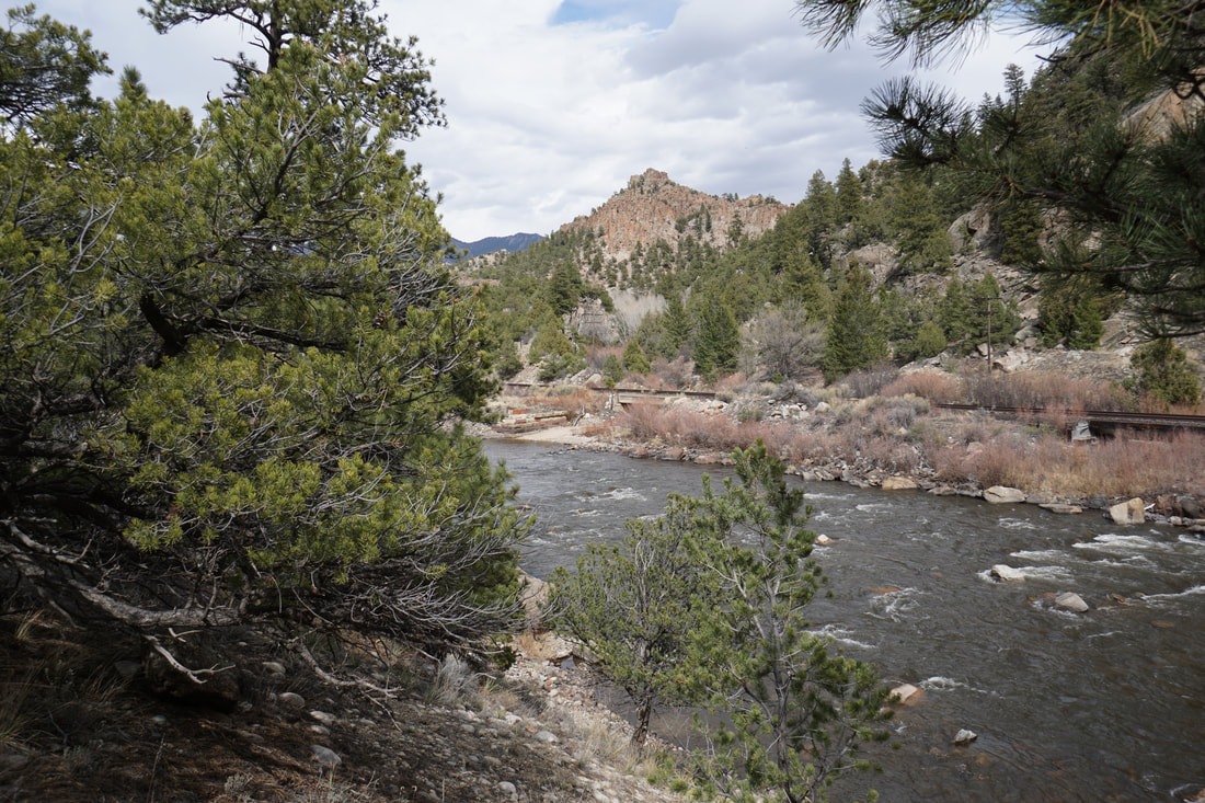
Hecla Junction is a popular destination for rafting and camping. The campground is nestled deep in Browns Canyon and has a short (1 mile) hiking trail along the Arkansas River. This trail is one of the few ways to experience Browns Canyon on dry land. The trail starts from the southern end of the campground (park to the right of the boat ramp) and travels through the canyon to a feature known as Seidel's Suckhole. A little voyeristic, it is fun to sit on a rock and watch rafters navigate the suckhole...
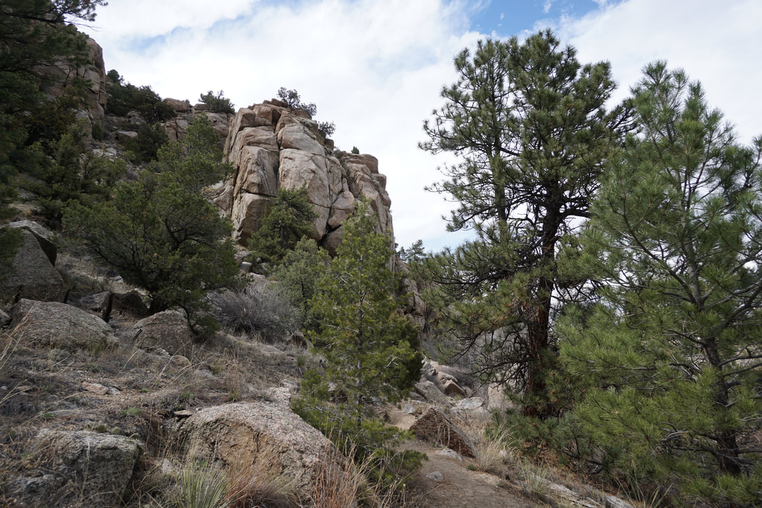
The trail is easy to follow and provides access to the river while also exploring the hillside along the river and the narrow rocky canyon. Red rock formations across the river provide a pleasant backdrop to this easy hike. Hecla Junction is managed as part of the Arkansas Headwaters Recreation Area but it is also within the boundaries of newly designated Browns Canyon National Monument. While you won't see any signs for the national monument, it's nice to know that this area is now even more protected. |
|
- HOME
- ABOUT
-
HIKES BY REGION
-
NATIONAL PARK HIKES
- BENT'S OLD FORT NATIONAL HISTORIC SITE
- BLACK CANYON OF THE GUNNISON NATIONAL PARK
- COLORADO NATIONAL MONUMENT
- CURECANTI NATIONAL RECREATION AREA
- DINOSAUR NATIONAL MONUMENT
- FLORISSANT FOSSIL BEDS NATIONAL MONUMENT
- MESA VERDE NATIONAL PARK
- ROCKY MOUNTAIN NATIONAL PARK
- GREAT SAND DUNES NATIONAL PARK
- HOVENWEEP NATIONAL MONUMENT
- SAND CREEK MASSACRE NATIONAL HISTORIC SITE
- YUCCA HOUSE NATIONAL MONUMENT
- HIKES BY CATEGORY
- NEWS
- WEBCAMS
- $UPPORT GHC
- INTERACTIVE MAP
Seidel's Suckhole Trail
Browns Canyon National Monument
Arkansas Headwaters Recreation Area
Date Hiked: April 18, 2018
Distance: 2 mi (RT)
Elevation Gain: 131 ft
Elevation Min/Max:7,350 to 7,421 ft
Trailhead Lat/Long: 38º 39' 04" N; 106º 03' 04" W
Managing Agency: Bureau of Land Management (BLM)
Fee: Yes