|
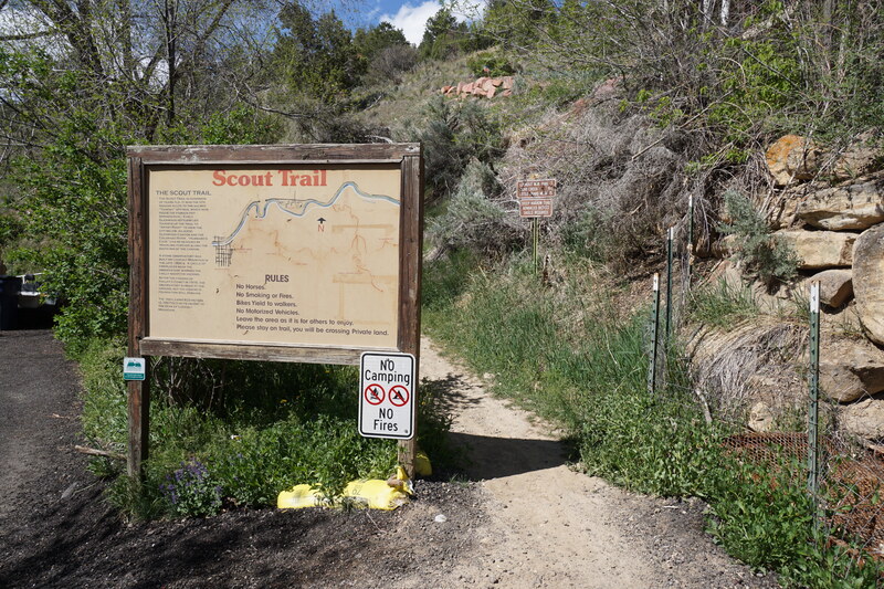
DIRECTIONS: From Glenwood Springs, follow Colorado Highway 82 south over the Colorado River. Turn left (east) on 8th Street and follow it through a residential neighborhood to the end of the road. The trailhead is down a small street (Cleveland Ave) off to the left next to a driveway. There is no parking at the trailhead, you need to park on 8th Ave and walk to the trailhead, please be respectful of private property.
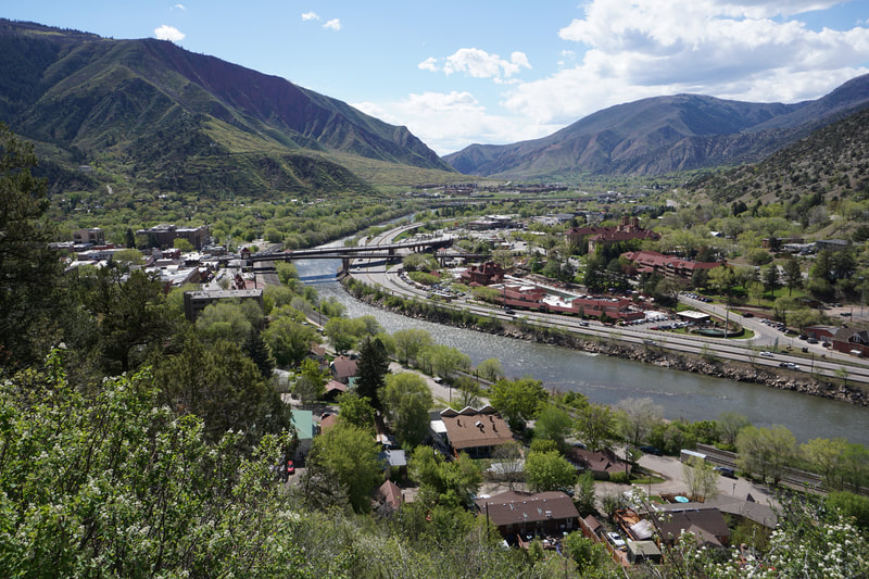
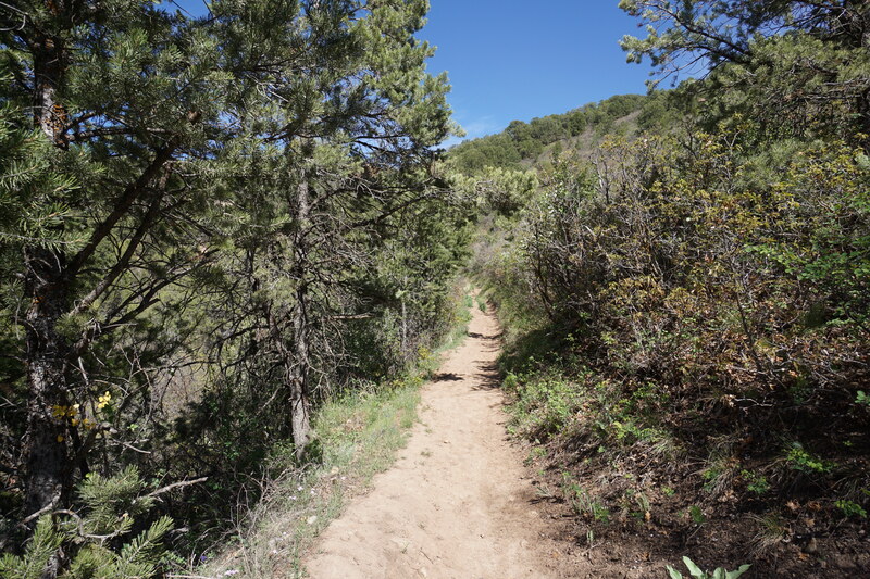
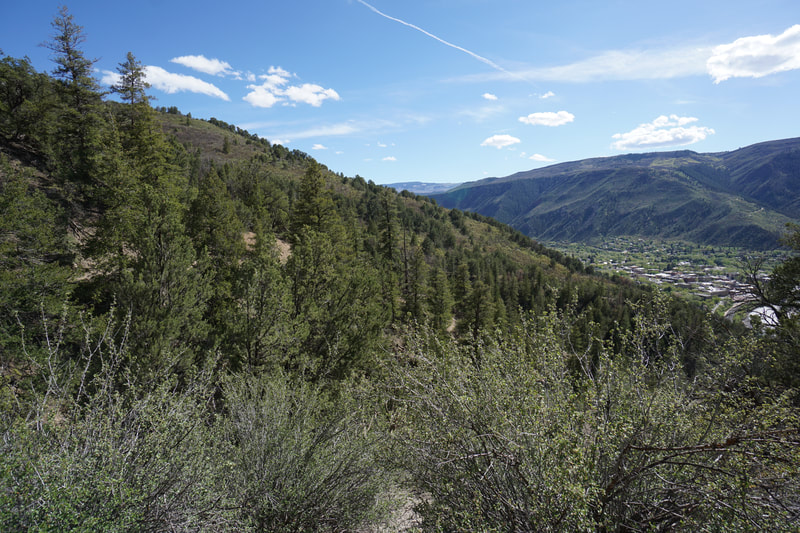
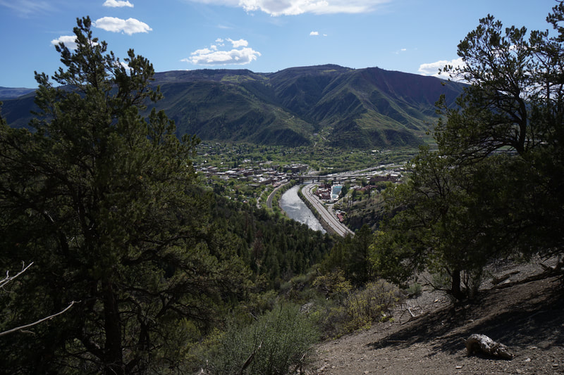
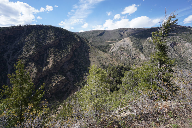
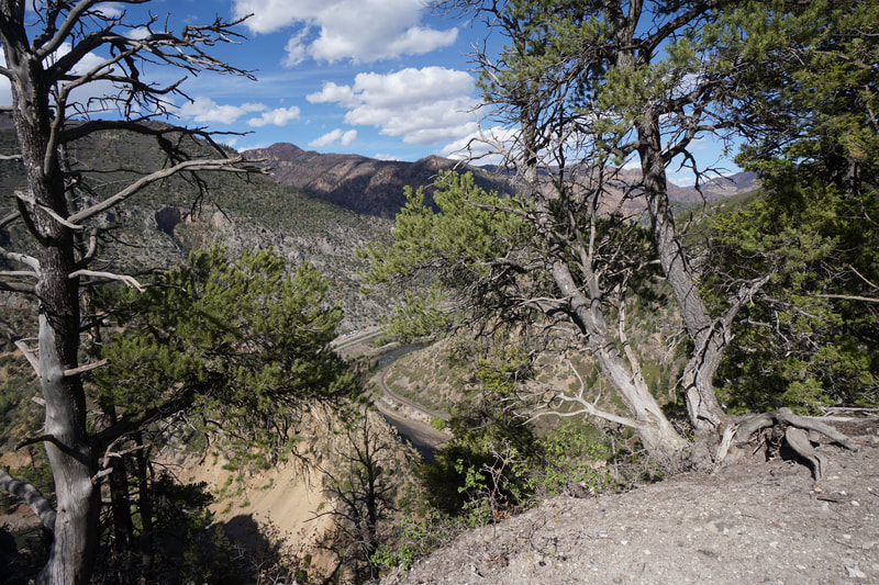
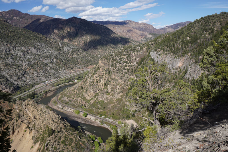
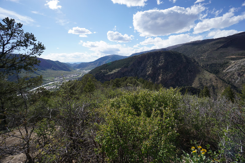
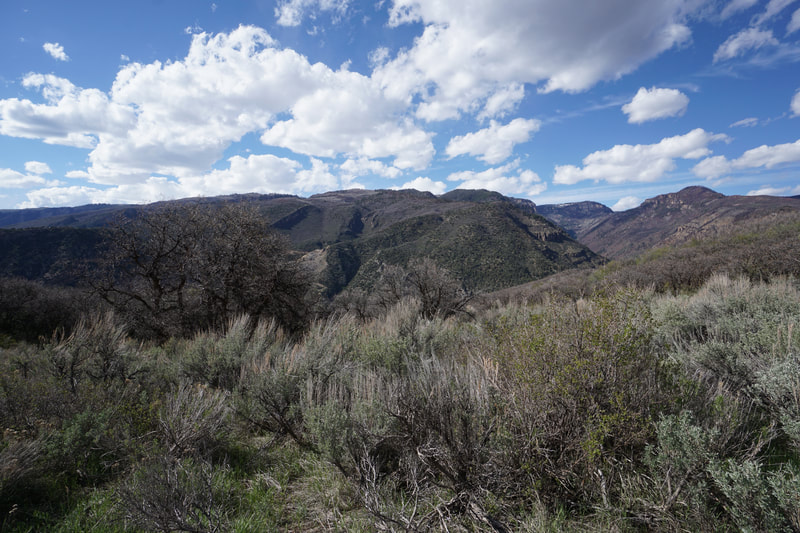
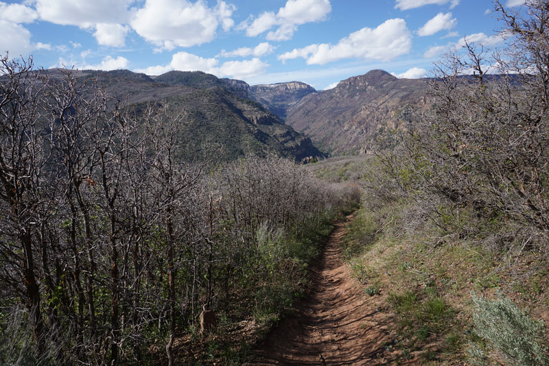
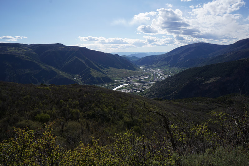
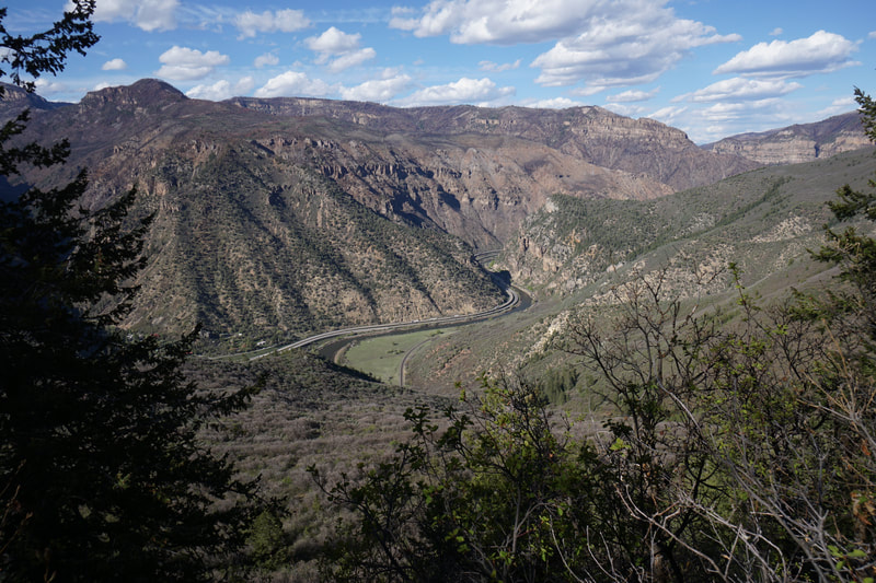
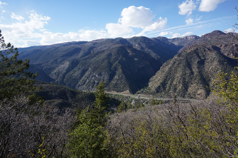
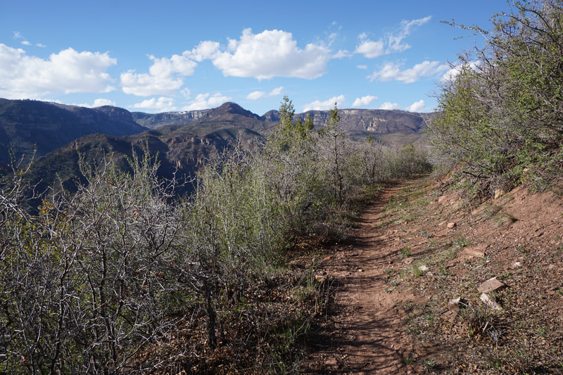
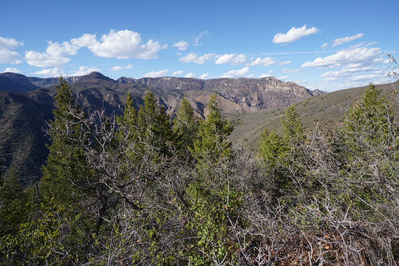
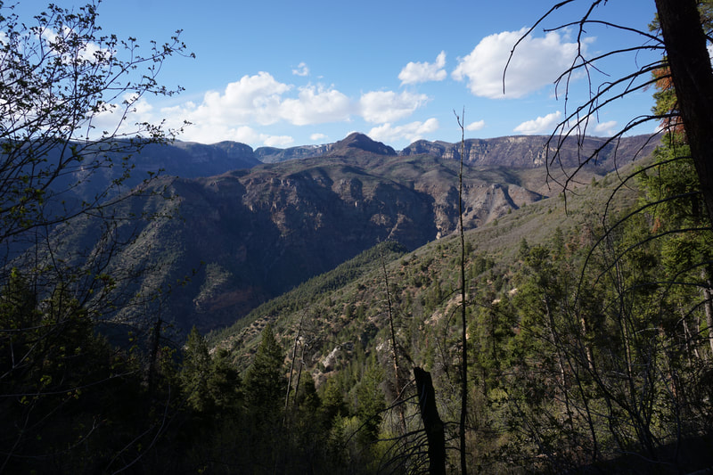
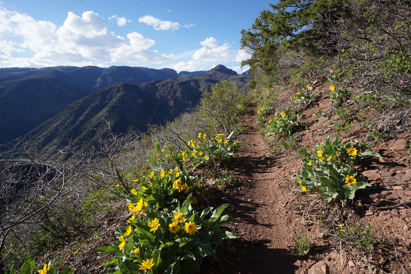
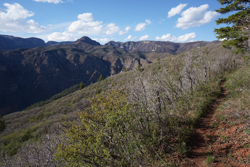
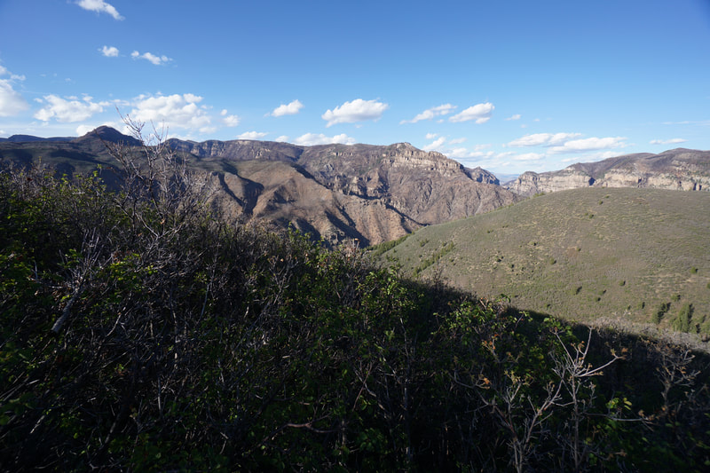
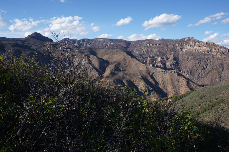
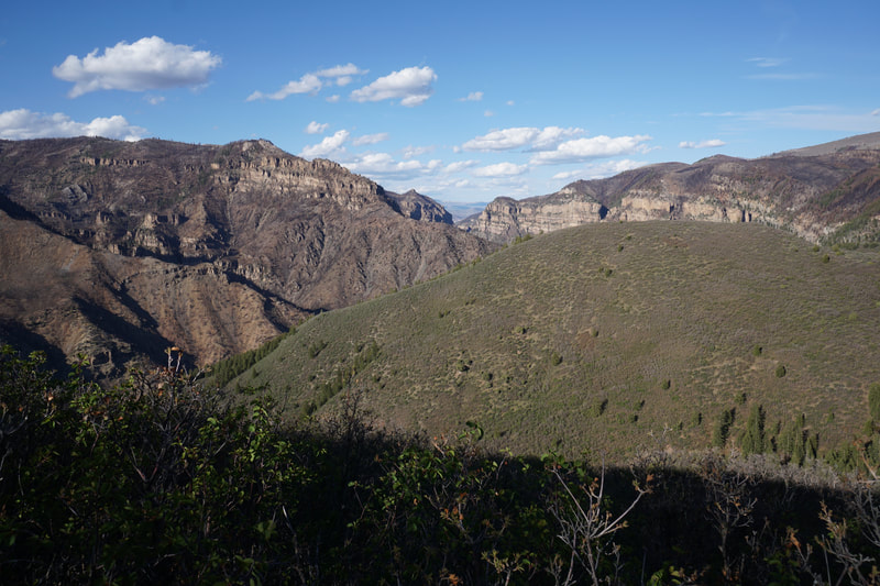
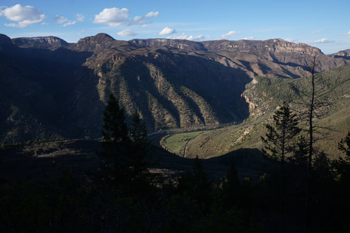
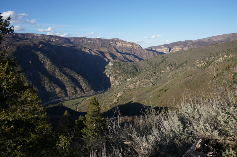
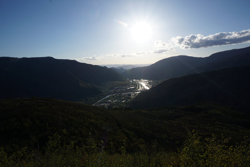
The Scout Trail is a wonderful, albeit long, trail used mostly by Glenwood Springs locals and mostly by mountain bikers. However, this is a great trail and the perfect way to get a birds eye view of Glenwood Springs and the western half of Glenwood Canyon. With few options for hiking through Glenwood Canyon, the Scout Trail provides a rare view of the canyon from up above the southern rim. The views are spectacular and the hike is steep at first but perfectly flat as it heads into (or over) Glenwood Canyon.
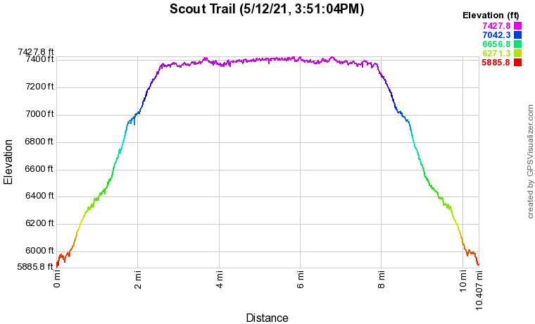
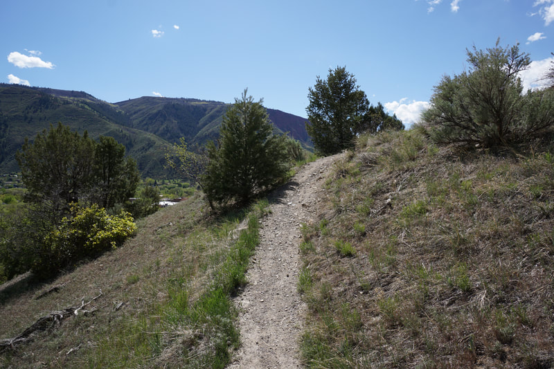
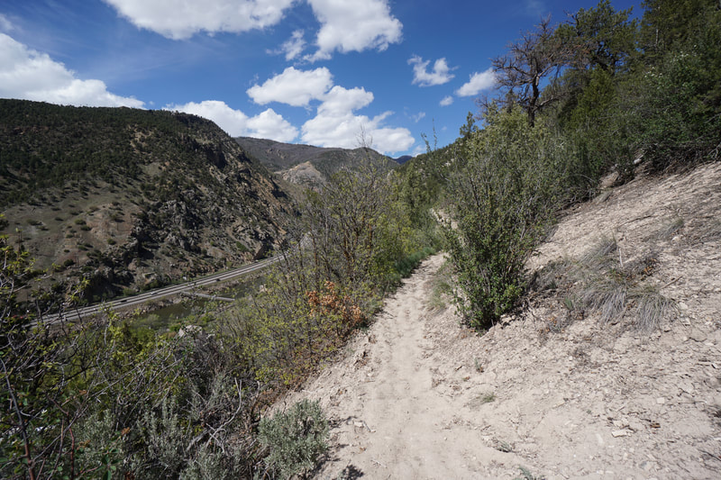
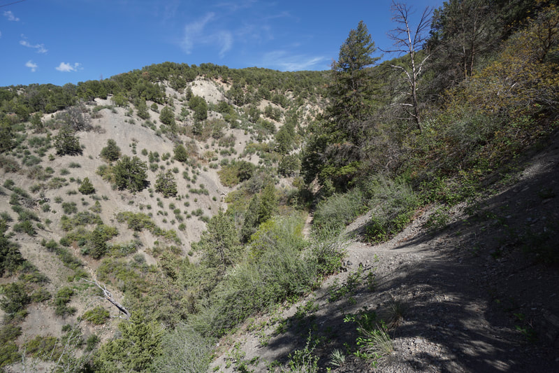
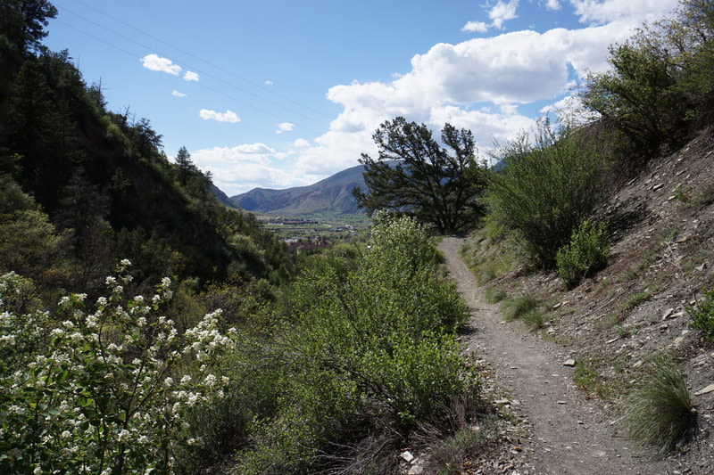
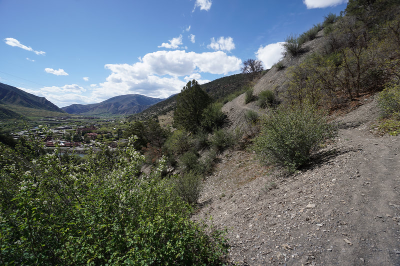
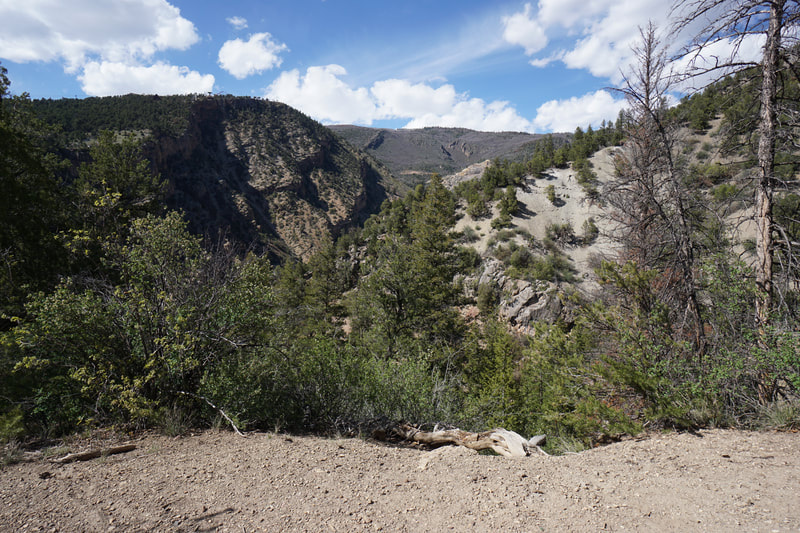
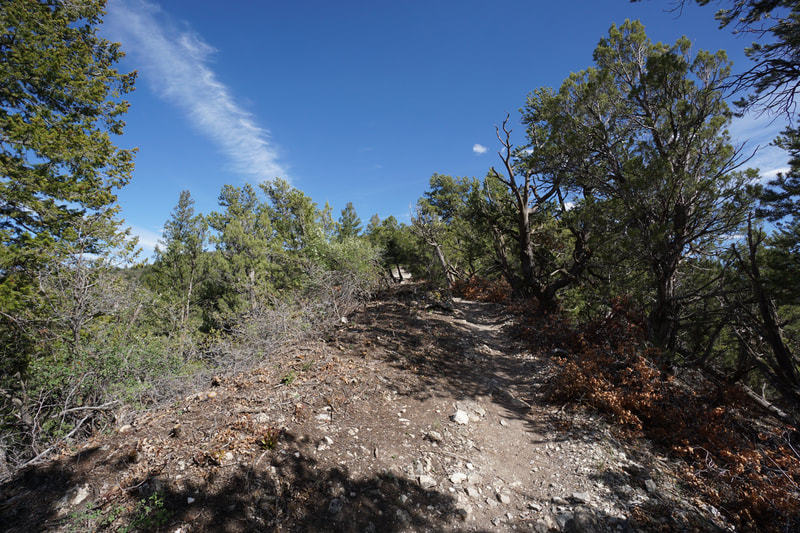
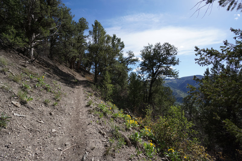
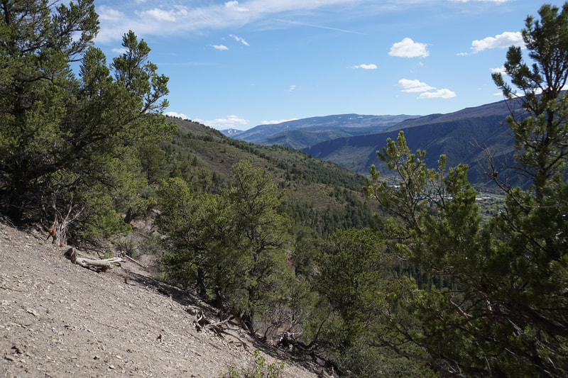
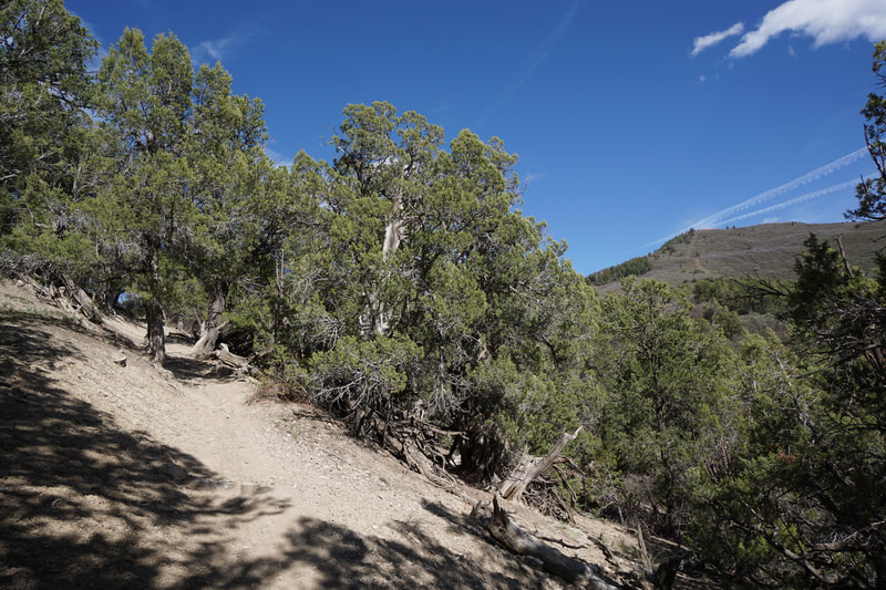
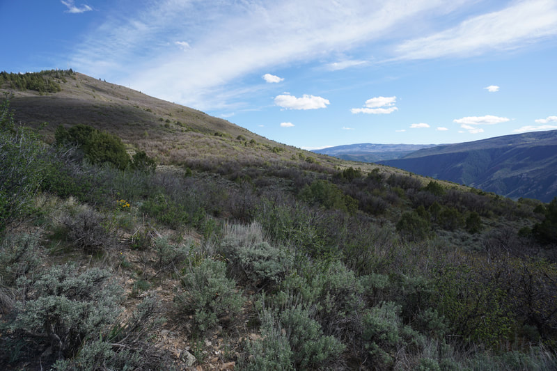
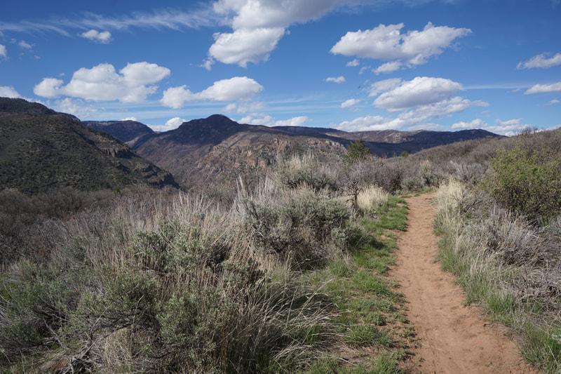
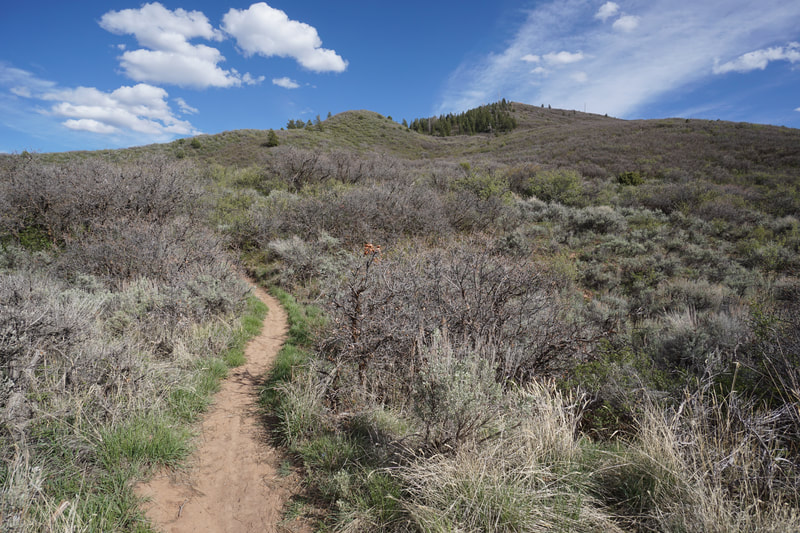
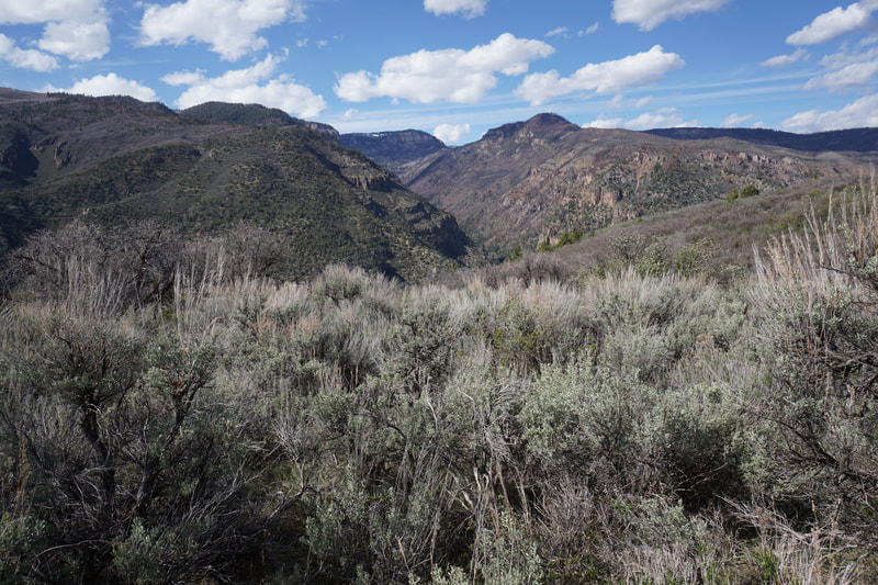
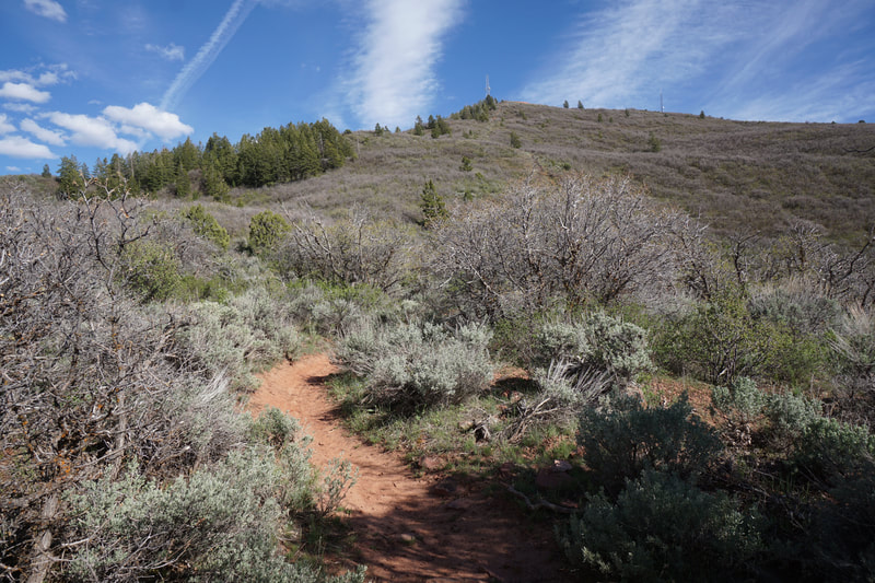
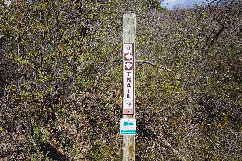
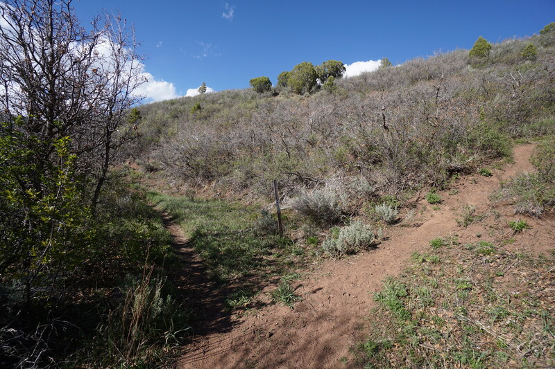
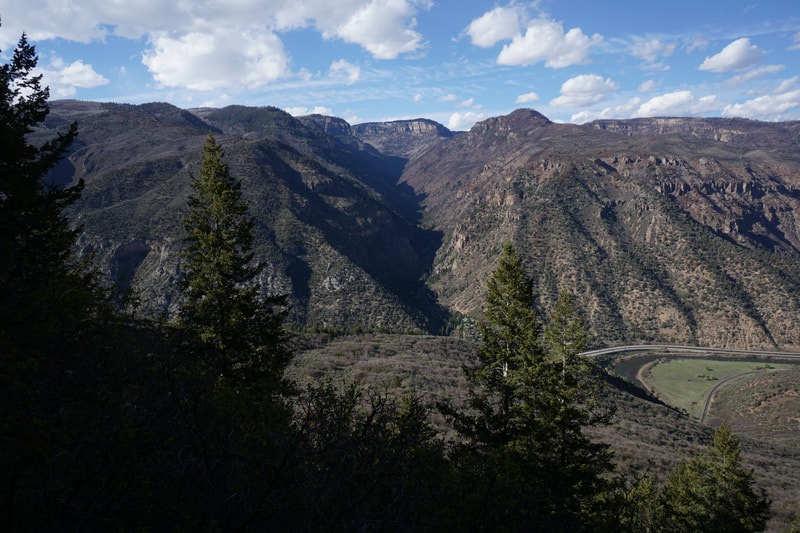
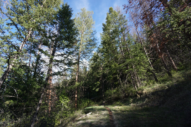
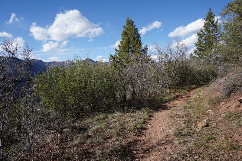
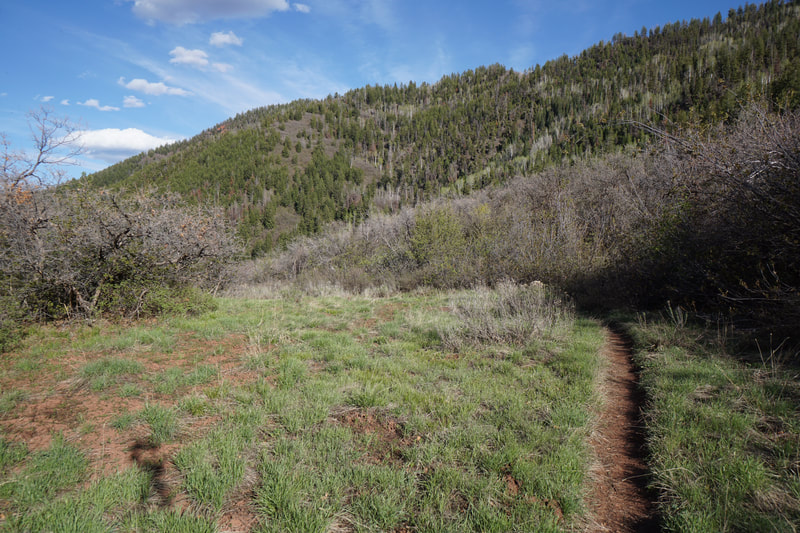
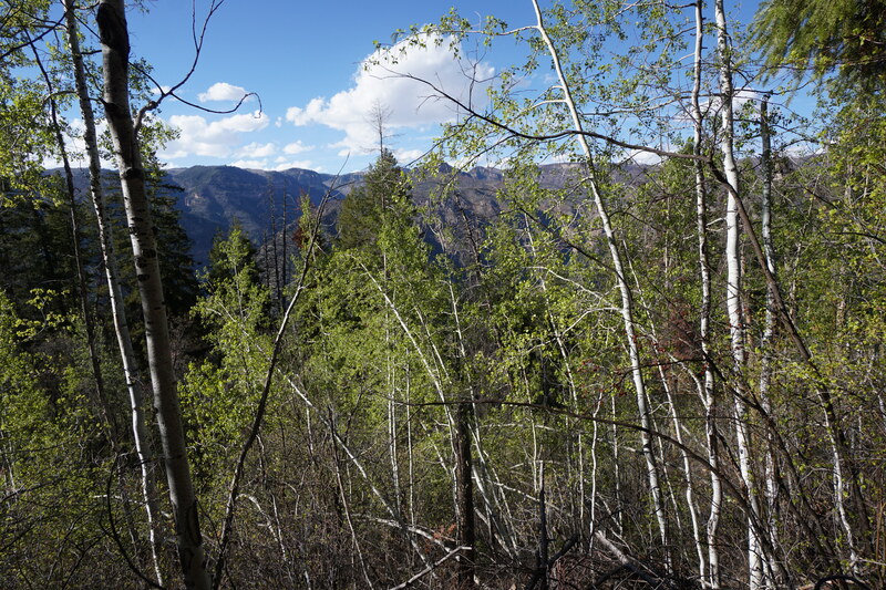
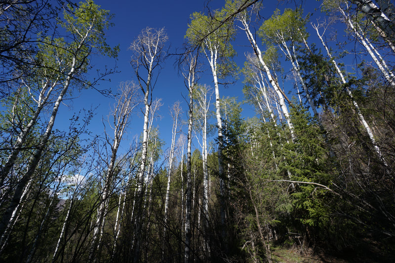
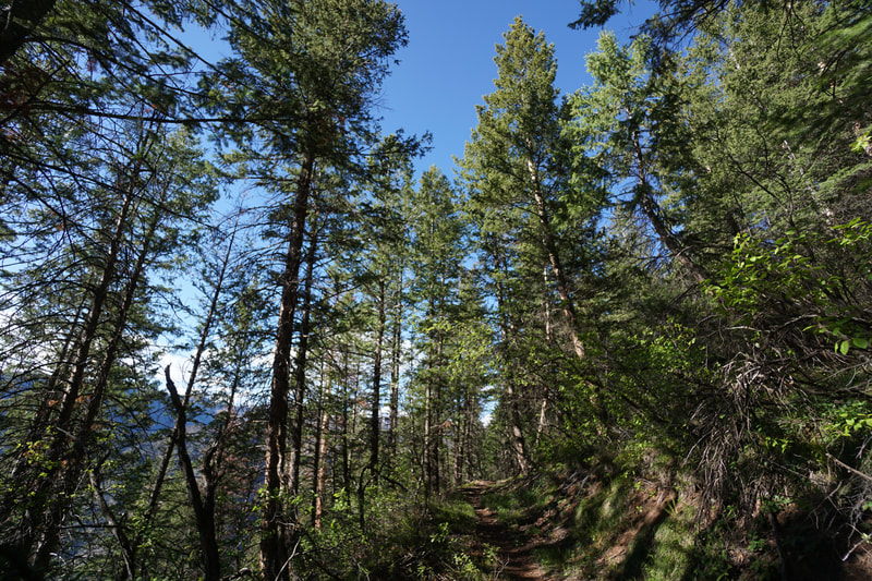
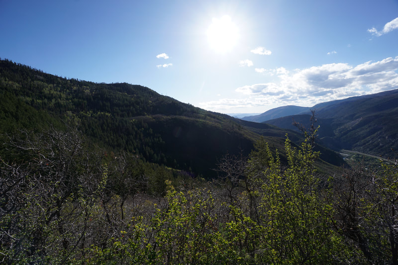
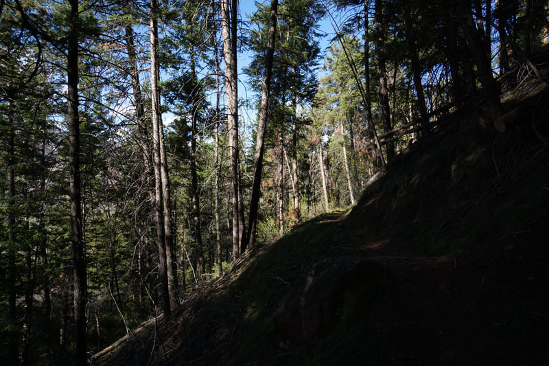
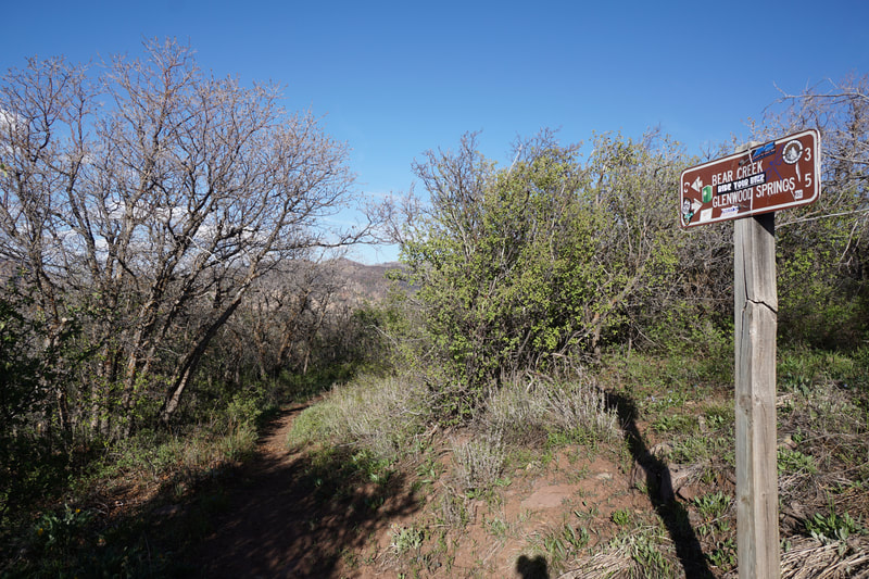
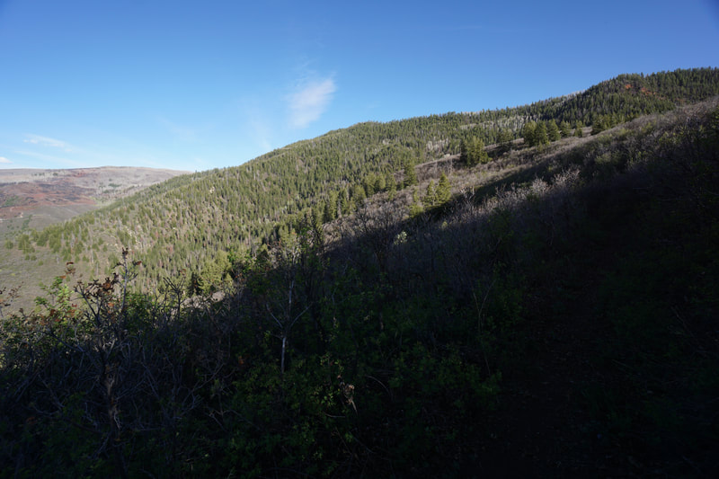
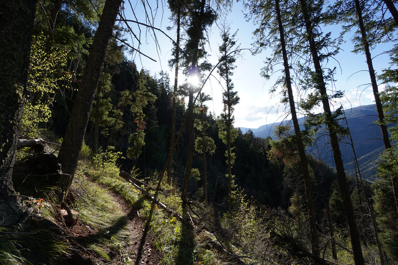
From the trailhead, you immediately start weaving its way along the brushy slopes of Lookout Mountain. The stellar views of Glenwood Springs are just about immediate. After about 1 mile of hiking you arrive at a nice overlook of Glenwood Canyon and the Glenwood Caverns and Adventure Park just across the Colorado River. If you are looking for just a nice easy 2 mile hike, this is a great place to turn around. If you want to climb further and see more sights, keep going. The trail turns to the south and starts climbing up along a steeper but still moderate trail. As you hike the views in all directions just get better and better. The vegetation gets a lower as you climb the slopes allowing for incredible sunset views out west to the Colorado Plateau. This is the toughest part of the hike, gaining 830 ft over the next 1.2 miles. When you top out your arrive at an intersection, head left (east) to stay on the Scout Trail. 400 feet later you'll see an intersection with a trail heading uphill or the Scout Trail continuing straight ahead. This is an important decision making spot. Heading uphill takes you to some towers and a sub-summit of Lookout Mountain. The climb is about half a mile and 500 feet of elevation gain. Continuing on the Scout Trail provides a flat, shady hike through pine and aspen forest and follows high about the rim of Glenwood Canyon. If you stay on the Scout Trail, the hiking is easy and there are some awesome views of the Canyon. As you hike, you'll be able to see straight up No Name Canyon where the Jess Weaver Trail follows No Name Creek. The views of the rocky peaks and flats of Northern Glenwood Canyon are rarely seen but worth a view, especially as the evening light illuminates them from the west. The trail dips in and out of the forest along the slopes three times before reaching the end of the Scout Trail and the start of the Forest Hollow Trail. There are beautiful aspen groves along the way and great canyon views. The eastern views at the intersection of the Forest Hollow Trail are wonderful and you get a decent view down into Grizzly Creek Canyon as well. The downside is that this is 5 miles from the trailhead, a long day hike for sure. However, since the middle five miles is flat, the hiking is not difficult and makes for a pleasant day in the mountains. This hike is overlooked by visitors to Glenwood Springs but it is one of the best ways to see Glenwood Canyon. If you are up for a long hike, I can think of none better in Glenwood Springs. |
- HOME
- ABOUT
-
HIKES BY REGION
-
NATIONAL PARK HIKES
- BENT'S OLD FORT NATIONAL HISTORIC SITE
- BLACK CANYON OF THE GUNNISON NATIONAL PARK
- COLORADO NATIONAL MONUMENT
- CURECANTI NATIONAL RECREATION AREA
- DINOSAUR NATIONAL MONUMENT
- FLORISSANT FOSSIL BEDS NATIONAL MONUMENT
- MESA VERDE NATIONAL PARK
- ROCKY MOUNTAIN NATIONAL PARK
- GREAT SAND DUNES NATIONAL PARK
- HOVENWEEP NATIONAL MONUMENT
- SAND CREEK MASSACRE NATIONAL HISTORIC SITE
- YUCCA HOUSE NATIONAL MONUMENT
- HIKES BY CATEGORY
- NEWS
- WEBCAMS
- $UPPORT GHC
- INTERACTIVE MAP
Scout Trail
City of Glenwood Springs & BLM Public Lands
Date Hiked: May 12, 2021
Distance: 10 mi (RT)
Elevation Gain: 1,500 ft
Elevation Min/Max: 5,937 to 7,412 ft
Trailhead Lat/Long: 39.54686, -107.31855
Managing Agency: City of Glenwood Springs & BLM
Fee: None

