|
|
|
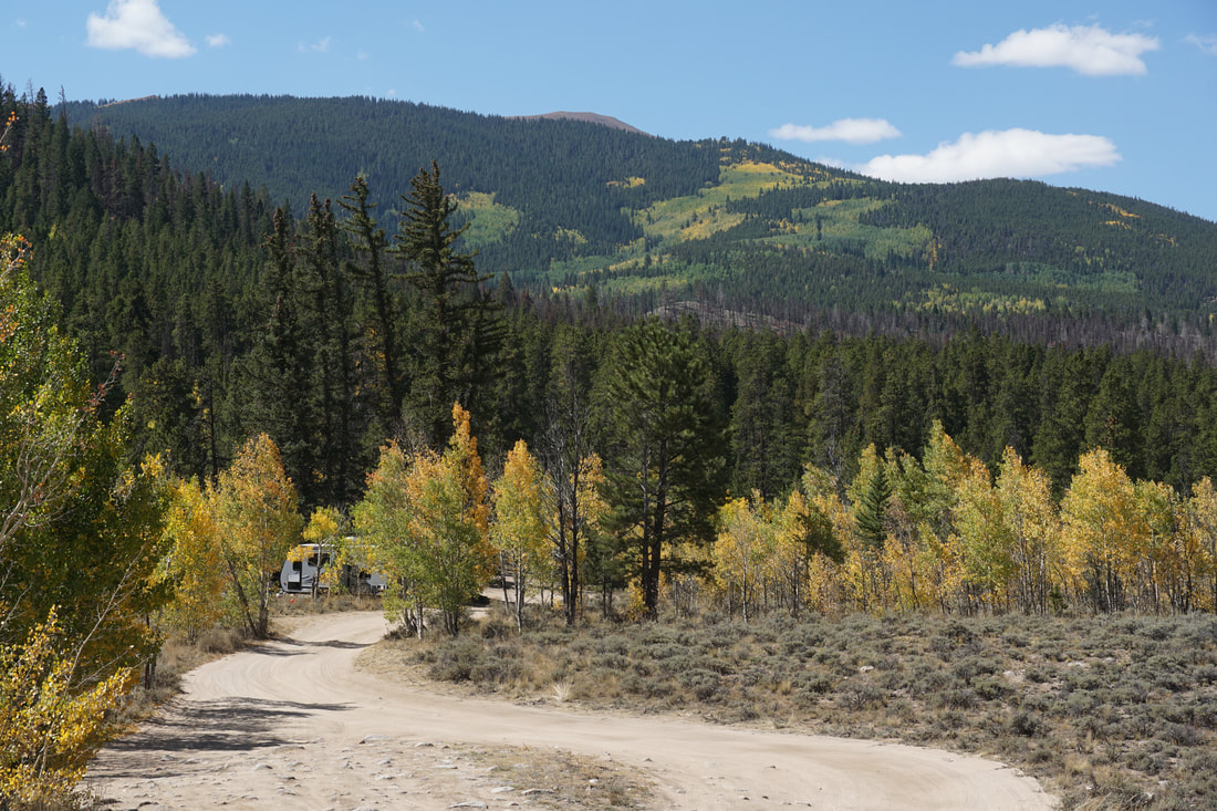
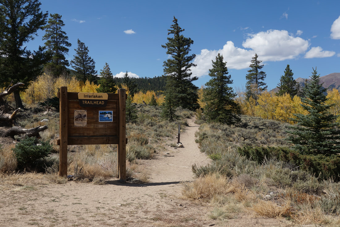
DIRECTIONS: From Hwy 24 in Woodland Park, CO, head north on S. Baldwin Street which becomes County Road 22 and then becomes Rampart Range Road. Turn Right on Loy Creek Road following signs for Rampart Reservoir. Follow Loy Creek Road to the 4 way junction with Rampart Range Road. The route up to this point is on paved roads. At the junction stay straight onto Rd 307. This road is a good dirt road and should be passable to most vehicles in good weather. Follow 307 for 3 miles to the trailhead. The last bit of road requires high clearance but there is parking before the really tough spots and its not far to walk. We made it to the trailhead in our Subaru Forester without any problems.
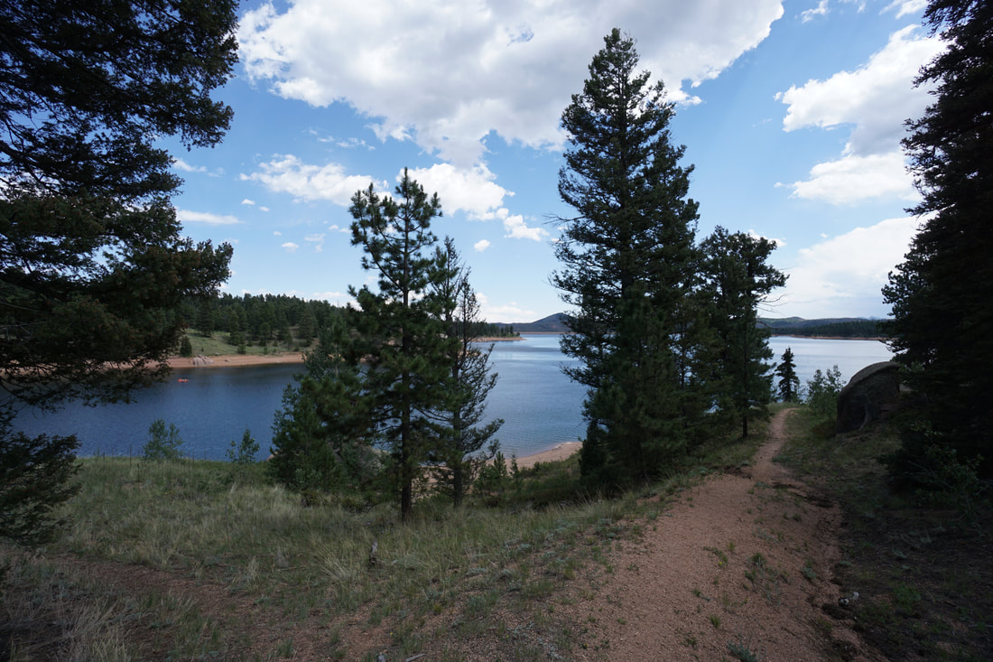
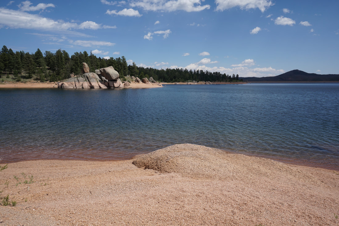
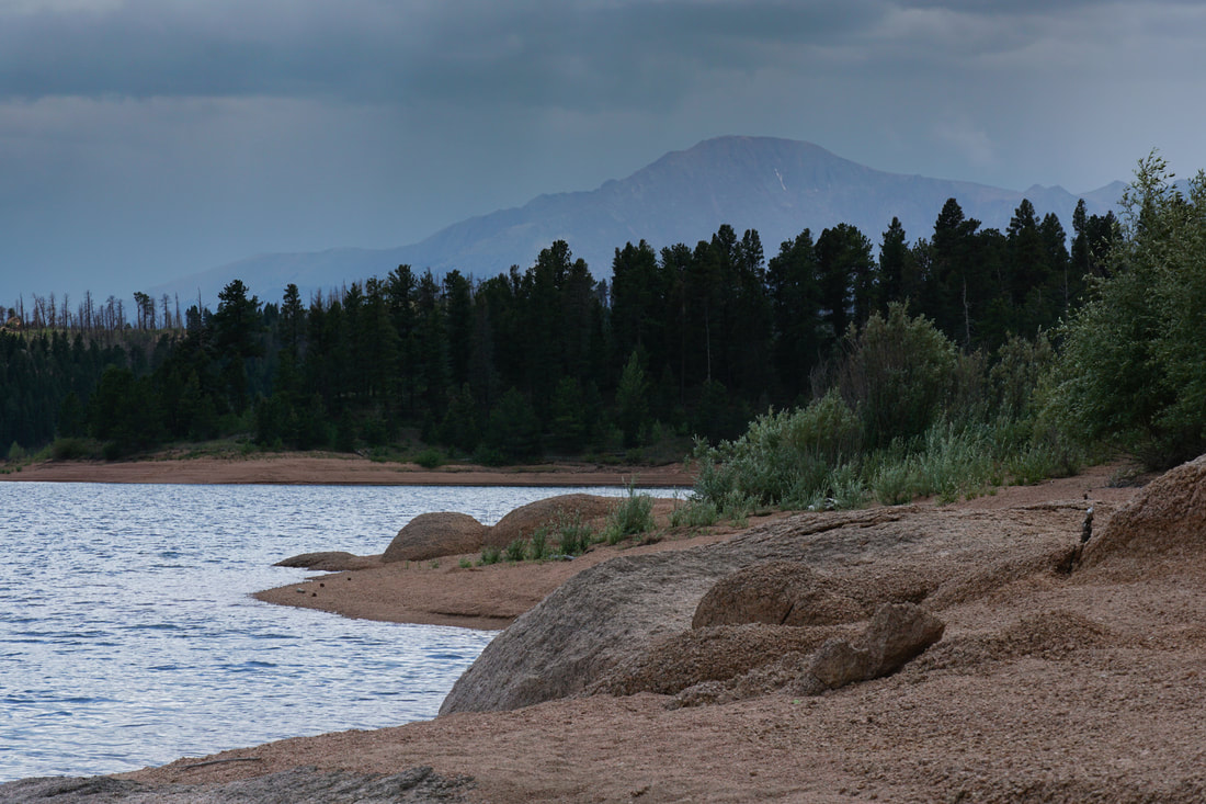
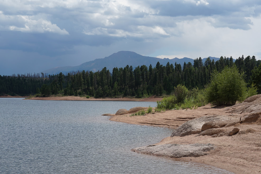
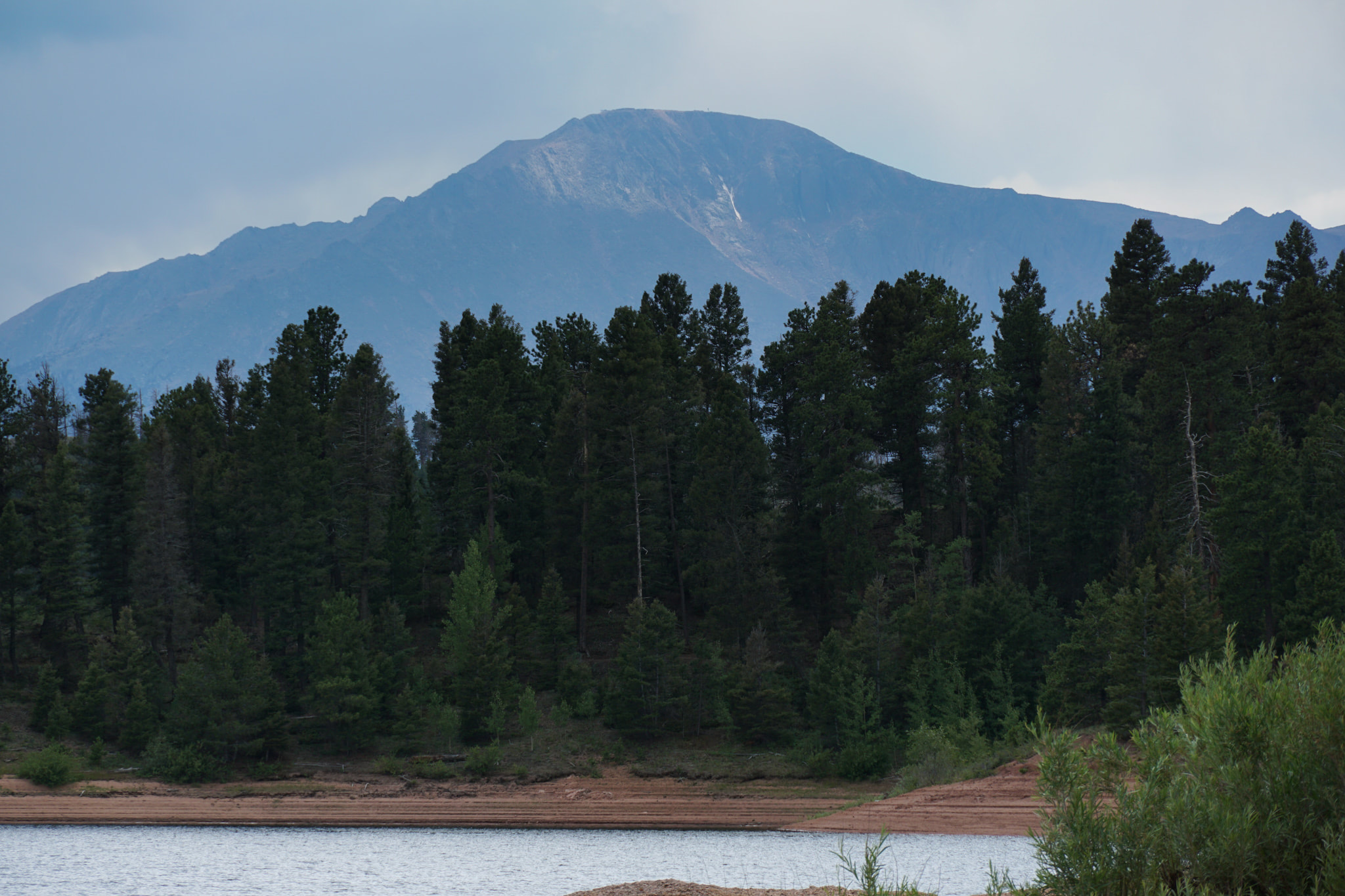
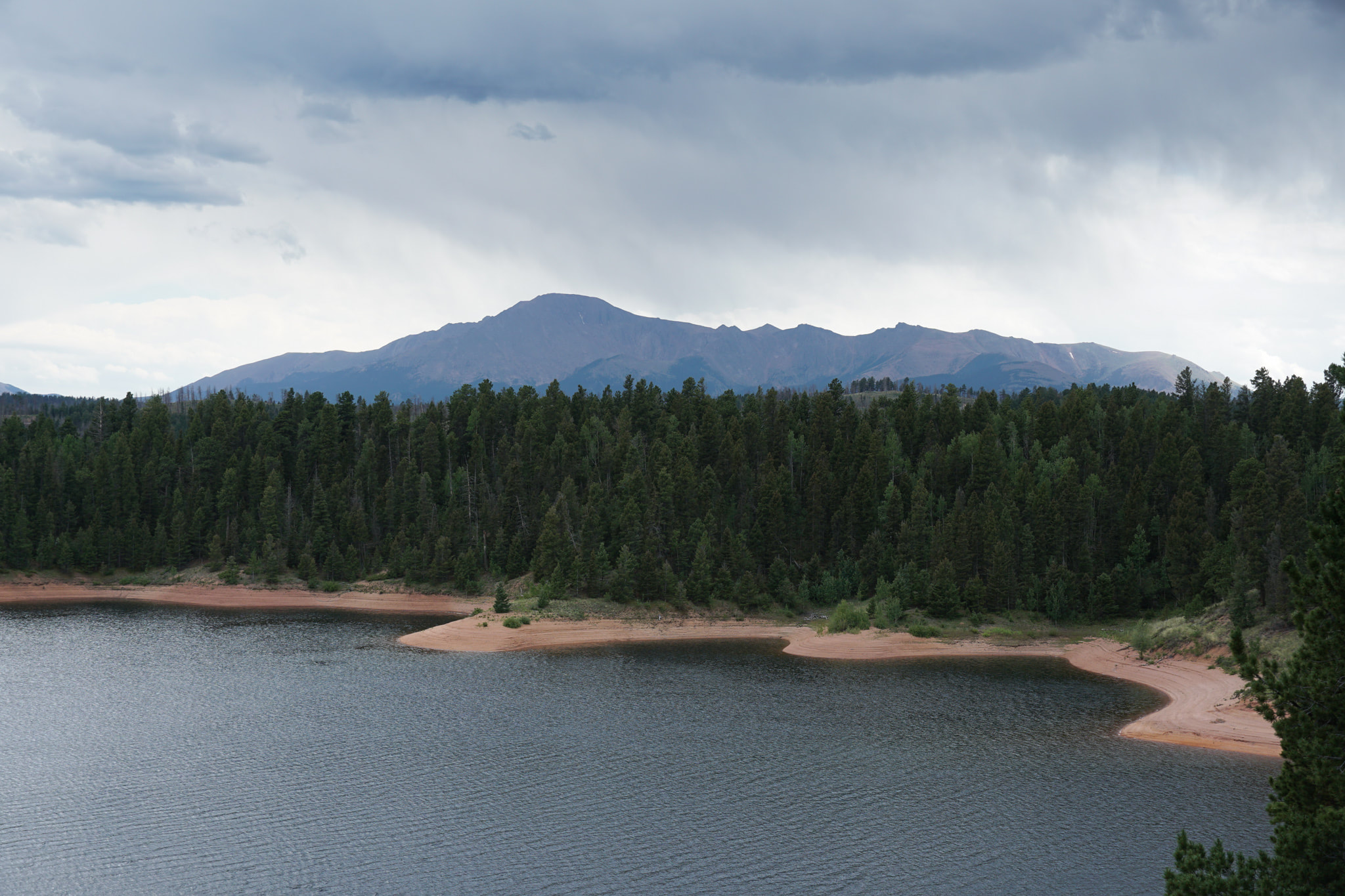
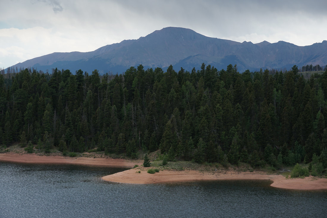
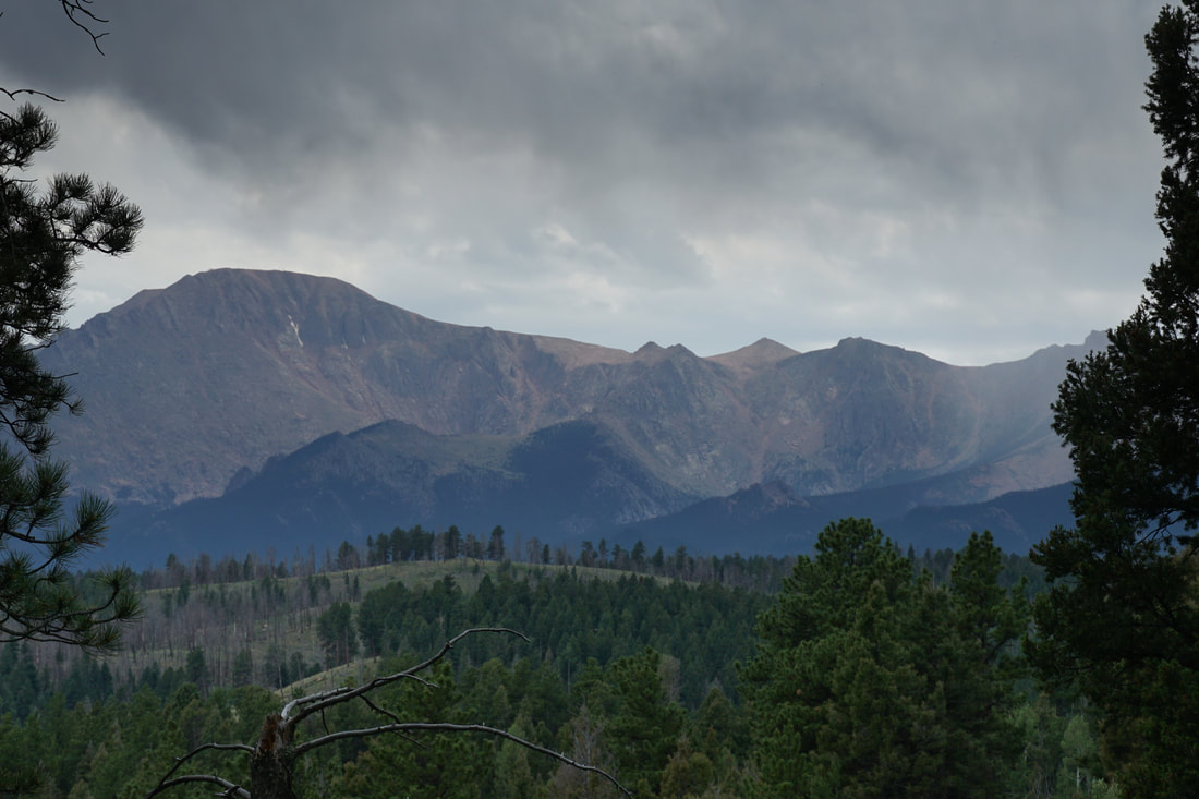
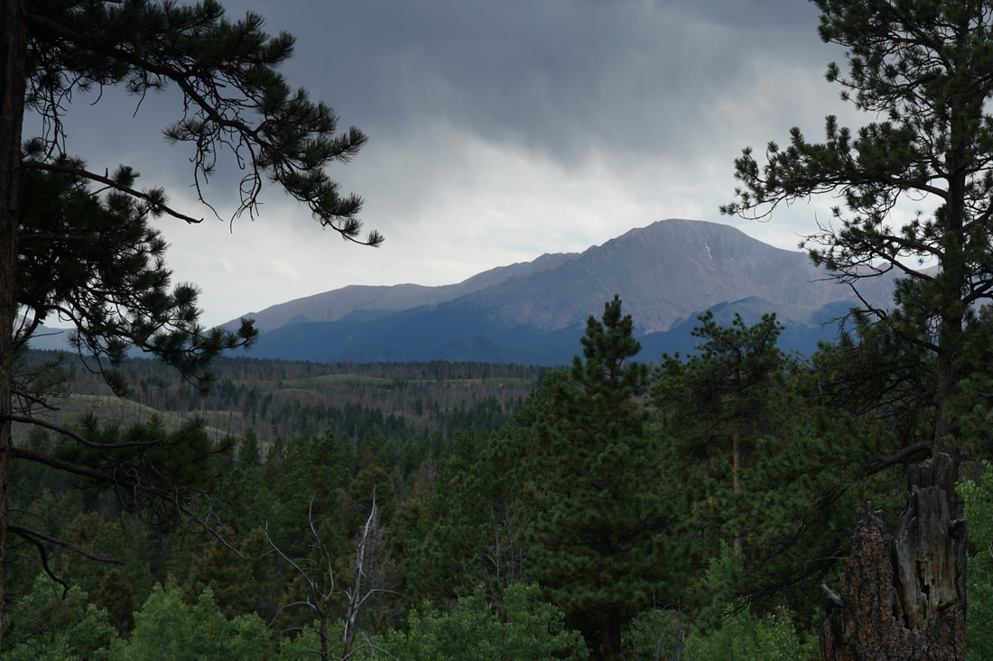
Rampart Reservoir is a beautiful place. High up on ridge between Colorado Springs and Woodland Park, in the shadow of Pikes Peak, the reservoir draws visitors with its camping, boating, OHV trails, and extensive hiking and biking trails. The main access point to hike the reservoir is the Rainbow Gulch Trail. However, if you are looking for a quieter trail with far fewer visitors, check out the Schubarth Spur Trail.
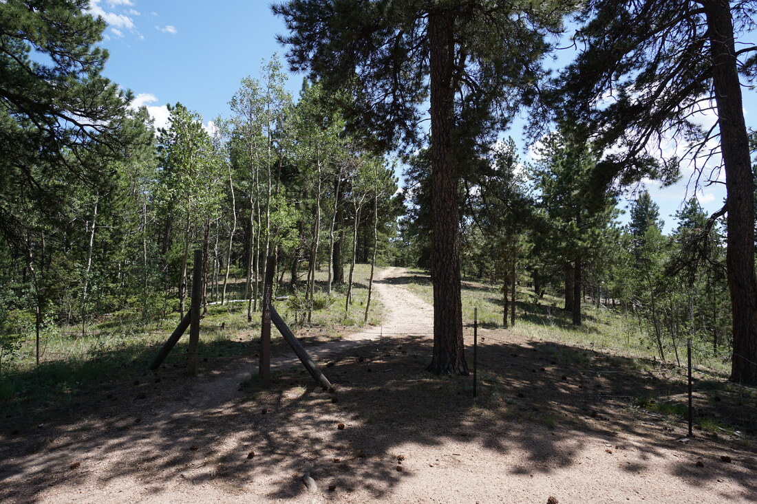
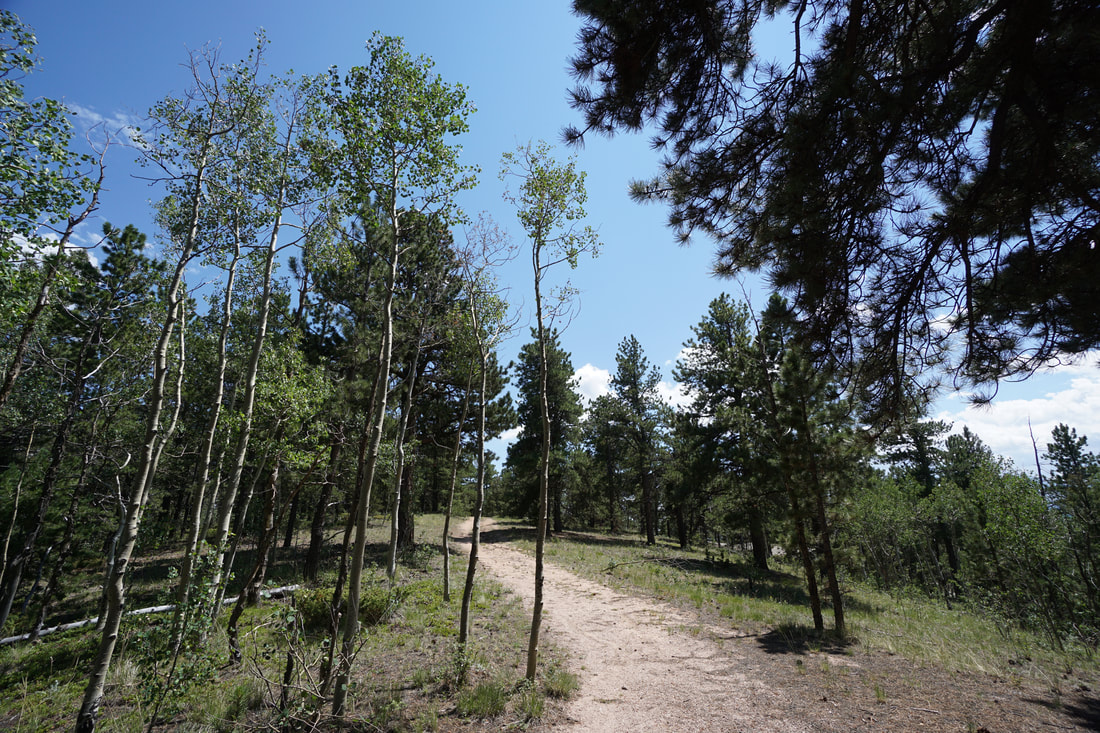
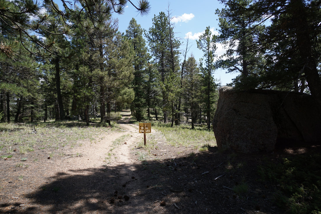
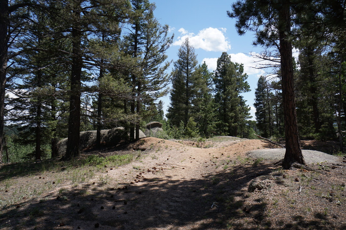
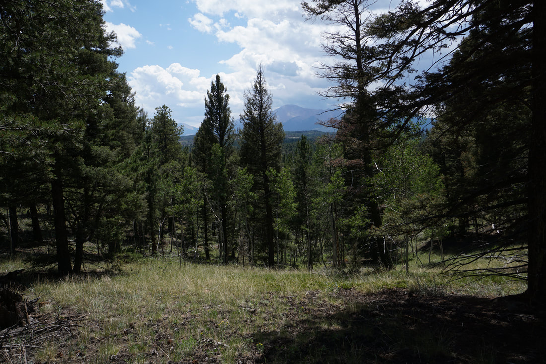
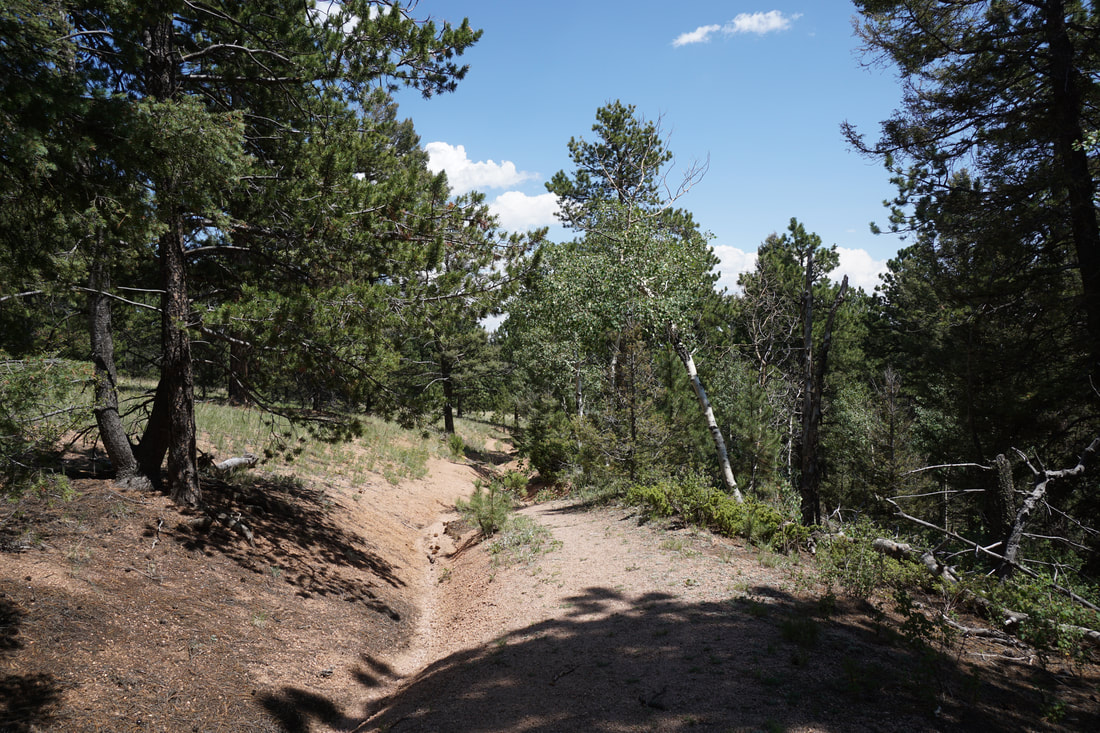
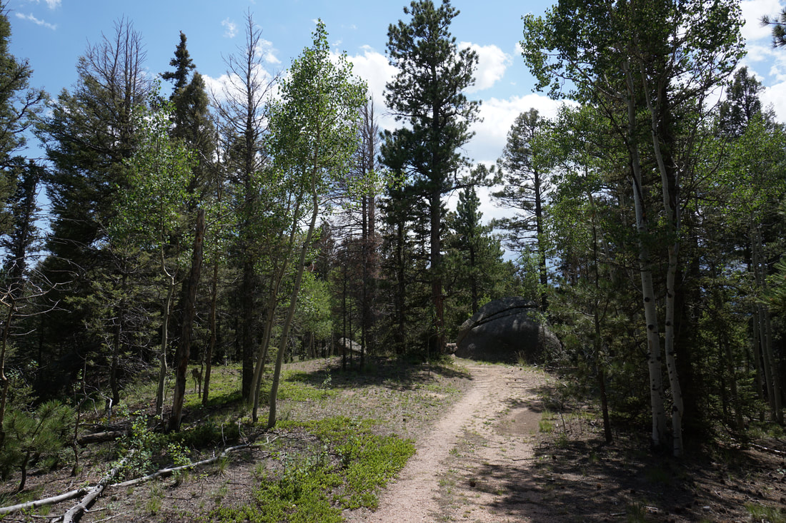
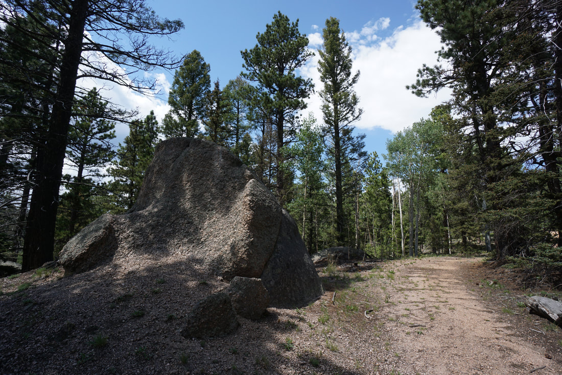
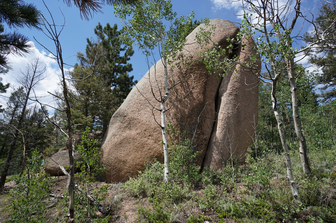
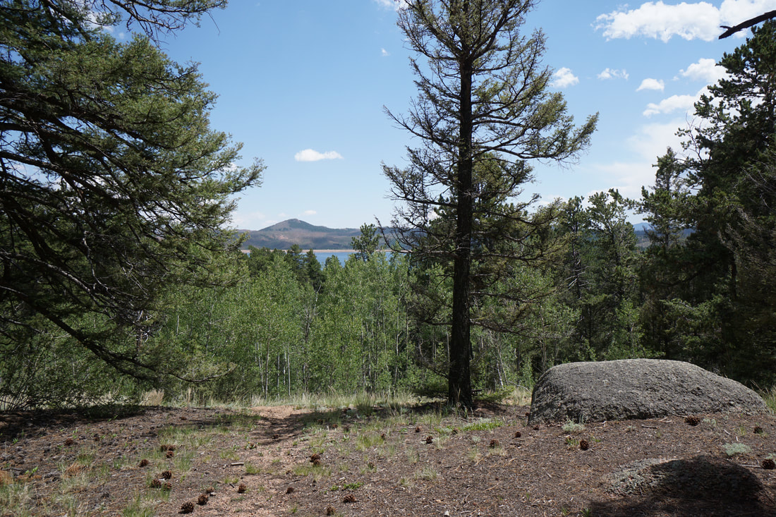
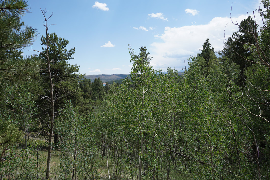
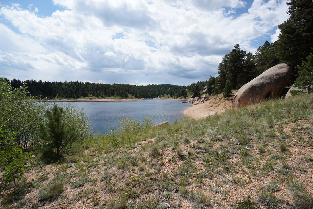
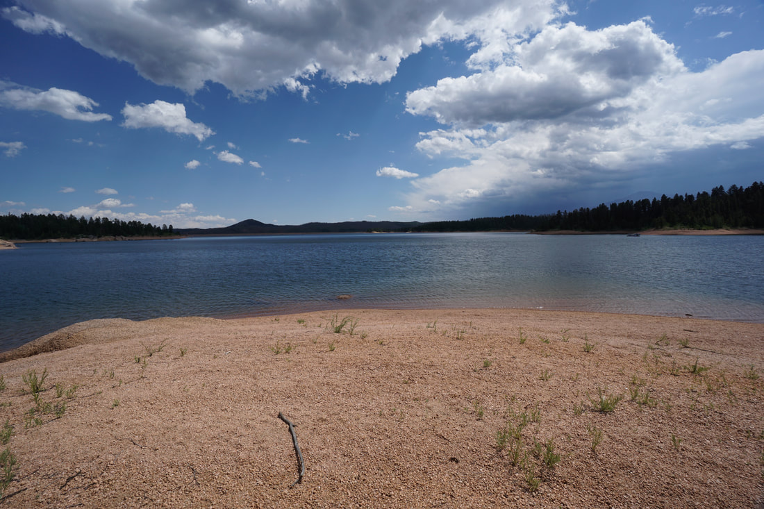
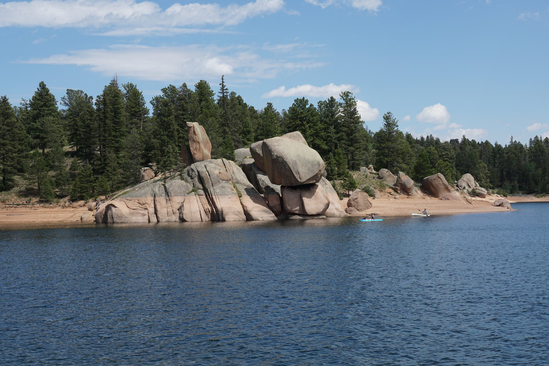
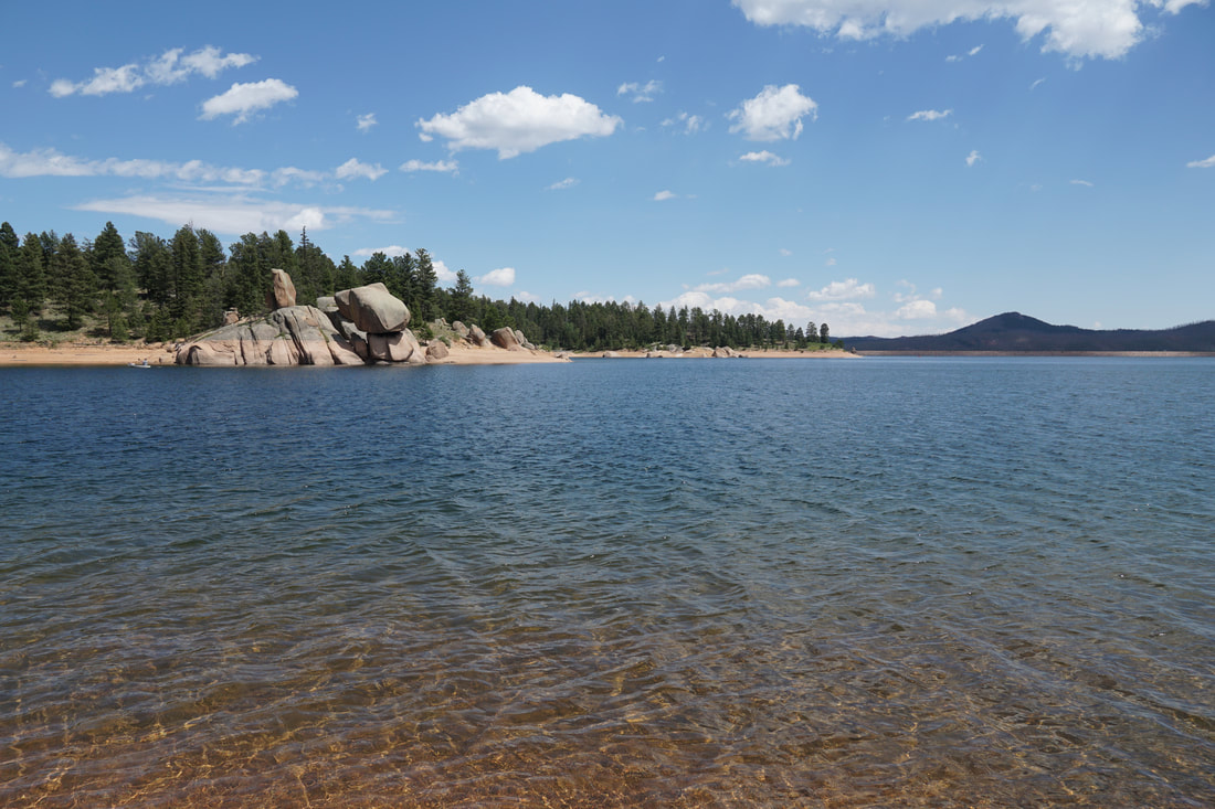
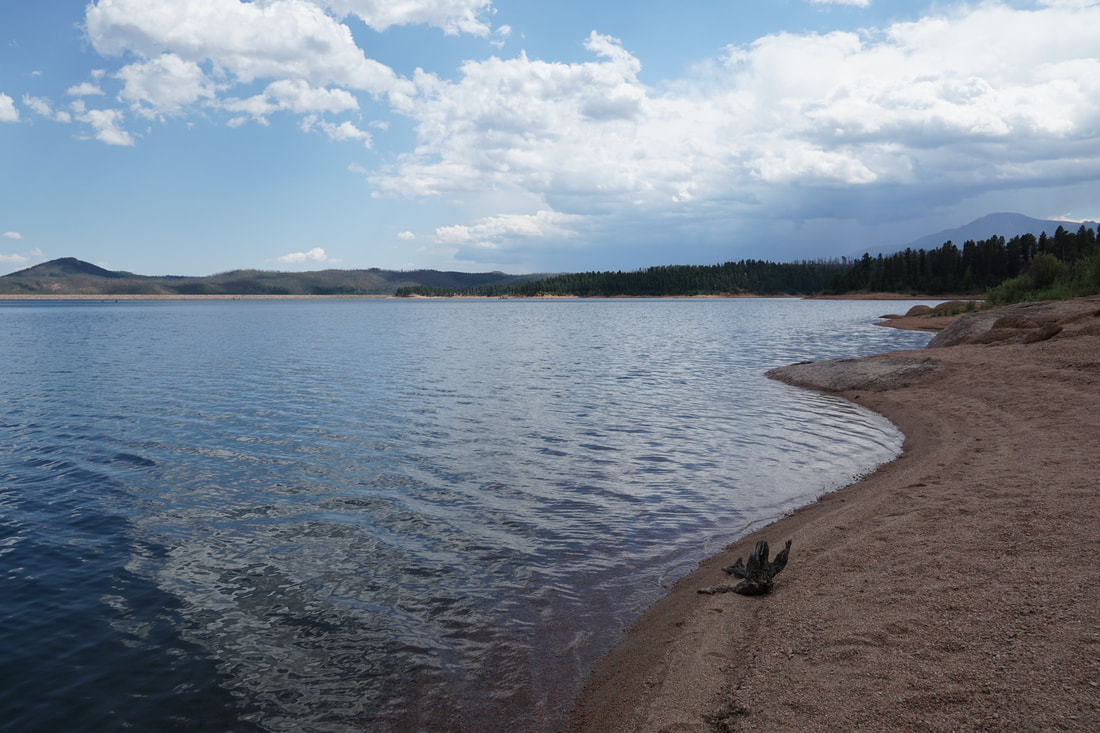
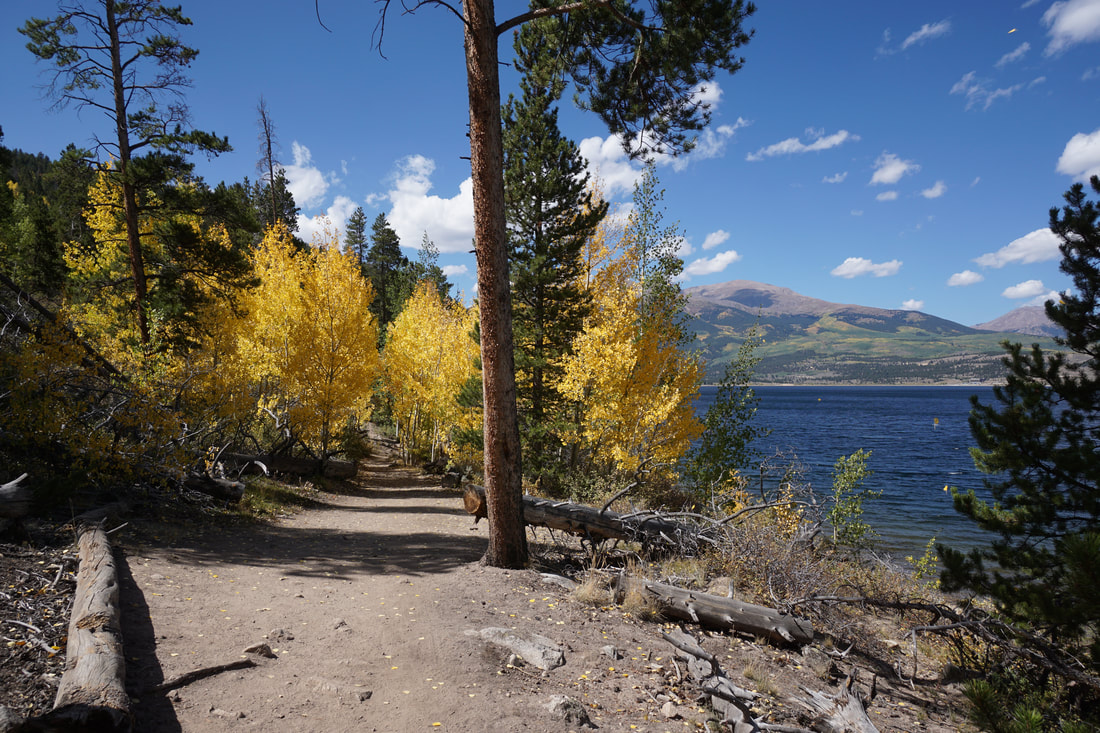
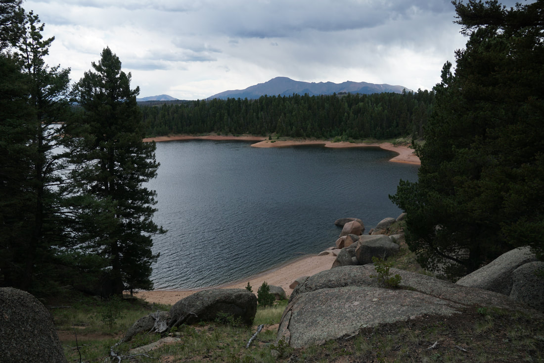
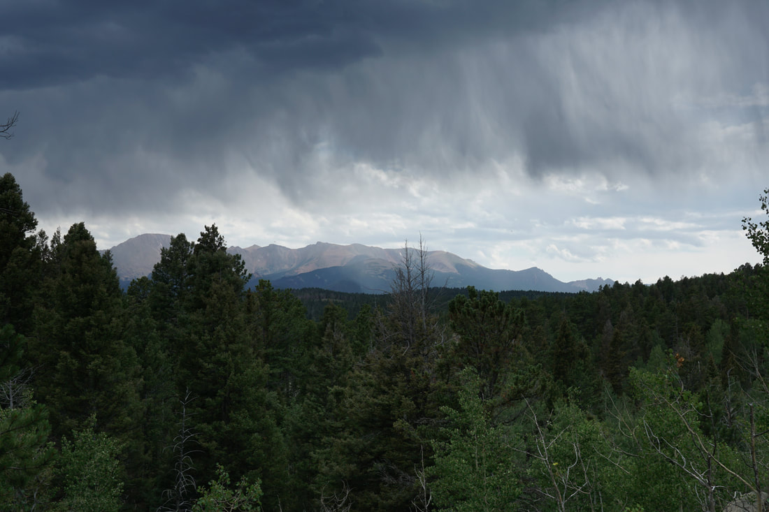
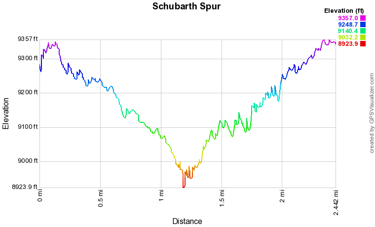
The Schubarth Spur Trail approaches the reservoir from the north, off of FS Road 307. It is a bit harder to reach the trailhead but you'll be able to hike in relative solitude. The hike itself is wonderful, scenic, not too hard, not too easy. The biggest benefit of hiking this trail rather than the Rainbow Gulch Trail is the view of Pikes Peak from the trail itself and the part of the reservoir that it accesses. From the trailhead off of FS Road 307, the trail winds its way down a pleasant grade through pine and aspen forests. There are enough aspen groves to make this a terrific fall destination. As you hike, views of Pikes Peak are apparent through breaks in the trees. The trail itself is easy to follow. As you descend you'll start to see distant views of the reservoir and it's amazing how quickly you come up on the shoreline. After only about 1 mile you'll reach the trail that loops around the reservoir. If you are just trying to reach the shore, head straight rather than turning onto the main trail. The trail takes you down to the beach where the views are abundant. This is a truly beautiful spot. Interesting rock formations are near by for exploration and there are endless options to continue hiking or to relax by the lakeside. The return hike climbs back up the entire way but the grade is pretty gentle and the hike out is not too bad. The extra effort in driving to the trailhead is well worth it for the solitude and beauty of this short hike. |
|