|
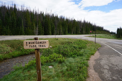
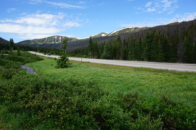
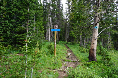
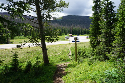
Directions: From Fort Collins, head west on Hwy 14 about 58 miles through Poudre Canyon all the way to the Cameron Pass area. The trailhead can be found across the street from the Zimmerman Lake Trailhead. While there are no signs from the road for the Zimmerman Lake Trailhead, look for a large parking area with a brick restroom, just east of Cameron Pass. You'll see a wooden sign at the eastern part of the parking area pointing to Montgomery Pass and across the street you'll see a blue sign that says Montgomery Pass Ski Trail.
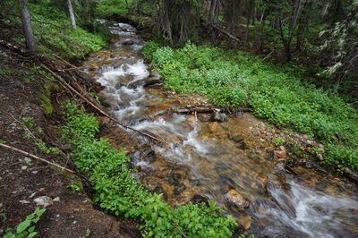
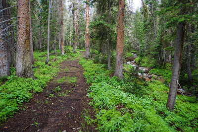
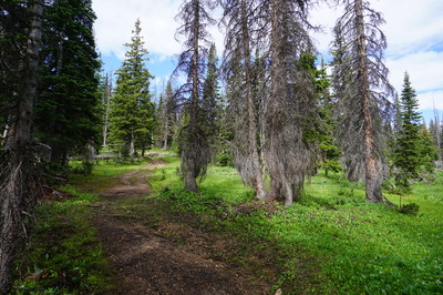
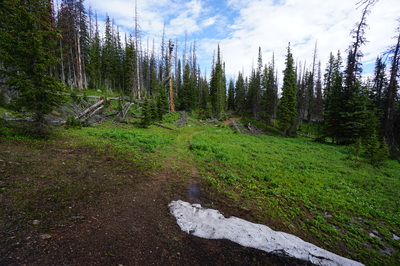
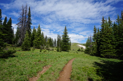
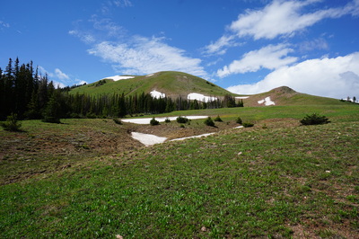
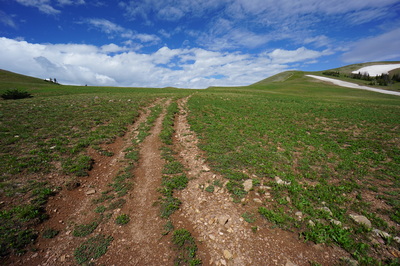
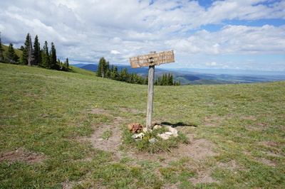
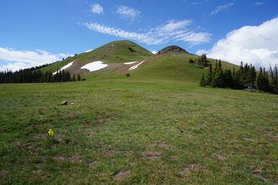
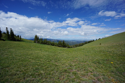
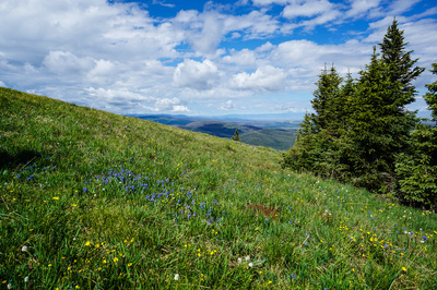
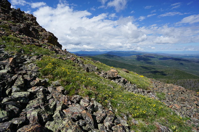
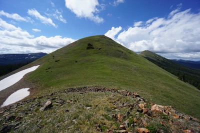
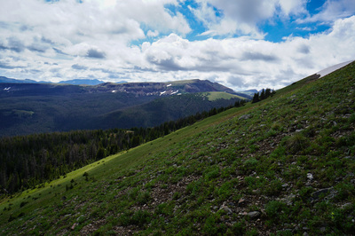
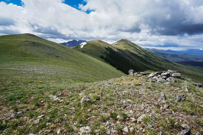
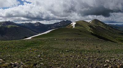
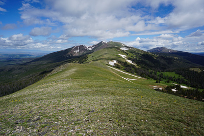
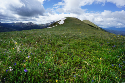
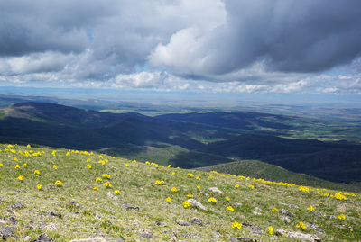
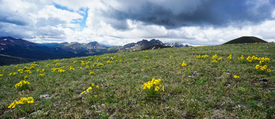
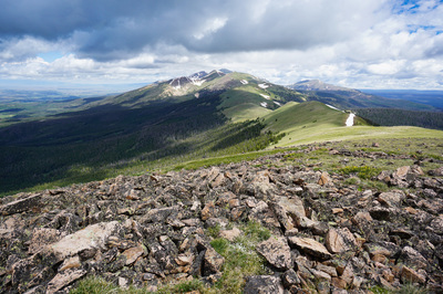
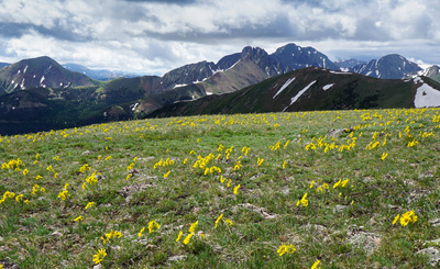
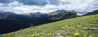
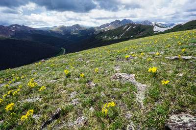
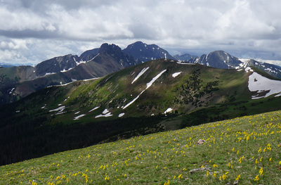
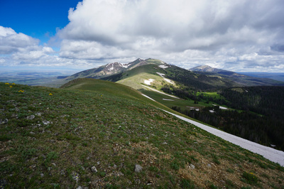
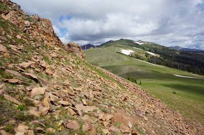
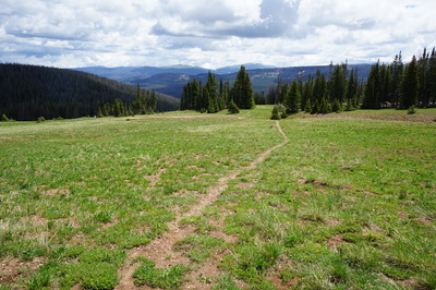
Cameron Pass is the divide between the Never Summer Mountains to the South and the Medicine Bow Mountains to the North. The hike to the Diamond Peaks provides an easy (relatively) way to get a birds eye view of this wonderful part of the Front Range. The peaks can be reached via a social trail from Cameron Pass or by hiking up to Montgomery Pass and following the ridgeline to hit the peaks. For this hike, I only got as far as South Diamond Peak before the menacing weather pushed me back. Still, South Diamond Peak provides incredible views and a great workout. The trail starts off through dense and wet forest, keep a watchful eye out for Moose and give them a wide berth if you run across any. Moose are very prominent in this area and very dangerous, they are not as easy scared off as bears and if provoked can charge you, give them space and they will eventually move along. The first mile of trail can get steep but it soon levels out as you approach treeline. Once you break through treeline you are very close to Montgomery Pass and you'll see a wooden sign marking the pass and the boundary for State Forest State Park. From the pass head south towards the obvious rock outcropping. To get to S. Diamond, all you need to do is follow the ridgeline, there are multiple summits along the way but you'll know when you reach S. Diamond, it is a broad summit with a rocky crown and you'll be looking straight on at North Diamond and Cameron Pass below. The bushwacking/route finding is very easy here, there is no trail but you really don't need one. In the early summer the ridgeline is green and rolling with beautiful wildflowers all around you. To the north you'll be able to see the start of the Medicine Bow Mountain Range that stretches all the way into Wyoming. The visible peaks are those of the Rawah Wilderness Area, Clark Peak (the highest in the range) and the Rawah Peaks are very tempting from this area. To the west you'll be looking down into North Park with the Zirkel Mountains far to the west. The view to the south and the east looks into one of the more spectacular portions of State Forest State Park and Rocky Mountain National Park. The Nokhu Crags and Mt. Richthofen are prominent and iconic, looking like a medieval castle ready to be stormed. Go as far as you can and either descend to Cameron Pass via the social trail and a connector trail taking you back to Zimmerman Lake Trailhead, or head back along the ridge to Montgomery Pass. If you are spending a weekend in this area, then this hike makes for a great introduction. |
- HOME
- ABOUT
-
HIKES BY REGION
-
NATIONAL PARK HIKES
- BENT'S OLD FORT NATIONAL HISTORIC SITE
- BLACK CANYON OF THE GUNNISON NATIONAL PARK
- COLORADO NATIONAL MONUMENT
- CURECANTI NATIONAL RECREATION AREA
- DINOSAUR NATIONAL MONUMENT
- FLORISSANT FOSSIL BEDS NATIONAL MONUMENT
- MESA VERDE NATIONAL PARK
- ROCKY MOUNTAIN NATIONAL PARK
- GREAT SAND DUNES NATIONAL PARK
- HOVENWEEP NATIONAL MONUMENT
- SAND CREEK MASSACRE NATIONAL HISTORIC SITE
- YUCCA HOUSE NATIONAL MONUMENT
- HIKES BY CATEGORY
- NEWS
- WEBCAMS
- $UPPORT GHC
- INTERACTIVE MAP
S. Diamond Peak (via Montgomery Pass)
Roosevelt National Forest &
State Forest State Park
Date Hiked: July 2, 2014
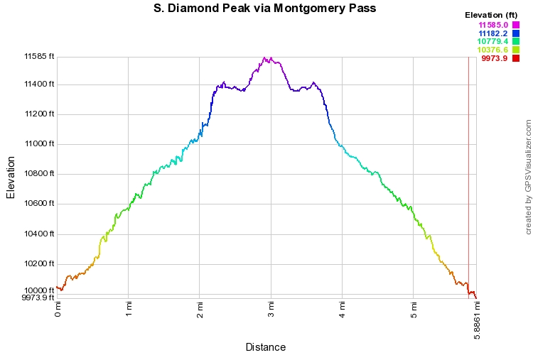
Distance: 6 mi (RT)
Elevation Gain" 1,831 ft
Elevation Min/Max: 9,974 to 11,585 ft
Trailhead Lat/Long:40º 32' 24" N; 105º 52' 57" W
Managing Agency: U.S. Forest Service & CO Dept. of Parks & Wildlife
Fee: None

