GO HIKE COLORADO
Get in Touch:
  • HOME
  • ABOUT
  • HIKES BY REGION
    • DENVER AREA >
      • Denver Mountain Parks
      • Jefferson County Open Space
      • Lakewood Parks
      • Denver Area Greenways
    • BOULDER AREA
    • DOUGLAS COUNTY
    • FORT COLLINS AREA
    • COLORADO SPRINGS AREA
    • FRONT RANGE
    • TENMILE & MOSQUITO RANGES
    • GORE RANGE
    • SANGRE DE CRISTO MOUNTAINS
    • PARK RANGE
    • SAWATCH RANGE
    • ELK MOUNTAINS
    • SAN JUAN MOUNTAINS
    • THE FLAT TOPS
    • GRAND MESA
    • COLORADO PLATEAU
    • EASTERN PLAINS
  • NATIONAL PARK HIKES
    • BENT'S OLD FORT NATIONAL HISTORIC SITE
    • BLACK CANYON OF THE GUNNISON NATIONAL PARK
    • COLORADO NATIONAL MONUMENT
    • CURECANTI NATIONAL RECREATION AREA
    • DINOSAUR NATIONAL MONUMENT
    • FLORISSANT FOSSIL BEDS NATIONAL MONUMENT
    • MESA VERDE NATIONAL PARK
    • ROCKY MOUNTAIN NATIONAL PARK
    • GREAT SAND DUNES NATIONAL PARK
    • HOVENWEEP NATIONAL MONUMENT
    • SAND CREEK MASSACRE NATIONAL HISTORIC SITE
    • YUCCA HOUSE NATIONAL MONUMENT
  • HIKES BY CATEGORY
    • HIKES TO ALPINE LAKES
    • HIKES TO PEAKS & PASSES
    • HIKES THROUGH CANYONS
    • HIKES WITH FALL COLORS
    • HIKES ALONG THE I-70 CORRIDOR
    • HIKES ON PAVED TRAILS
    • HIKES FOR KIDS
    • HIKES TO WATERFALLS
    • HIKES ALONG RIVERS
    • HIKES WITH ROCK FORMATIONS
    • HIKES WITH WILDFLOWERS
    • WINTER HIKES
  • NEWS
  • WEBCAMS
  • $UPPORT GHC
  • INTERACTIVE MAP

Overlook Trail
Royal Gorge Park

Date Hiked: December 27, 2017

Distance: 1.5 mi (RT)
Elevation Gain: 100 ft
Elevation Min/Max: 6,715 to 6,796 ft
Trailhead Lat/Long:38º 27' 54" N; 105º 18' 31" W
Managing Agency: City of Cañon City
​Fee: None

Royal Gorge Park Trail Map
Picture
DIRECTIONS:  From Cañon City, head west on route 50 following signs to Royal Gorge Bridge.  Turn south (left) on County Road 3A for 3.5 miles to the rest area and trailhead.  The rest area with picnic tables, pit toilets, and parking is on the left and the trailhead is on the right. ​

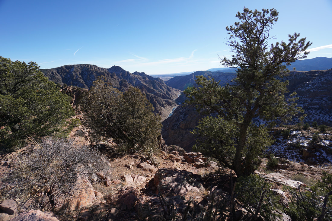
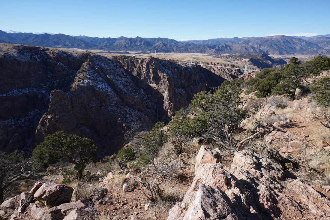
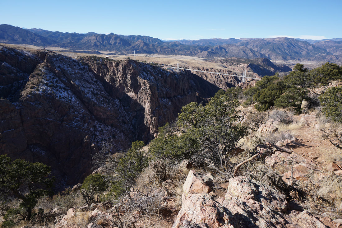
When visiting Royal Gorge Bridge and Park, I highly recommend hiking some of the trails along the entrance road just before the visitor's center.  If you only have a short time for hiking, this is a great trail for a bird's eye view of the area and of course the iconic Royal Gorge Bridge.  For a longer, more extensive, and even more rewarding hike at Royal Gorge Park, try the Canyon Rim Trail, see the description here.

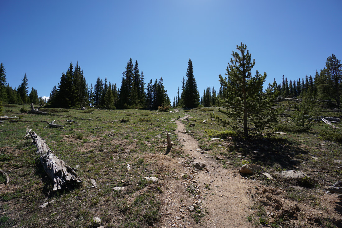
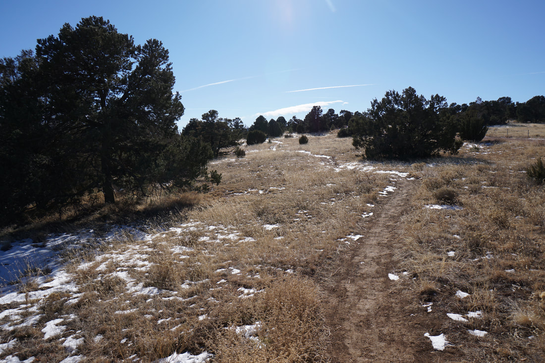
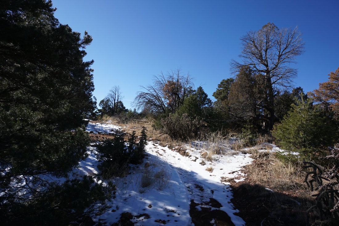
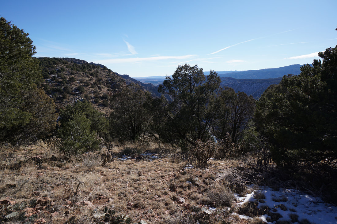
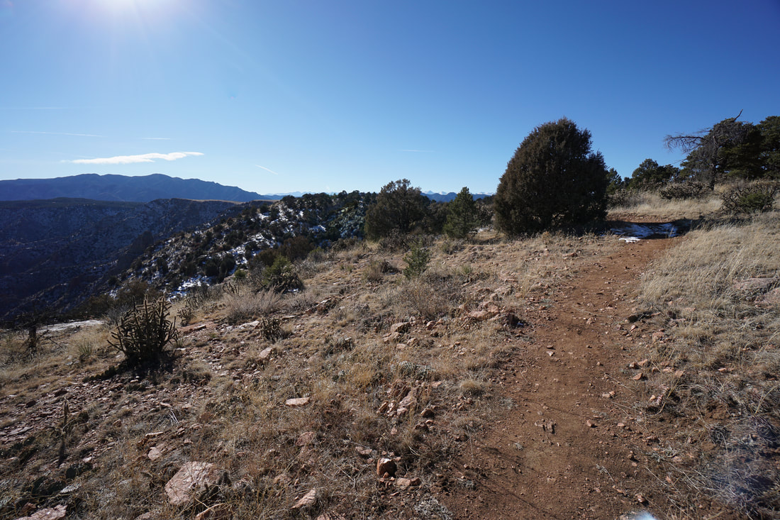
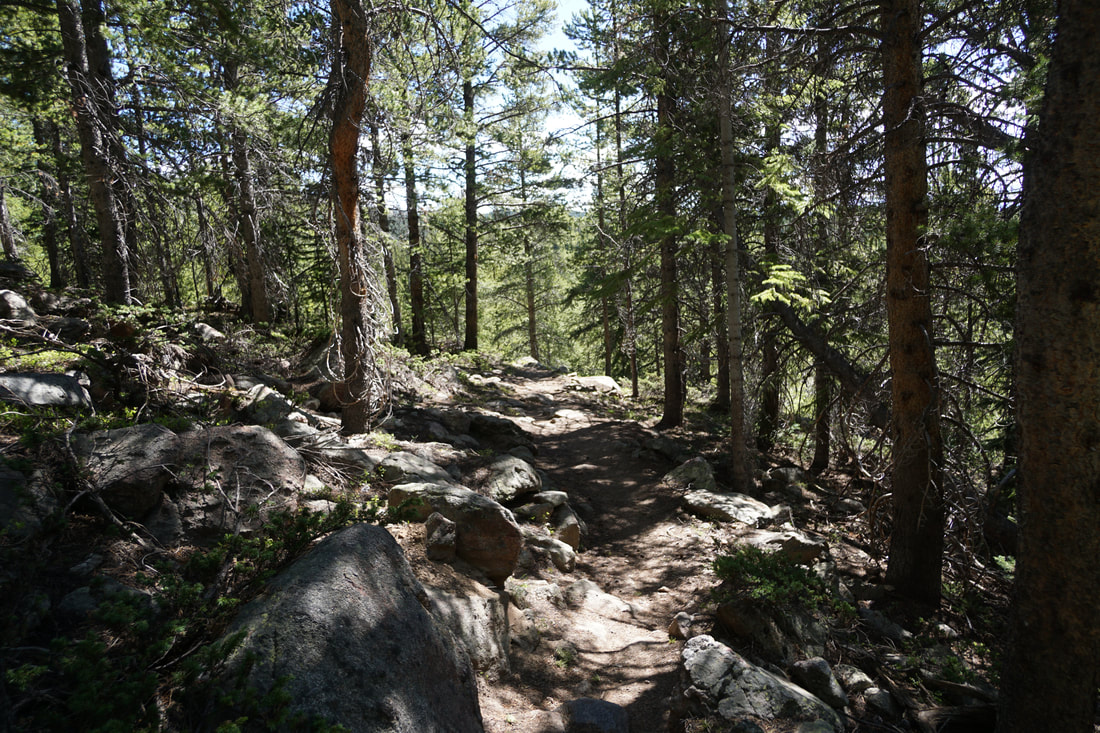
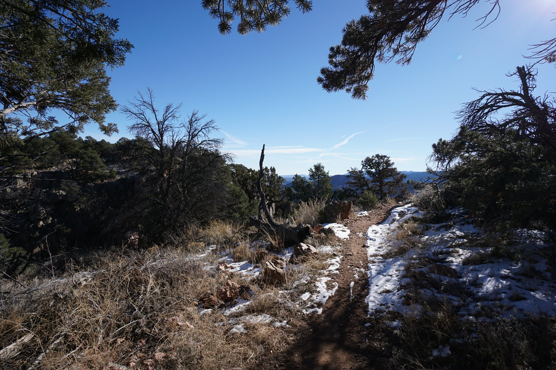
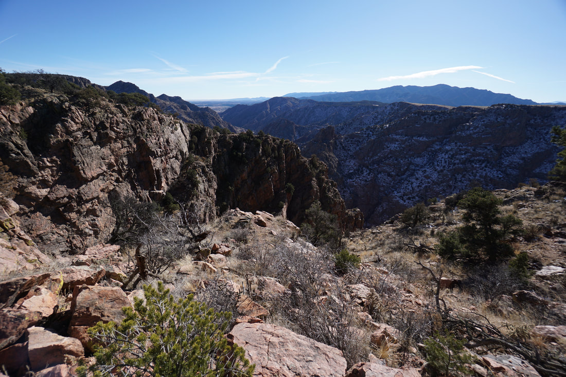
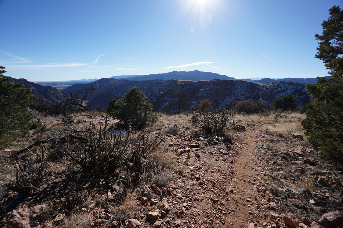
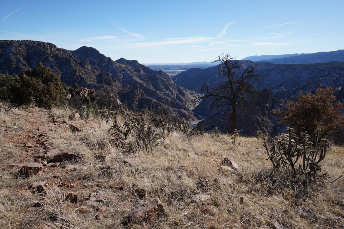
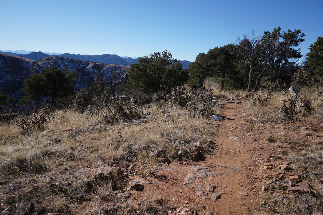
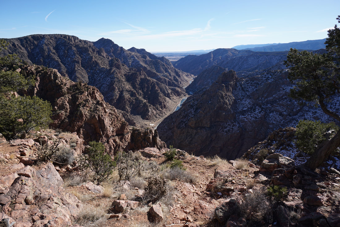
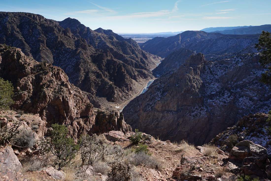
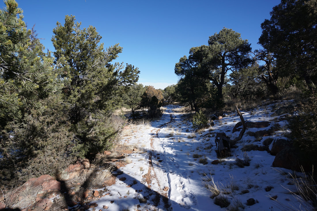
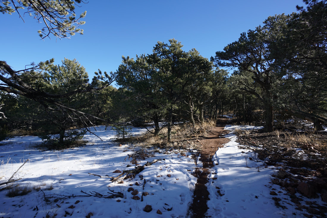
The Overlook Trail starts across from the rest area just before the Elkhorn Day Use Area Road.  Turn right at the sign for Canyon Rim/Overlook Trails and start heading up the gentle slopes to the first viewpoints.  Your first views will be of the canyon heading back to the east.  These views are spectacular and will make you forget that you came to see the bridge.  The trail continues along the canyon rim, high above the Arkansas River, leads to the Overlooks Loop.  If you stay straight at the Loop Junction you'll be treated to more canyon views to the south and west.  When you reach the western-most point of the loop, you can see the Royal Gorge Bridge below.  The remainder of the loop travels through pleasant spruce, juniper, and scrub oak forests as you return to the trail junction and the rest area.  

This hike is short and easy but the views are amazing.  It would make for a great compliment to any visit and is perfect for kids and adults alike to stretch their legs and take in the scenery.  
Powered by Create your own unique website with customizable templates.