|
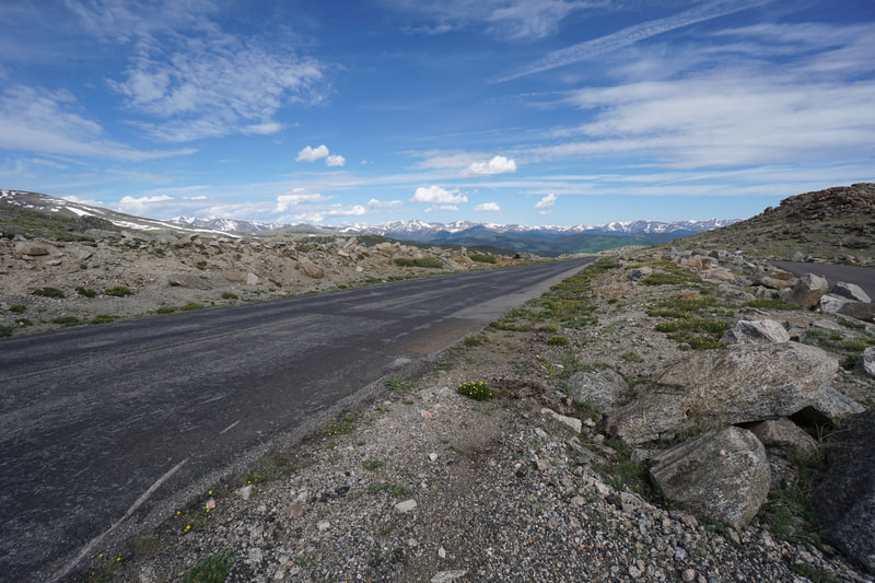
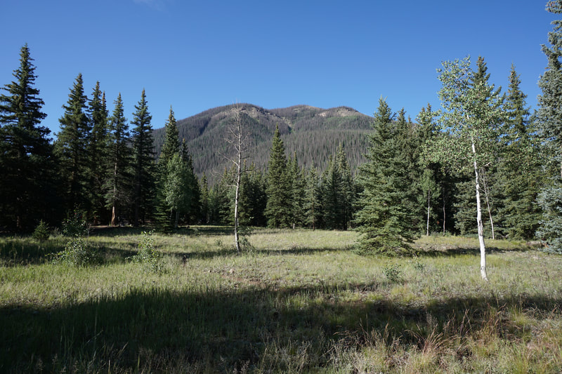
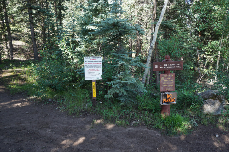
From the Mount Evans Road entrance station, drive to the upper Goliath Trailhead. there is a pull through with enough space for a few cars. This trailhead can fill up during the summer so get there early.
I've said it before in other hike descriptions but Mount Evans Road, even with all the summer crowds, is a great resource for Front Range hikers. We are all busy with work, kids, and other responsibilities and often our time to hike is short. Rogers Peak is a great example of why Denver is such a great city to live in if you are an avid hiker. You can drive from Denver to the trailhead, hike a 13er on a substantial route, and be back in Denver, all in about a 4 hours.
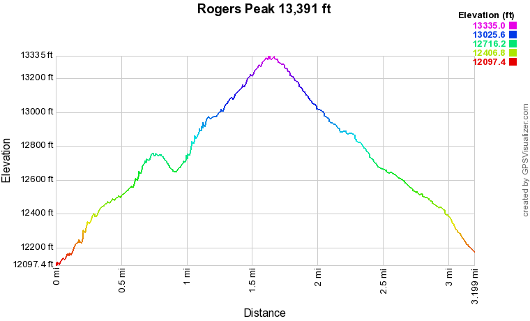
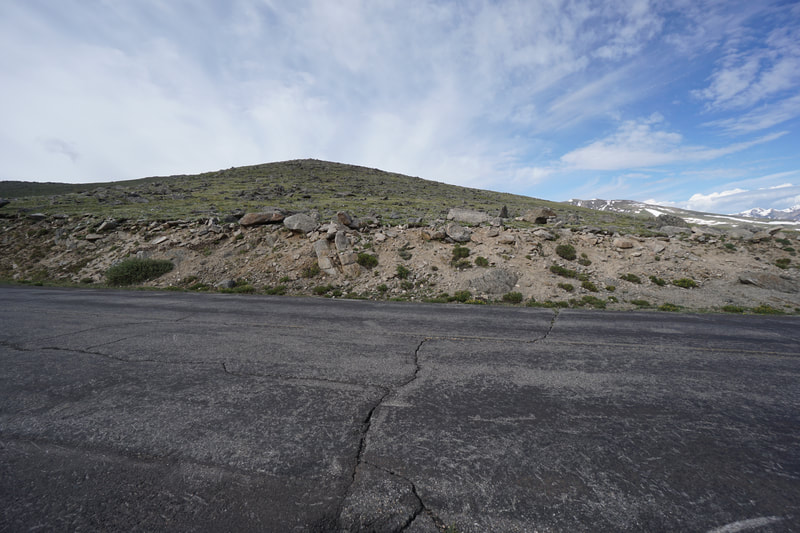
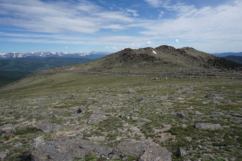
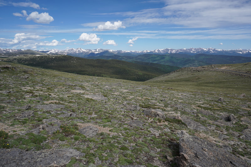
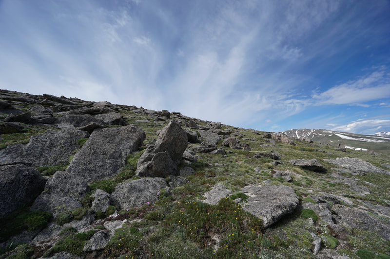
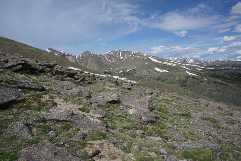
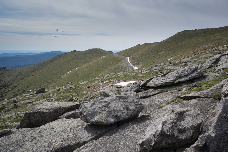
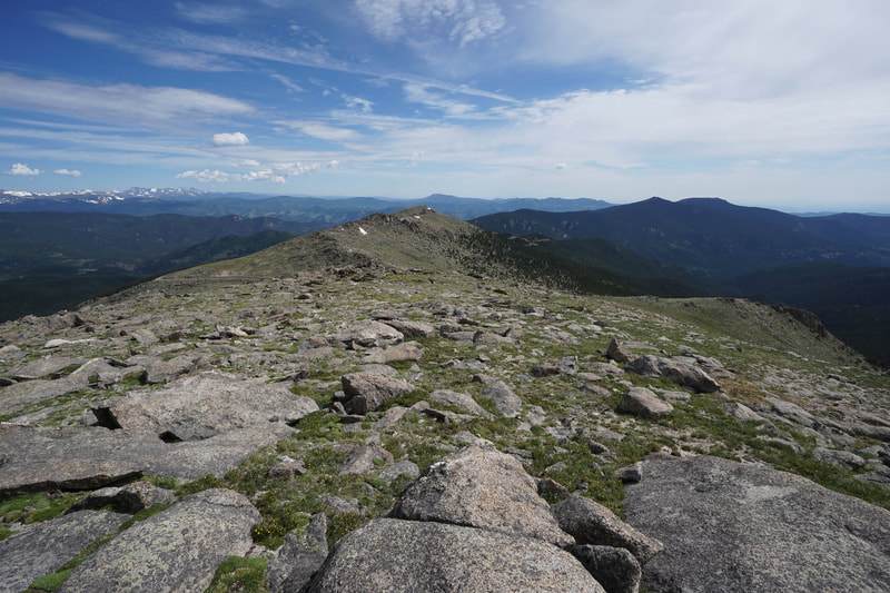
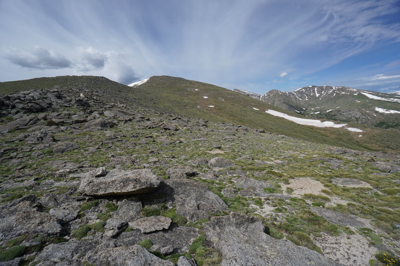
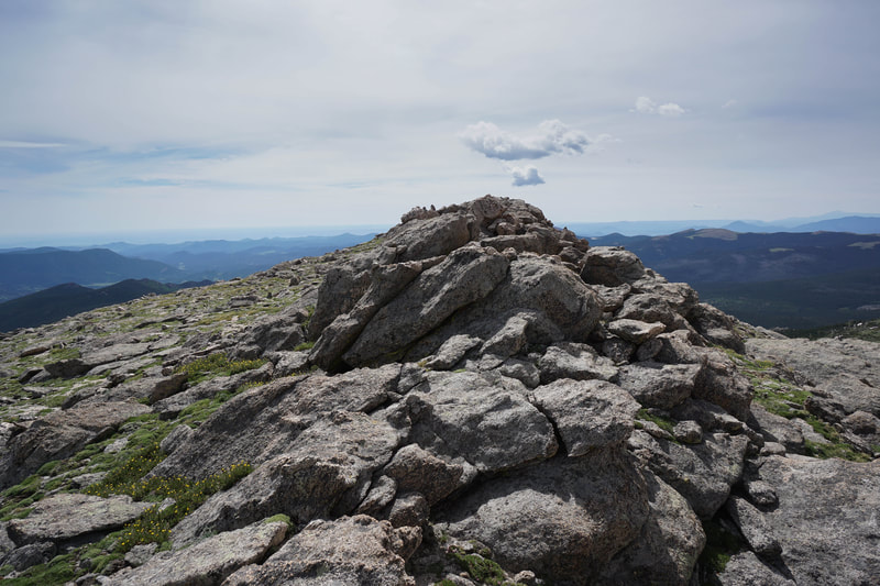
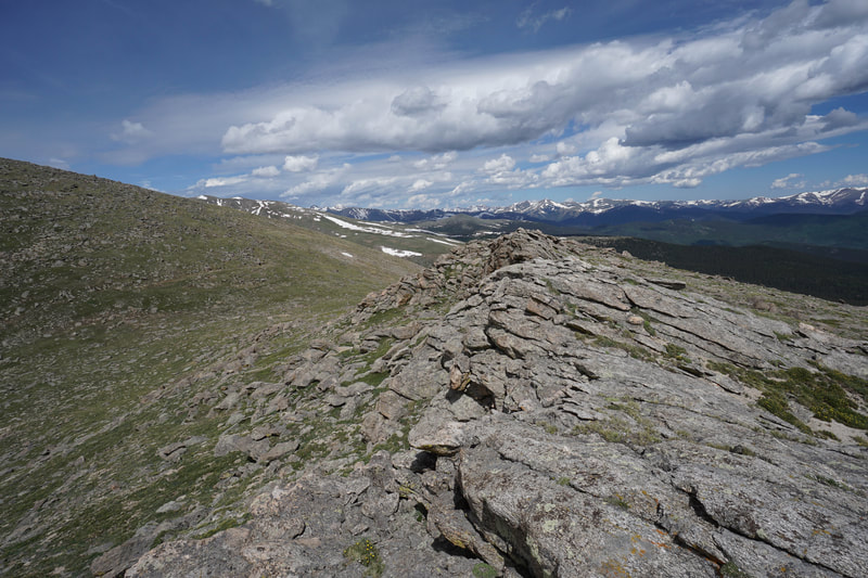
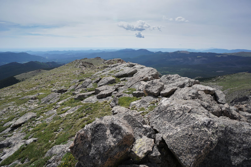
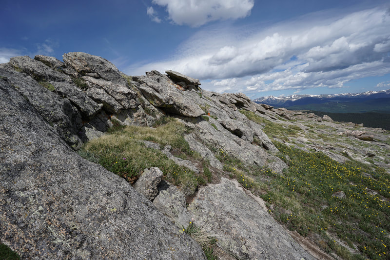
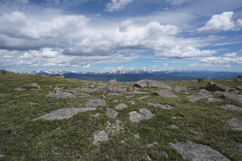
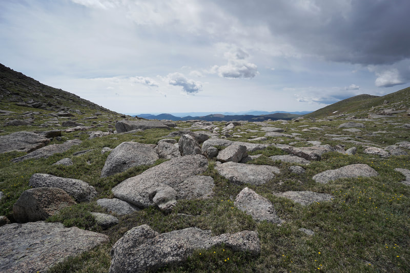
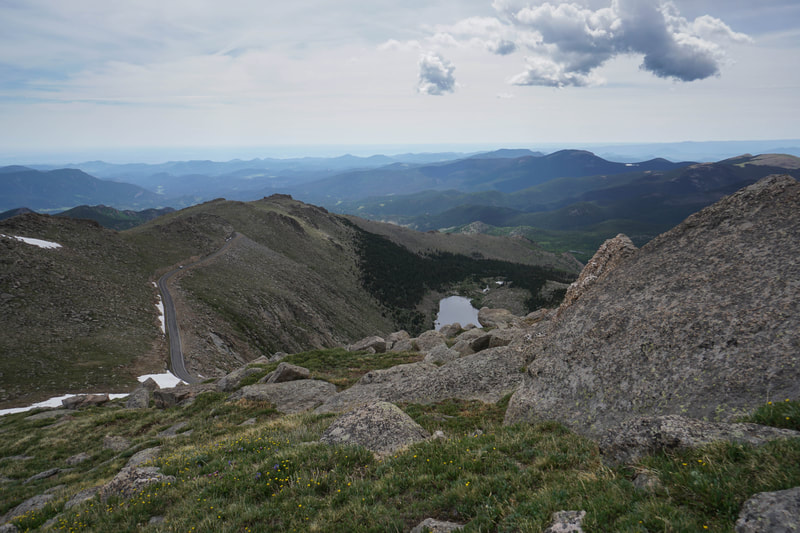
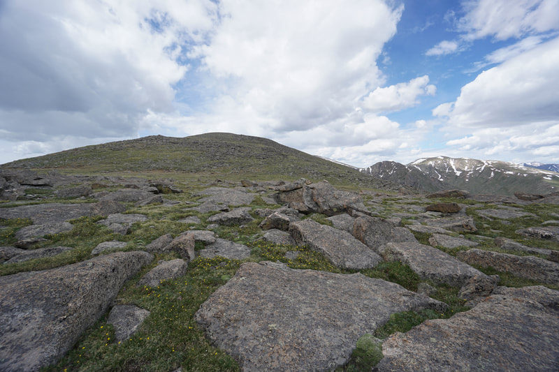
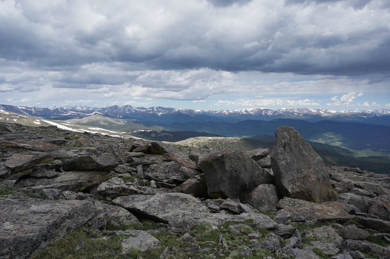
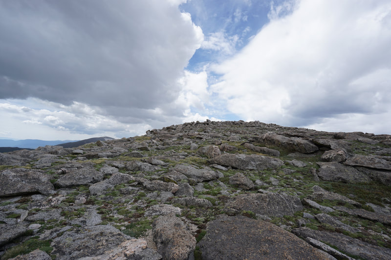
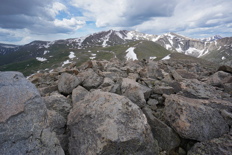
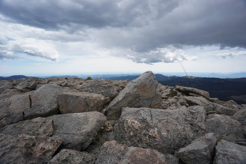
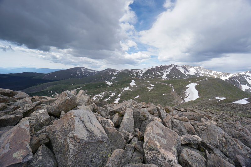
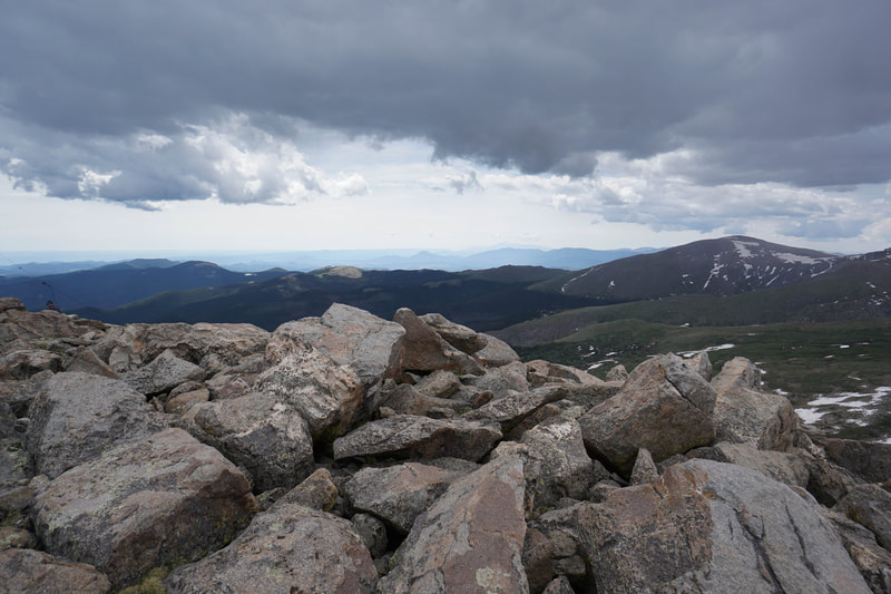
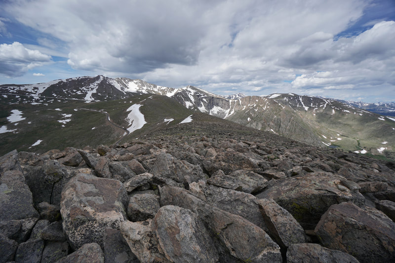
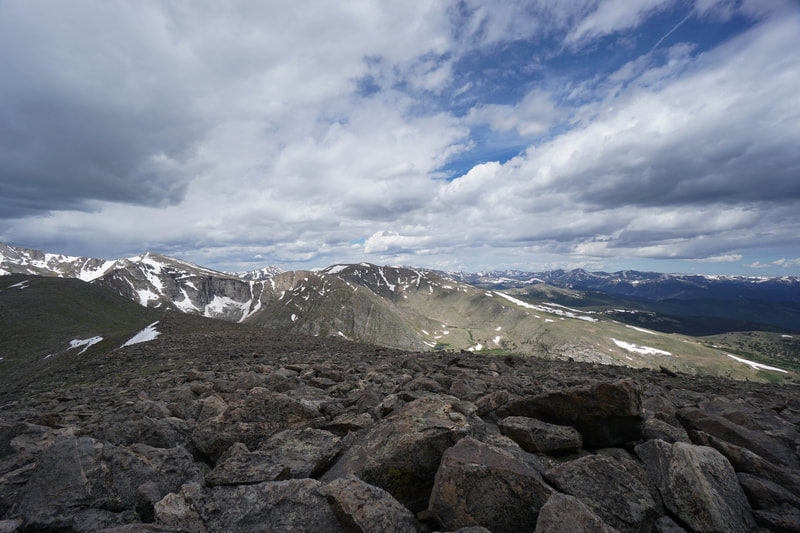
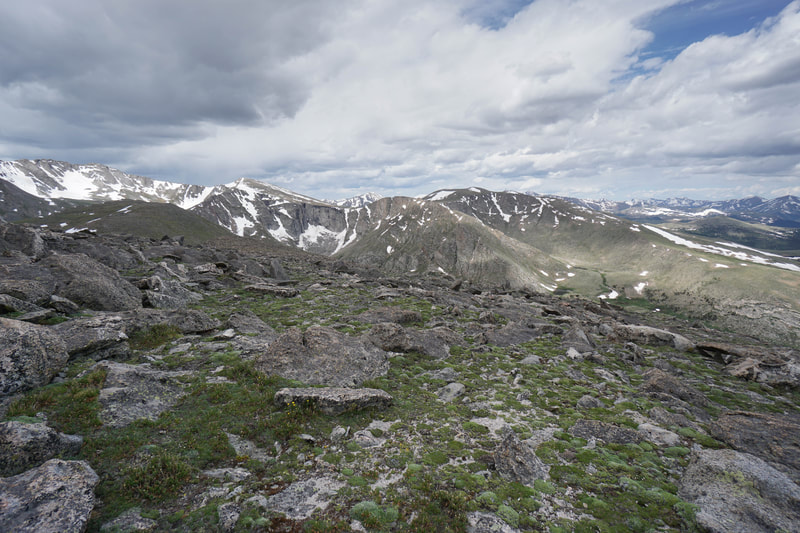
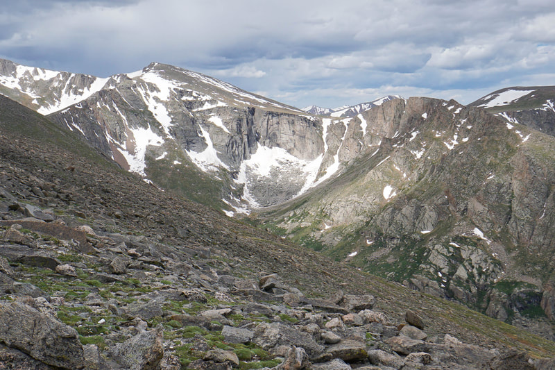
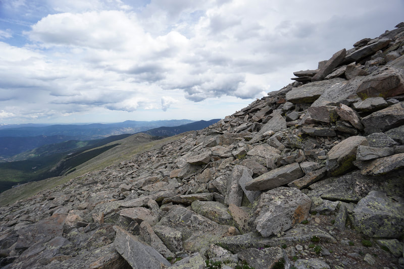
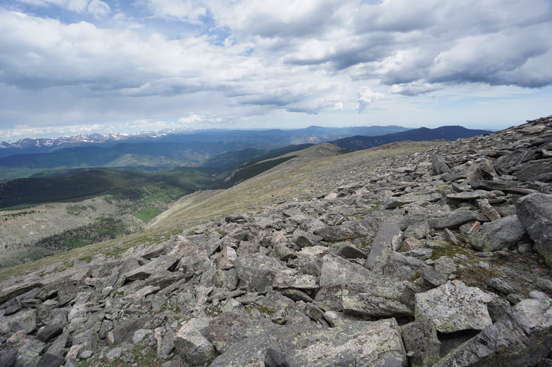
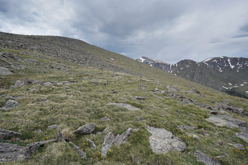
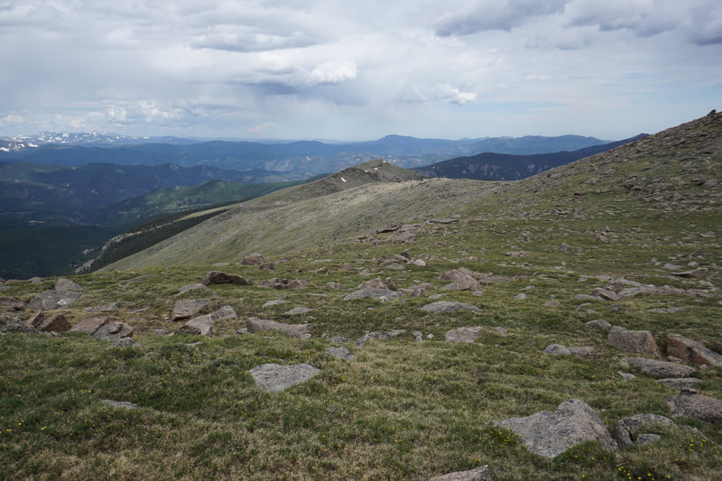
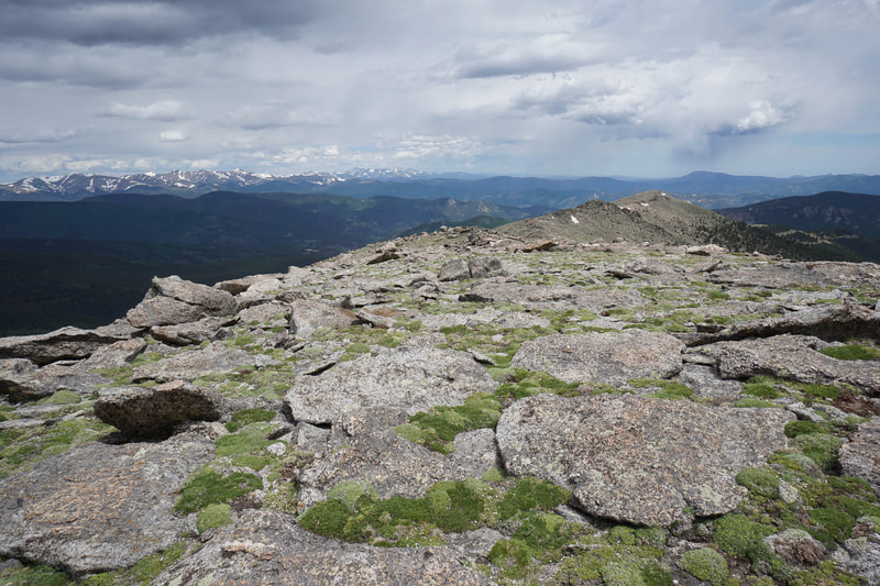
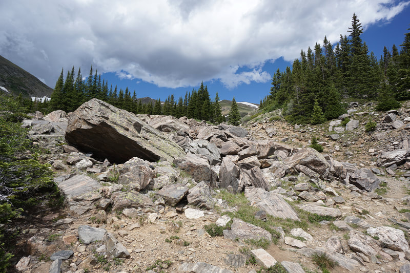
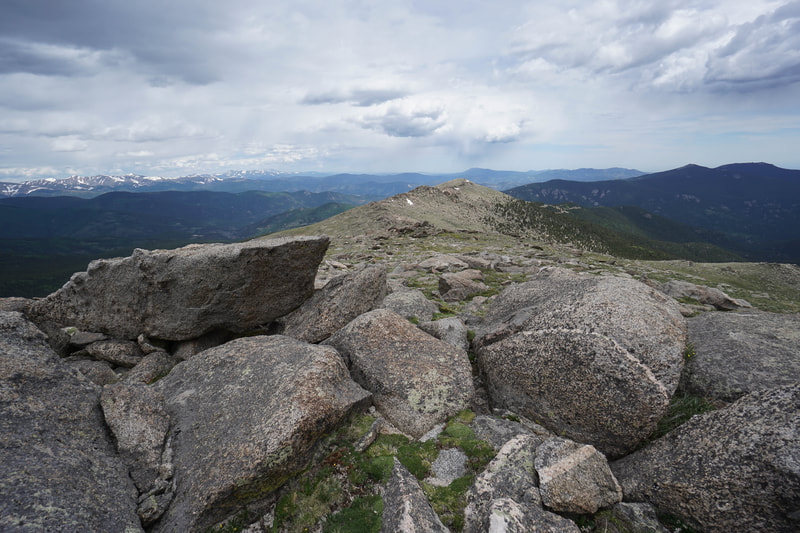
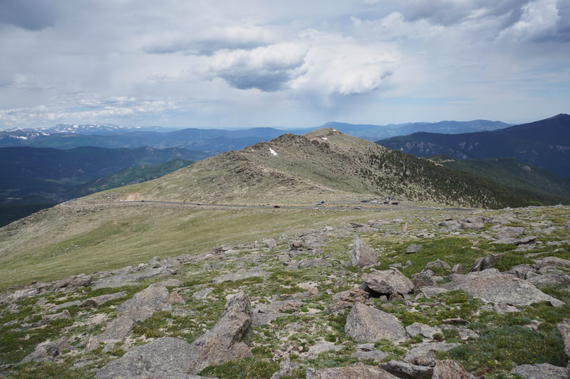
Rogers Peak, standing tall at 13,391 ft, is one of the 13ers that surround Mount Evans and dominate the mountain view from Denver. While Rogers Peak is a relatively easy 13er, it is by far from an easy hike. The hike is entirely above 12,000 feet, completely exposed to the typical iffy summer weather, and there is no trail, the entire route is cross country. That being said, the route is entirely class 2, meaning you don't need to climb over anything to get to the summit, you just hike, and the round trip distance of 3 miles makes this an easy 13er to cross off your list. From the Upper Goliath parking area, cross Mt. Evans Road and just start hiking up the slope. Route finding here is easy just aim for the highest point you can see and pick your way up. There are a number of bumps or false summits along the way, and on your way up, I recommend hitting all of them. You can skirt to the north of the slopes to avoid the up and down, but the high points along the way provide outstanding views and easy route finding. The first false summit is a flat rock garden, the second false summit is the top of a rocky ridge that runs all the way down to the south across Mt. Evans Road. From this ridge you'll get your first good look at the summit of Rogers Peak, don't worry it looks higher and further away then it really is. Descend the ridge to a flat rocky area and start climbing up to the third false summit. The Third false summit provides a flat mellow area before the final push to the summit. Getting to the summit of Rogers Peak requires a little boulder hopping but nothing too difficult. The summit has a radio antennae and an incredible view of Mount Evans and the surrounding 13ers. Mt. Warren is the peak directly in front of you at a little lower elevation blocking your view of Summit Lake. If you have the time and energy you can climb down to Warren adding about 2 miles (RT) to your hike. For your descent back to the trailhead, I recommend descending down the north side of Rogers Peak for just a little ways. The views of Mt. Spauldling and Grey Wolf looming over the Chicago Lakes Basin is worth the detour. After your drop down a little, cut across the northern face of Rogers back towards the 2nd False Summit. This route has lots of boulder hopping so only go this way if you don't mind jumping from rock to rock. The views along the northern face are worth the extra effort and trauma to your knees. If you pick your route correctly you'll meet up with the route you took on the ascent at the flat spot before the 2nd false summit (the rocky ridge). From here avoid re-climbing the ridge by skirting it to the north, return to the 1st false summit and back down to the trailhead. All in all, this is a great hike to get acclimated to high alpine hiking, practice off-trail route finding, and bag an easy 13,000+ foot peak. |
- HOME
- ABOUT
-
HIKES BY REGION
-
NATIONAL PARK HIKES
- BENT'S OLD FORT NATIONAL HISTORIC SITE
- BLACK CANYON OF THE GUNNISON NATIONAL PARK
- COLORADO NATIONAL MONUMENT
- CURECANTI NATIONAL RECREATION AREA
- DINOSAUR NATIONAL MONUMENT
- FLORISSANT FOSSIL BEDS NATIONAL MONUMENT
- MESA VERDE NATIONAL PARK
- ROCKY MOUNTAIN NATIONAL PARK
- GREAT SAND DUNES NATIONAL PARK
- HOVENWEEP NATIONAL MONUMENT
- SAND CREEK MASSACRE NATIONAL HISTORIC SITE
- YUCCA HOUSE NATIONAL MONUMENT
- HIKES BY CATEGORY
- NEWS
- WEBCAMS
- $UPPORT GHC
- INTERACTIVE MAP
Rogers Peak 13,391 ft
Mount Evans Wilderness
Arapaho National Forest
Date Hiked: July 7, 2019
Distance: 3.2 mi (RT)
Elevation Gain 1,333 ft
Elevation Min/Max: 12,097 to 13,391 ft
Trailhead Lat/Long: 39º 37' 57" N; 105º 36' 14" W
Managing Agency: U.S. Forest Service
Fee: Yes

