|
Directions: The Open Space is located just south of Hwy 24 near downtown Colorado Springs and Garden of the Gods Park. Take Hwy 24 and exit at Ridge Road, heading south for a few seconds.
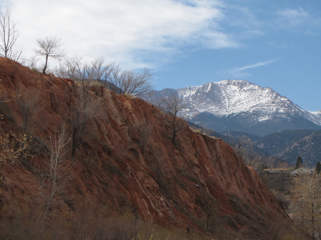
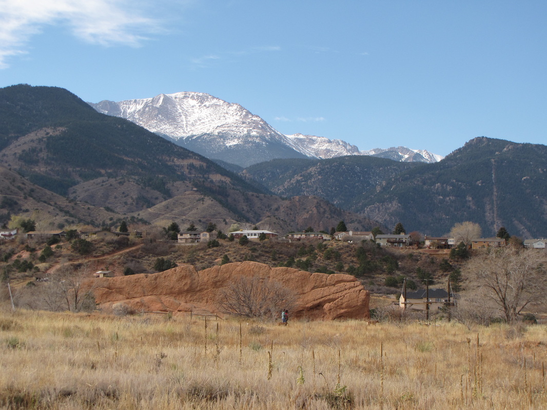
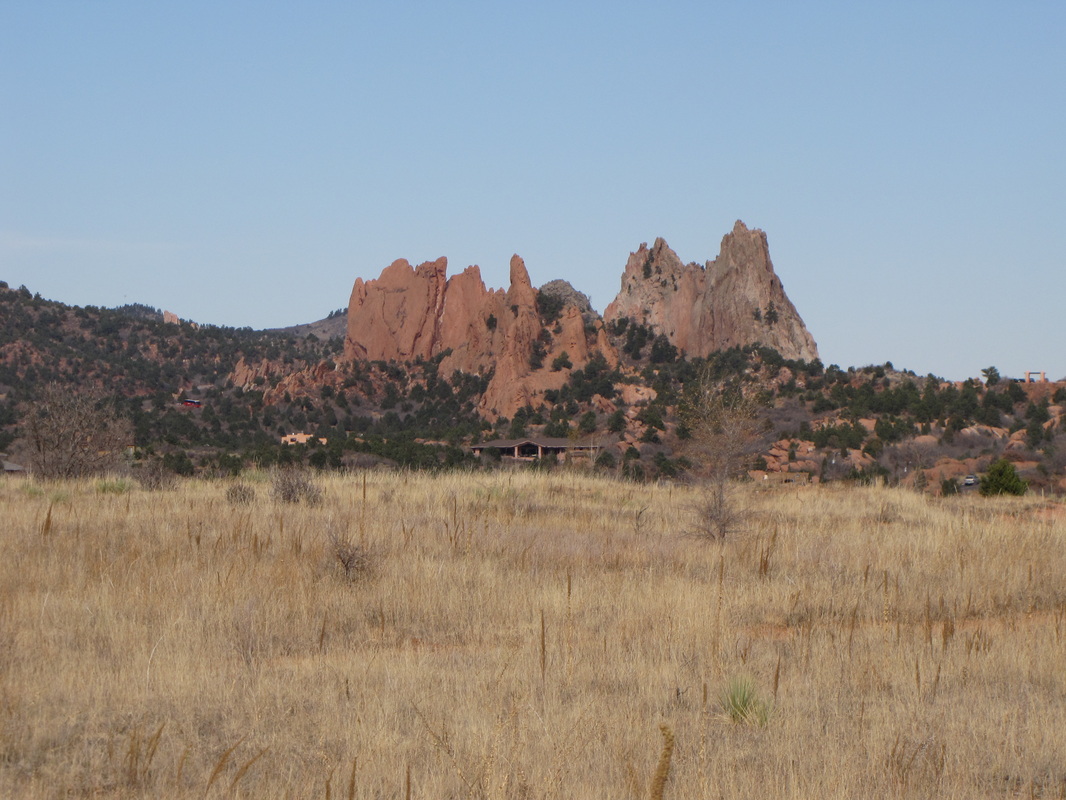
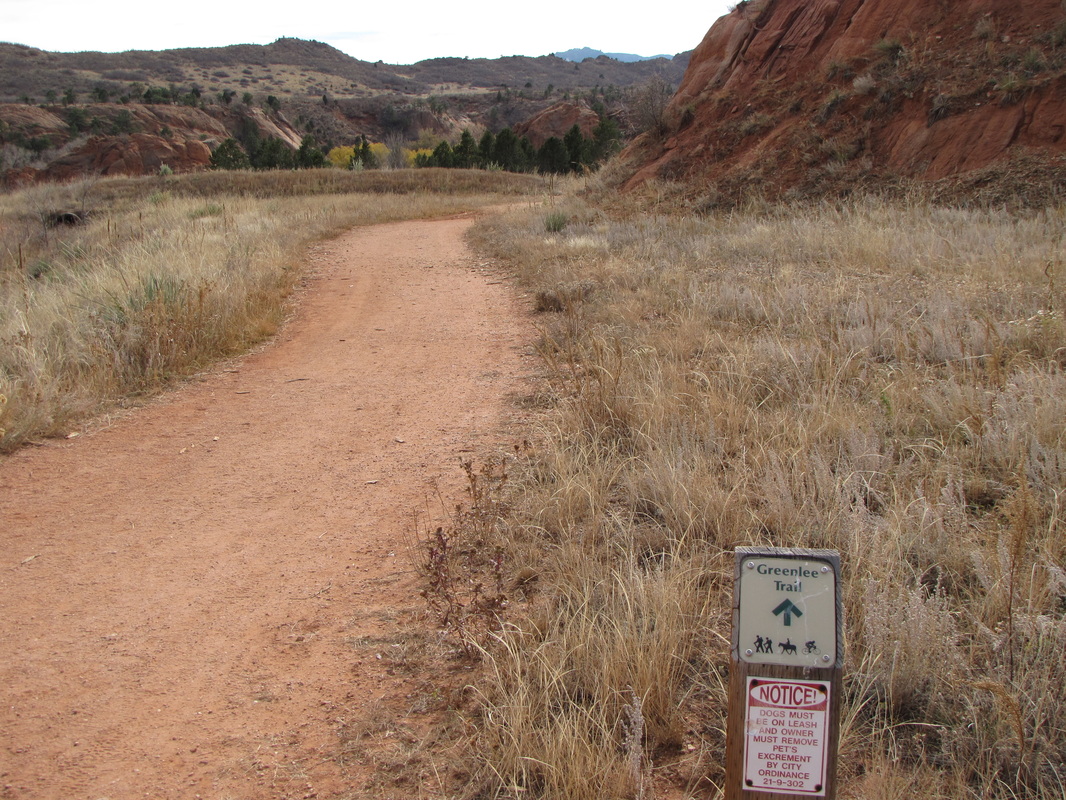
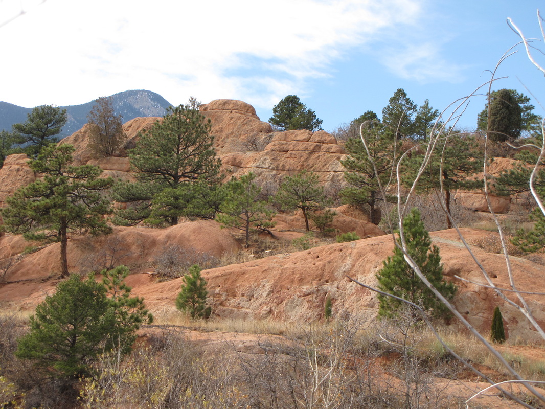
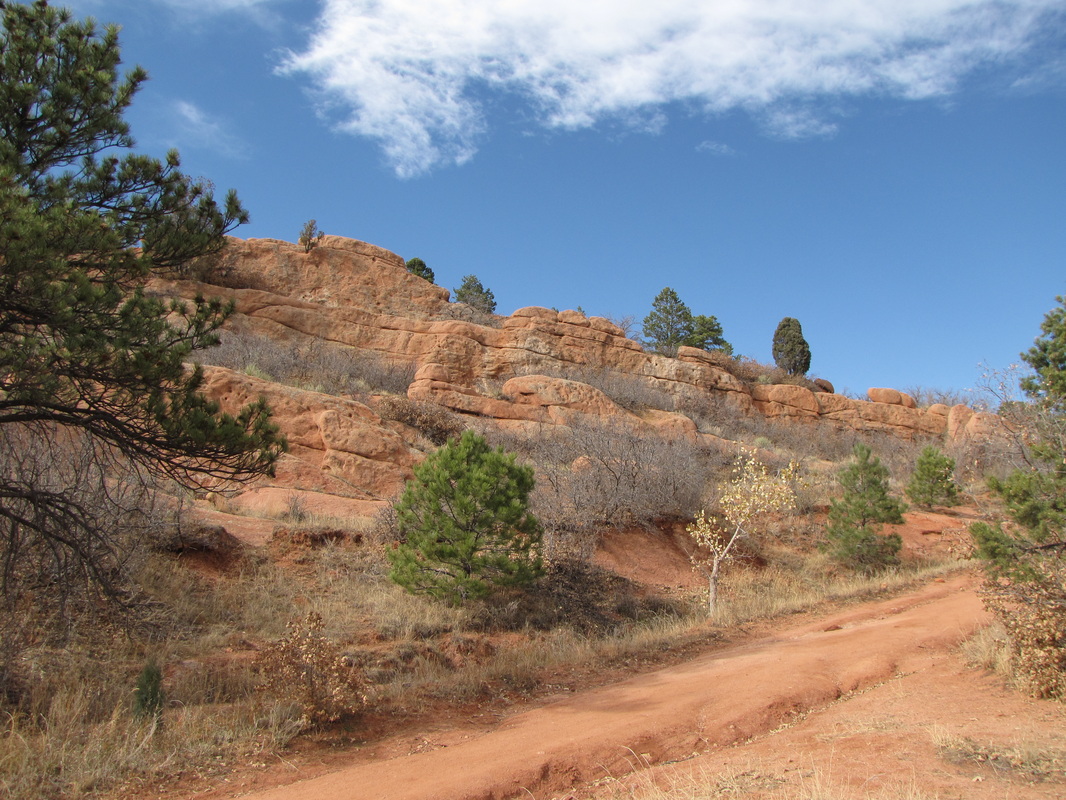
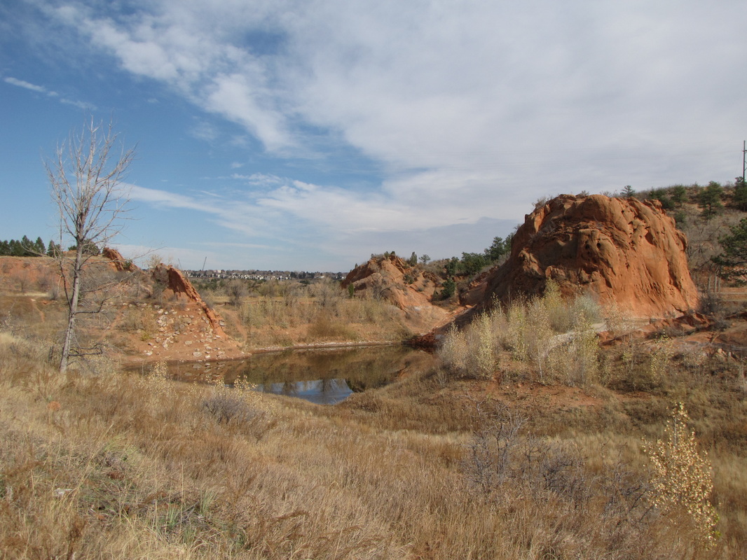
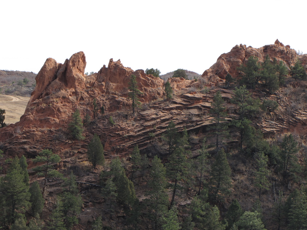
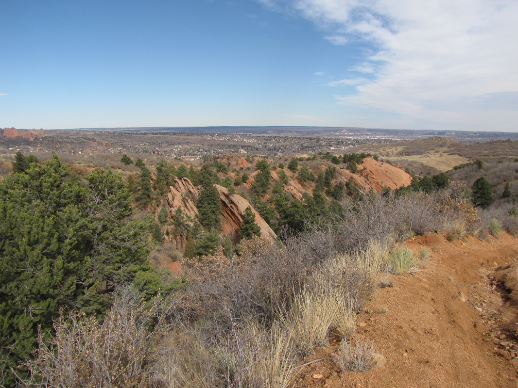
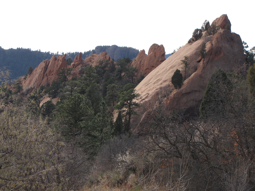
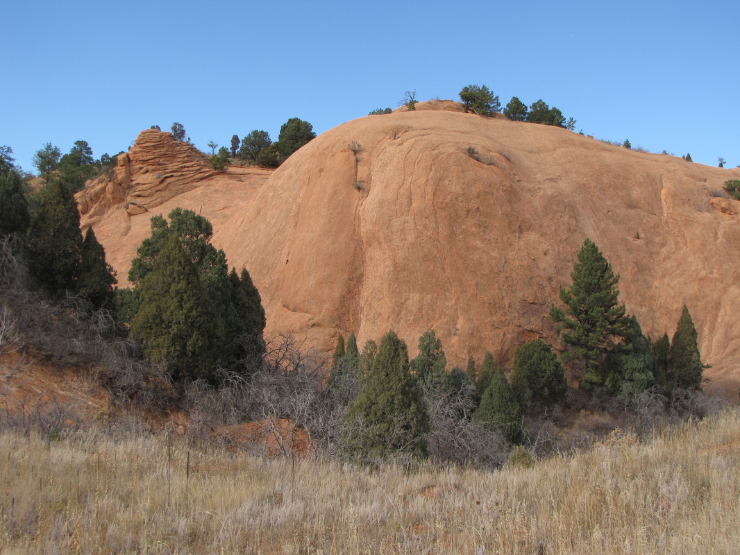
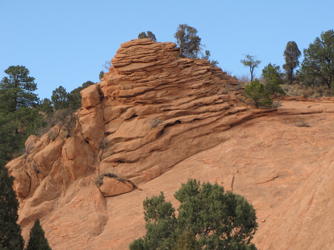
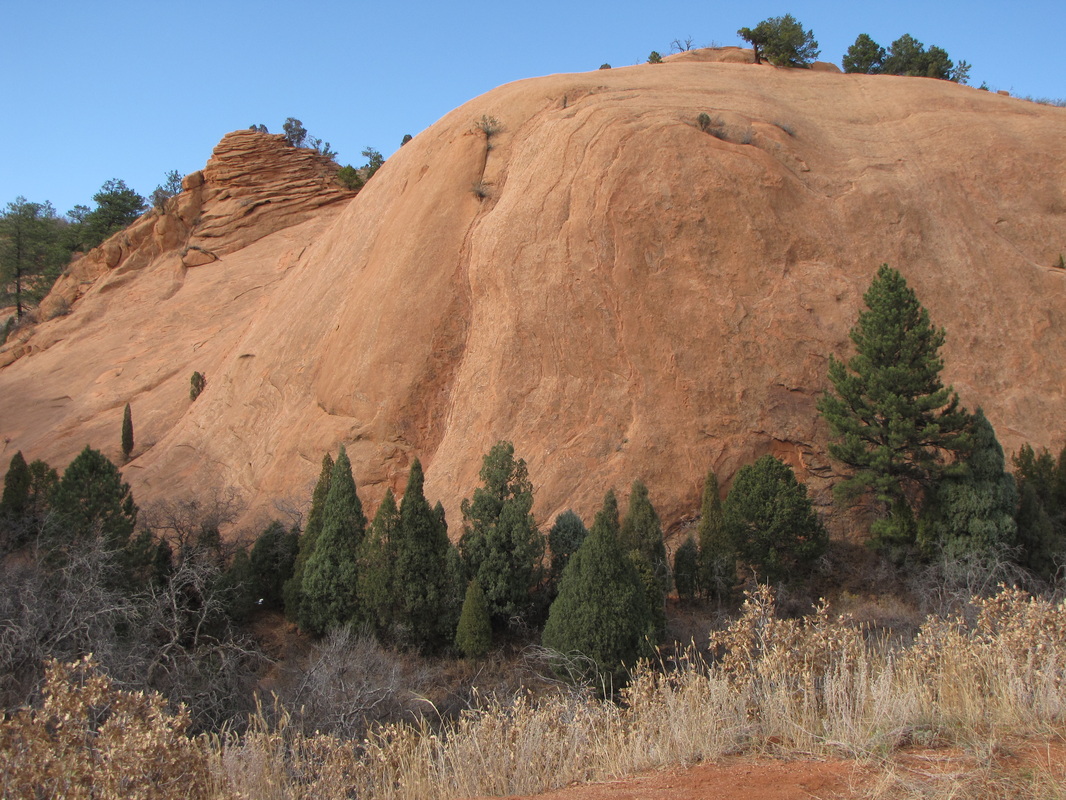
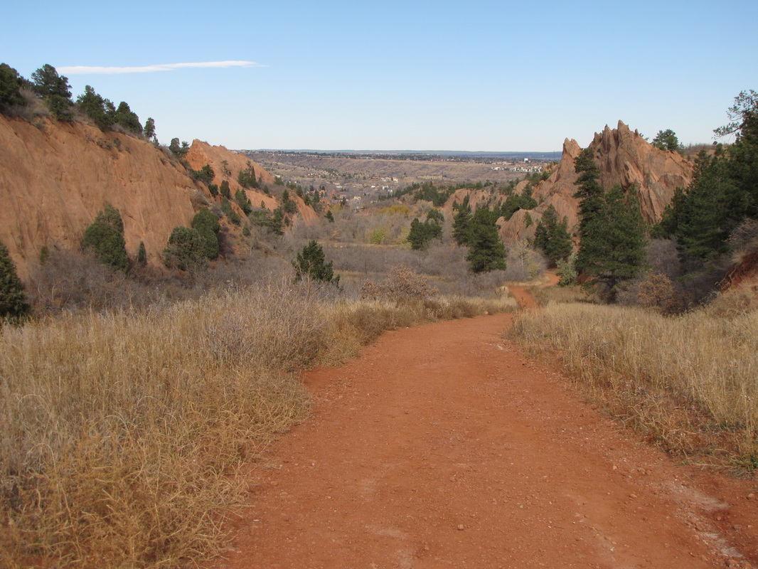
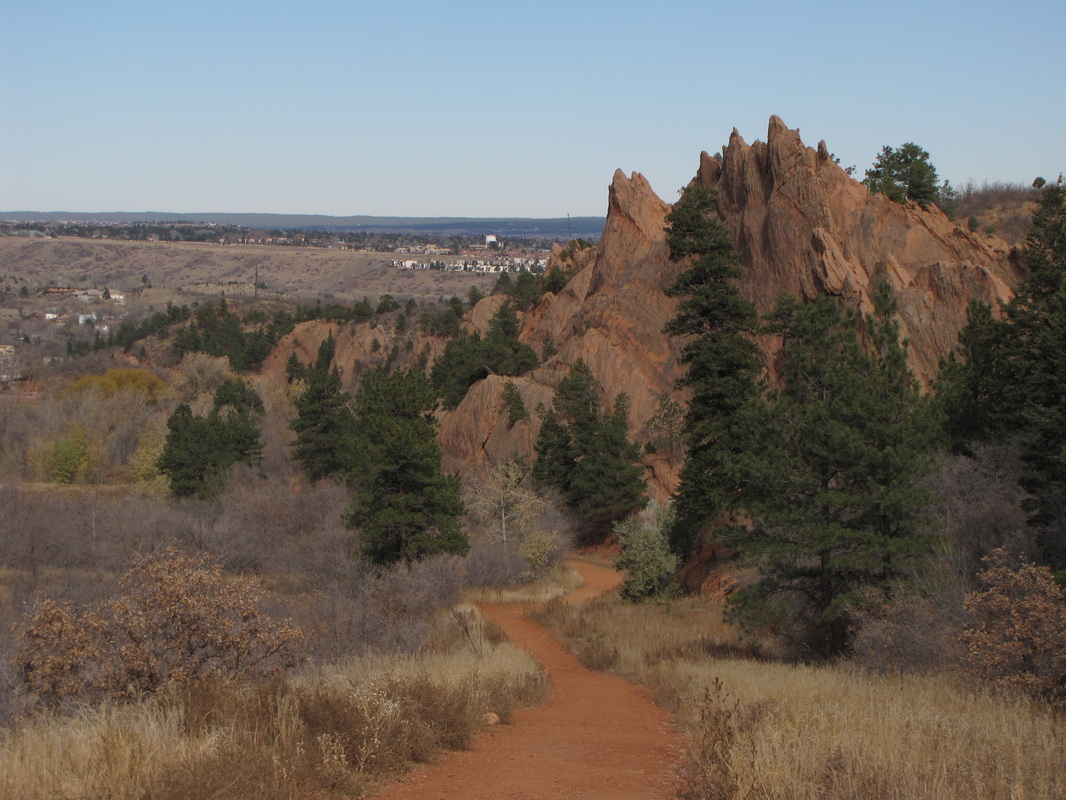
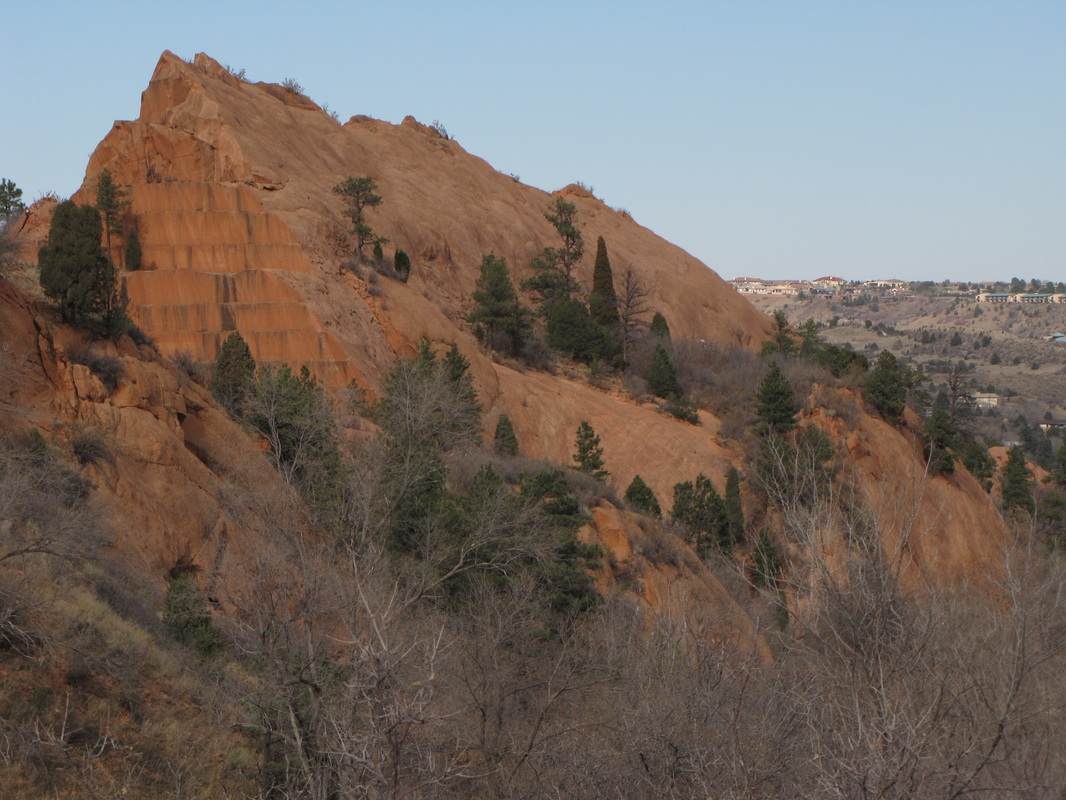
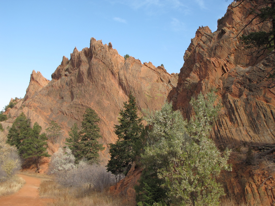
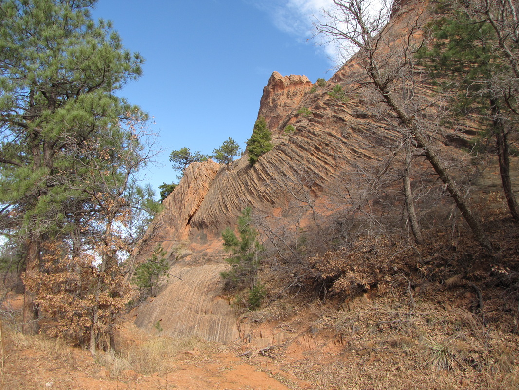
I hiked this trail back in 2009 before I was keeping detailed information on my hikes so the mileage is approximate and I don't have elevation gain data. That being said the hike was not hard and there was probably less than 1,000 ft elevation gain. I remember this being a very interesting and fun open space park so even though you'll have to do some follow up for exact descriptions, I though it worth posting some pictures and some info to get you started. The park is across from Garden of the Gods and have very similar red rock formations. While not quite as iconic as Garden of the Gods, Red Rock Canyon does offer a good alternative to the crowds then tend to build up at Garden of the Gods. The Mesa, Greenlee, and Red Rock Canyon trails offer good coverage of the main portion of the park. |
|
- HOME
- ABOUT
-
HIKES BY REGION
-
NATIONAL PARK HIKES
- BENT'S OLD FORT NATIONAL HISTORIC SITE
- BLACK CANYON OF THE GUNNISON NATIONAL PARK
- COLORADO NATIONAL MONUMENT
- CURECANTI NATIONAL RECREATION AREA
- DINOSAUR NATIONAL MONUMENT
- FLORISSANT FOSSIL BEDS NATIONAL MONUMENT
- MESA VERDE NATIONAL PARK
- ROCKY MOUNTAIN NATIONAL PARK
- GREAT SAND DUNES NATIONAL PARK
- HOVENWEEP NATIONAL MONUMENT
- SAND CREEK MASSACRE NATIONAL HISTORIC SITE
- YUCCA HOUSE NATIONAL MONUMENT
- HIKES BY CATEGORY
- NEWS
- WEBCAMS
- $UPPORT GHC
- INTERACTIVE MAP
Red Rocks Canyon Open Space
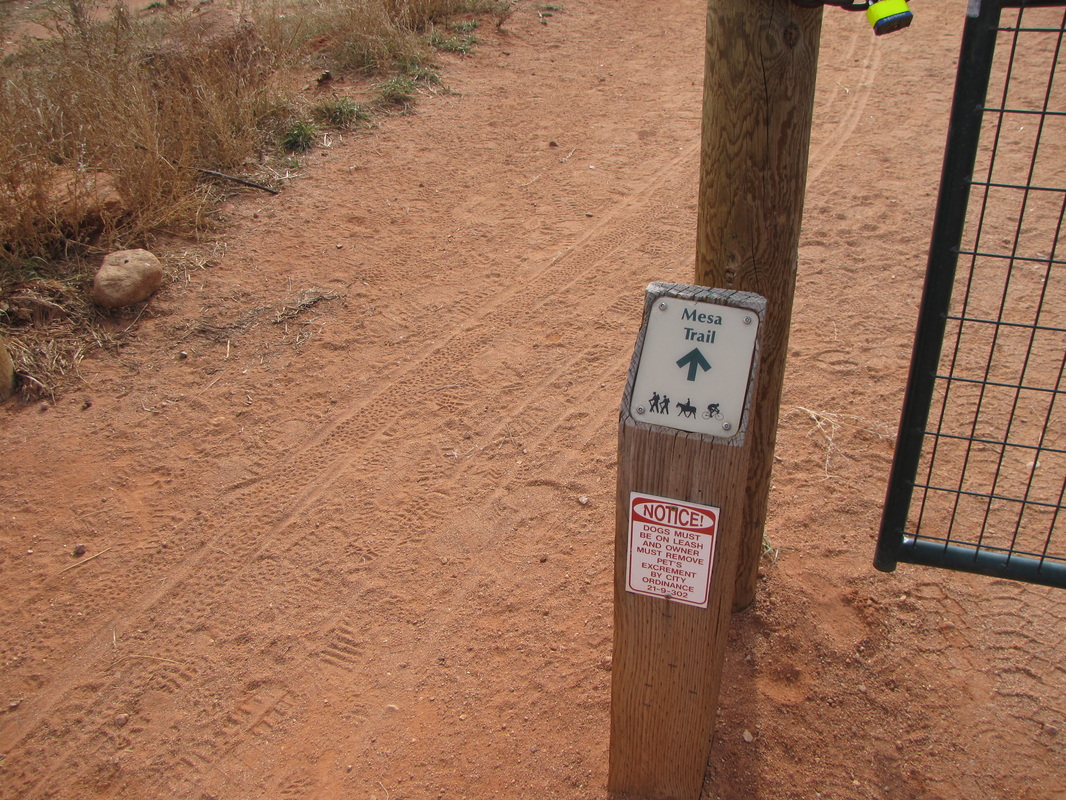
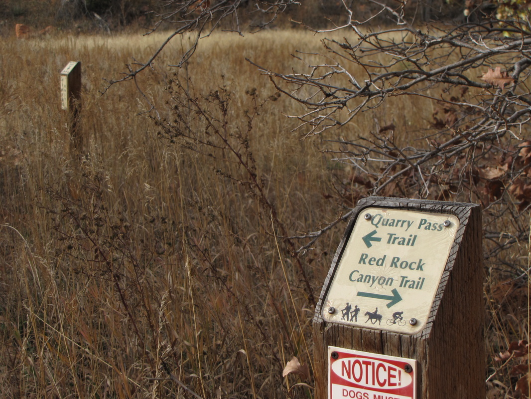
Mesa>Greenlee>Roundup>Red Rock Canyon>Quarry Pass>Red Rock Canyon Trails
Date Hiked: Nov. 6, 2009
Distance: Approx. 3.5 mi (RT)
Managing Agency: City of CO Springs Parks, Trail & Open Space
Fee: None