|
|
|
DIRECTIONS: From Canon City, take Hwy 50 west to County Road 3A. Head south on 3A for 2.7 miles to the boundary of Royal Gorge Park and the trailhead off to the right.
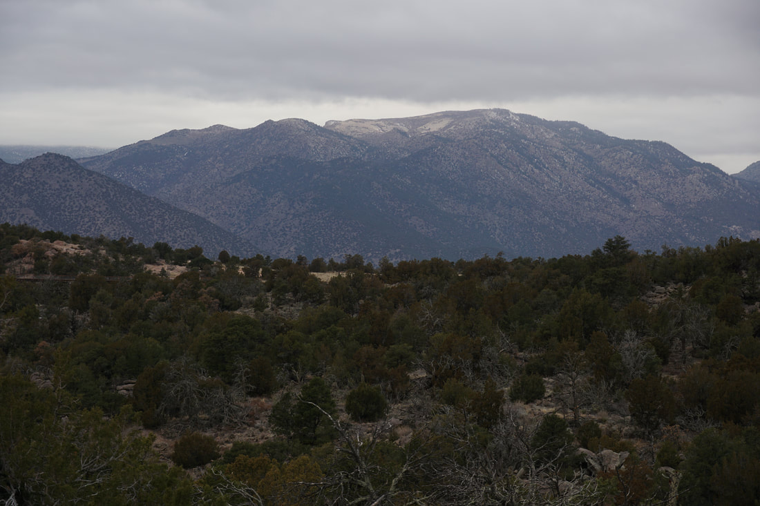
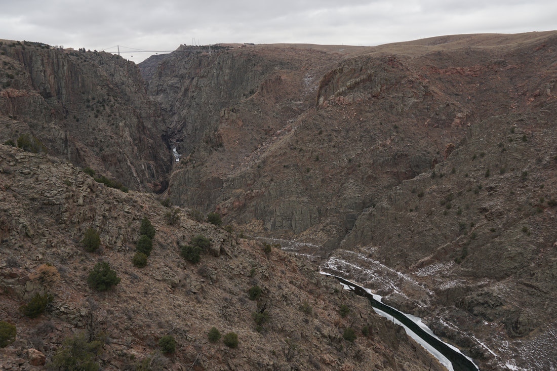
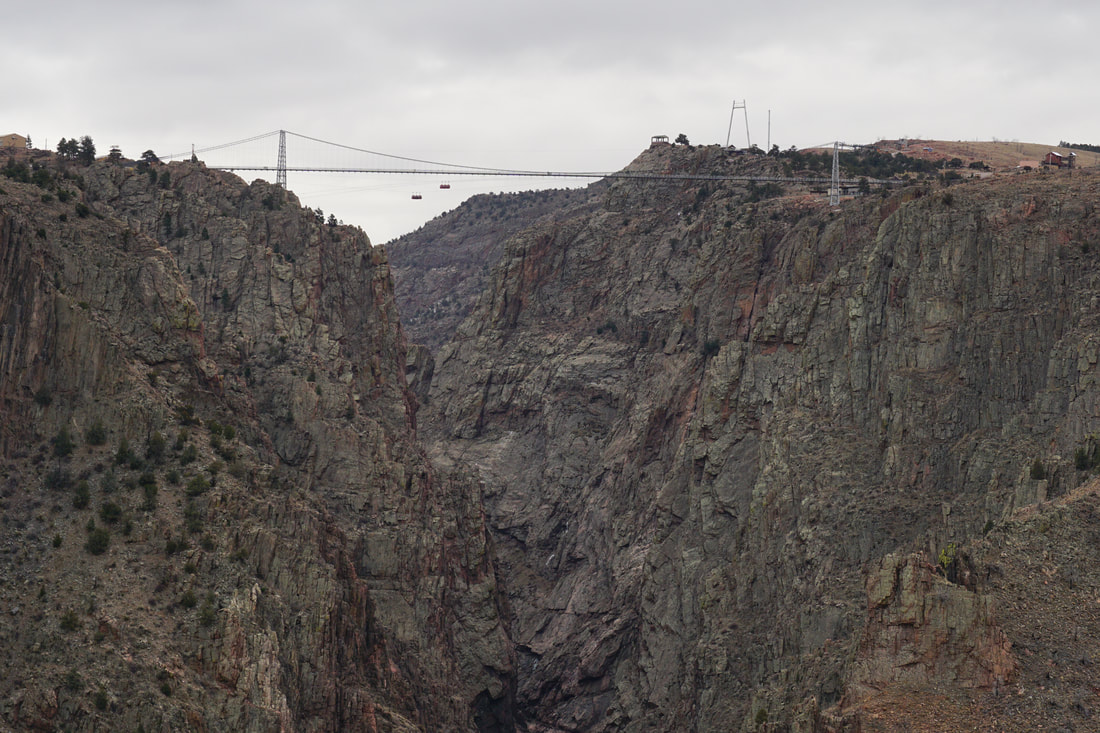
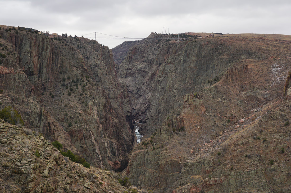
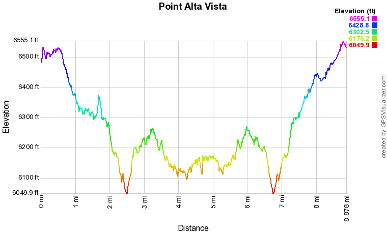
Point Alta Vista is the latest addition to the Royal Gorge Park and provides, arguably, the best view of the Gorge in the area. However...the park makes you work for it... This is the longest hike in the park and requires roughly a 9 mile hike. The trail is well built and easy to follow so it's a pleasant 9 miles...even in the winter when the weather is dry but chilly.
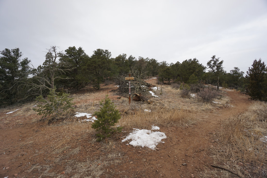
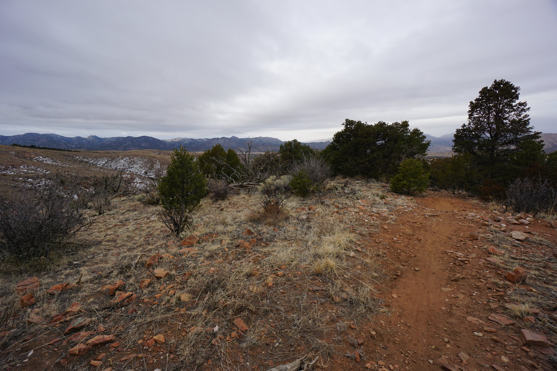
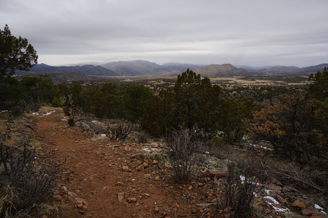
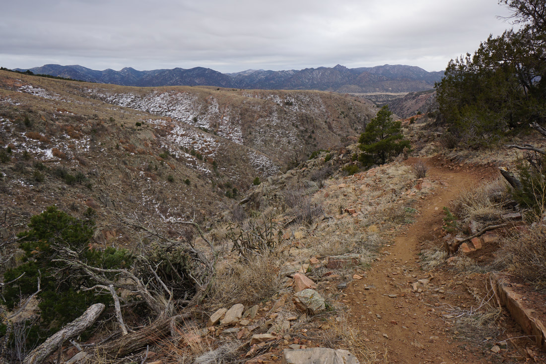
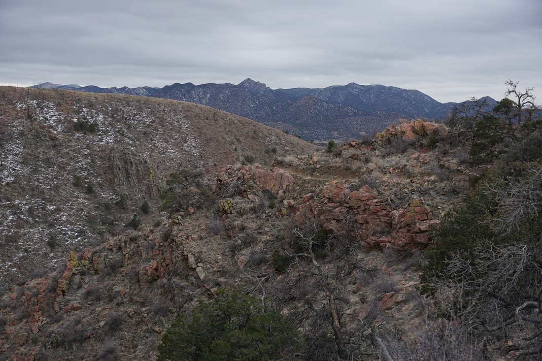
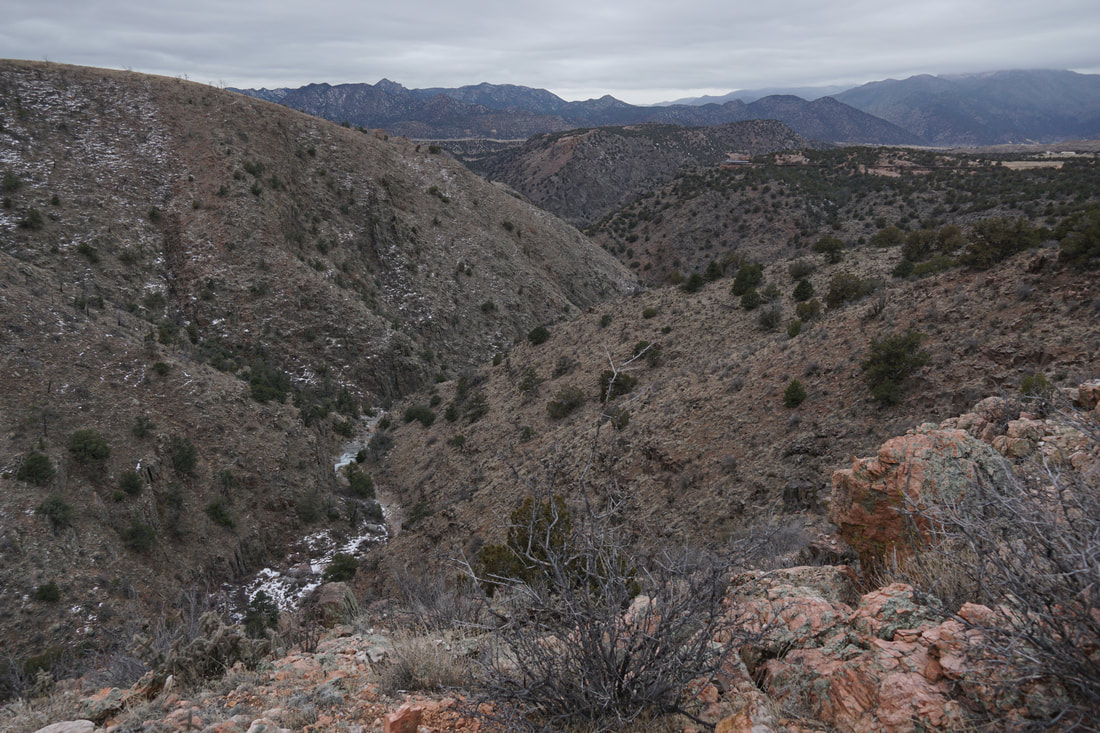
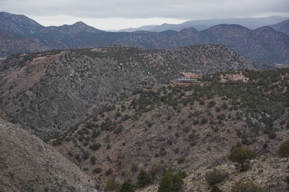
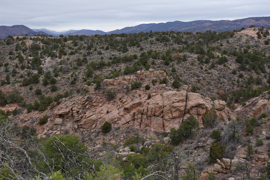
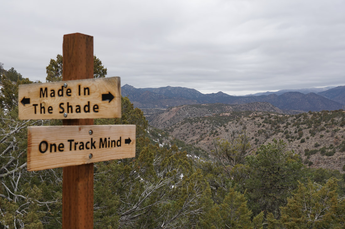
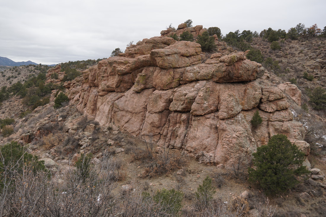
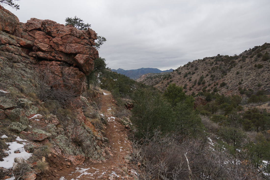
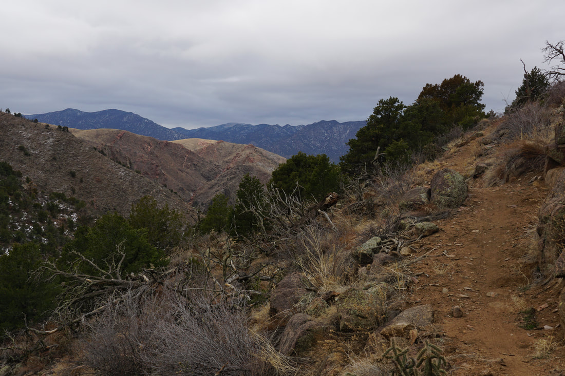
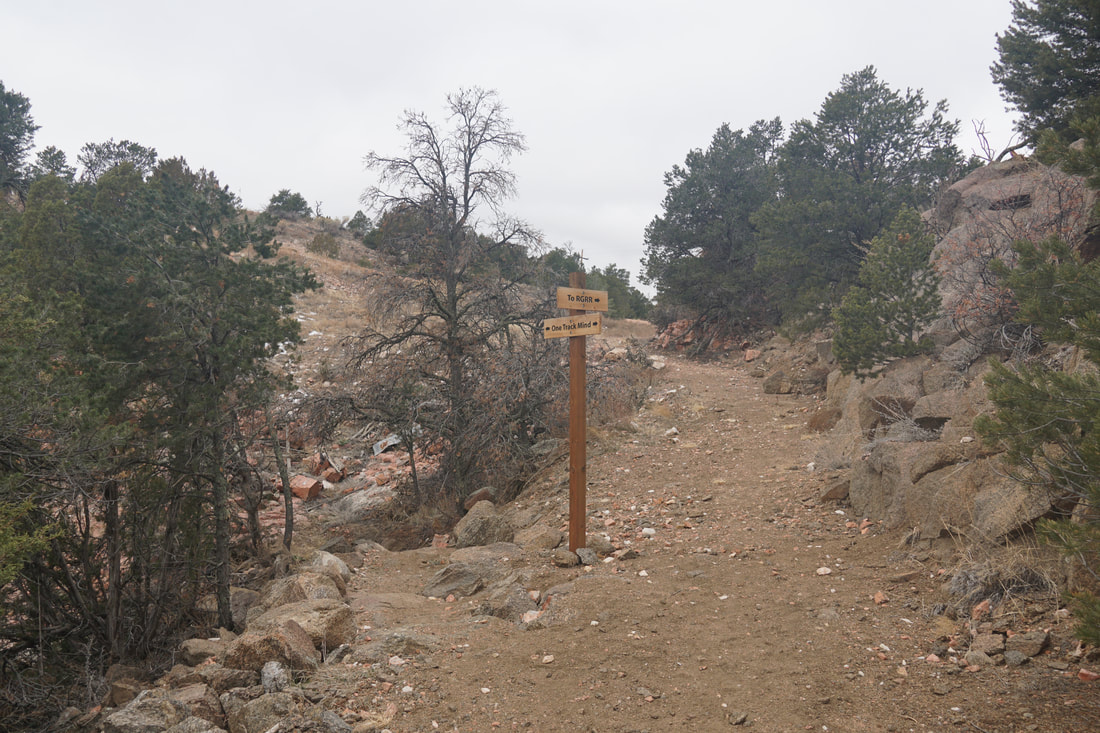
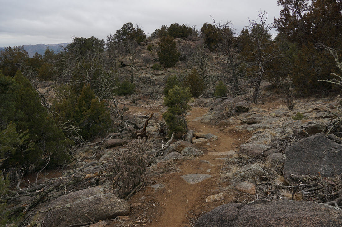
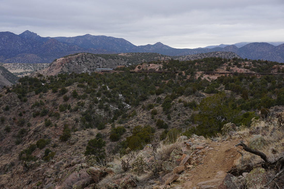
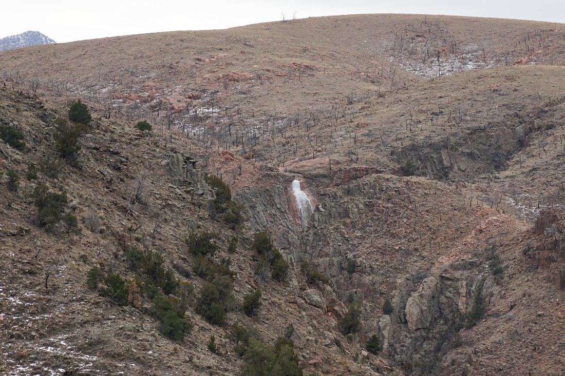
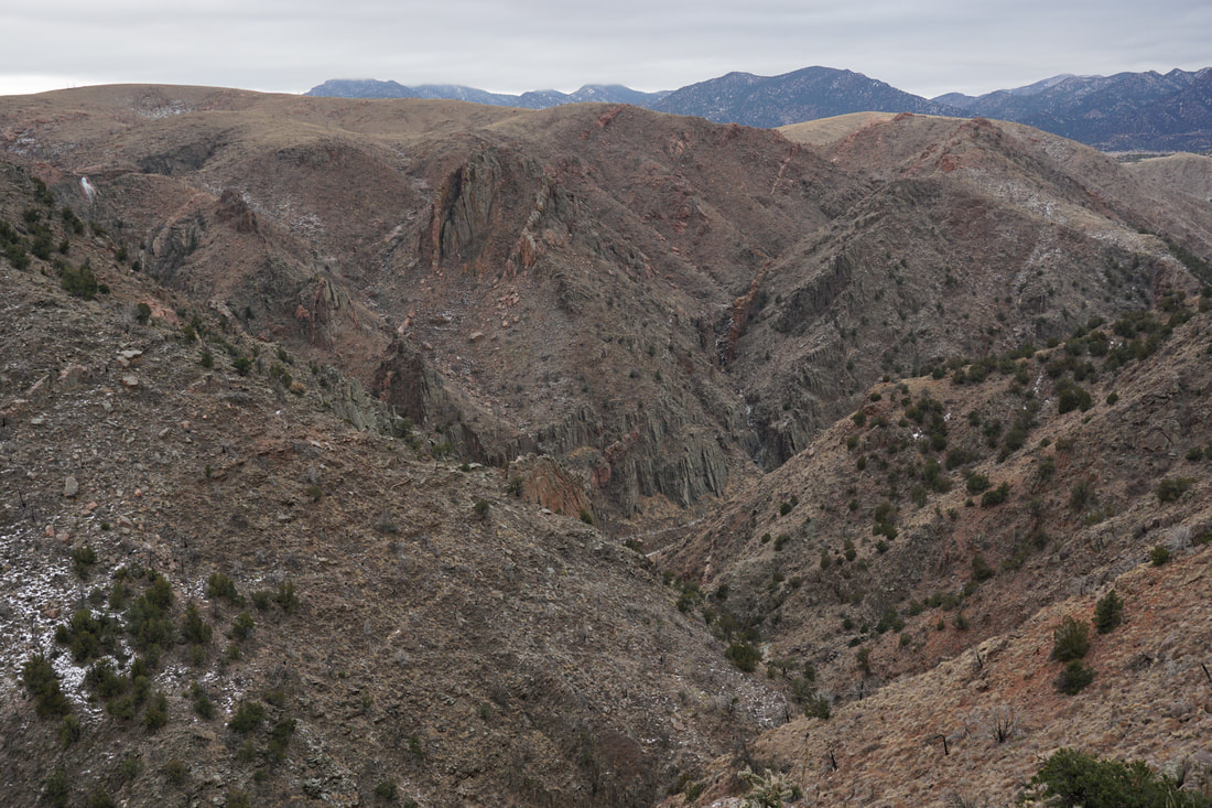
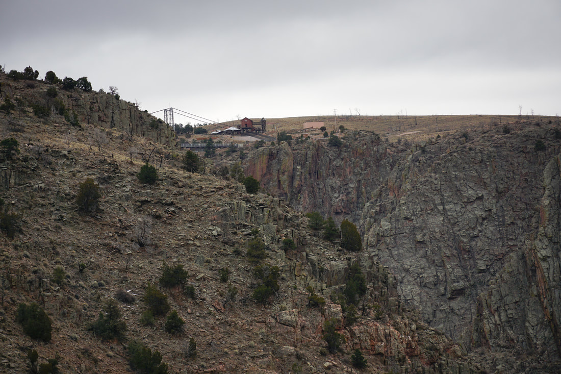
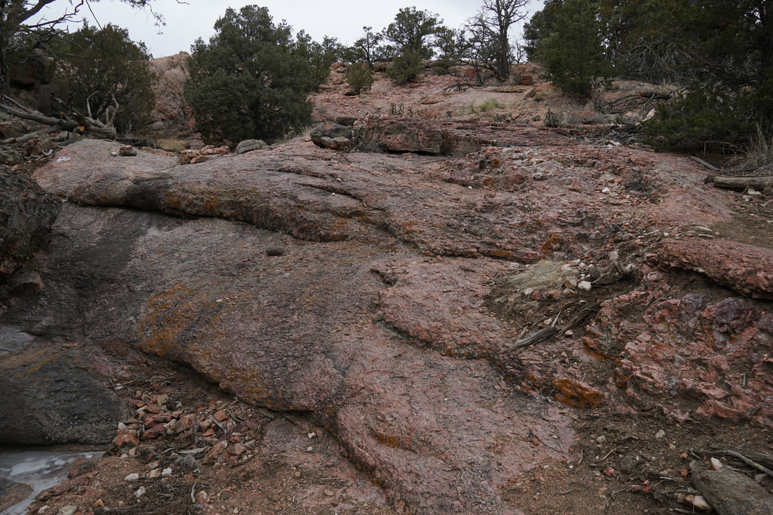
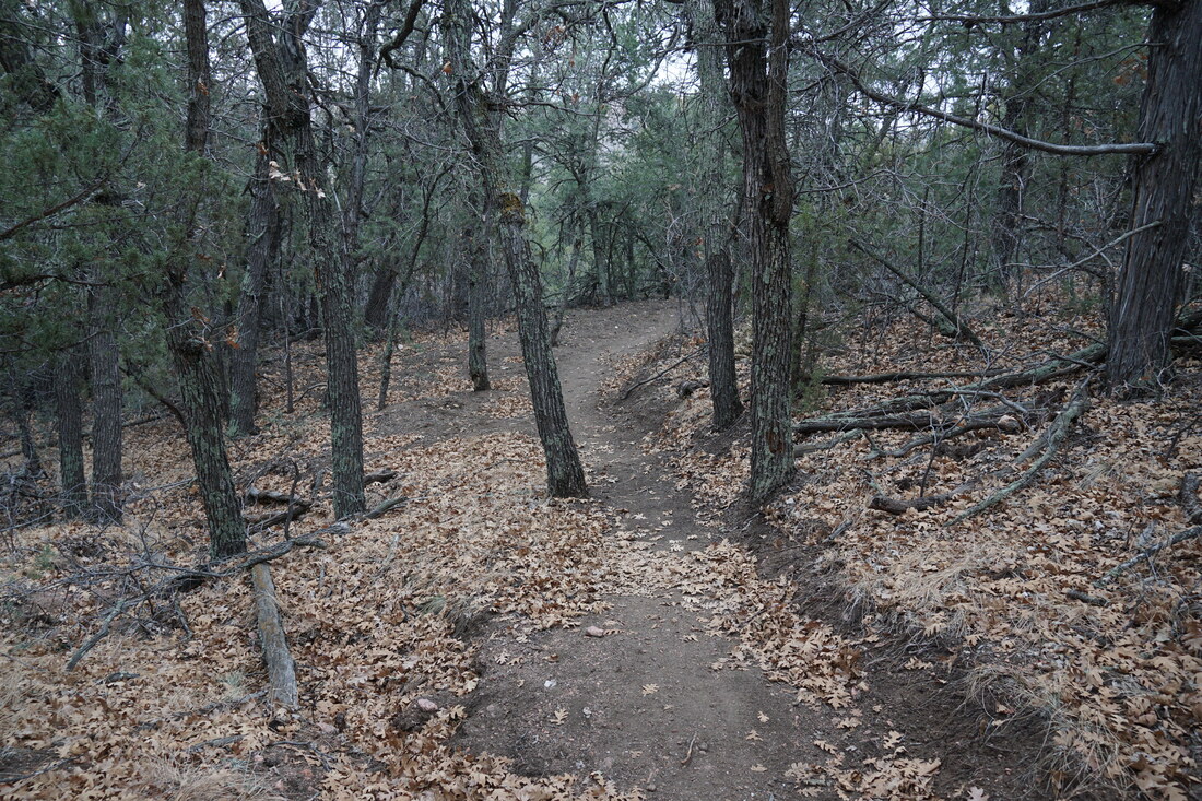
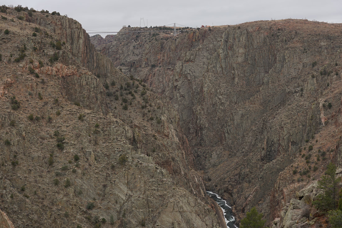
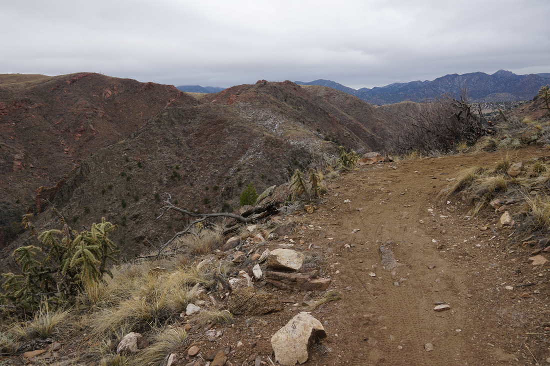
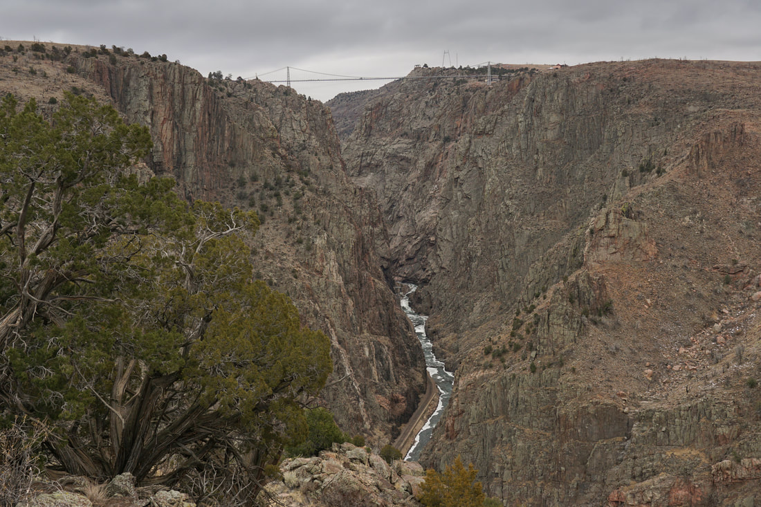
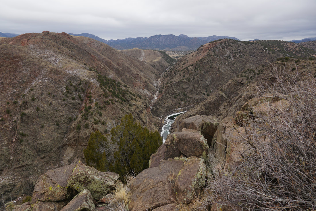
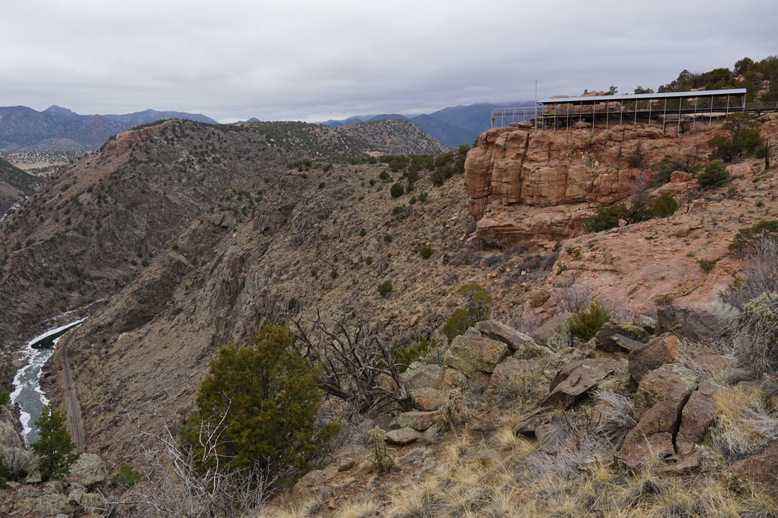
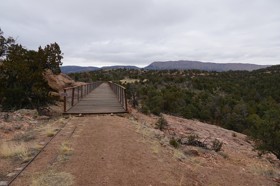
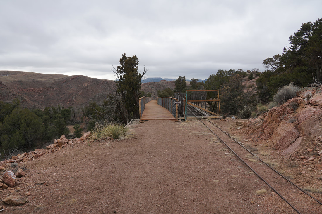
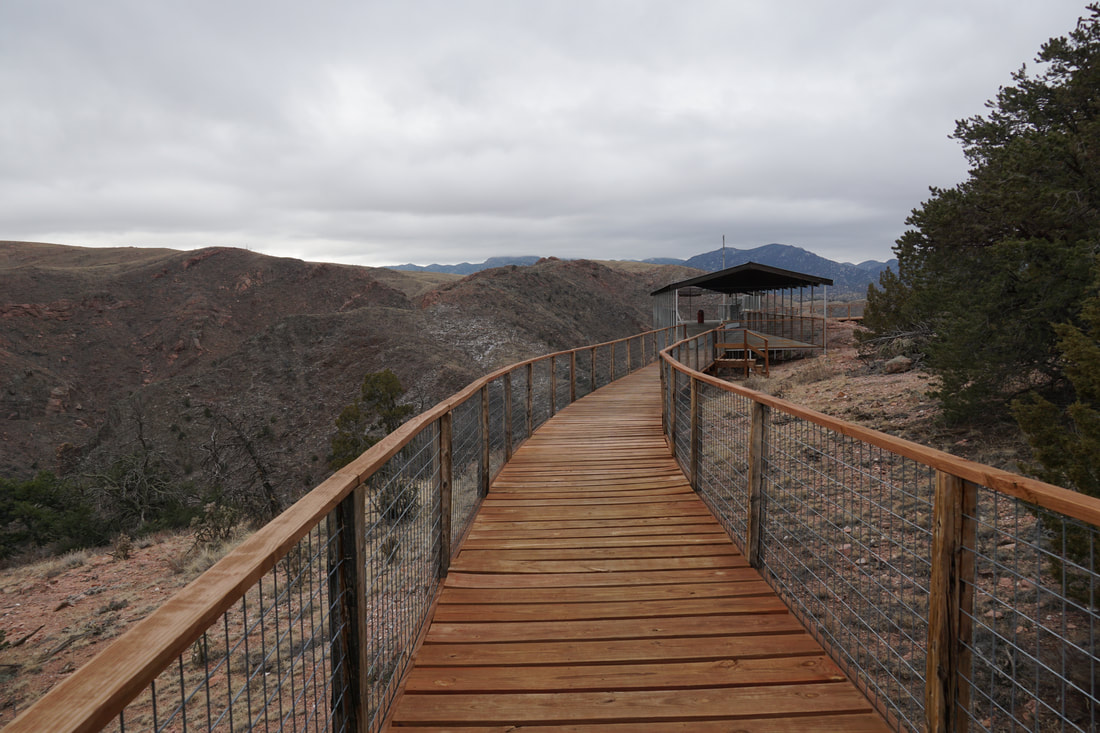
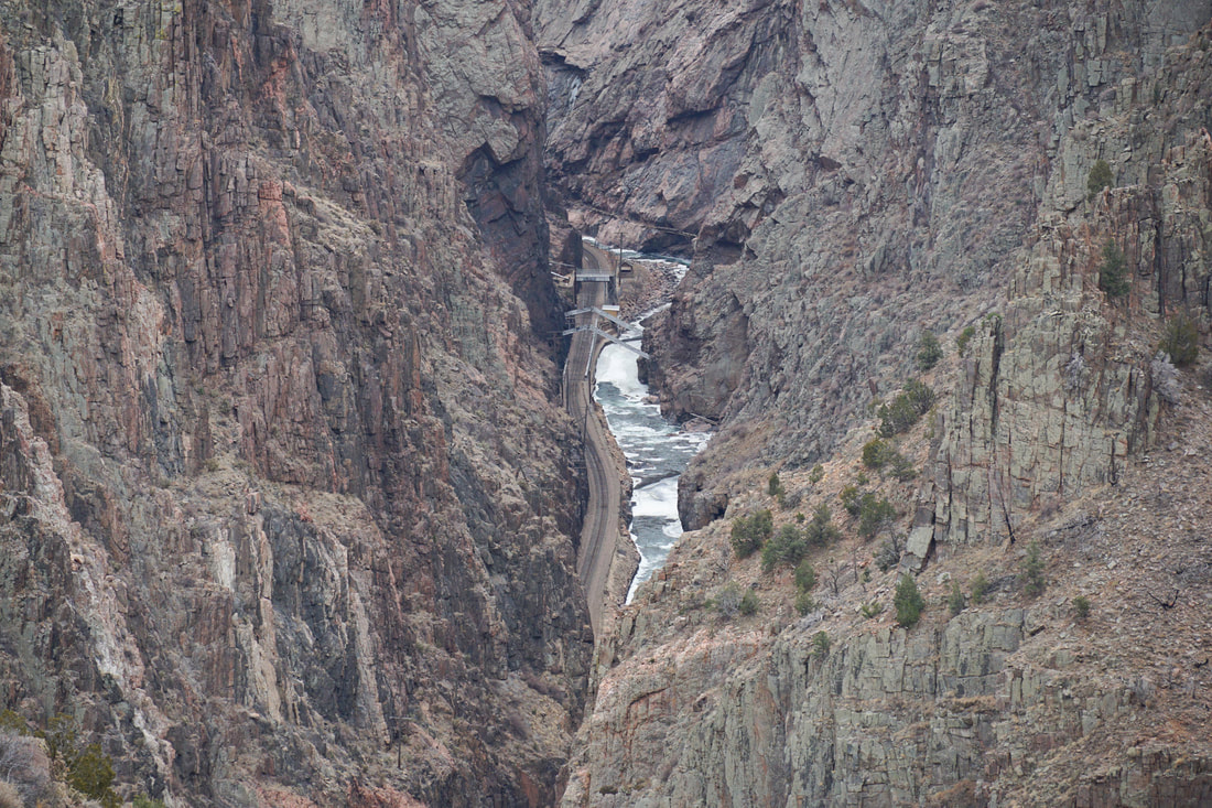
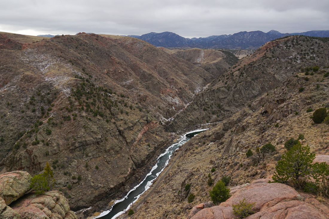
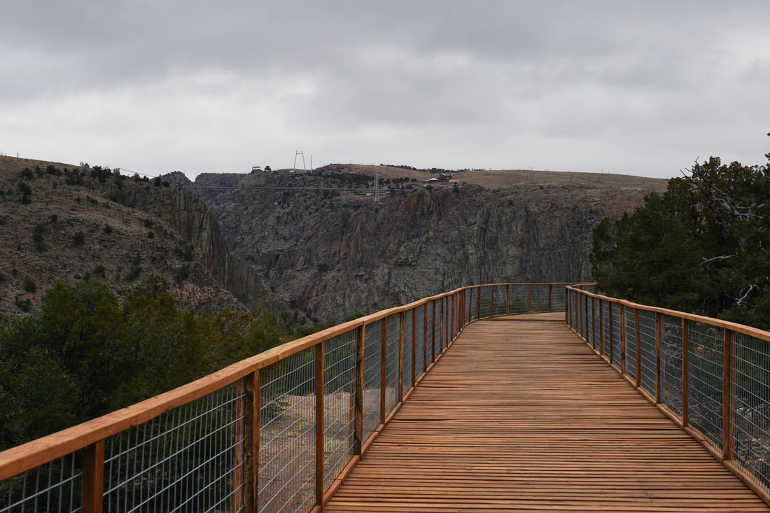
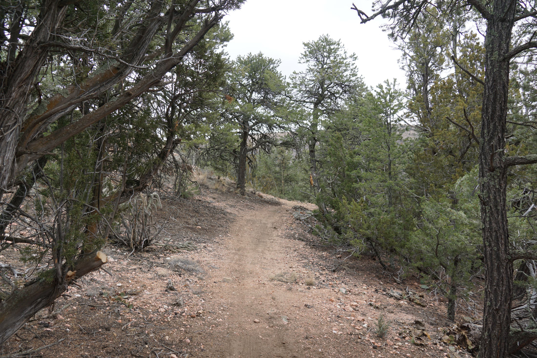
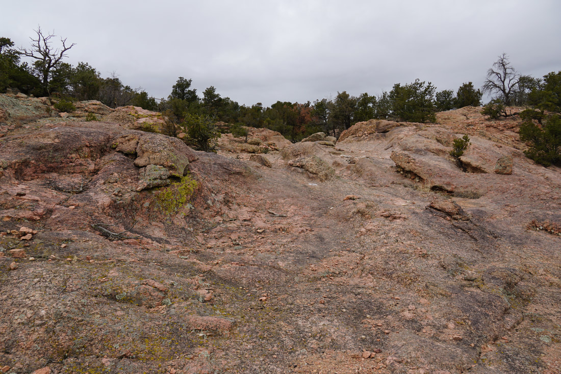
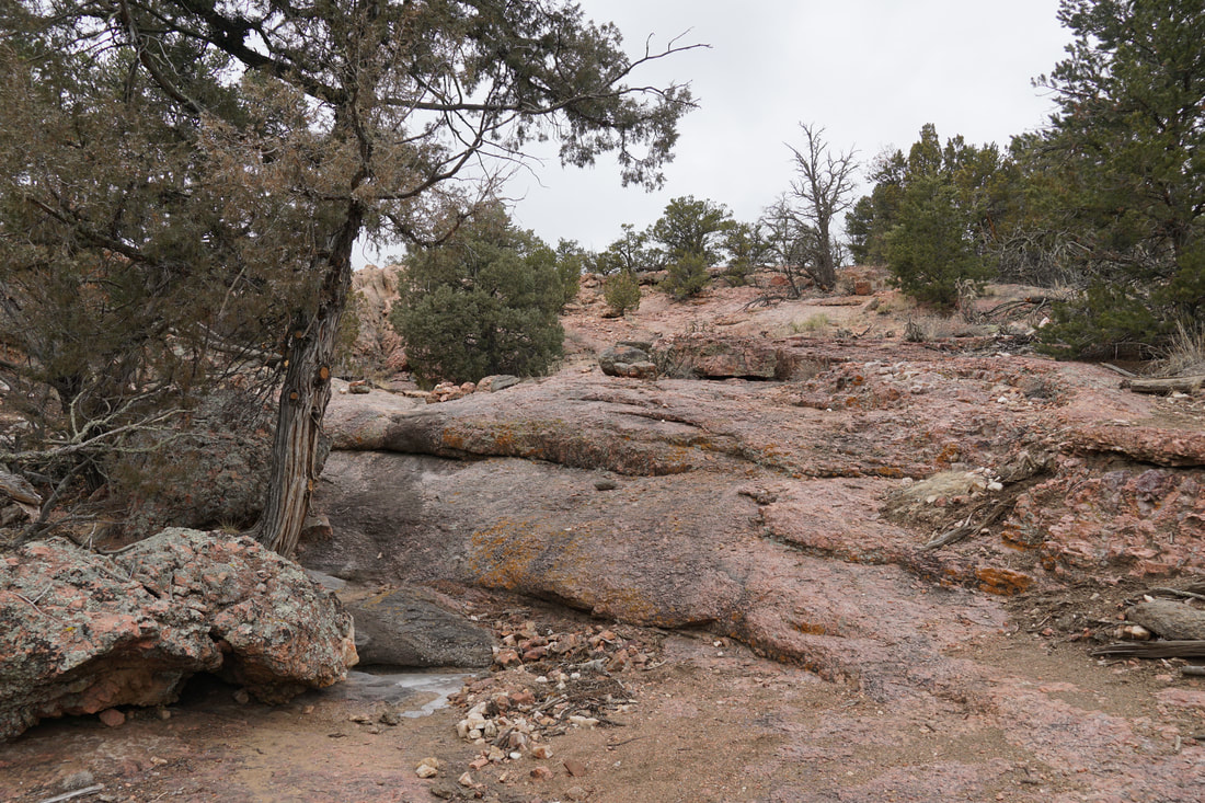
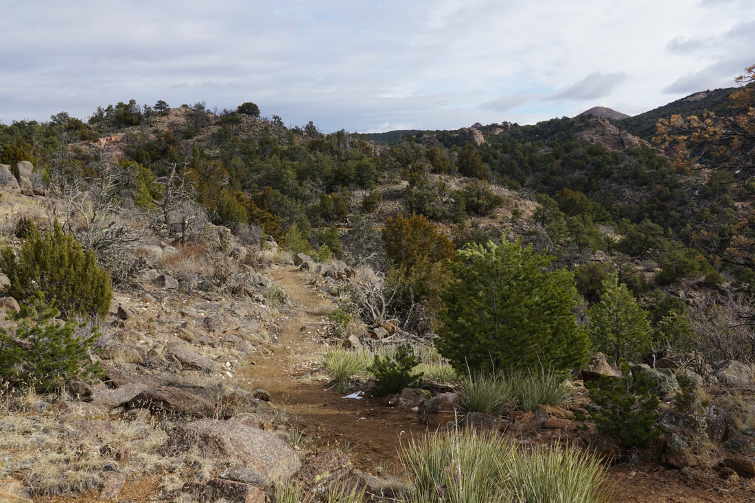
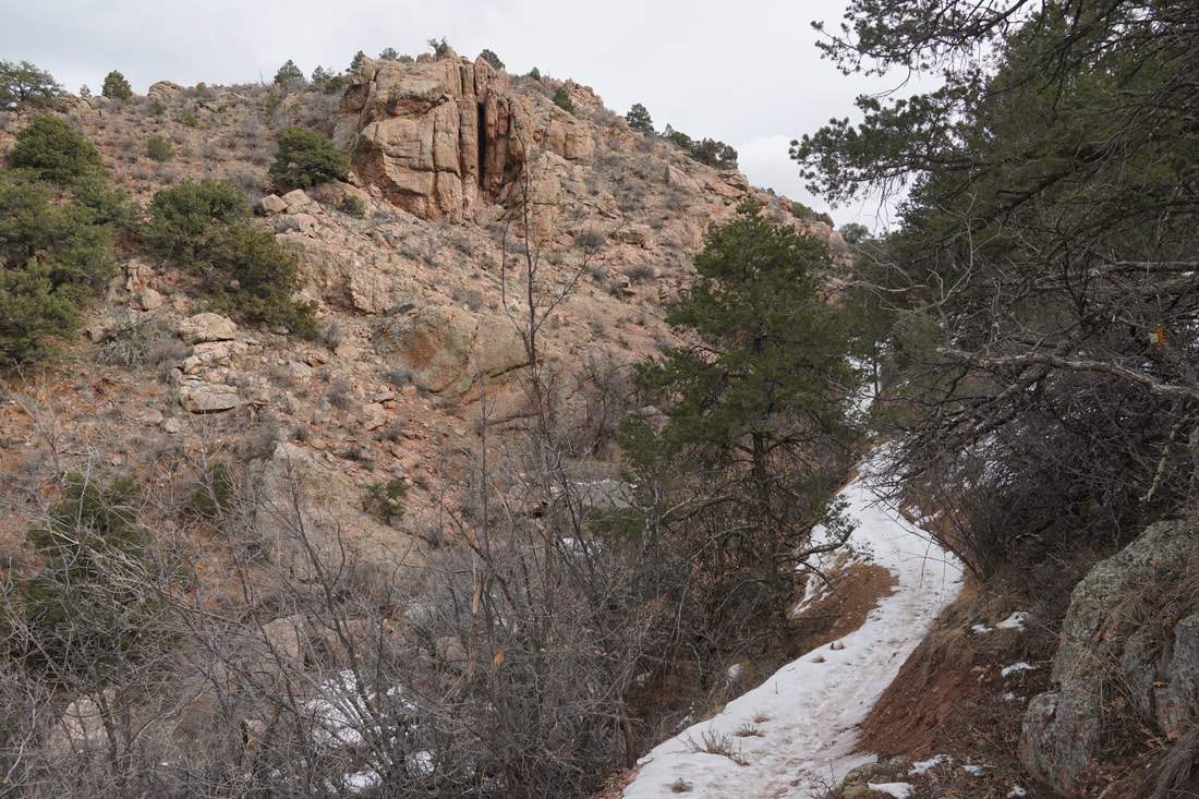
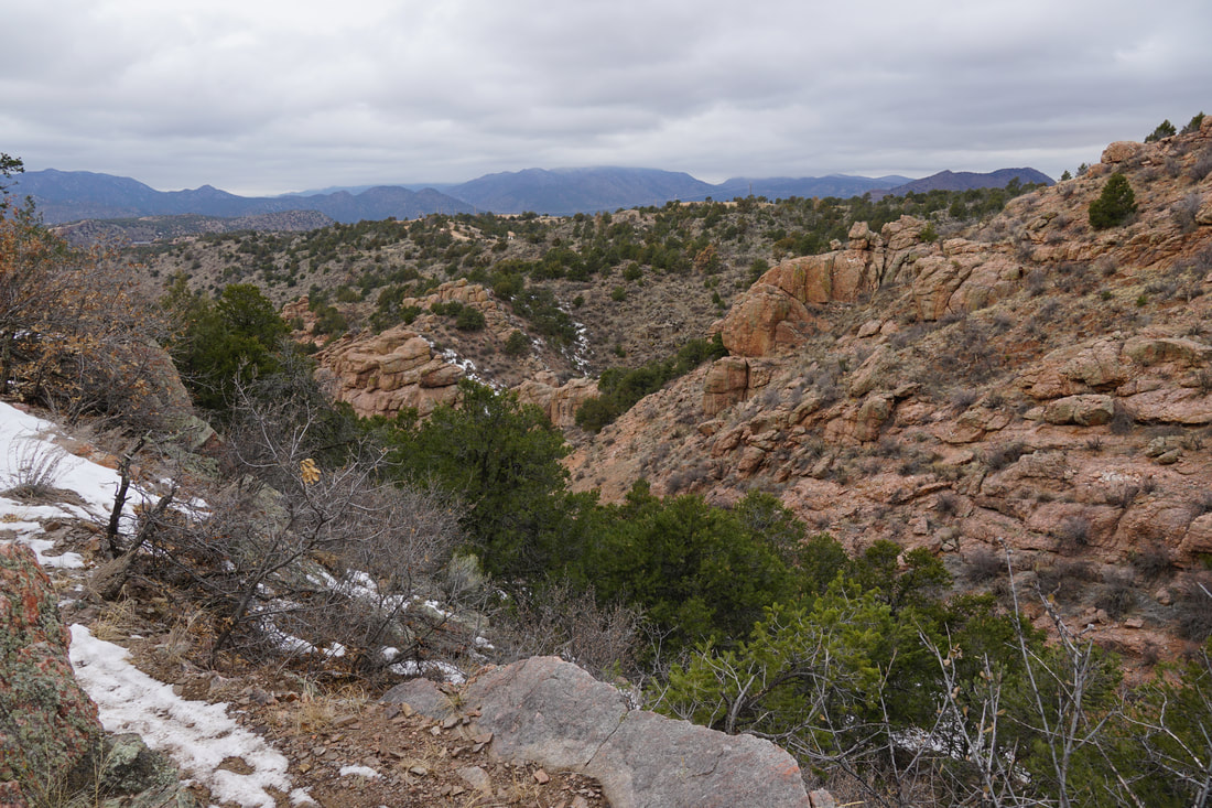
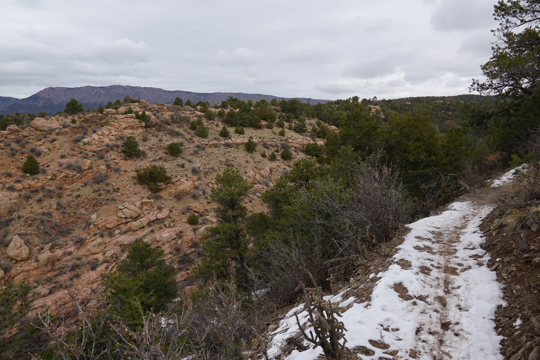
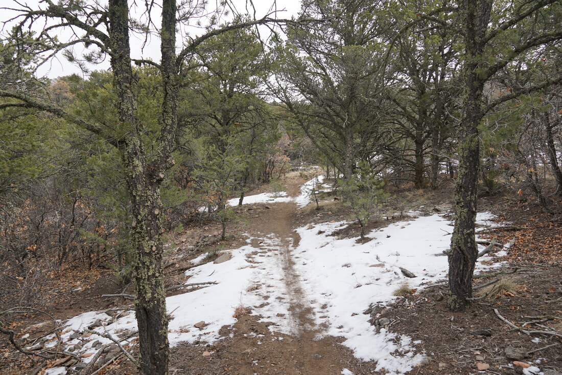
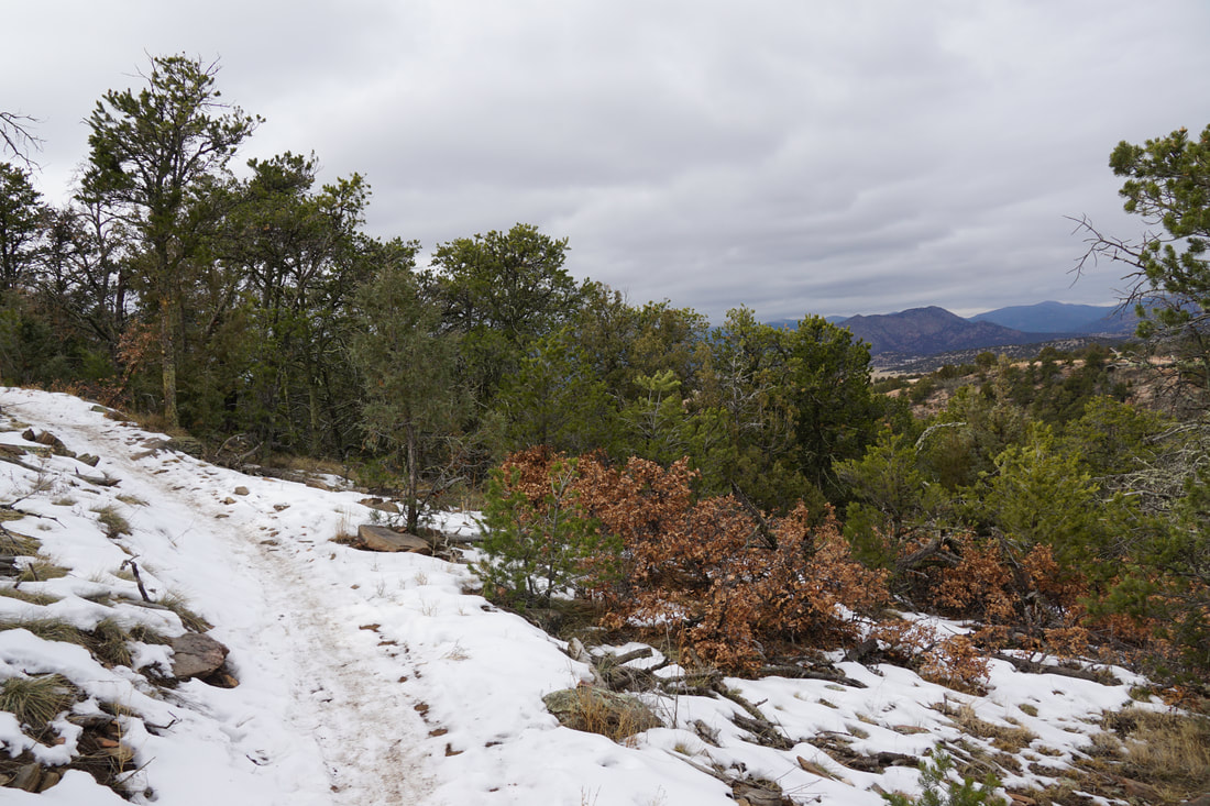
In order to get out to Point Alta Vista, you follow the One Track Mind Trail which starts along the northern end of the Made in the Shade Trail so you need to hike part (or all) of the Made in the Shade Loop. For a specific discussion of the Made in the Shade Loop, click here. From the start of the One Track Mind Trail, you descend down a beautiful red rock canyon, cross the creek and ascend the other side of the canyon. As you climb out of the canyon, the views open up and the terrain becomes hilly as you zig zag in and out of drainages. Be sure to keep an eye out for the western wall of Royal Gorge as you go. There are views of unique and amazing rock features and a water fall that you don't want to miss. Quicker than you'd think, you'll come up to the newly constructed walkway that follows an old railroad grade and leads to the overlook. However, the trail comes close, then leads away from the walkway to circle the point before returning to the walkway. You can take a short cut up to the walkway but the best view of the gorge is along the trail, so I suggest following the trail until its natural end. When you arrive at the walkway, head west towards the large viewing platform. The views are tremendous! The view of the Royal Gorge Bridge and the towering gorge itself are nothing short of incredible. Equally impressive is the view of the Arkansas River cutting through the land out to the west. These views make this spot a must see for all Colorado hikers. When you are done ogling the view, return to the walkway. When you return to the spot where you joined the walkway, descend onto the slick rock, looking for the white painted trail markings. Follow these markings as they lead across an area meant to be a natural terrain park for mountain biking. Follow the trail markers and you'll soon regain the One Track Mind Trail, bypassing the zigzagging that you followed on your way to Point Alta Vista. From here you return the same way you came. When you rejoin the Made in the Shade Trail, you can either follow the same path back to the trailhead or complete the loop for an 8.8 mile hike. This hike is the hardest hike in the park but it may very well be considered the premiere trail in the park. The views are awesome and certainly on par with the views from the Canyon Rim & Canyon Vista Trails. |
|