GO HIKE COLORADO
Get in Touch:
  • HOME
  • ABOUT
  • HIKES BY REGION
    • DENVER AREA >
      • Denver Mountain Parks
      • Jefferson County Open Space
      • Lakewood Parks
      • Denver Area Greenways
    • BOULDER AREA
    • DOUGLAS COUNTY
    • FORT COLLINS AREA
    • COLORADO SPRINGS AREA
    • FRONT RANGE
    • TENMILE & MOSQUITO RANGES
    • GORE RANGE
    • SANGRE DE CRISTO MOUNTAINS
    • PARK RANGE
    • SAWATCH RANGE
    • ELK MOUNTAINS
    • SAN JUAN MOUNTAINS
    • THE FLAT TOPS
    • GRAND MESA
    • COLORADO PLATEAU
    • EASTERN PLAINS
  • NATIONAL PARK HIKES
    • BENT'S OLD FORT NATIONAL HISTORIC SITE
    • BLACK CANYON OF THE GUNNISON NATIONAL PARK
    • COLORADO NATIONAL MONUMENT
    • CURECANTI NATIONAL RECREATION AREA
    • DINOSAUR NATIONAL MONUMENT
    • FLORISSANT FOSSIL BEDS NATIONAL MONUMENT
    • MESA VERDE NATIONAL PARK
    • ROCKY MOUNTAIN NATIONAL PARK
    • GREAT SAND DUNES NATIONAL PARK
    • HOVENWEEP NATIONAL MONUMENT
    • SAND CREEK MASSACRE NATIONAL HISTORIC SITE
    • YUCCA HOUSE NATIONAL MONUMENT
  • HIKES BY CATEGORY
    • HIKES TO ALPINE LAKES
    • HIKES TO PEAKS & PASSES
    • HIKES THROUGH CANYONS
    • HIKES WITH FALL COLORS
    • HIKES ALONG THE I-70 CORRIDOR
    • HIKES ON PAVED TRAILS
    • HIKES FOR KIDS
    • HIKES TO WATERFALLS
    • HIKES ALONG RIVERS
    • HIKES WITH ROCK FORMATIONS
    • HIKES WITH WILDFLOWERS
    • WINTER HIKES
  • NEWS
  • WEBCAMS
  • $UPPORT GHC
  • INTERACTIVE MAP

Pioneer Point Overlooks Trail
Curecanti National Recreation Area

Date Hiked: April 23, 2017

Distance: .5 mi (RT)
Elevation Gain: 100 ft
Elevation Min/Max: 7,974 to 8,044 ft
Trailhead Lat/Long:38º 27' 14" N; 107º 24' 54" W 
Managing Agency: National Park Service
​Fee: None

Curecanti NRA Website (NPS)
Picture

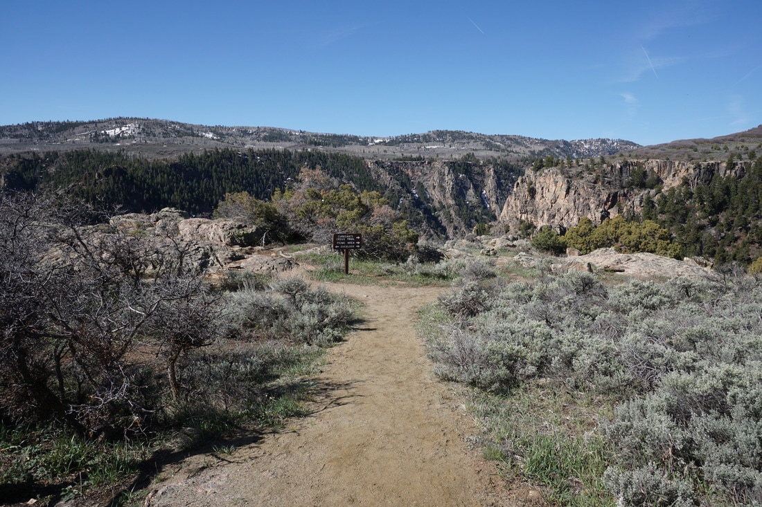
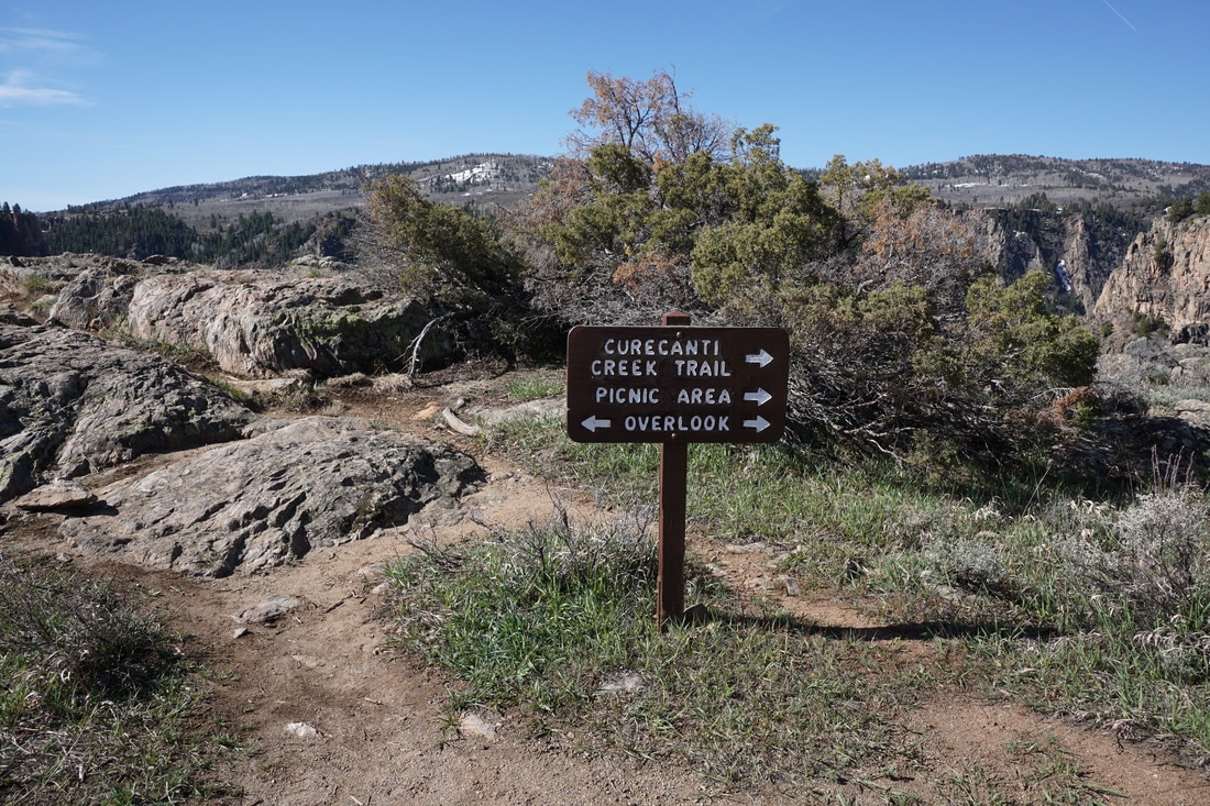
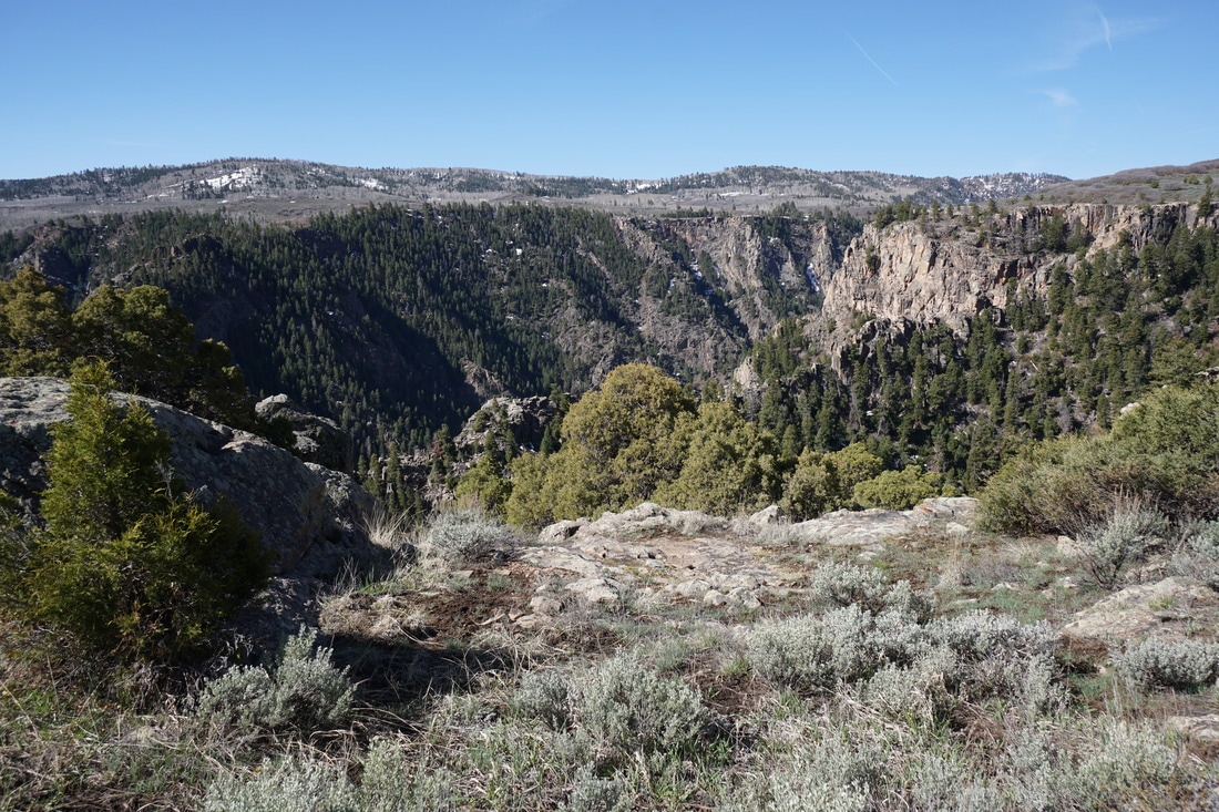
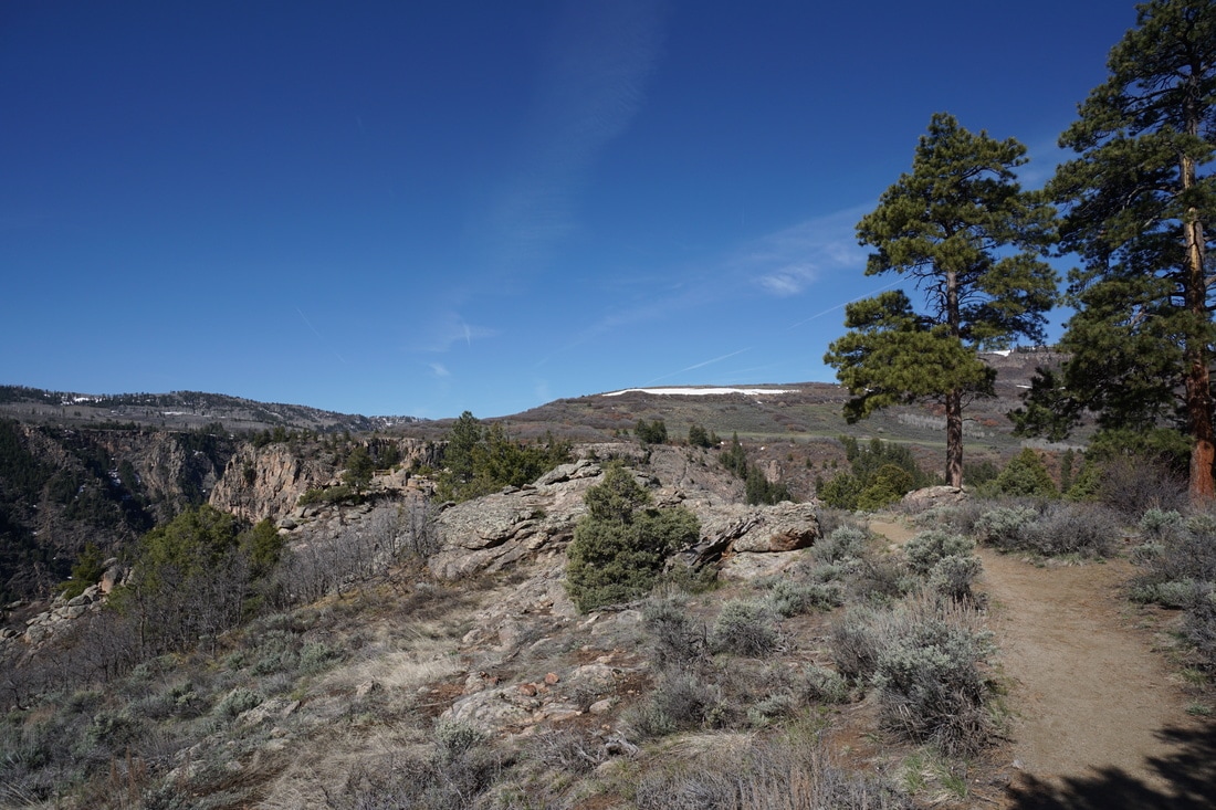
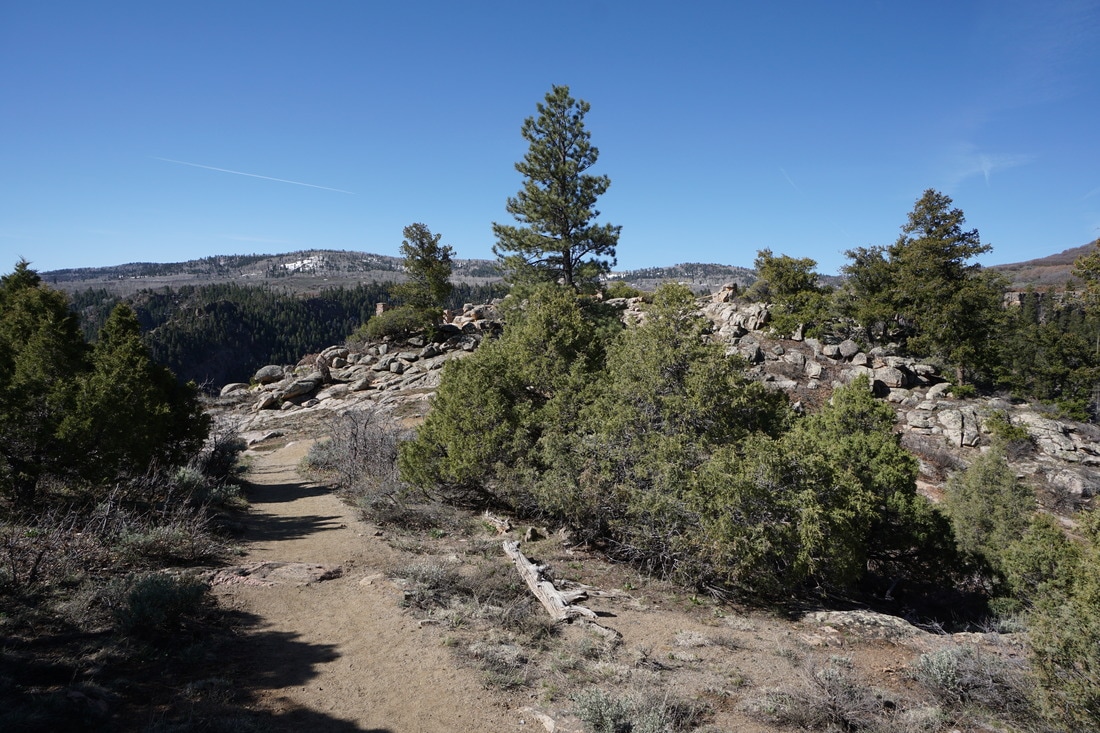
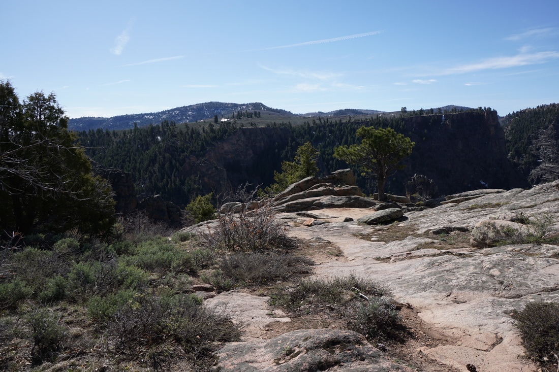
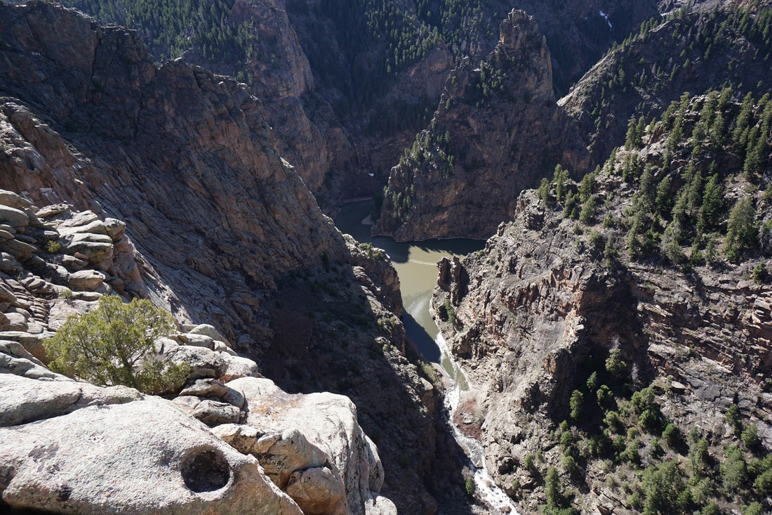
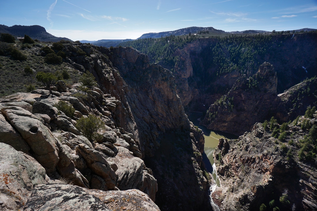
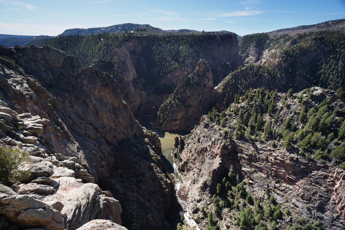
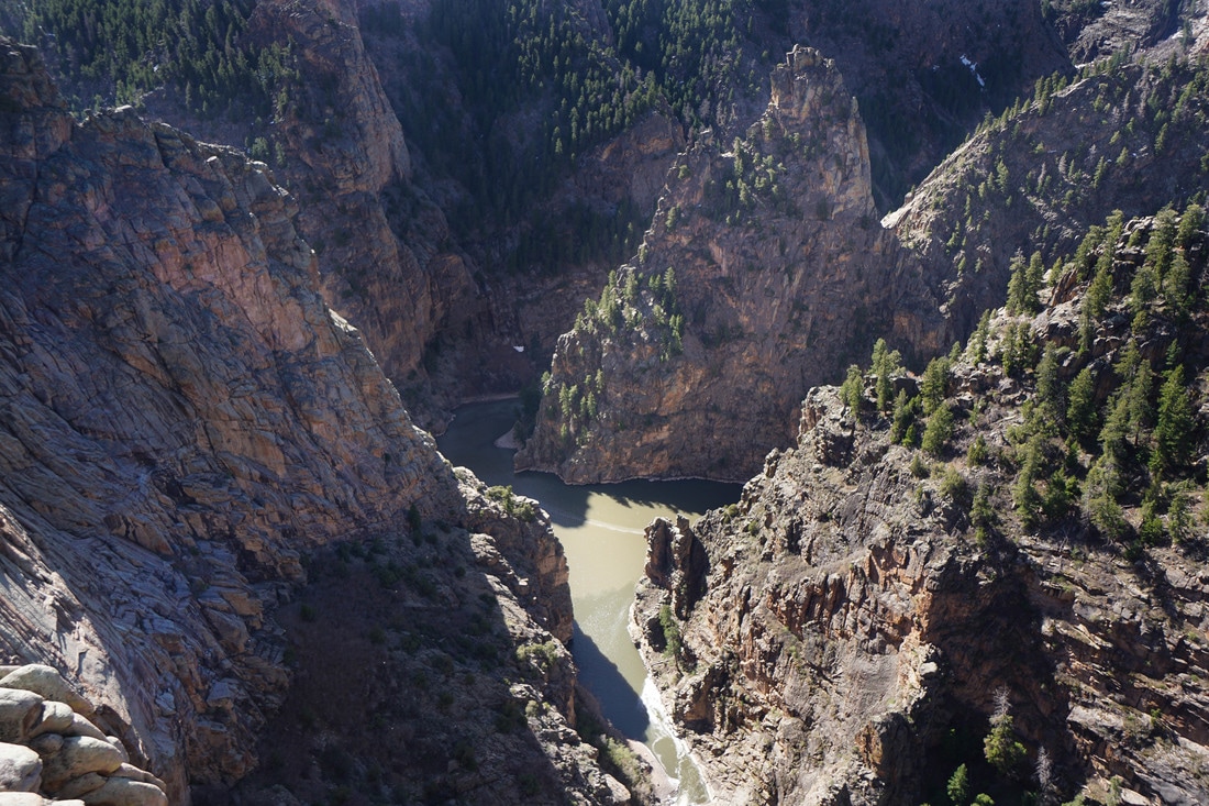
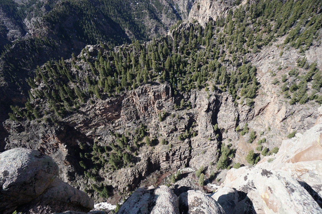
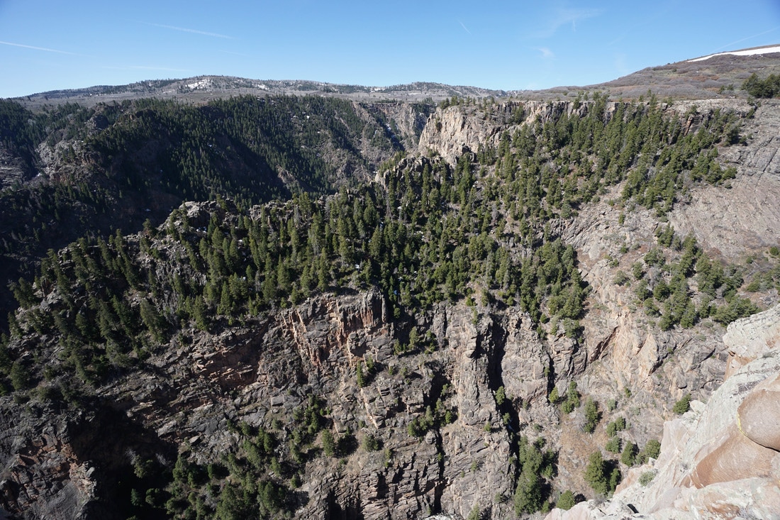
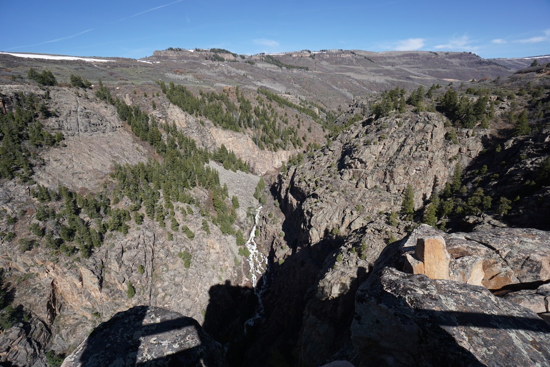
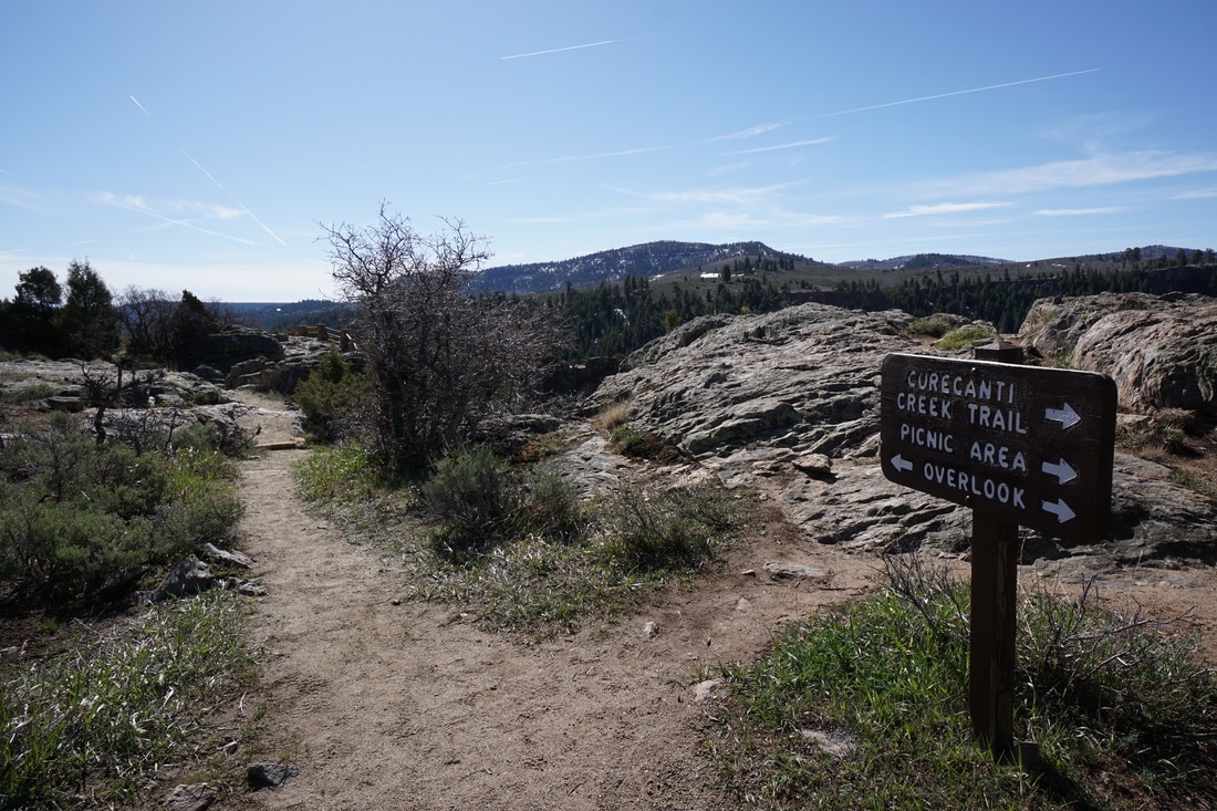
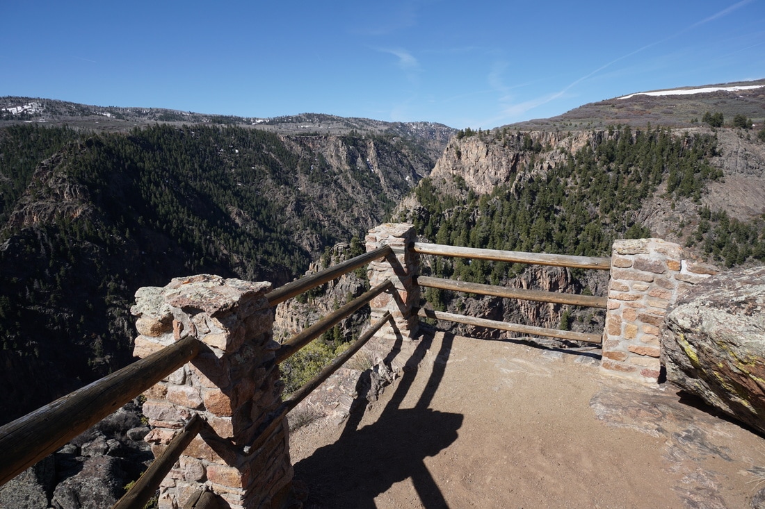
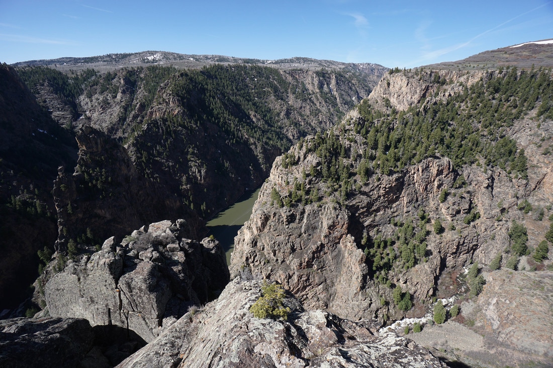
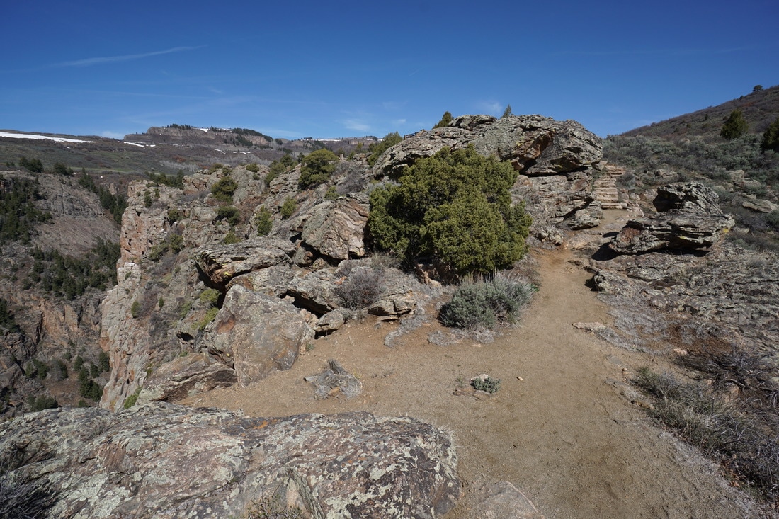
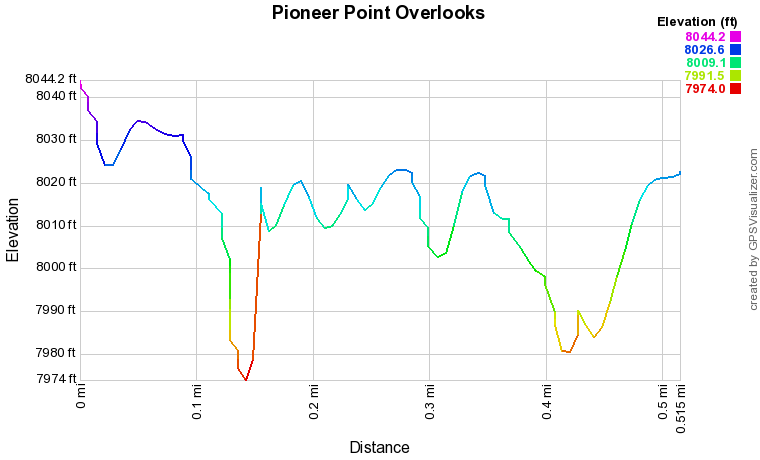
There are two overlooks at Pioneer Point that are positions high above the Gunnison River and the rocky deep canyon that soo becomes Black Canyon. Visiting both overlooks actually entails hiking for half a mile.  Not hard, but not just an overlook off of a parking lot either.

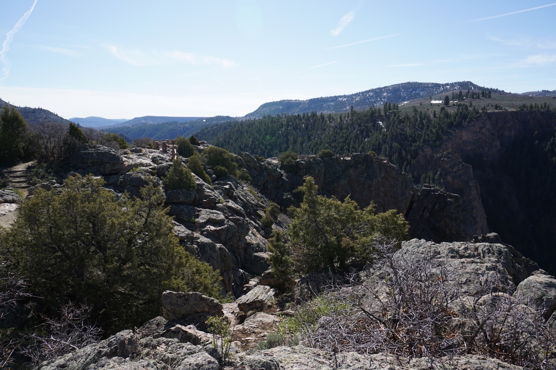
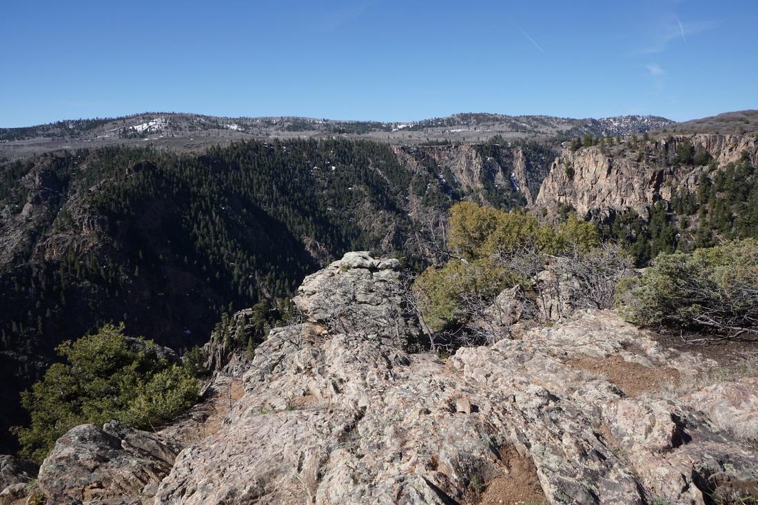
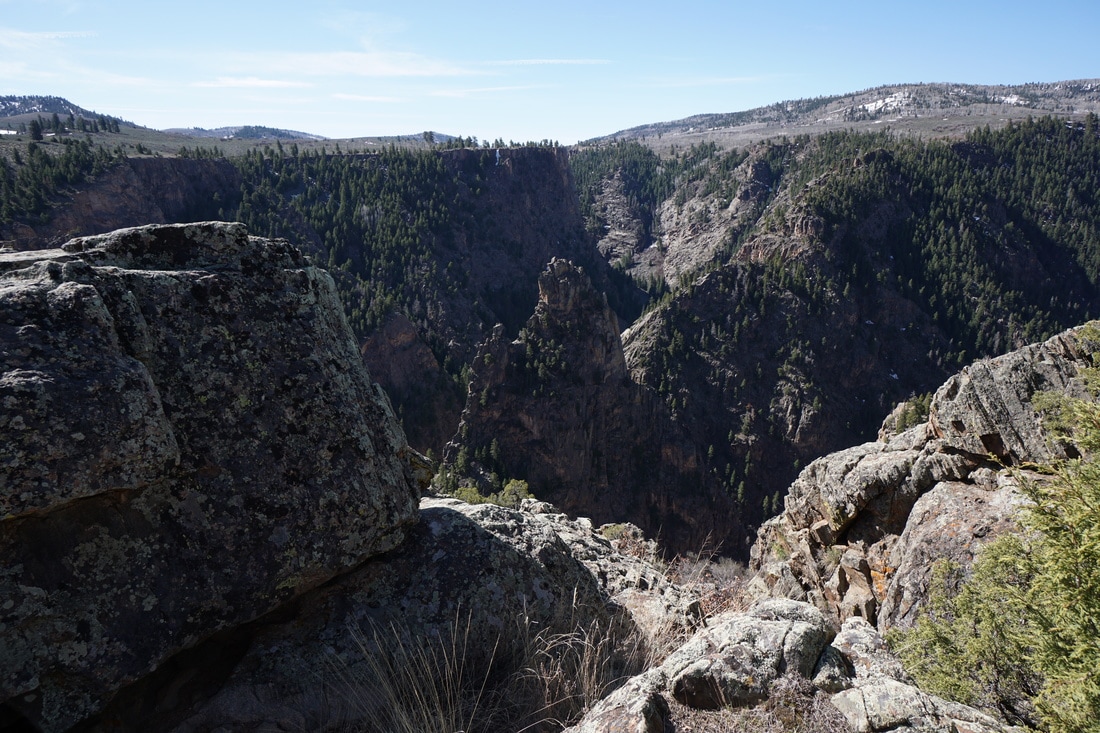
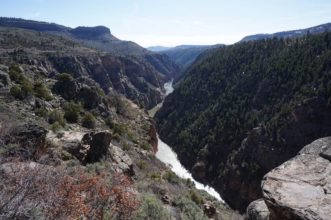
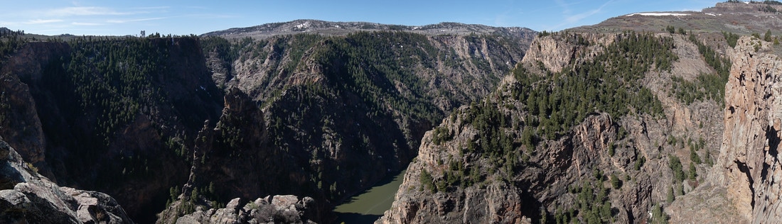
The overlooks view the confluence of Curecanti Creek with the Gunnison River at a point along the river where the rock walls and formations are magnificent.  The western overlook looks directly down on the Curecanti Needle and impressive spire.  The Eastern overlook has a broader view up and down river.  

These overlooks are well worth the stop but if you are looking for a more substantial hike, take the Curecanti Creek Trail down to the canyon floor.  The trail is about 4 miles roundtrip, 900 ft in elevation gain, and high on my to-do list...
Powered by Create your own unique website with customizable templates.