GO HIKE COLORADO
Get in Touch:
  • HOME
  • ABOUT
  • HIKES BY REGION
    • DENVER AREA >
      • Denver Mountain Parks
      • Jefferson County Open Space
      • Lakewood Parks
      • Denver Area Greenways
    • BOULDER AREA
    • DOUGLAS COUNTY
    • FORT COLLINS AREA
    • COLORADO SPRINGS AREA
    • FRONT RANGE
    • TENMILE & MOSQUITO RANGES
    • GORE RANGE
    • SANGRE DE CRISTO MOUNTAINS
    • PARK RANGE
    • SAWATCH RANGE
    • ELK MOUNTAINS
    • SAN JUAN MOUNTAINS
    • THE FLAT TOPS
    • GRAND MESA
    • COLORADO PLATEAU
    • EASTERN PLAINS
  • NATIONAL PARK HIKES
    • BENT'S OLD FORT NATIONAL HISTORIC SITE
    • BLACK CANYON OF THE GUNNISON NATIONAL PARK
    • COLORADO NATIONAL MONUMENT
    • CURECANTI NATIONAL RECREATION AREA
    • DINOSAUR NATIONAL MONUMENT
    • FLORISSANT FOSSIL BEDS NATIONAL MONUMENT
    • MESA VERDE NATIONAL PARK
    • ROCKY MOUNTAIN NATIONAL PARK
    • GREAT SAND DUNES NATIONAL PARK
    • HOVENWEEP NATIONAL MONUMENT
    • SAND CREEK MASSACRE NATIONAL HISTORIC SITE
    • YUCCA HOUSE NATIONAL MONUMENT
  • HIKES BY CATEGORY
    • HIKES TO ALPINE LAKES
    • HIKES TO PEAKS & PASSES
    • HIKES THROUGH CANYONS
    • HIKES WITH FALL COLORS
    • HIKES ALONG THE I-70 CORRIDOR
    • HIKES ON PAVED TRAILS
    • HIKES FOR KIDS
    • HIKES TO WATERFALLS
    • HIKES ALONG RIVERS
    • HIKES WITH ROCK FORMATIONS
    • HIKES WITH WILDFLOWERS
    • WINTER HIKES
  • NEWS
  • WEBCAMS
  • $UPPORT GHC
  • INTERACTIVE MAP

Pine Creek Trail
Curecanti National Recreation Area

Date Hiked: April 23, 2017

Distance: 2.8 mi (RT);
Elevation Gain: 350 ft
Elevation Min/Max: 7,136 to 7,354 ft
Trailhead Lat/Long: 38º 27' 01" N; 107º 20' 42" W​ 
Managing Agency: National Park Service
Fee: None

Curecanti NRA Website (NPS)
Picture

DIRECTIONS: The Pine Creek Trailhead is located off of Hwy 50 just west of the intersection with Route 92 which crosses over the Gunnison River.  From Hwy 50, turn north at the sign for Pine Creek and follow the good, but steep, dirt road all the way down to the trailhead.

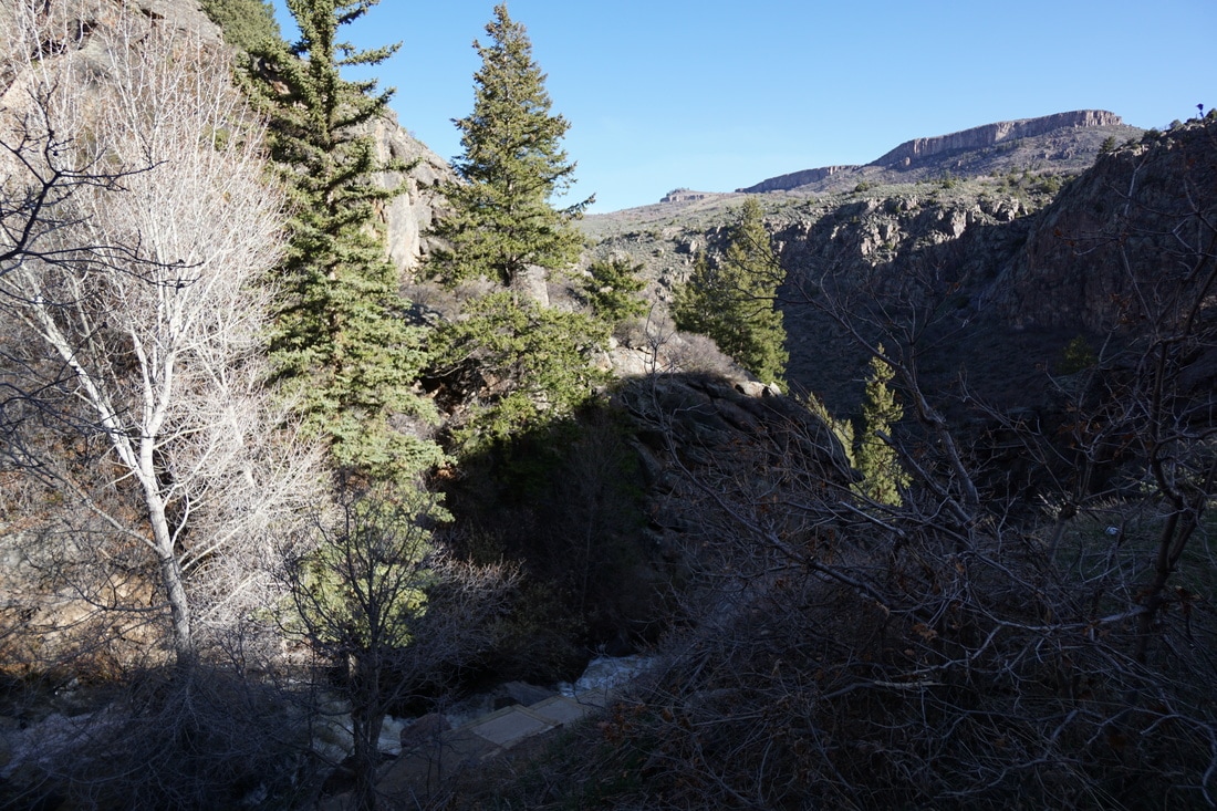
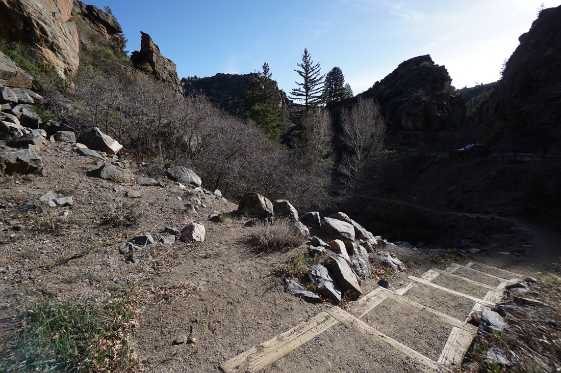
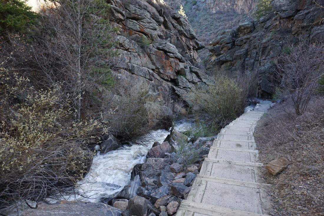
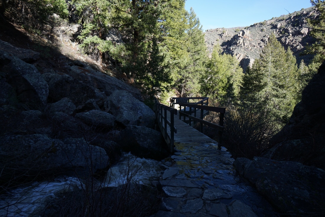
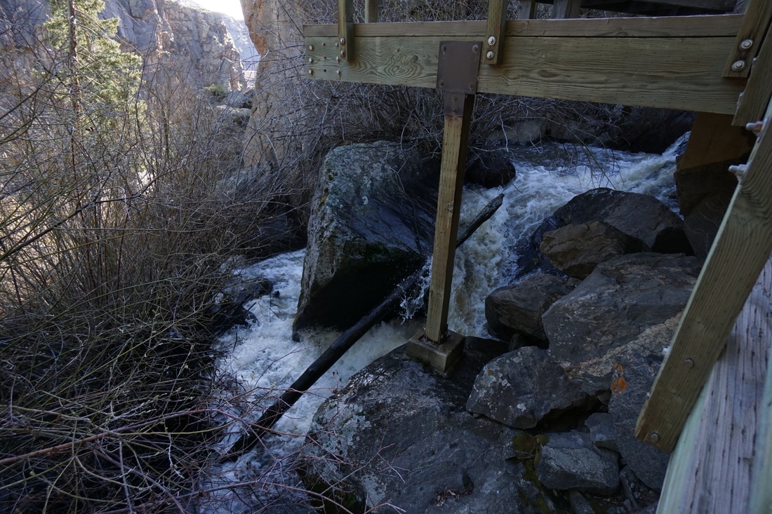
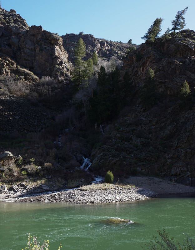
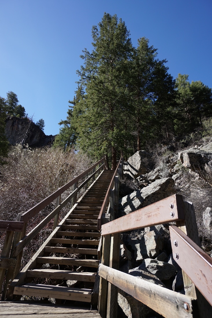
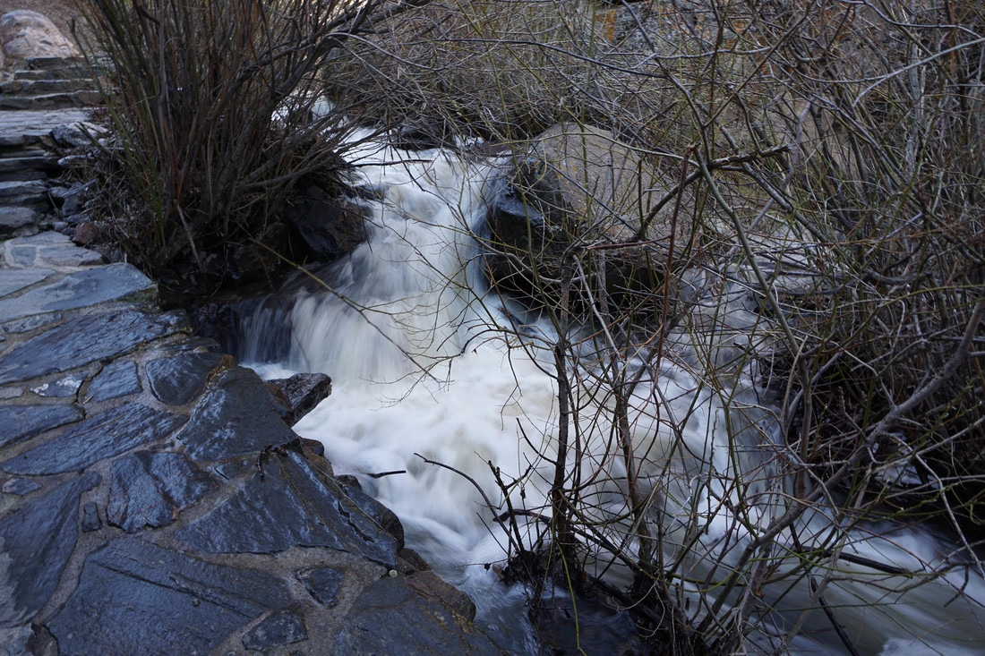
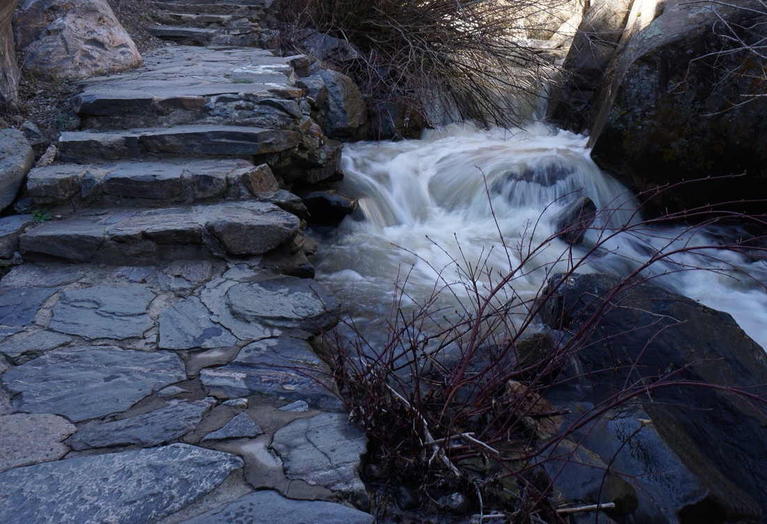
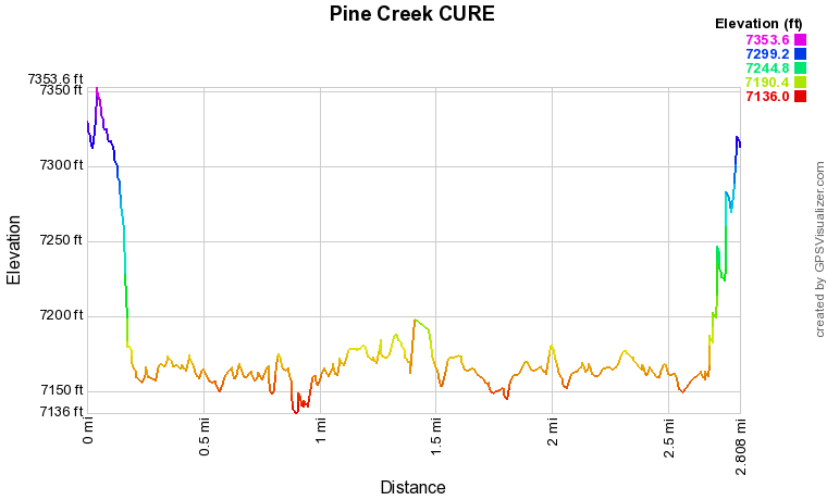
The trail starts by following a wood and stone staircase down 350 feet to the river.  The staircase follows and crosses over Pine Creek, which in the early spring is a rushing torrent and waterfall.  Due to the vegetation you never really get a good view of the waterfall portion of Pine Creek but the thunderous sound will stay with you at the bottom of the canyon.

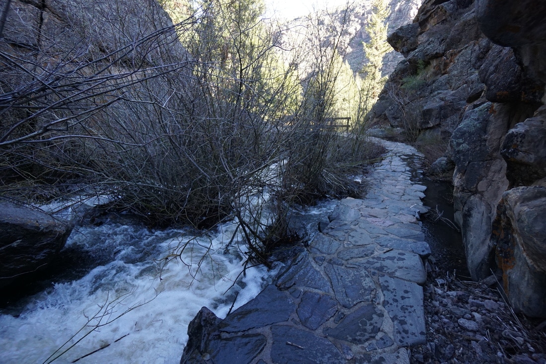
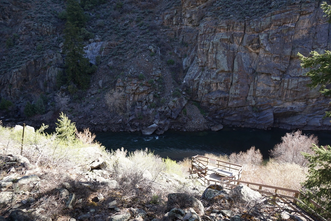
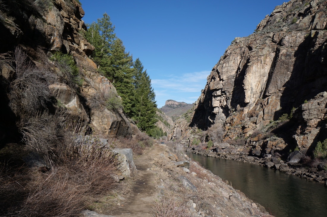
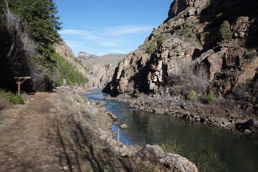
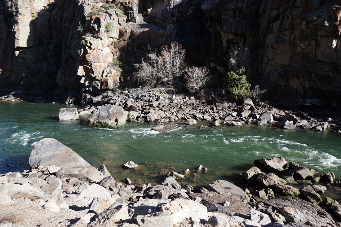
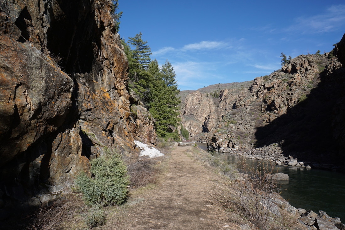
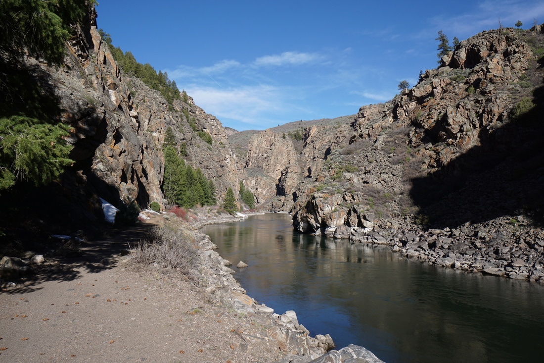
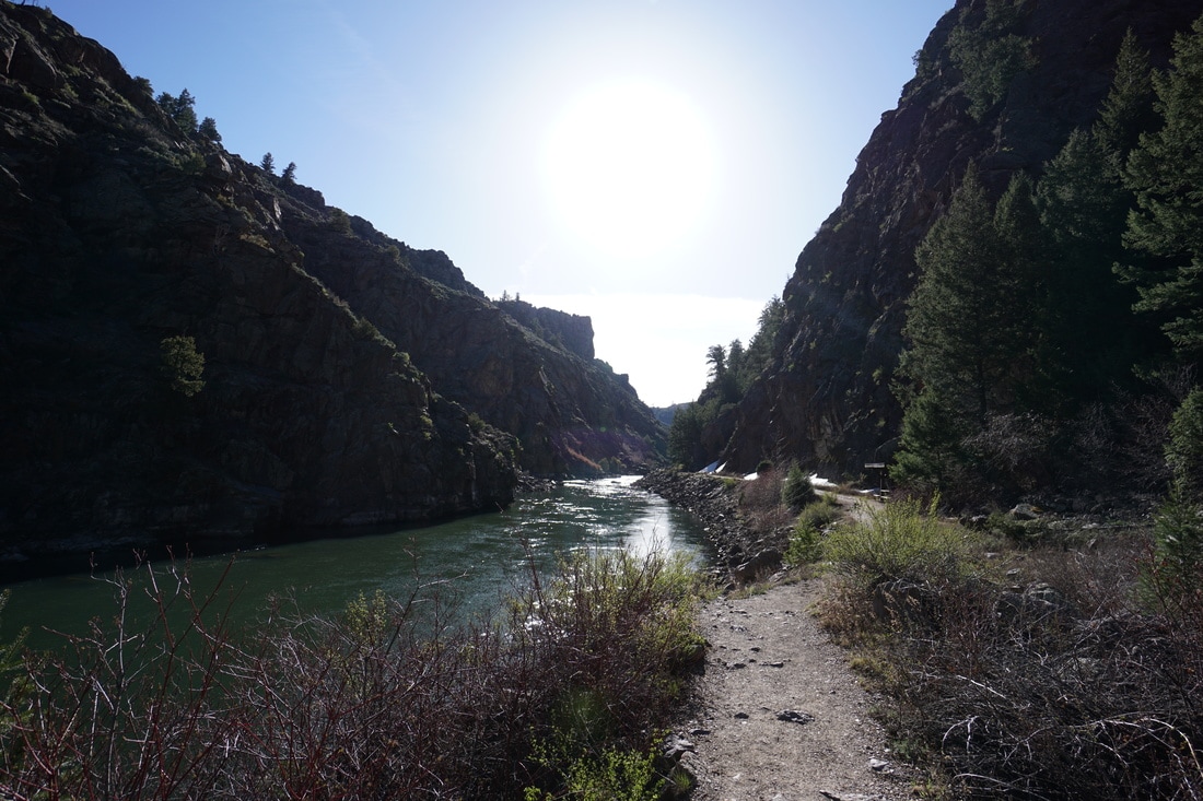
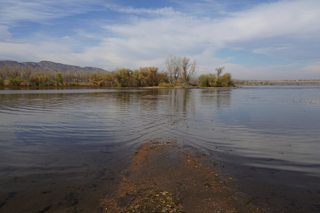
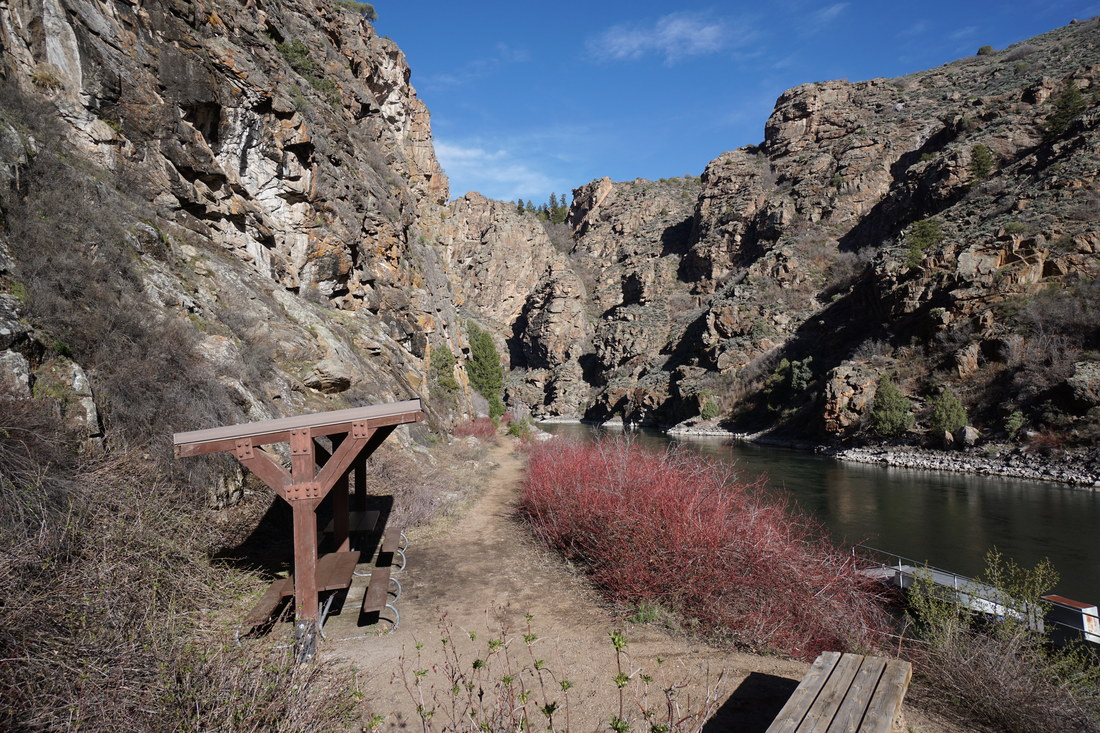
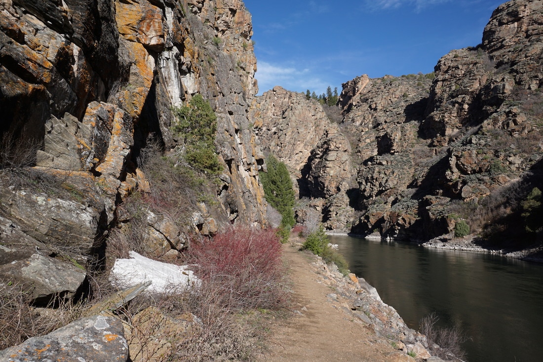
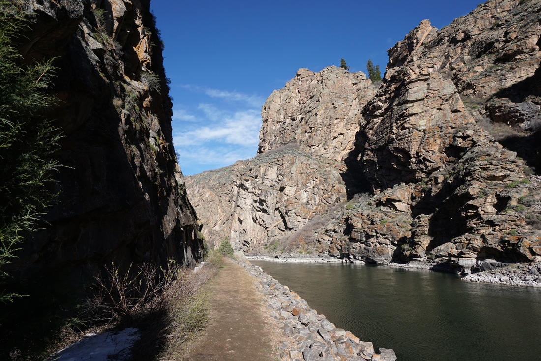
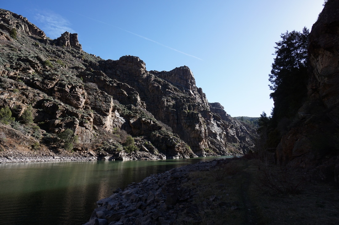
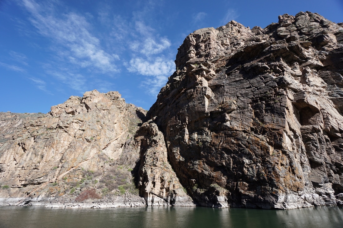
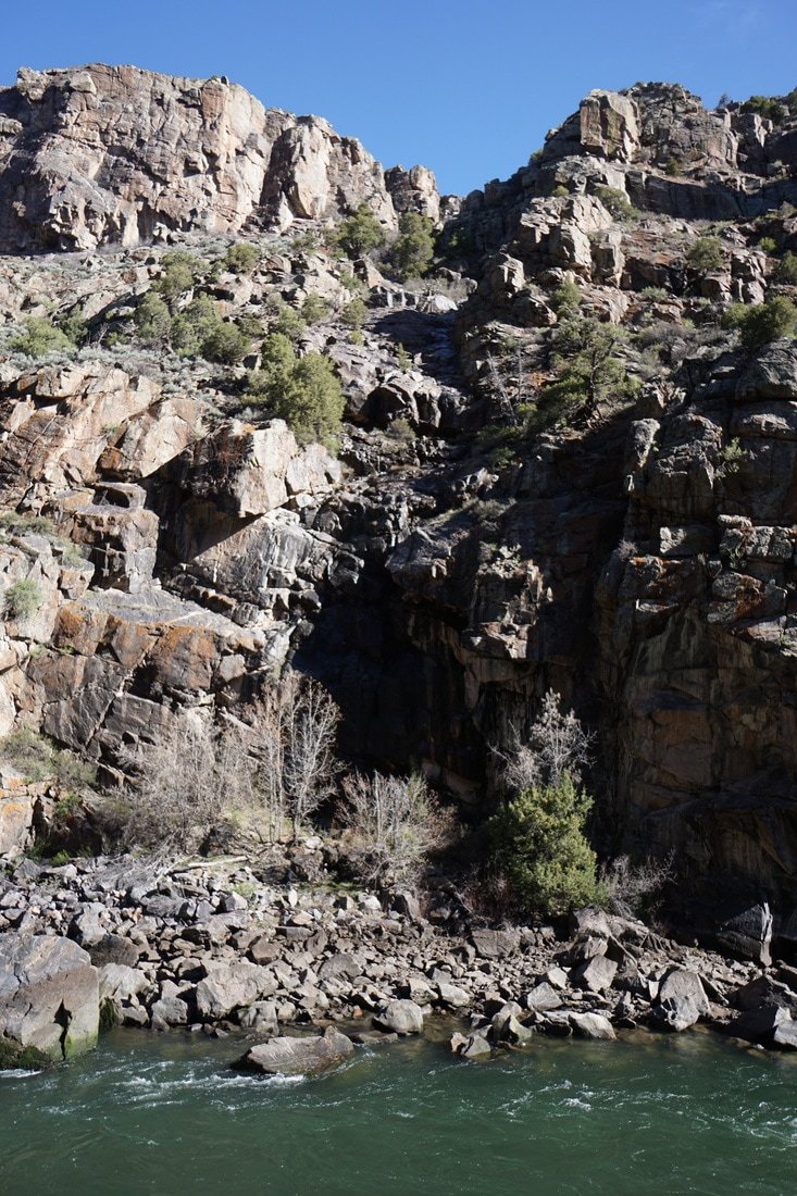
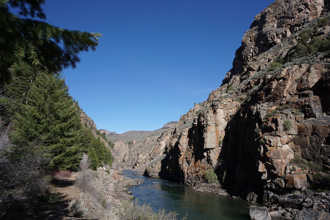
Once you reach the river, the trail turns to the west and you follow the placid waters for about 1 mile to the Morrow Point Boat launch.  If you time this hike to avoid the boat launch foot traffic, then the hike will be very peaceful and quiet.  If you are planning to take the boat ride, then you'll also have to do this hike, win win.

The hike itself is easy and pleasant as the rocky canyon walls tower overhead in every direction.  There are benches along the way and a bathroom at the boat launch.  

The trail continues past the boat launch for another .4 miles and explores more of the canyon before it ends and rocky boulders (which may or may not be covered by water) obstruct your way.  

This is the end of the hike.  If you want to see more of this section of the Gunnison River, best climb aboard the boat.
Powered by Create your own unique website with customizable templates.