GO HIKE COLORADO
Get in Touch:
  • HOME
  • ABOUT
  • HIKES BY REGION
    • DENVER AREA >
      • Denver Mountain Parks
      • Jefferson County Open Space
      • Lakewood Parks
      • Denver Area Greenways
    • BOULDER AREA
    • DOUGLAS COUNTY
    • FORT COLLINS AREA
    • COLORADO SPRINGS AREA
    • FRONT RANGE
    • TENMILE & MOSQUITO RANGES
    • GORE RANGE
    • SANGRE DE CRISTO MOUNTAINS
    • PARK RANGE
    • SAWATCH RANGE
    • ELK MOUNTAINS
    • SAN JUAN MOUNTAINS
    • THE FLAT TOPS
    • GRAND MESA
    • COLORADO PLATEAU
    • EASTERN PLAINS
  • NATIONAL PARK HIKES
    • BENT'S OLD FORT NATIONAL HISTORIC SITE
    • BLACK CANYON OF THE GUNNISON NATIONAL PARK
    • COLORADO NATIONAL MONUMENT
    • CURECANTI NATIONAL RECREATION AREA
    • DINOSAUR NATIONAL MONUMENT
    • FLORISSANT FOSSIL BEDS NATIONAL MONUMENT
    • MESA VERDE NATIONAL PARK
    • ROCKY MOUNTAIN NATIONAL PARK
    • GREAT SAND DUNES NATIONAL PARK
    • HOVENWEEP NATIONAL MONUMENT
    • SAND CREEK MASSACRE NATIONAL HISTORIC SITE
    • YUCCA HOUSE NATIONAL MONUMENT
  • HIKES BY CATEGORY
    • HIKES TO ALPINE LAKES
    • HIKES TO PEAKS & PASSES
    • HIKES THROUGH CANYONS
    • HIKES WITH FALL COLORS
    • HIKES ALONG THE I-70 CORRIDOR
    • HIKES ON PAVED TRAILS
    • HIKES FOR KIDS
    • HIKES TO WATERFALLS
    • HIKES ALONG RIVERS
    • HIKES WITH ROCK FORMATIONS
    • HIKES WITH WILDFLOWERS
    • WINTER HIKES
  • NEWS
  • WEBCAMS
  • $UPPORT GHC
  • INTERACTIVE MAP

Independence Peak Trail
Pence Park

Date Hiked: June 6, 2012

Distance: 1.88 mi (Round Trip)

Elevation Gain: 800 ft
Elevation Min/Max: 7,481 to 8,255ft
Managing Agency: Denver Mountain Parks
Fee: None

Pence Park Official Map
Picture

Directions:  Pence Park is a Denver Mountain Park up Bear Creek Canyon near Kittridge.  From Morrison take Bear Creek Road (74) west.  Pass Corwina Park, and O'Fallon Park and make a left (south) on Meyers Gulch Road.  Head up the hill and the trailhead and parking area will be on the right. 


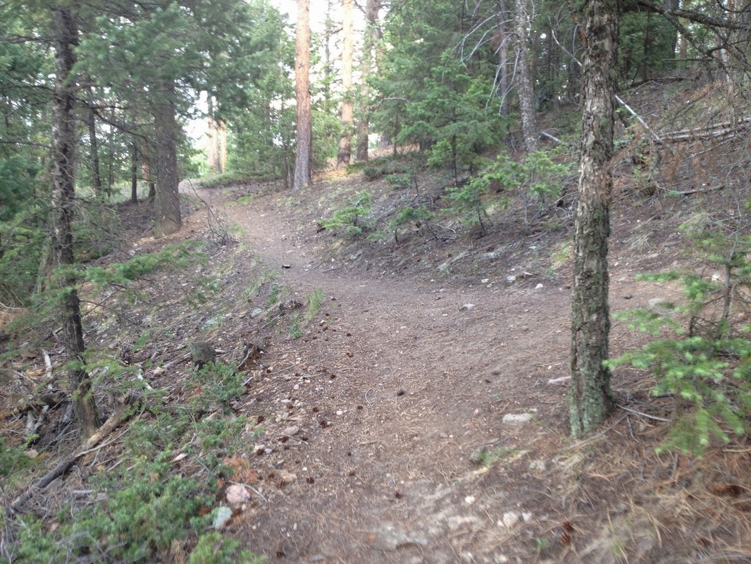
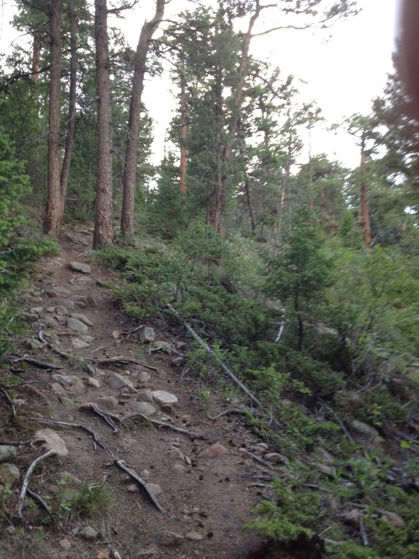
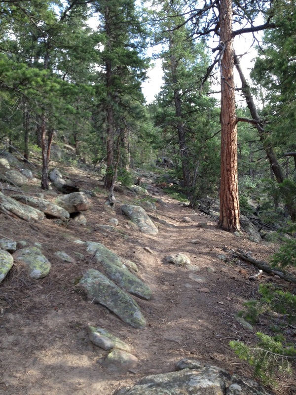
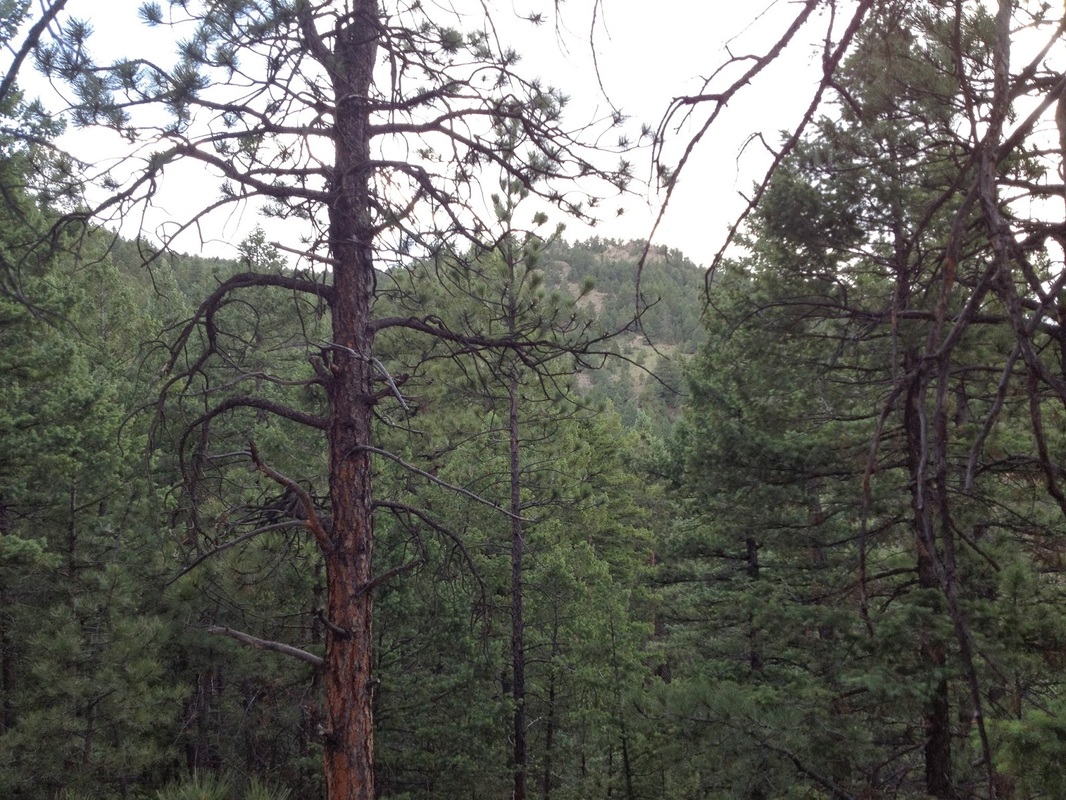
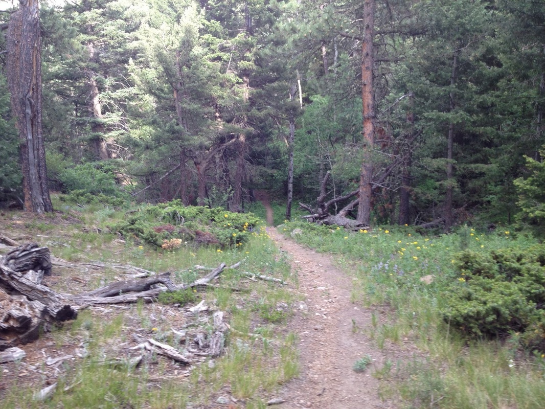
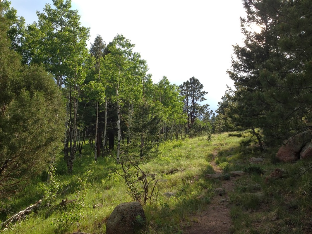
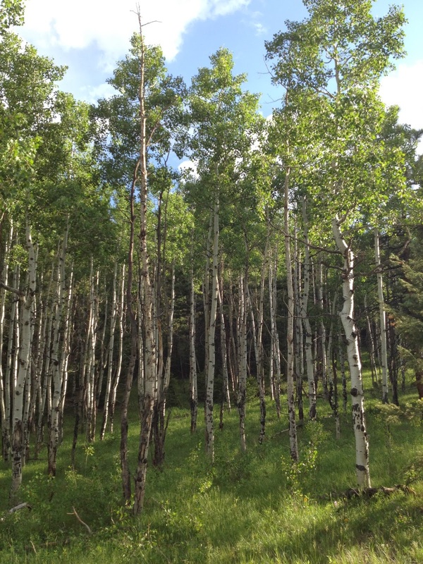
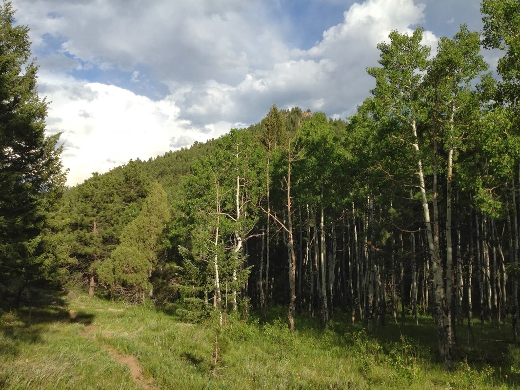
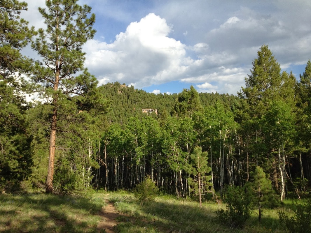
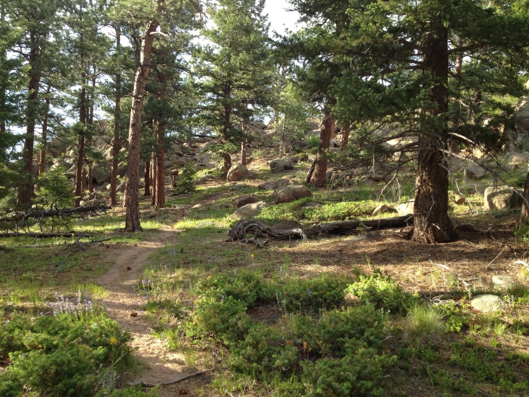
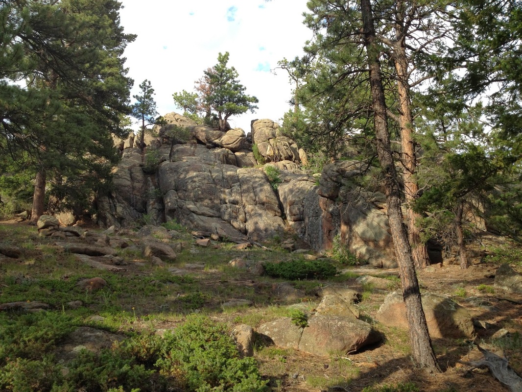
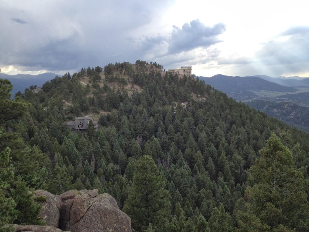
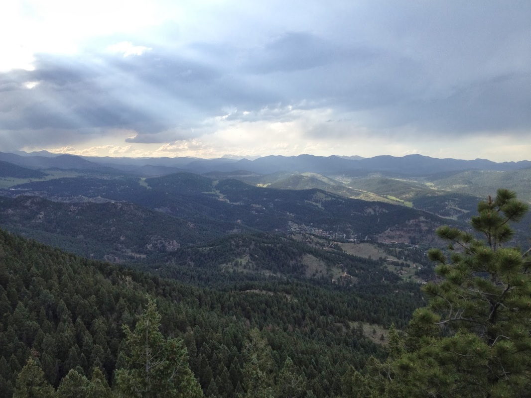
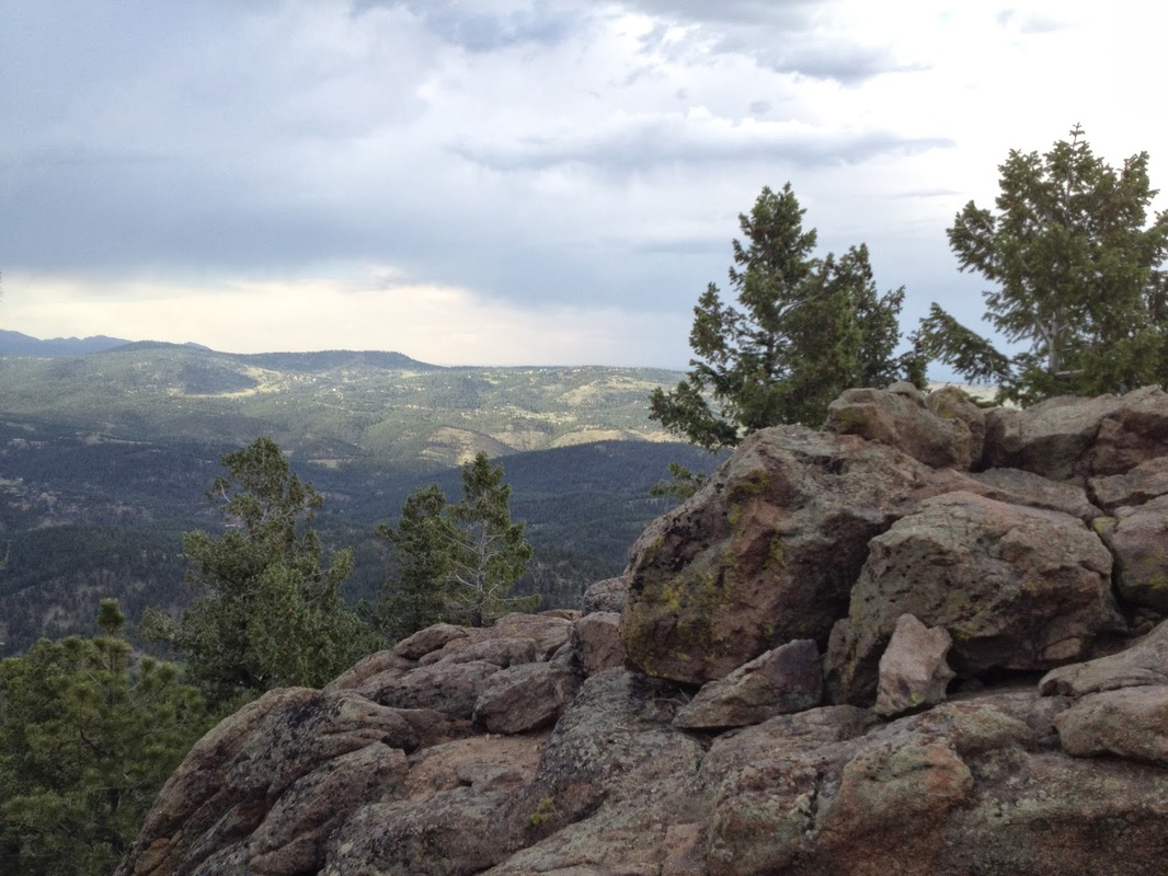
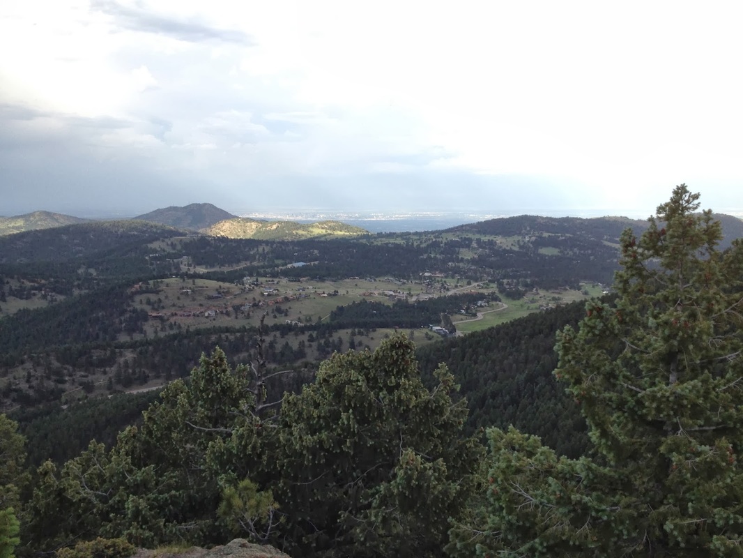
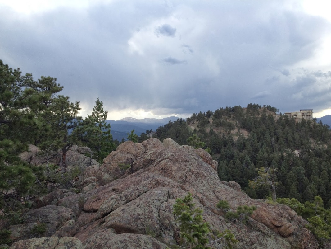
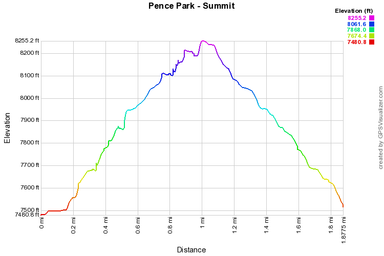
The trail up to Independence Peak starts from the parking area and switchbacks up the hill facing the parking lot.  The first part of the trail is clear but keep an eye out for a switchback to the left, but not the first left.  The first left takes you up to a small lookout and back to the parking lot.  Stay on the main trail and make the second left, this one a bit tricky to spot.  From here the trail climbs through dense forest crests the hill, and levels out. 

About .5 mile in to the trail you'll come across an Aspen grove and a view of the rocky summit ahead.  The trail leads you to a rocky outcropping which you need to scramble up to reach the summit.  Once on top you a rewarded with a 360 degree view and a decent view of Mt. Evans.  Head back the same way you came.  You also have the option of adding the short loop I mentioned on your way back.


© Go Hike Colorado, 2020.  All Rights Reserved. 
Use of photographs without prior authorization is
​strictly prohibited.


Contact us at:
[email protected]
Legal Disclaimer - Information provided on this site is based upon our own observations, always double check information with the appropriate land management agency before heading into the backcountry.  Backcountry travel is inherently dangerous, please take all proper precautions.  Go Hike Colorado is not responsible for injury or incident.