|
Directions: From I-70, exit at the bottom of Floyd Hill onto U.S. 40 to meet up with U.S. 6. Follow U.S. 6 east into Clear Creek Canyon for 2 miles to the Oxbow parking area. Note, you can also reach the parking area coming from the east by heading west through Clear Creek Canyon Park on U.S. 6 from Golden, however, the turn into the parking area is extremely difficult and you are likely to miss the turn coming from the east.
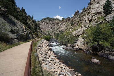
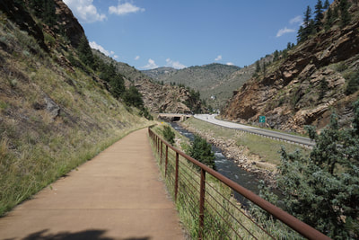
The Peaks to Plains Trail is an ambitious work in progress. The idea is to create a paved multiple use trail from the plains in Golden to Loveland Pass and eventually all the way to Glenwood Springs. The trail is still being constructed but some segments are concluded and can be hiked.
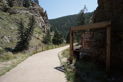
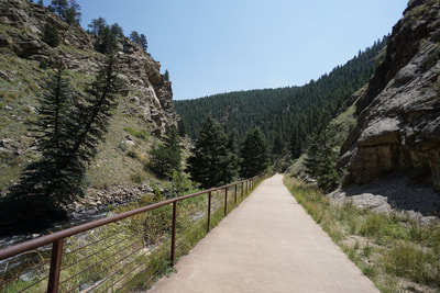
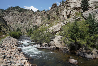
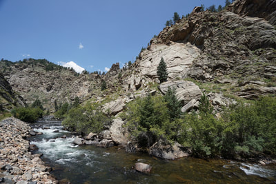
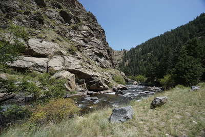
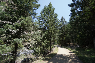
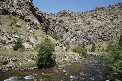
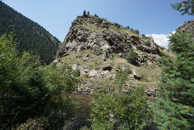
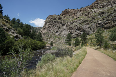
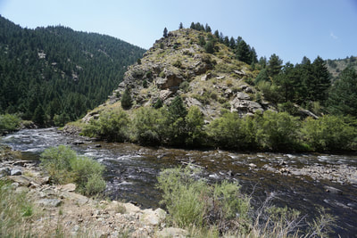
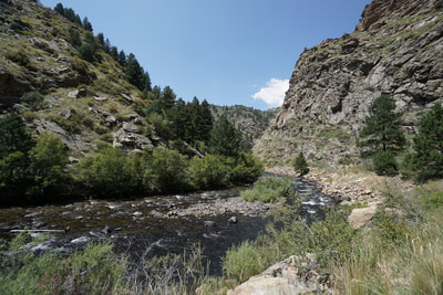
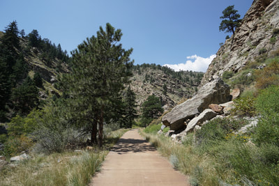
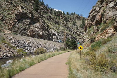
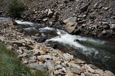
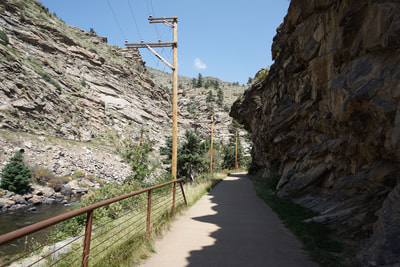
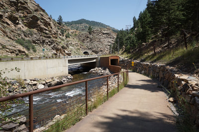
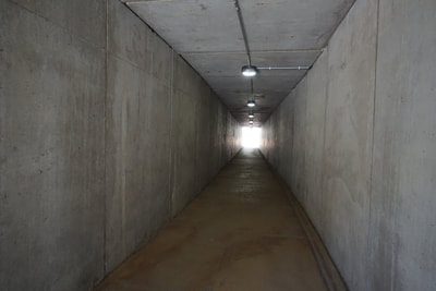
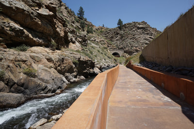
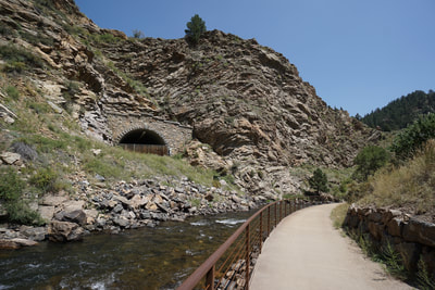
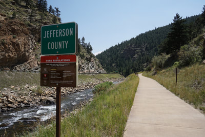
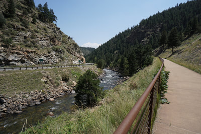
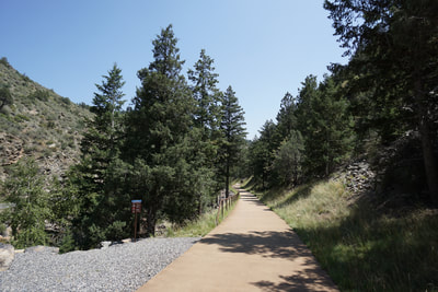
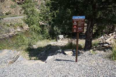
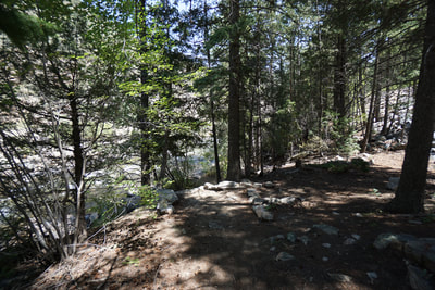
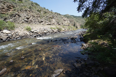
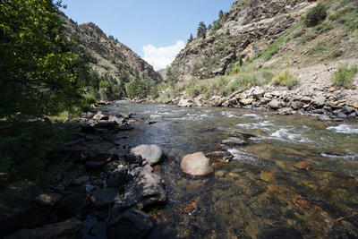
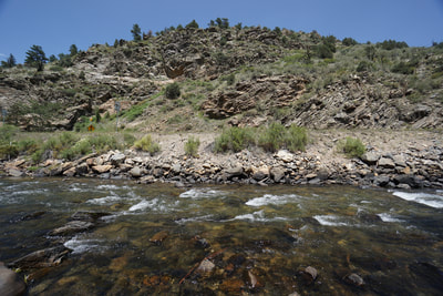
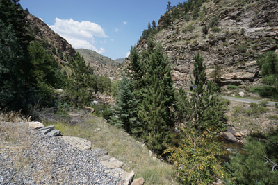
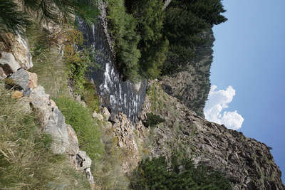
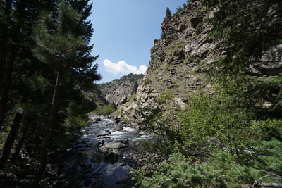
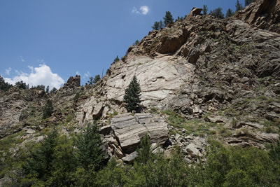
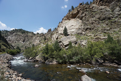
The Oxbow is a small portion of Clear Creek that loops around prominent cliffs and rock formations at the western end of Clear Creek Canyon. Prior to the trail being constructed, a dirt trail followed clear creek and this dirt trail has now been replaced with a paved trail. Although I generally prefer hiking on natural surfaces, this trail should be useful in the winter and shoulder seasons when the foothills get muddy and icy. This particular segment is extremely scenic and I'm glad that access is being preserved. For this segment, start at the Oxbow parking lot along U.S. 6 in Clear Creek County. Hike east as the trail follows the creek and provides some nice shade in pleasant pine forest. Across the creek is a popular rock climb area with towering cliffs. As you round the oxbow the canyon views get even better as you leave the oxbow and hike parallel to U.S. 6. If you want to continue hiking, follow the trail under the highway through a tunnel (watch for flooding) and along 6 as you cross into Jefferson County. When you cross over into Jeffco, you'll enter Clear Creek Canyon Park managed by Jefferson County Open Space. The trail climbs slightly into more pine forest and soon you'll reach a river access point. Follow the short dirt trail down to Clear Creek for a shady rest stop. You can continue on into Clear Creek Canyon park or turn around at the river access point. Trail segments have been completed for other sections of Clear Creek Canyon as well as along i-70 near Genesee Park. I look forward to exploring this trail further especially those segments with views of the Continental Divide...more to come... |
- HOME
- ABOUT
-
HIKES BY REGION
-
NATIONAL PARK HIKES
- BENT'S OLD FORT NATIONAL HISTORIC SITE
- BLACK CANYON OF THE GUNNISON NATIONAL PARK
- COLORADO NATIONAL MONUMENT
- CURECANTI NATIONAL RECREATION AREA
- DINOSAUR NATIONAL MONUMENT
- FLORISSANT FOSSIL BEDS NATIONAL MONUMENT
- MESA VERDE NATIONAL PARK
- ROCKY MOUNTAIN NATIONAL PARK
- GREAT SAND DUNES NATIONAL PARK
- HOVENWEEP NATIONAL MONUMENT
- SAND CREEK MASSACRE NATIONAL HISTORIC SITE
- YUCCA HOUSE NATIONAL MONUMENT
- HIKES BY CATEGORY
- NEWS
- WEBCAMS
- $UPPORT GHC
- INTERACTIVE MAP
Peaks-to-Plains Trail
Oxbow to Clear Creek Canyon Park
Date Hiked: August 10, 2018
Distance: 2.8 mi (RT)
Elevation Gain: 200 ft
Elevation Min/Max: 6,847 to 6,981 ft
Trailhead Lat/Long: 39º 44' 35" N; 105º 24' 23" W
Managing Agency: Clear Creek County Open Space
Fee: None

