|
|
|
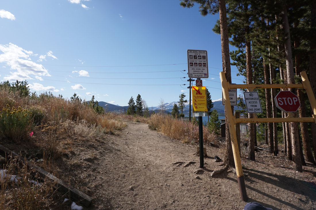
DIRECTIONS: From I-70 take exit 205 and head south on Hwy 6 into the town of Dillon. Turn left onto Evergreen Road and a quick right onto Route 51 which parallels Hwy 6. Follow 51 to the Tenderfoot Mountain Trailhead and the small parking area.
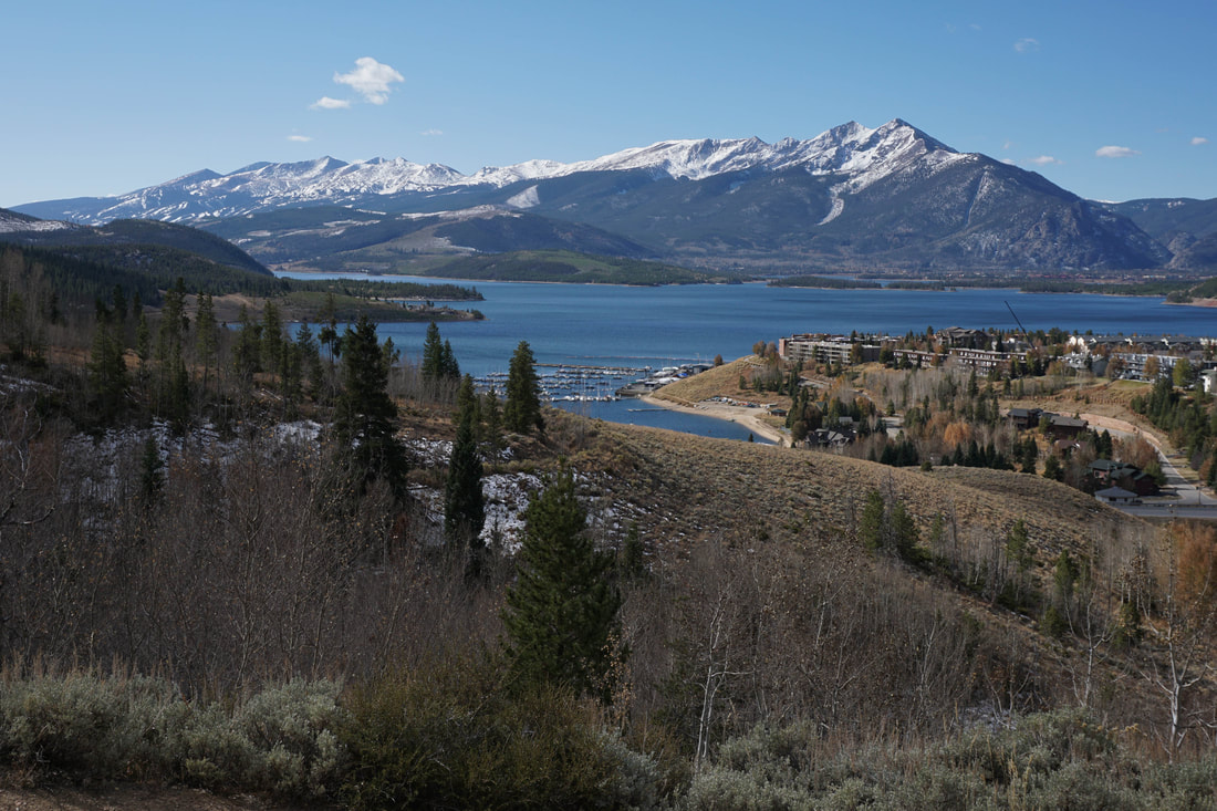
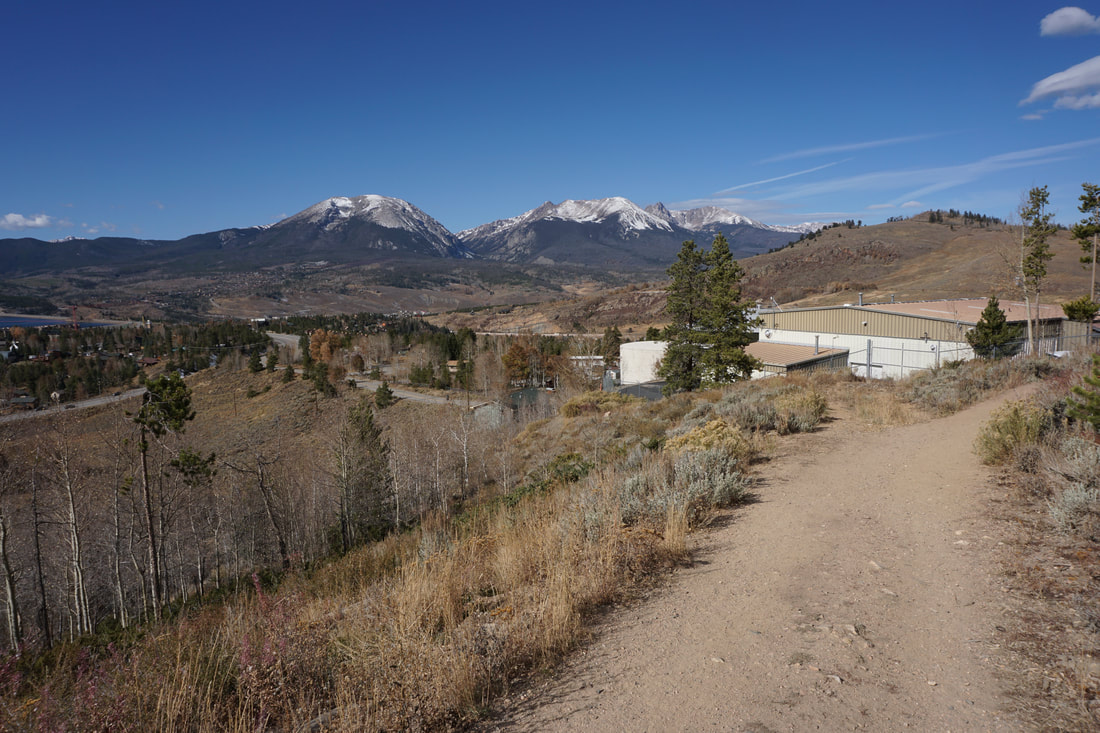
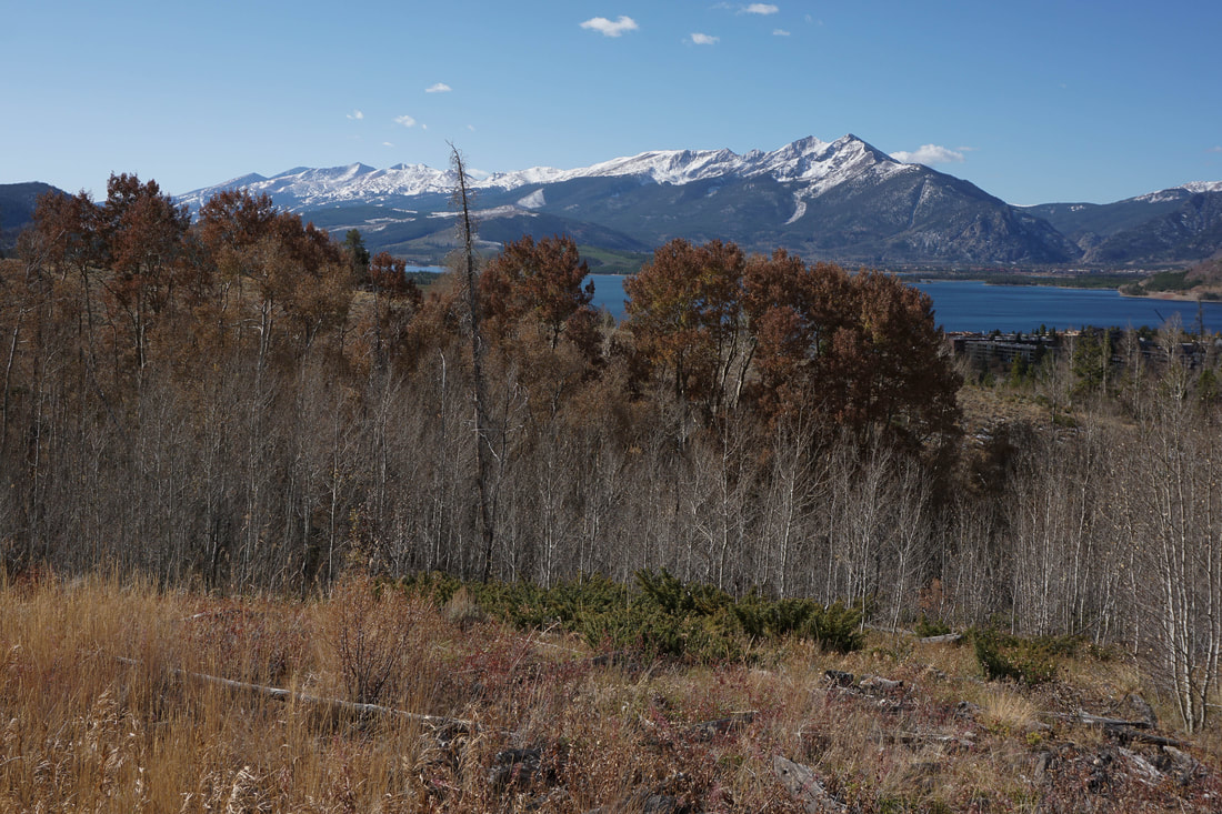
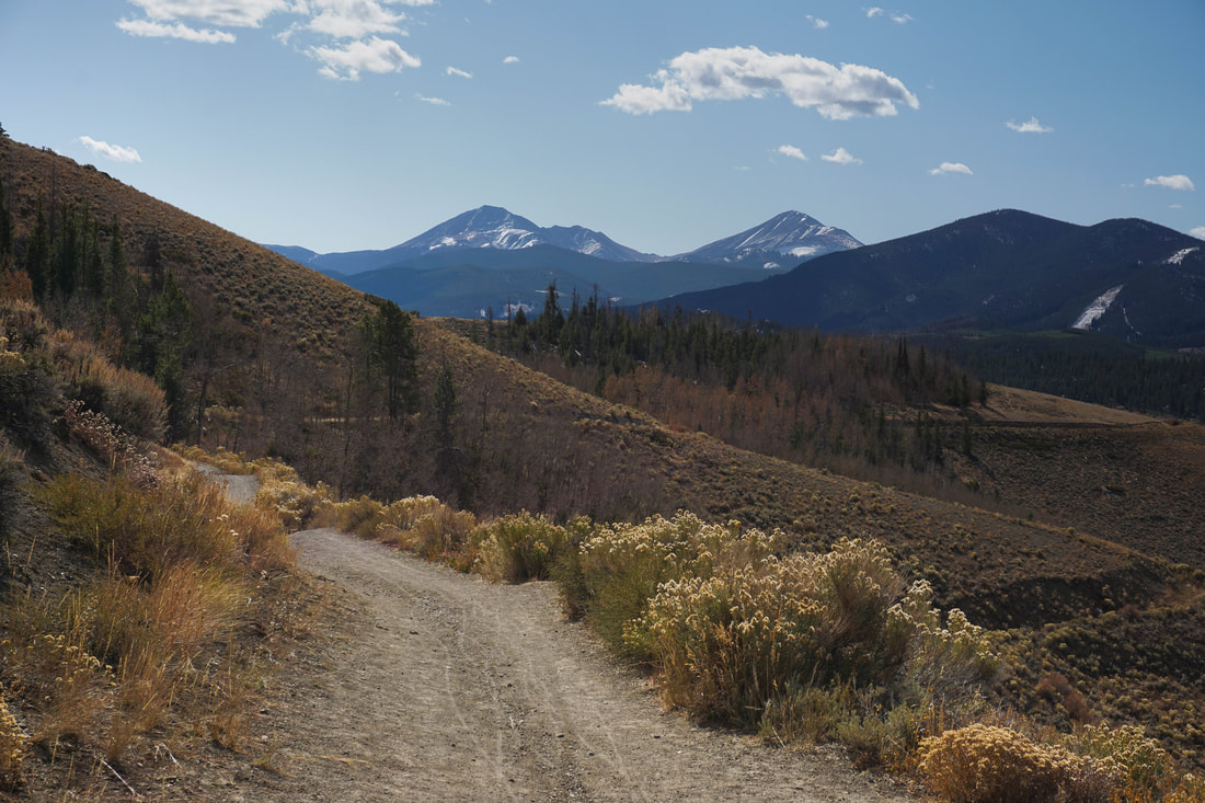
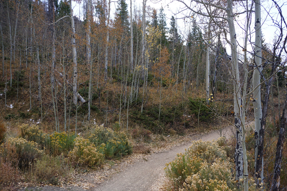
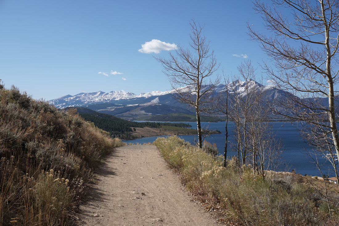
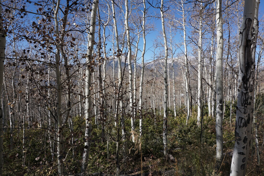
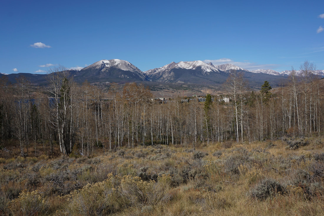
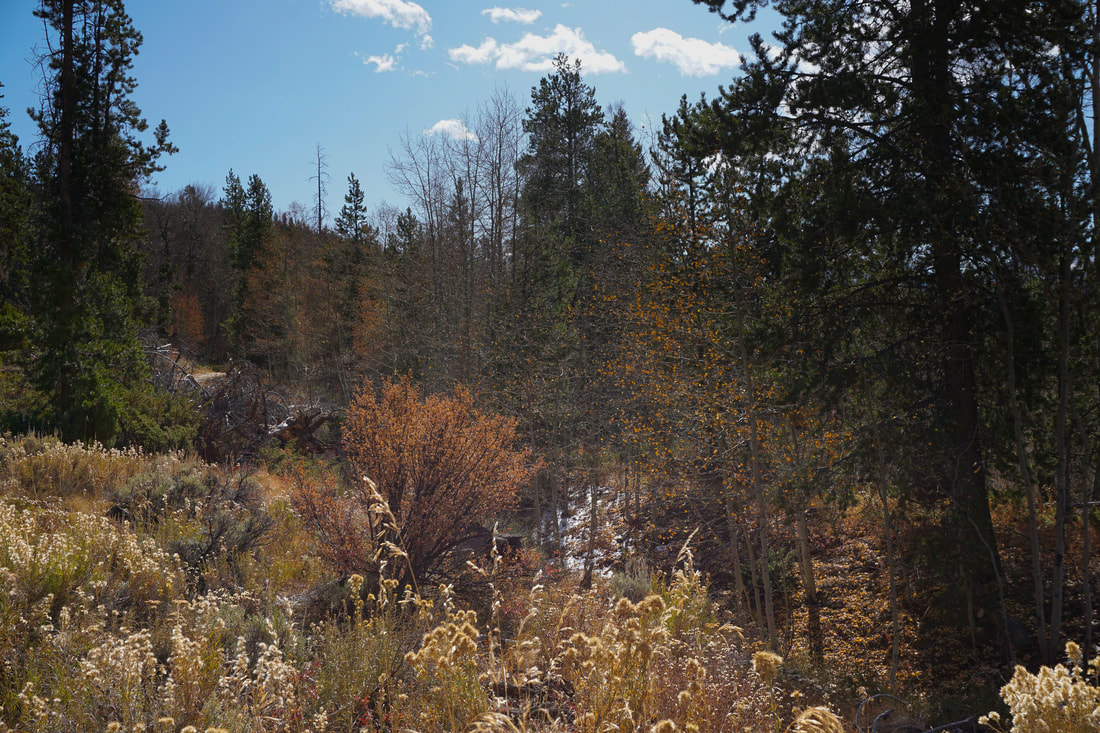
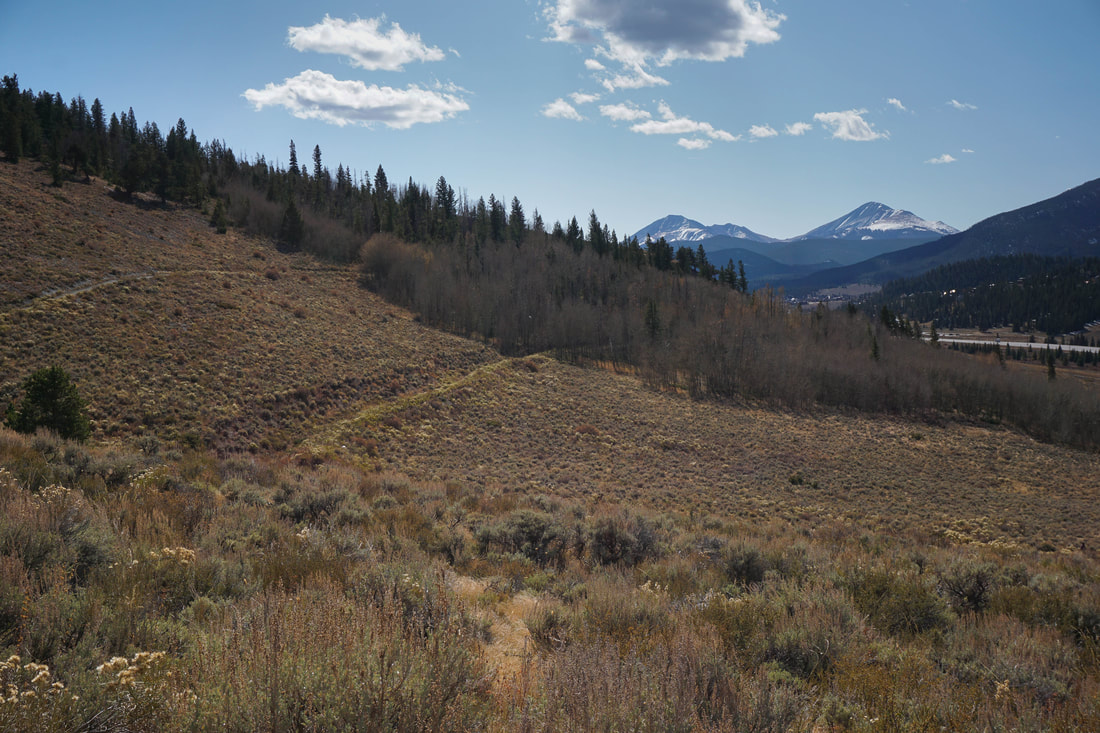
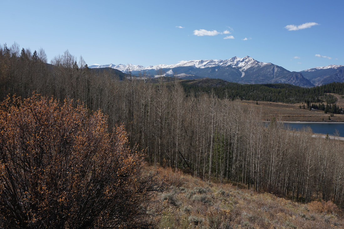
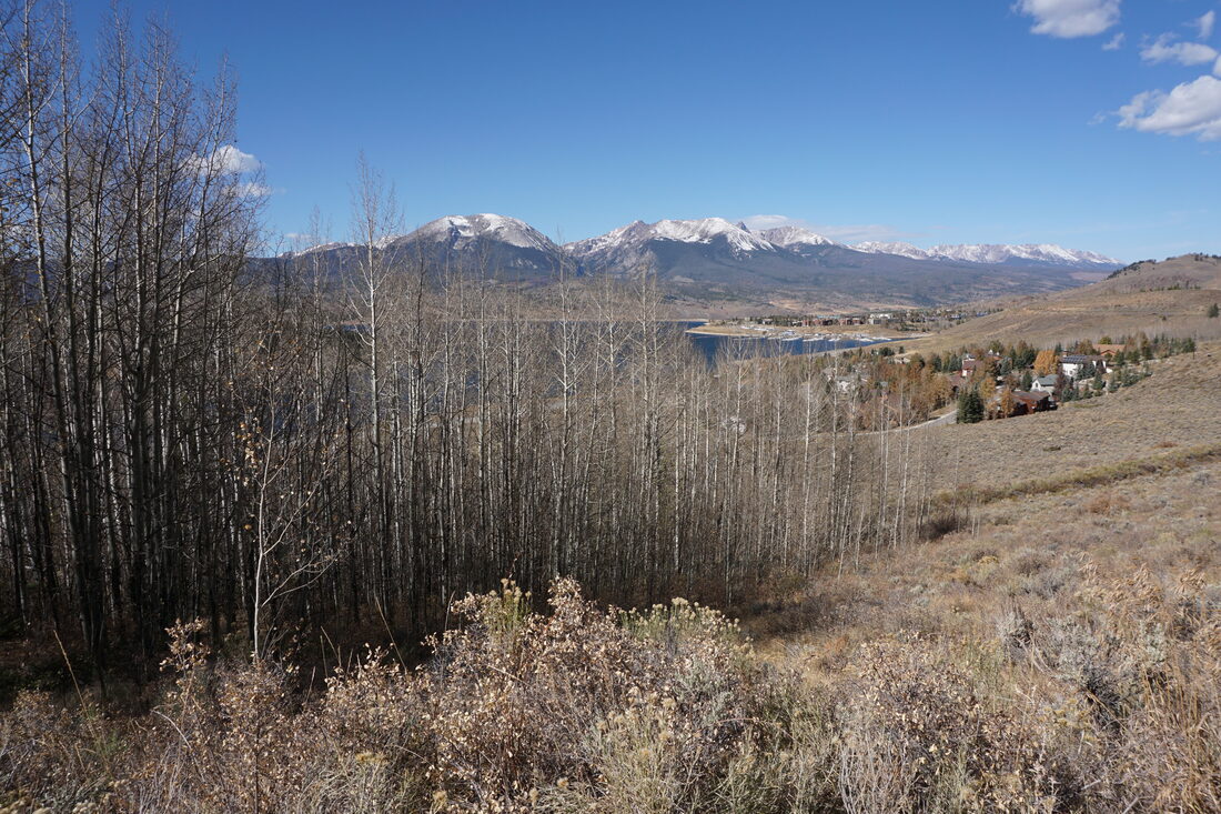
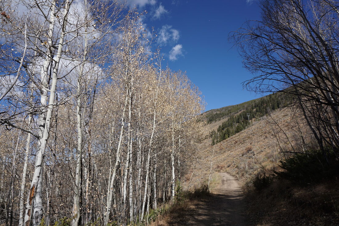
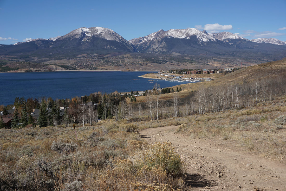
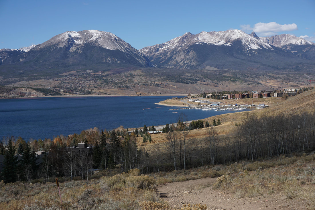
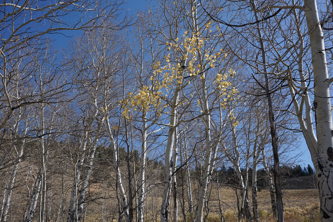
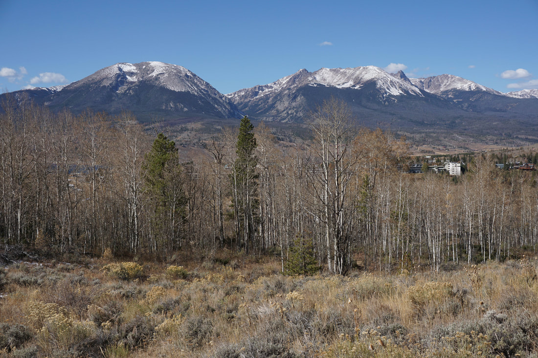
In English, Oro Grande means big gold. This seems to be an apropos translation for the Oro Grande Trail on the western slopes of Tenderfoot Mountain near Lake Dillon. While probably named after historic gold mining in the area, the trail has big views and in the fall passes through multiple golden aspen groves. This is one of those big view, low impact trails and a golden opportunity for easy hiking in the front range. Big...gold...
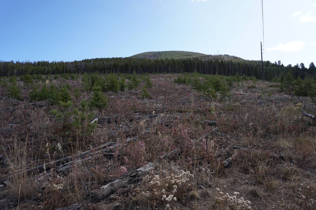
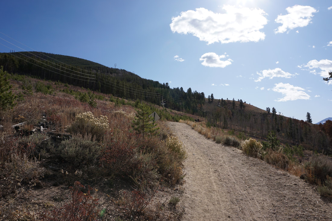
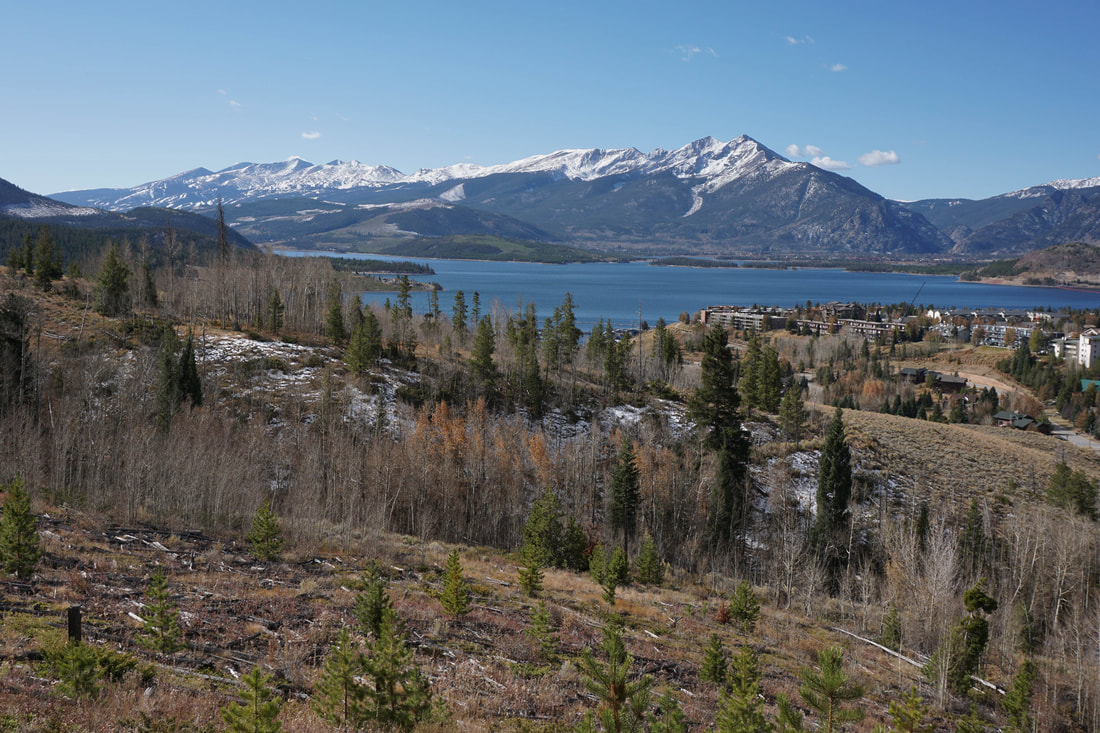
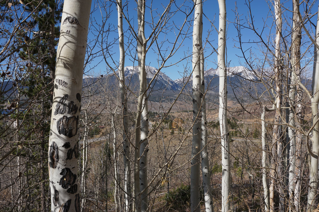
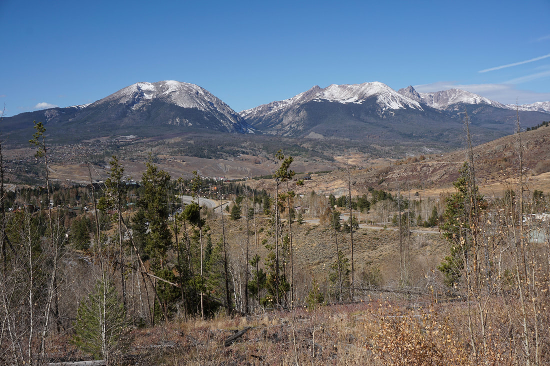
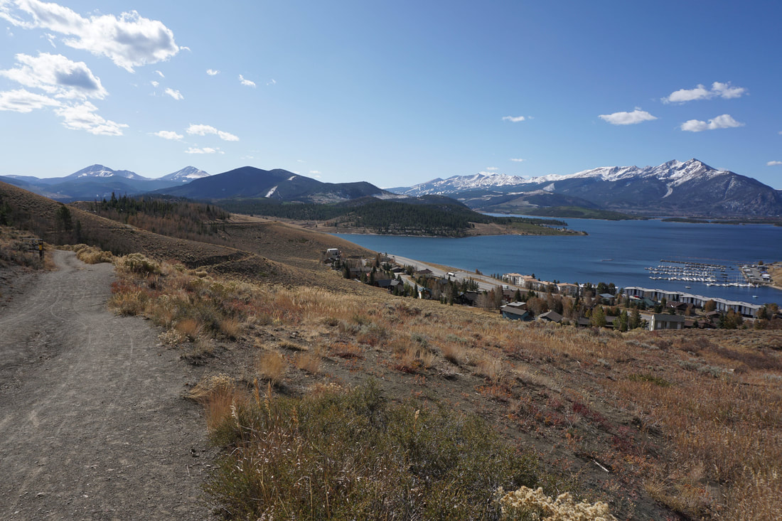
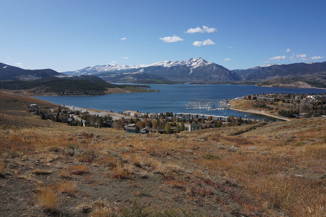
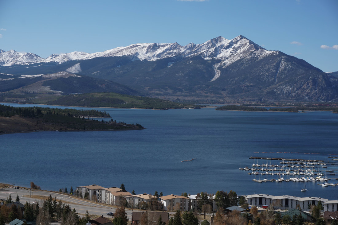
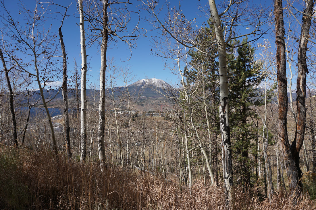
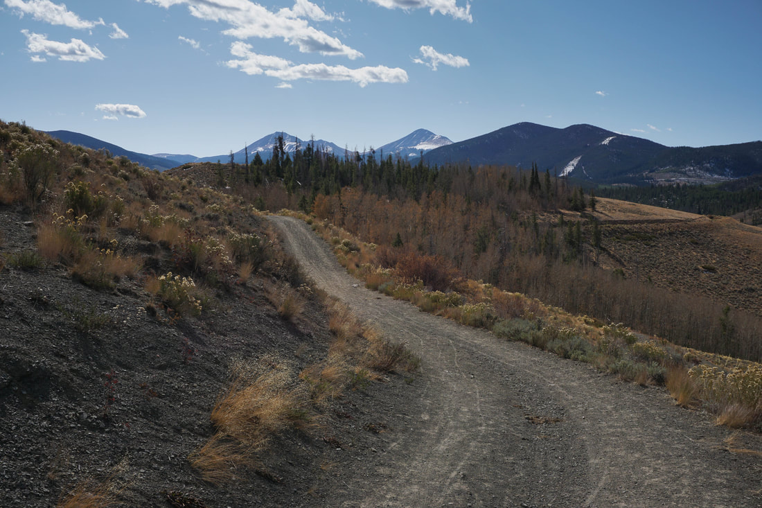
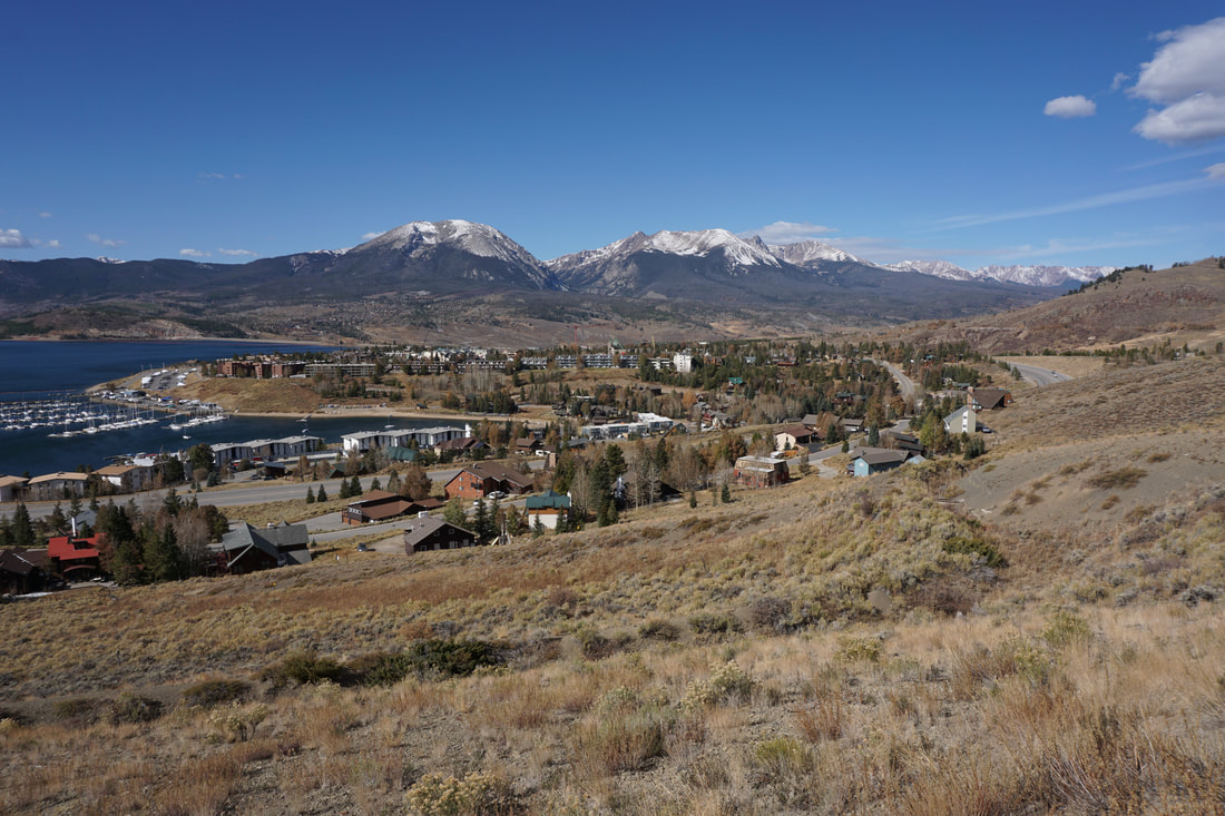
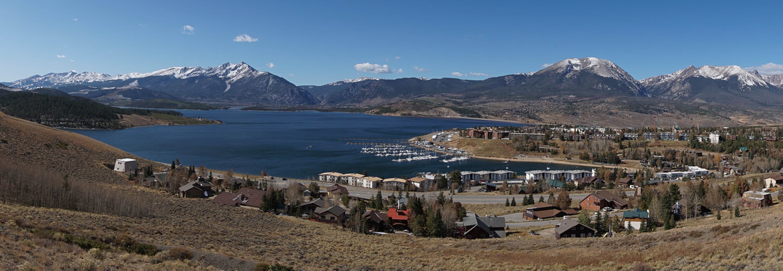
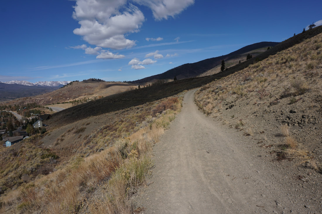
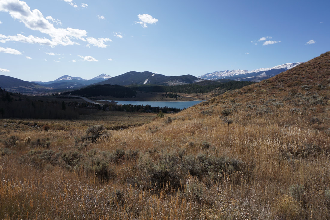
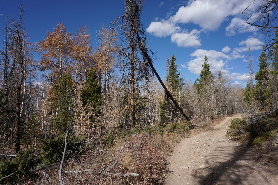
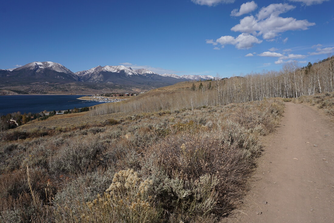
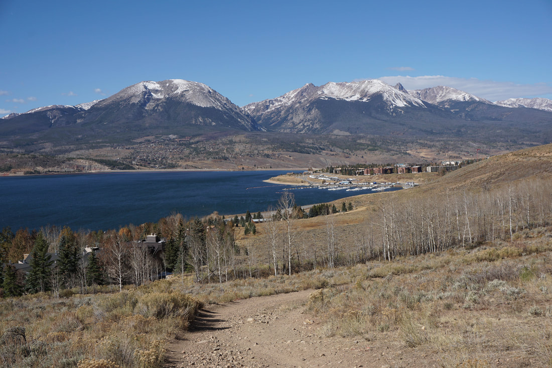
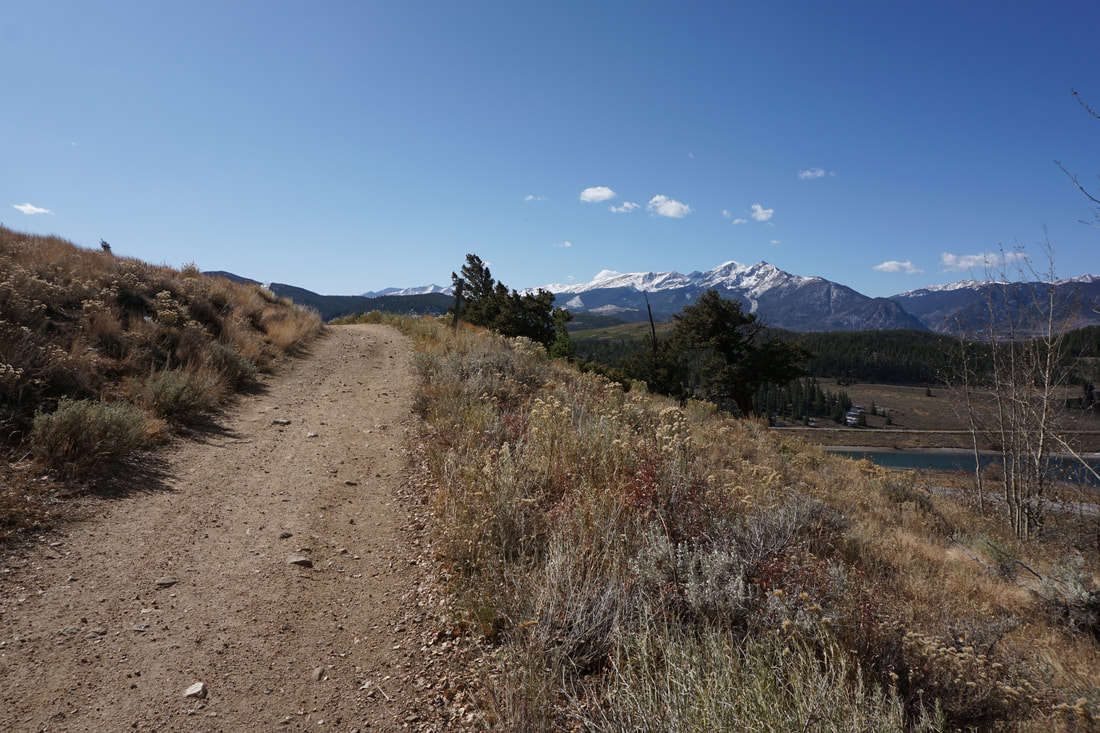
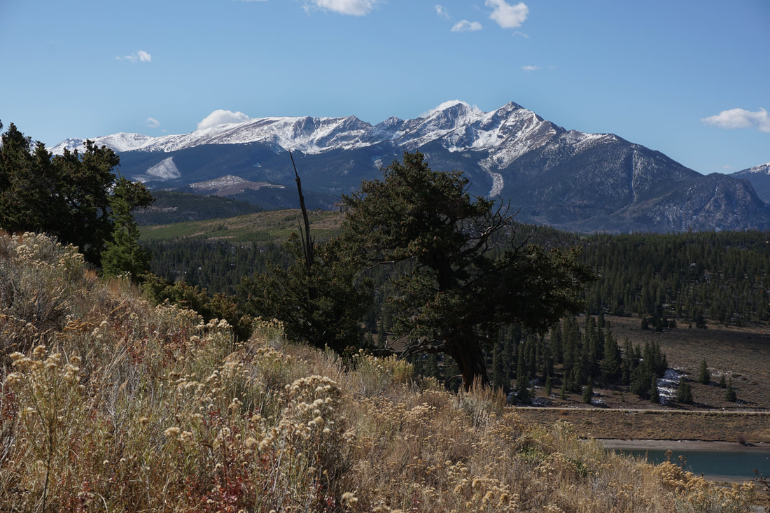
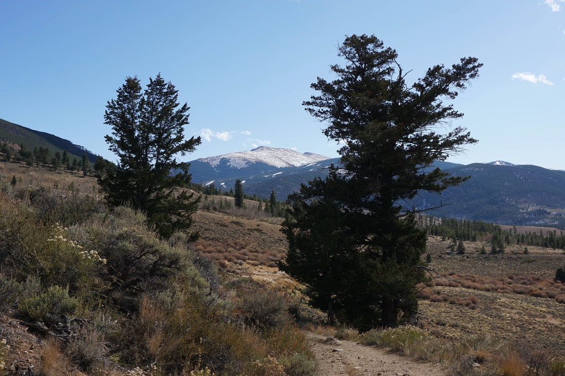
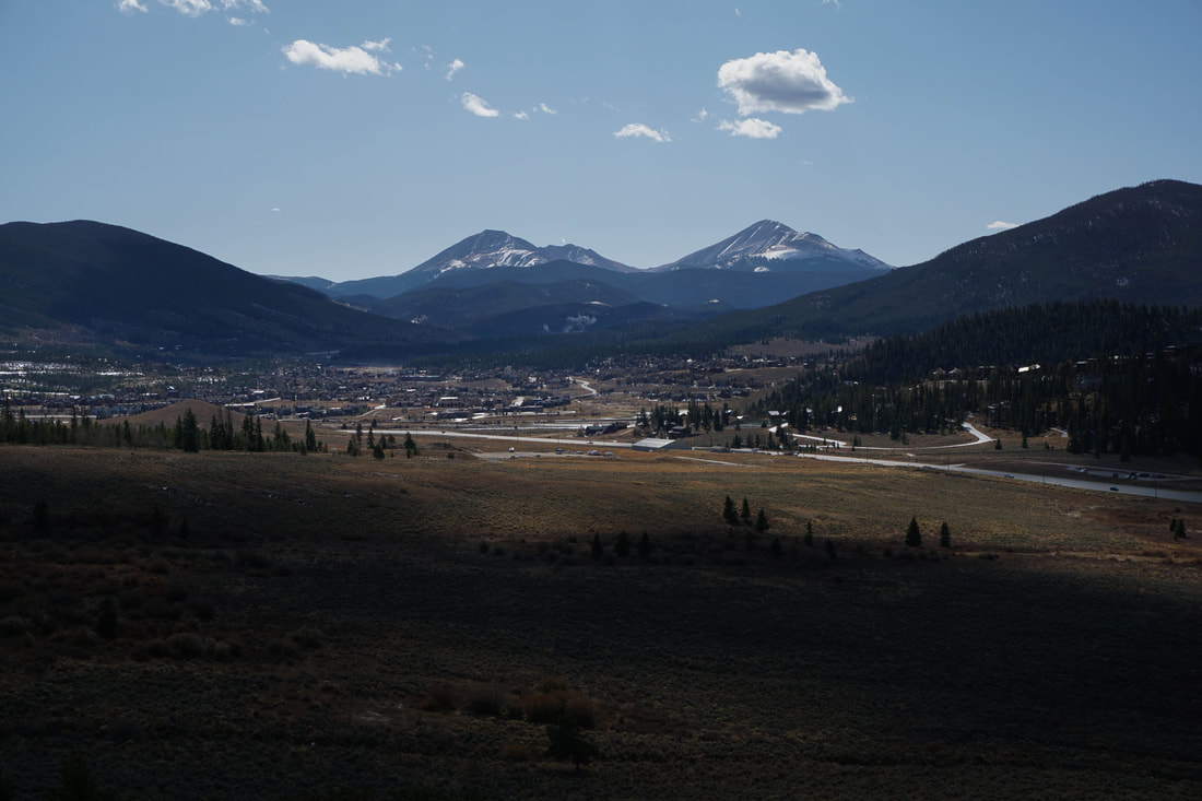
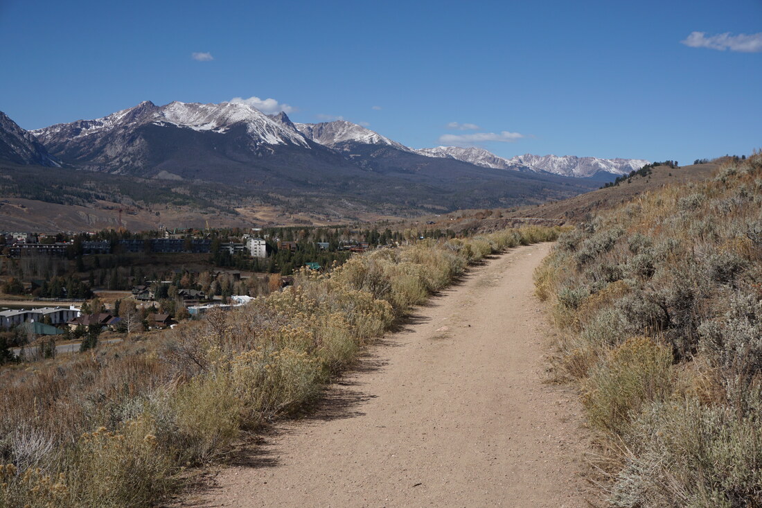
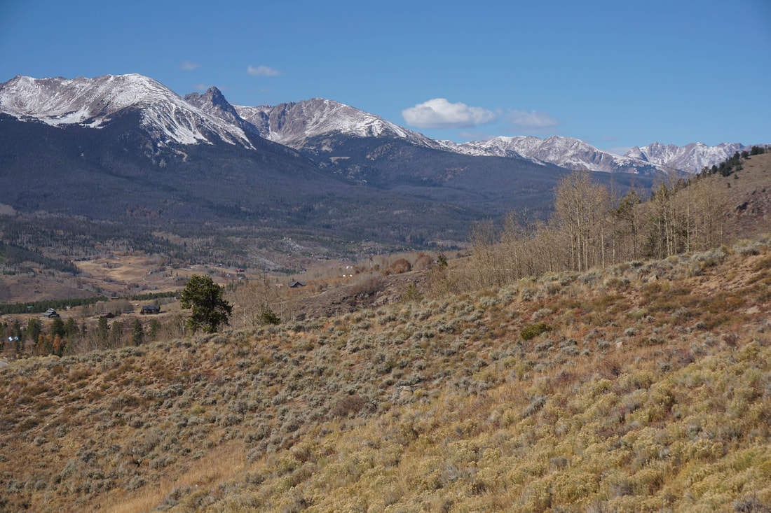
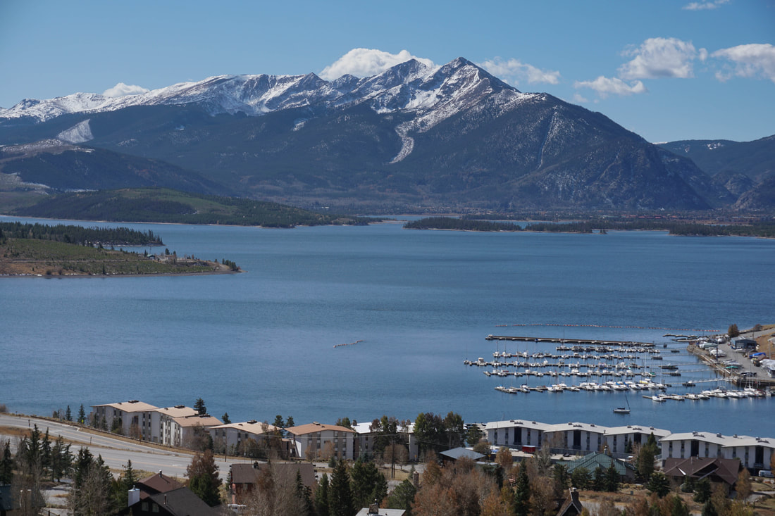
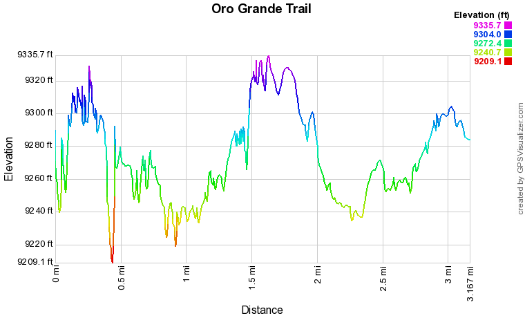
The trail starts from the Tenderfoot Mountain Trailhead and the views of Lake Dillon with the Tenmile Range towering above are immediate and constant. The trail is wide and easy to follow as it cuts across the mountain slopes. Soon after you start hiking the views to the north of Buffalo Mountain and the Gore Range begin and stay with you for the majority of the hike. The trail slopes down, crosses the first of many aspen groves and climbs back up to a right hand turn. This is first of many repetitions of this pattern along the way. At the turn is the junction with the Tenderfoot Trail which works its way up the mountain. Continue straight on the Oro Grande Trail. The next mile or so of this trail continues to cut across the slopes and passes through aspen groves. As you go, the views of the surrounding peaks continue. Hike as far as you wish but a good turnaround point comes at about 1.5 miles. You'll round a bend and get a great view of Whale Peak and Mount Guyot in the distance. The Oro Grande Trail continues straight for another mile so continue if you wish. If you turn around at this point, enjoy the mountains and the aspens as you return to the parking area. The Oro Grande Trail is well known and used by hikers and mountain bikers. The hike is great for kids and great in the fall. The trail itself has nice aspen groves and you'll get views of the large aspen groves on the slopes of the Gore and Tenmile Ranges. All in all, a great hike, with easy access, easy terrain, and big, golden, mountain views. |
|