GO HIKE COLORADO
Get in Touch:
  • HOME
  • ABOUT
  • HIKES BY REGION
    • DENVER AREA >
      • Denver Mountain Parks
      • Jefferson County Open Space
      • Lakewood Parks
      • Denver Area Greenways
    • BOULDER AREA
    • DOUGLAS COUNTY
    • FORT COLLINS AREA
    • COLORADO SPRINGS AREA
    • FRONT RANGE
    • TENMILE & MOSQUITO RANGES
    • GORE RANGE
    • SANGRE DE CRISTO MOUNTAINS
    • PARK RANGE
    • SAWATCH RANGE
    • ELK MOUNTAINS
    • SAN JUAN MOUNTAINS
    • THE FLAT TOPS
    • GRAND MESA
    • COLORADO PLATEAU
    • EASTERN PLAINS
  • NATIONAL PARK HIKES
    • BENT'S OLD FORT NATIONAL HISTORIC SITE
    • BLACK CANYON OF THE GUNNISON NATIONAL PARK
    • COLORADO NATIONAL MONUMENT
    • CURECANTI NATIONAL RECREATION AREA
    • DINOSAUR NATIONAL MONUMENT
    • FLORISSANT FOSSIL BEDS NATIONAL MONUMENT
    • MESA VERDE NATIONAL PARK
    • ROCKY MOUNTAIN NATIONAL PARK
    • GREAT SAND DUNES NATIONAL PARK
    • HOVENWEEP NATIONAL MONUMENT
    • SAND CREEK MASSACRE NATIONAL HISTORIC SITE
    • YUCCA HOUSE NATIONAL MONUMENT
  • HIKES BY CATEGORY
    • HIKES TO ALPINE LAKES
    • HIKES TO PEAKS & PASSES
    • HIKES THROUGH CANYONS
    • HIKES WITH FALL COLORS
    • HIKES ALONG THE I-70 CORRIDOR
    • HIKES ON PAVED TRAILS
    • HIKES FOR KIDS
    • HIKES TO WATERFALLS
    • HIKES ALONG RIVERS
    • HIKES WITH ROCK FORMATIONS
    • HIKES WITH WILDFLOWERS
    • WINTER HIKES
  • NEWS
  • WEBCAMS
  • $UPPORT GHC
  • INTERACTIVE MAP

BCT> West Ridge >
​Meadow View Loop

O'Fallon Park

Date Hiked: April 1, 2012 (Updated based on new trail names 2017)

​Distance: 3.1 mi (RT)

  • Elevation Gain: 500ft​
  • Elevation Min/Max: 7,145 to 7,499ft
  • Managing Agency: Denver Mountain Parks
  • Fee: None

O'Fallon Park Trail Map
Picture

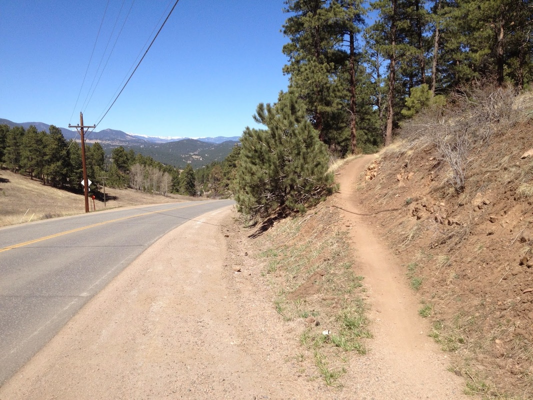
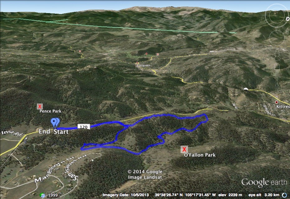
Directions:  From Morrison, follow Morrison Road west through Bear Creek Canyon.  Pass through the town of Ideldale and pass by the main parking areas for Corwina Park and O'Fallon Parks.  Just before you reach Kittredge, turn left (south) onto Meyers Gulch Road.  Look to the left of the road and you'll soon see a trail meet the road.  There is a pull off here big enough for a few cars but if it is full you can park at the large parking area for Pence Park, just across the street.

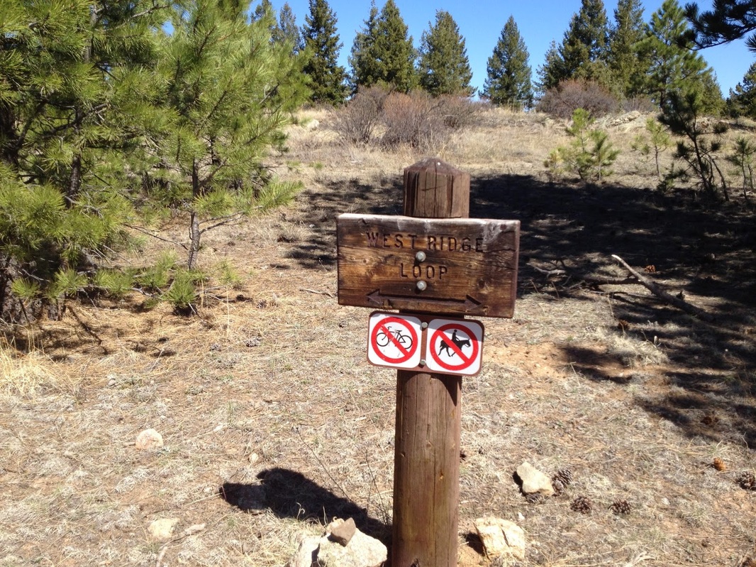
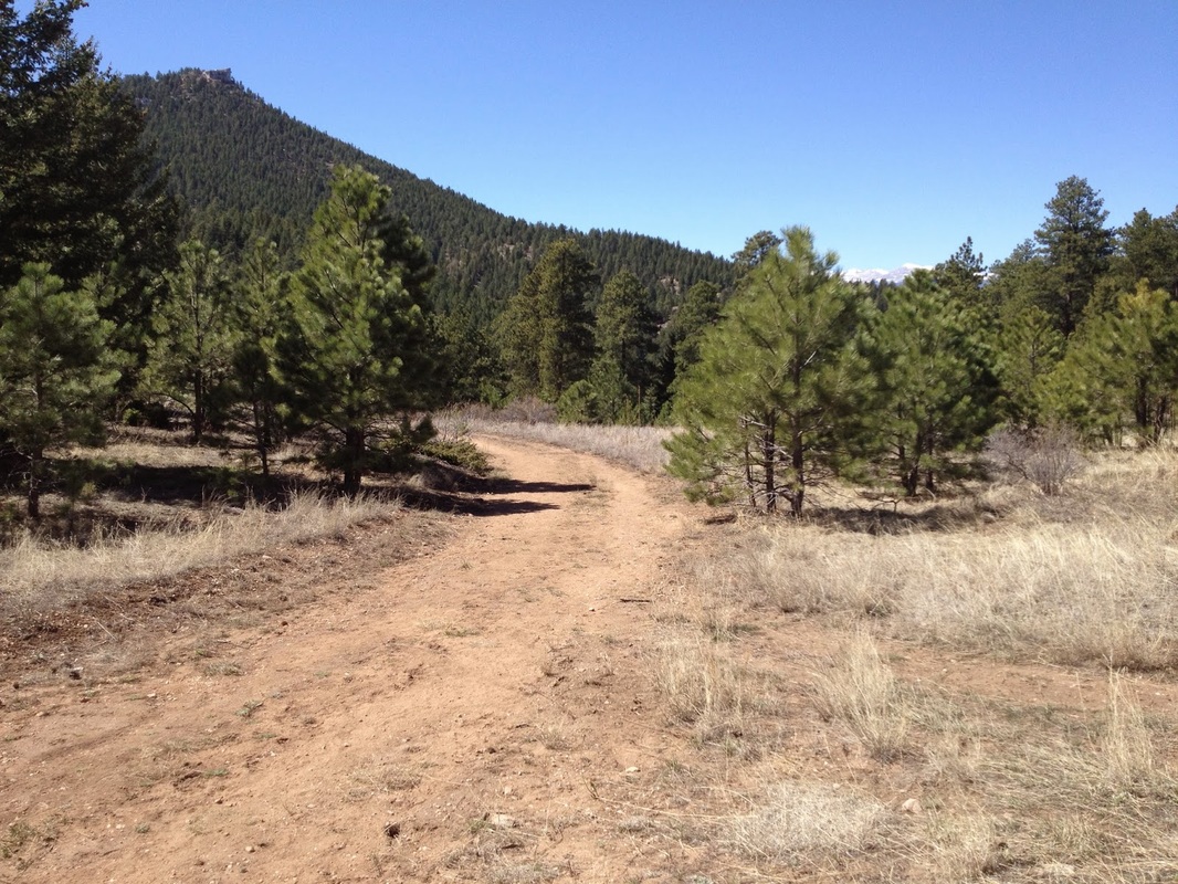
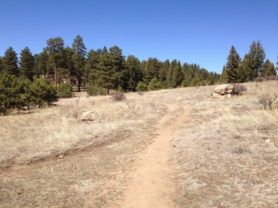
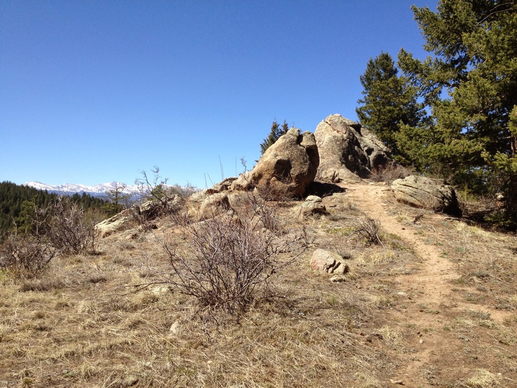
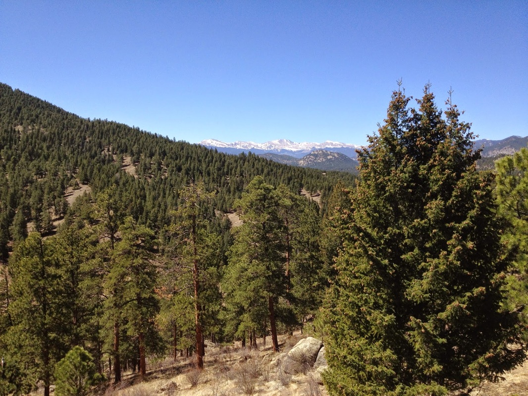
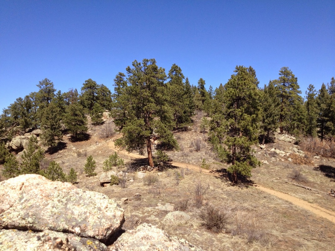
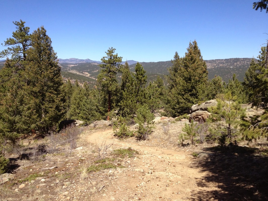
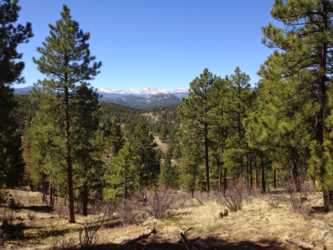
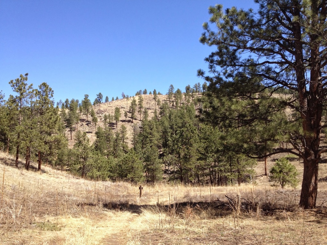
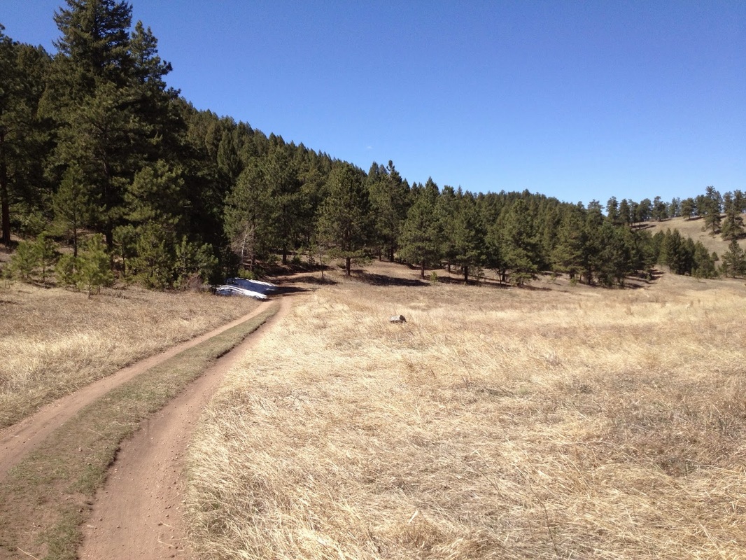
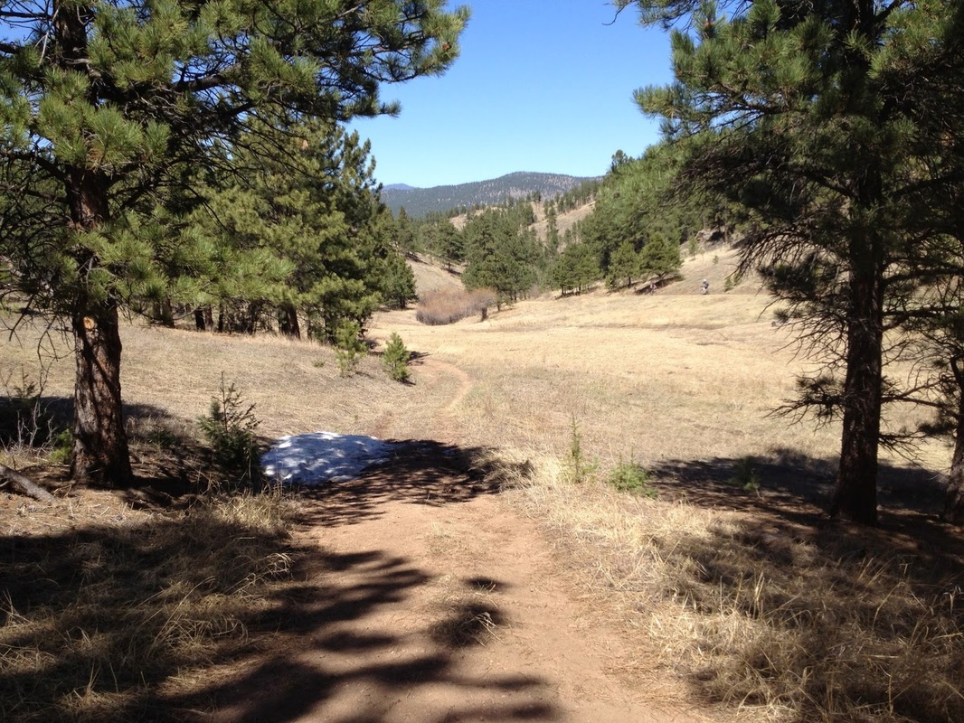
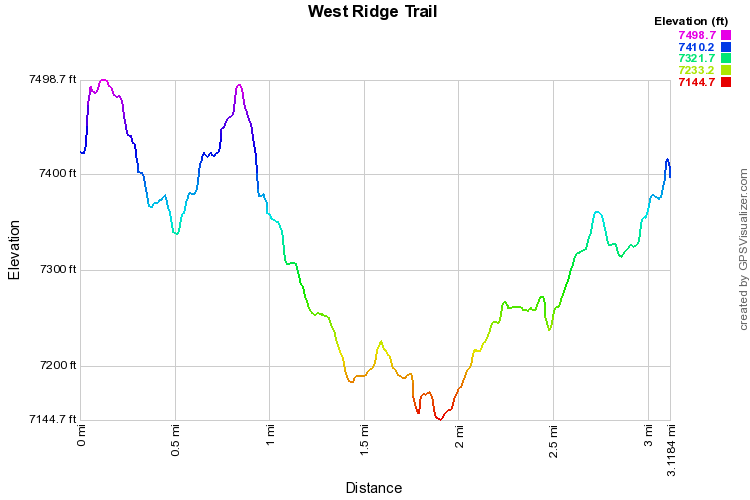
The West Ridge/Meadow View Loop is a terrific hike exploring the southern portion of O'Fallon Park.  The trail passes through pine and aspen forest with meadows offering nice views of the surrounding foothills.  

From Meyers Gulch Road follow the Bear Creek Trail as it parallels the road for about .5 mile before it reaches the intersection with the West Ridge Trail.   From here you can either stay on the Bear Creek Trail or turn left onto the West Ridge Trail.  I recommend starting with the West Ridge Trail as the views are better from this portion.  ​Make sure you follow the short detour to a rock outcropping with a great view of Mt. Evans along the way. 

When you reach the Junction with the Meadow View Trail, turn right and hike through pine forest until you reach the Bear Creek Trail.  Turn right and follow the BCT back to the West Ridge Trail junction and the trailhead. 


This is a wonderful and peaceful loop close to Denver.  While the BCT is very popular with mountain bikers, the West Ridge Trail offers a more relaxing hike without the need to keep your eyes peeled around corners. 
© Go Hike Colorado, 2020.  All Rights Reserved. 
Use of photographs without prior authorization is
​strictly prohibited.


Contact us at:
[email protected]
Legal Disclaimer - Information provided on this site is based upon our own observations, always double check information with the appropriate land management agency before heading into the backcountry.  Backcountry travel is inherently dangerous, please take all proper precautions.  Go Hike Colorado is not responsible for injury or incident.