|
|
|
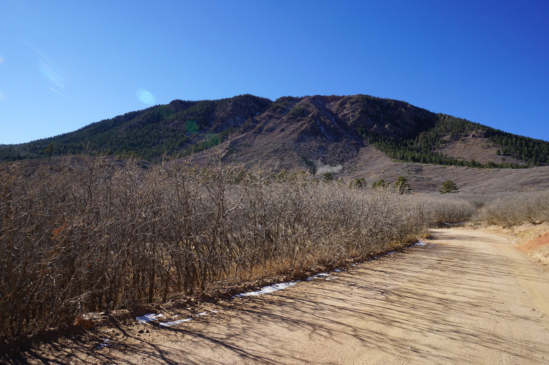
DIRECTIONS: The drive up to the Mt. Herman Trailhead is half the adventure. From I-25 take exit 161 for Monument and head west on 2nd Street. Turn left (South) on Mitchell Ave and right (west) on Mt. Herman Road. Head west for 3/4 of a mile to the boundary of Pike National Forest and the Monument Fire Center. Here the road becomes dirt. It's not a bad dirt road but it is narrow, there are extreme drop offs, and plenty of rocks and potholes...SUV or better recommended. See the photo below for a picture of the road. Drive on the dirt road for about 4 miles to the trailhead. Parking fills up fast so...good luck!

Mt. Herman Road
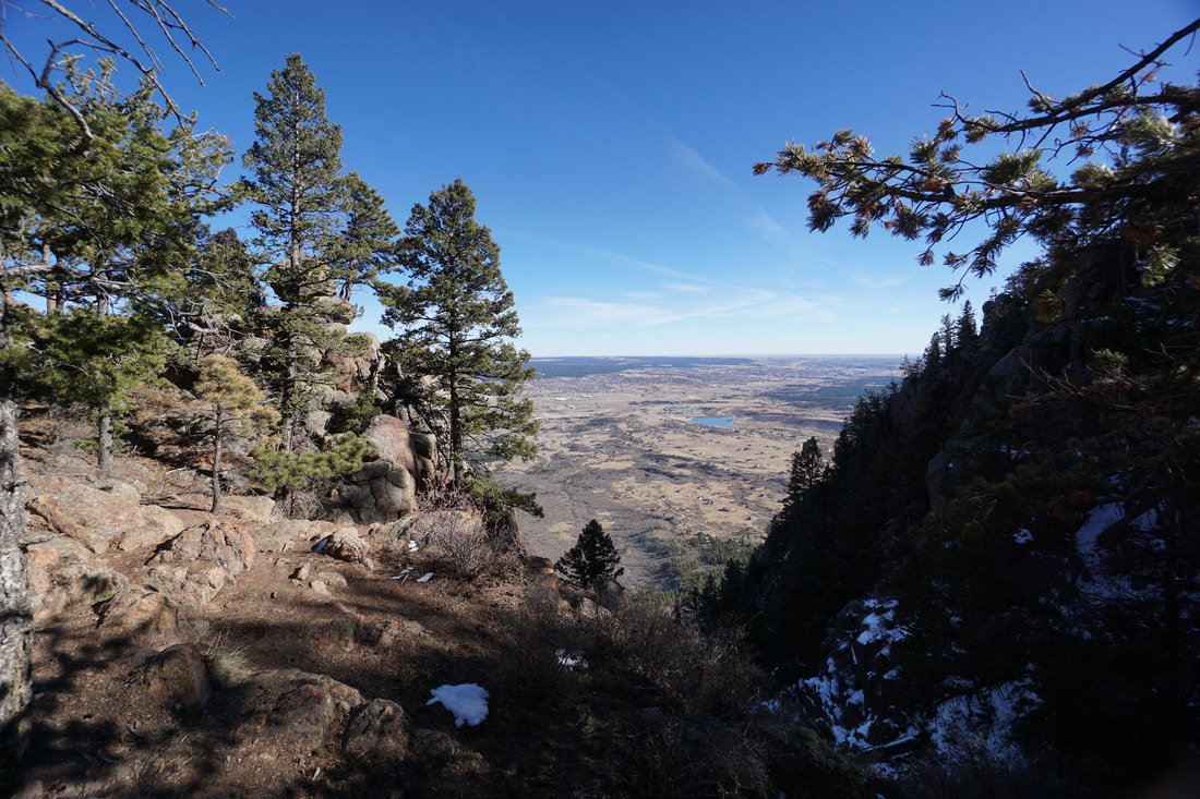
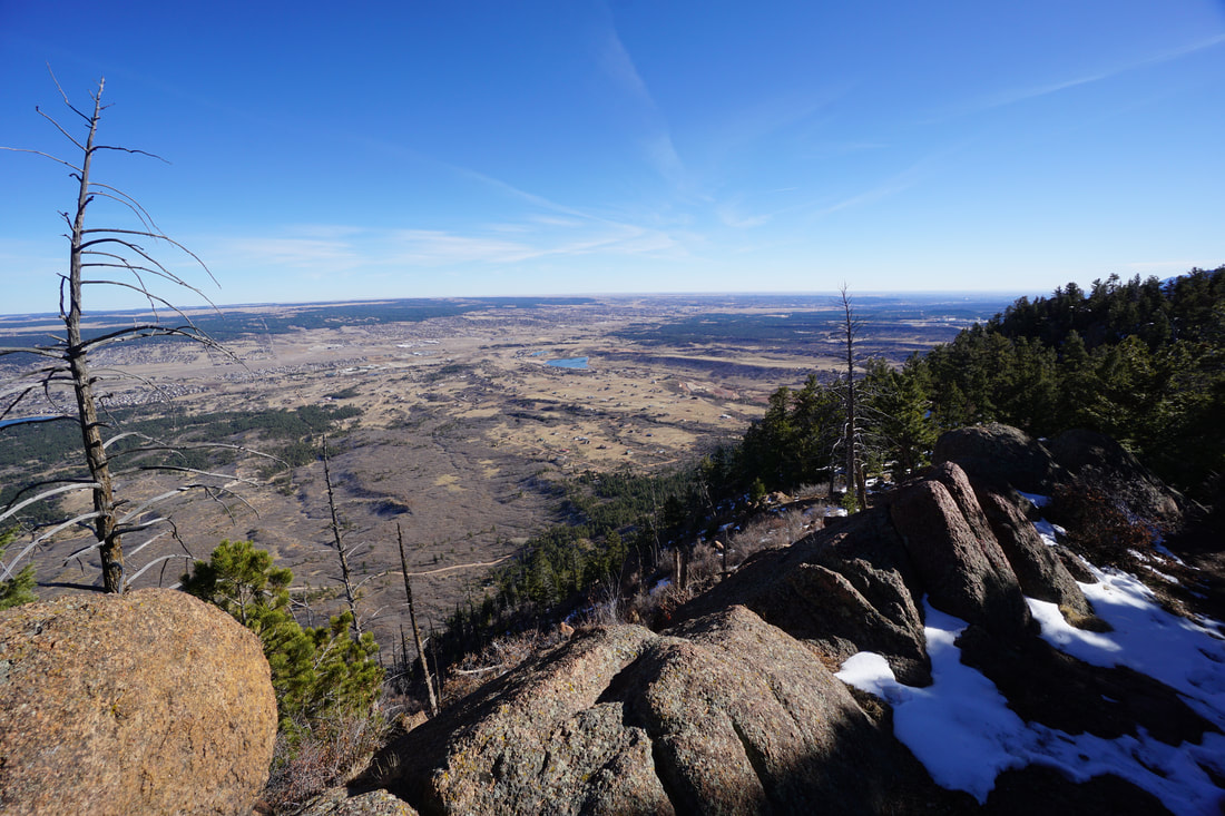
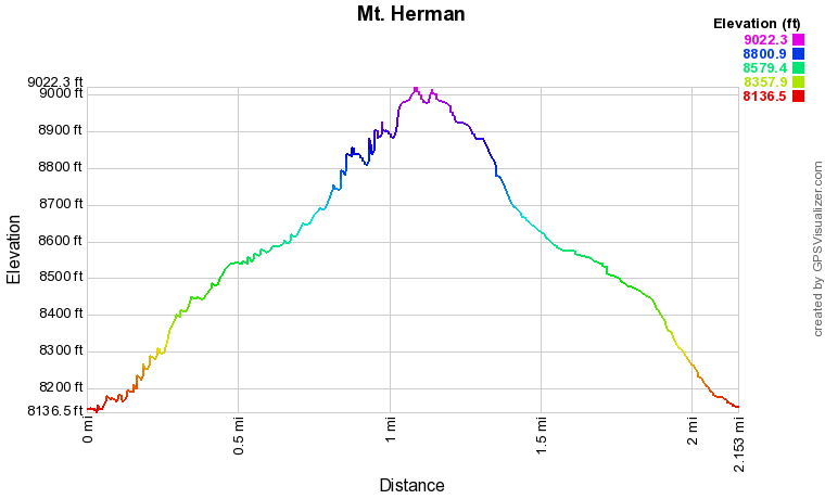
Mt. Herman is a terrific hike and it's well known by hikers in Colorado Springs, the Monument area, and the Air Force Academy. The hike is relatively short but it gains a fair bit of elevation and is steep in parts. The views from the ridge and the summit are nothing short of spectacular.
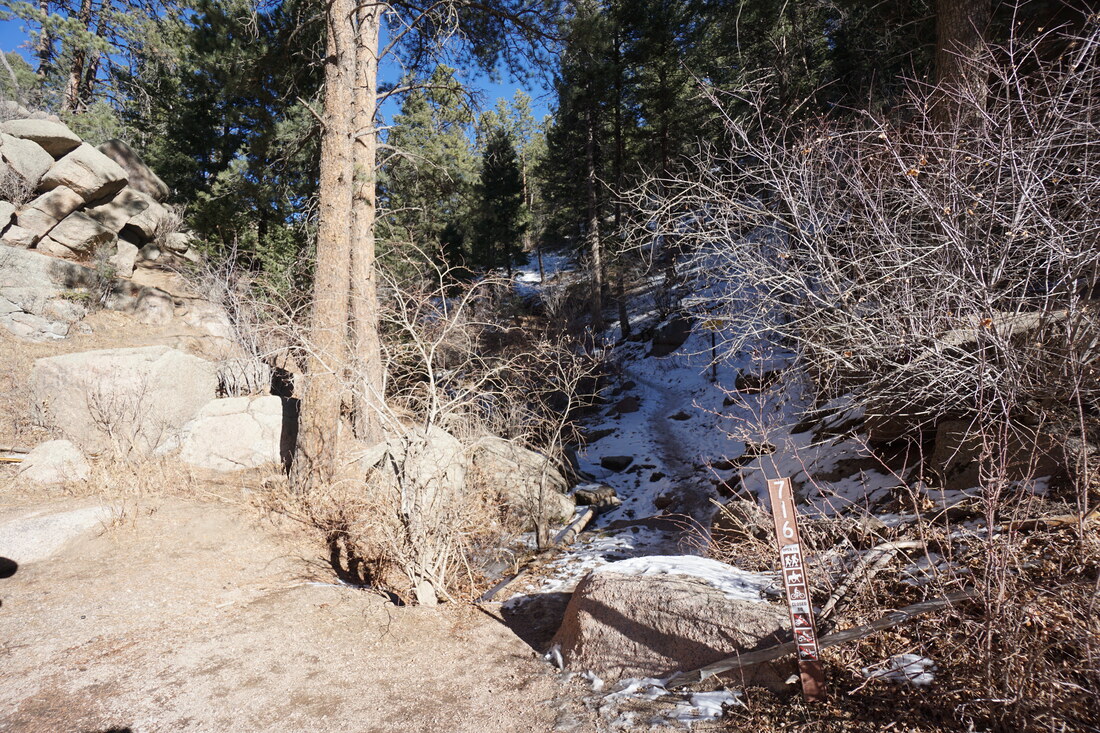
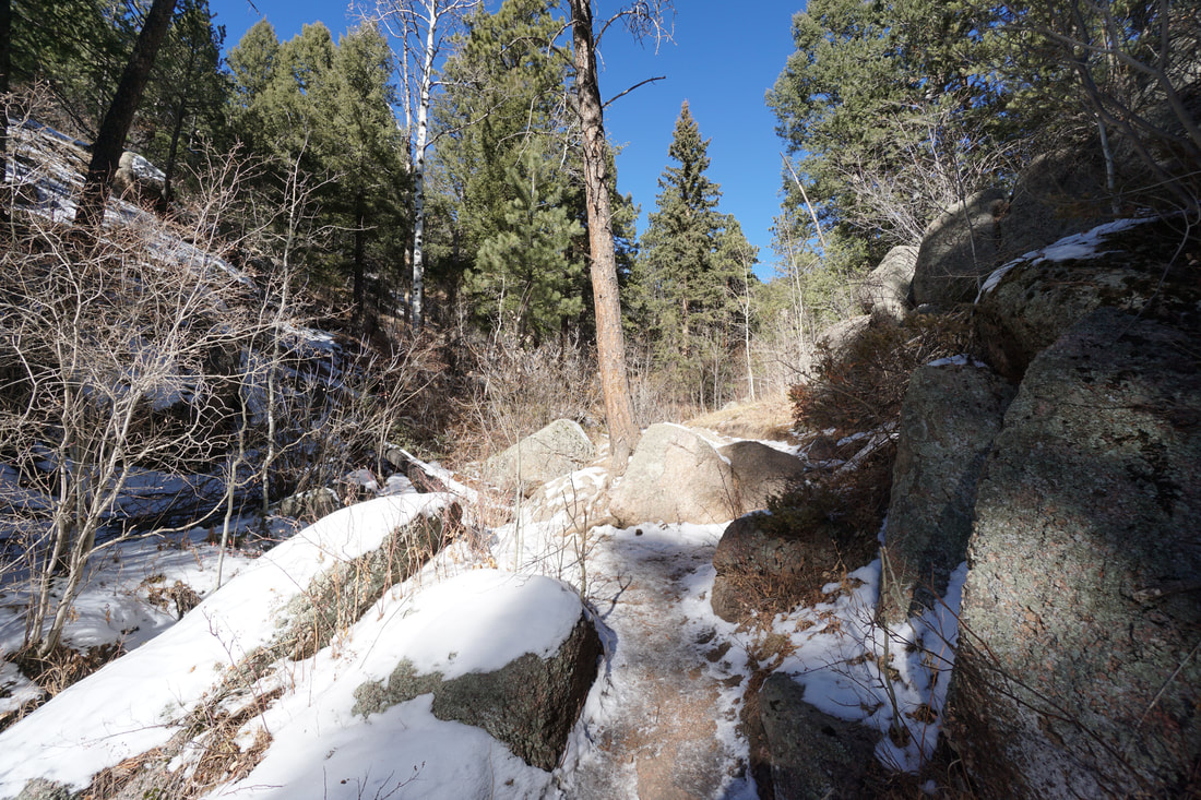
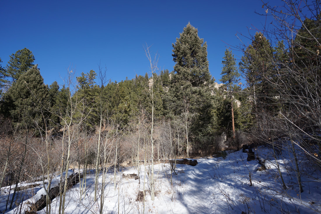
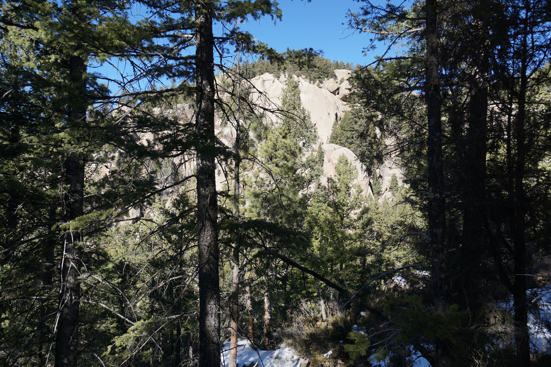
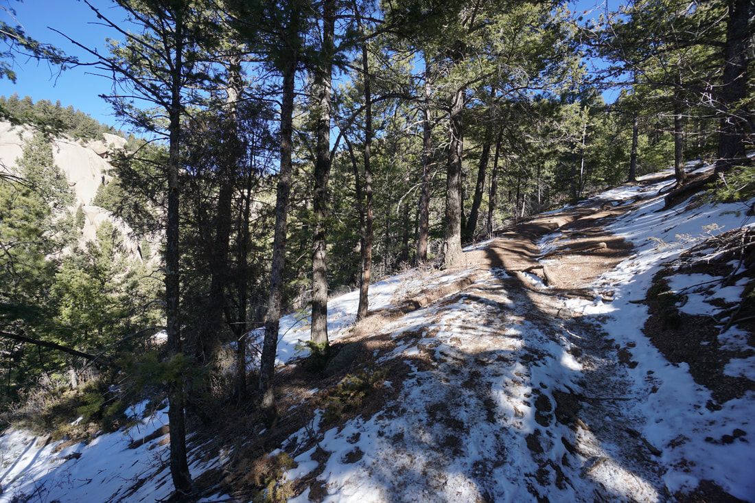
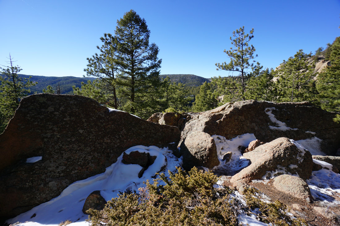
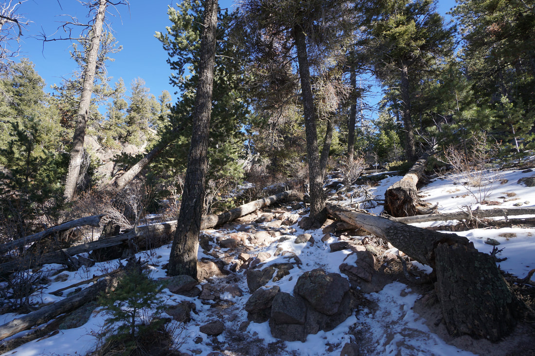
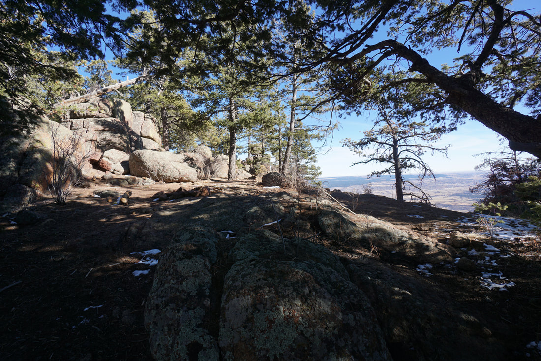
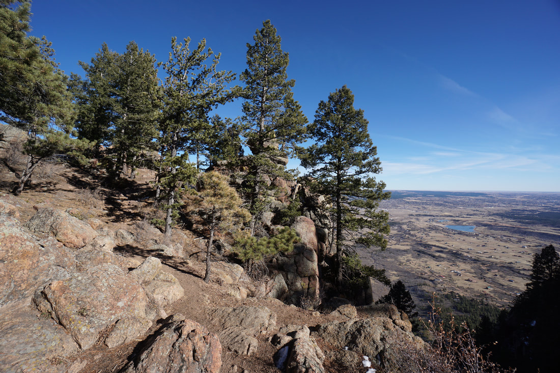
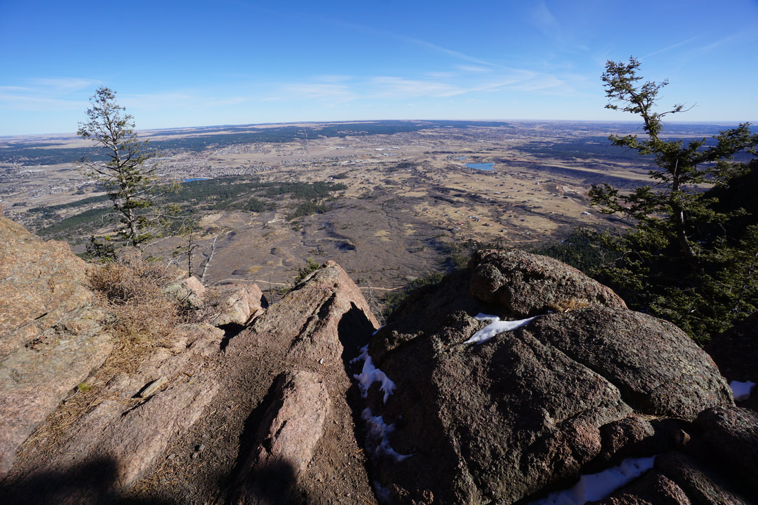
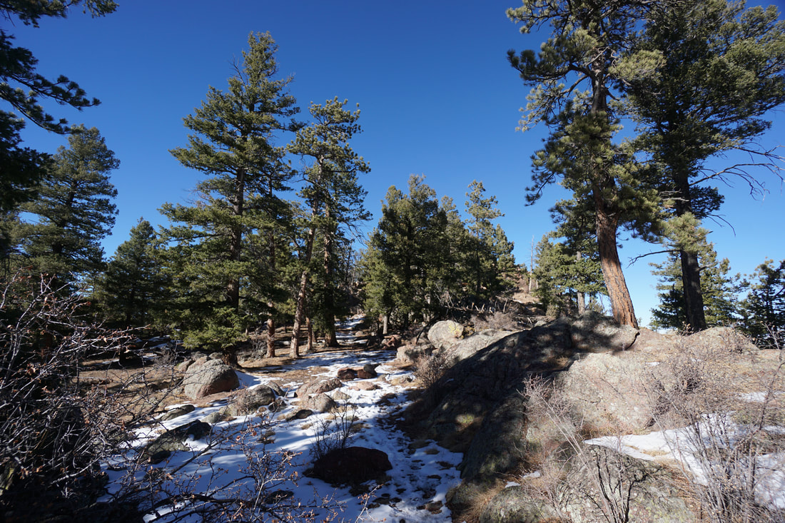
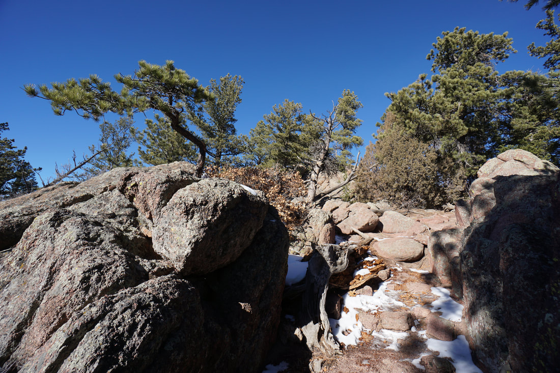
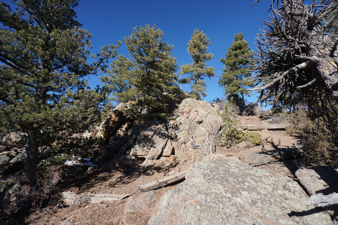
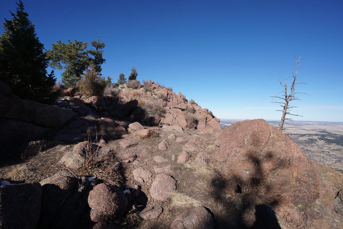
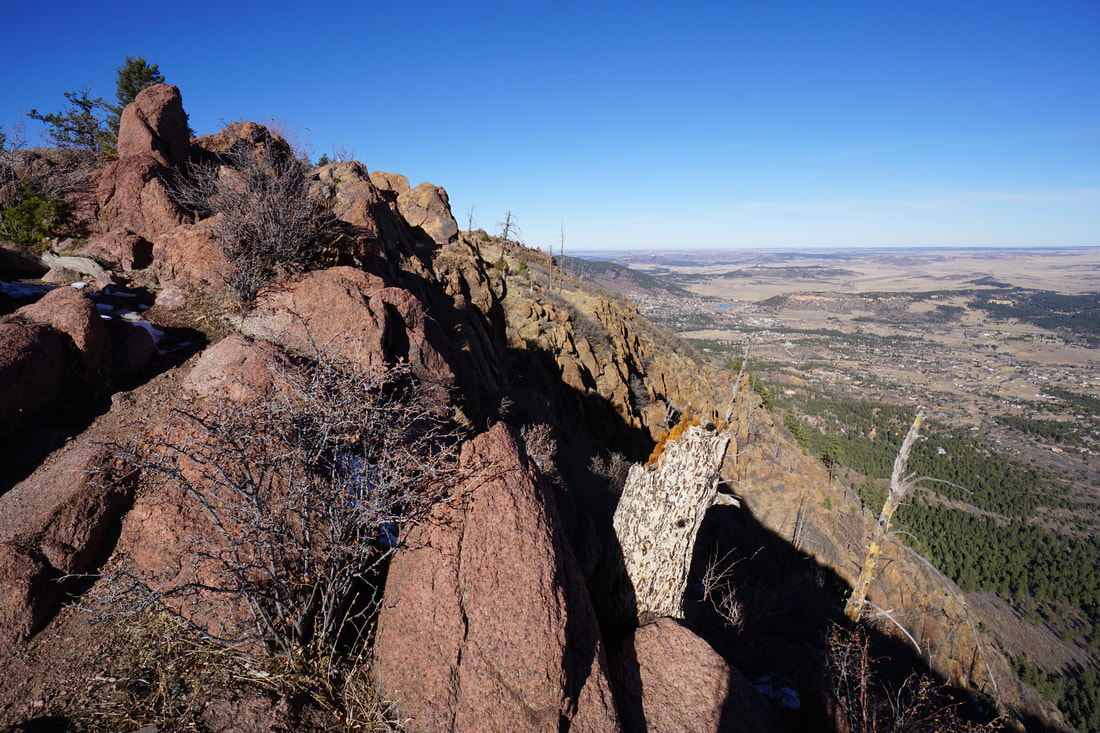
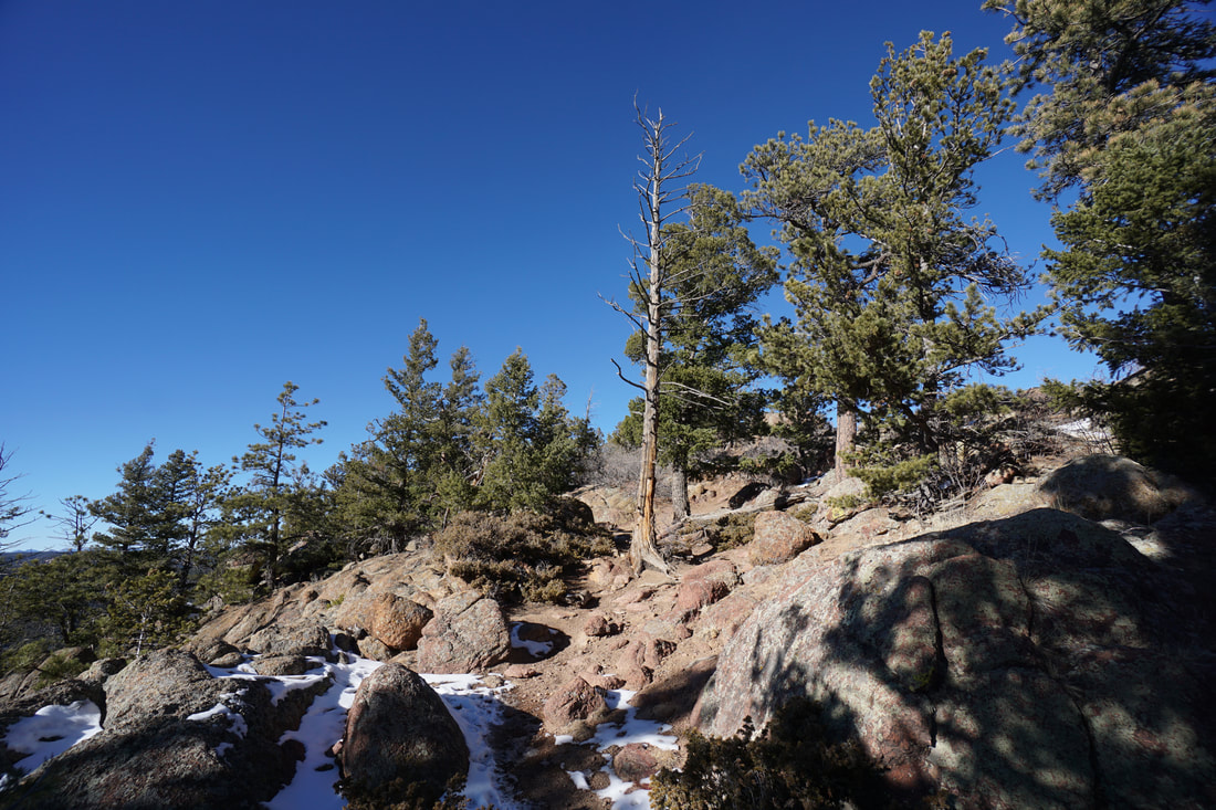
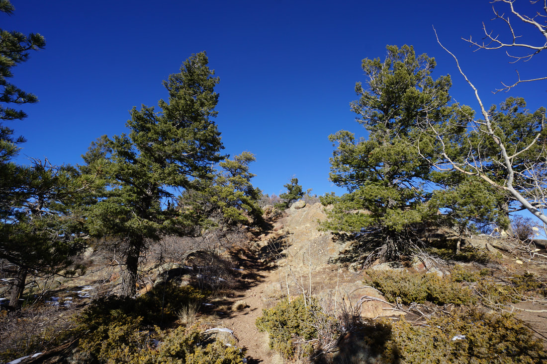
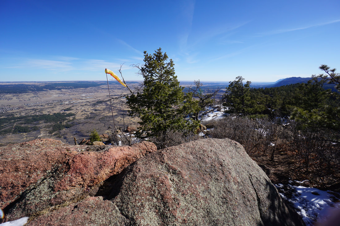
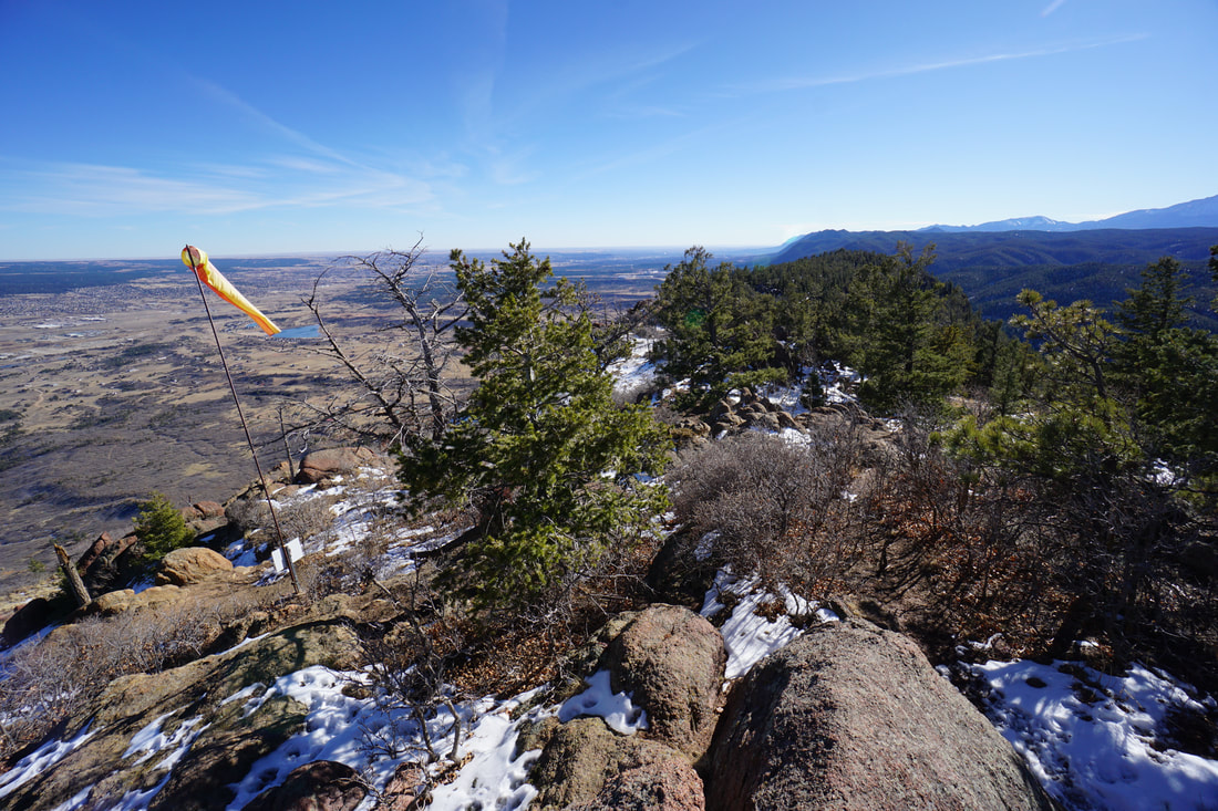
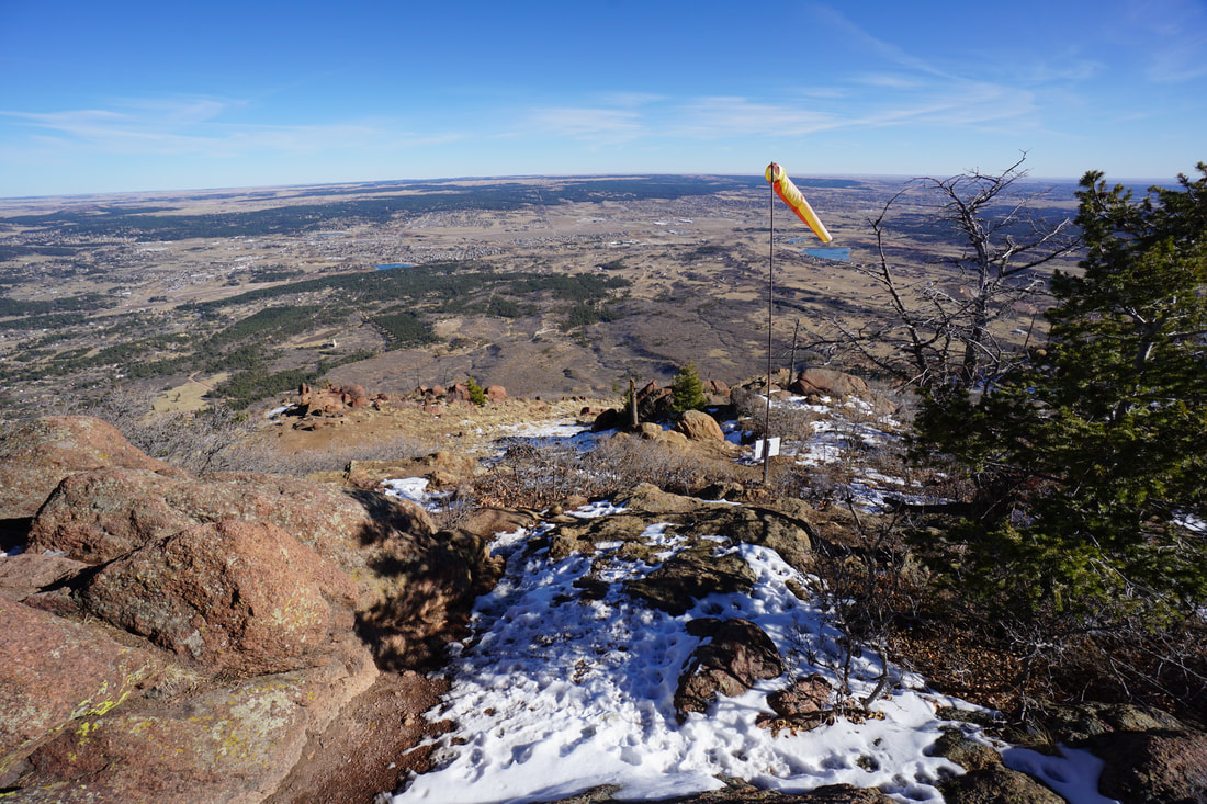
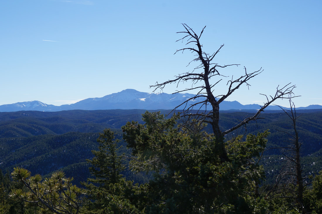
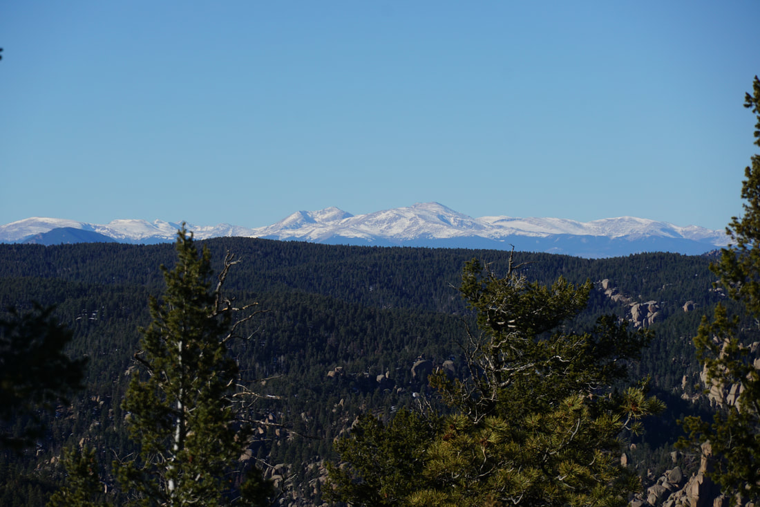
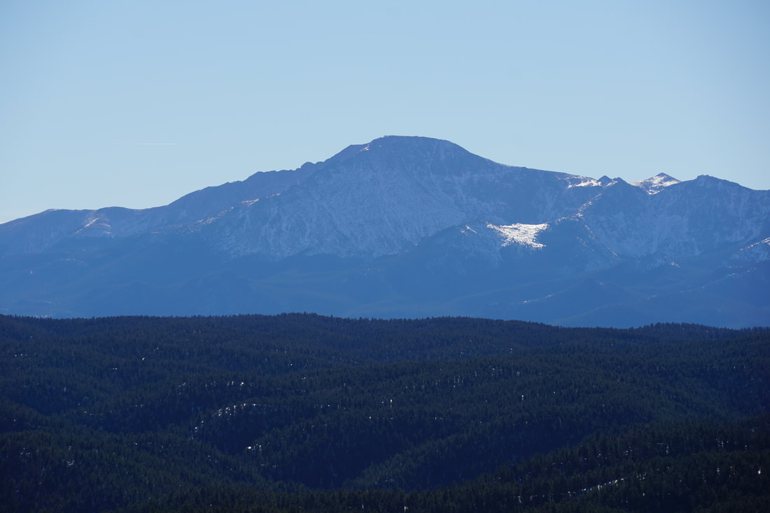
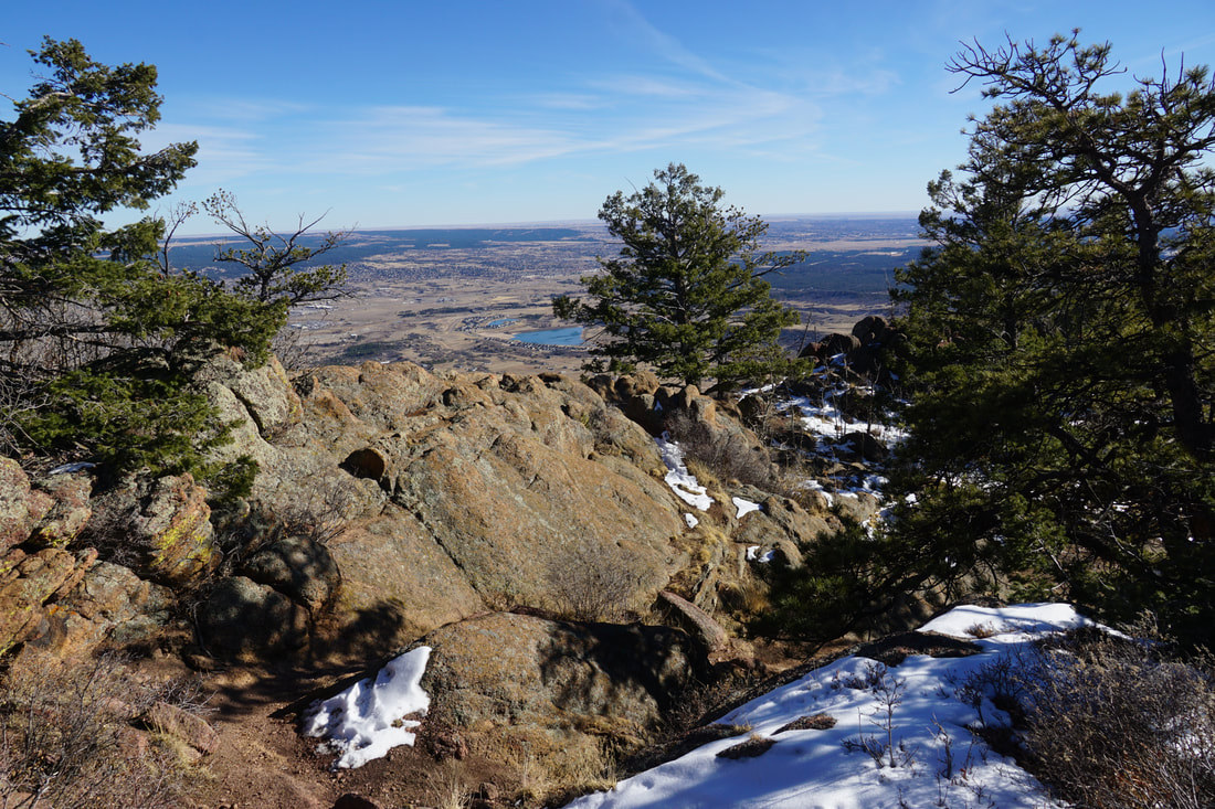
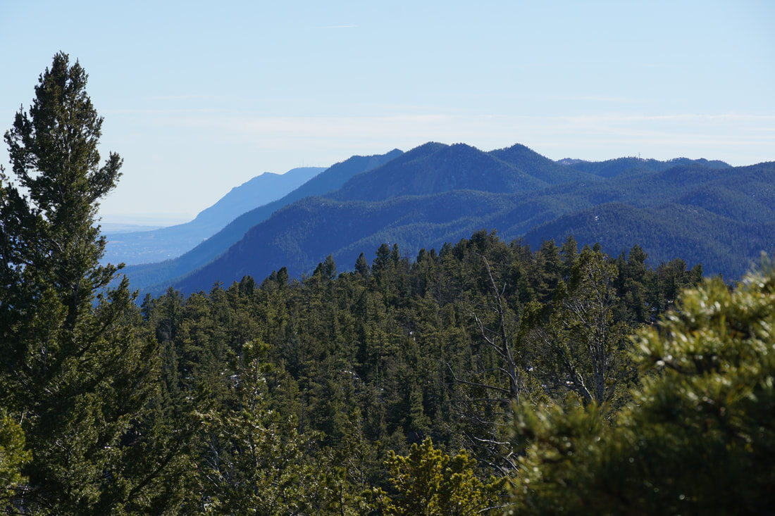
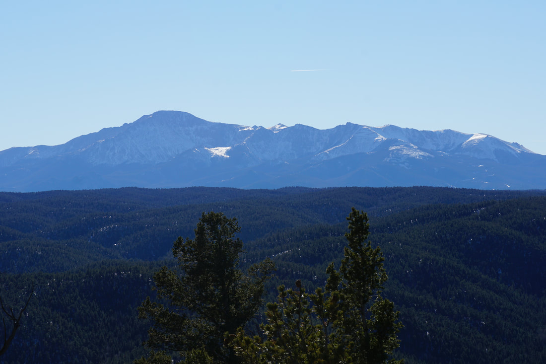
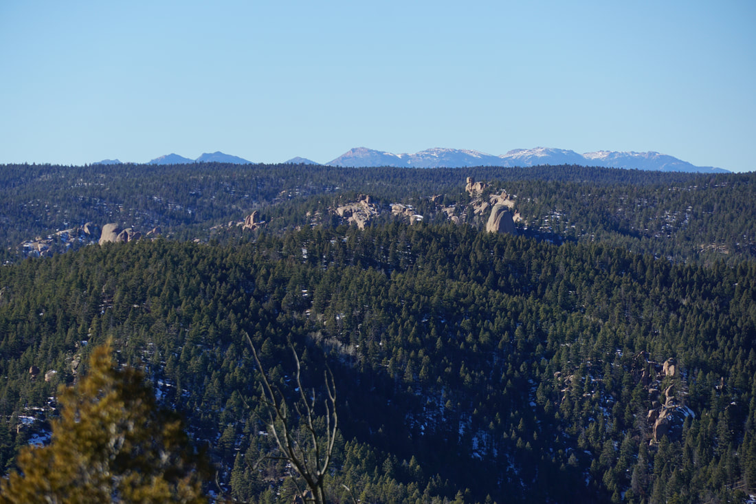
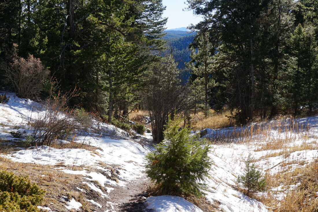
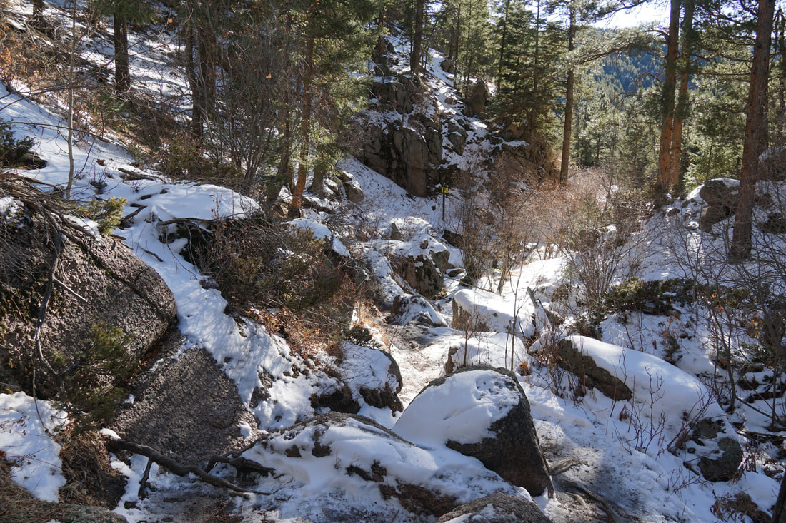
The trail starts out by snaking up through a rocky gorge and within a few minutes you are faced with a fork in the trail. Stay to the right and follow the trail as it turns sharply and heads uphill. From here the trail weaves through the forest with sparse views through the trees. Off the the left you'll see a rocky cliff face through the trees, a short spur trail takes you to an overlook. Keep climbing following the rocky trail until you reach a cliff edge and an overlook. This view is incredible but you're not at the top yet. The trail here can be hard to spot but you basically have two options. The official trail stays just below (to the west of) the ridge leading to the summit. Well worn social trails follow the ridge and provide almost constant views. On my hike, I stayed on the ridge on the way up and took the official trail on the way down...you can't go wrong either way. Before long you'll reach the summit and you'll know you are there when you see the wind sock. The views, the views, the views. Aside from the staggering view down to the Monument area, you'll be treated to views of the Pike's Peak Massif to the south, the Tarryall Mountains to the west, Mt. Evans and the Northern Front Range mountains to the northwest. The hike back down to the trailhead is a quick one and follows the same route. Mt. Herman is well worth the visit. It can get busy on the weekends so hike early or mid-week. The hike should be accessible year round but if Mt. Herman road is muddy or snow covered then you may need to hike elsewhere. The trail can get icy and slick in the winter so bring some microspikes along. |
|