|
|
|
Directions: From Idaho Springs head south on 103 (Squaw Pass Road) for 14 miles to Echo Lake. Turn right onto Mt. Evans Road for 2.5 miles to the Mt. Goliath Natural Area parking lot and visitor's center.
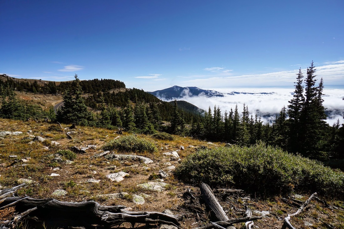
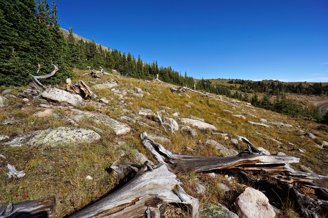
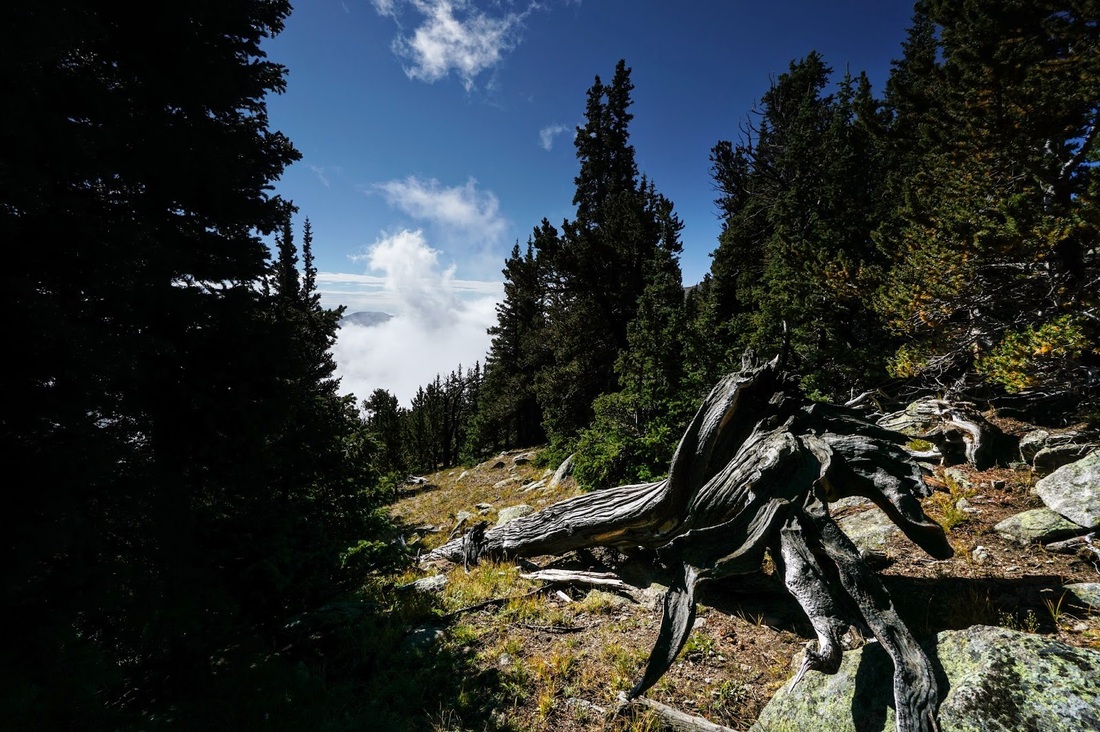
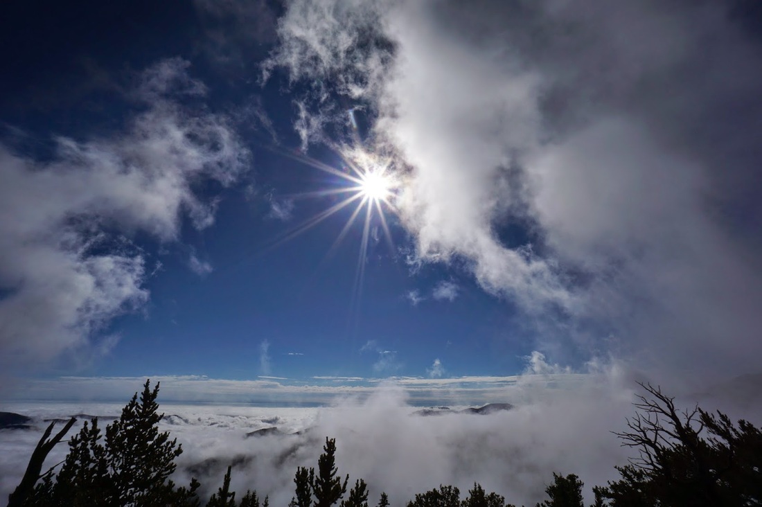
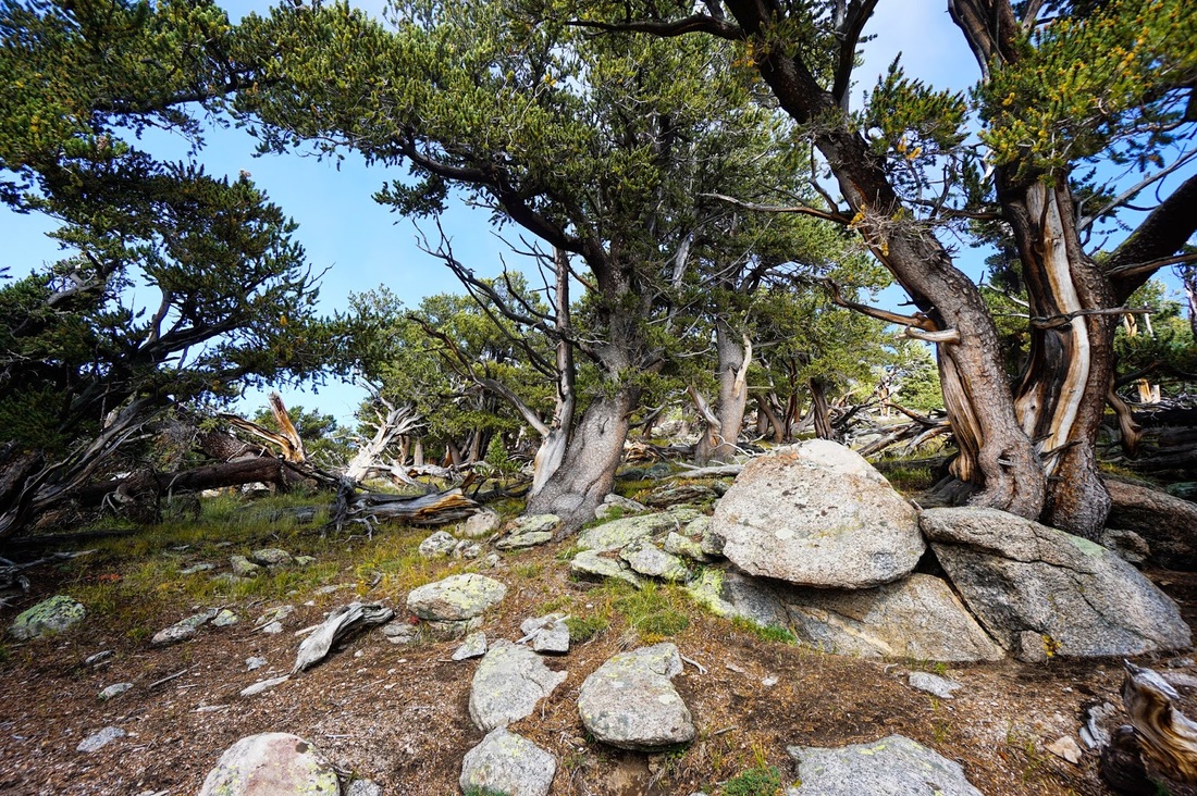
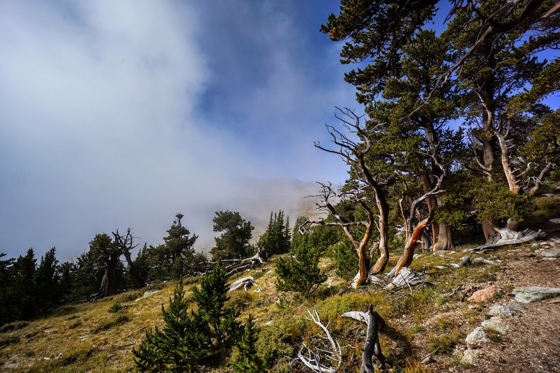
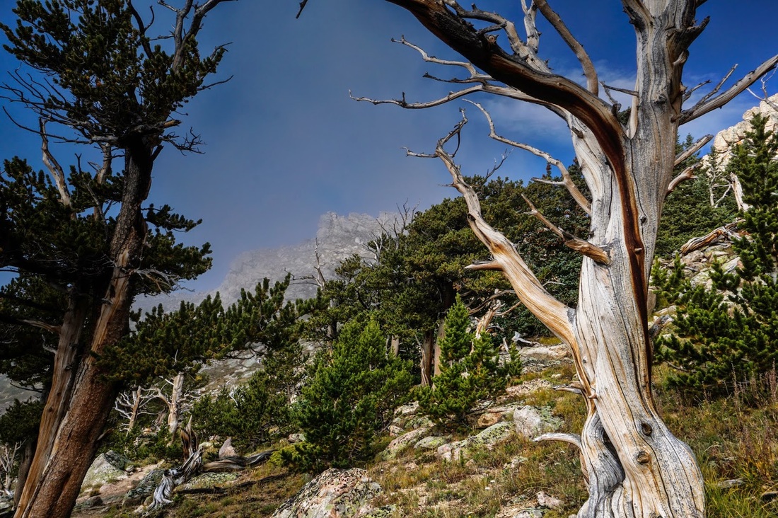
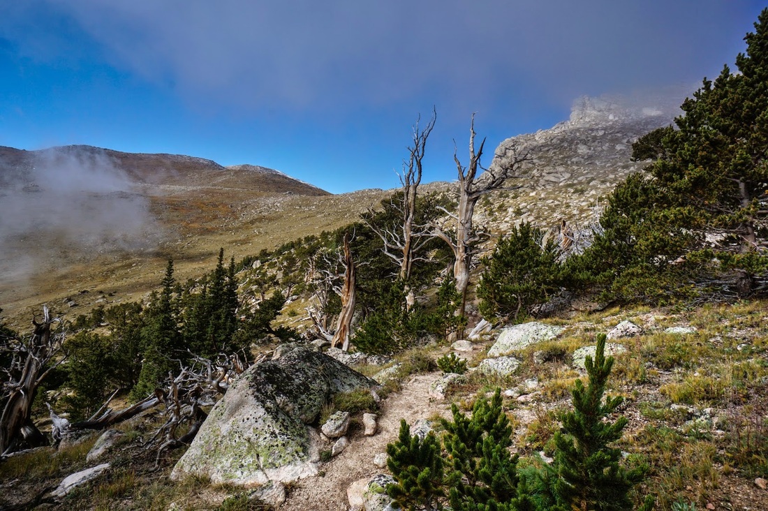
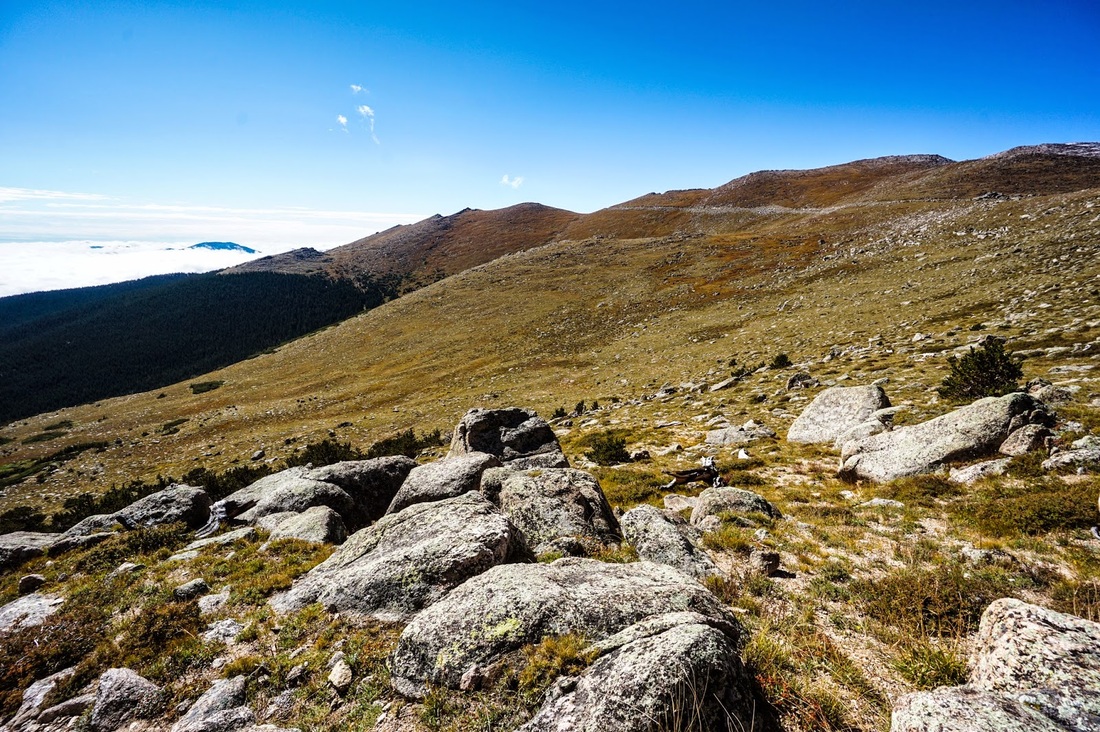
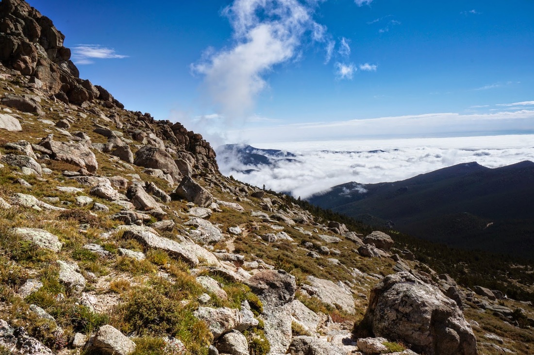
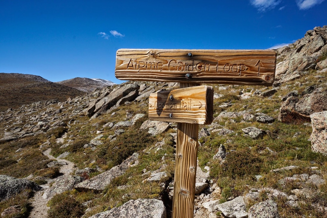
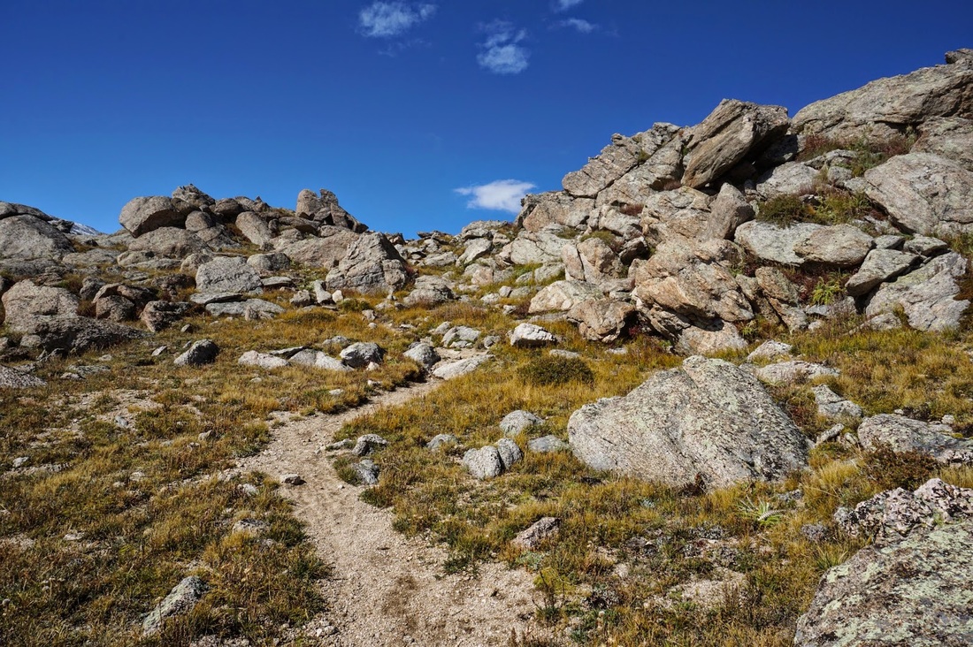
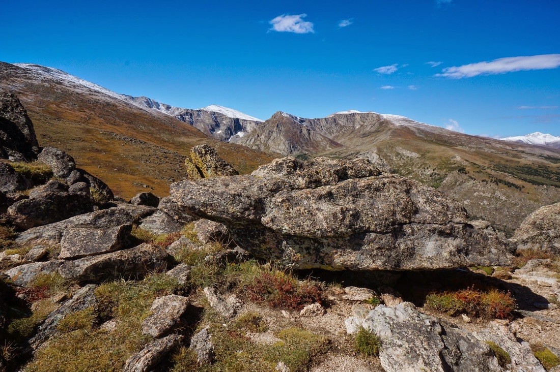
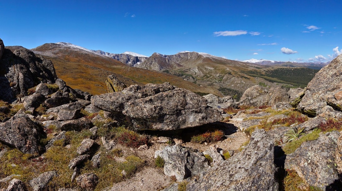
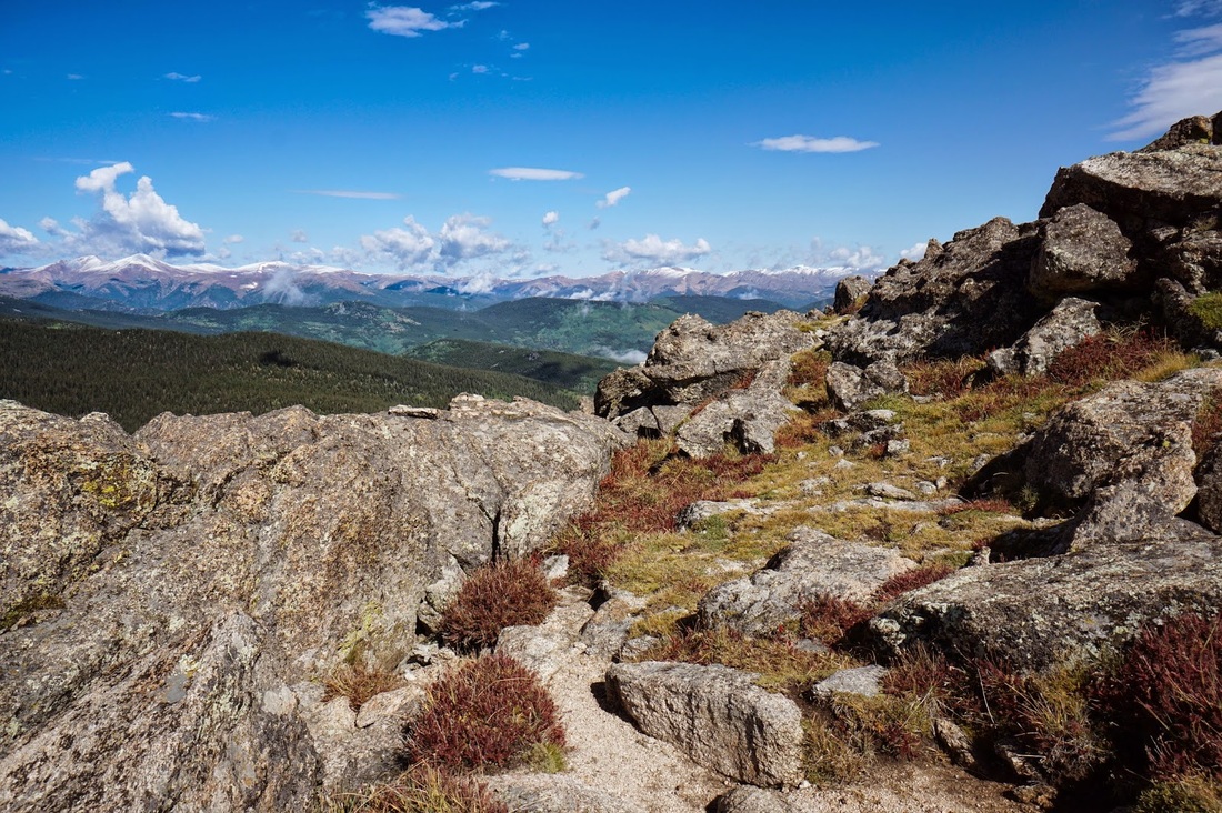
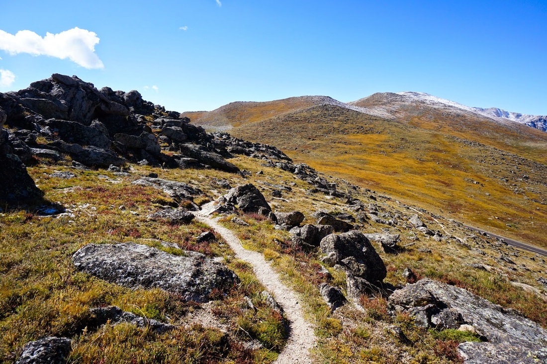
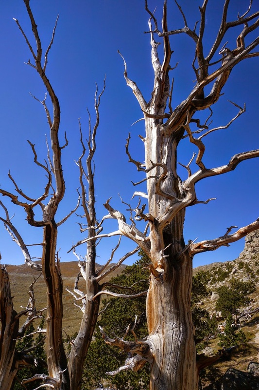
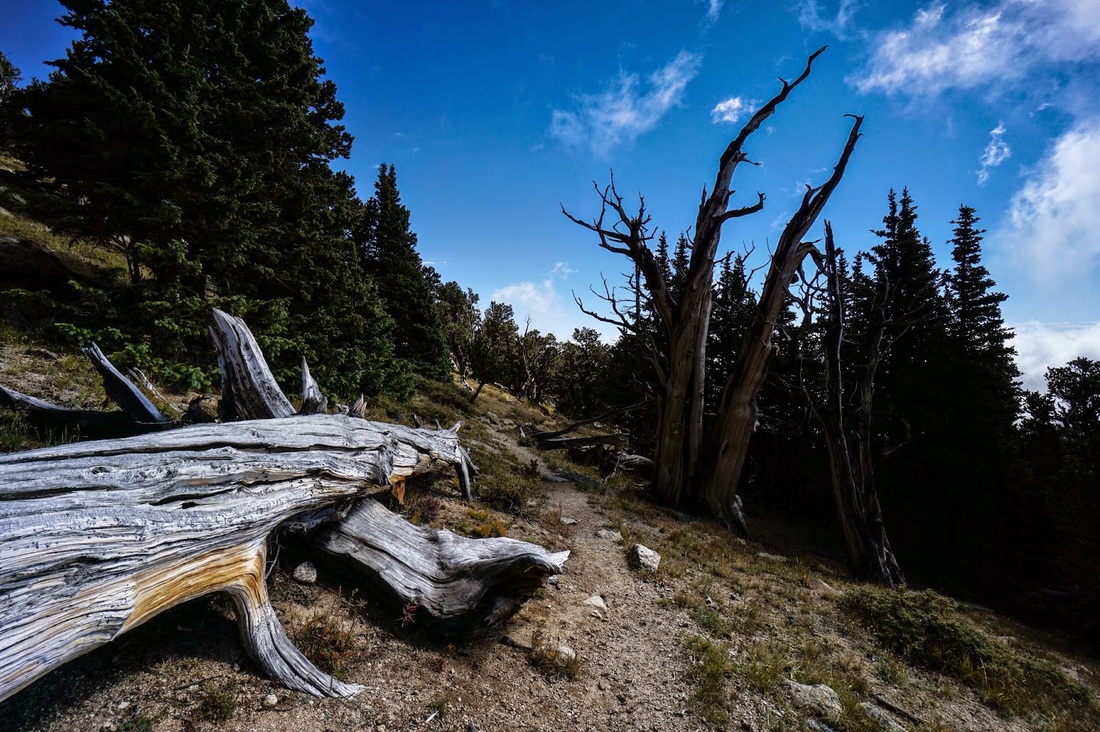
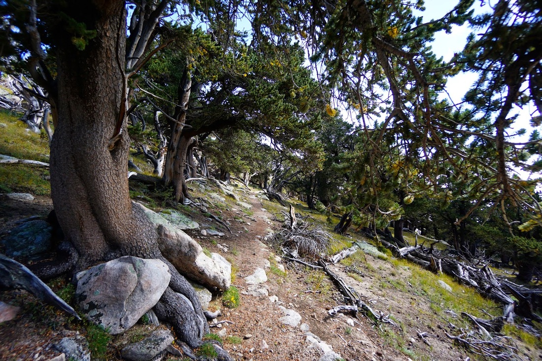
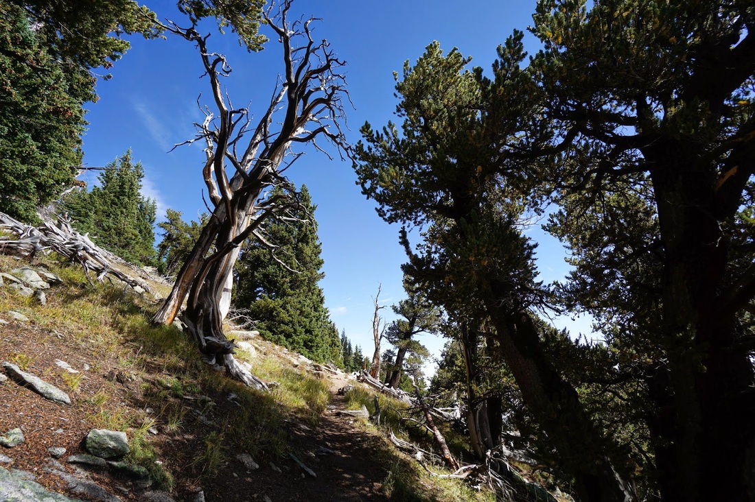
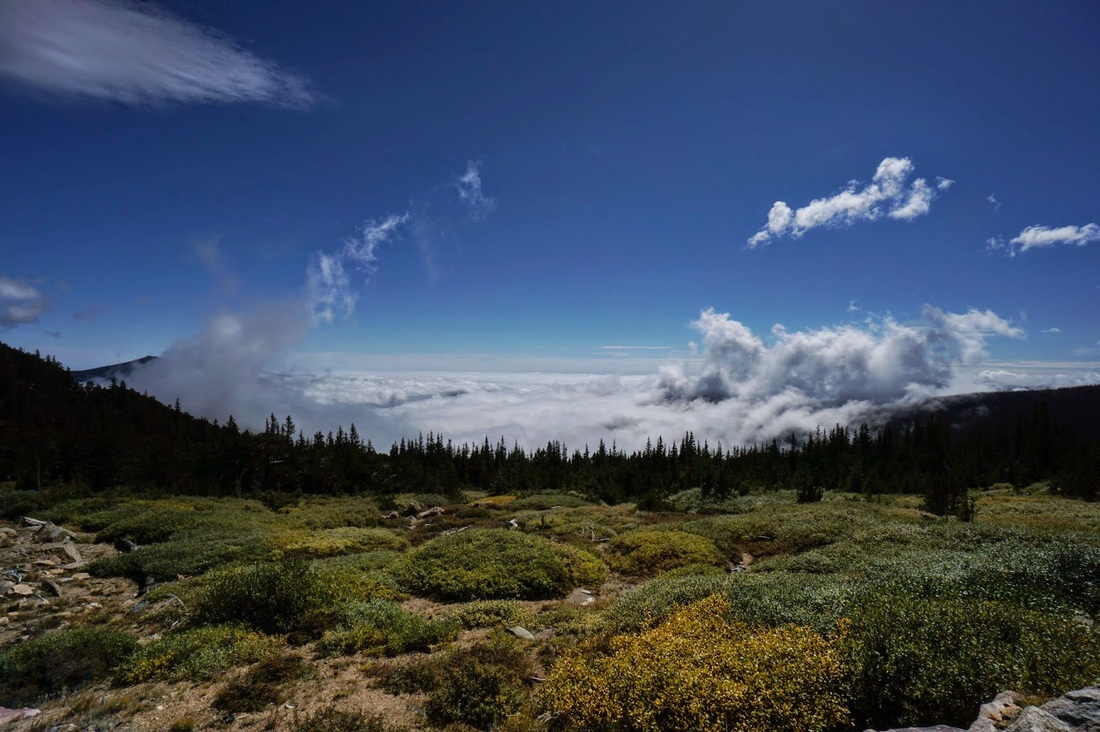
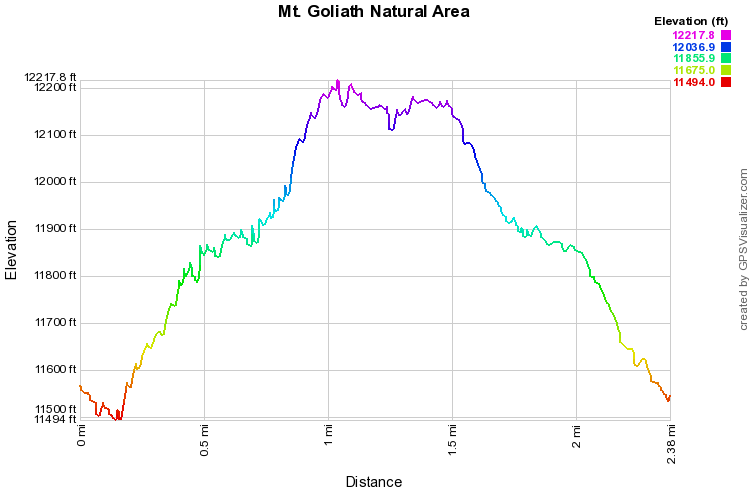
I always assumed that the Mt. Goliath trail system was an easy little nature trail and because of that belief I have overlooked this trail for years. Big mistake. The weather in Denver was foggy, rainy, and cold. The bizarre summer storm system stretched across the whole front range covering the land in a foggy haze. However, turns out that there was an inversion taking place and at about 9,500 feet or so, the weather was beautiful, so I decided to give this hike a try and see what the weather in the area would do. So glad I did. While it is not a strenuous hike, I'd be hard pressed to describe it as easy. You gain almost 900 feet in 1.2 miles, and at high altitude. On this particular day the hike was amazing because the clouds were creeping in from down the valley making it very dramatic. Even without the dramatic weather I would highly suggest this hike. Starting from the lower trailhead, you hike through Bristlecone Pine forest, weaving amongst the ancient trees. As you gain altitude you enter an alpine rock garden and ascend to a rocky ridgline. Make sure you turn right on the Alpine Garden Trail to get to the top of the ridge. When you get to the top of the ridge, you'll think you summitted a high peak. The views stretch on forever. Mt. Evans, Greys & Torrey's Peaks, James Peak, Longs Peak...amazing views. Descend the other side of the ridge to reach the upper trailhead and Mt. Evans Road. From the road head back along the Pessman trail back to the Bristlecone forest and the lower trailhead. Not hard, but not easy, yet worth every bit of high altitude effort. |
|